South Fork Mountain
Third Ascent — December 6, 2025 — Most Recent
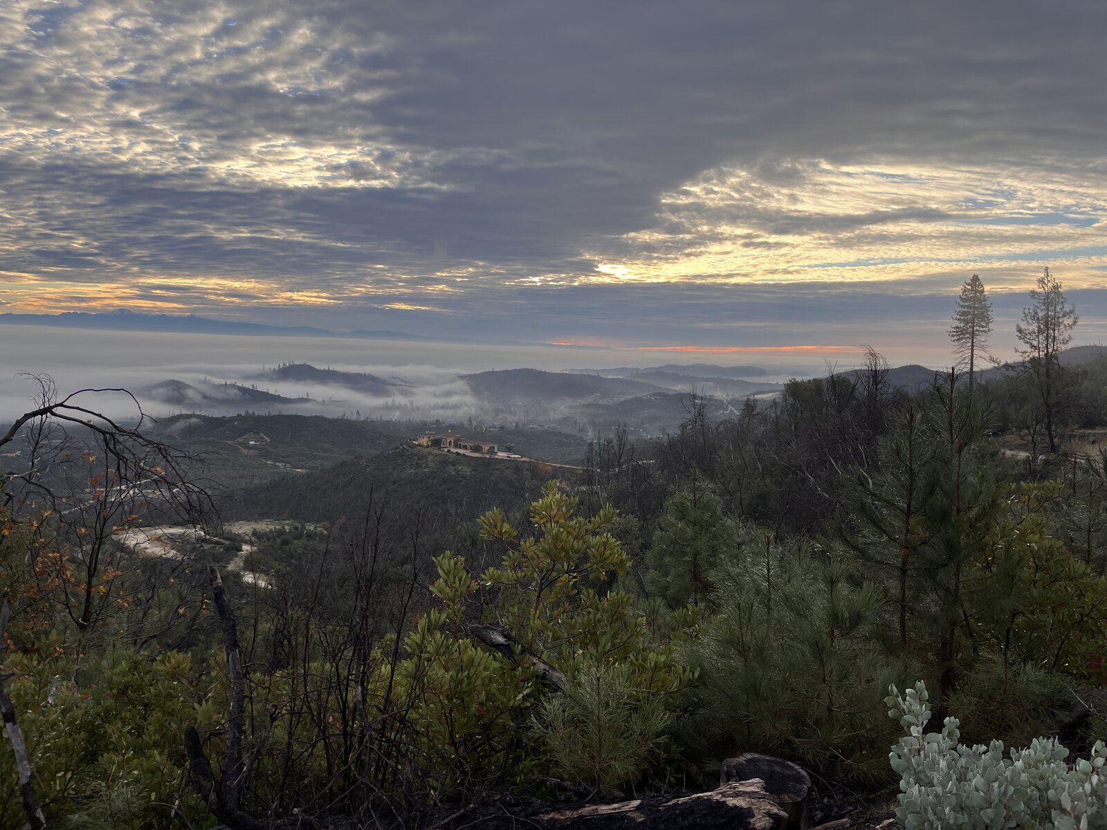
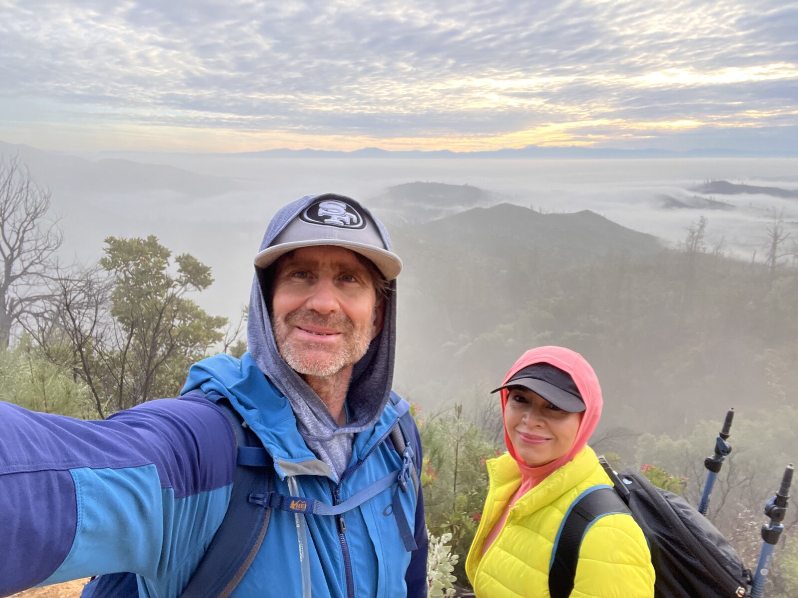
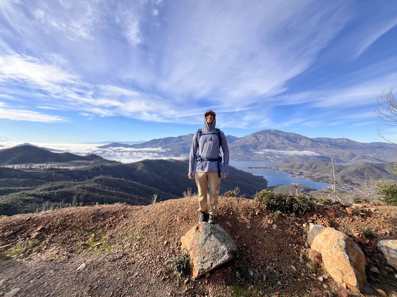
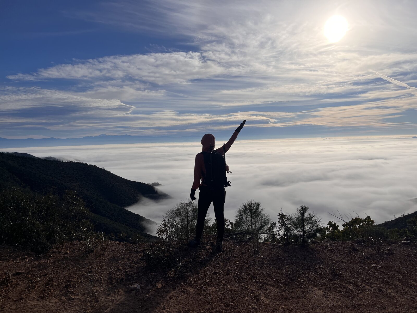
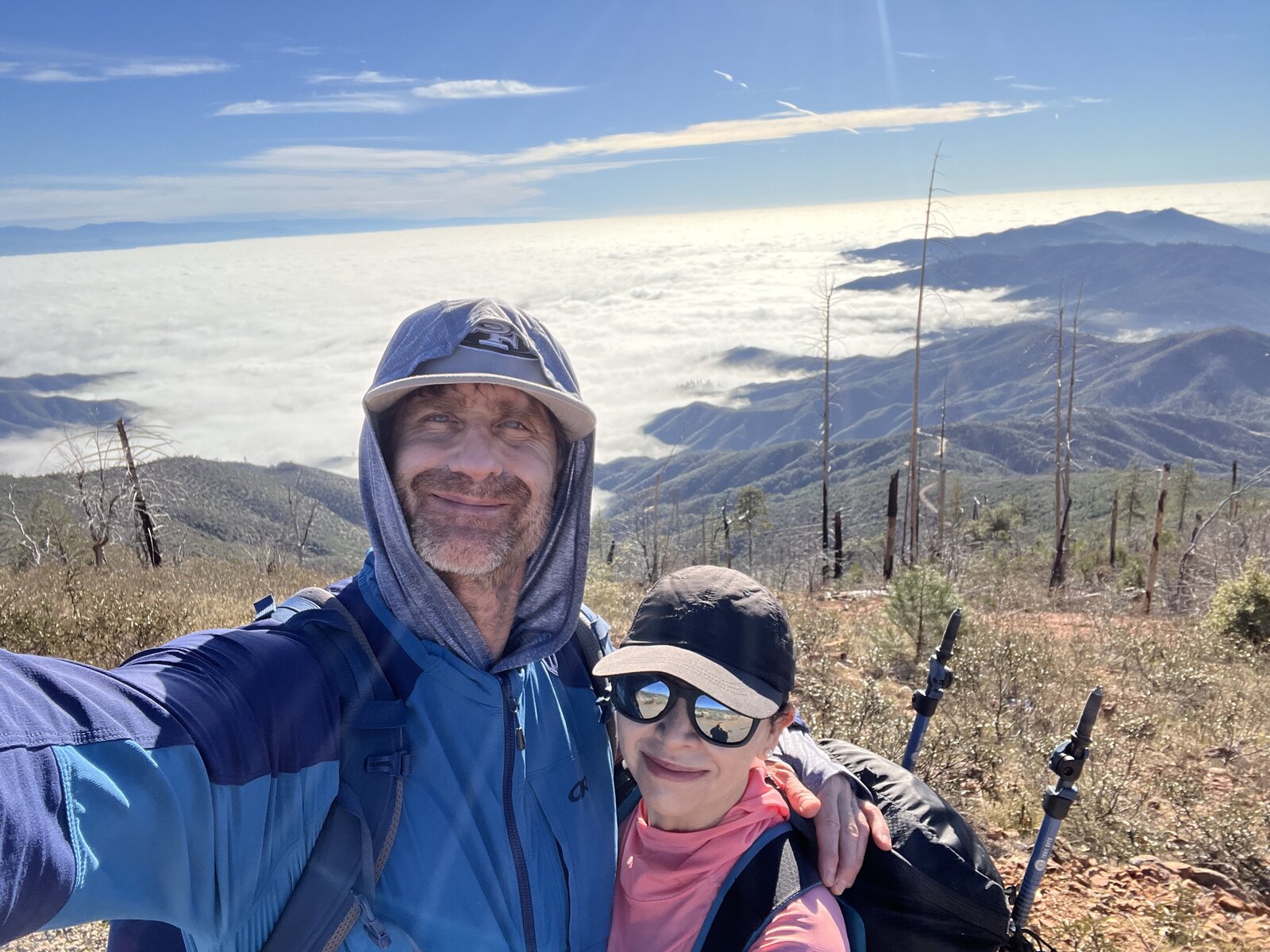
Back up South Fork Mountain for another training day, this time carrying full packs and watching the pace the whole way — 14 miles and 2,100 feet of gain, finishing at a 16:50 per-mile pace with the extra weight on our backs. A foggy, colorful sunrise greeted the first few miles, low clouds pooling in the valleys below while the sky lit up orange and pink overhead.
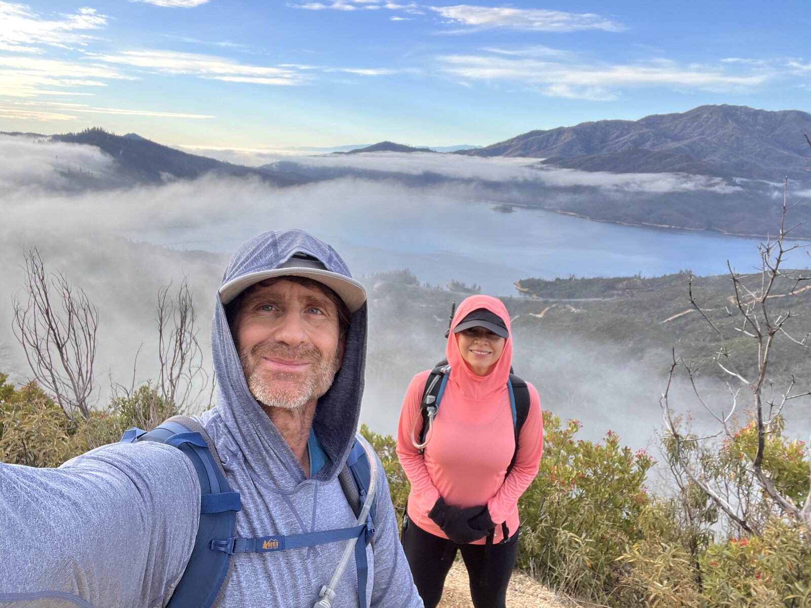
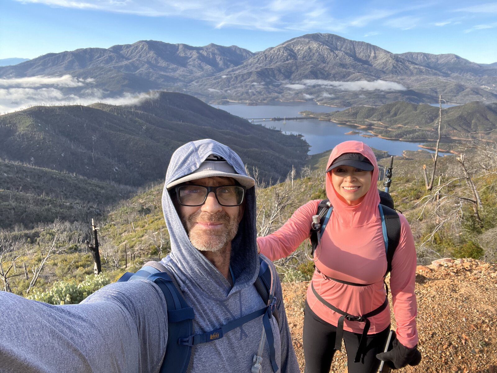
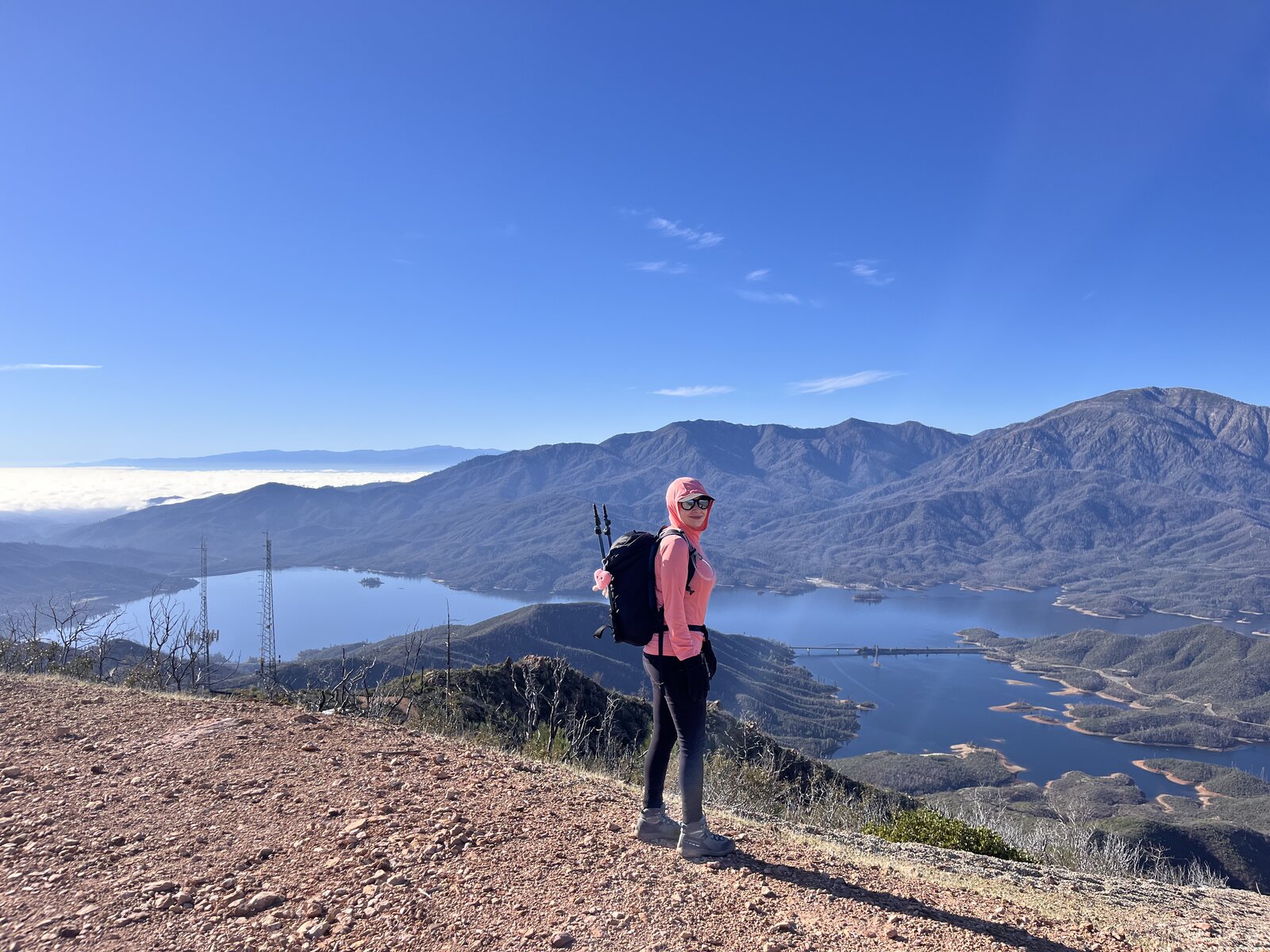
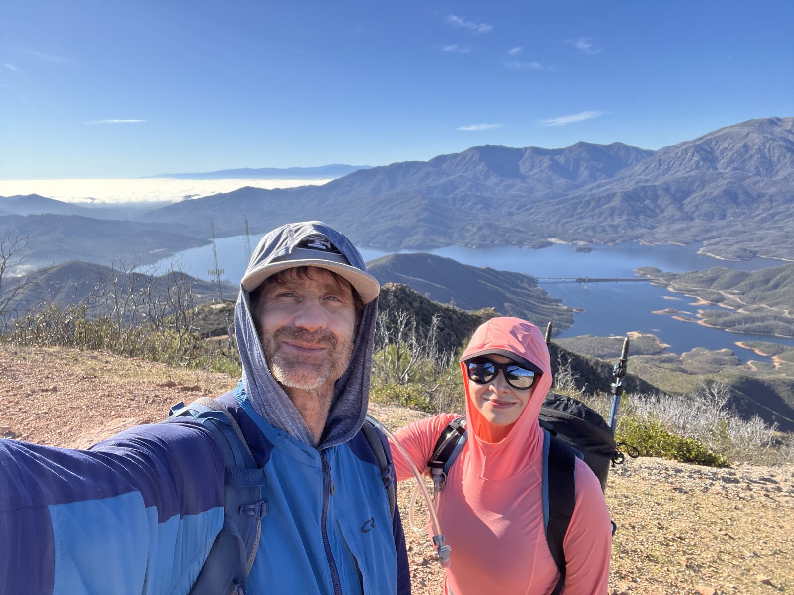
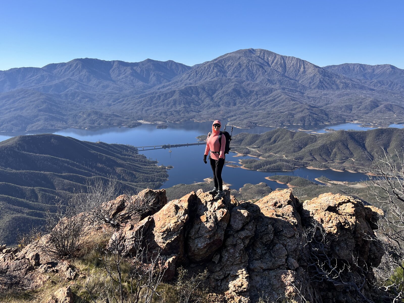
The fog burned off steadily through the morning, Whiskeytown Lake emerging piece by piece from the cloud layer as the trail climbed higher — first just glimpses of blue through gaps in the mist, then the whole lake spread out clearly under a bright winter sky by the time the open ridgeline took over for good.
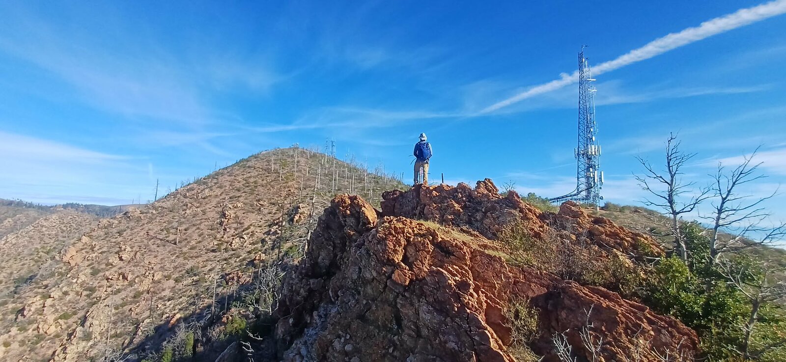
The old lookout site at the top delivered the same big payoff as always, the decommissioned tower still standing watch over the ridge with sweeping views in every direction. A genuinely happy result carrying full pack weight over this distance — solid proof that the training is paying off.
Another great day on one of Redding's best training hikes, made even better by the sunrise-to-clear-sky transformation over Whiskeytown Lake along the way.
Second Ascent — March 16, 2024
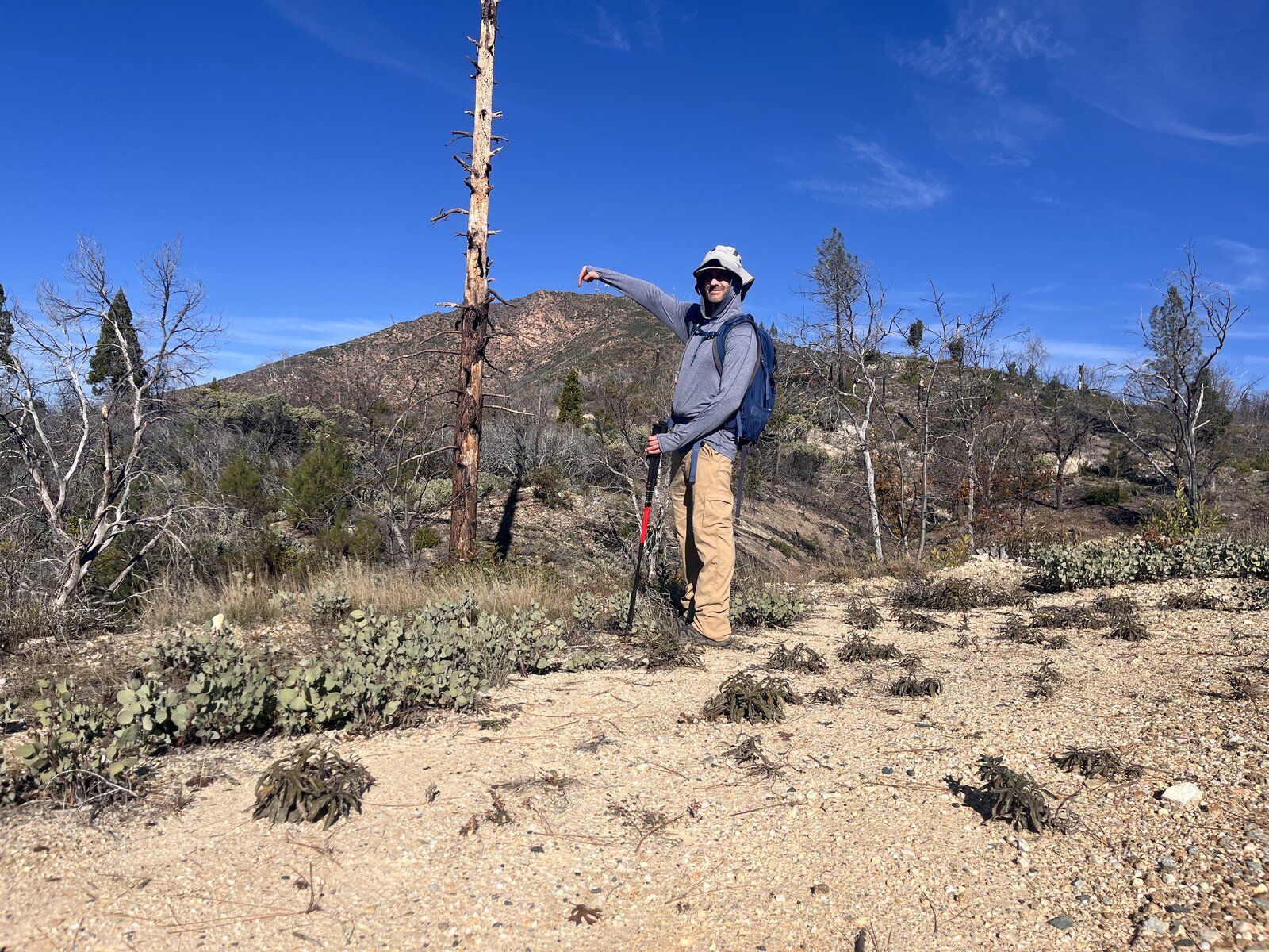
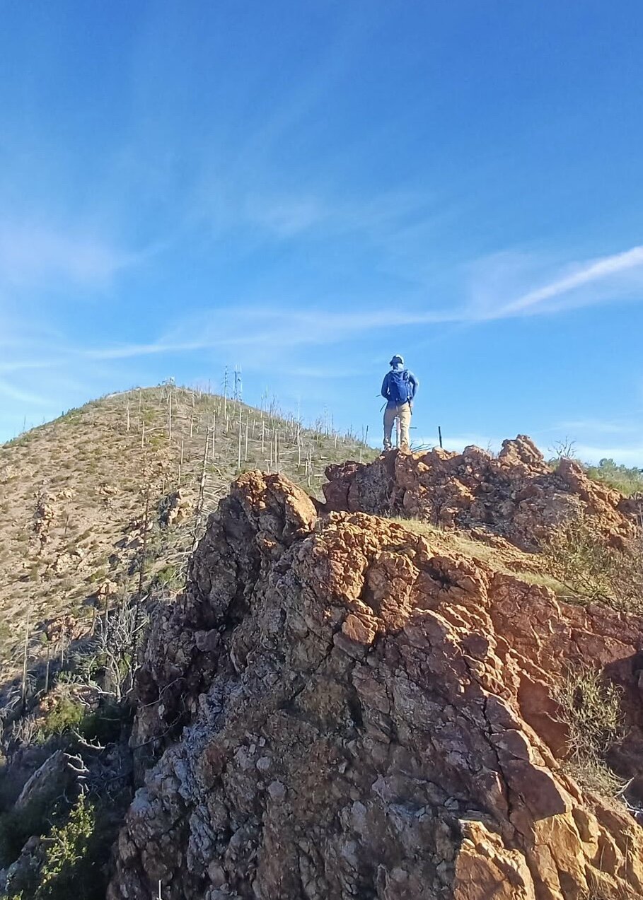
Back up South Fork Mountain two months later, and this time a completely different hike — dry, clear, and sunny instead of snow on the switchbacks, with the burned trunks along the lower miles now surrounded by fresh green regrowth pushing hard into spring.
The open ridgeline stretches gave the same big payoff as the first trip: Whiskeytown Lake spread out below, its branching arms cutting through the dry hills, with just a few lingering patches of snow still visible on the higher peaks in the distance. A good reminder of how much a season can change the same exact trail.
Still one of the best training hikes out of Redding — long enough to build real fitness, and different enough each season to never get old.
First Ascent — January 15, 2024
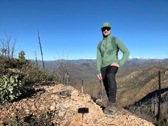
South Fork Mountain has become one of the go-to training hikes out of Redding — a wide, steady lookout road that starts right across from the Whiskeytown Visitor Center and just climbs, mile after mile, with no real technical difficulty but plenty of vertical to make it count. Fourteen miles round trip with a little over 2,000 feet of gain is exactly the kind of long, grinding day that makes bigger mountains feel more manageable later.
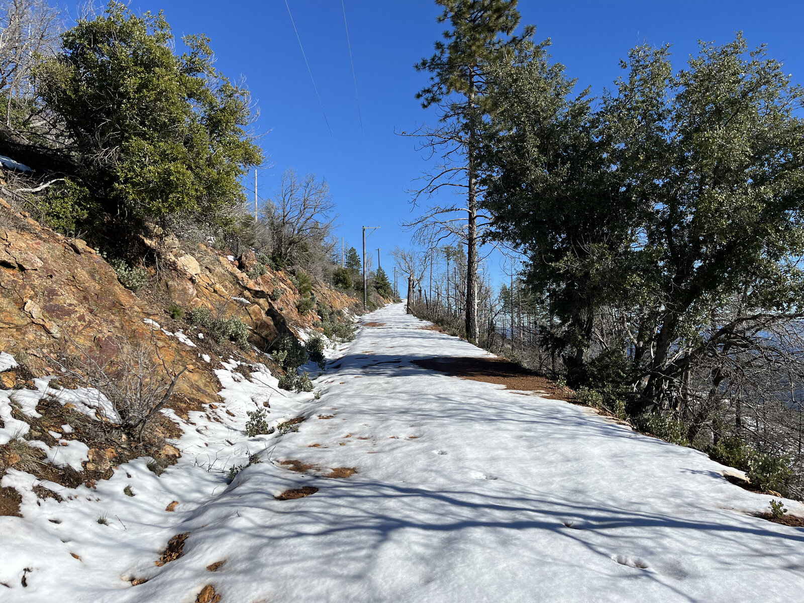
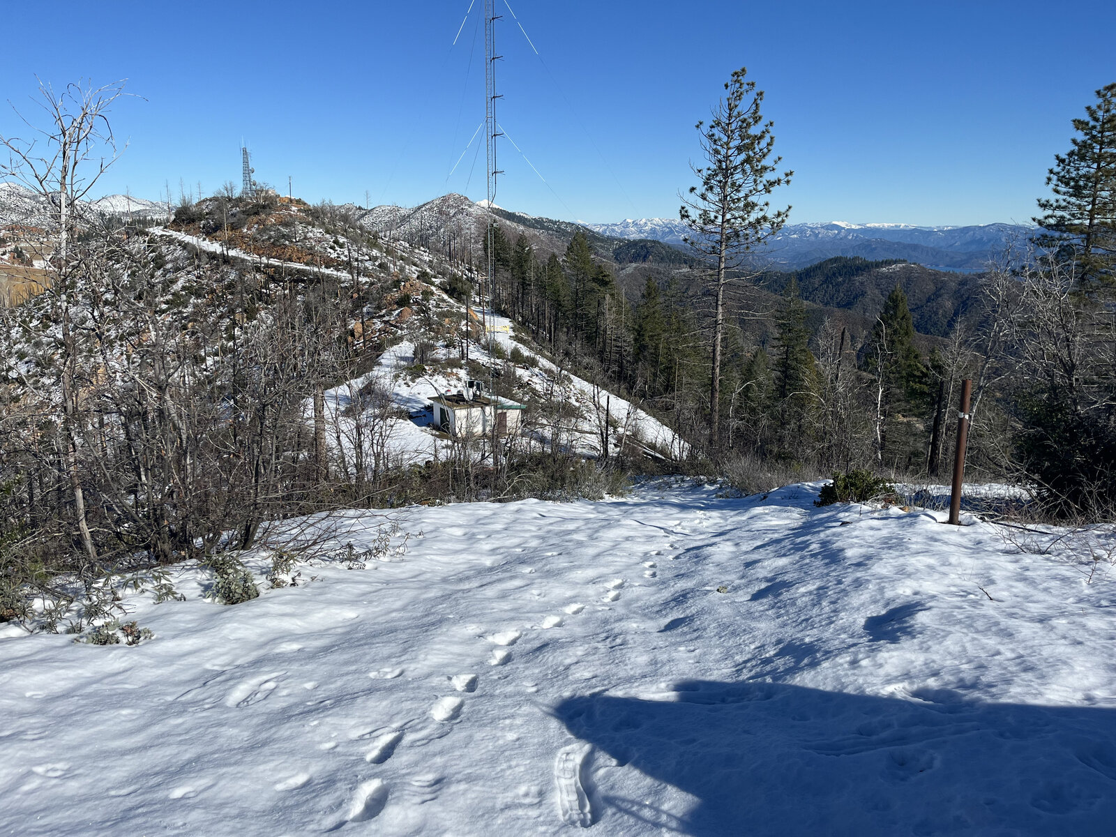
The lower miles wind through forest still recovering from the Carr Fire — blackened trunks standing next to fresh green regrowth — before the road breaks out onto open, exposed ridgeline for the last push to the old lookout site. January had the upper switchbacks dusted in snow, just enough to turn the fire road white and make for a proper winter training hike without any real technical demands.
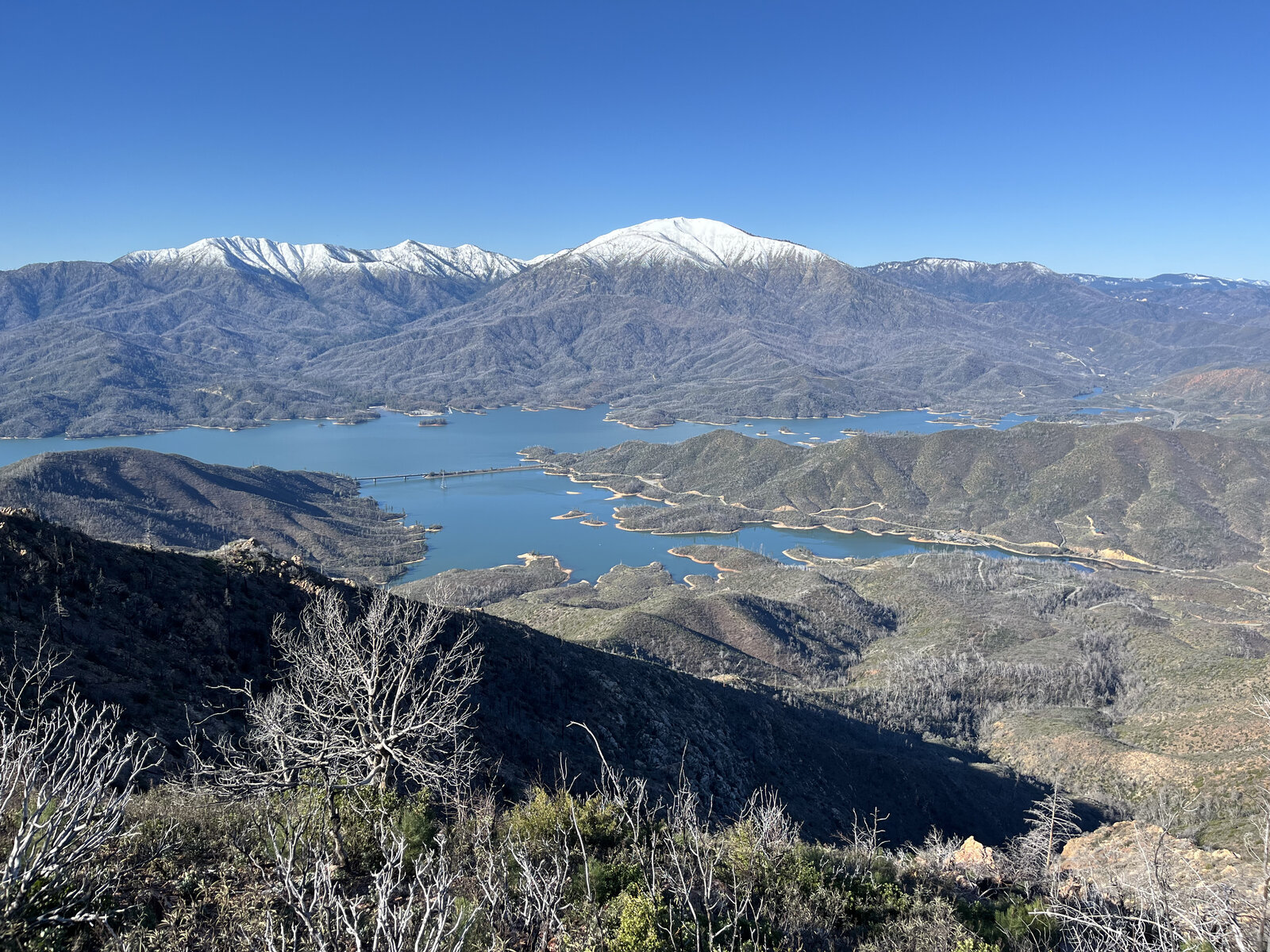
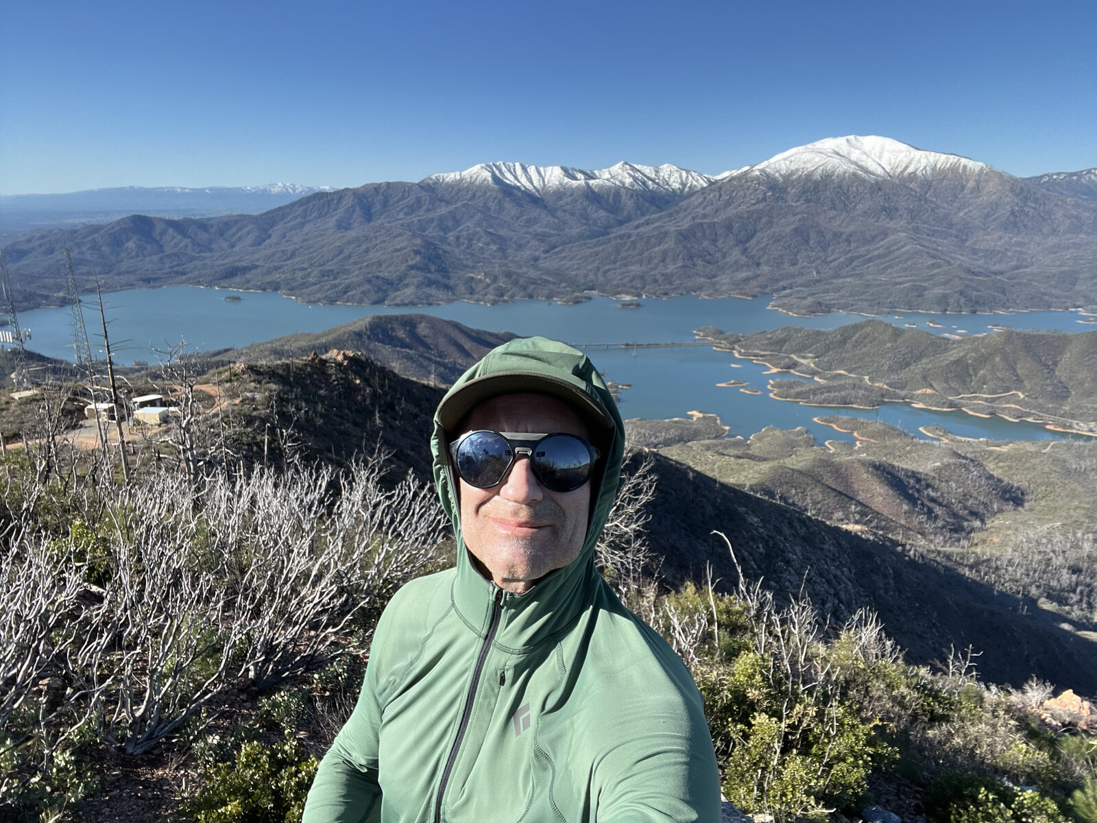
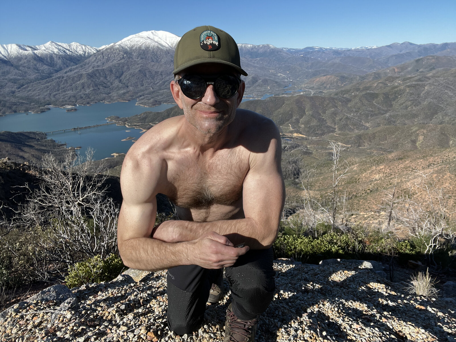
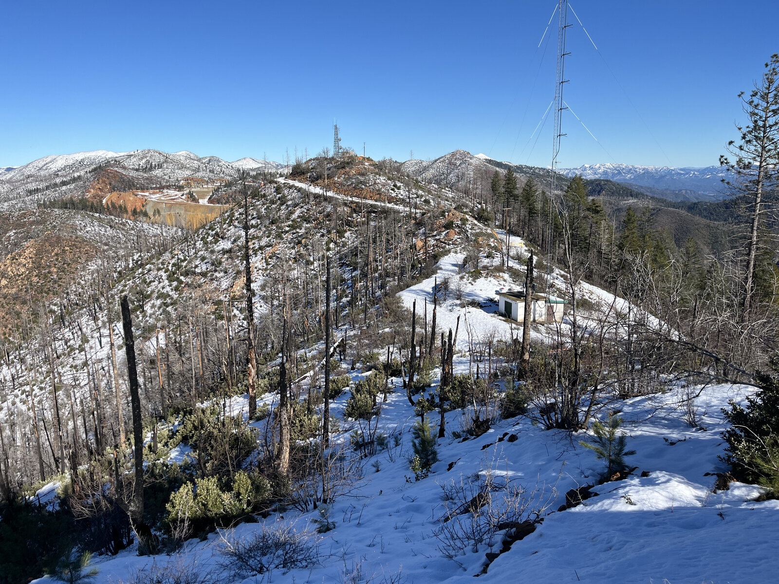
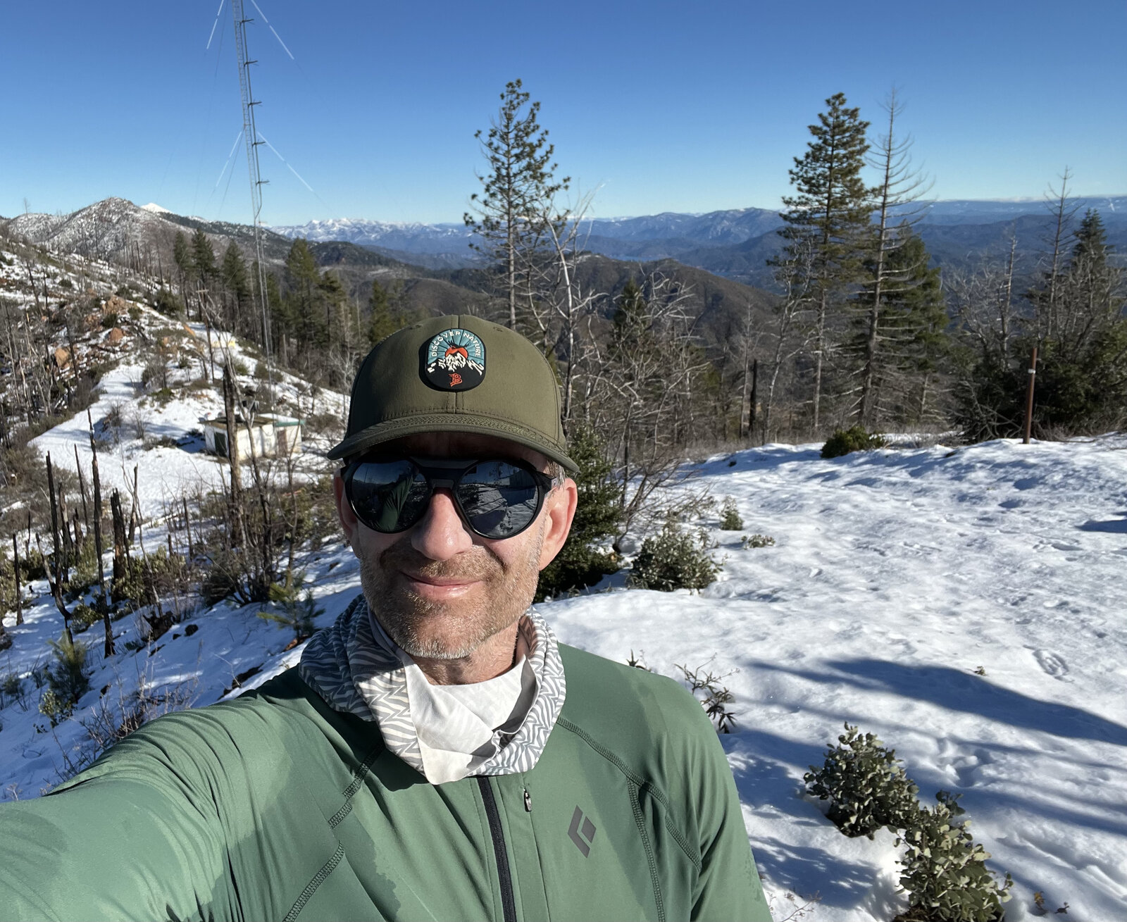
The payoff at the top is a big one: a sweeping view down over Whiskeytown Lake, its branching arms cutting through the snow-dusted hills, with the old fire lookout's tower and support building still standing at the summit. A good place to catch your breath before the long walk back down the same road.
A great training hike, plain and simple — long enough to build real fitness, close enough to Redding to do on a regular basis, and with just enough snow and scenery in the winter months to keep it from ever feeling like a chore.
Comments