Siligo Peak
Second Ascent — October 10, 2026 — Most Recent
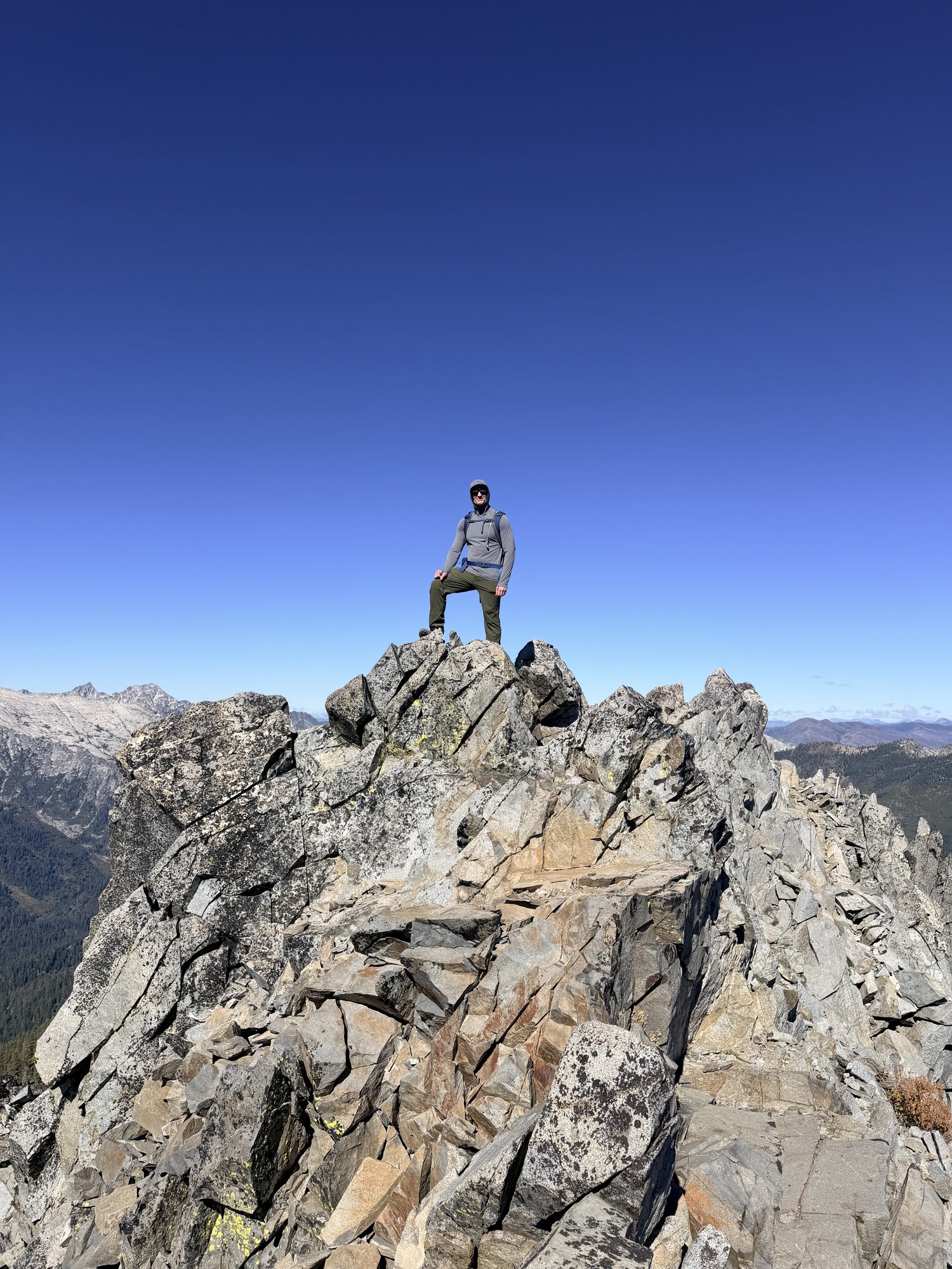
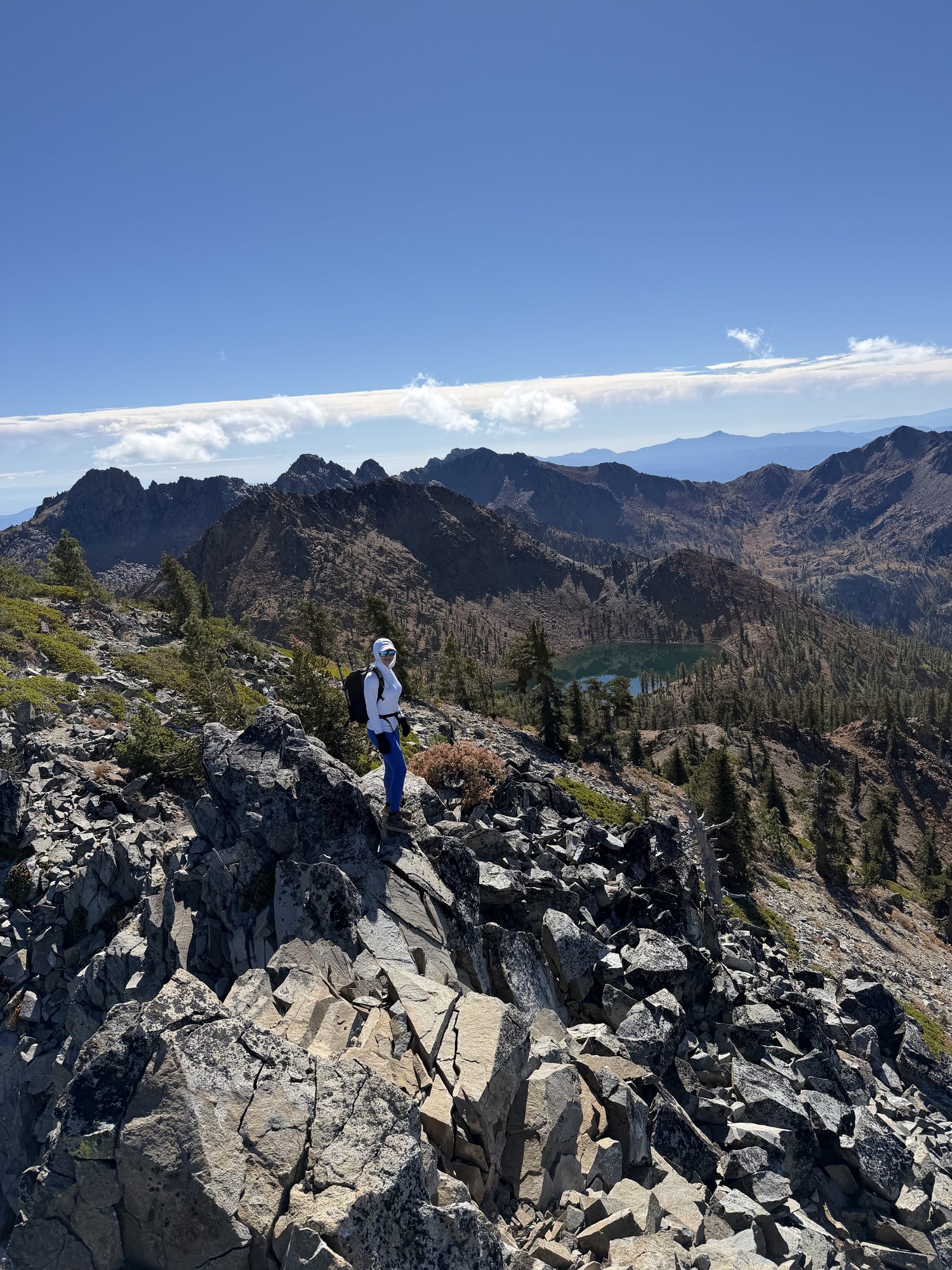
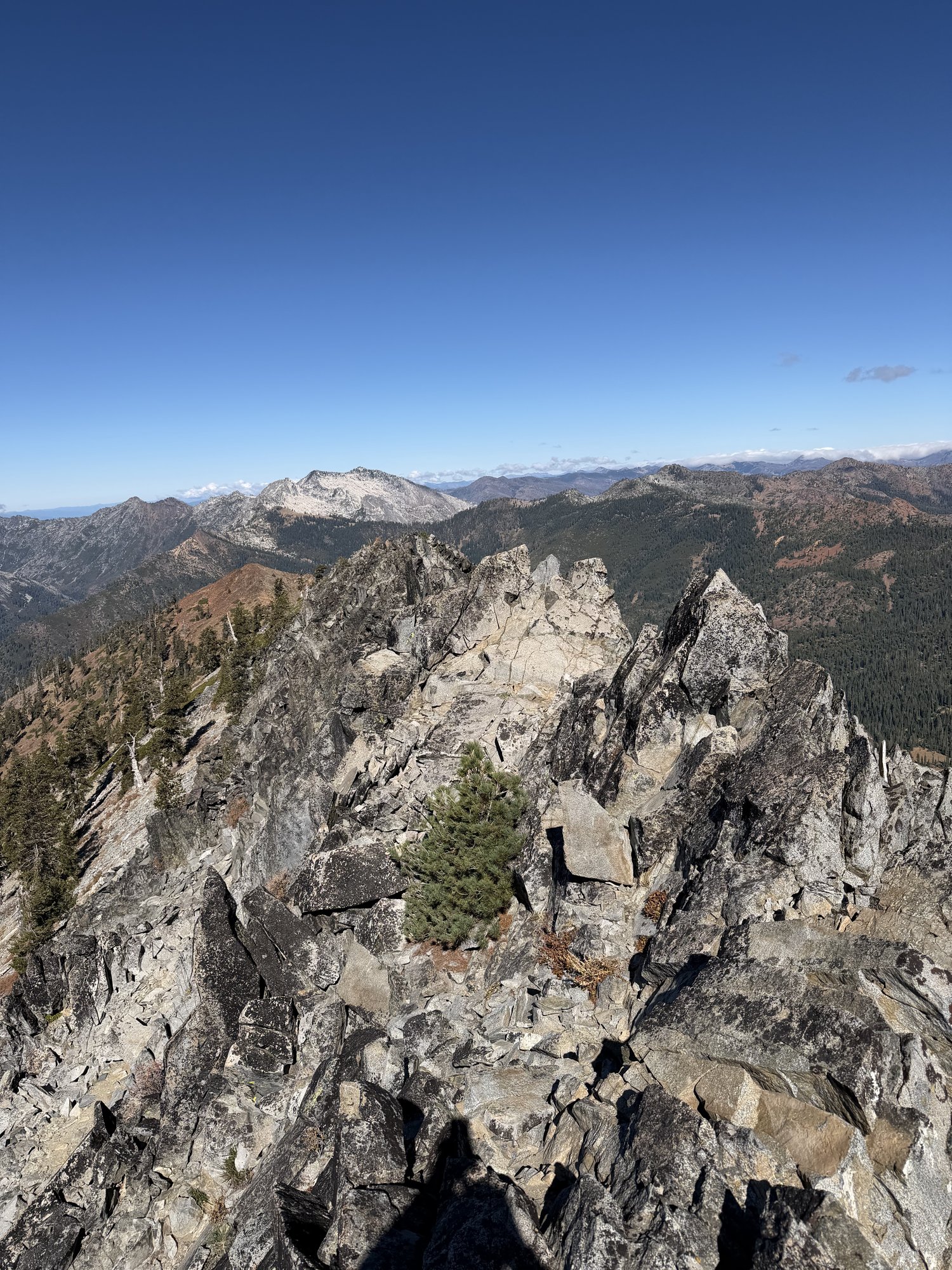
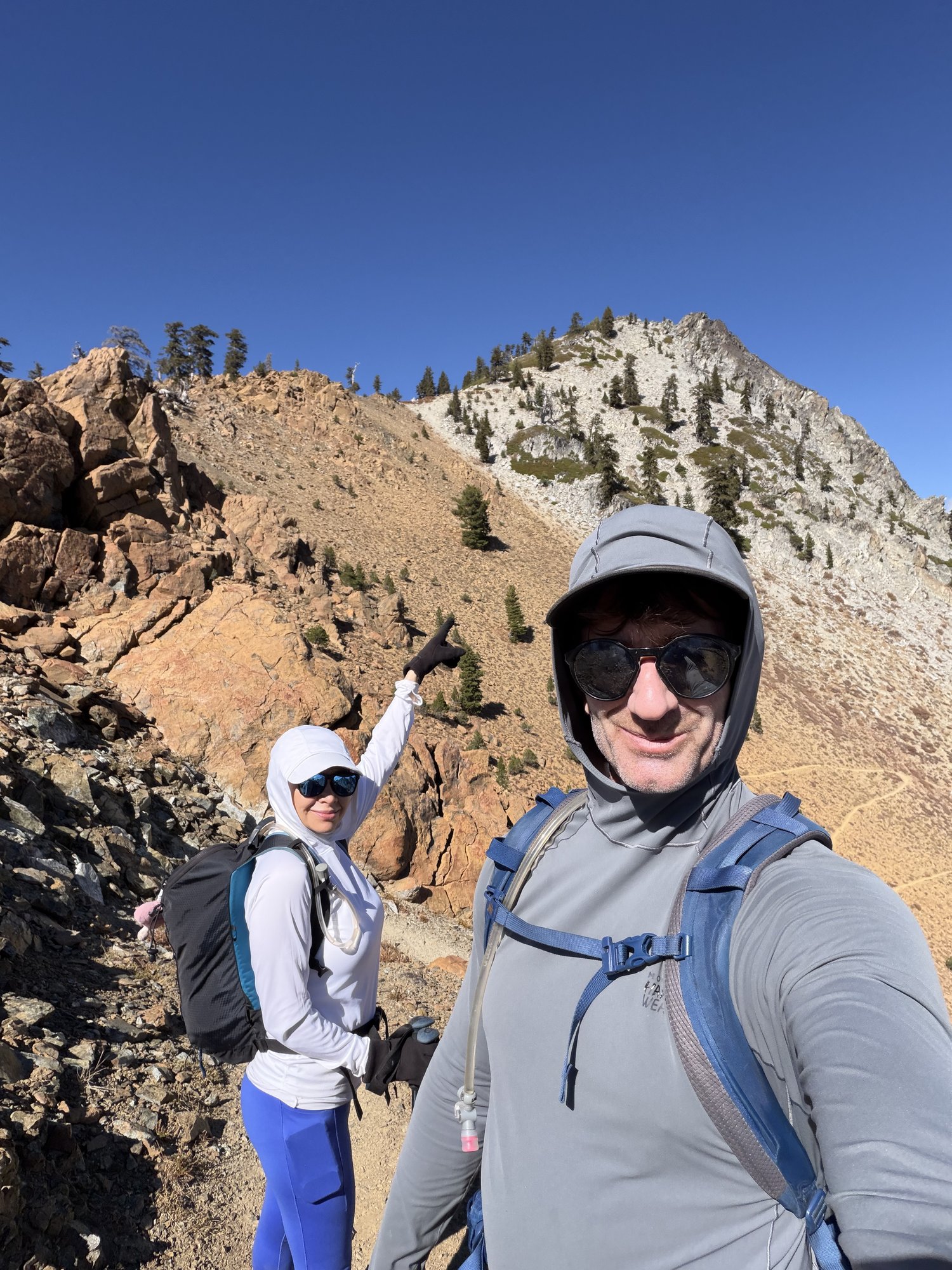
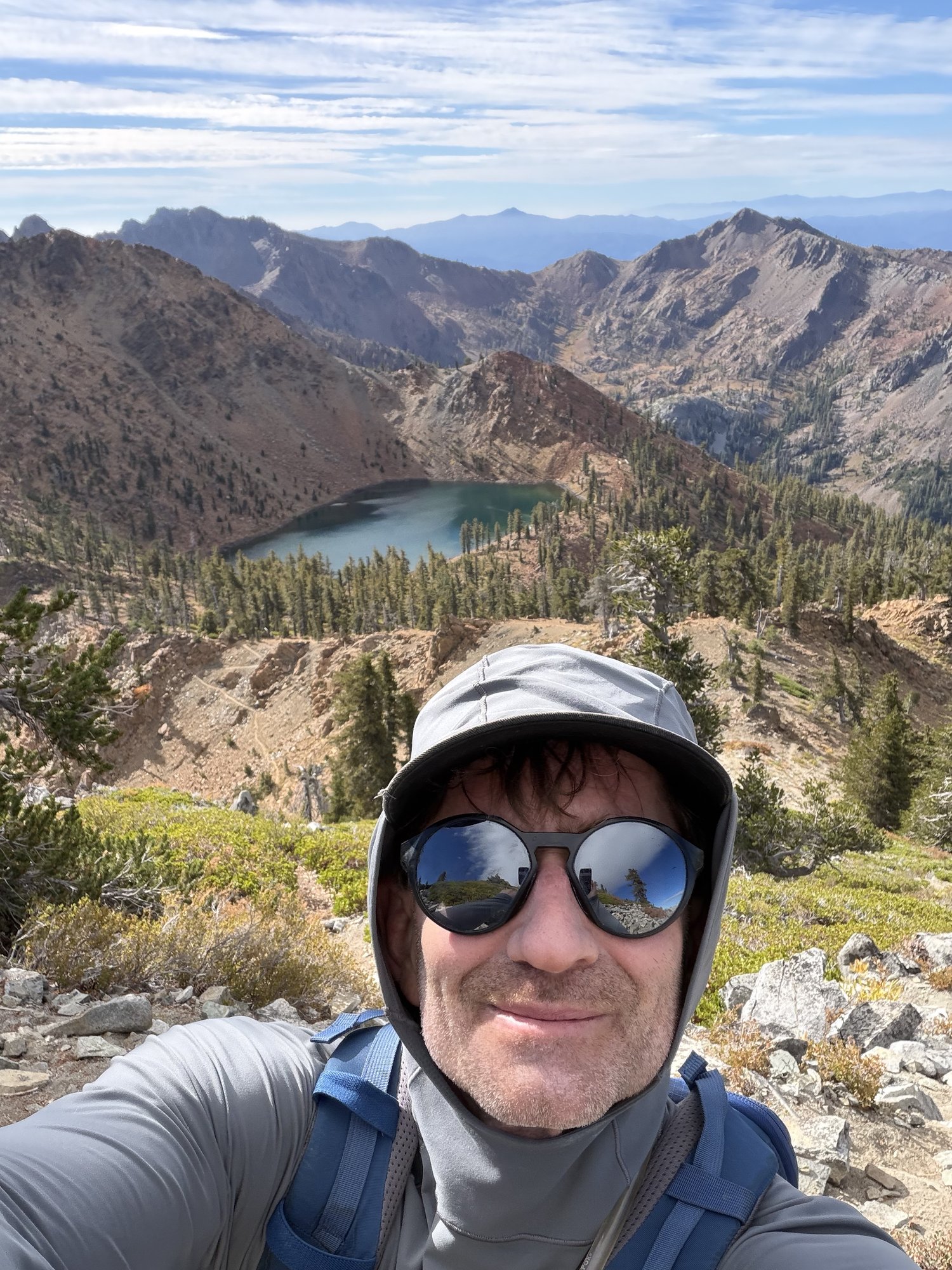
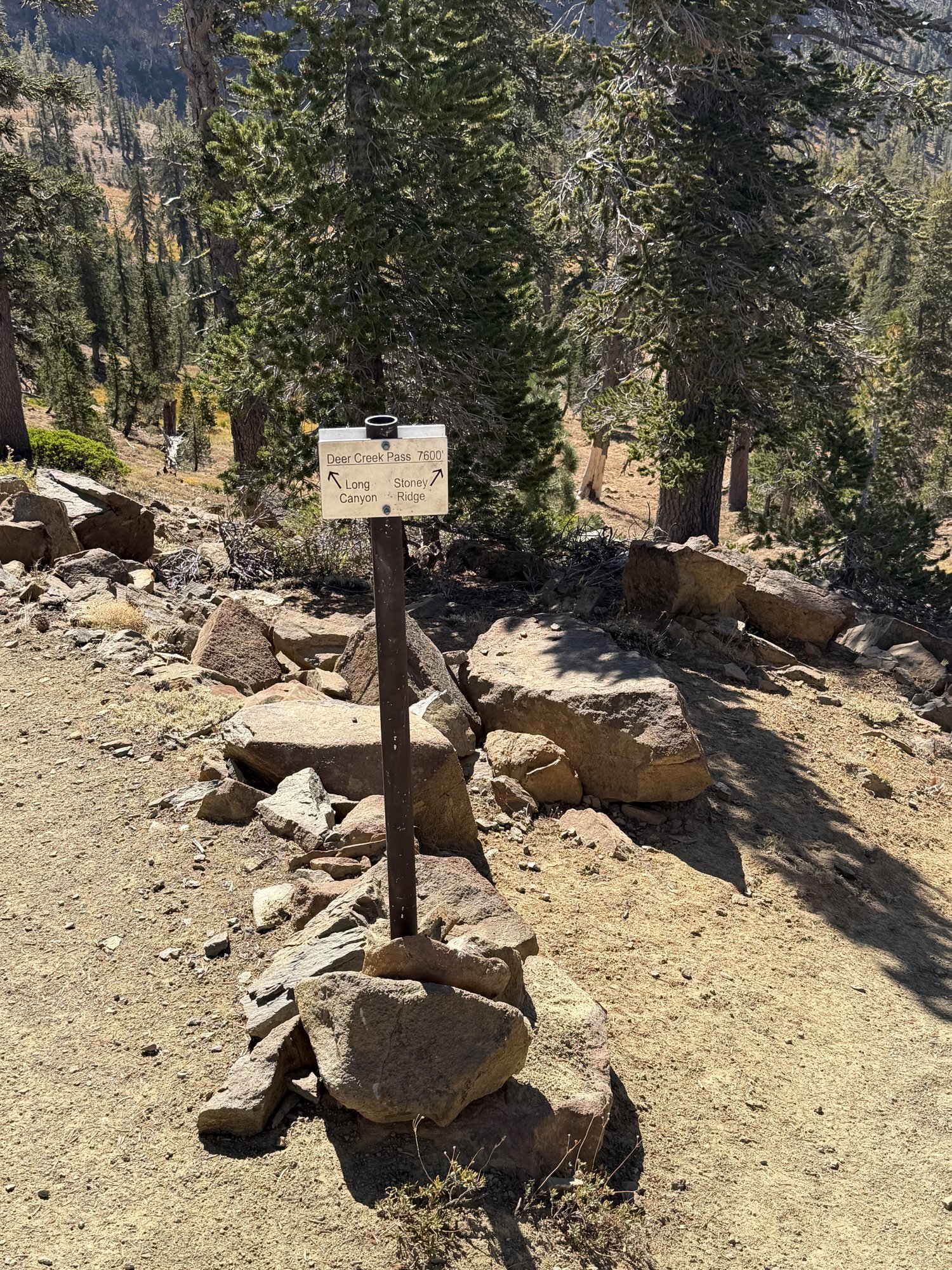
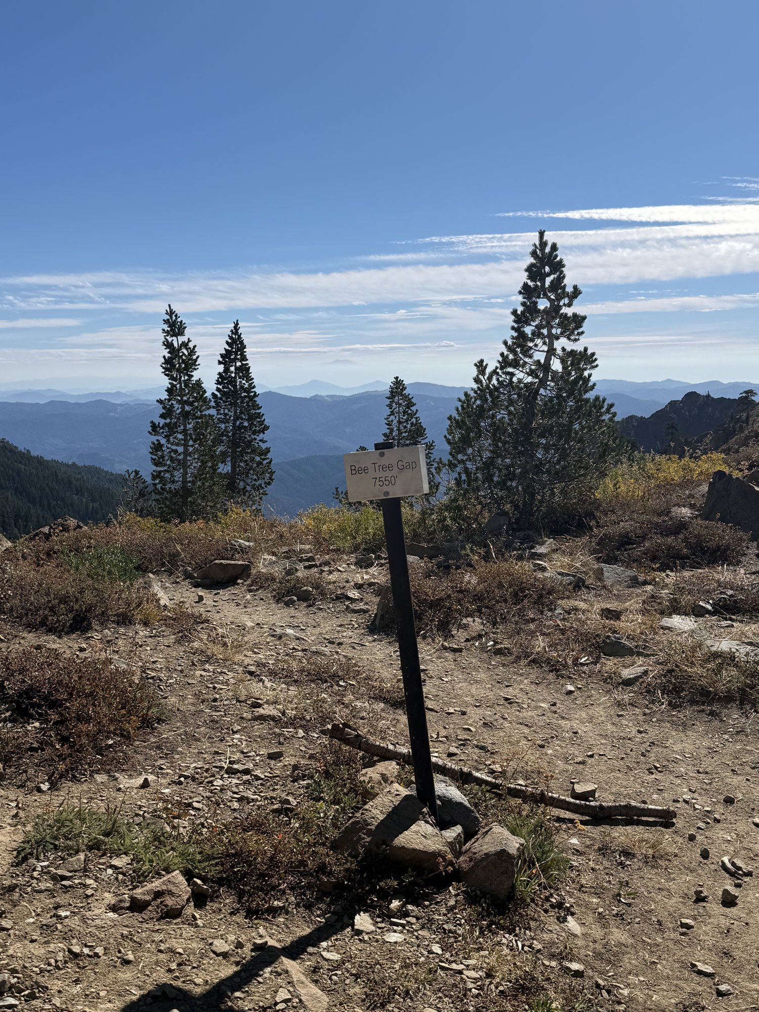
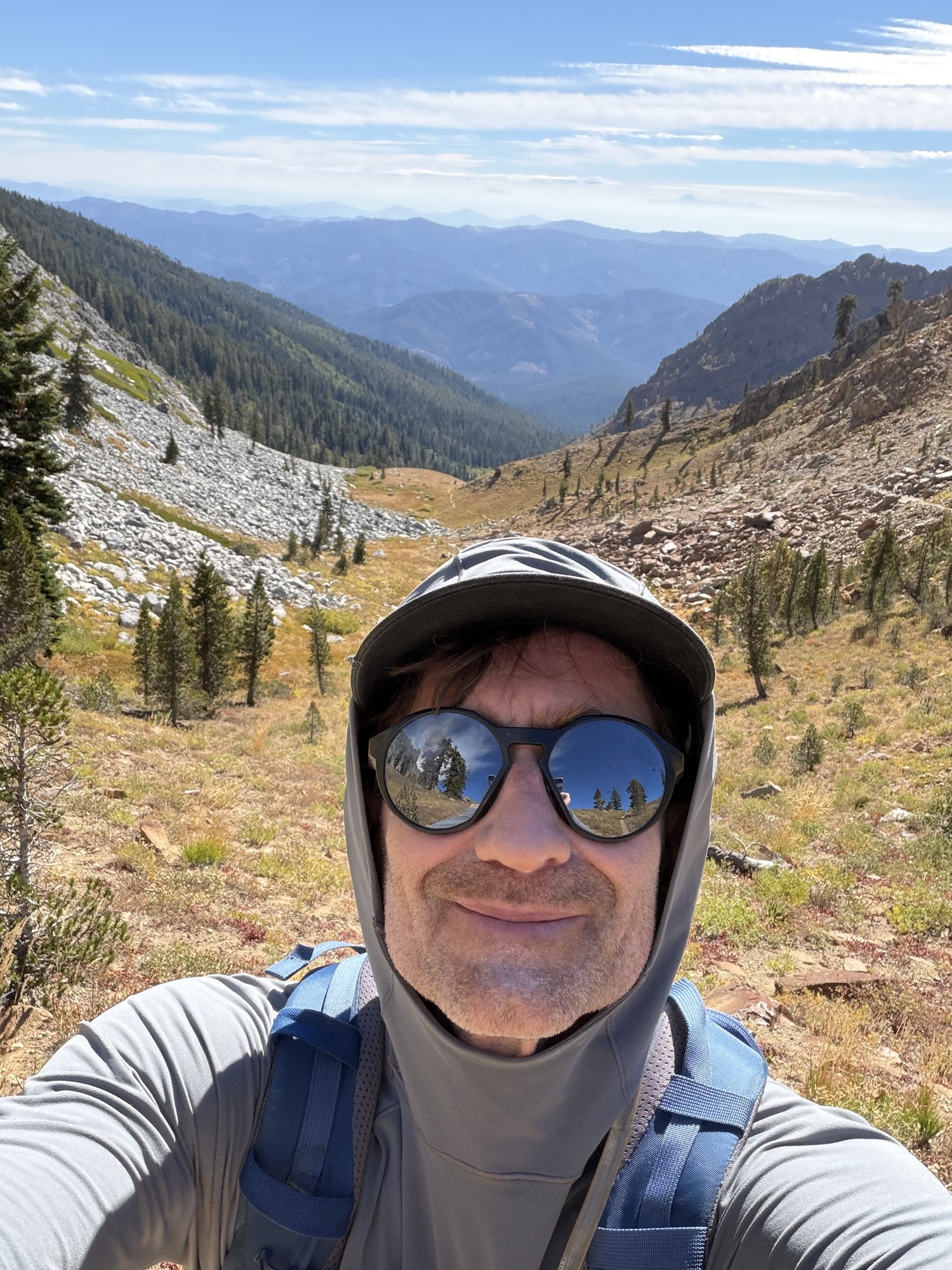
Second time up Siligo Peak, this time with Lupita along for the whole loop — and just as beautiful the second time around. The same four-stage shape held up: forest, Bee Tree Gap, Deer Creek Pass, and then the long ridge out to the summit.
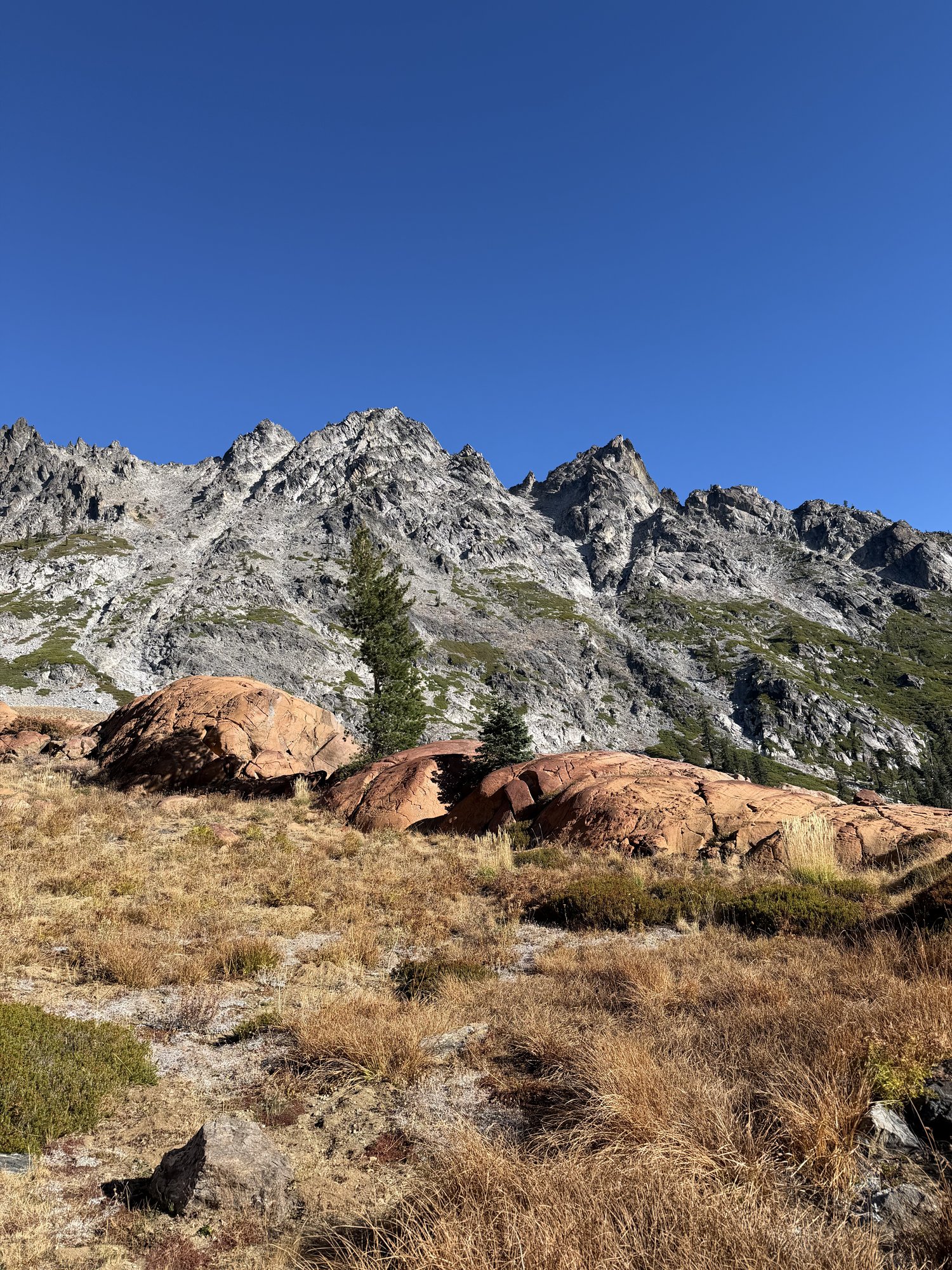
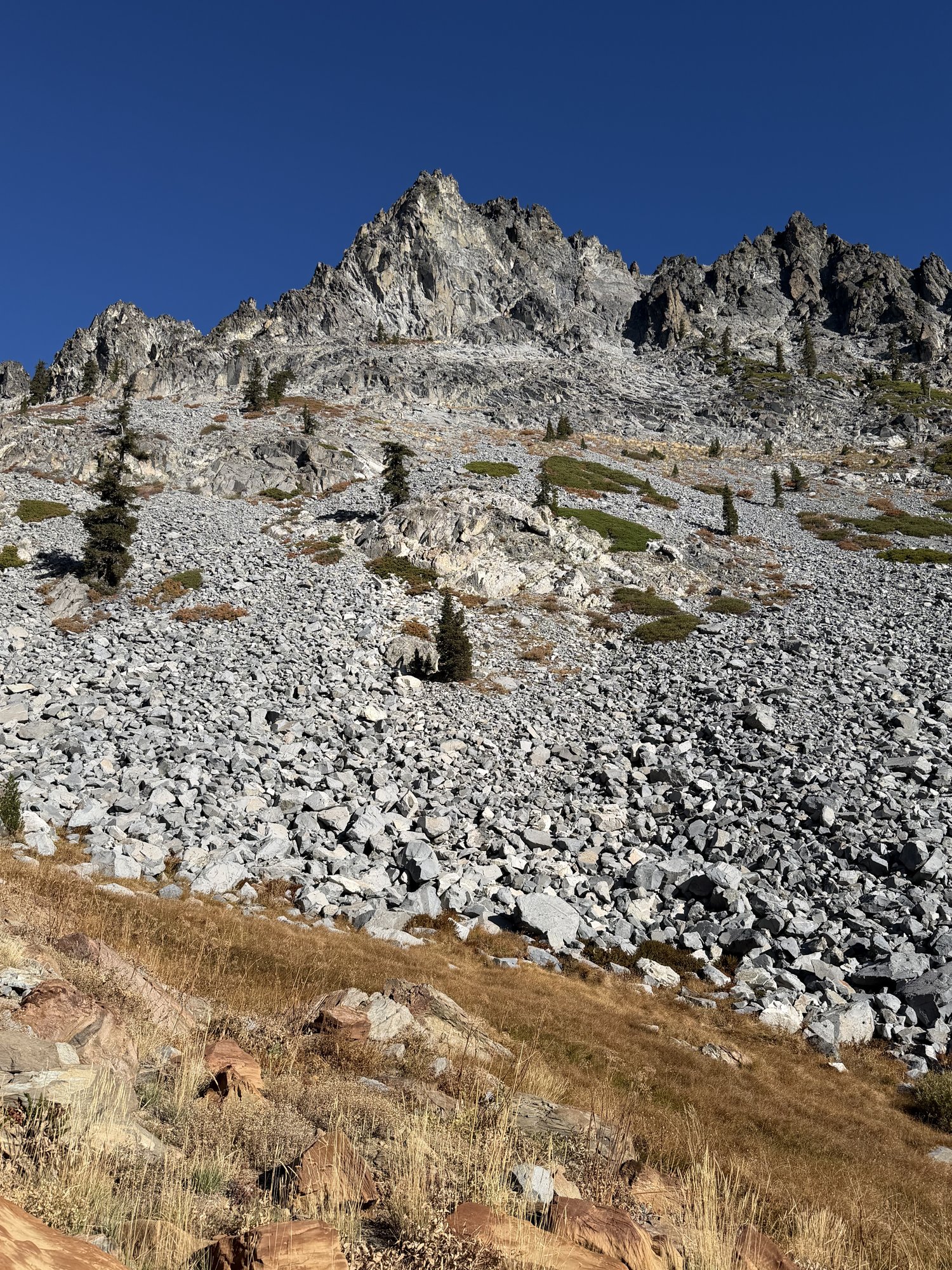
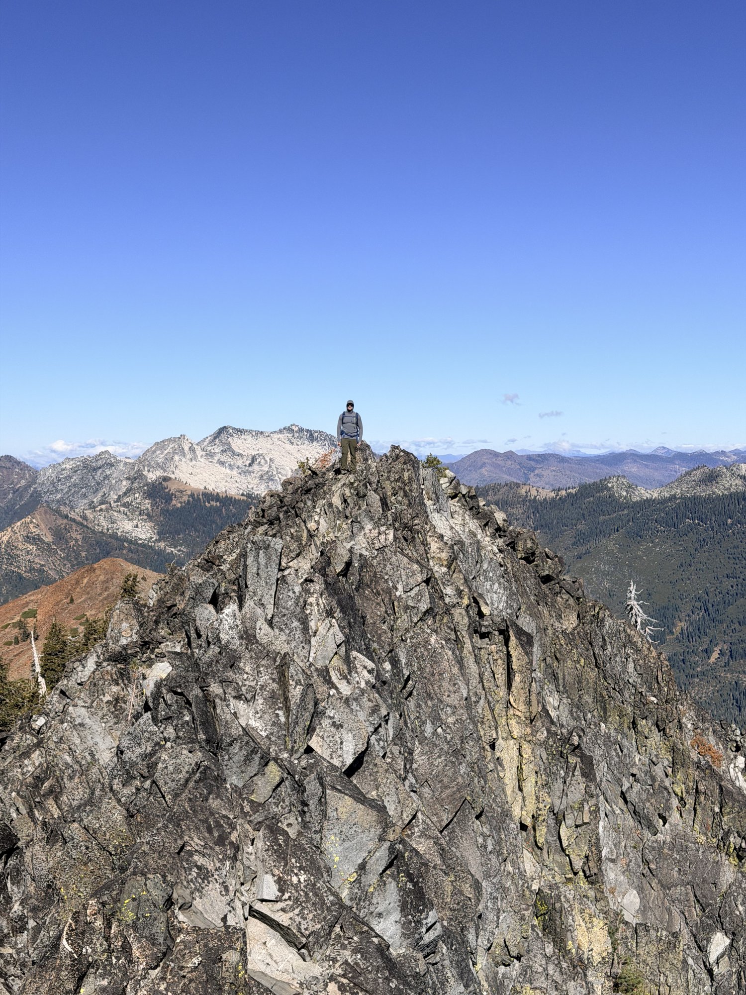
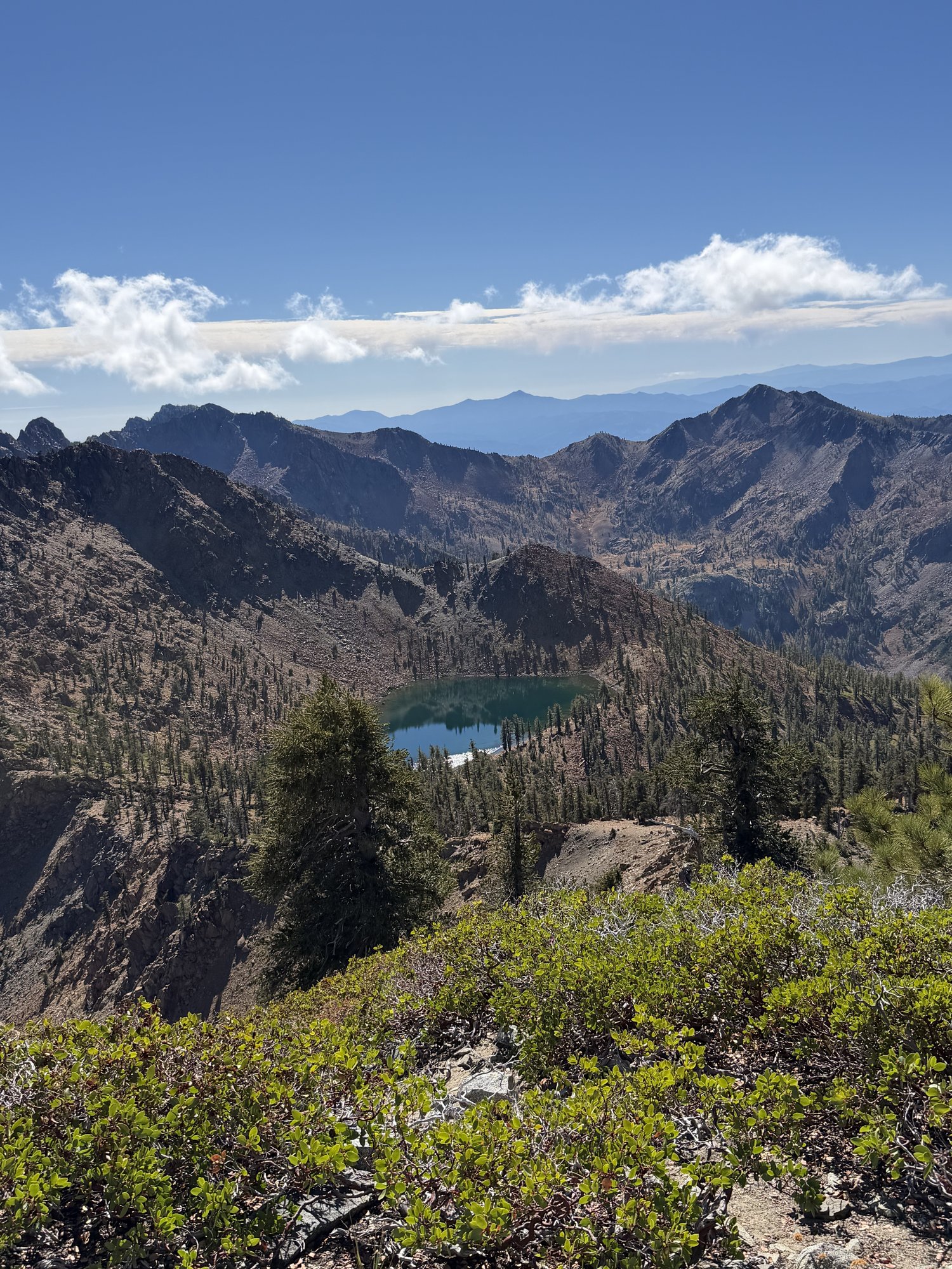
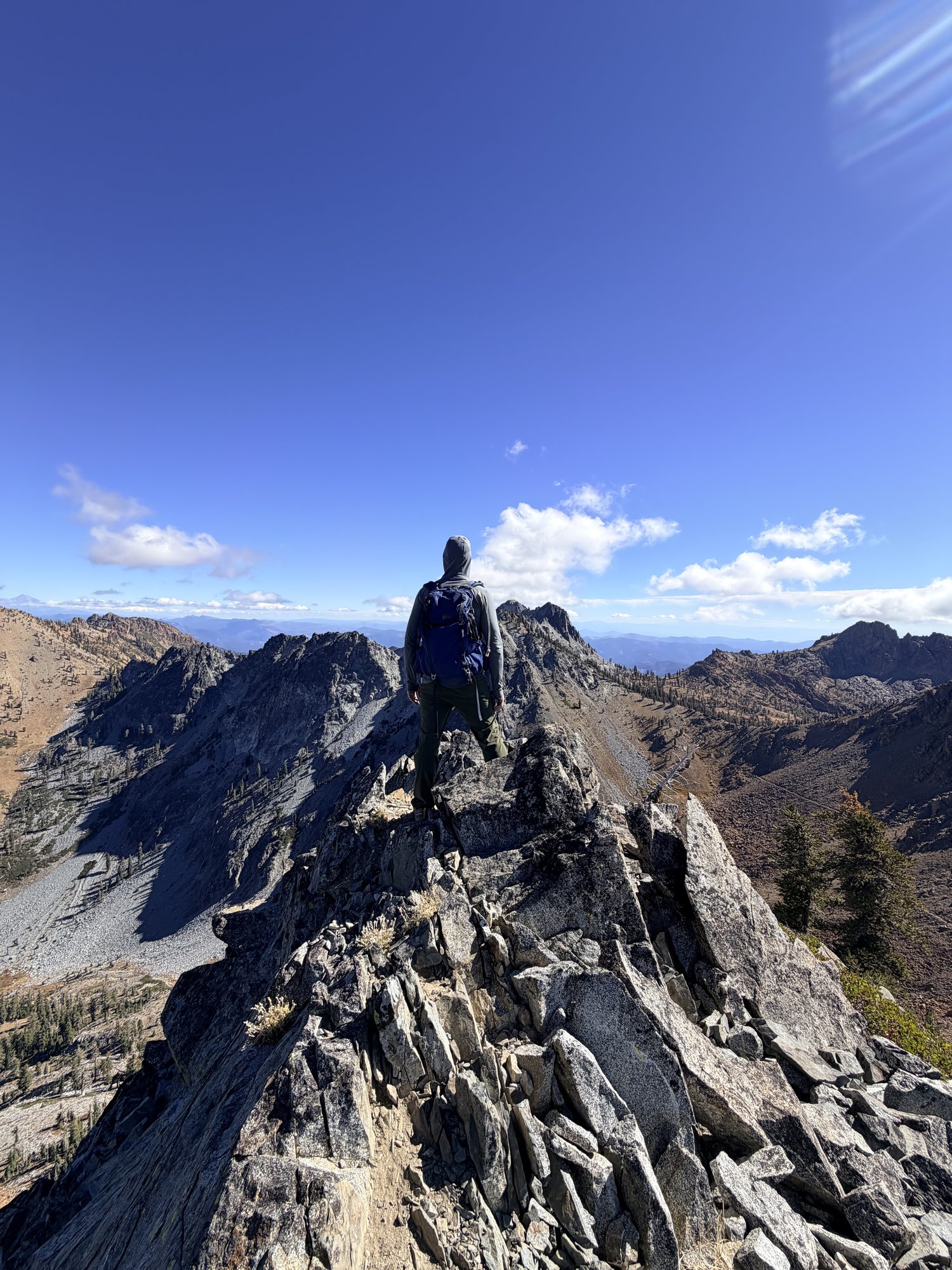
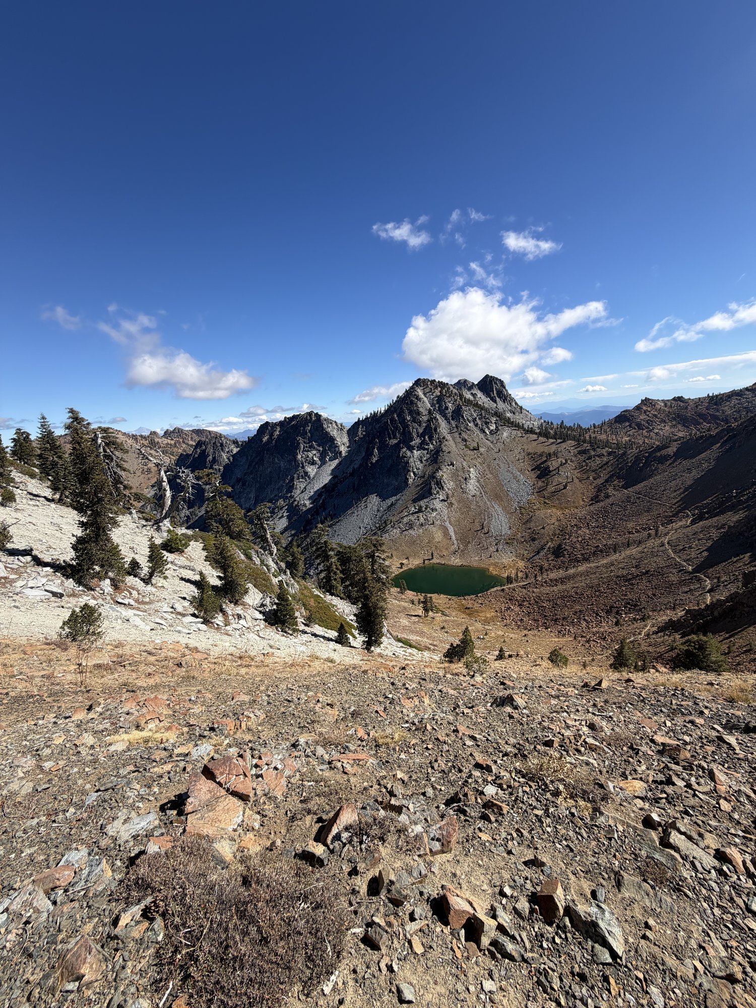
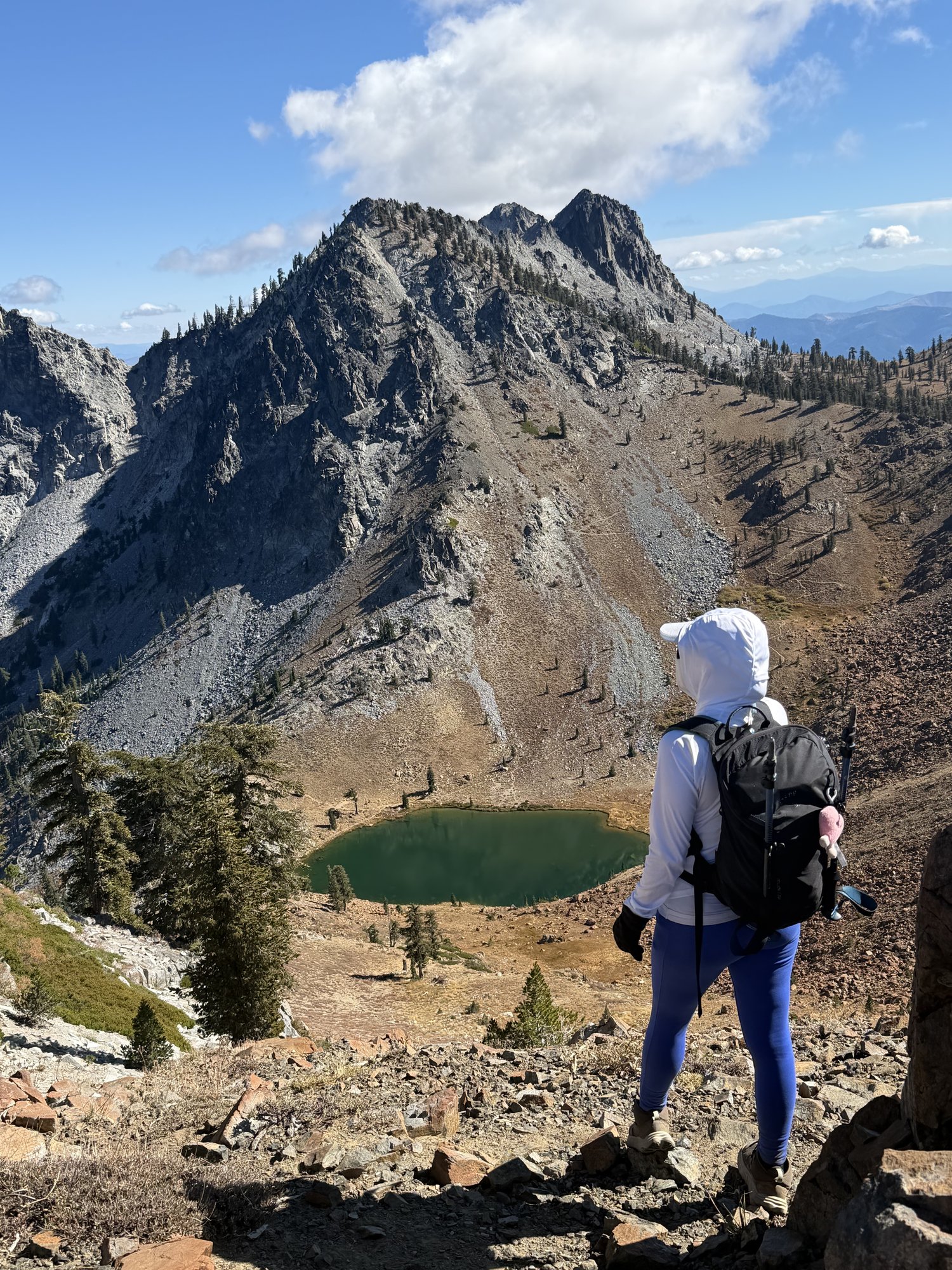
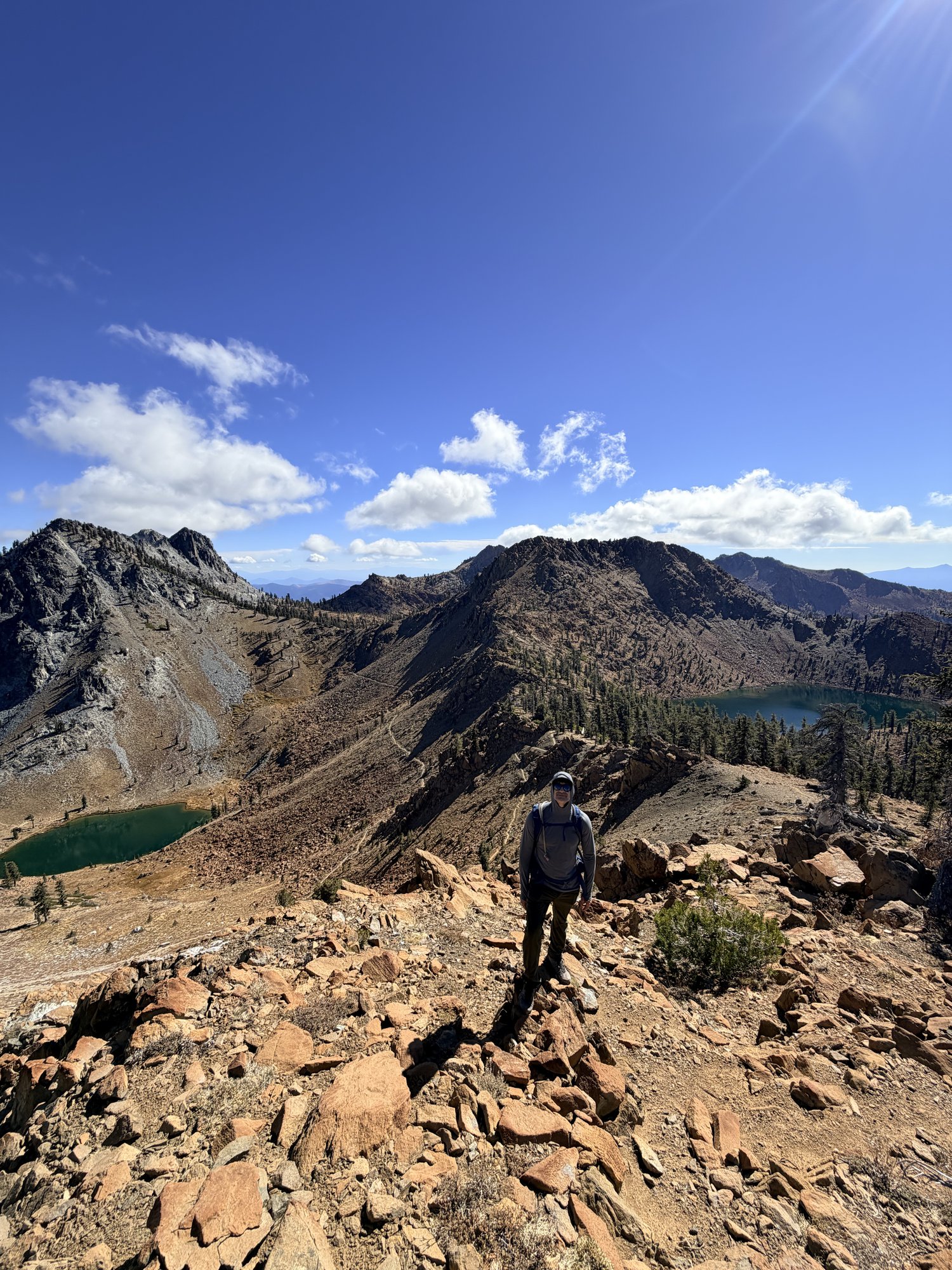
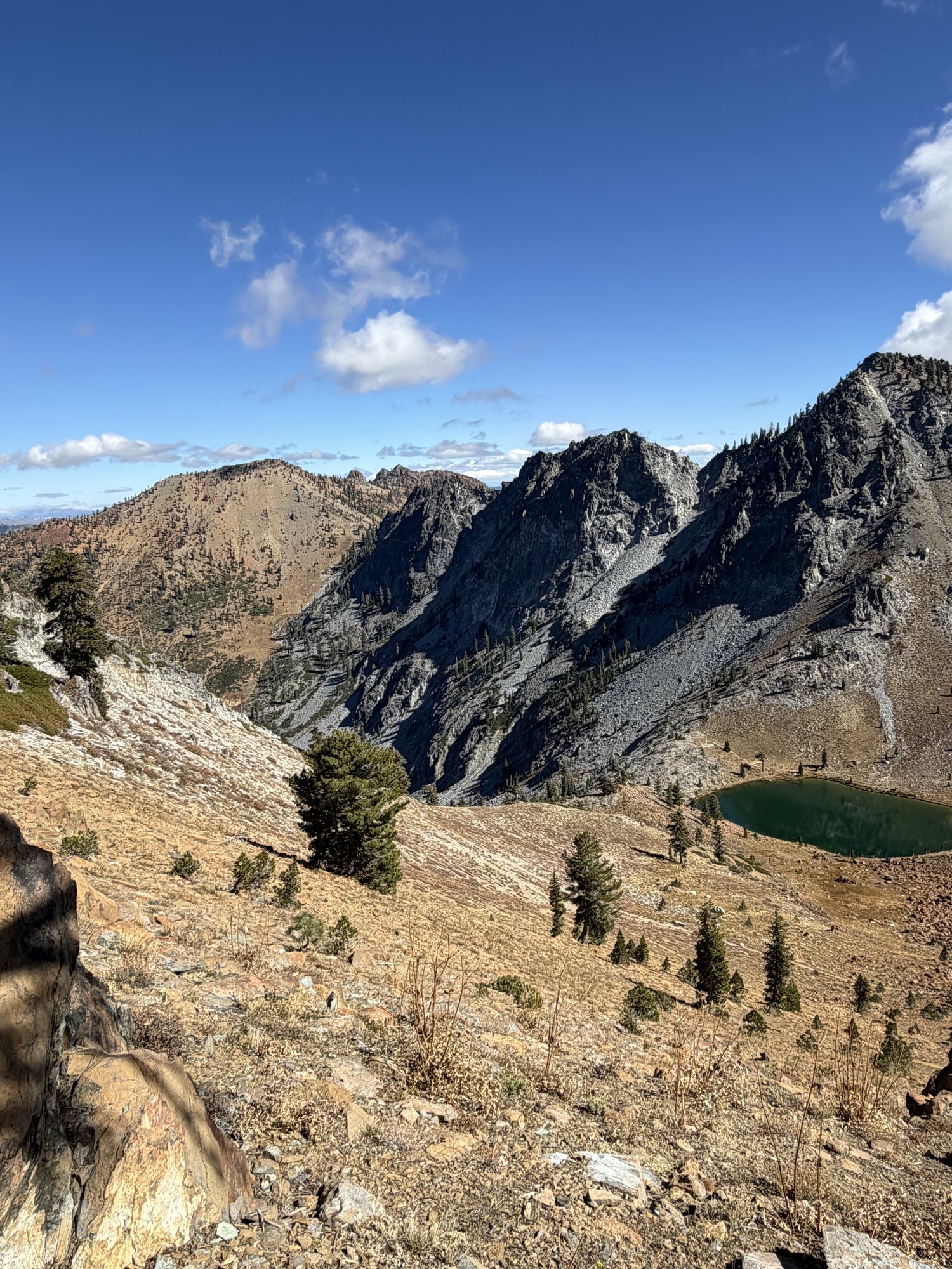
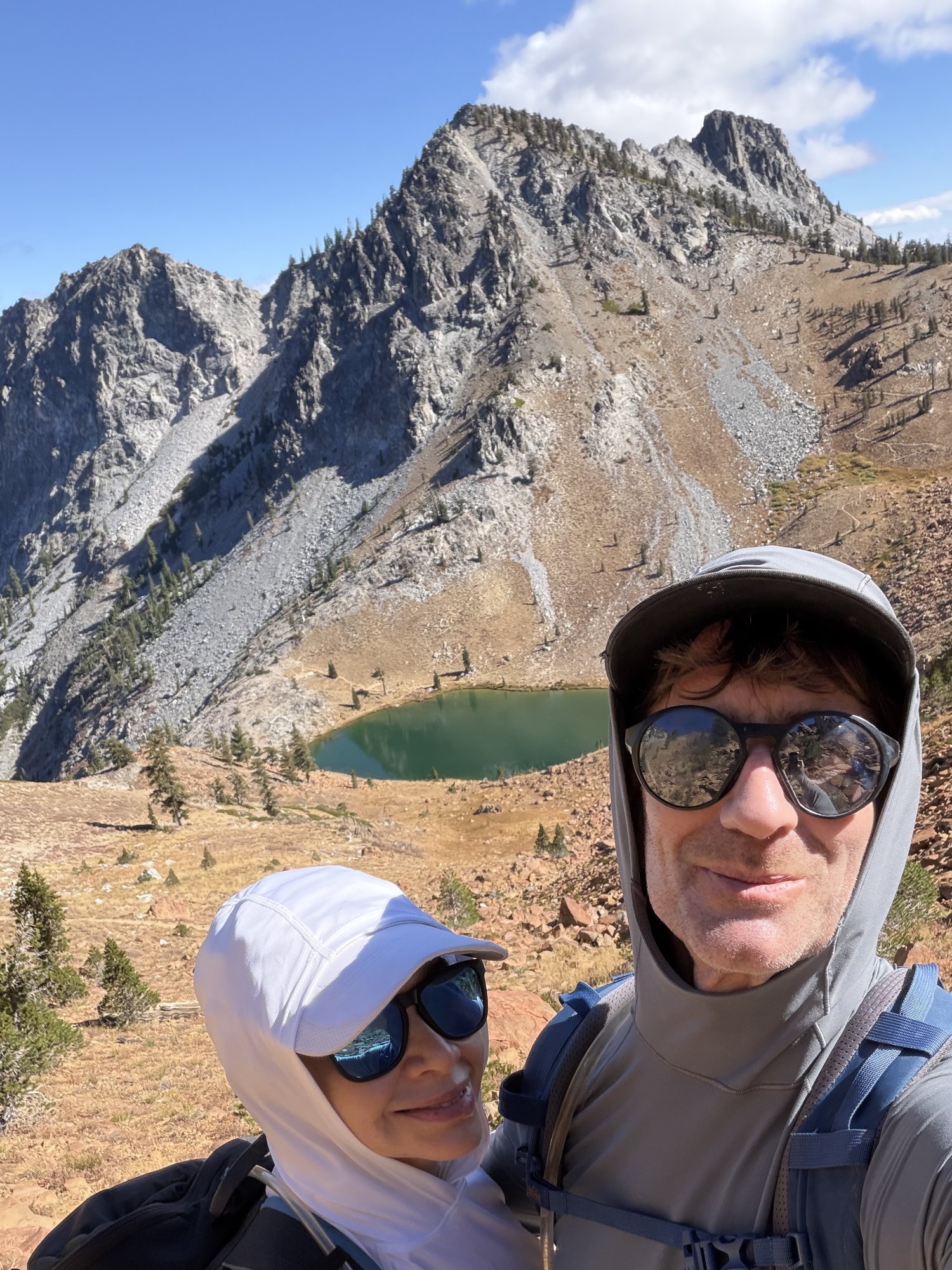
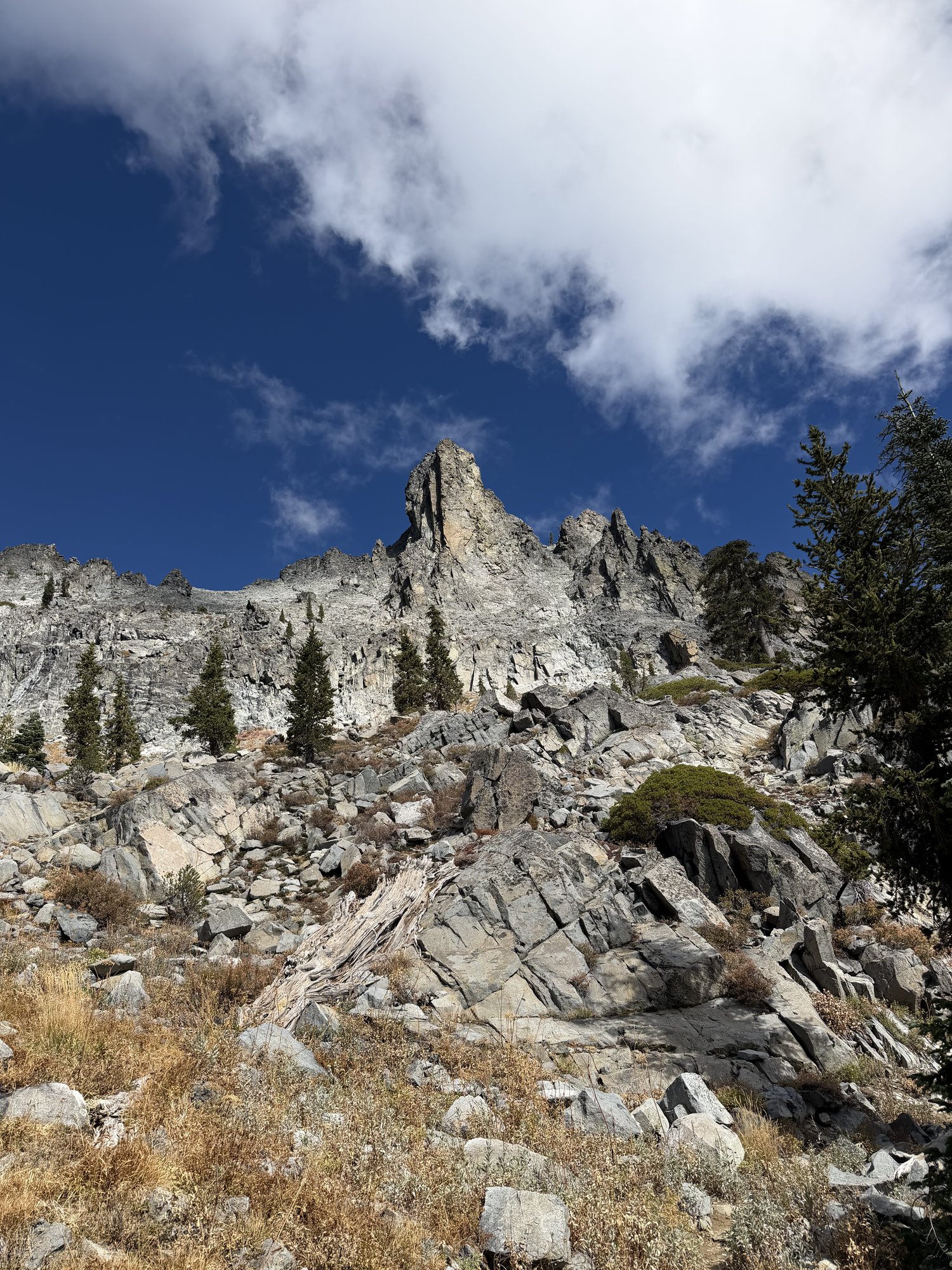
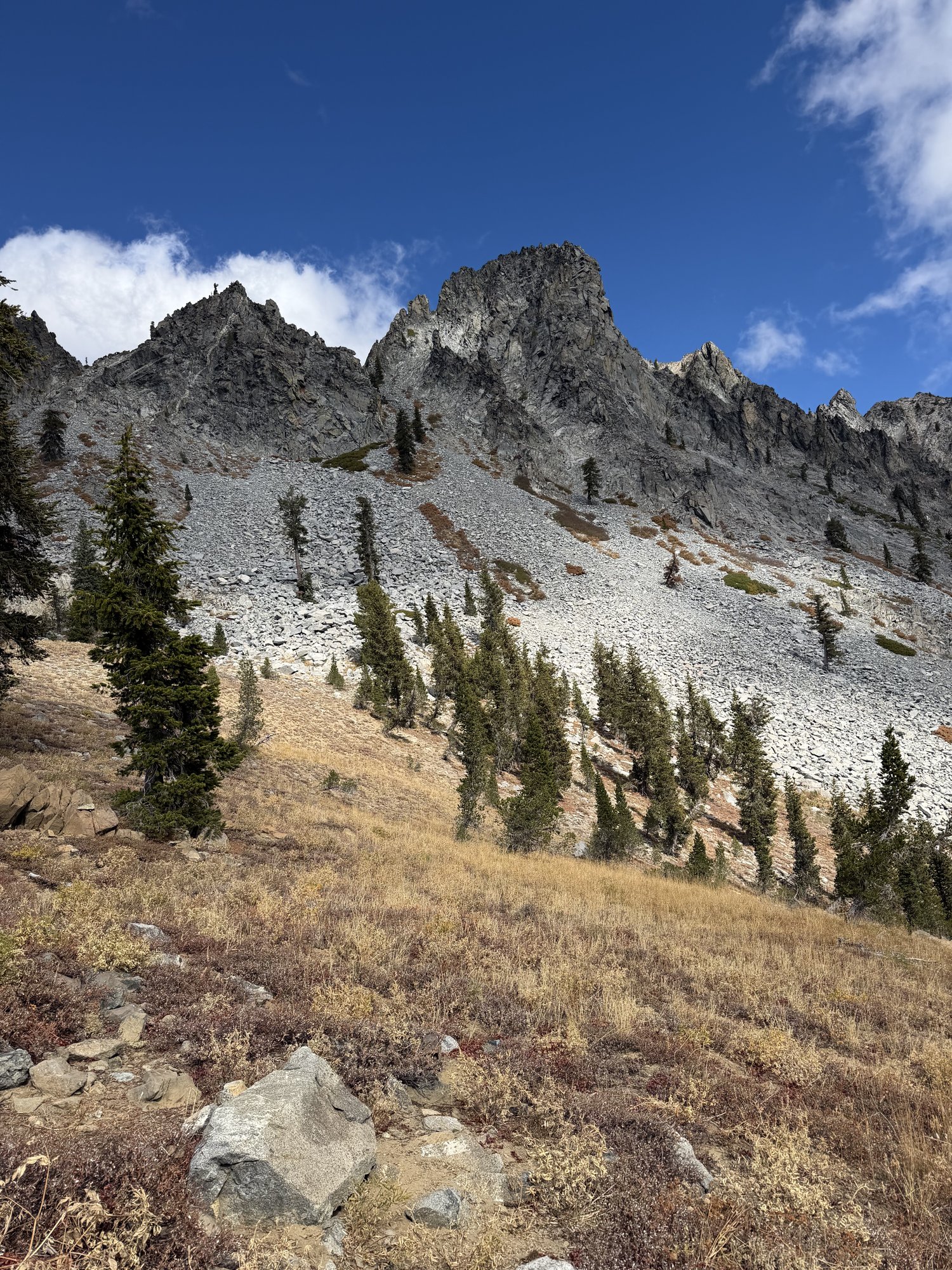
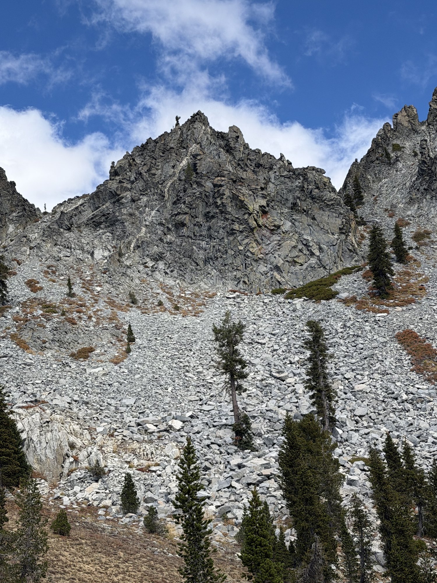
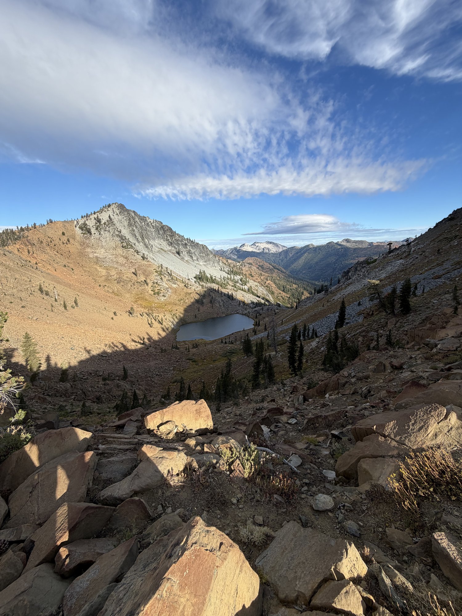
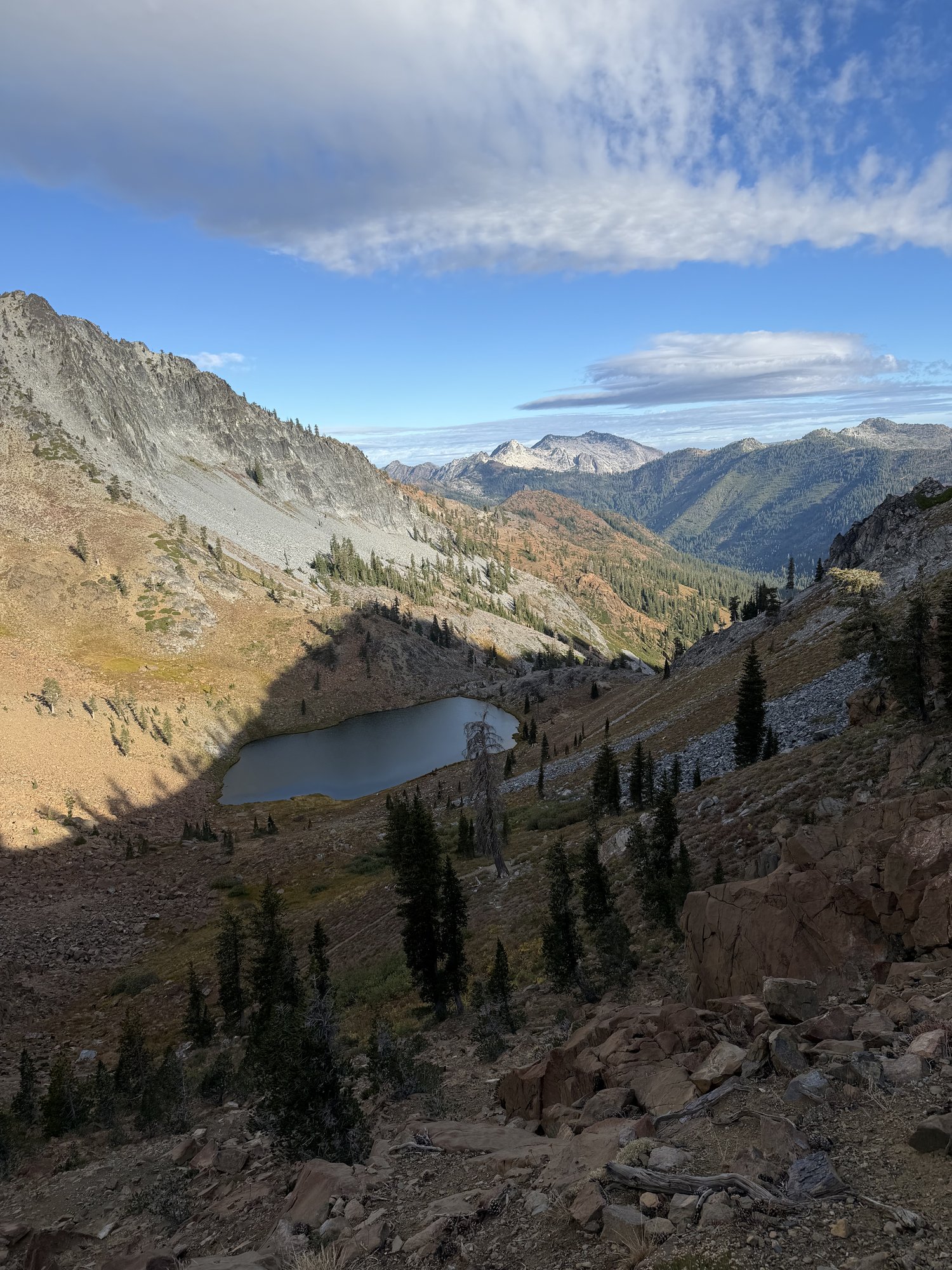
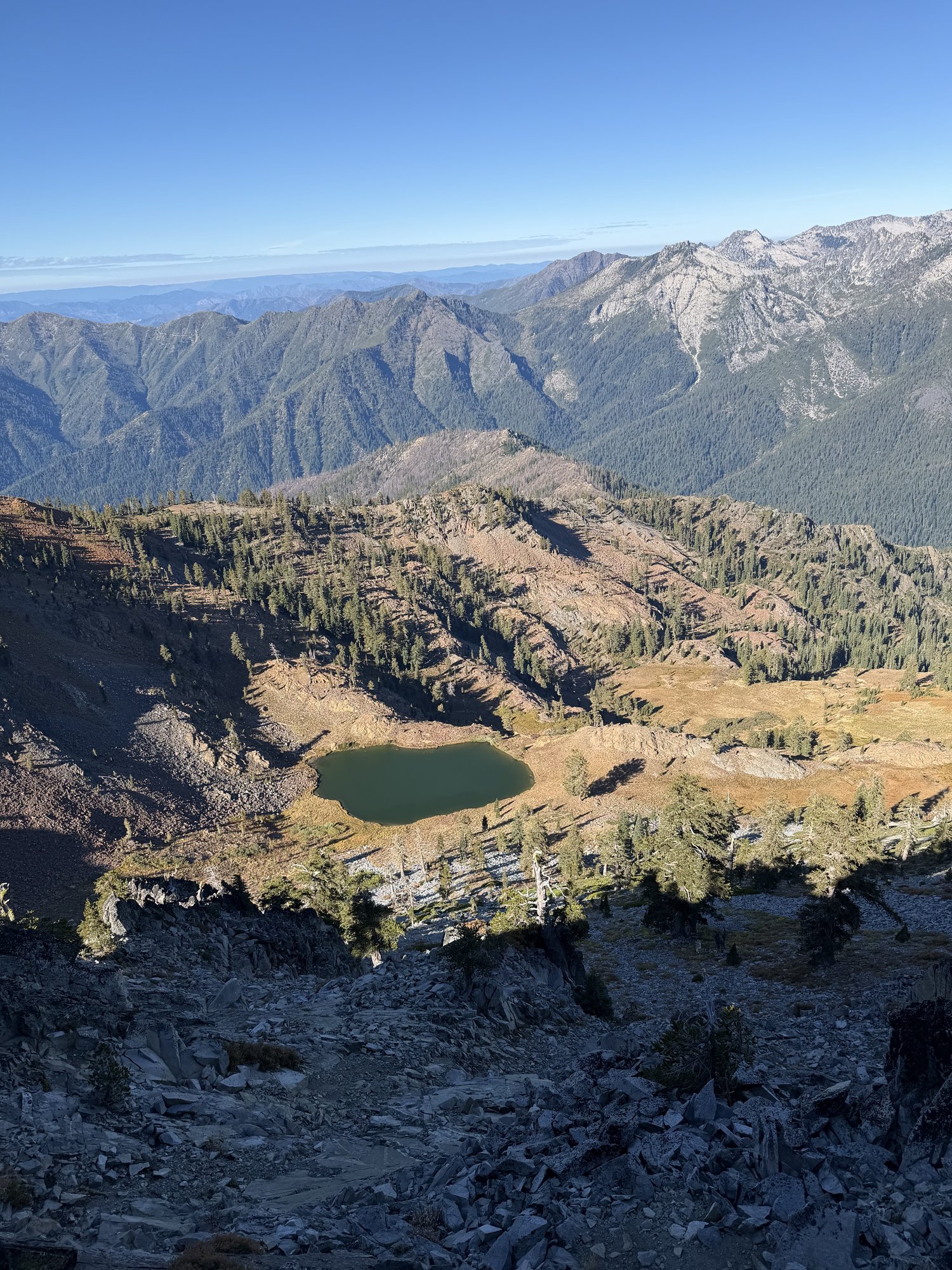
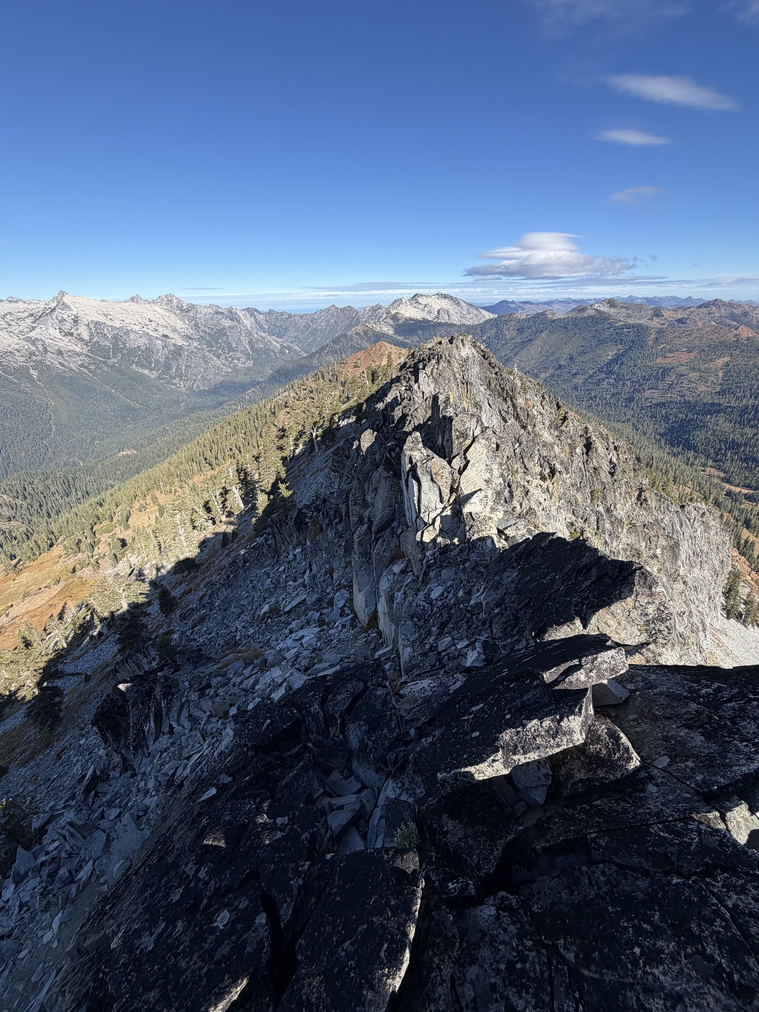
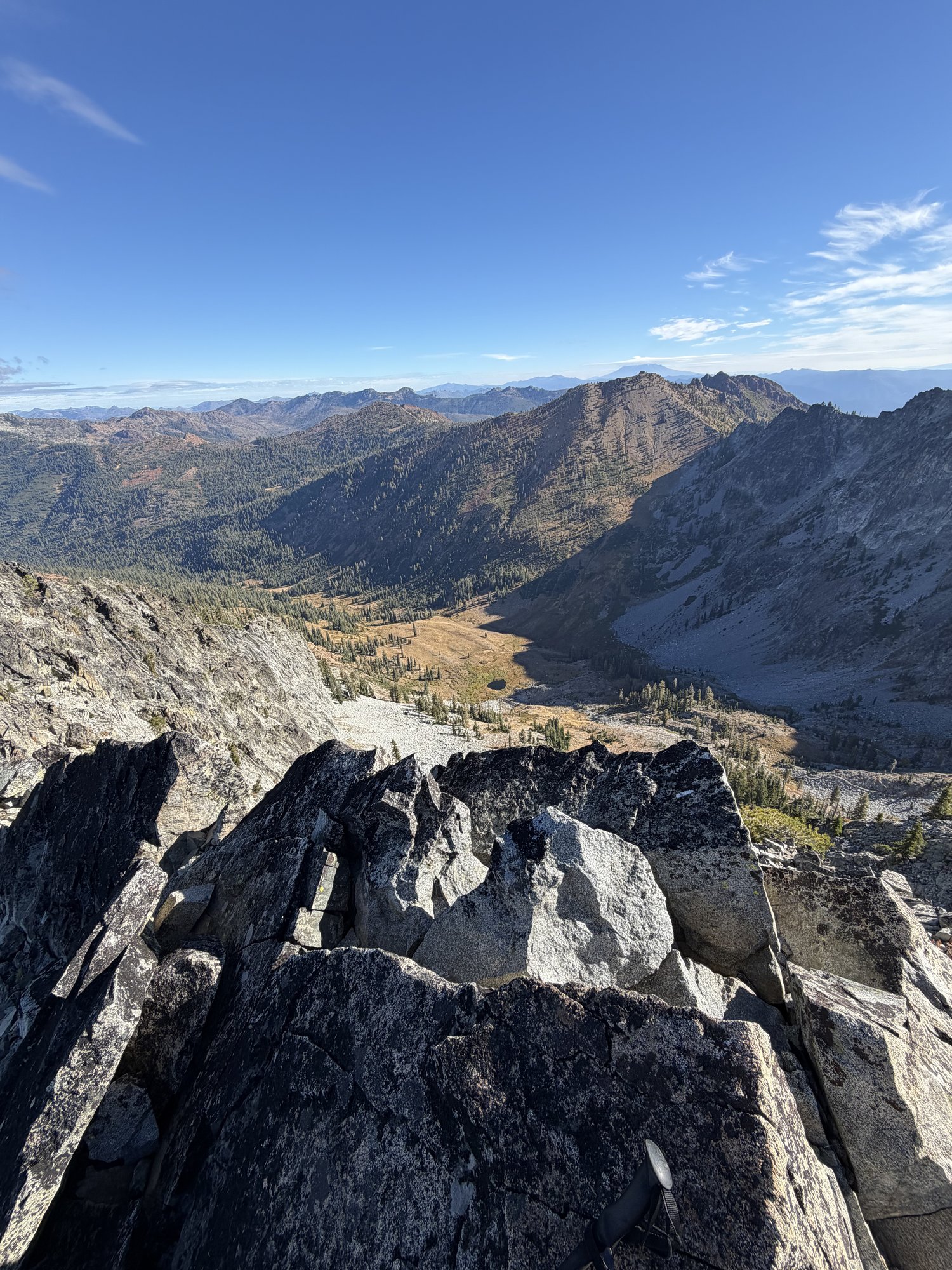
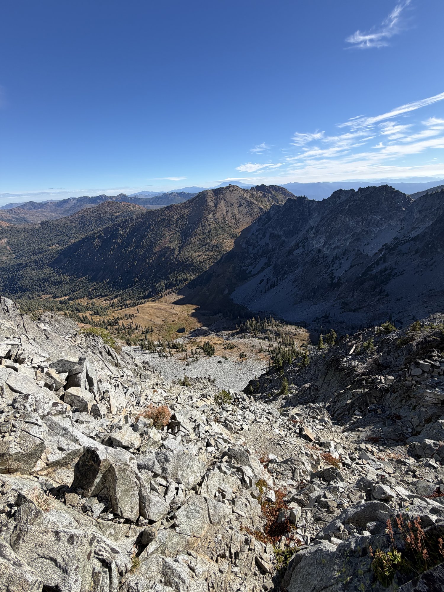
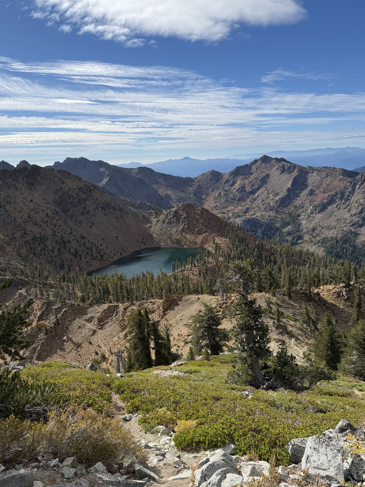
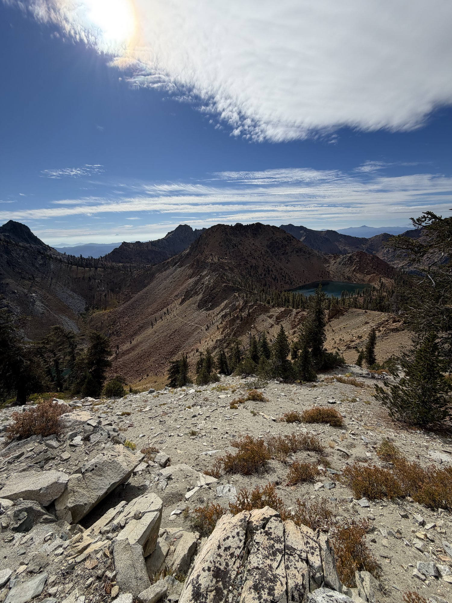
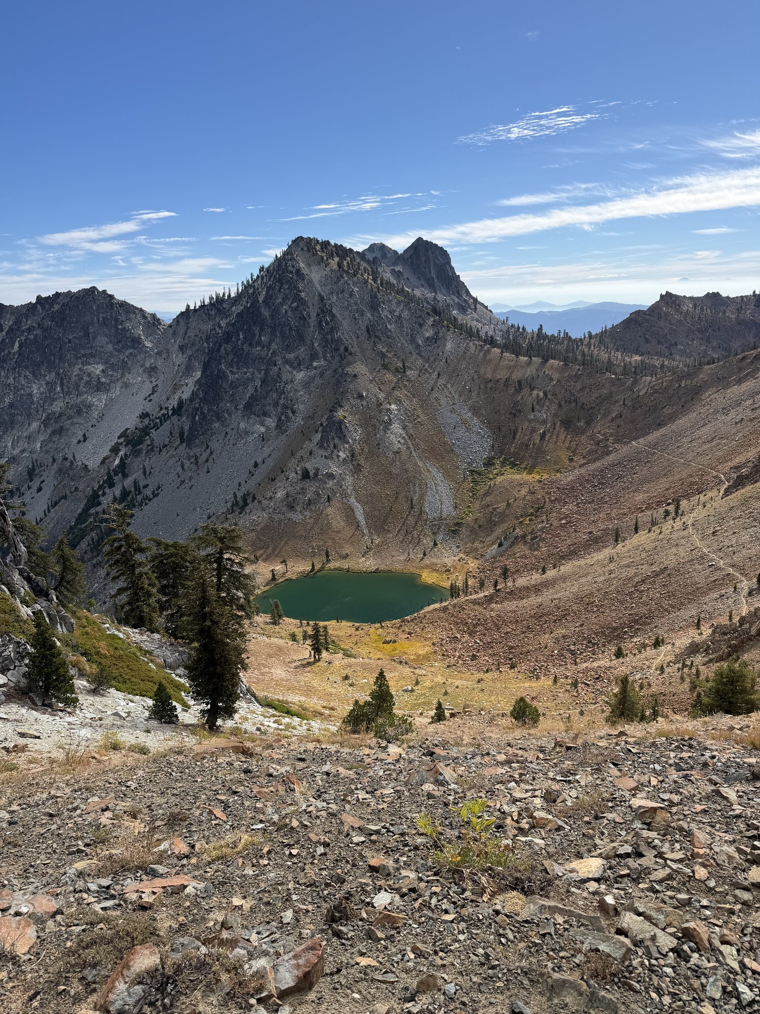
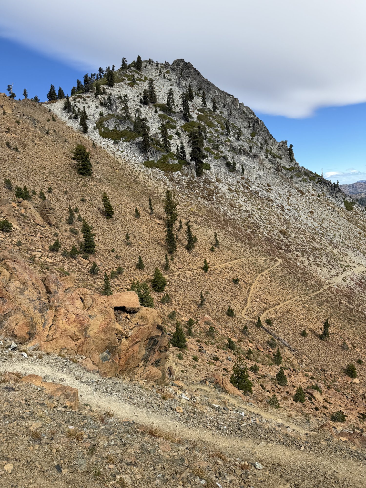
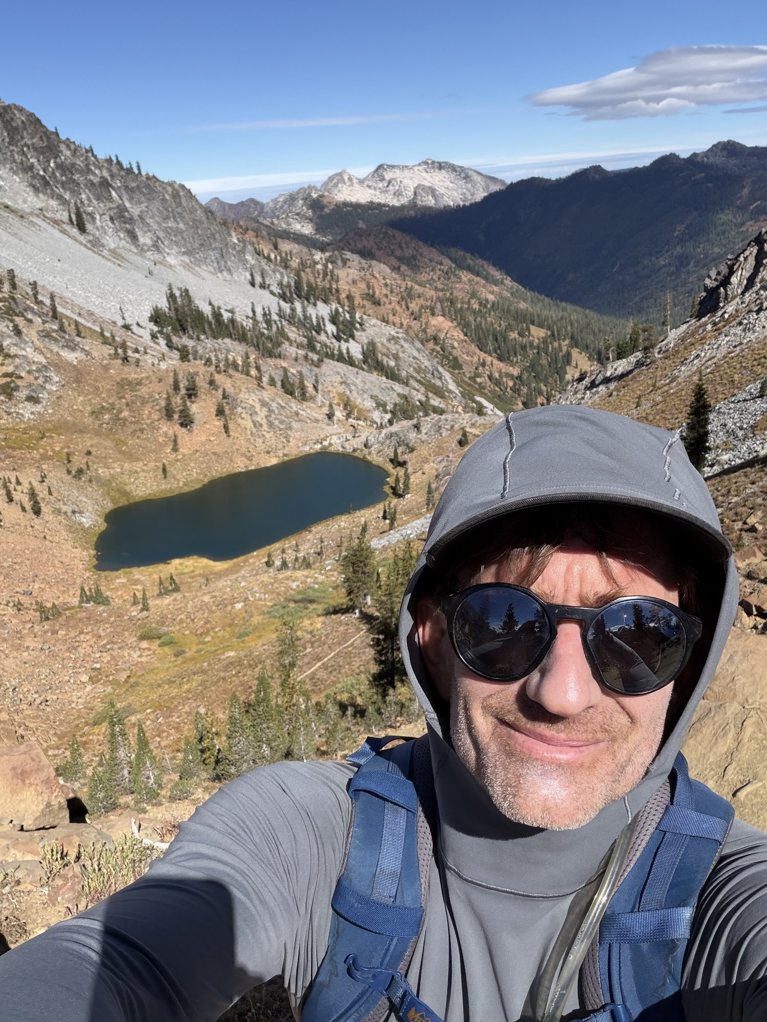
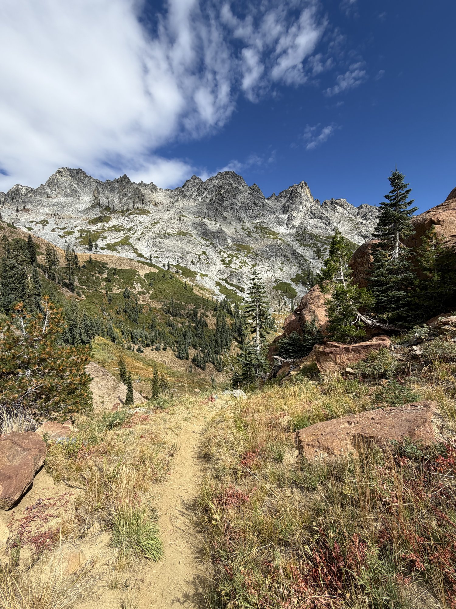
What stood out most this time was the color of the rock itself along the upper ridge — a genuinely striking rust-red stone scattered among the gray granite, especially right around the summit pinnacle, with the Four Lakes glinting green and turquoise in the basins below on both sides.
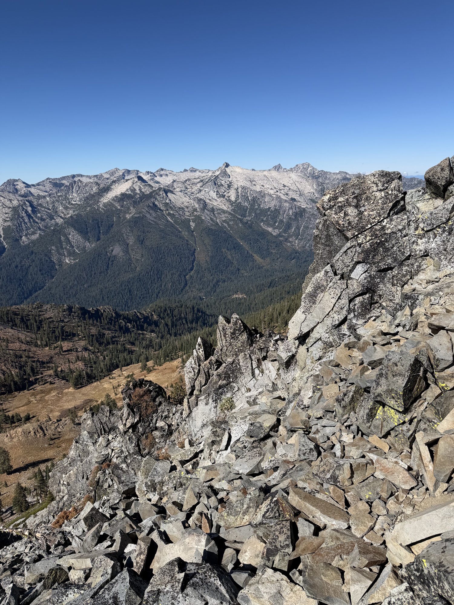
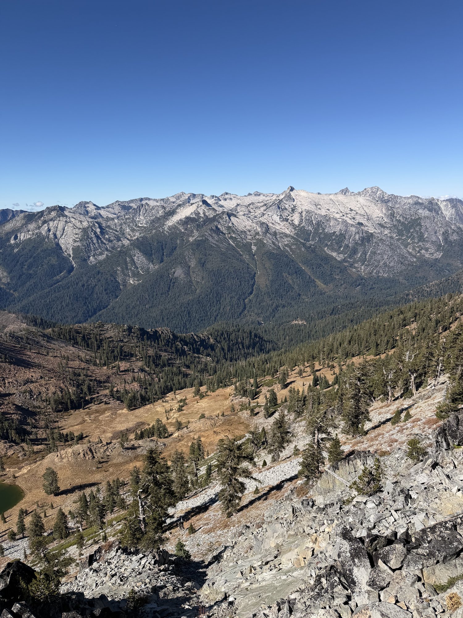
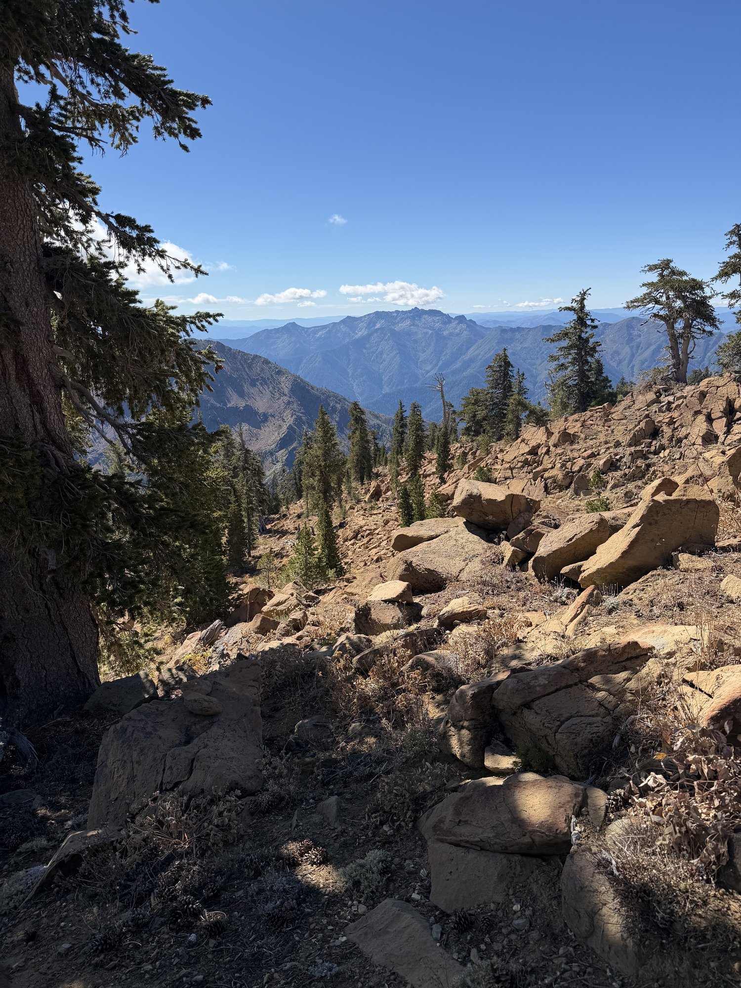
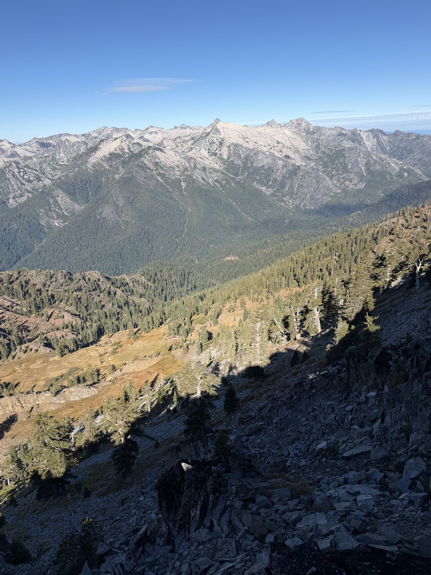
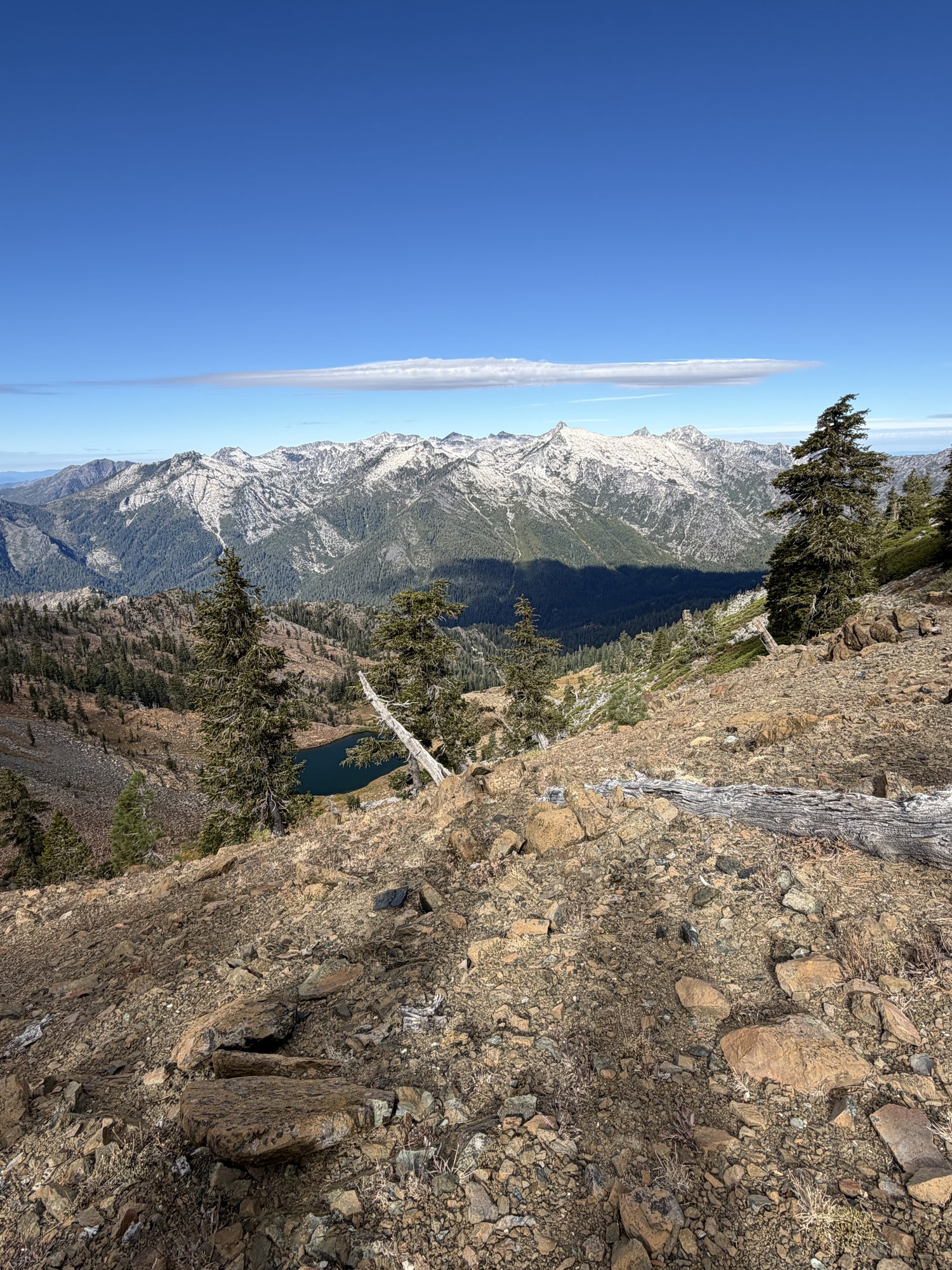
From up on the ridge, the view opens up toward the rest of the Trinity Alps across the canyon — the main granite crest standing pale and jagged in the distance, a nice reminder of just how much high country this range actually holds beyond the one peak underfoot.
A wonderful, pretty hike the second time through — same loop, same long day, but the red rock and the company made it feel like a completely different adventure.
First Ascent — September 12, 2026
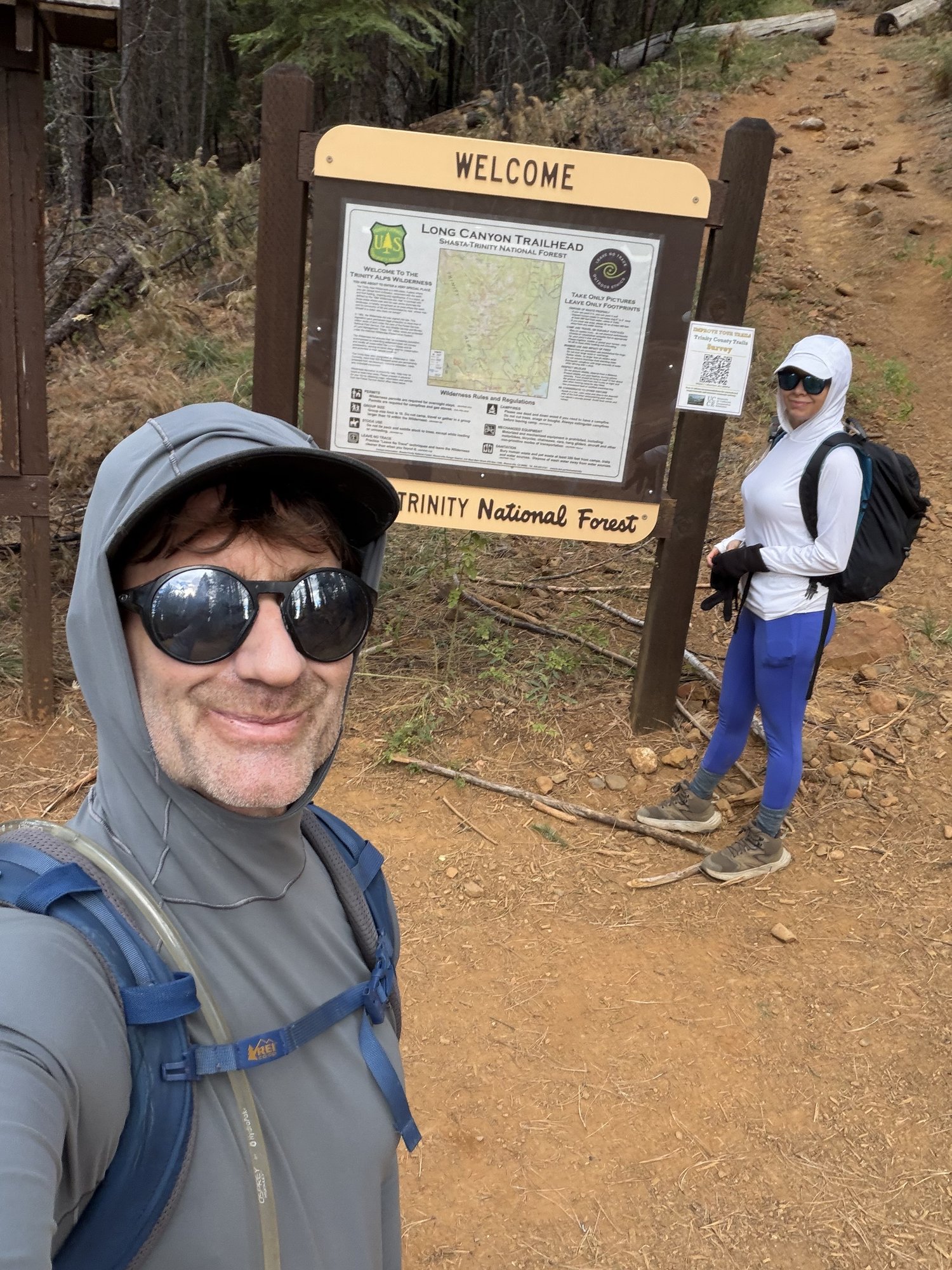
First time up Siligo Peak, found through a mix of the AllTrails page for the Four Lakes and Siligo Peak Loop and Bob Burd's old trip report and GPX for the same route. Out the door early, moving by around 6:00am, since the trailhead sits well off SR-3 near Trinity Lake and this was shaping up to be a long day either way.
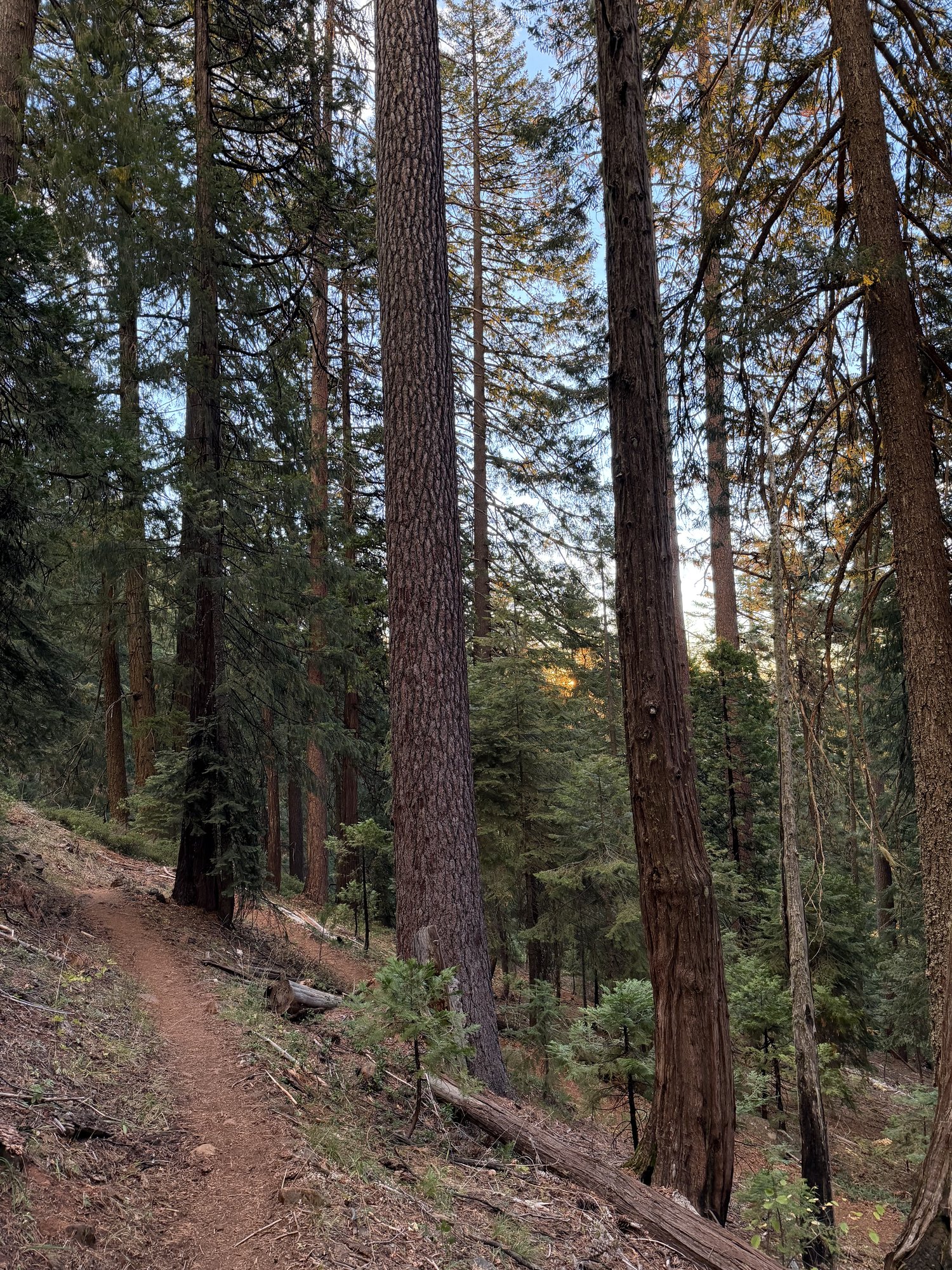
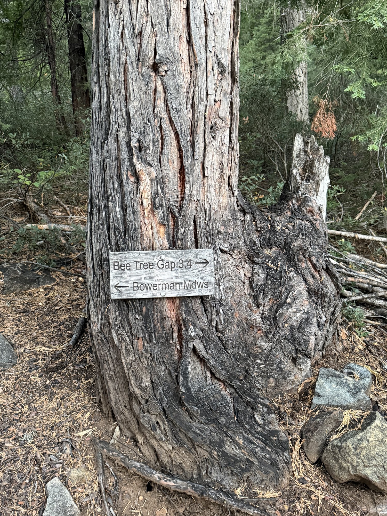
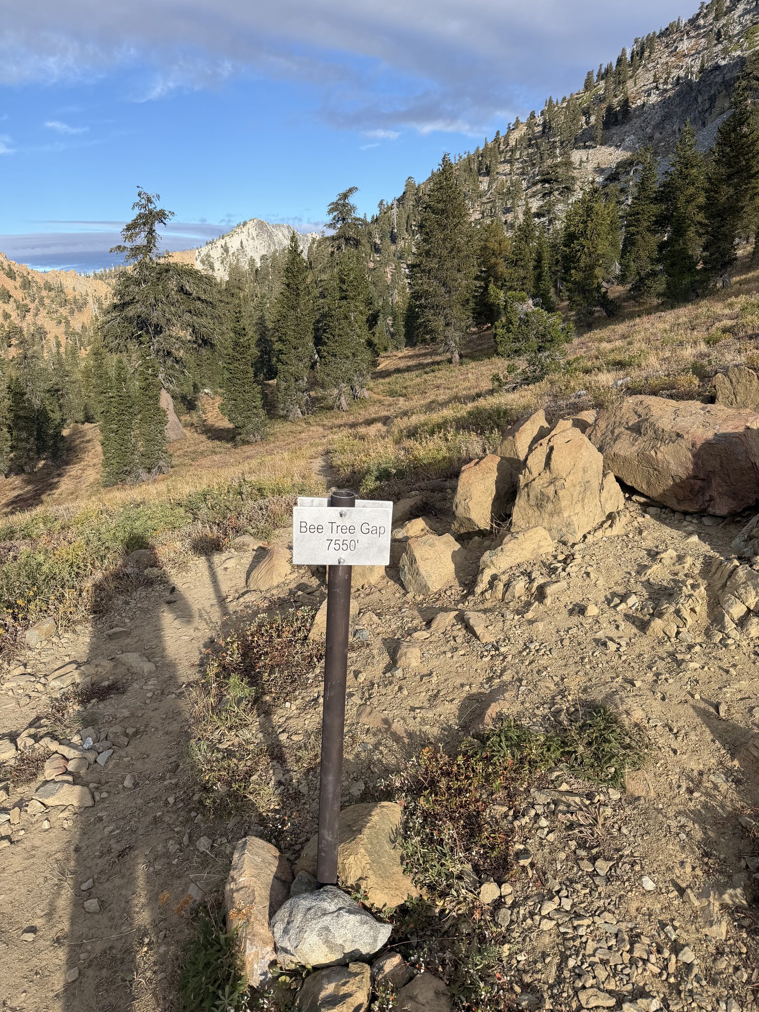
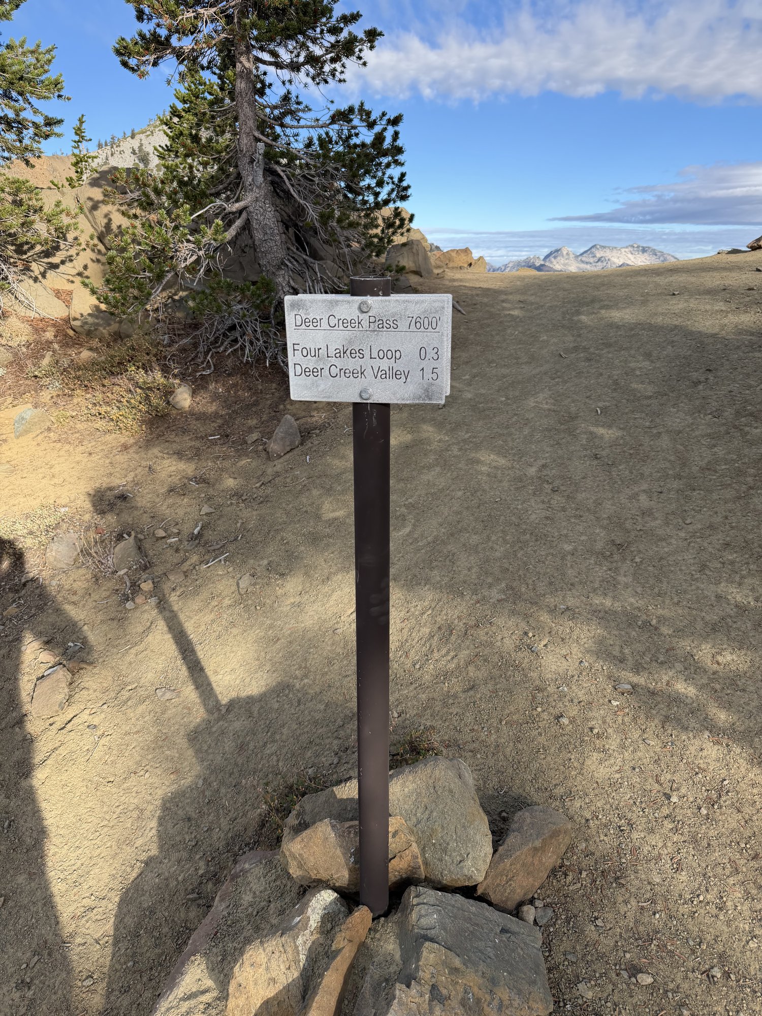
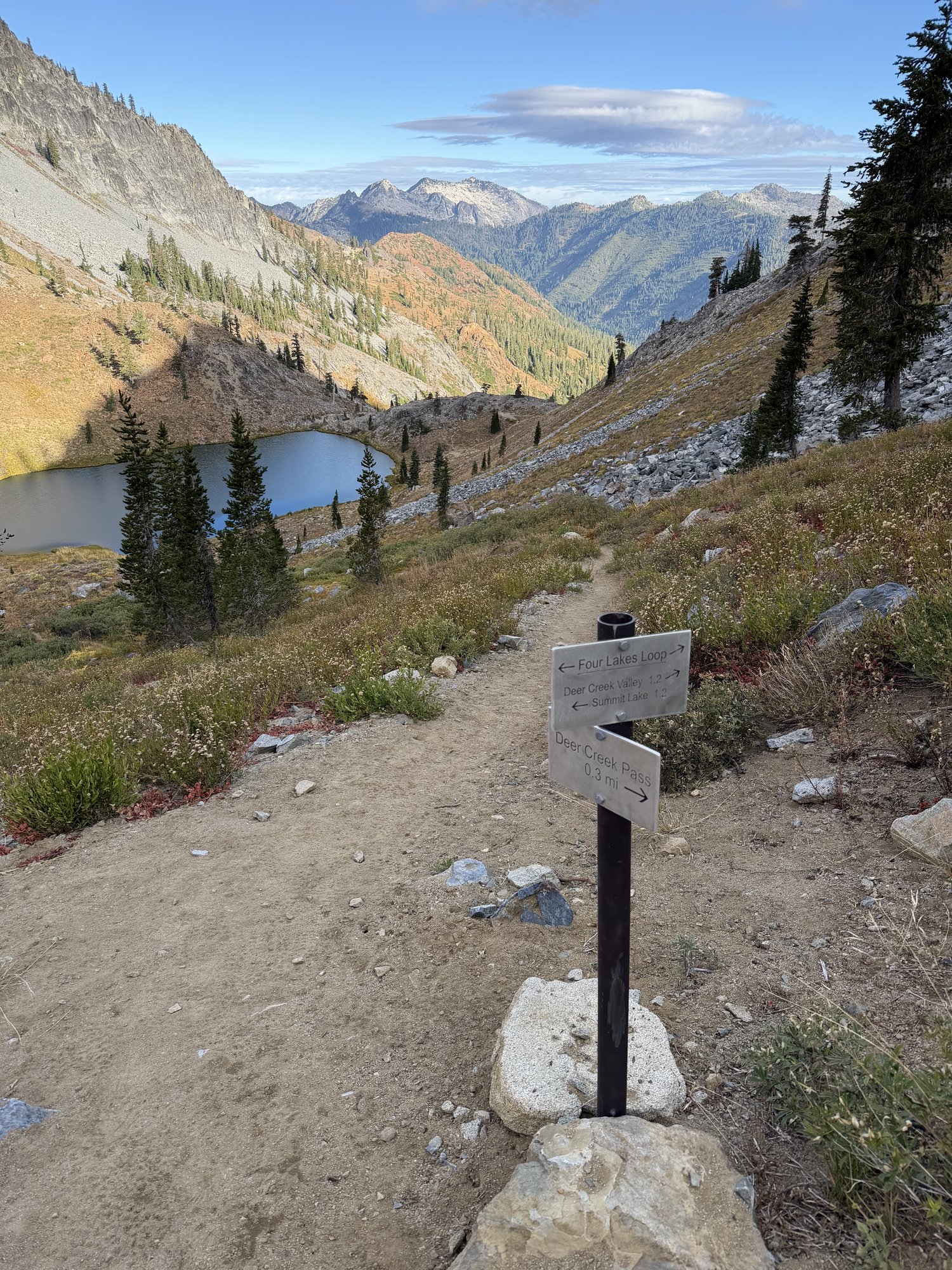
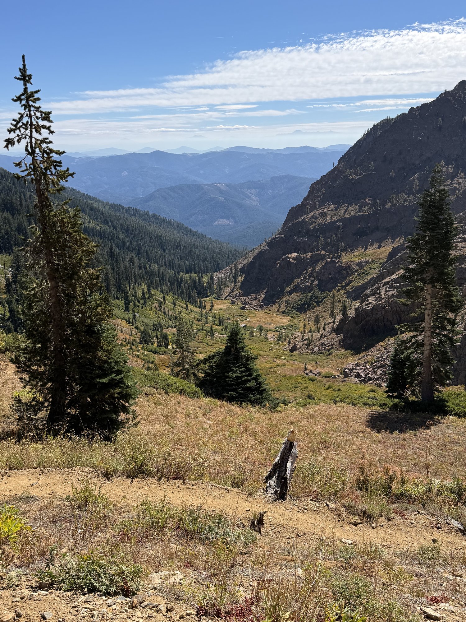
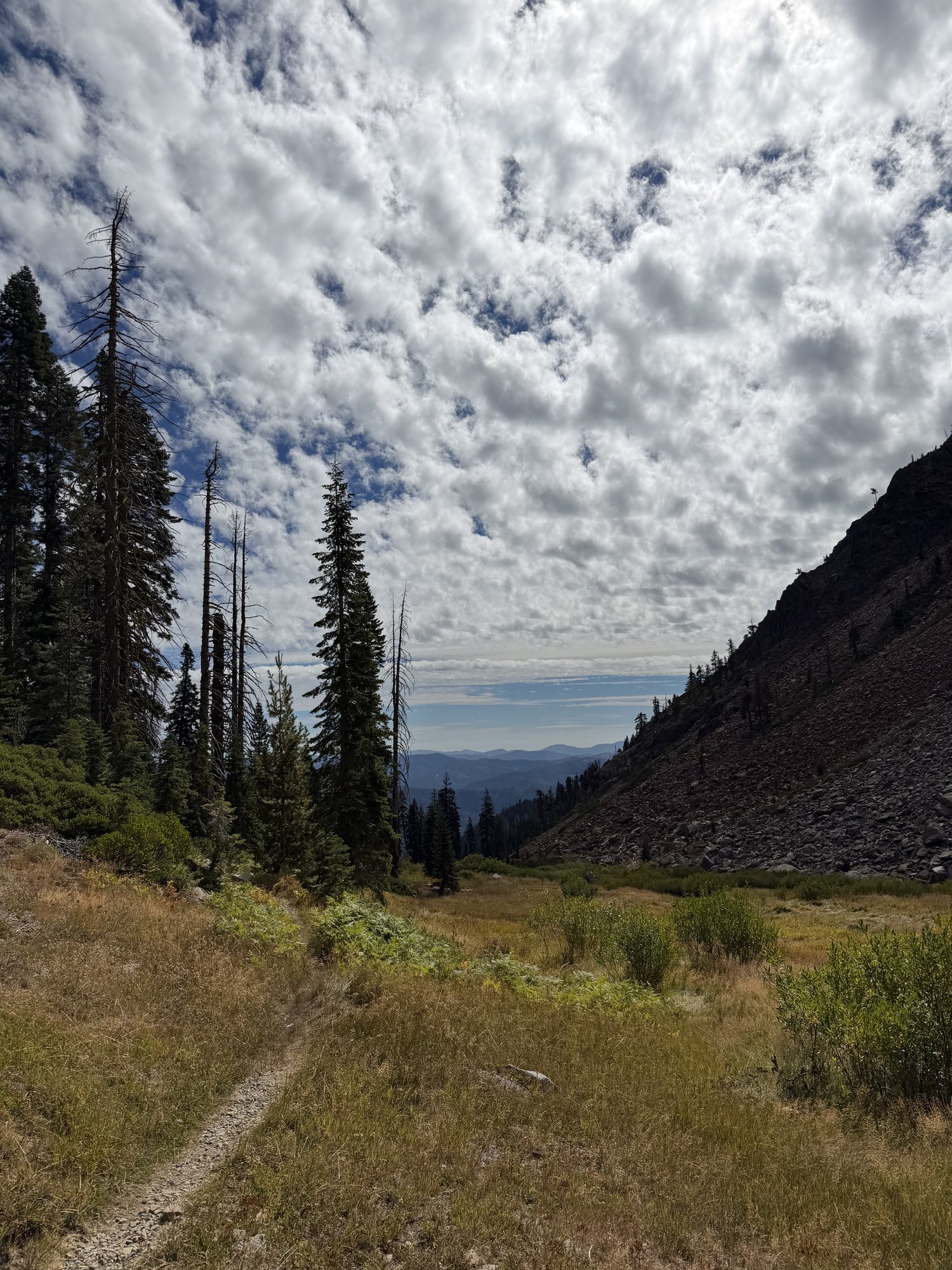
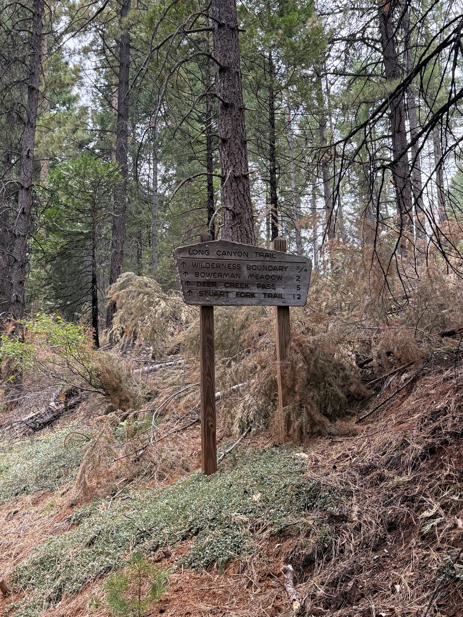
It genuinely feels like four separate hikes stitched into one. The first stretch climbs through thick, quiet forest along Long Canyon with no real views, following the creek up toward Bee Tree Gap. From there, the trail opens up and traverses west to Deer Creek Pass — and this is really where the hike starts to be something else entirely.
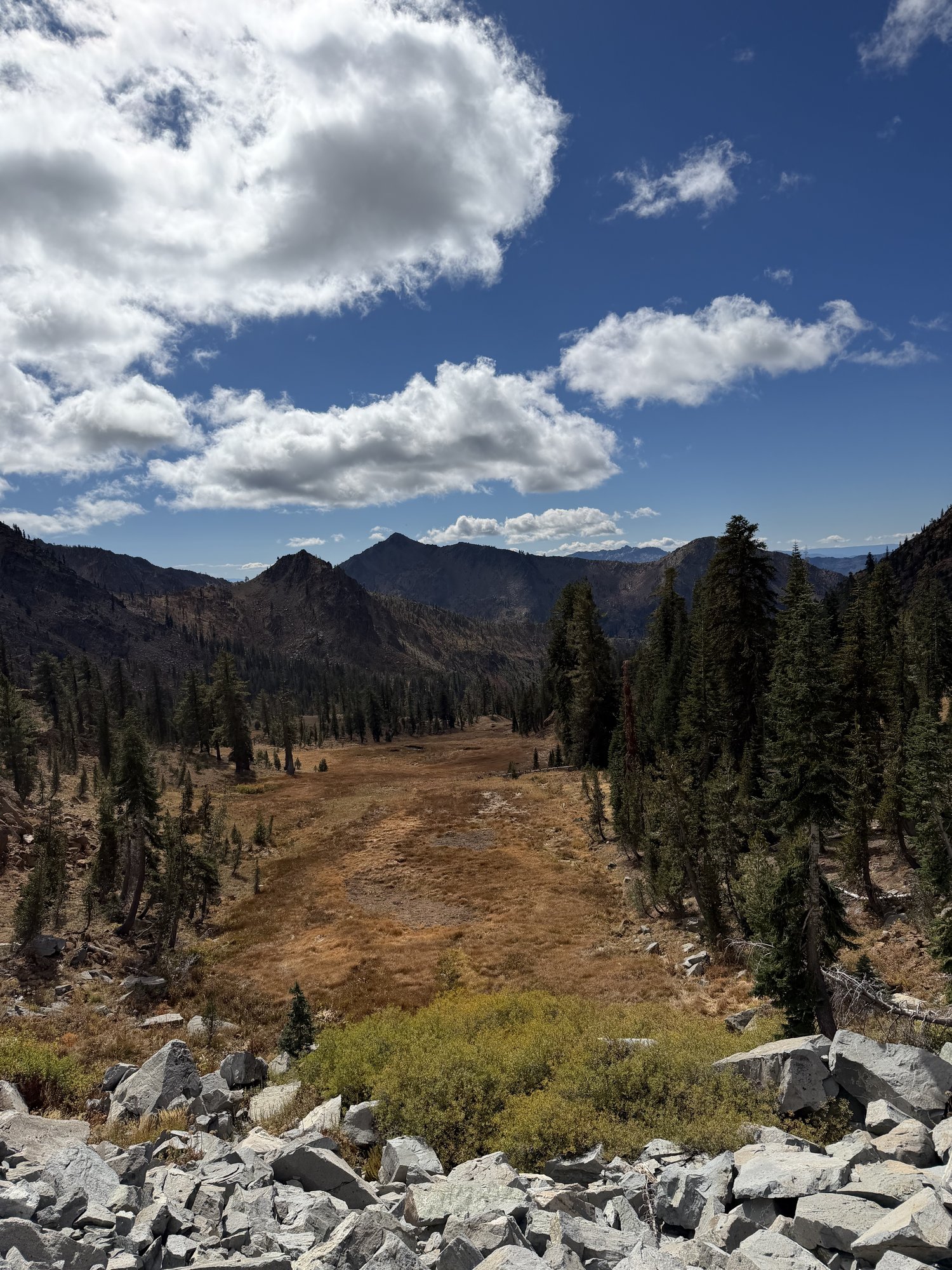
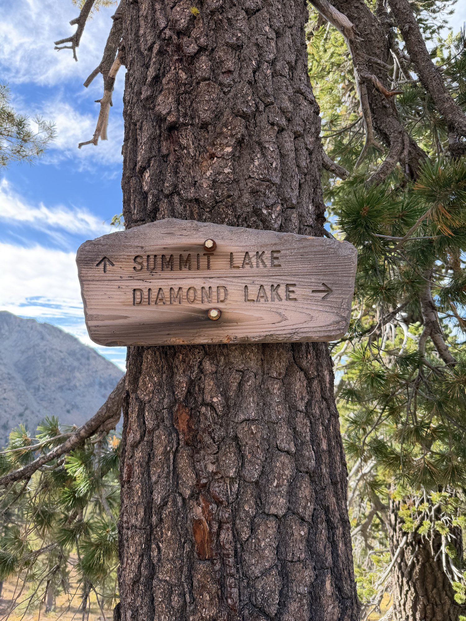
The colors past Deer Creek Pass were amazing — golden meadows, red-tinted talus, and the first of the four glacial lakes the loop is named for, tucked into a cirque directly below the pass. From there the trail runs a long, exposed ridge past Diamond Lake, Summit Lake, and a couple more unnamed tarns, with the jagged granite crest of the Trinity Alps rising across the canyon the entire way.
The true summit push turned out to be the easiest part of the whole day — a short use trail breaks off the main loop and climbs the last few hundred feet to the top of Siligo itself, elevation 8,169 feet, with essentially none of the difficulty the approach might suggest. Photos really do speak for themselves up there. All told: 14.49 miles, 4,800 feet of gain, 6:10:23 of moving time and 6:42:24 total — a long day, but genuinely one of the most beautiful hikes anywhere in the Trinity Alps.
Comments