Top of the World
Second Ascent — April 25, 2026 — Most Recent
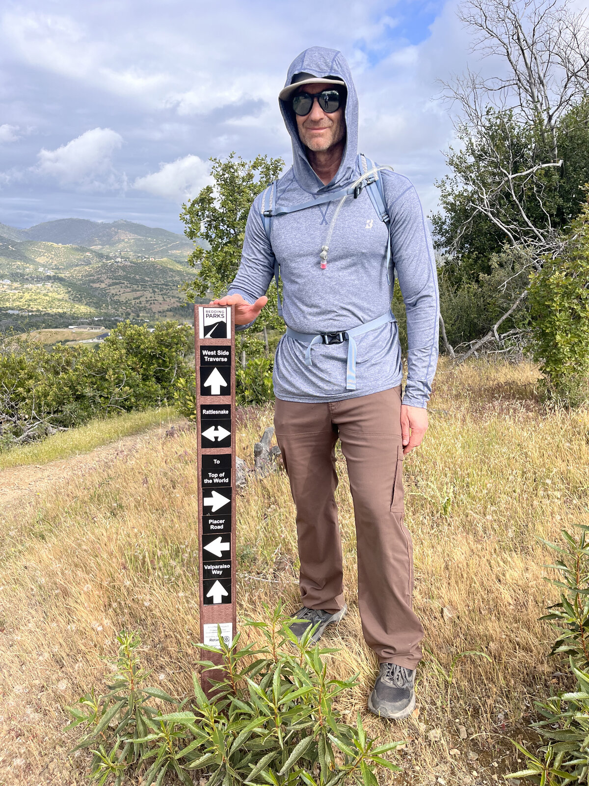
Back up Top of the World, more than two years after the first trip — this hike gets its name from the open, elevated summit, and while it's not the biggest view in the area, standing up there with sky all around still delivers that genuine above-it-all feeling every time. The trailhead post at Lower Springs, pointing off in half a dozen directions along the West Side Trails network, was right where it's always been.
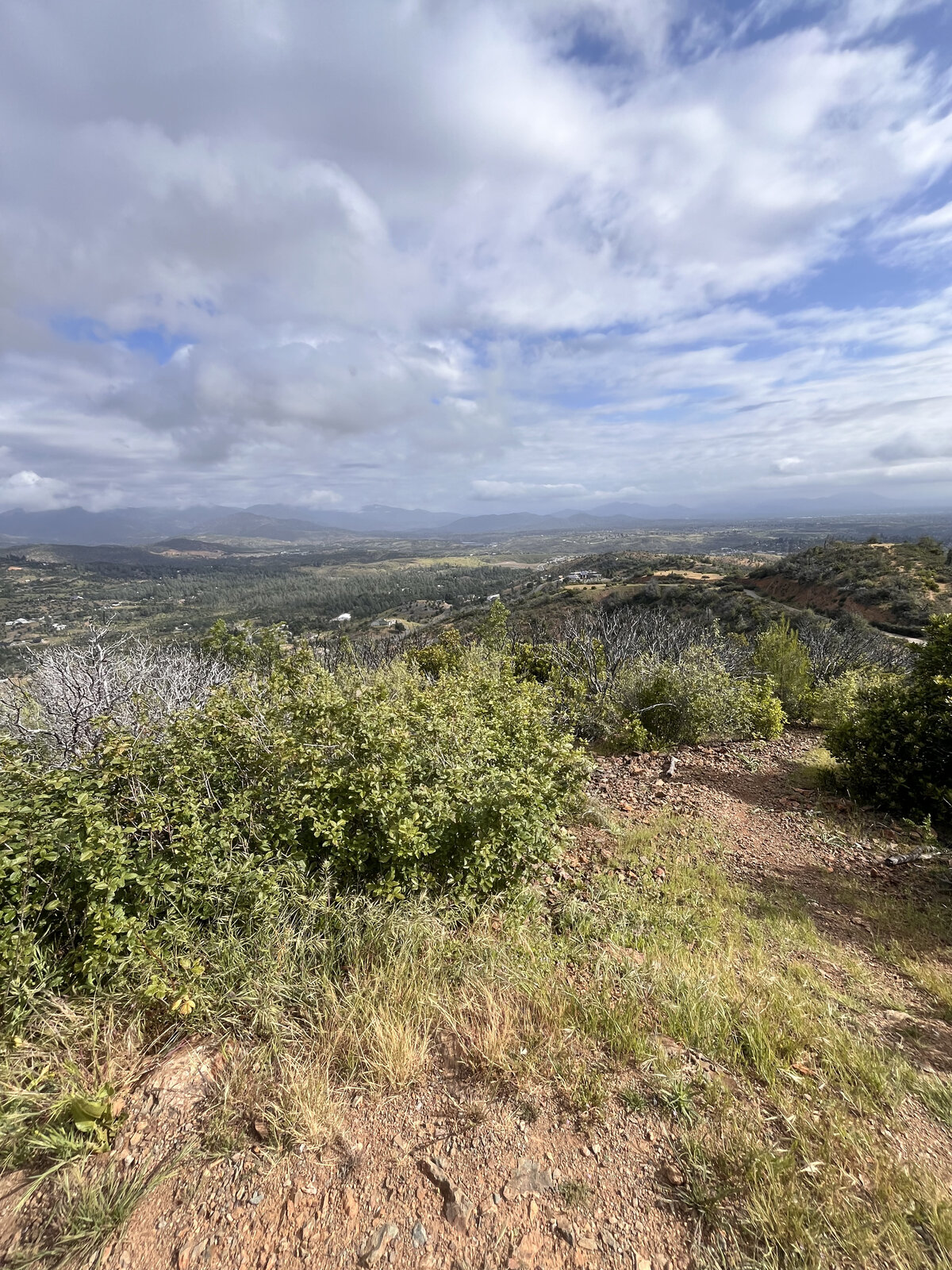
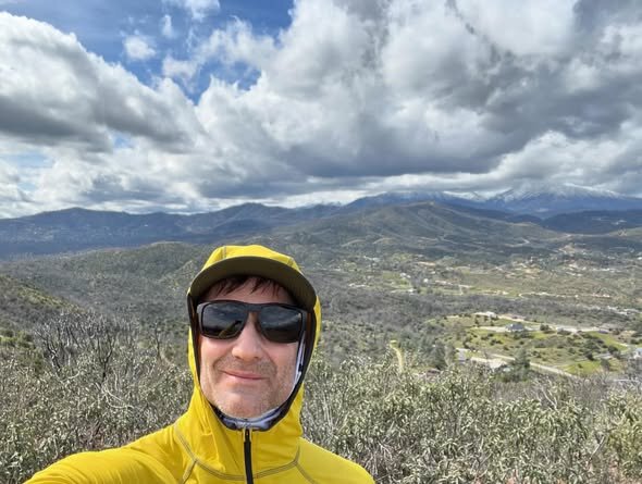
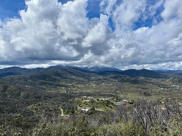
The climb through the chaparral and oak woodland had the trail's usual rhythm — steady enough to feel like a real effort, short enough to be over before it got old. Partway up, the trees opened onto a wide view back over the Redding valley, a mix of sun and passing cloud cover turning the hillsides light and dark in patches.
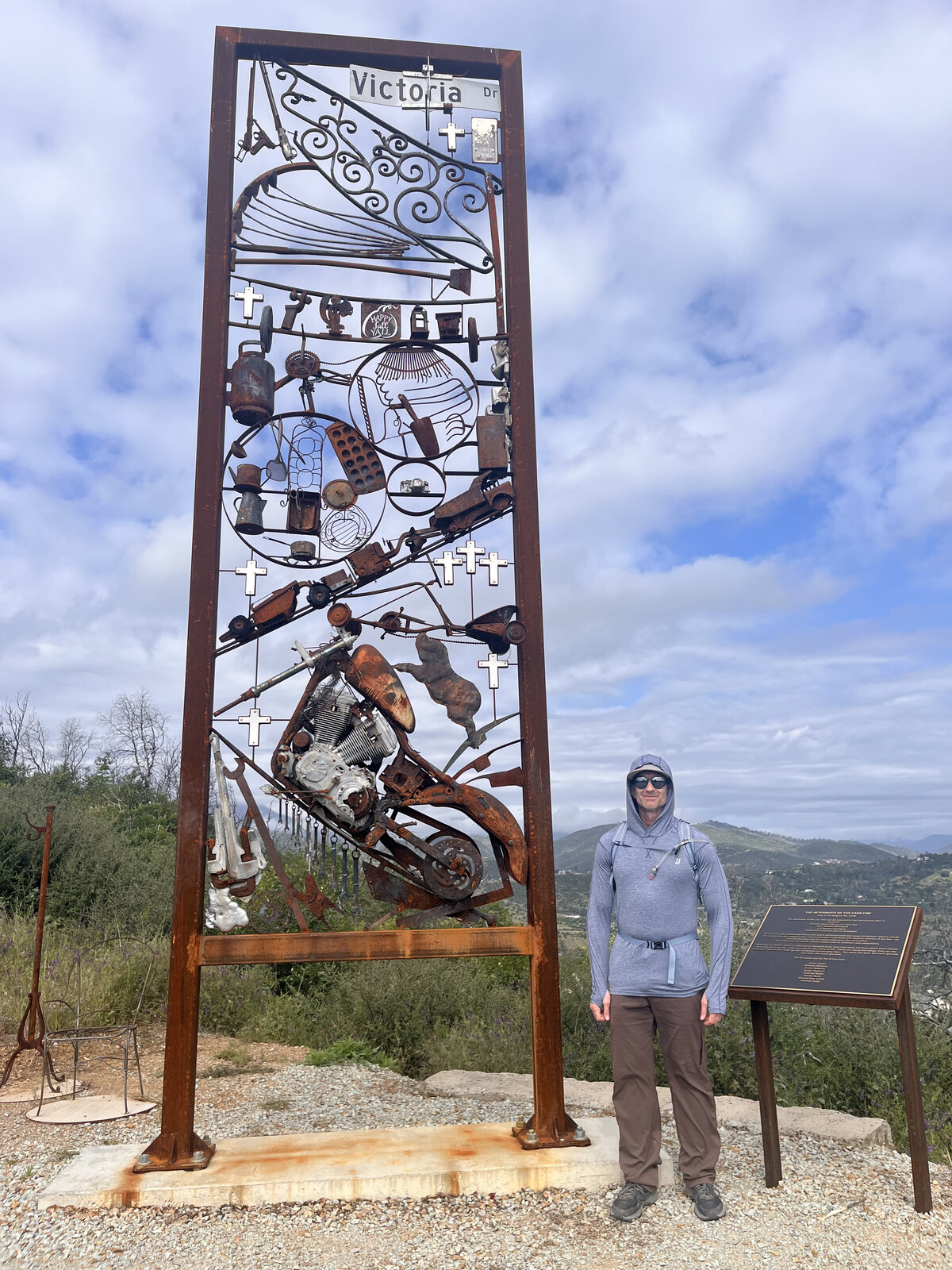
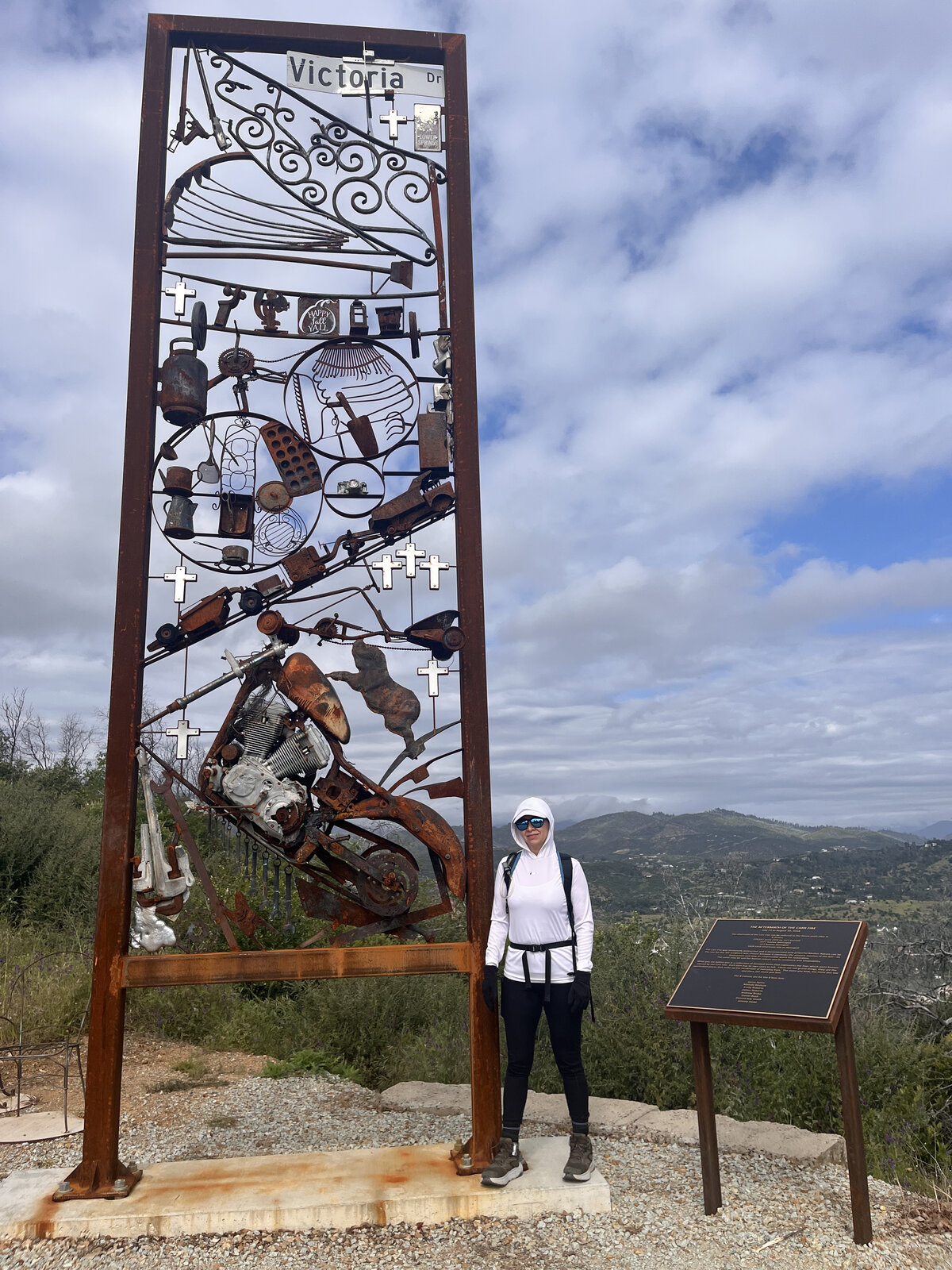
One of the highlights along the way is a tall ironwork sculpture trailside, titled "Victoria" — a dense collage of welded tools, a motorcycle, and small crosses worked into the metal, with a plaque alongside it. It made for a good stopping point and photo op before the final push to the top.
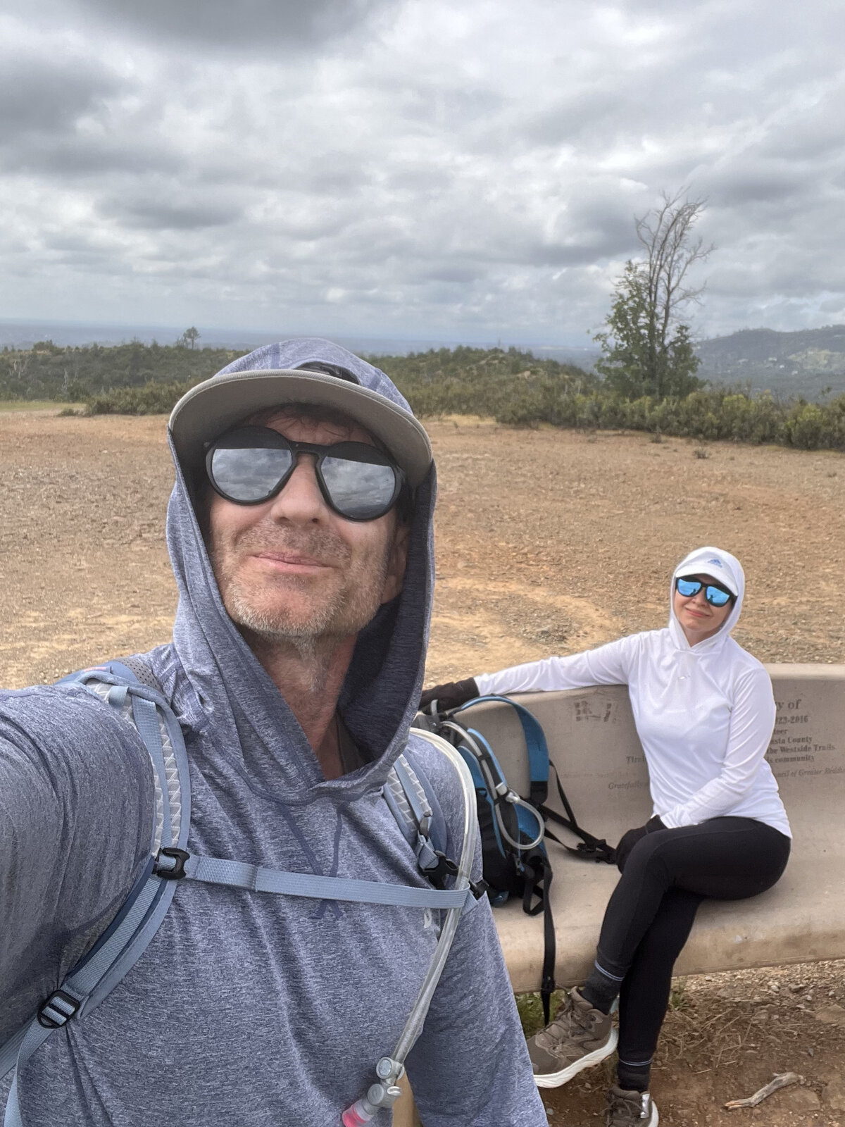
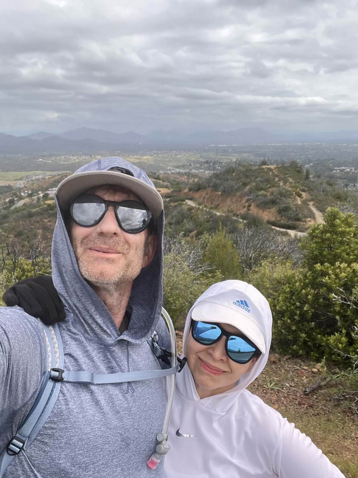
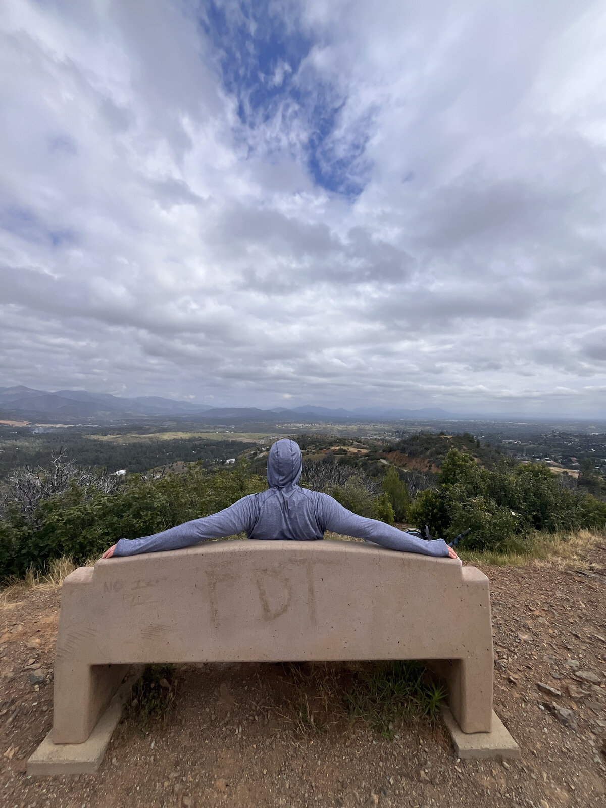
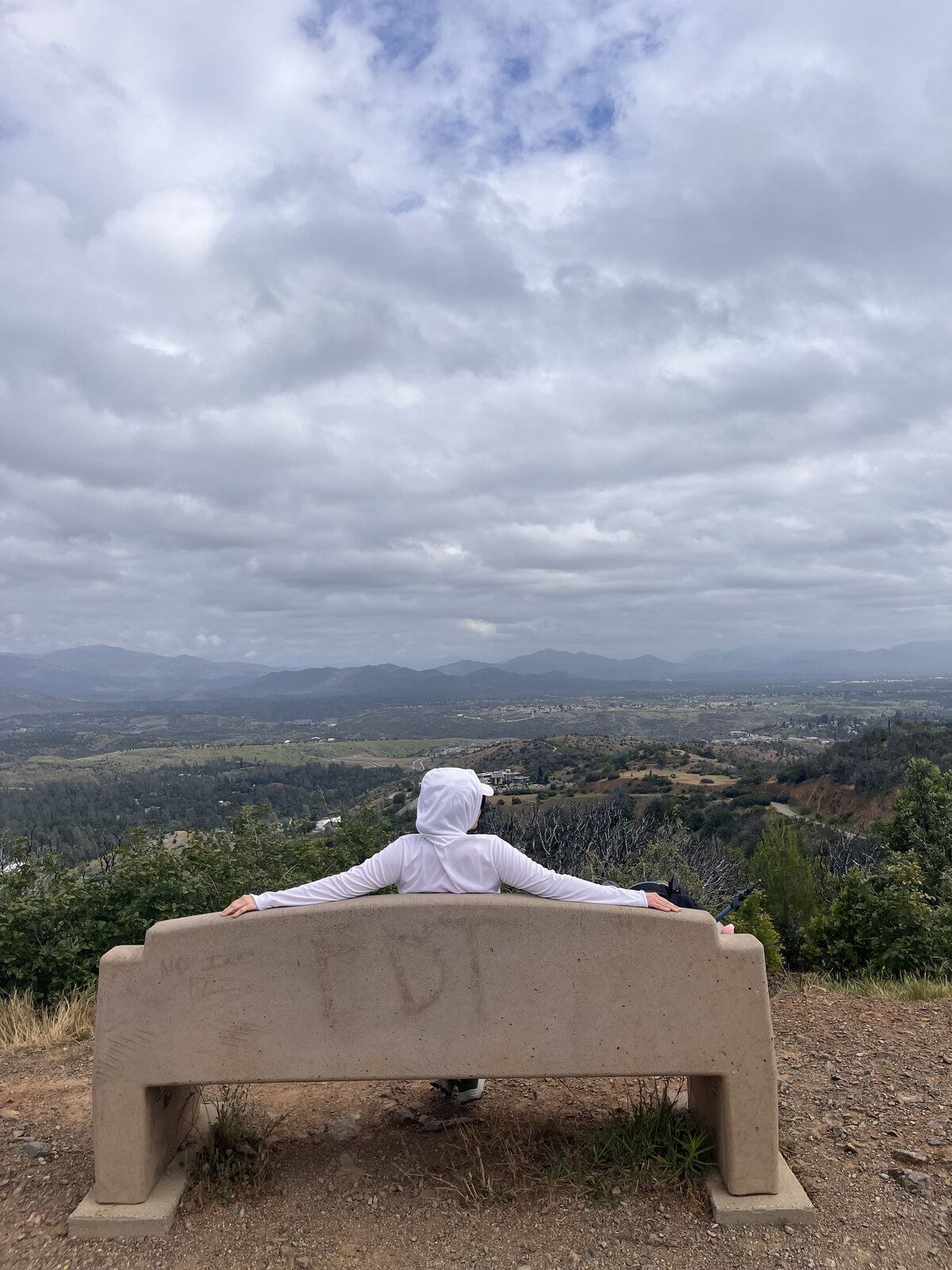
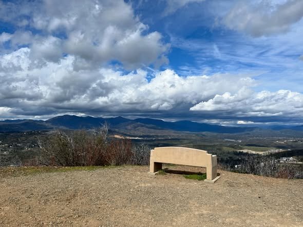
The summit bench was the same good payoff as always — arms spread wide across the back of it, the Redding valley spread out below under a sky full of moving clouds. Traded off sitting for photos, then a couple of selfies together before heading back down. Still one of the best short, close-to-town paybacks-for-effort hikes around.
First Ascent — March 9, 2024
"Top of the World" is one of those hikes that punches way above its weight for the effort involved — a few miles and about 550 feet of gain out of the Lower Springs Trailhead, right on the edge of Redding's Westside neighborhoods, for a payoff that rivals hikes twice as long. The trail climbs steadily through open chaparral and oak woodland, easy enough to knock out on a weekday morning.
March brought a moody, changeable sky — big banks of storm clouds rolling through with just enough breaks to light up the hills below in patches. Snow dusted the higher peaks in the distance, a nice reminder that winter hadn't fully let go even as the lower elevations were starting to green up.
The top delivers a genuine 360-degree payoff: Mt. Shasta and Lassen Peak both visible on a clear stretch, the Trinity Alps out to the west, and the Redding valley spread out below, houses and green hillsides giving way to the folded, oak-studded country beyond. There's a bench up there dedicated to a local trail builder, a good spot to sit and let the view do the work after the climb.
Short, steep enough to feel like something, and close enough to town to do on a whim — easy to see why this is one of Redding's most popular viewpoints.
Comments