Shasta Bally
Sixth Ascent — February 6, 2026 — Most Recent
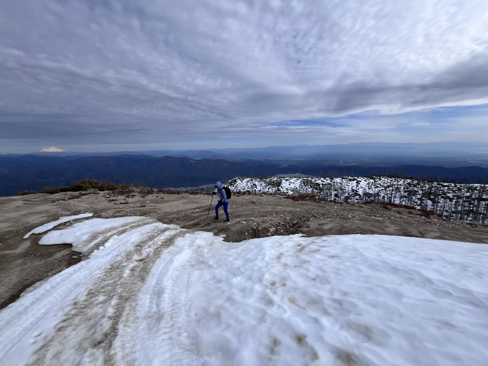
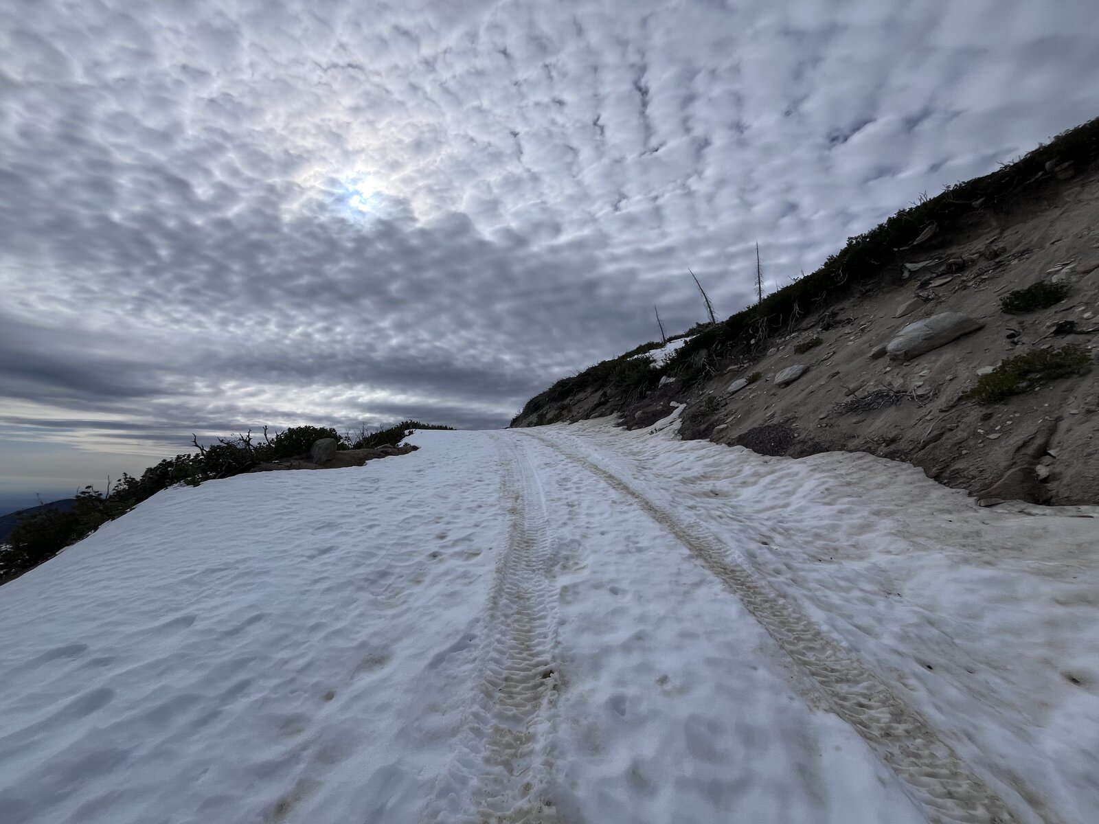
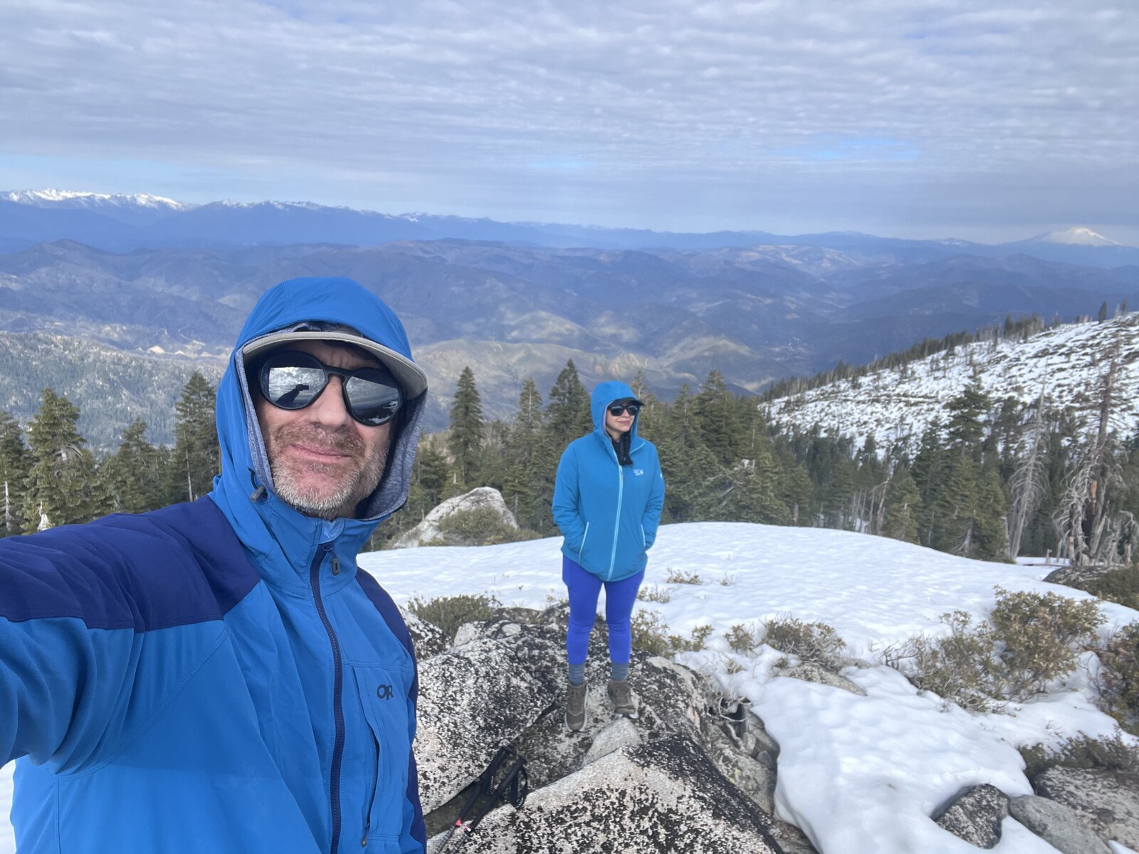
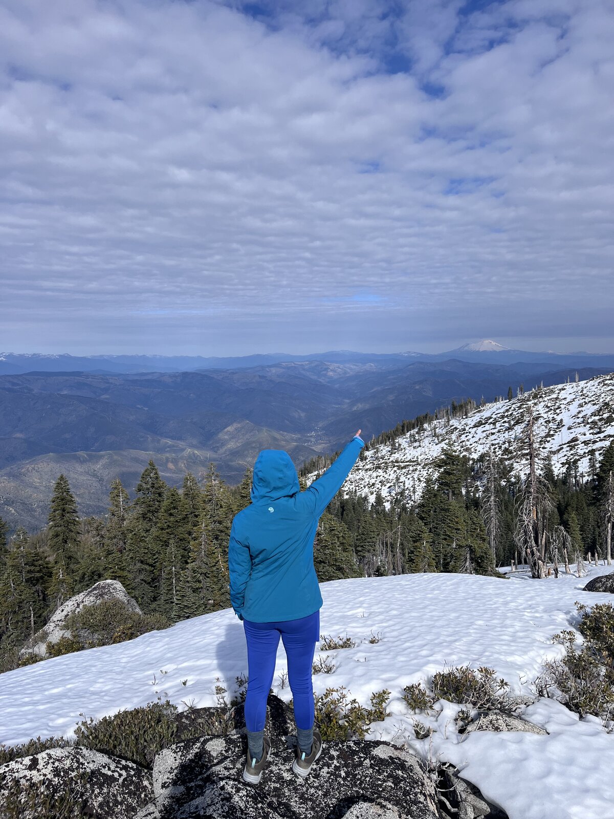
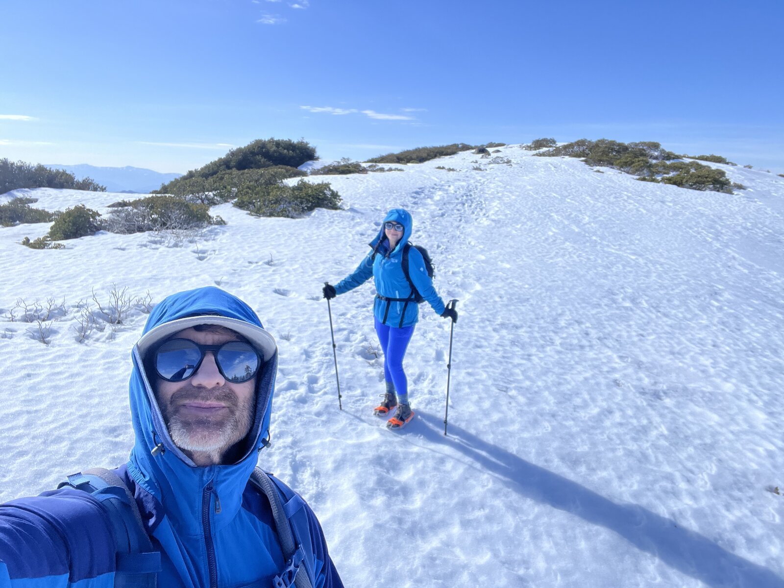
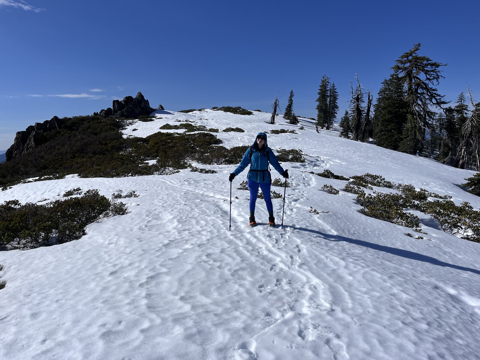
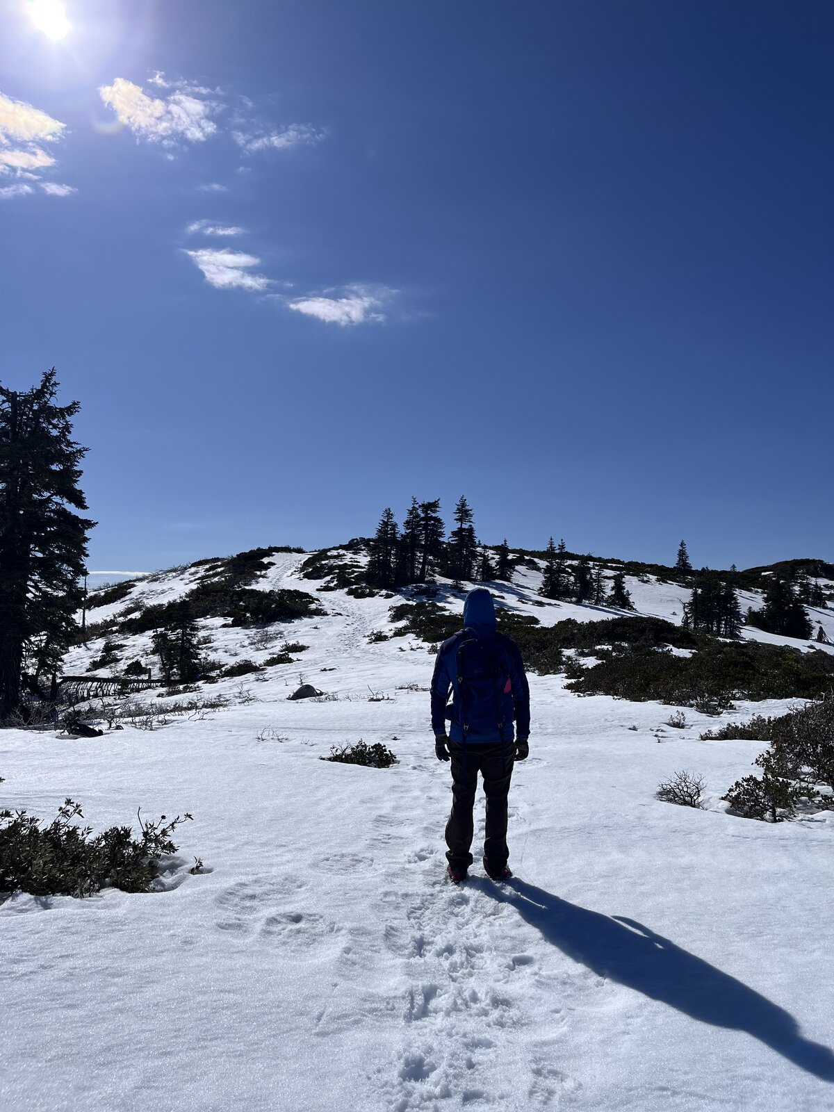
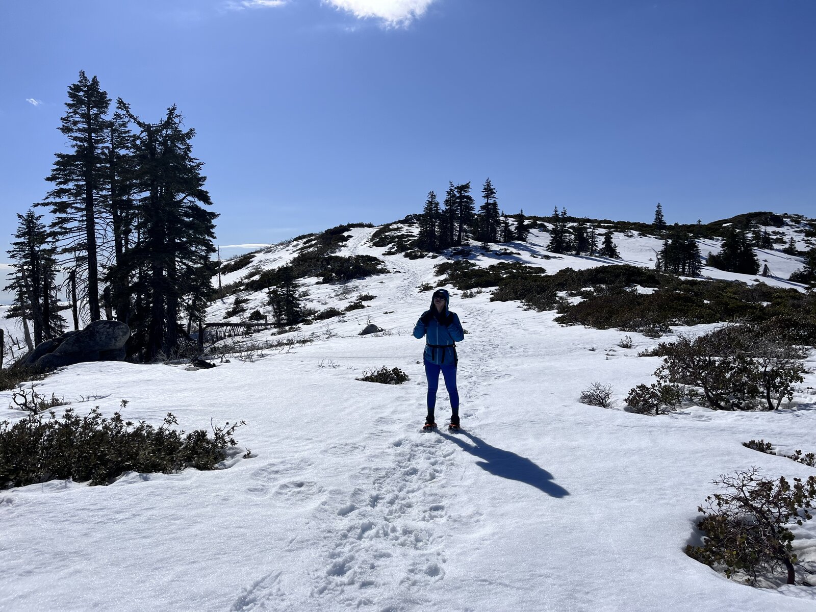
A proper winter trip up Shasta Bally this time, snowshoes strapped on for the upper switchbacks after a solid February storm left the road buried well below the summit. Tracked stats came in at 11.9 miles, 4,262 feet of gain, and just under four hours and forty-four minutes of moving time — a full winter mountaineering day compared to the dry summer and clear-sky trips earlier in the rotation.
The lower miles started dry enough, but snow took over fast climbing into the burned, regrown stretches from the Carr Fire, deep enough by the upper switchbacks to need the snowshoes for real flotation. Trekking poles came out too, planting a steady rhythm through drifts that buried the road completely in places.
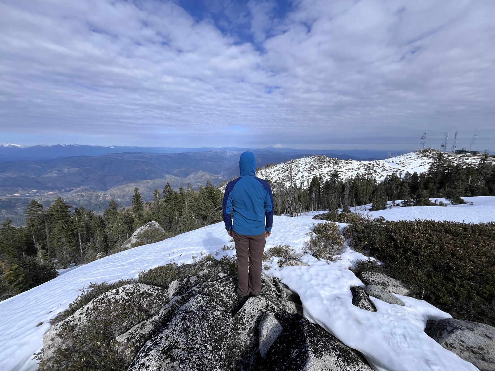
The summit delivered a genuinely different mountain than the last visit — antenna installation dusted in snow, views stretching out under a mix of sun and scattered cloud, cold enough to feel like a real winter summit instead of just a cool-weather hike.
Another completely different personality from this reliable training climb — snowshoes and full winter conditions this time, a good reminder of just how much this mountain changes season to season.
Fifth Ascent — December 13, 2025
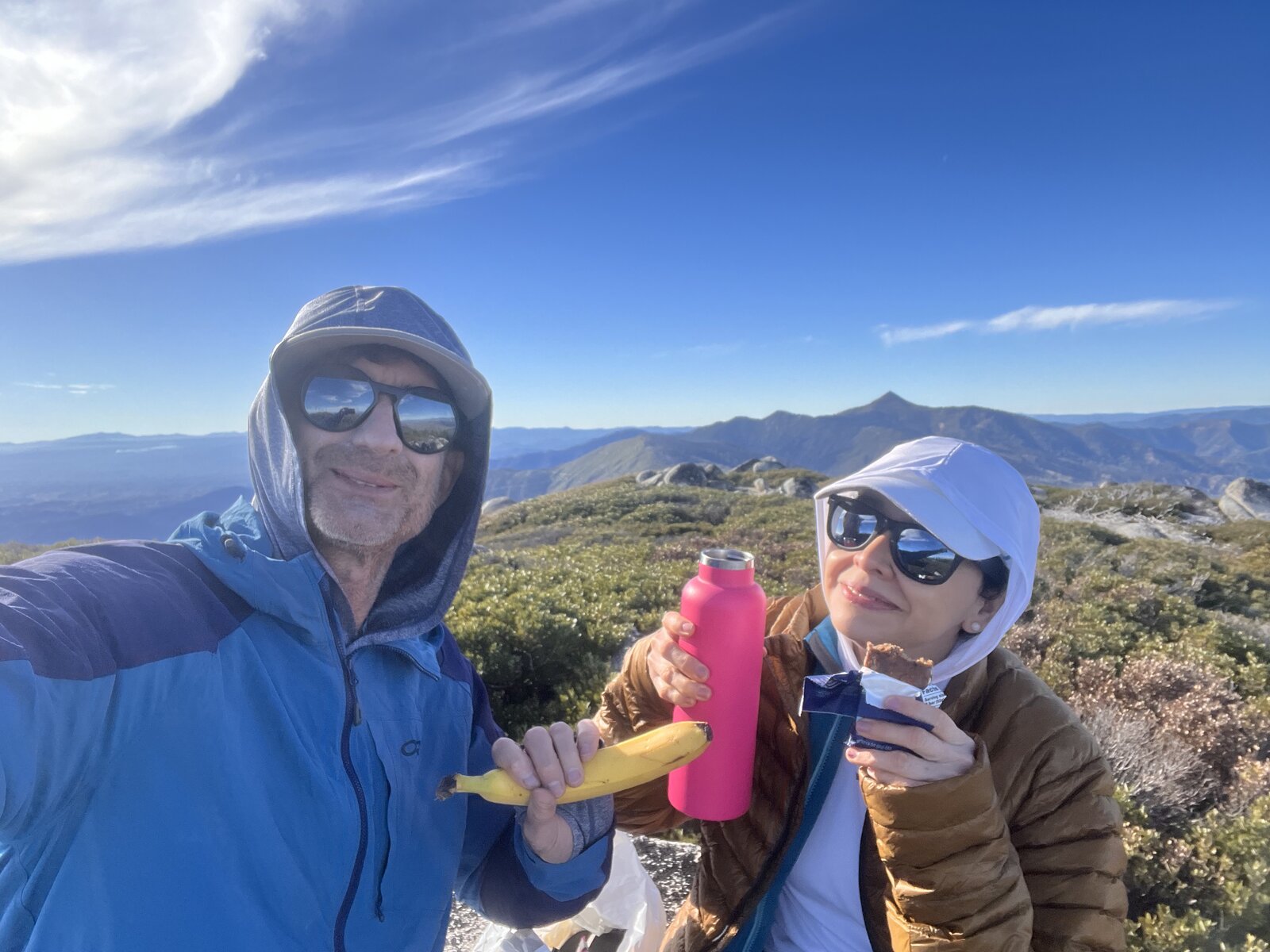
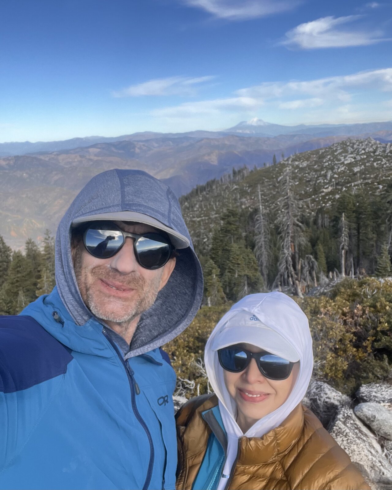
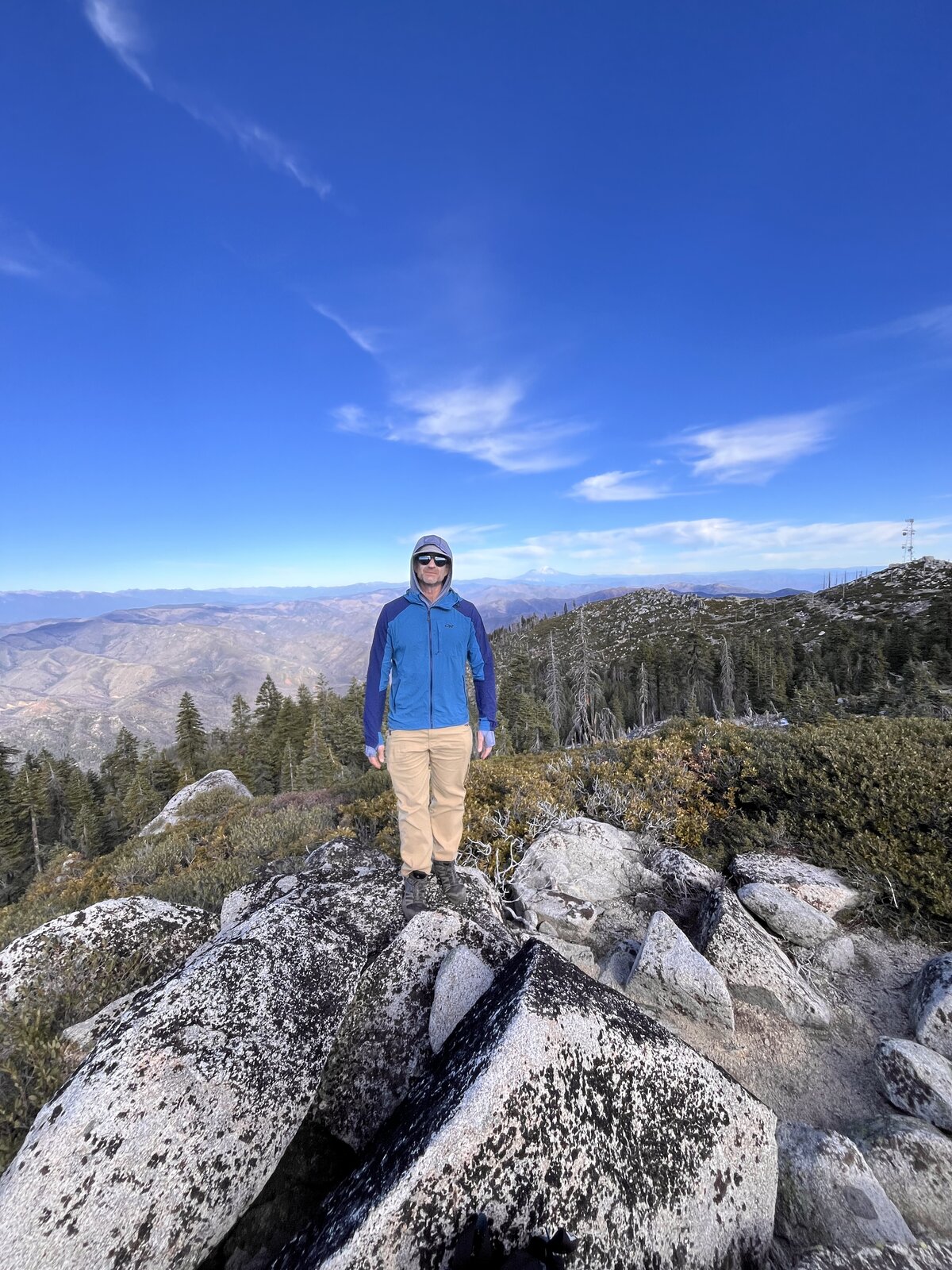
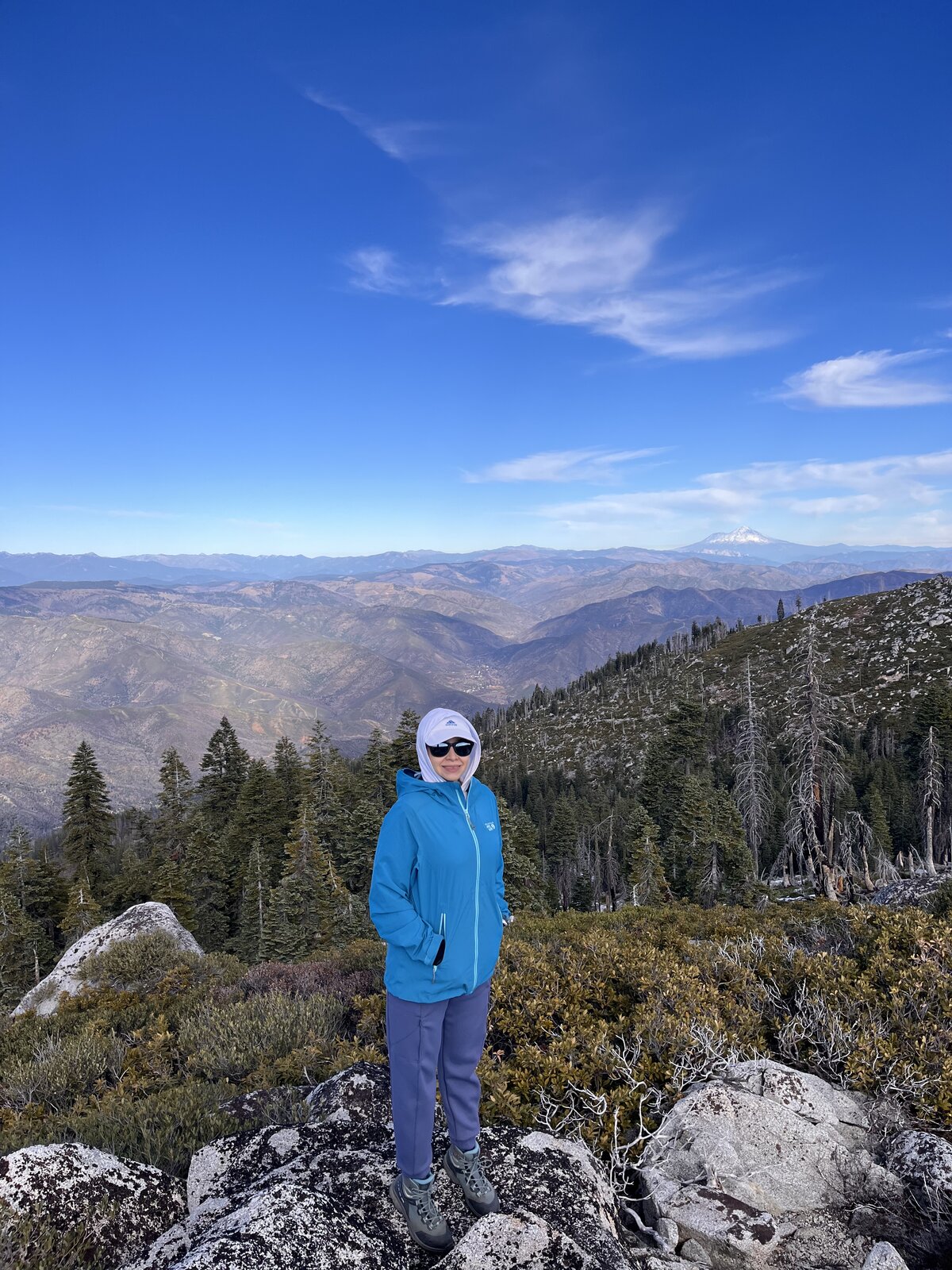
A wonderful December lap up Shasta Bally, 11.7 miles and 4,265 feet of gain under a completely clear winter sky — no snow on the road this time, just cold, crisp air and views that stretched on forever in every direction.
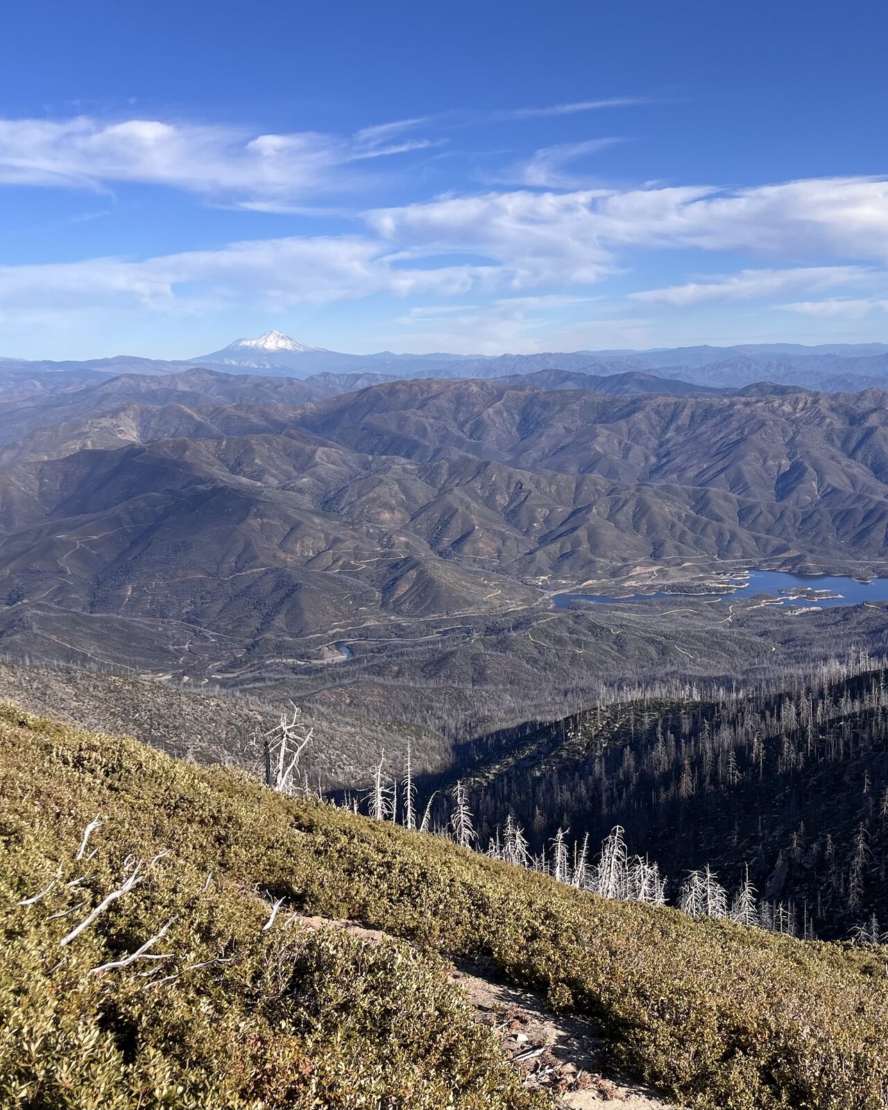
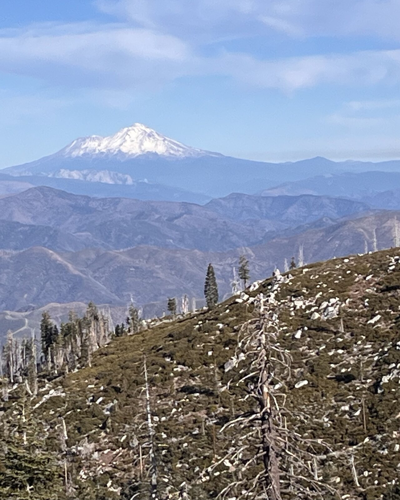
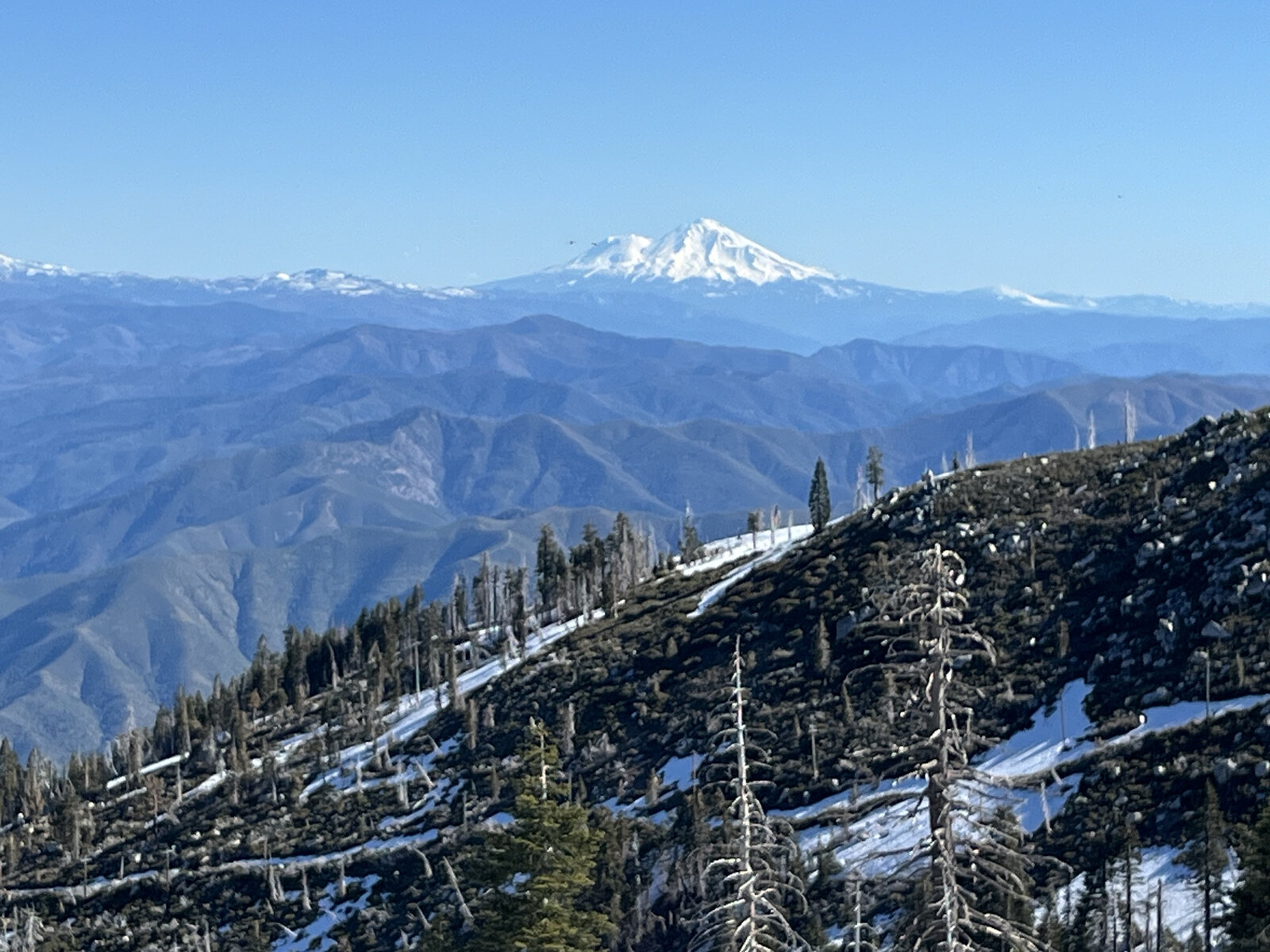
Mount Shasta stood out sharp and snow-capped to the north for long stretches of the upper switchbacks, visible well before the trees finally thinned out near the summit. A quick snack break partway up made for a good excuse to sit and take in the Trinity Alps rolling out to the west.
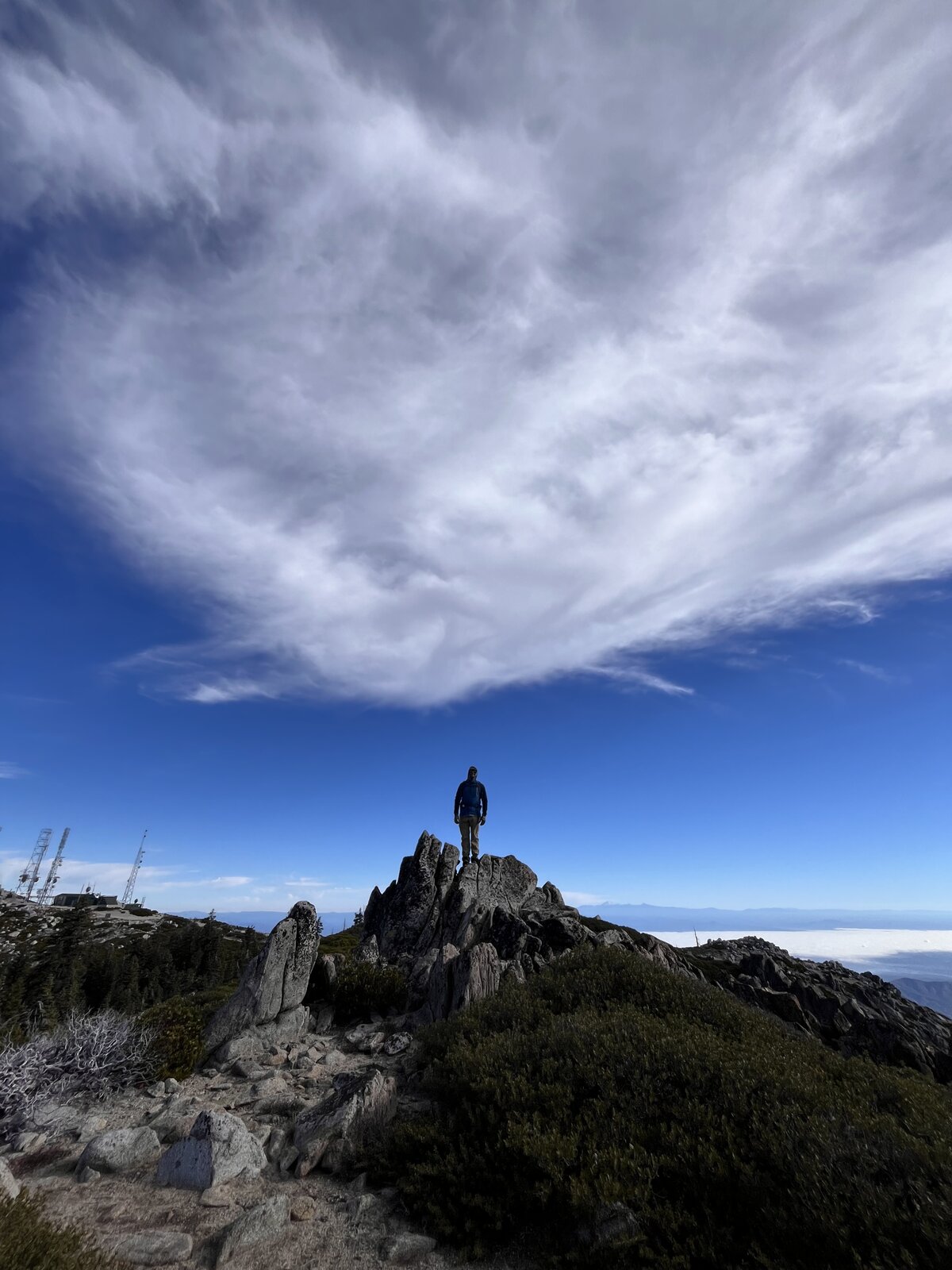
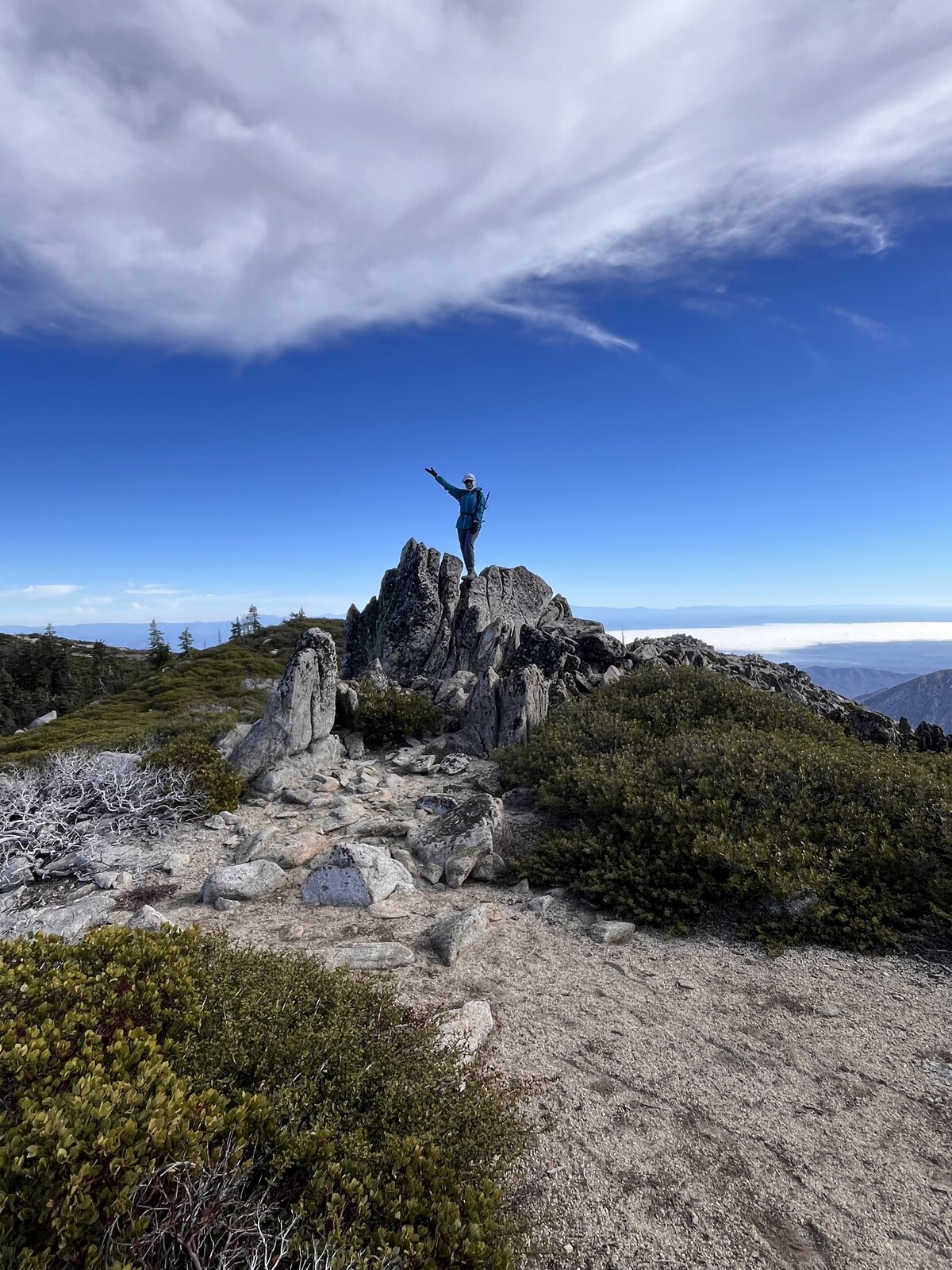
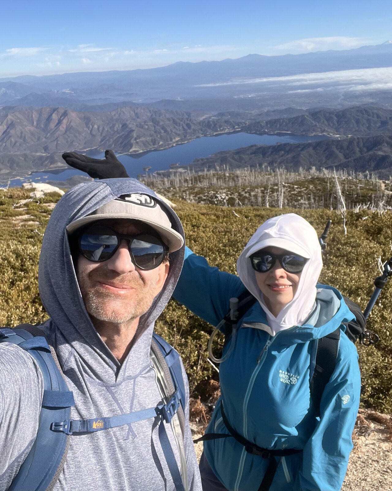
The summit delivered the same reliable payoff as always — Whiskeytown Lake spread out below, its arms cutting through the hills, with the antenna installation marking the true high point at 6,199 feet. A little cold underfoot near the top, but clear enough to see for miles in every direction.
Another great training day on one of Redding's most dependable climbs — different every season, and this December visit might have had the best visibility of any trip up here yet.
Fourth Ascent — May 17, 2025
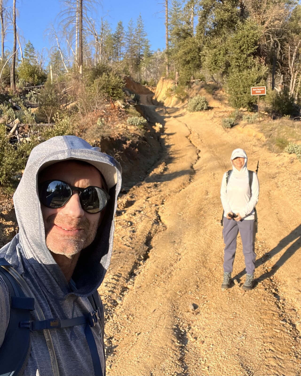
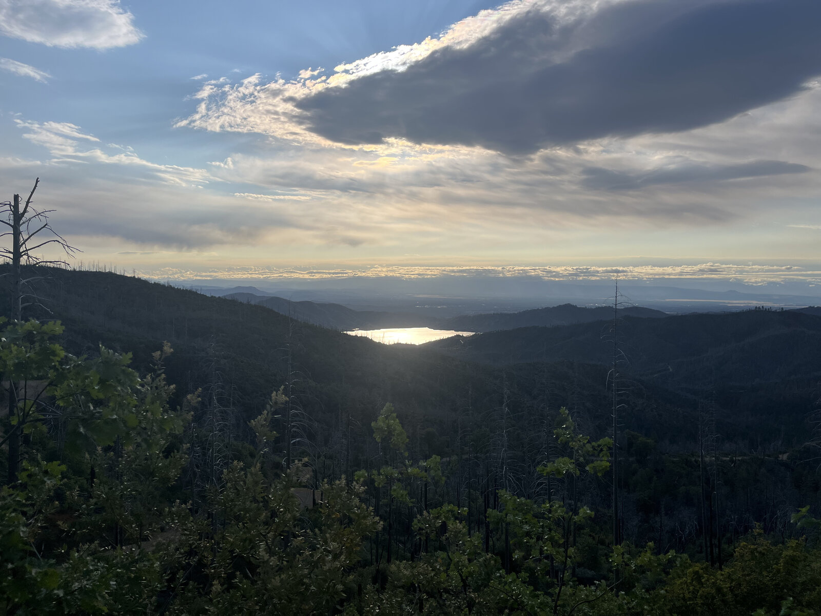
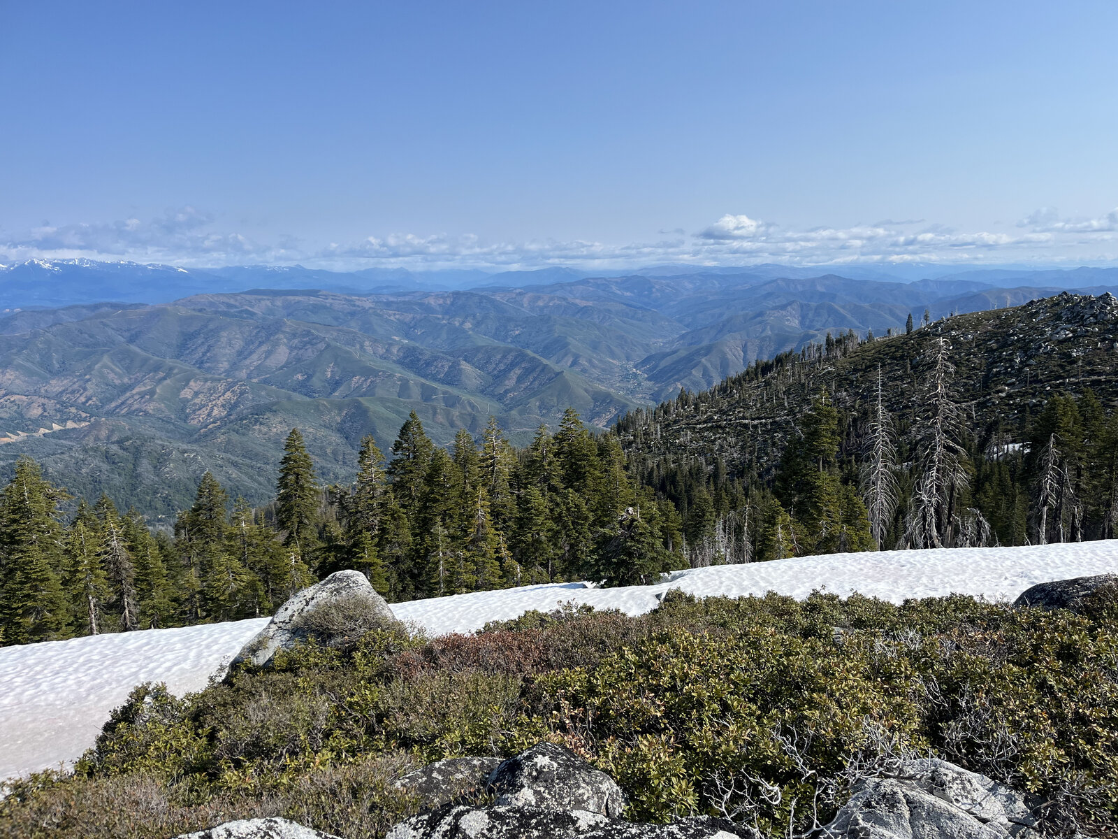
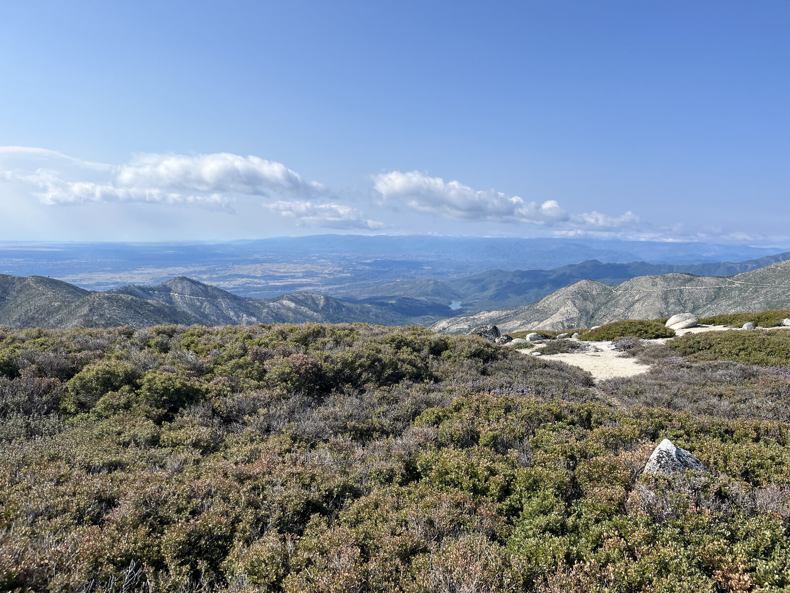
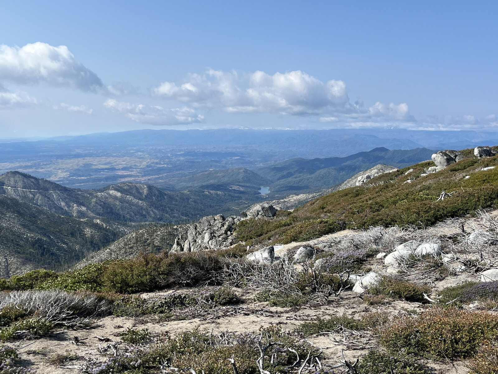
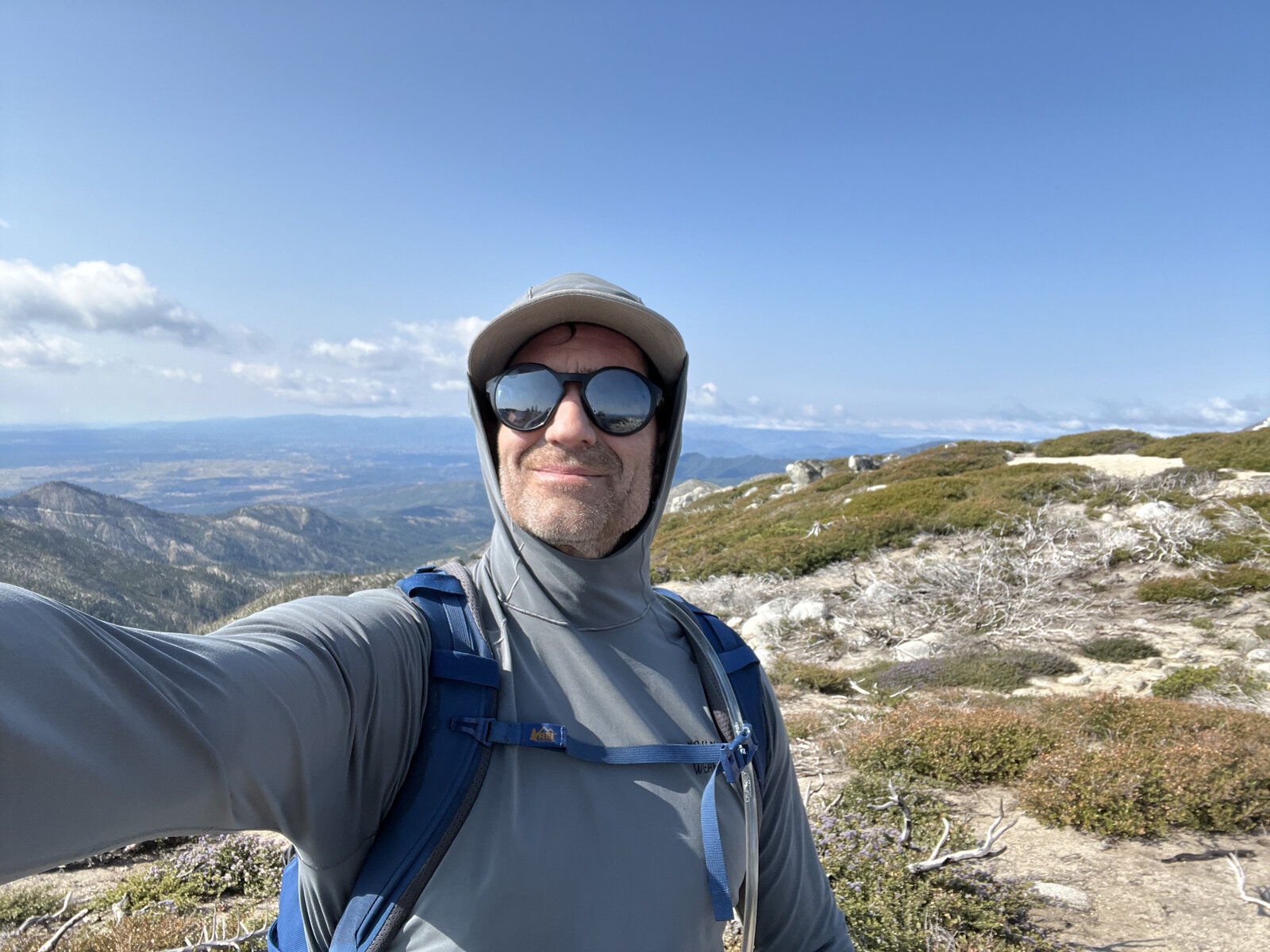
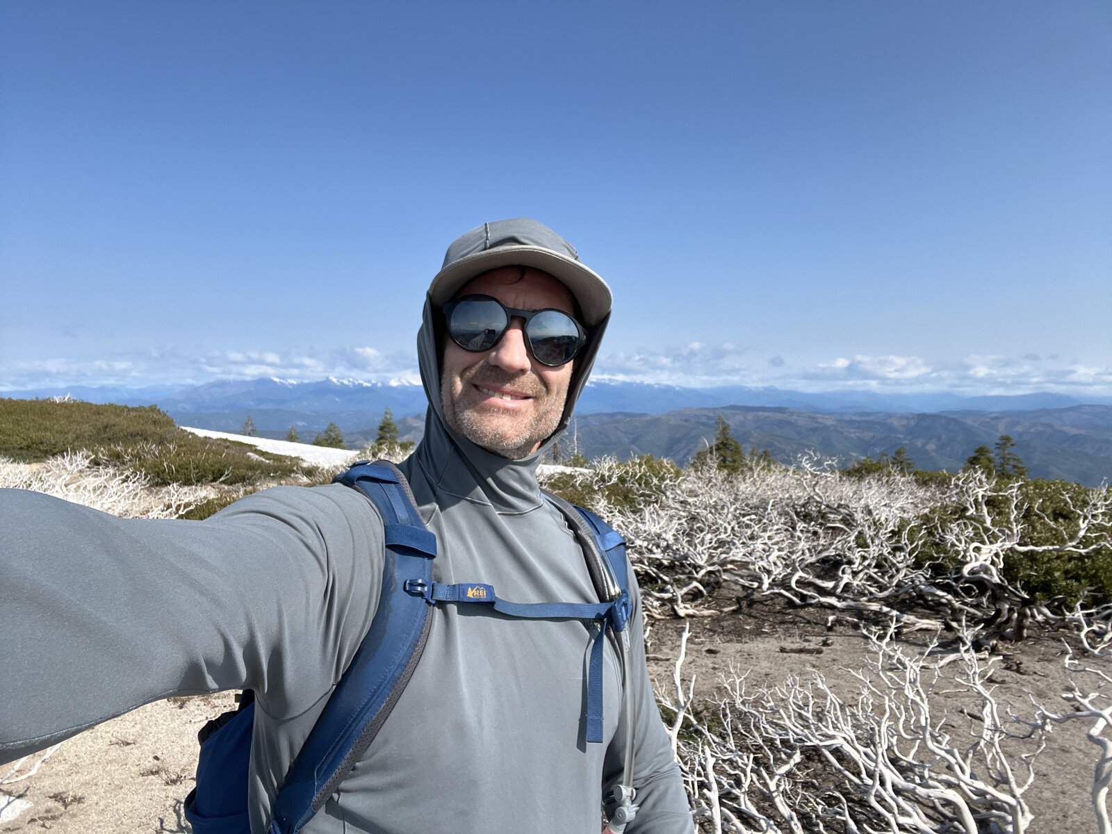
Another training lap up Shasta Bally, fueled by just one banana at the trailhead — a five-hour, 12.5-mile round trip with a challenging 4,700 feet of gain that reminded me exactly why this road makes such a good training hike. An early start meant catching the sun coming up over Whiskeytown Lake, the water glowing gold through the trees on the way up.
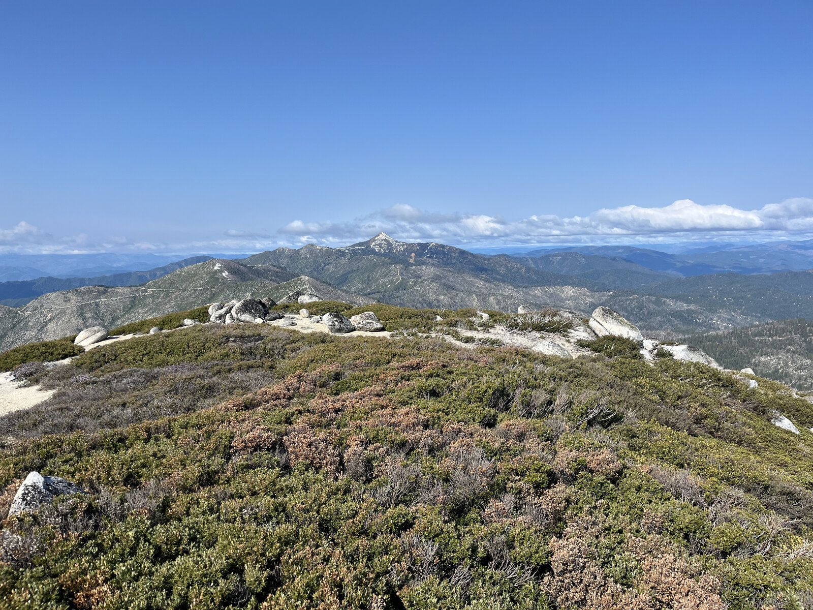
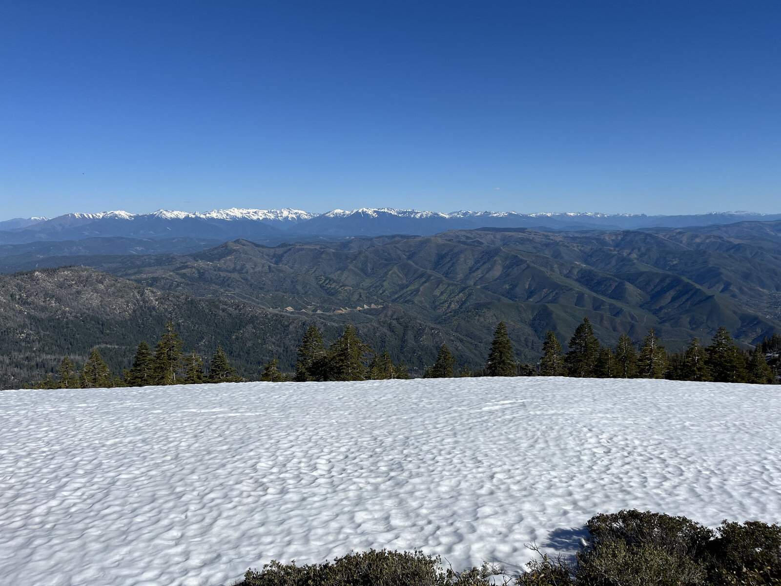
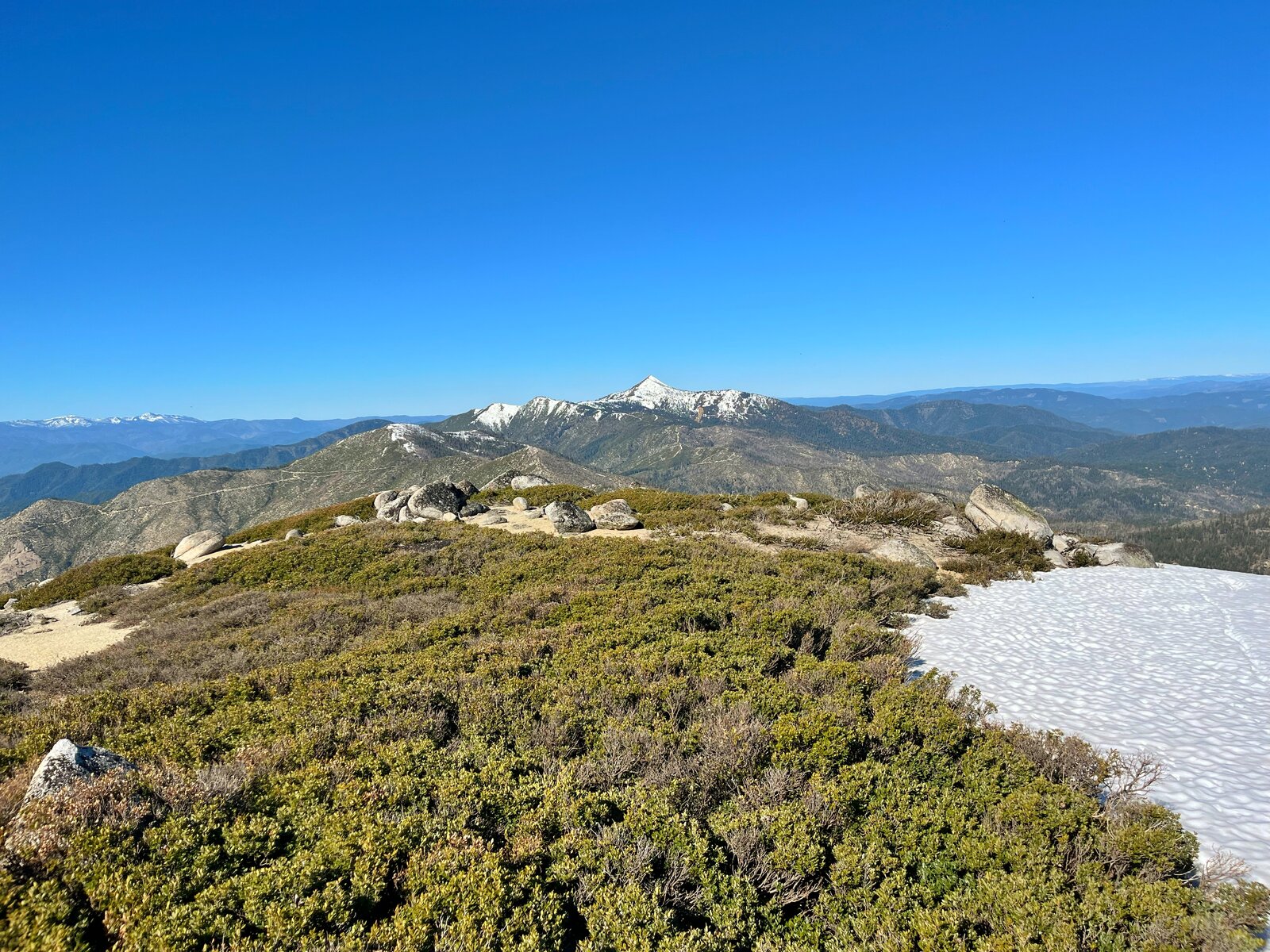
The upper switchbacks delivered the usual mix on this mountain — patches of lingering snow tucked in the shaded stretches of forest, then open, rocky, manzanita-covered ridgeline the rest of the way to the top, with the Trinity Alps and the Klamath Mountains rolling out in every direction once the trees thinned out.
That post-hike sandwich back at the car tasted like pure victory after a full day of climbing on essentially no fuel — a good, hard training day in the books, and one more reminder of why this stretch of road never gets any easier no matter how many times I climb it.
Third Ascent — January 2, 2025
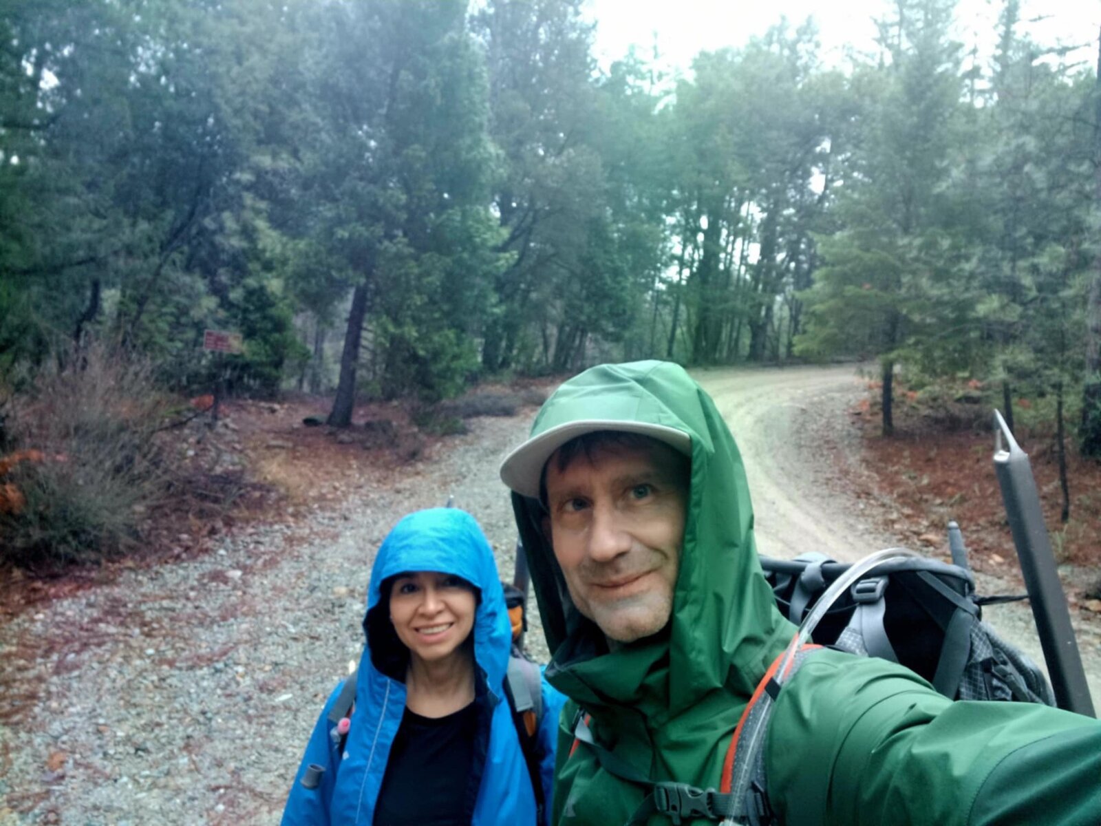
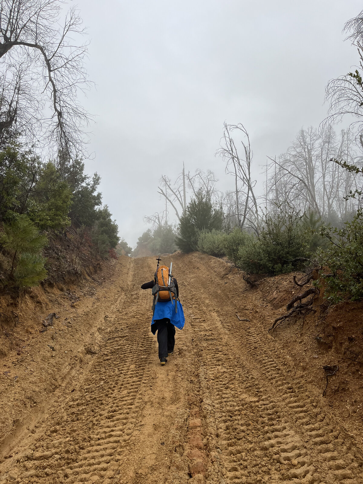
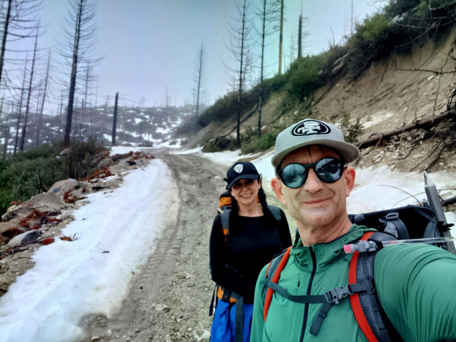
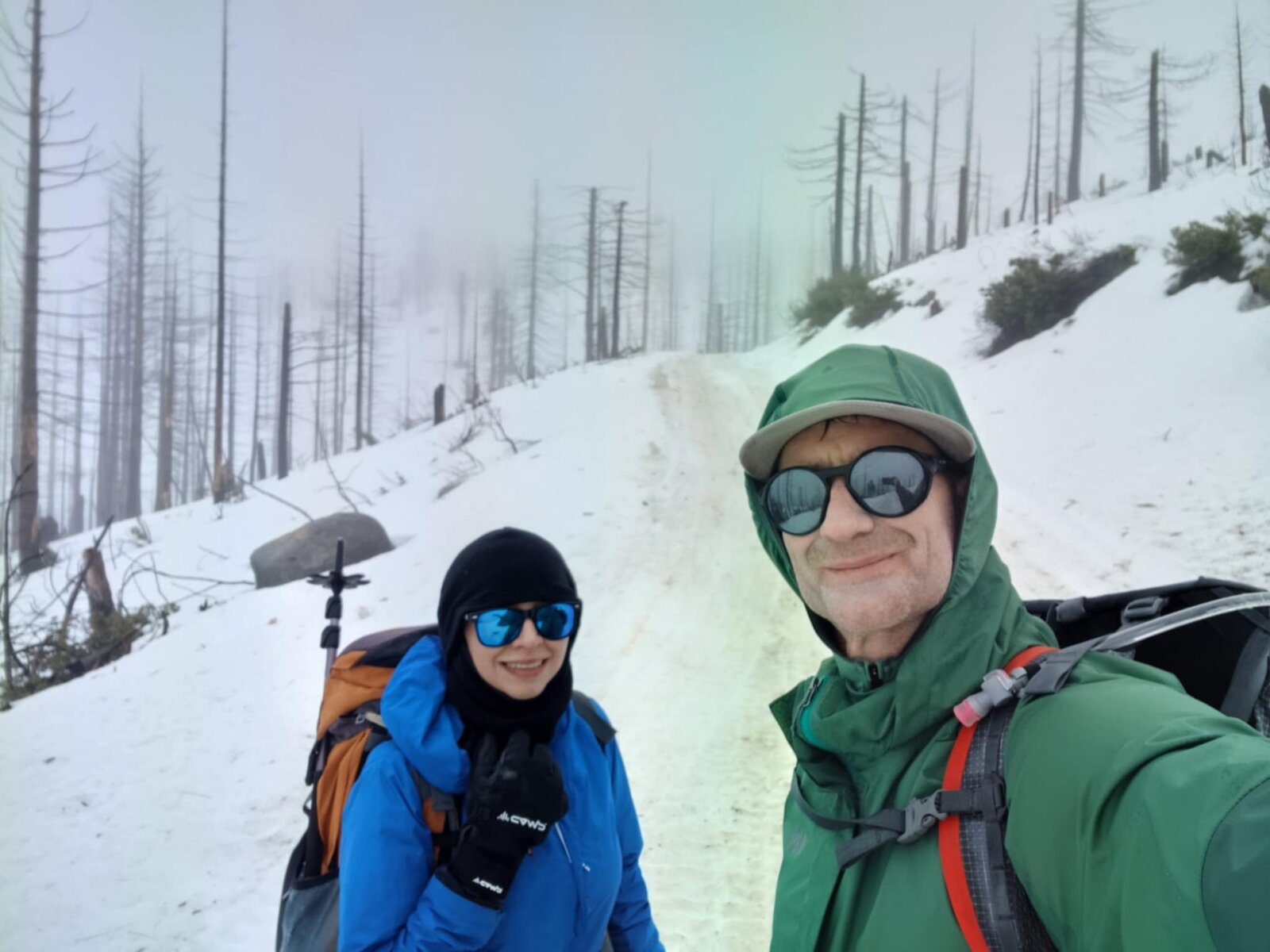
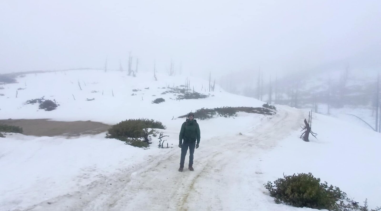
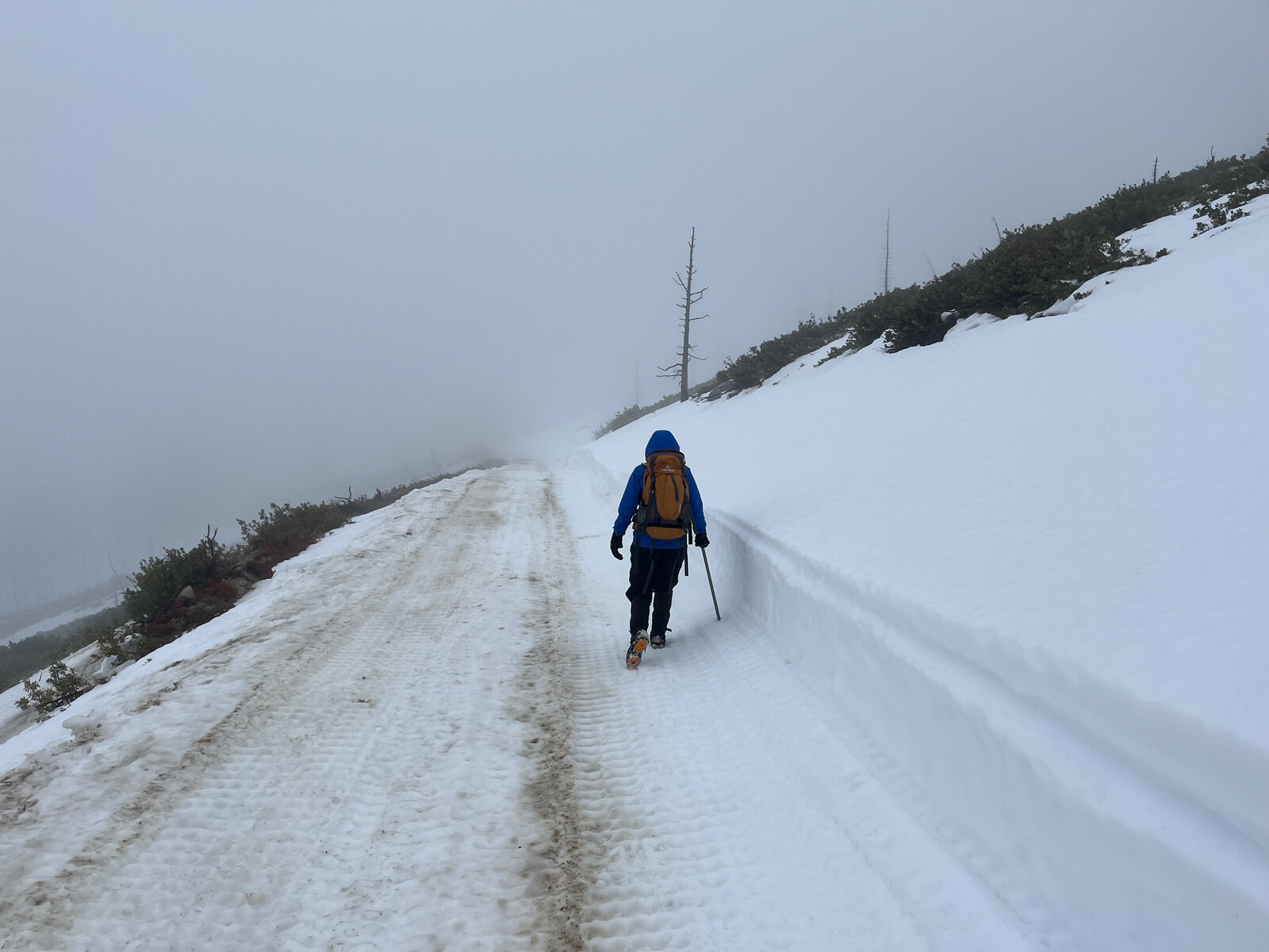
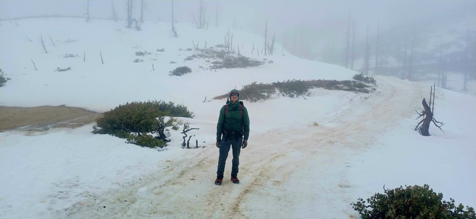
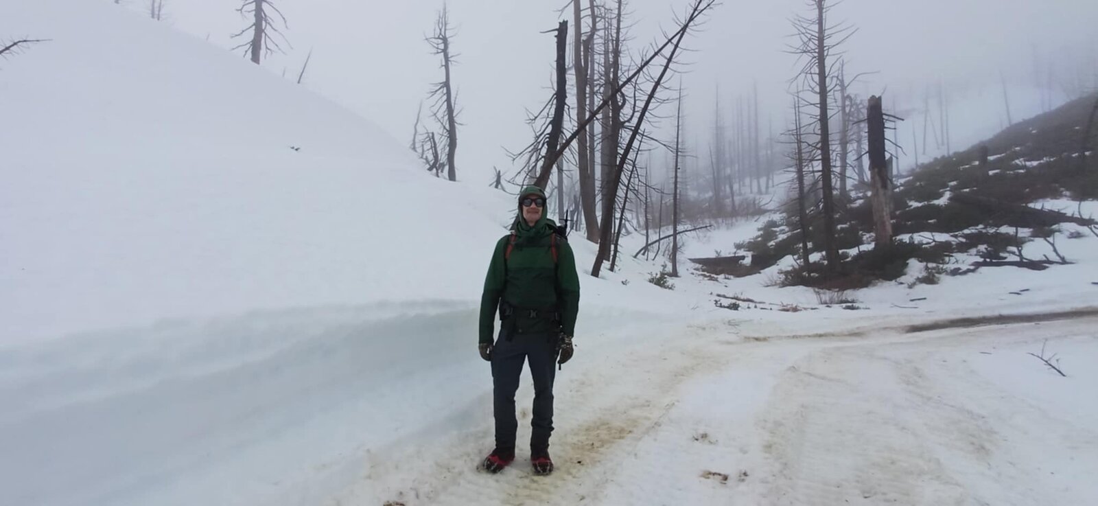
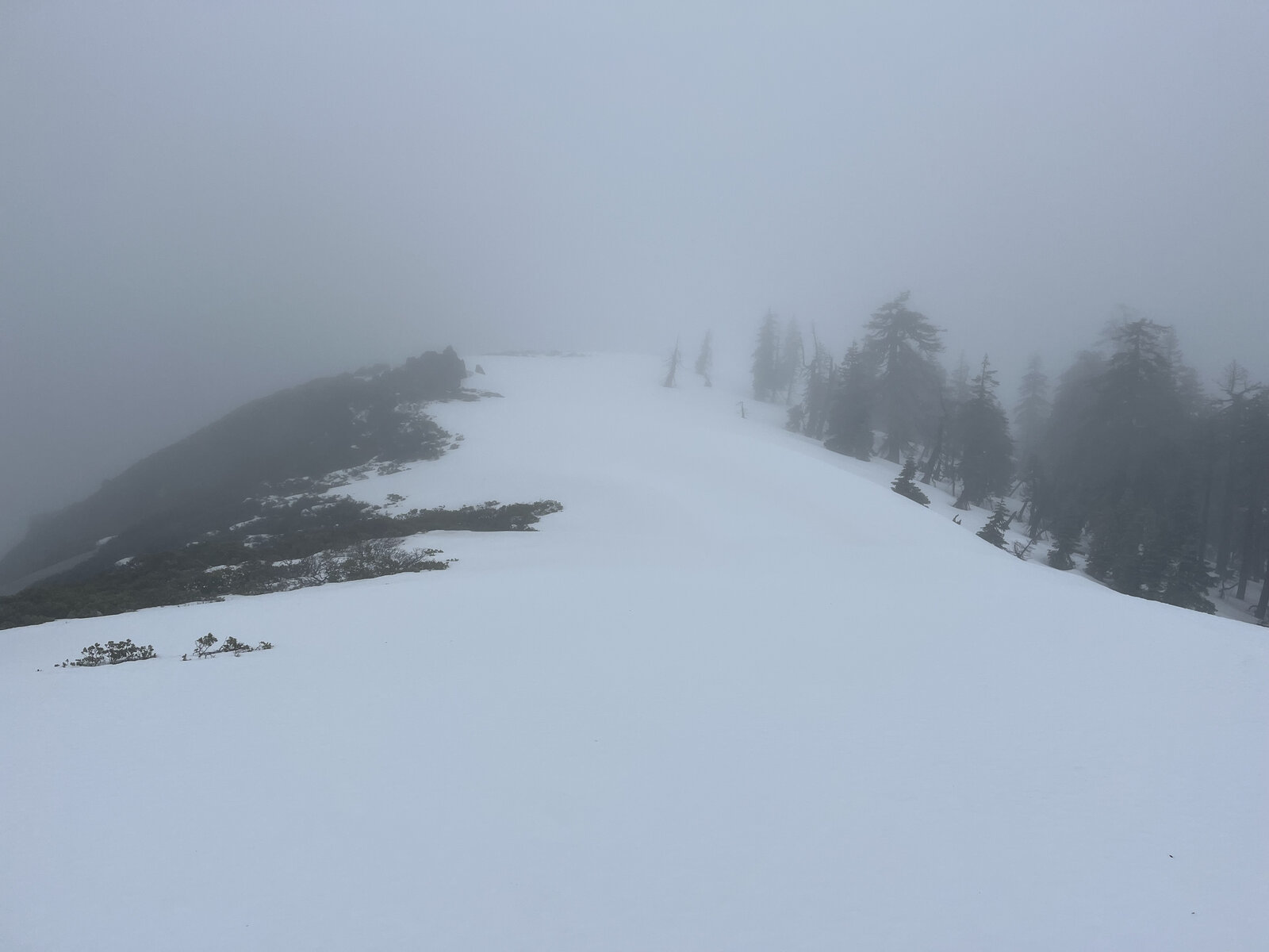
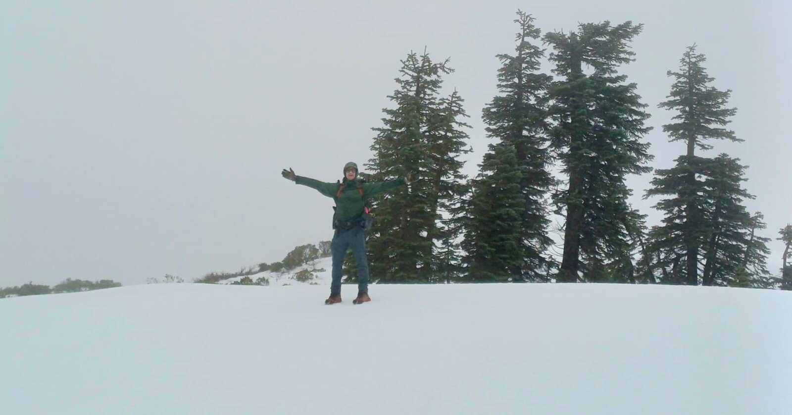
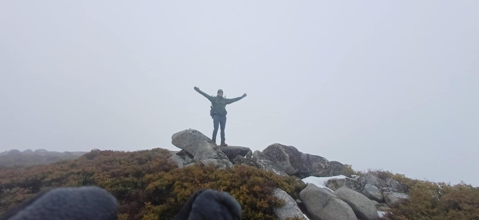
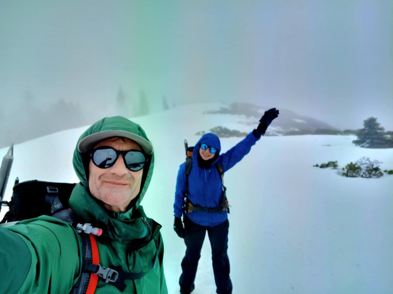
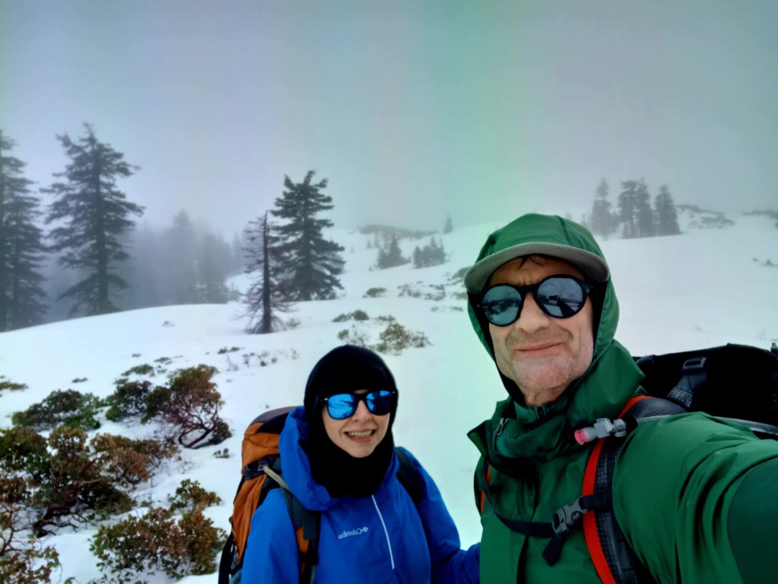
Back up Shasta Bally to start off the new year, and this trip couldn't have looked more different from the first two — a full snow hike from partway up the road all the way to the summit, instead of the dry, sun-exposed climb from the previous May visits. Steady fog rolled in early and never really let go for the rest of the day.
The lower switchbacks out of Sheep Camp started in drizzle with bare ground, but snow appeared fast once the road climbed into the burned, regrown stretches from the Carr Fire — first just patches between the blackened trunks, then a full, unbroken snowpack covering the road completely for the last few miles to the summit.
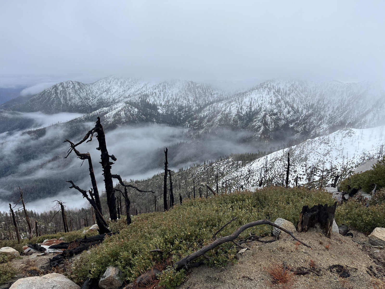
Views were limited almost the entire way up, the fog thick enough to erase the Trinity Alps and Mount Shasta that showed so clearly back in May — just one brief window where the clouds broke enough to reveal snow-covered ridgelines rolling out below. Still, standing on the summit boulders with snow underfoot instead of bare rock made for a genuinely different kind of payoff.
Limited visibility or not, it was an amazing day on the mountain — quiet, cold, completely socked in, and a nice reminder that this peak has more than one personality depending on the season.
Second Ascent — May 18, 2024
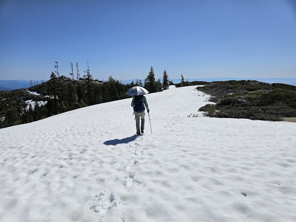
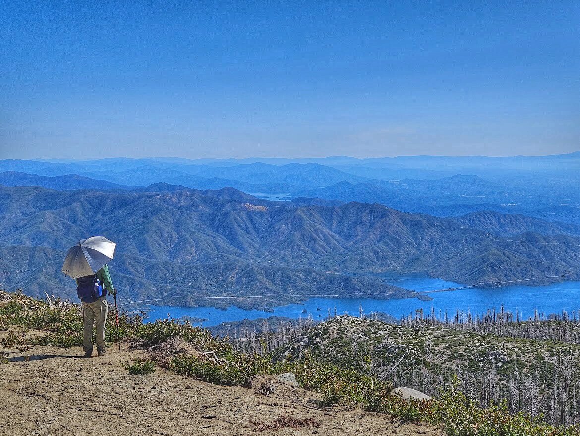
Back up Shasta Bally exactly a week later, and this time with a sun umbrella in tow for the long, exposed stretches near the top — a small trick that made a real difference once the day started warming up on the open switchbacks.
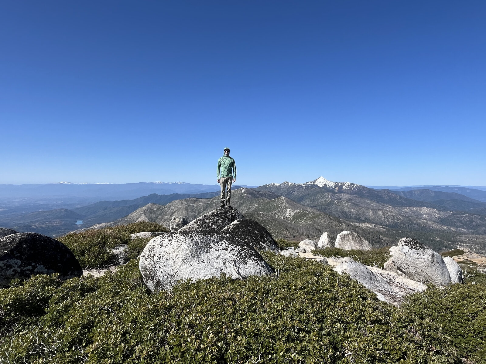
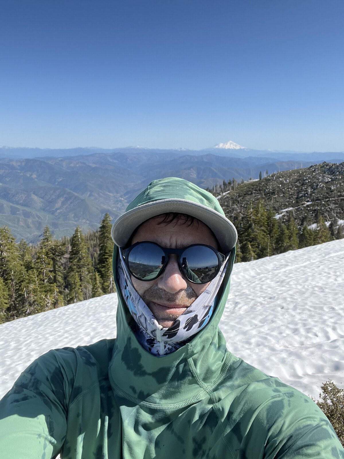
The true summit boulders delivered the same sweeping view as the first trip — Mount Shasta clear and sharp to the north, a lake glinting far below, and range after range of the Klamath Mountains fading into haze. A quick stop up on the rocks for a photo before continuing on toward the antenna installation, buff pulled up against the wind.
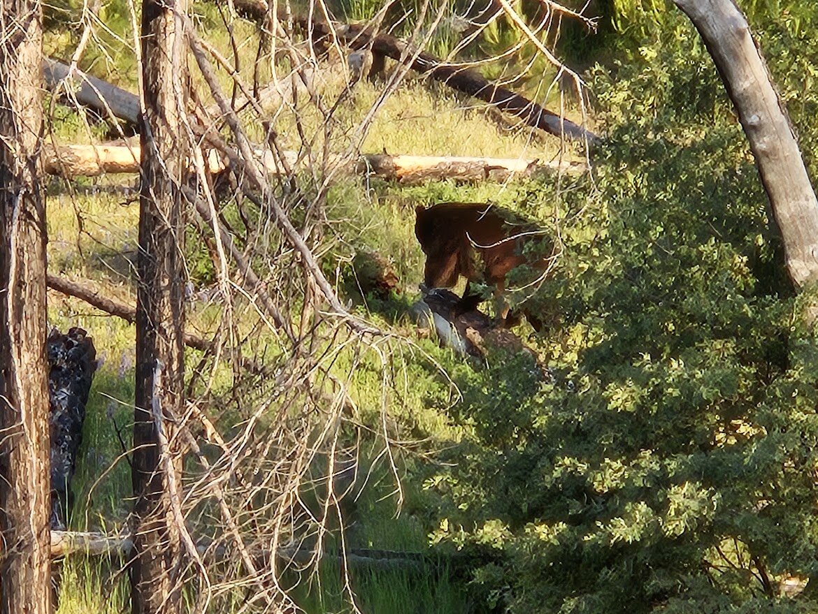
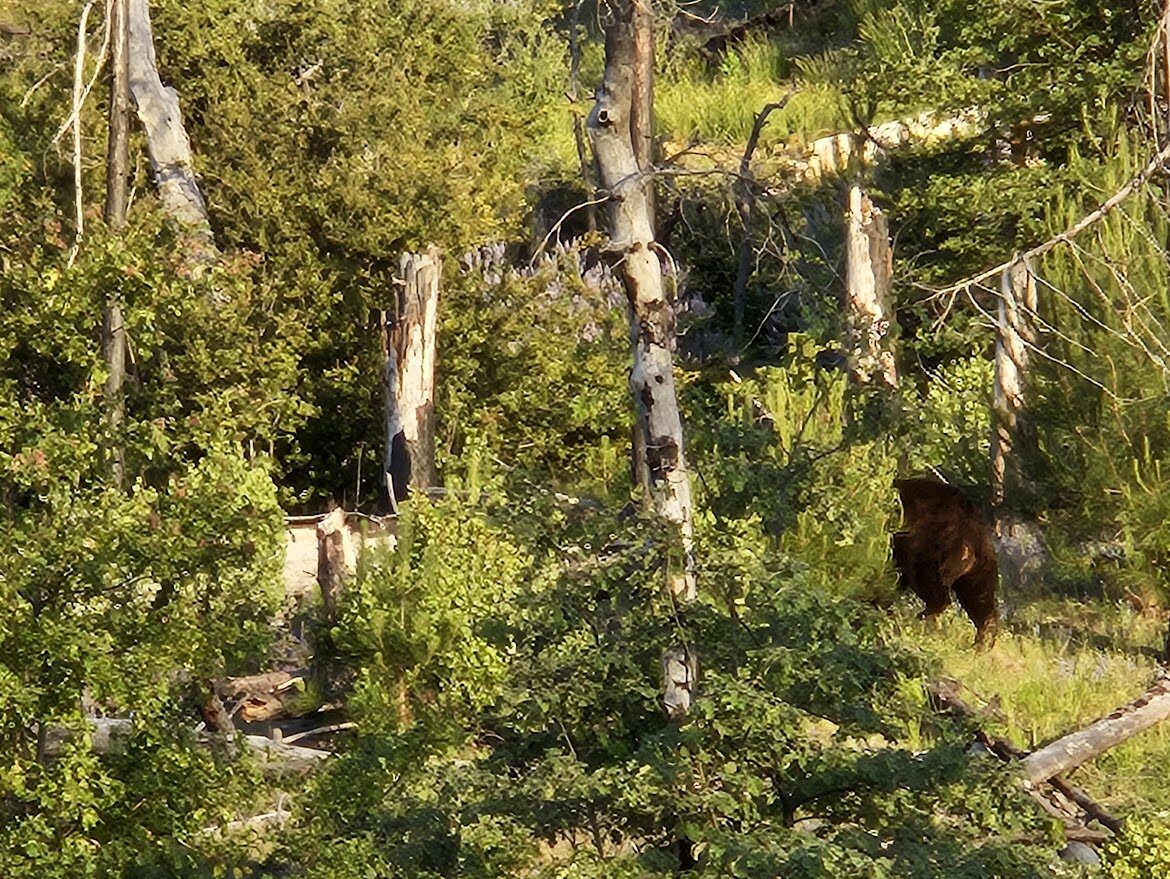
The best moment of the day came on the way down: a black bear working through the burned, regrown brush just off the trail, spotted twice more as it moved through the hillside before finally wandering off. A good reminder of how quickly this landscape is recovering from the Carr Fire.
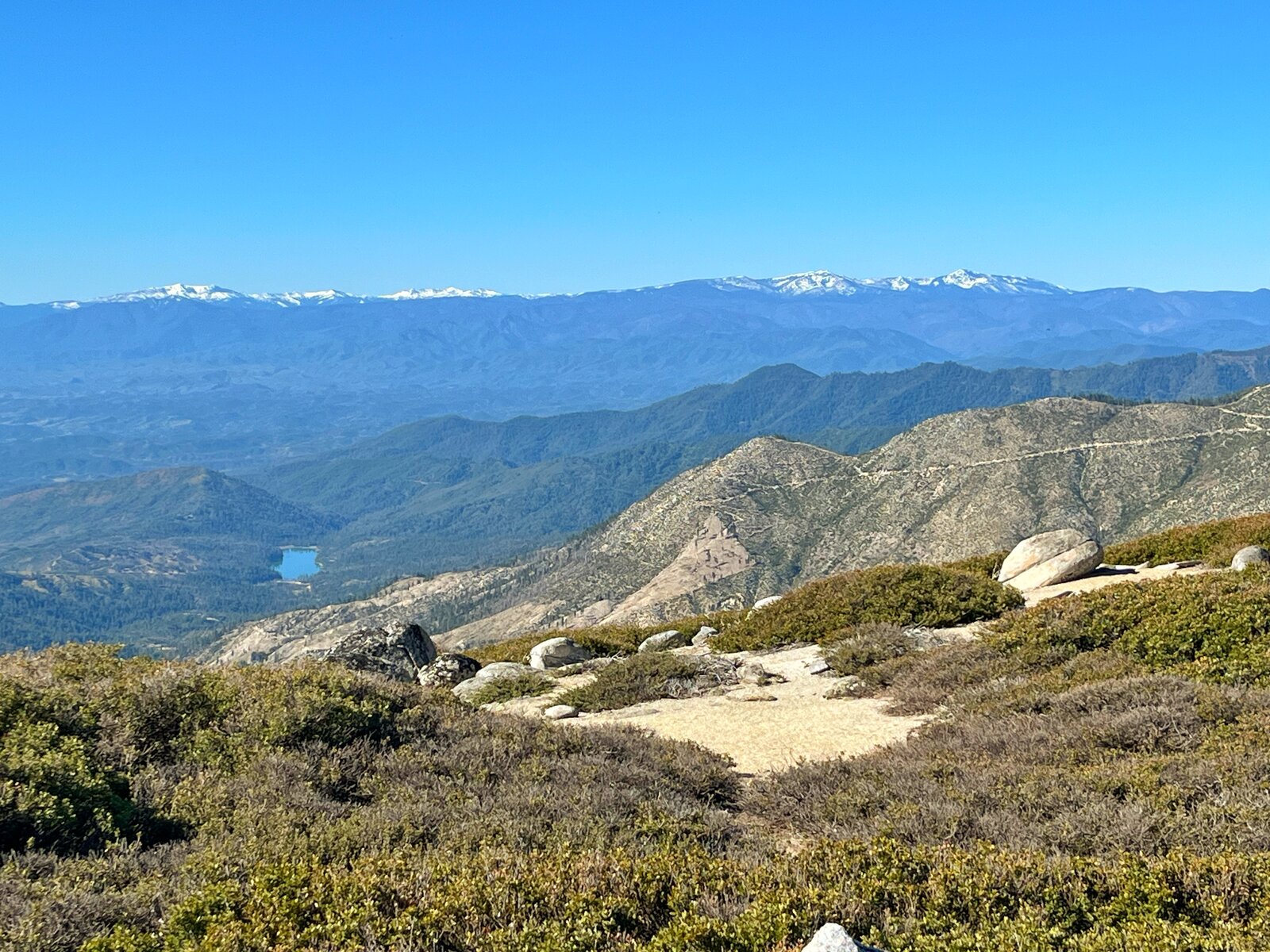
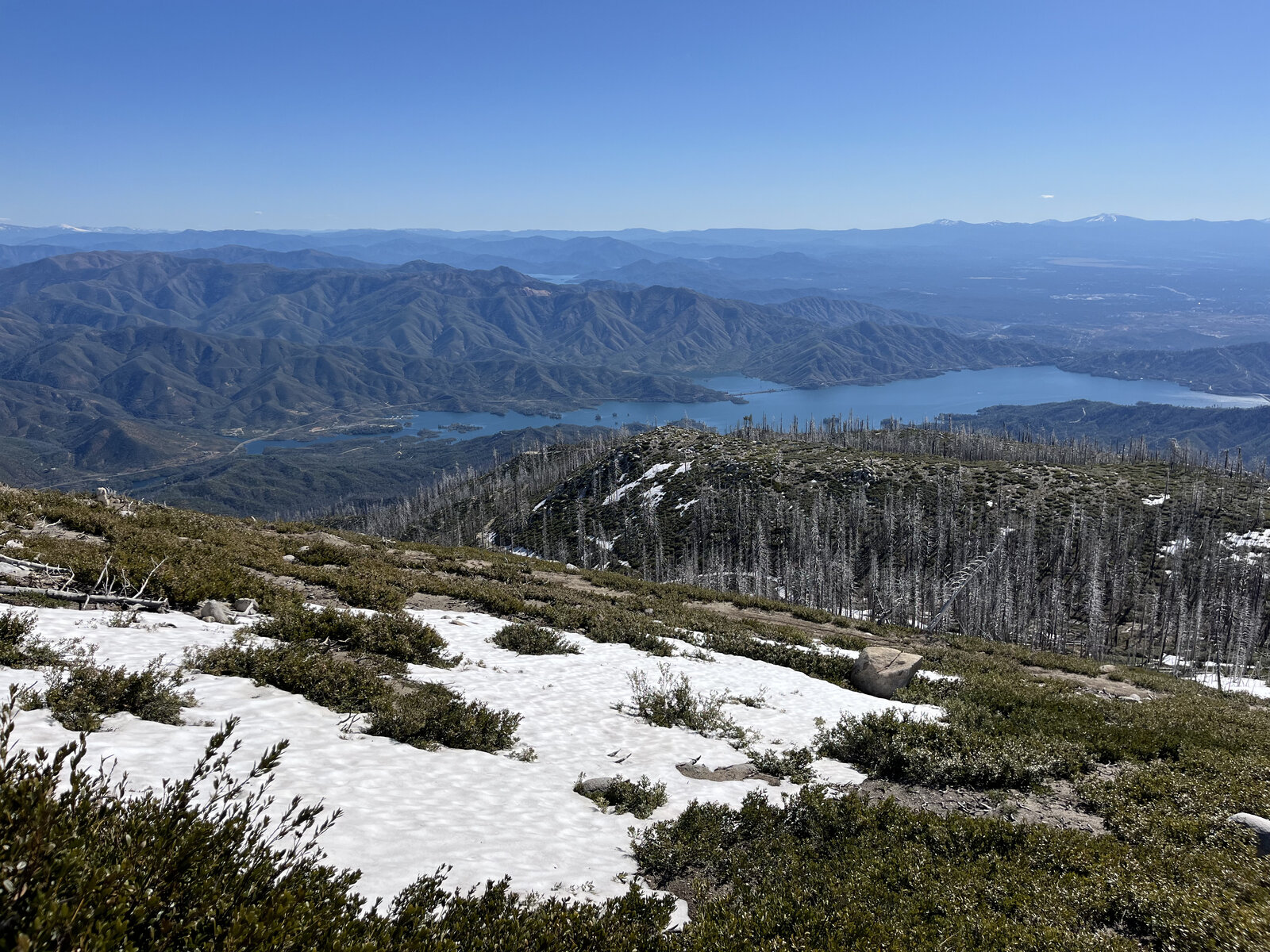
The view down over Whiskeytown Lake from the open ridge near the top might be the single best moment on this entire trail — the lake a deep, saturated blue against the pale, dry hills, well worth pausing for before the long walk back down.
First Ascent — May 11, 2024
Shasta Bally is the high point of the Whiskeytown Unit, and the road to the top doesn't waste any time making that clear — steep from the start out of Sheep Camp and never really letting up for the better part of six miles up. It's a straightforward route to follow, just the old summit road climbing switchback after switchback, but the sustained grade makes it one of the more demanding training hikes in the Redding area.
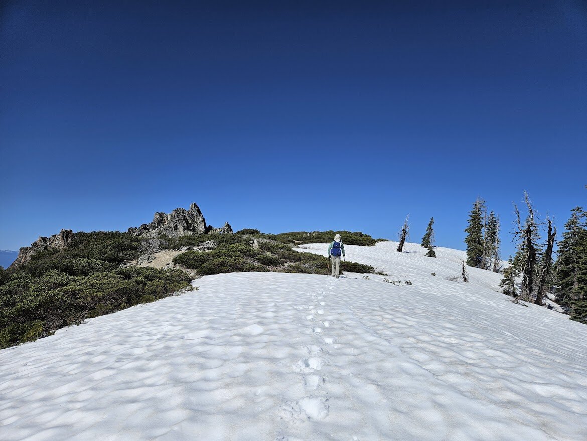
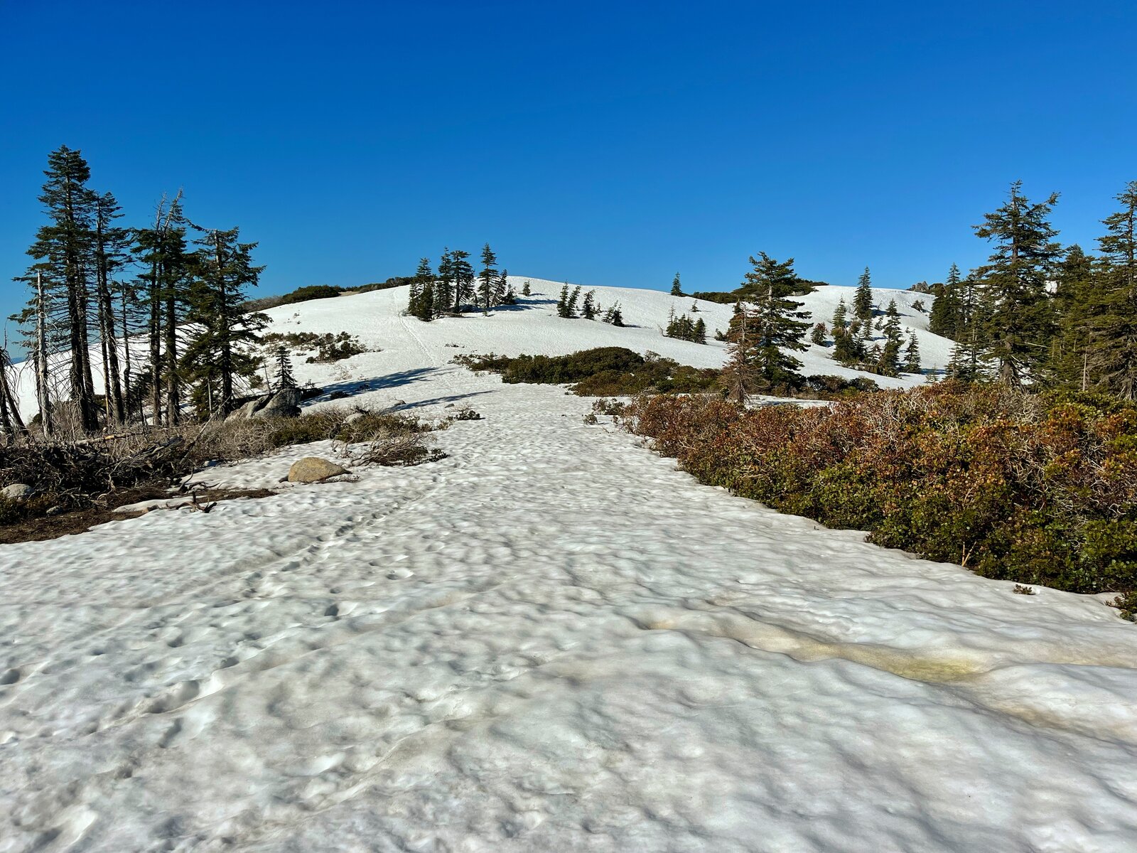
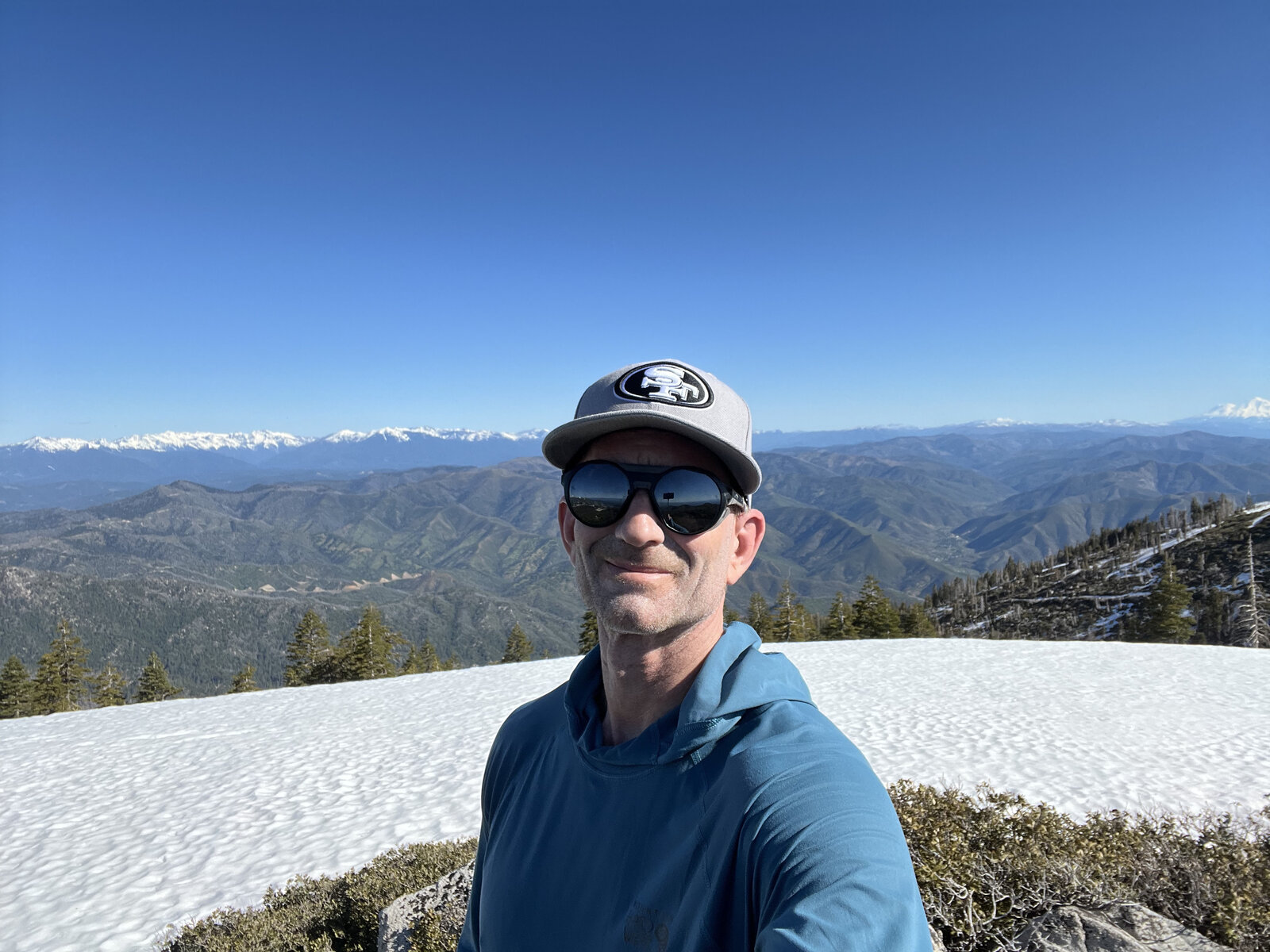
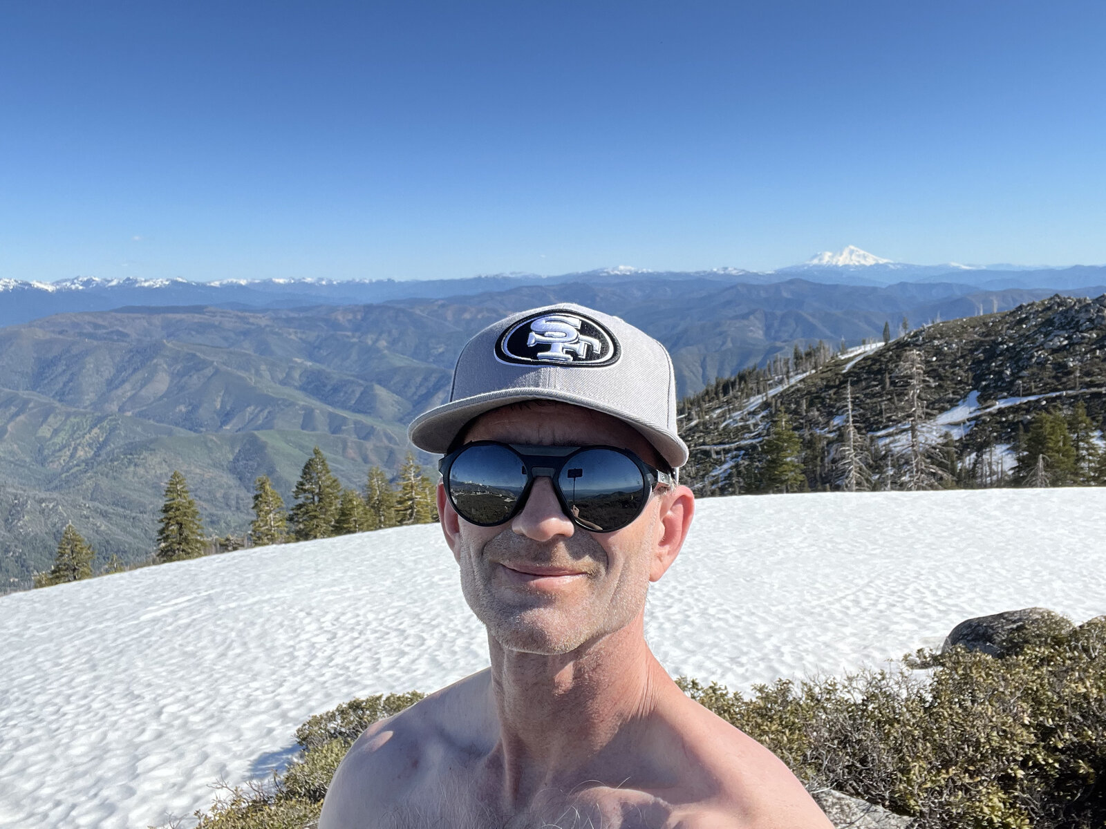
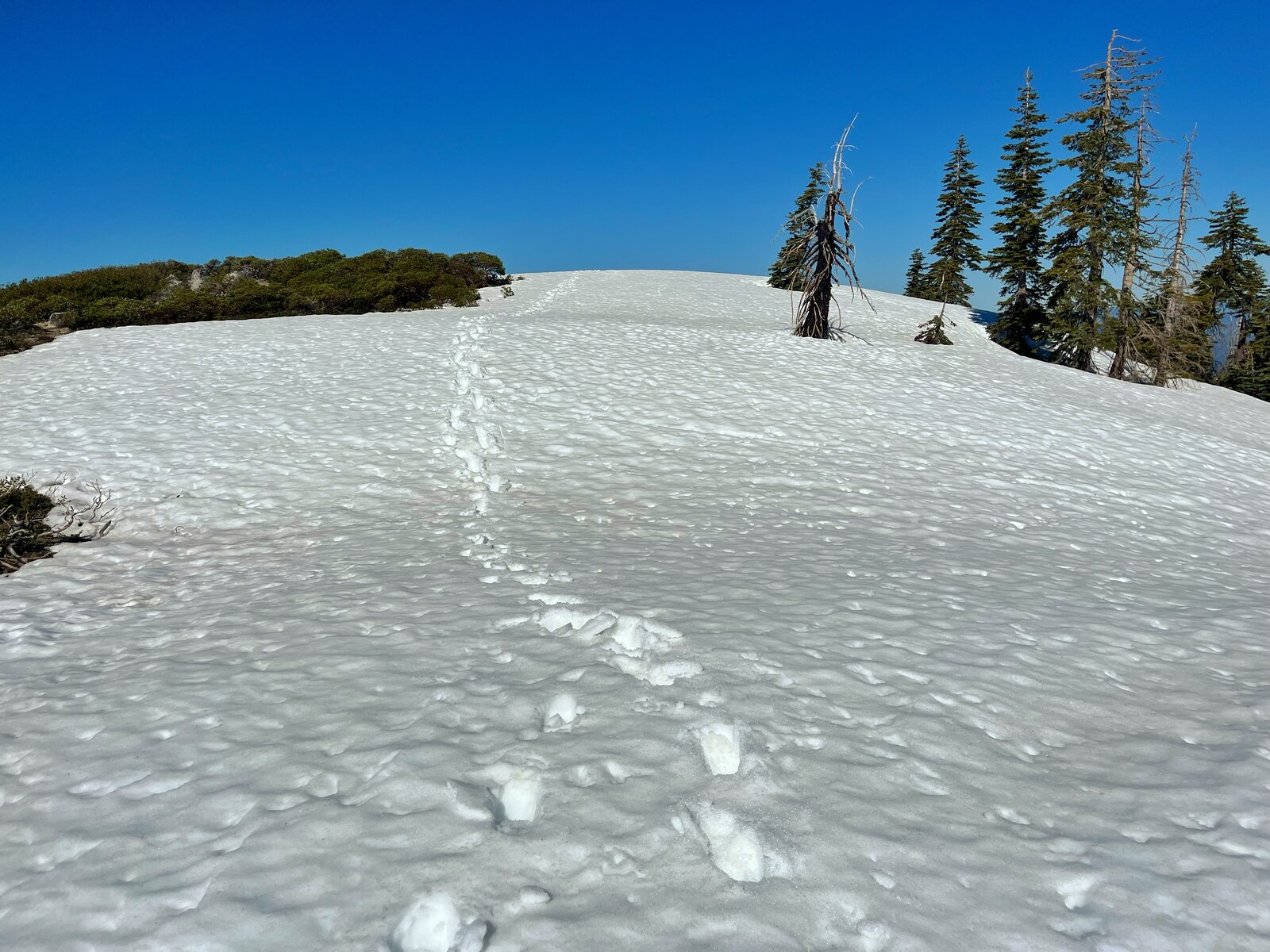
Patches of snow still lingered near the top even in May, holding on in the shaded pockets along the upper switchbacks. As the trees thinned out near the summit, the views opened up in every direction — Mount Shasta standing clear and white to the north, the snow-capped Trinity Alps to the west, and range after range of the Klamath Mountains rolling out toward the horizon.
The true payoff came on the summit itself, a small cluster of antenna buildings marking the high point at 6,199 feet, with Whiskeytown Lake spread out far below, its blue arms cutting through hillsides still recovering from the Carr Fire. A good place to sit, catch a breath after the climb, and take it all in before the long walk back down the same road.
A short but genuinely tough outing — steep enough from the first step to the last that it never really lets you settle into a rhythm, but with views at the top that make every one of those switchbacks worth it.
Comments