Mount Eddy
Third Ascent — June 21, 2026 — Most Recent
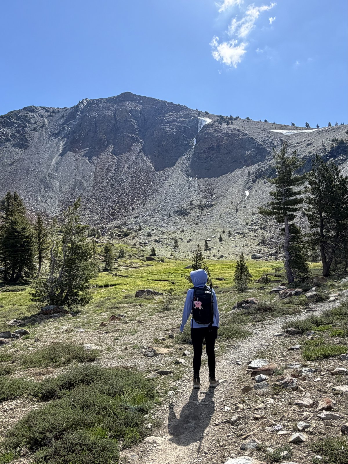
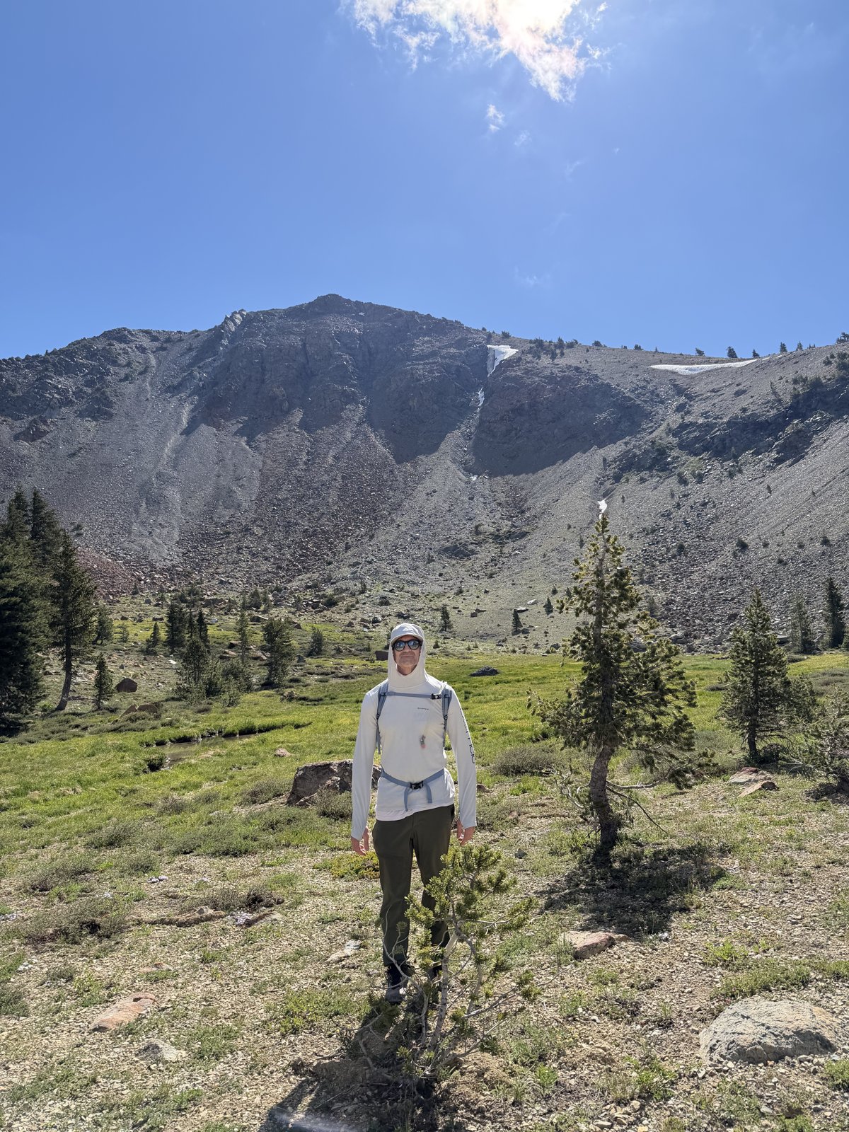
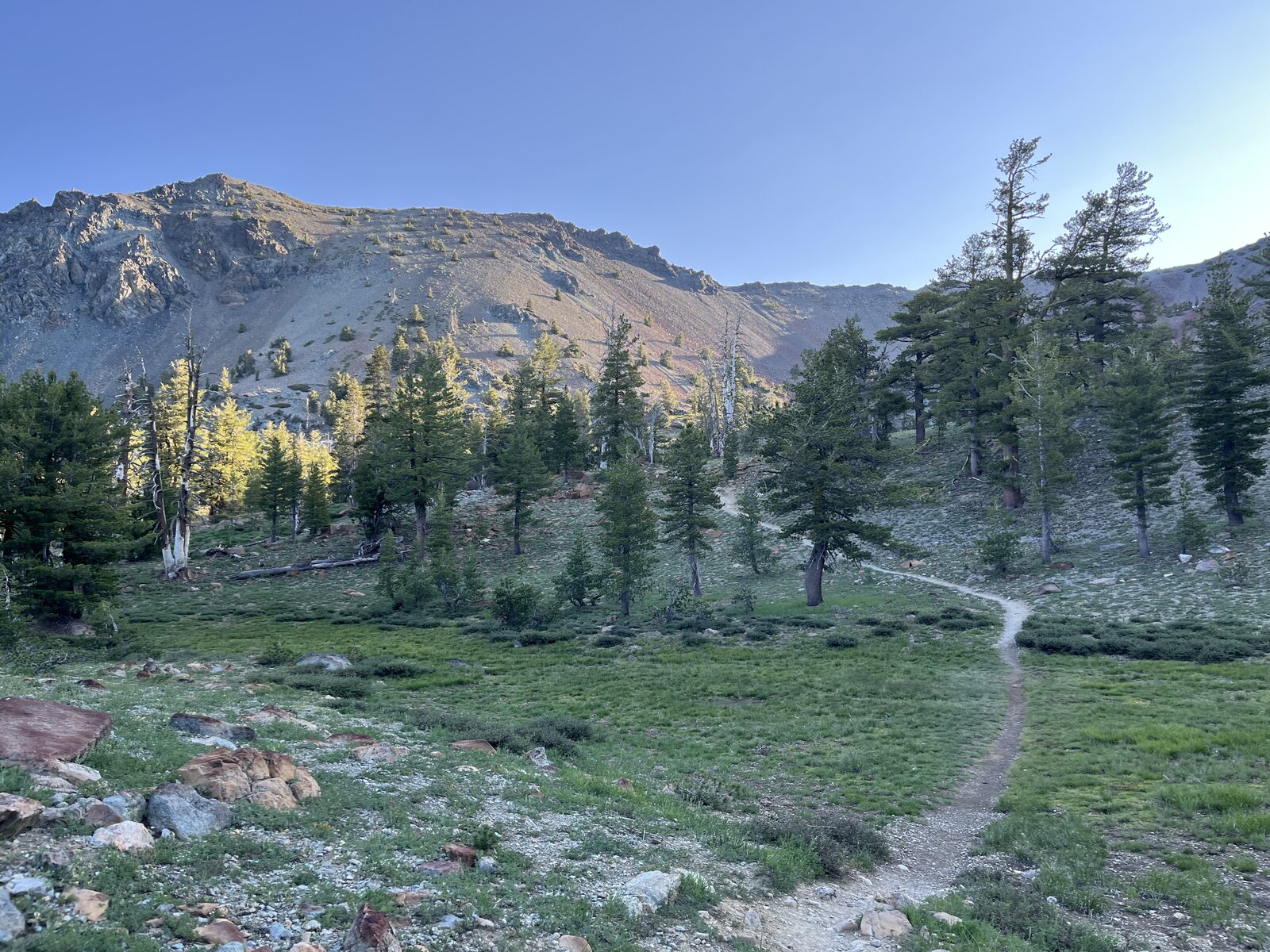
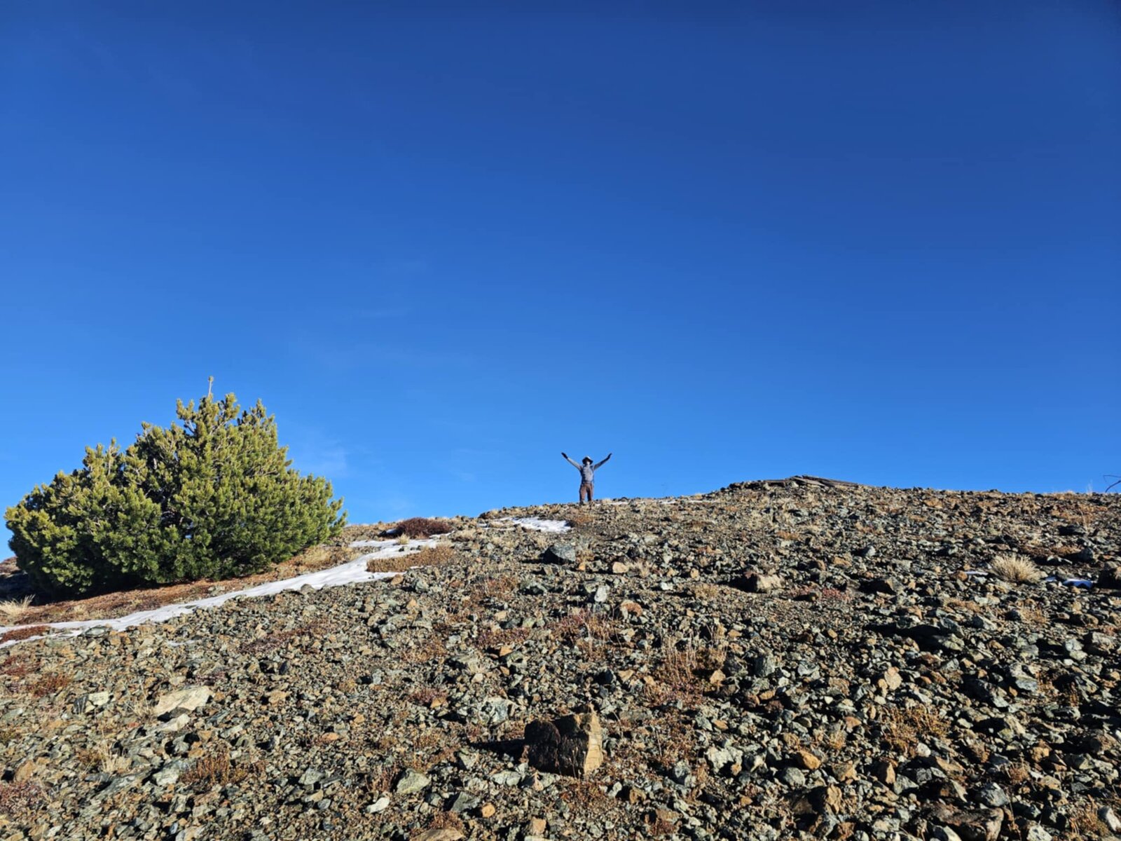
Great hike up Mount Eddy with mi Lupita, back on the longer Parks Creek route for a second trip up this summit together. The approach eased in through open meadow with Eddy's rocky, snow-streaked flank visible ahead the whole way, a mellow enough start before the real climbing began.
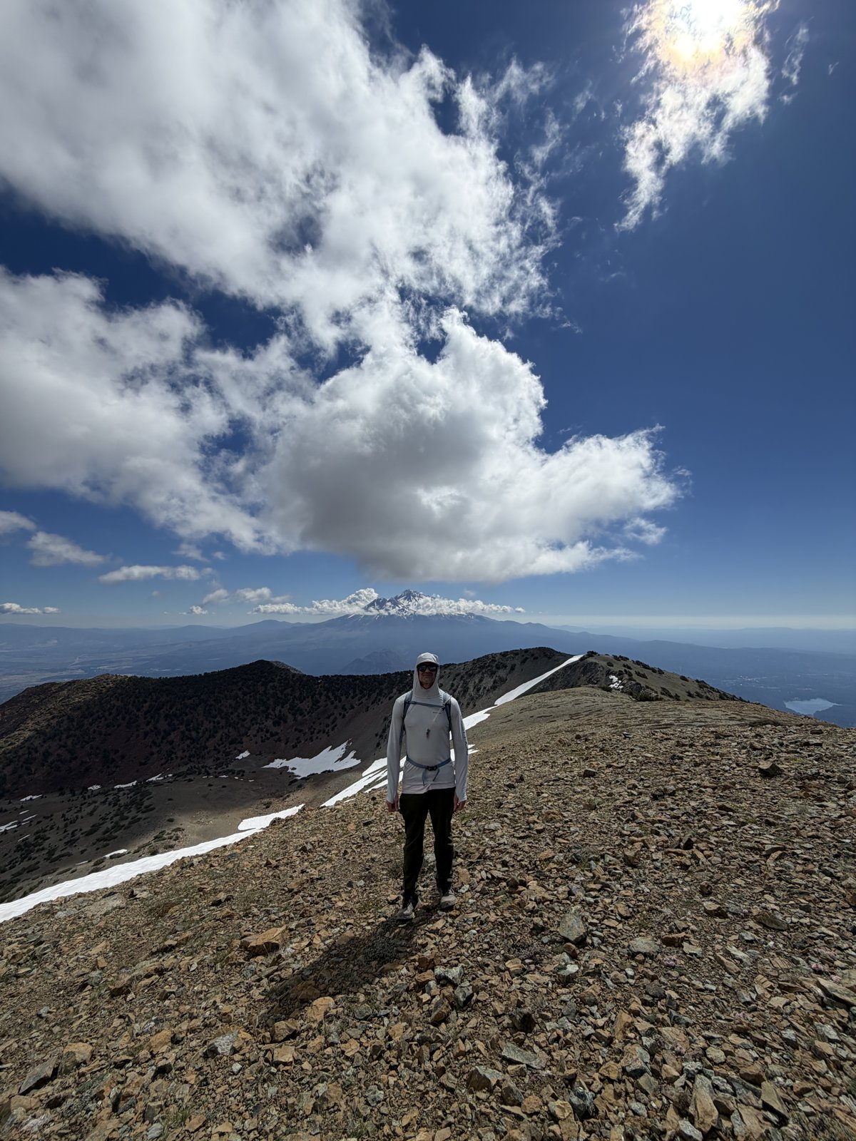
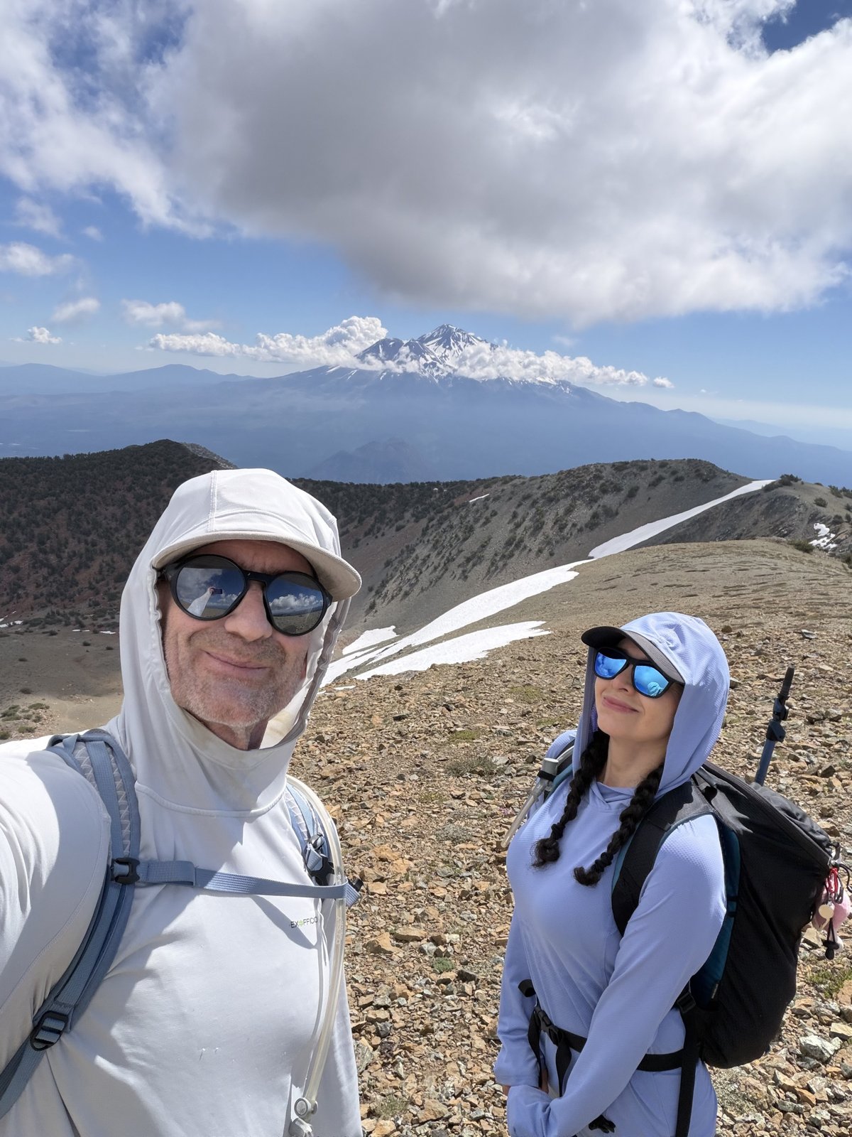
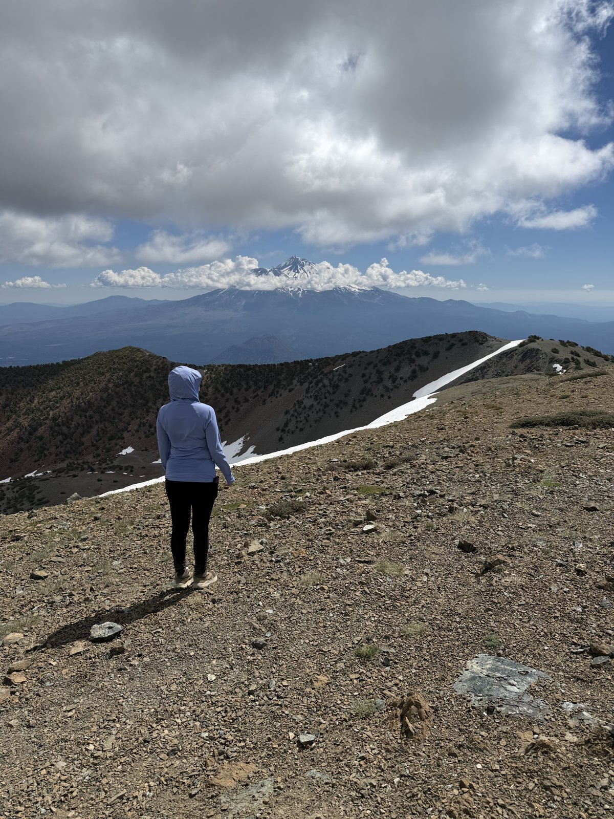
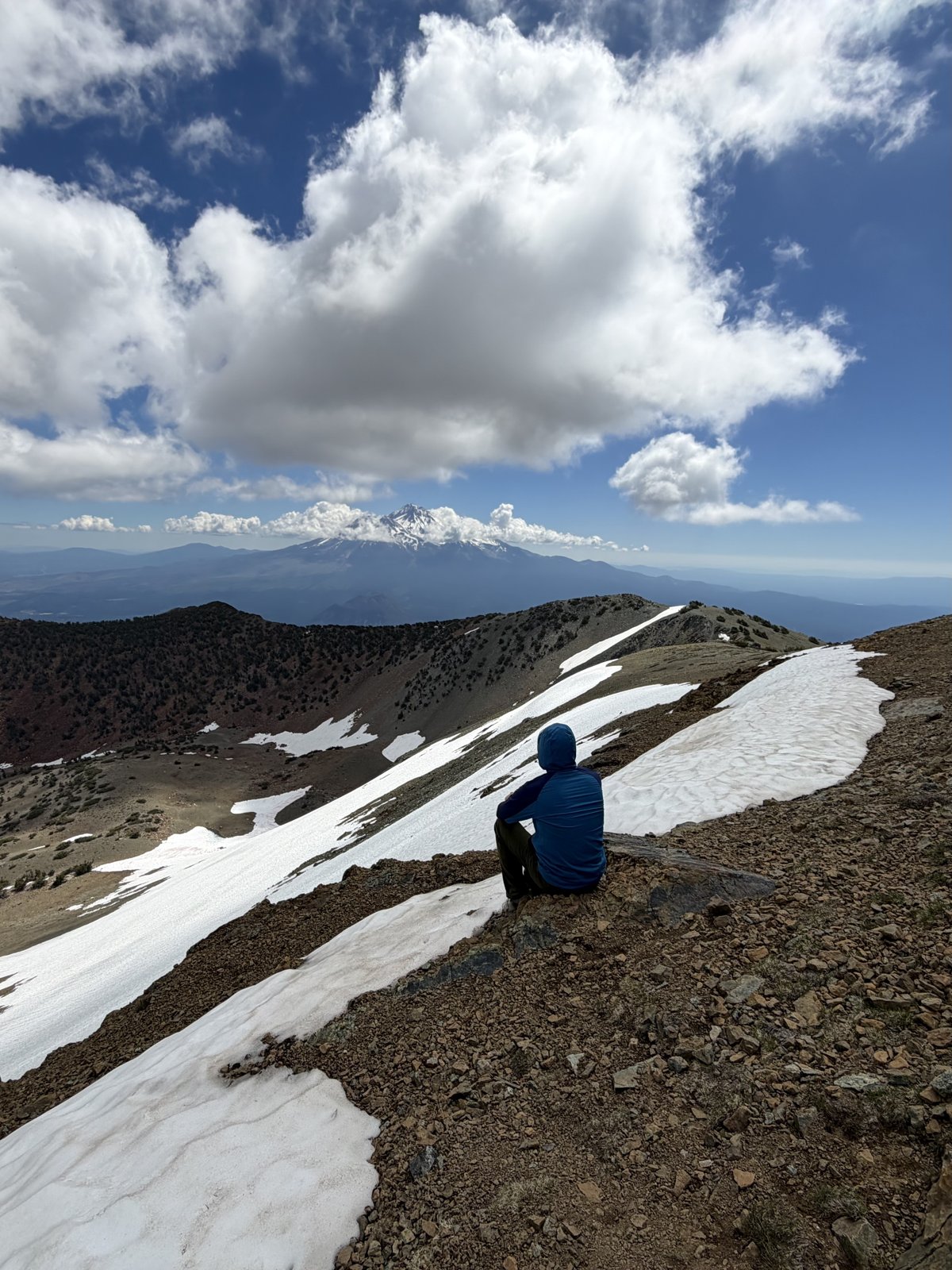
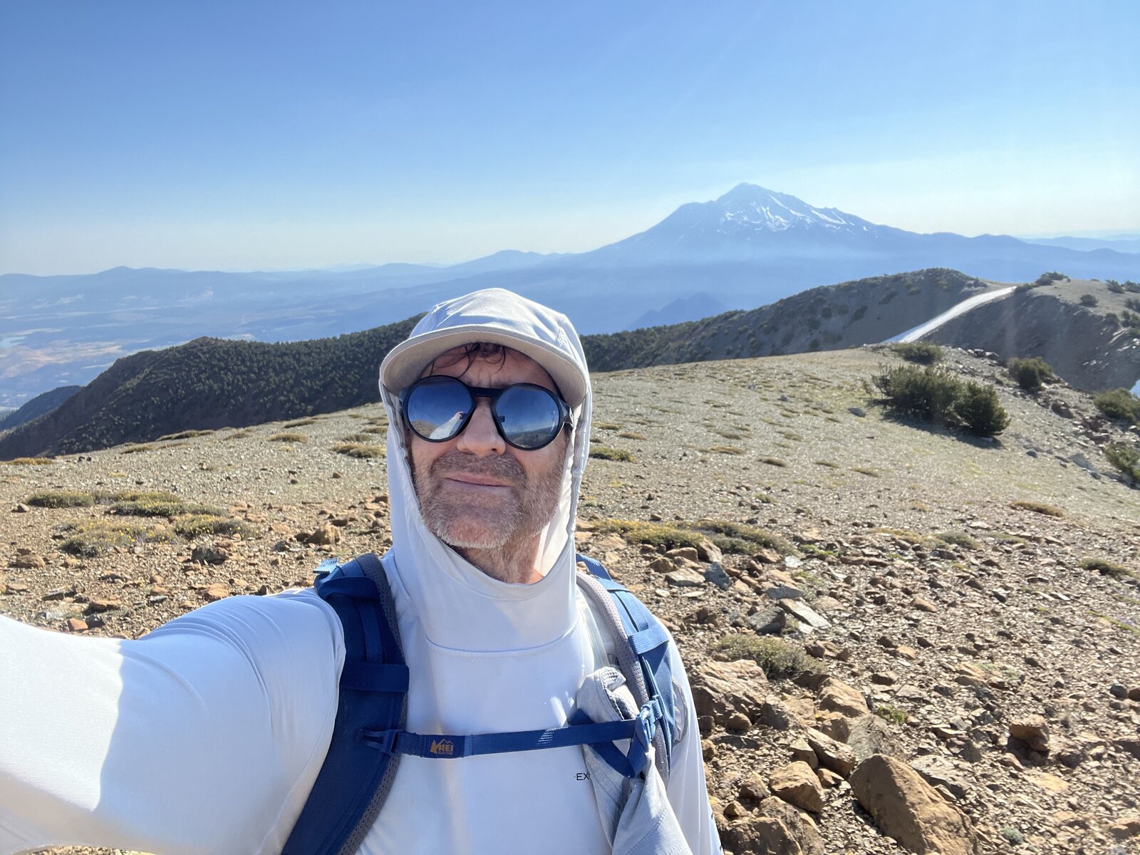
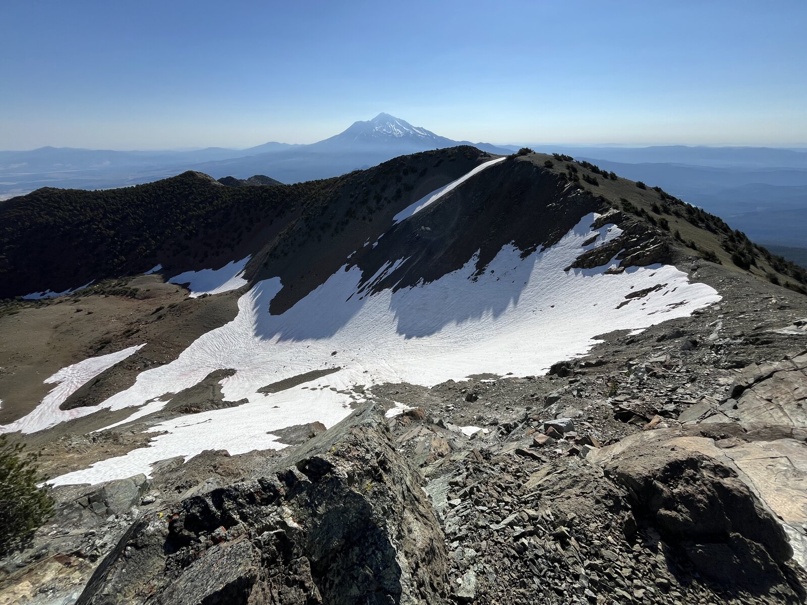
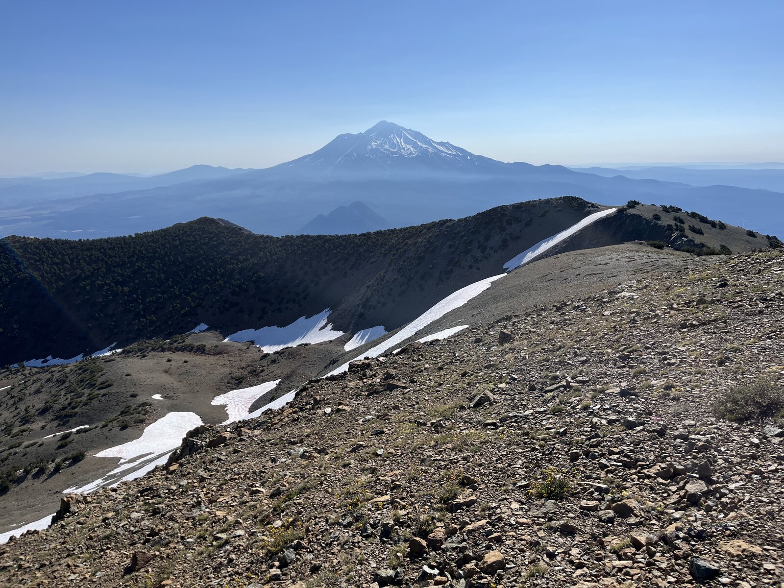
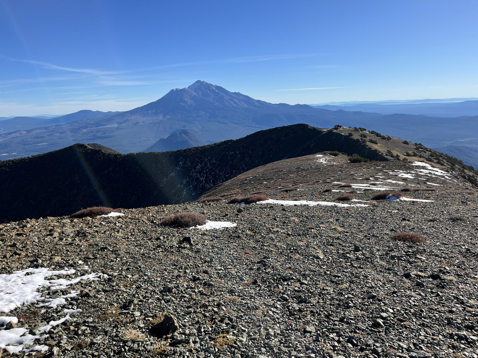
Big banks of cumulus clouds drifted through all afternoon, throwing shifting light and shadow across the ridge as the trail gained the summit push — Mount Shasta standing huge and snow-capped to the east, patches of lingering June snow still tucked into the shaded folds of the ridge nearby.
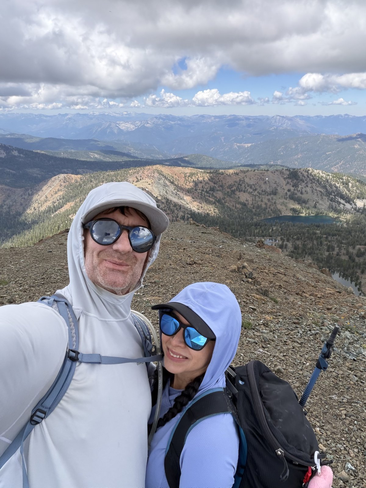
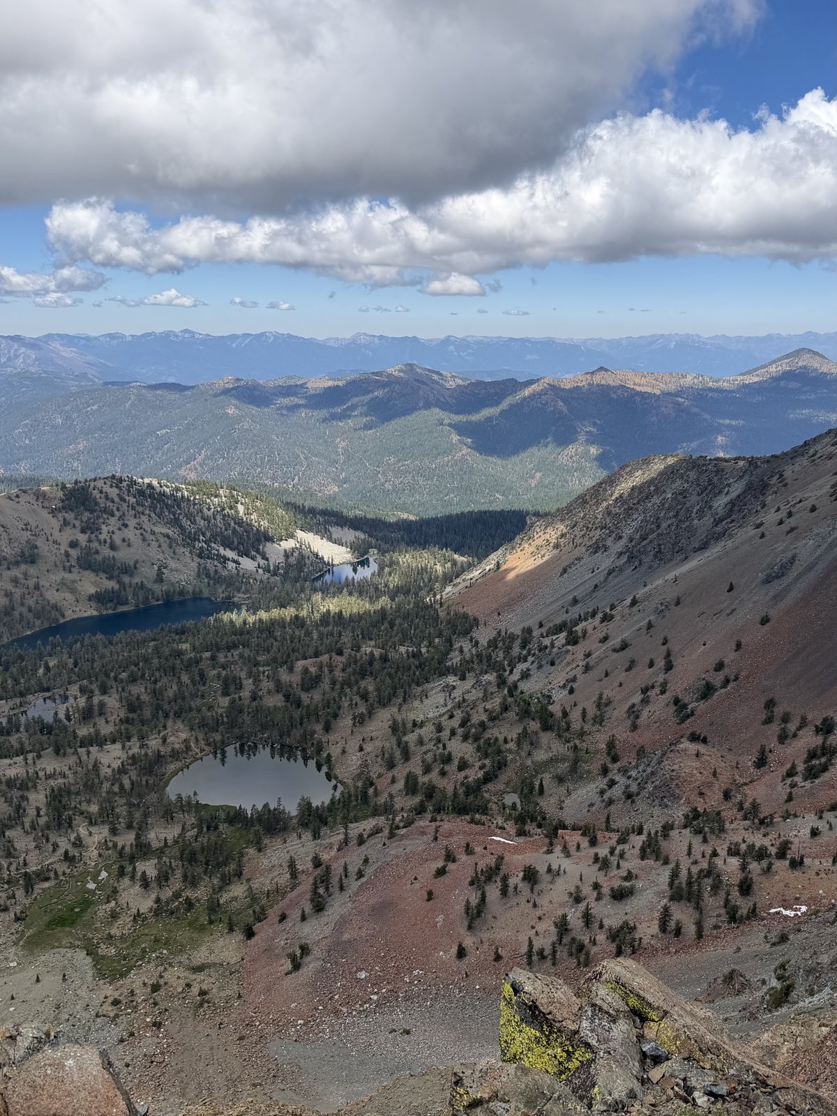
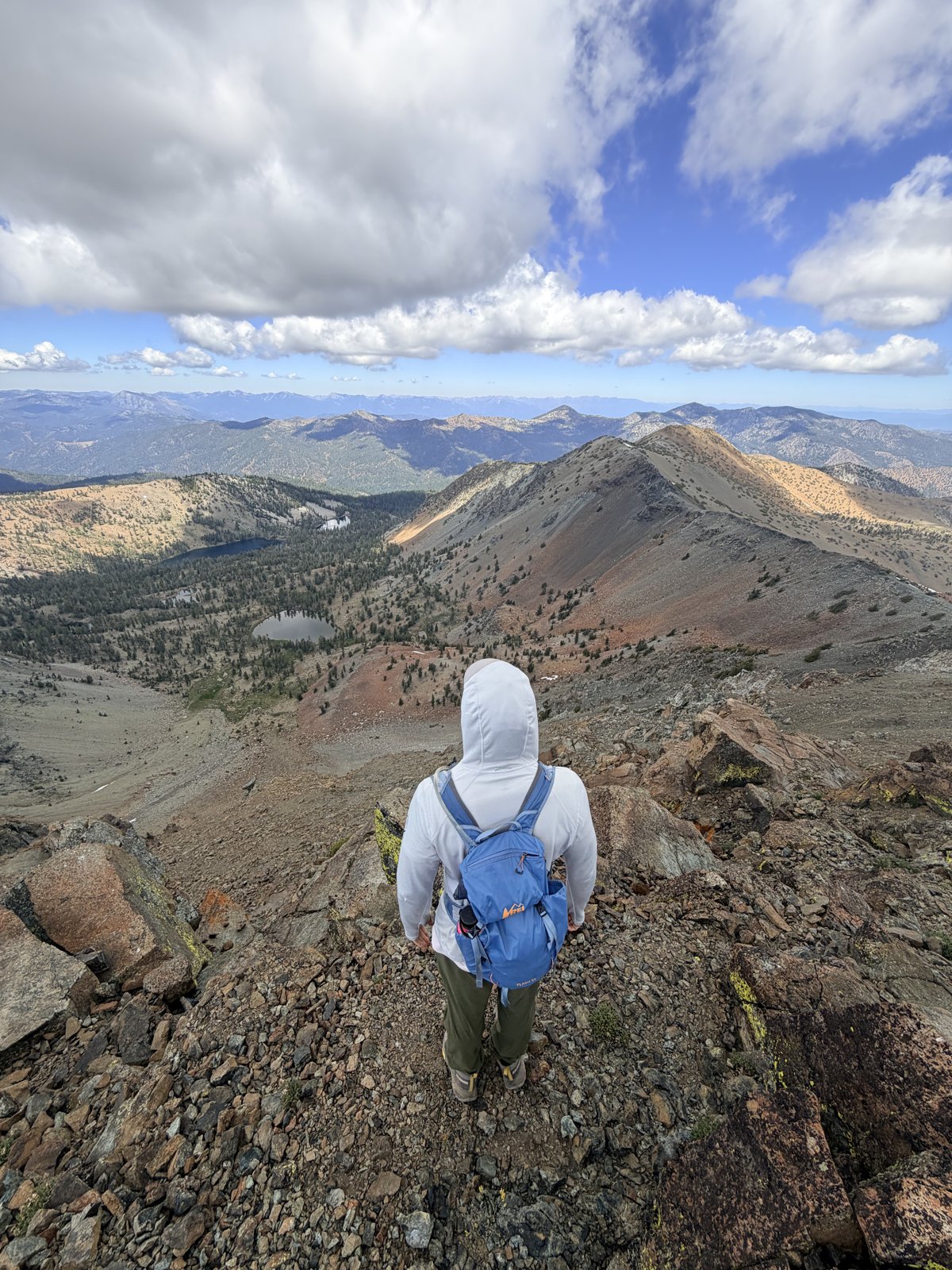
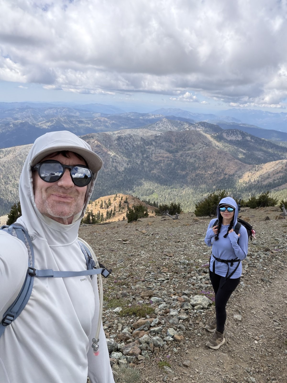
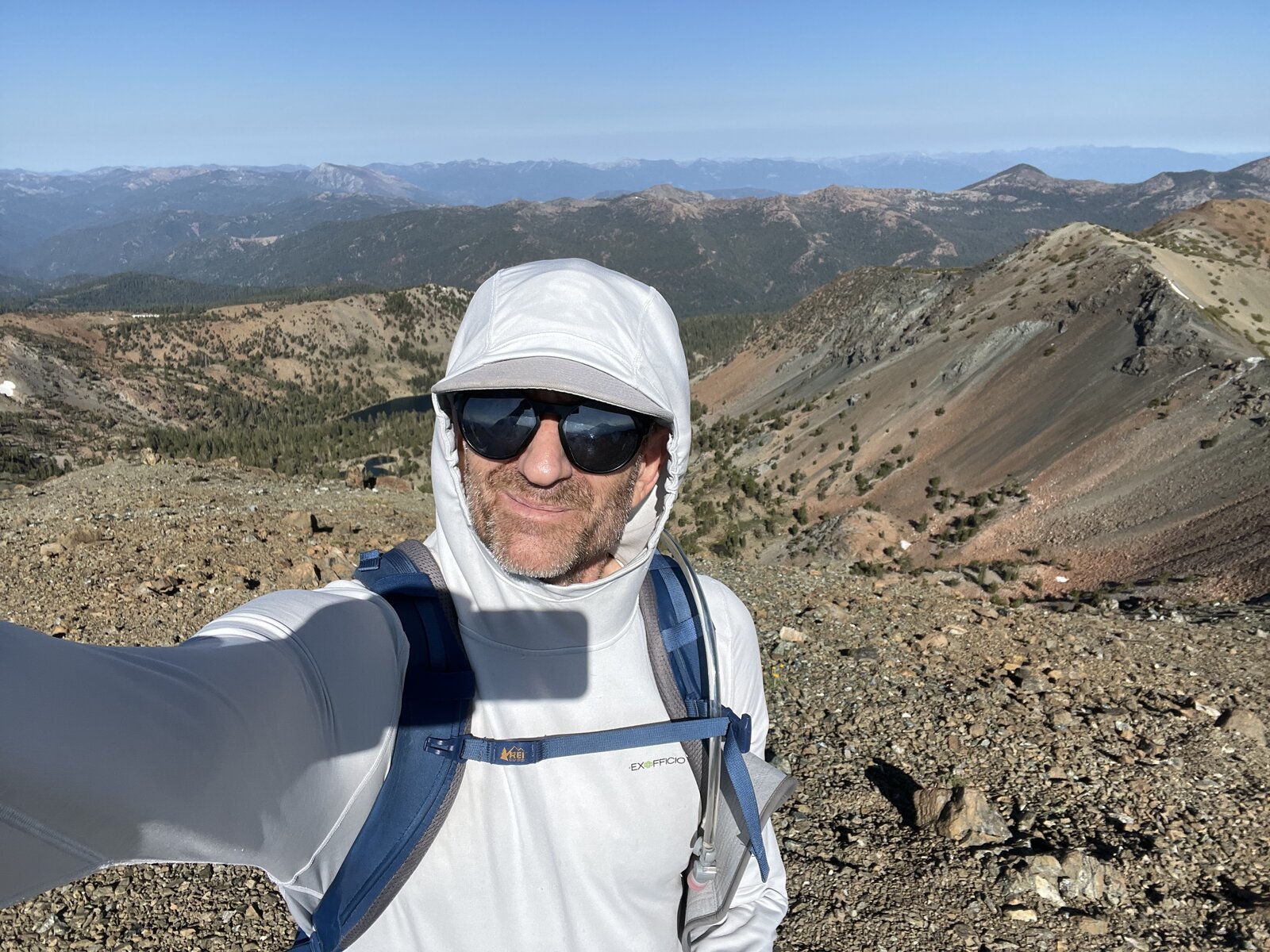
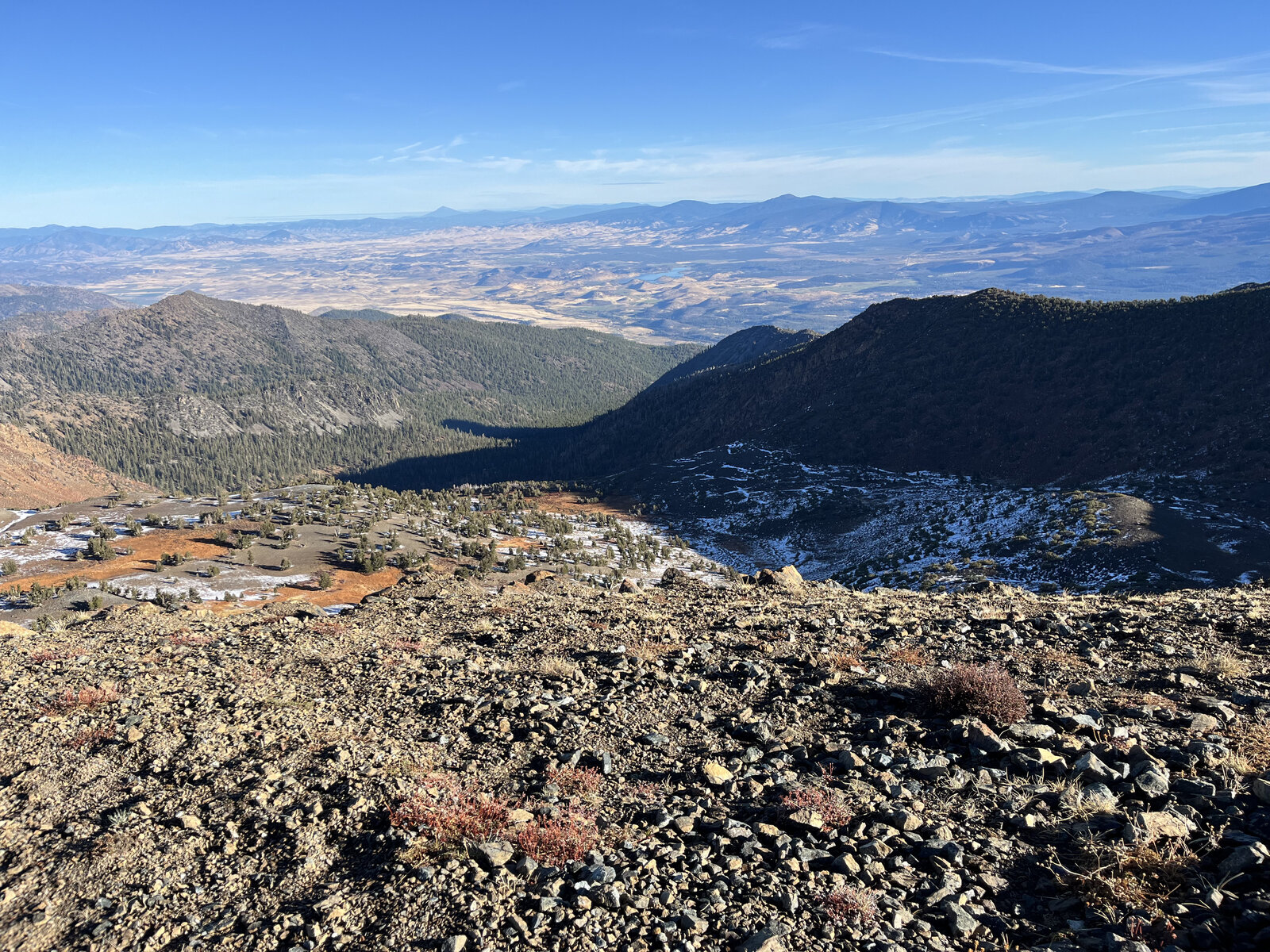
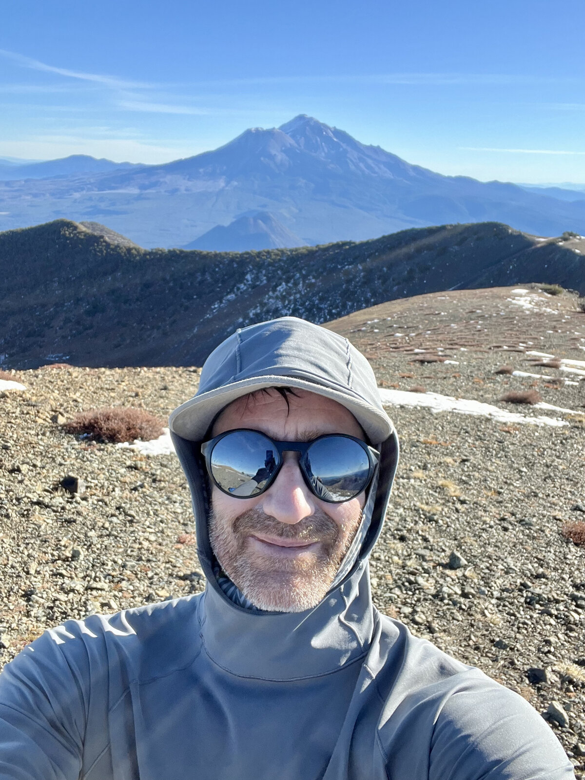
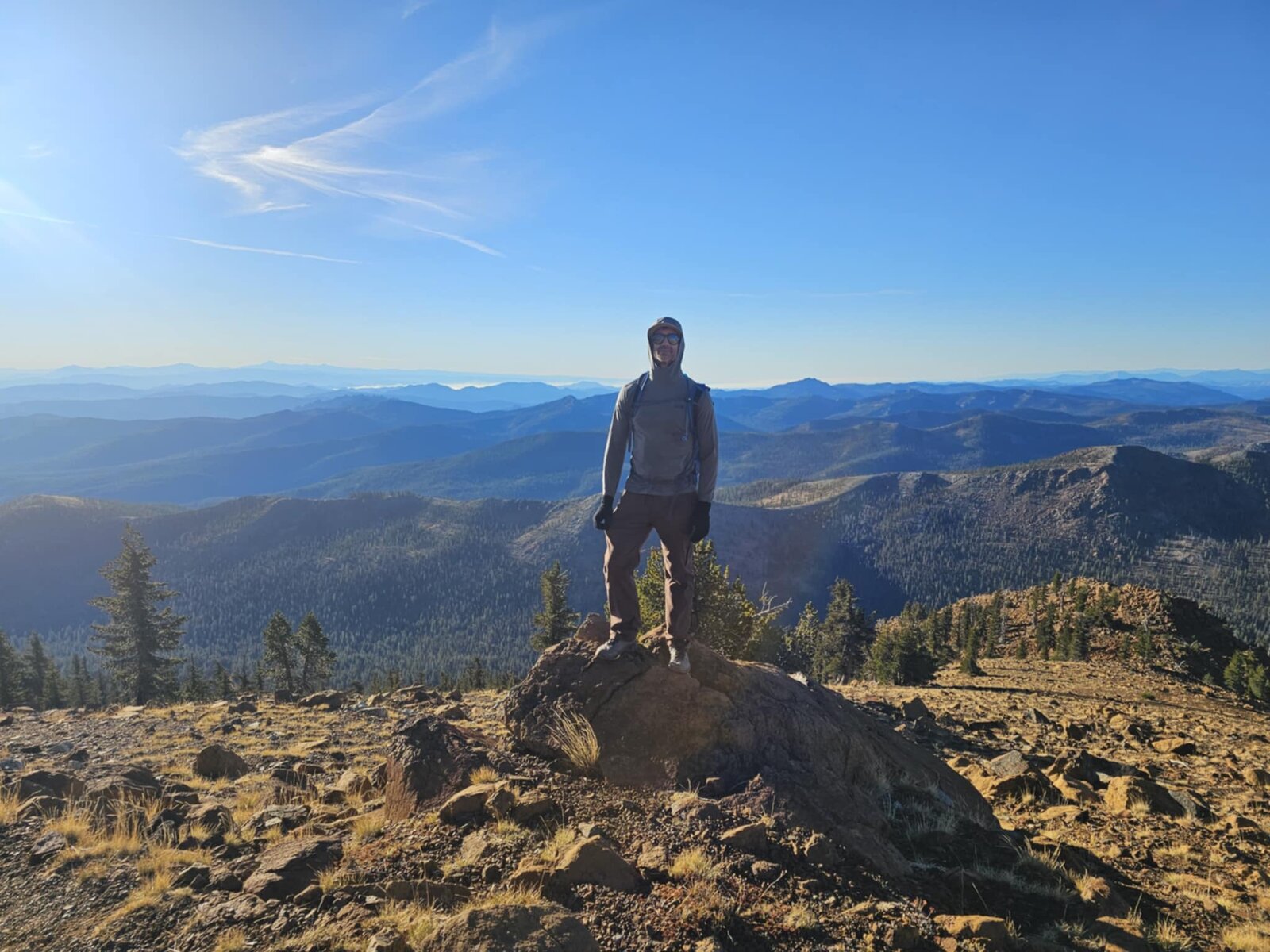
The summit delivered the same unbeatable payoff as the first time on this route: the Deadfall Lakes chain laid out far below in the basin, their still water catching the light between banks of cloud shadow, with the Trinity Divide rolling away in every other direction. Took the summit photos together, then a quiet moment looking out over the lakes before starting down.
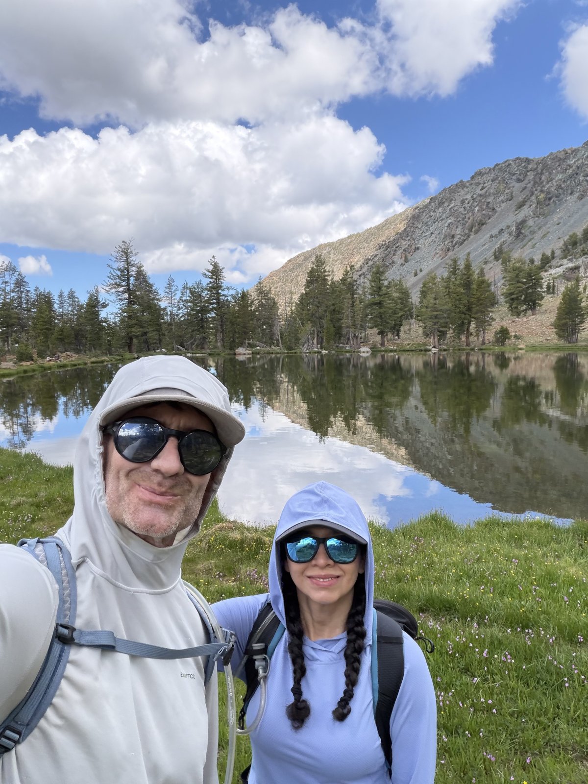
The way down brought its own reward — a stop at one of the Deadfall Lakes for a photo with the whole scene, forest and ridge, mirrored perfectly in the still water. A long day out and back to Parks Creek, but a genuinely great one shared with good company.
Second Ascent — July 12, 2025
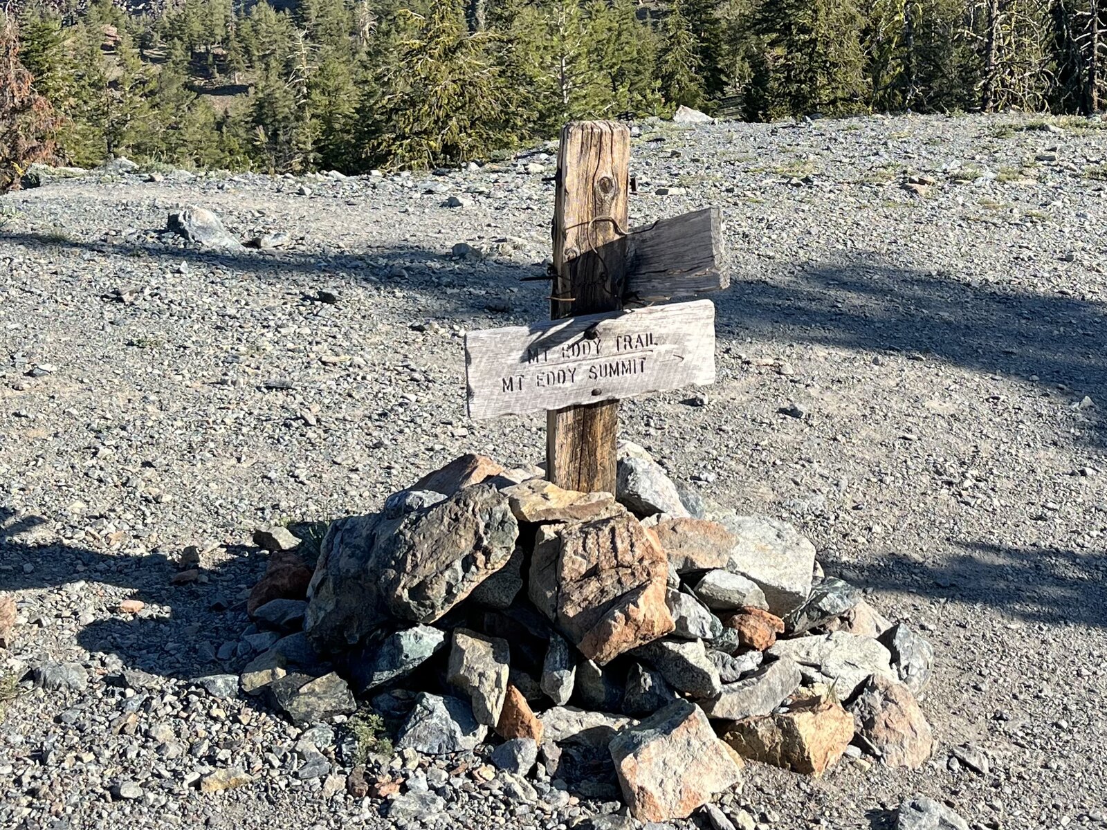
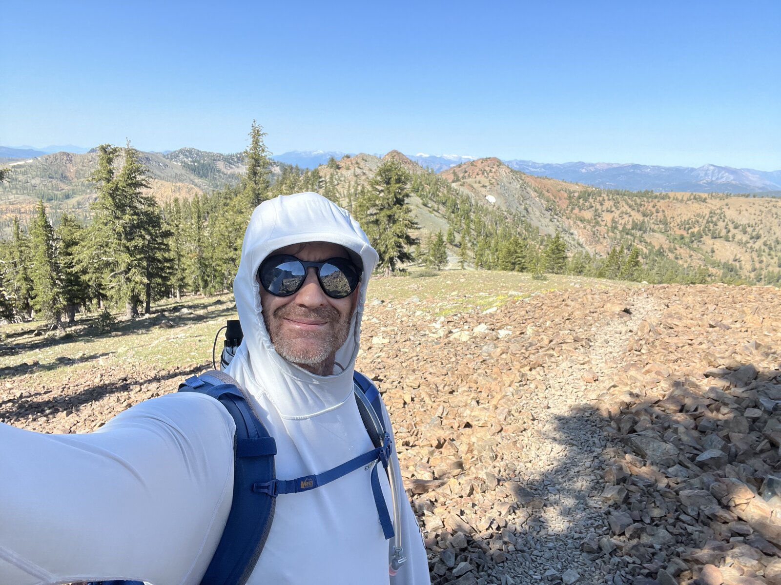
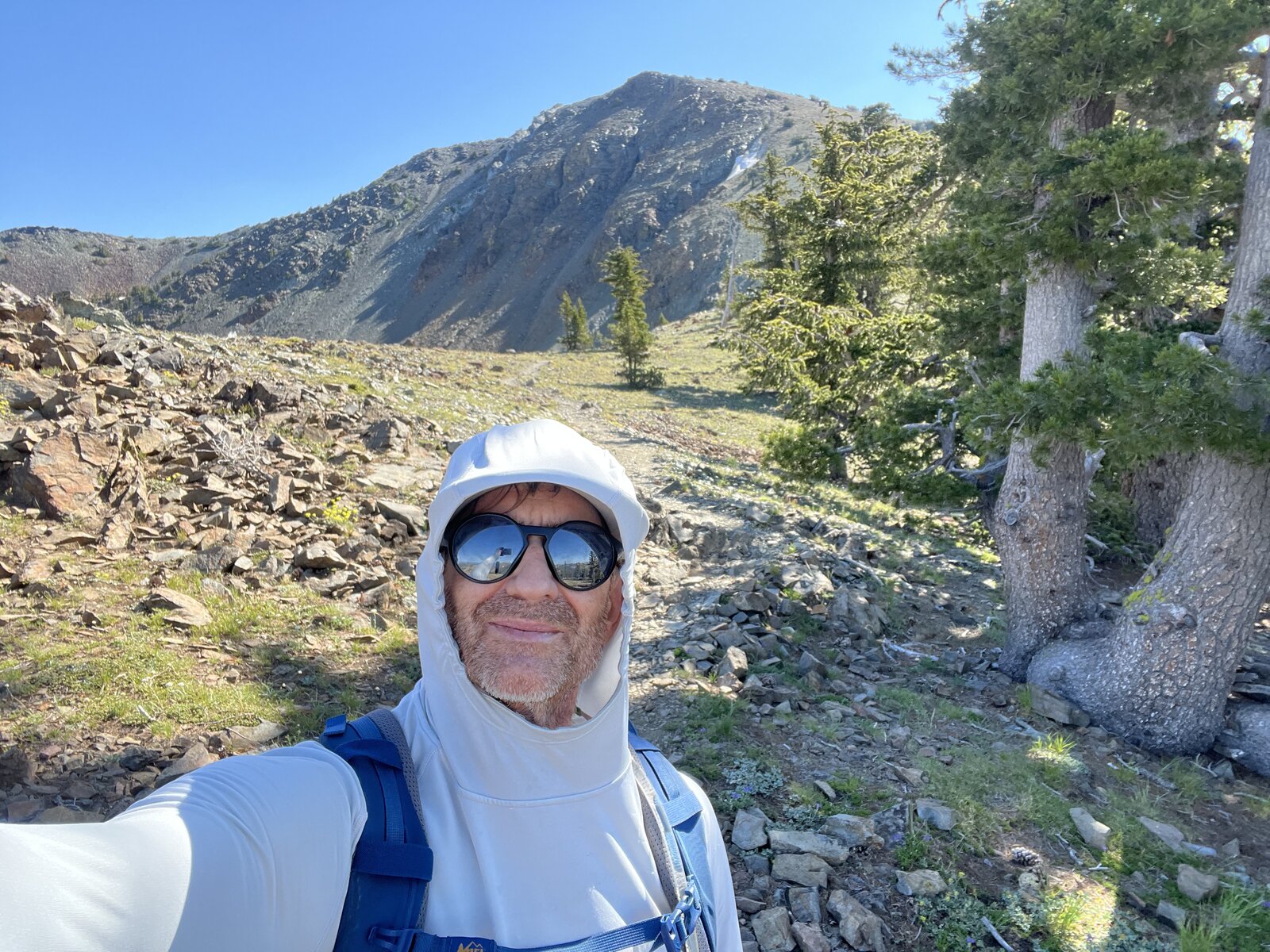
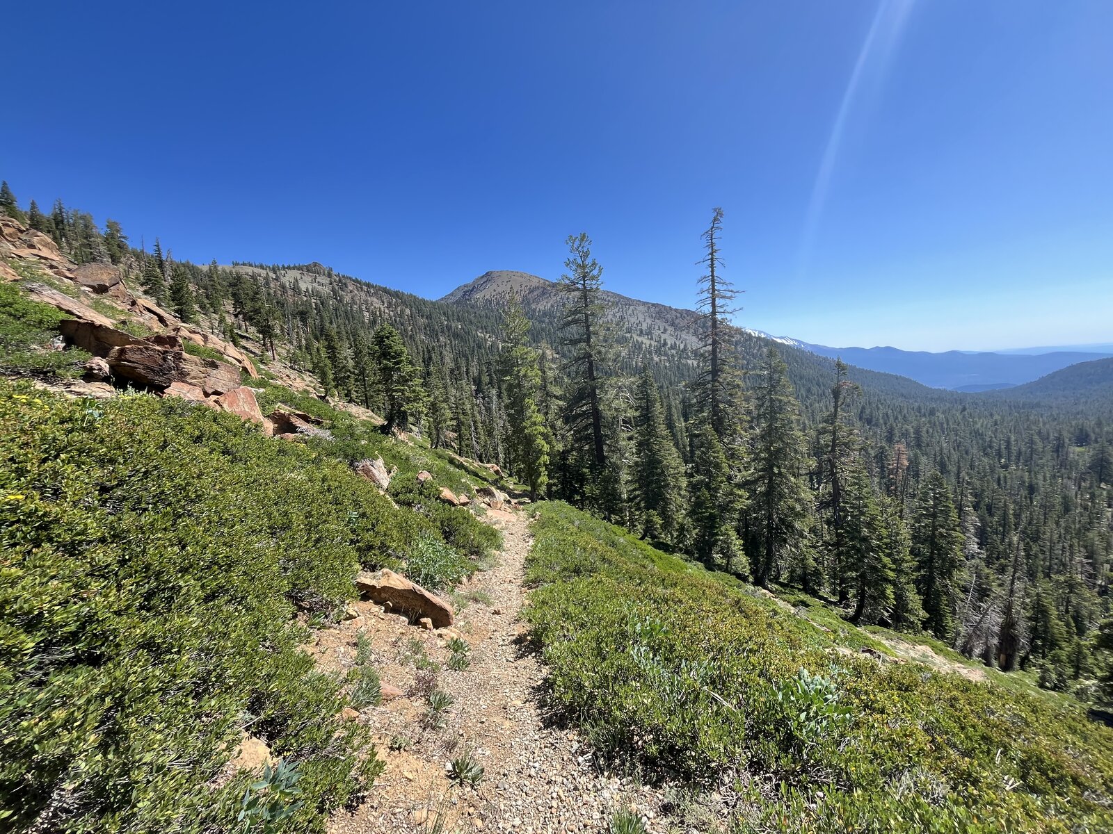
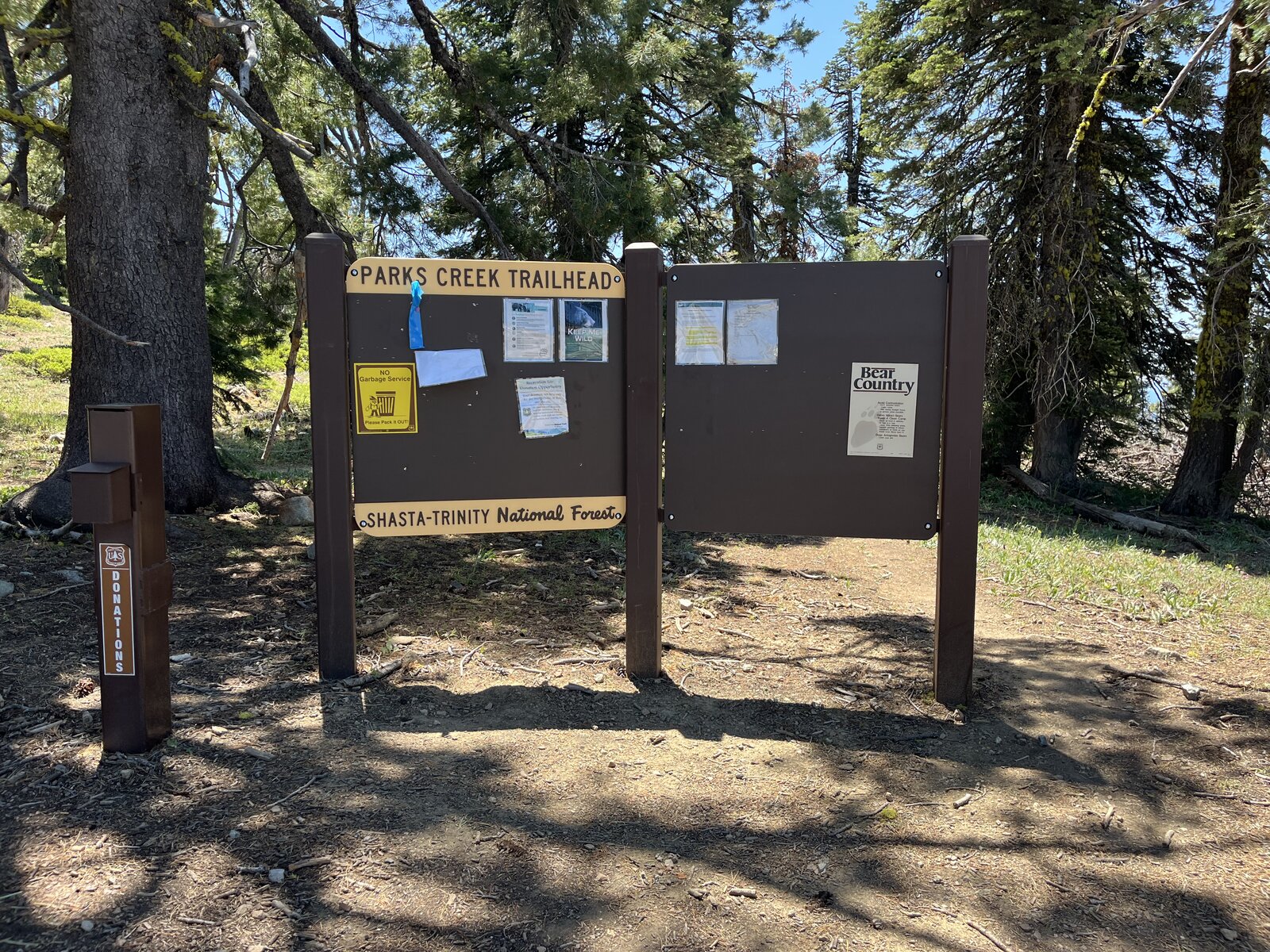
Back to Mount Eddy again, this time starting and finishing at the Parks Creek Trailhead instead of Deadfall Meadow — a longer approach that turned the day into a full 15.43 miles with 3,658 feet of gain, well beyond the shorter Deadfall Lakes route from the first visit. The trail eased in through open meadow and scattered timber before climbing toward the ridgeline, a wooden trail marker standing alone against the gravel near treeline.
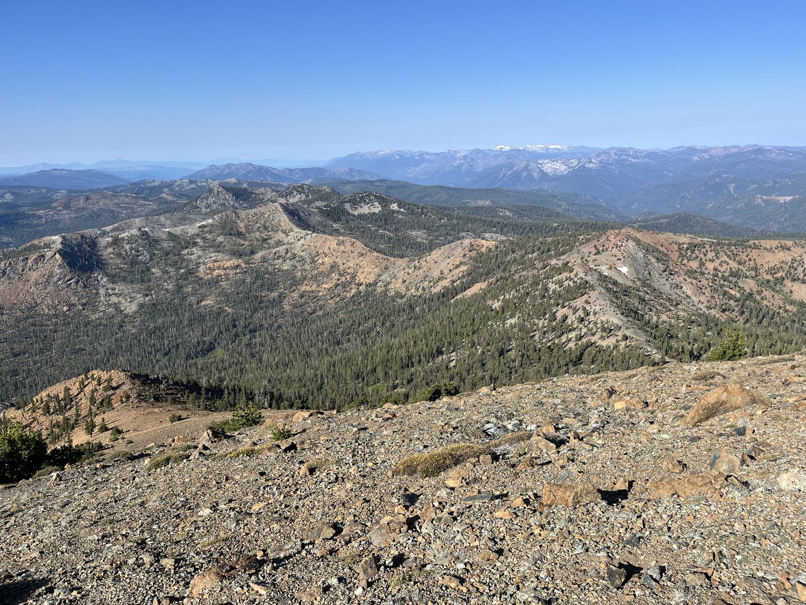
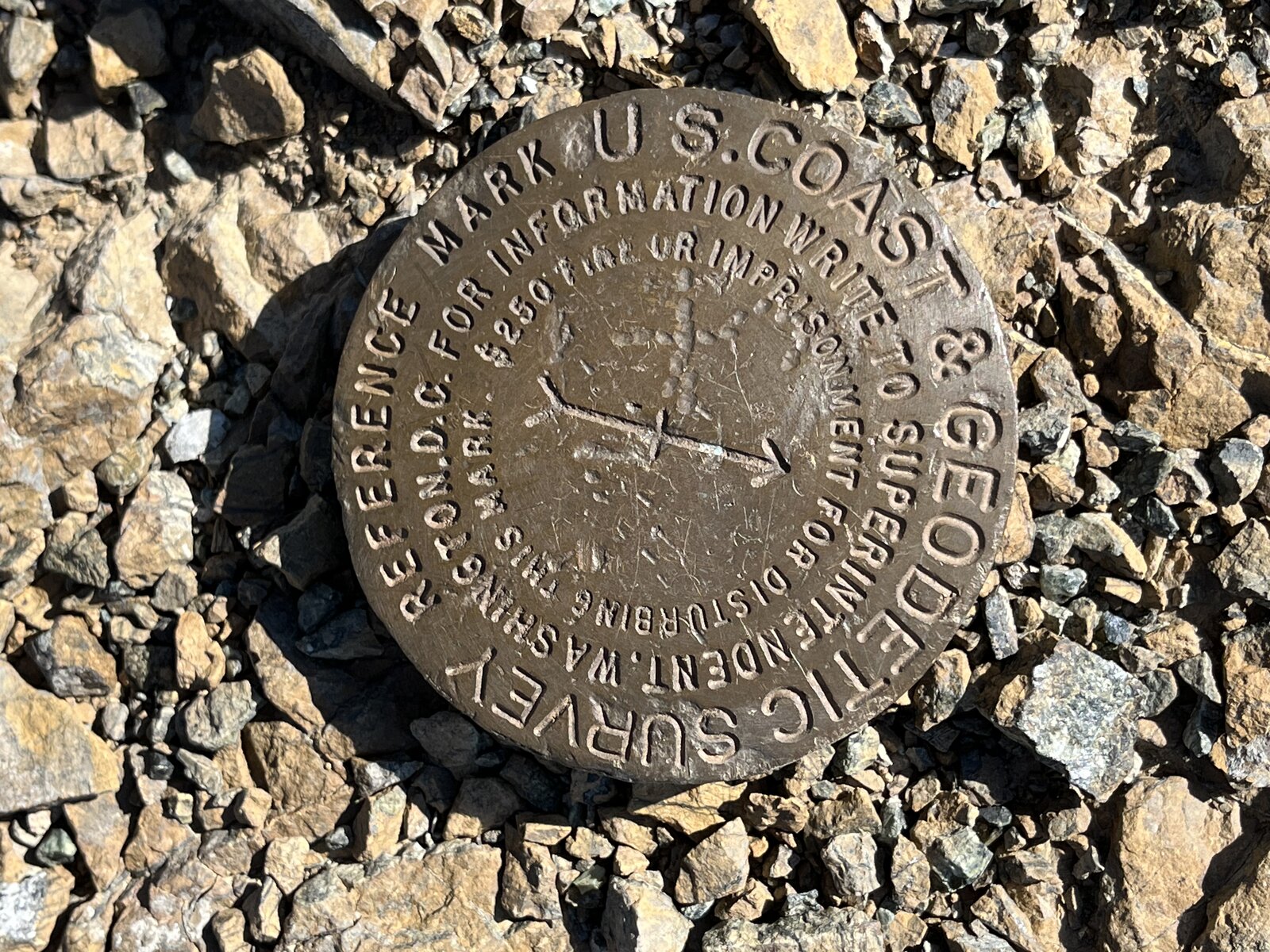
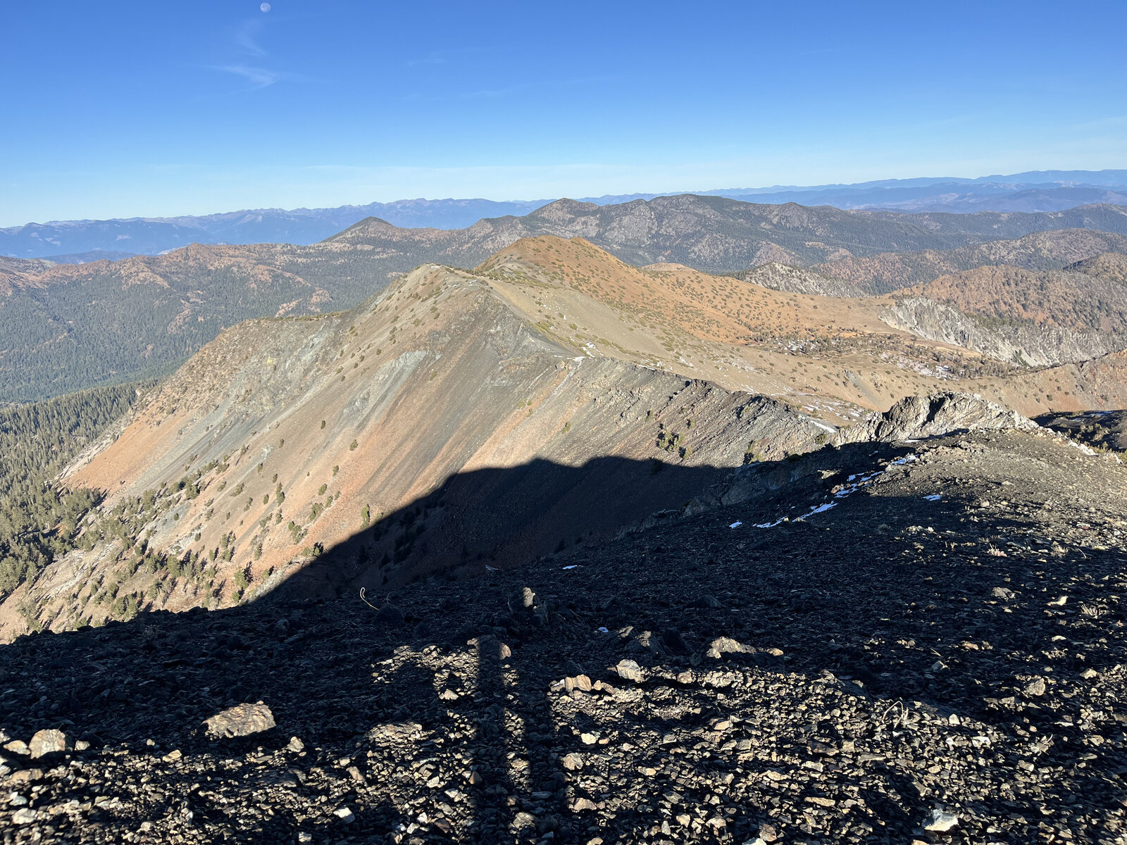
The ridge walk toward the summit delivered long, open views the whole way — Mount Shasta standing clear on the horizon for most of the final stretch, with patches of lingering snow still tucked into the north-facing slopes despite the July date. The summit itself was as good as remembered: the old USC&GS benchmark disk cemented into the rock, and Shasta filling the skyline close enough to feel its scale all over again.
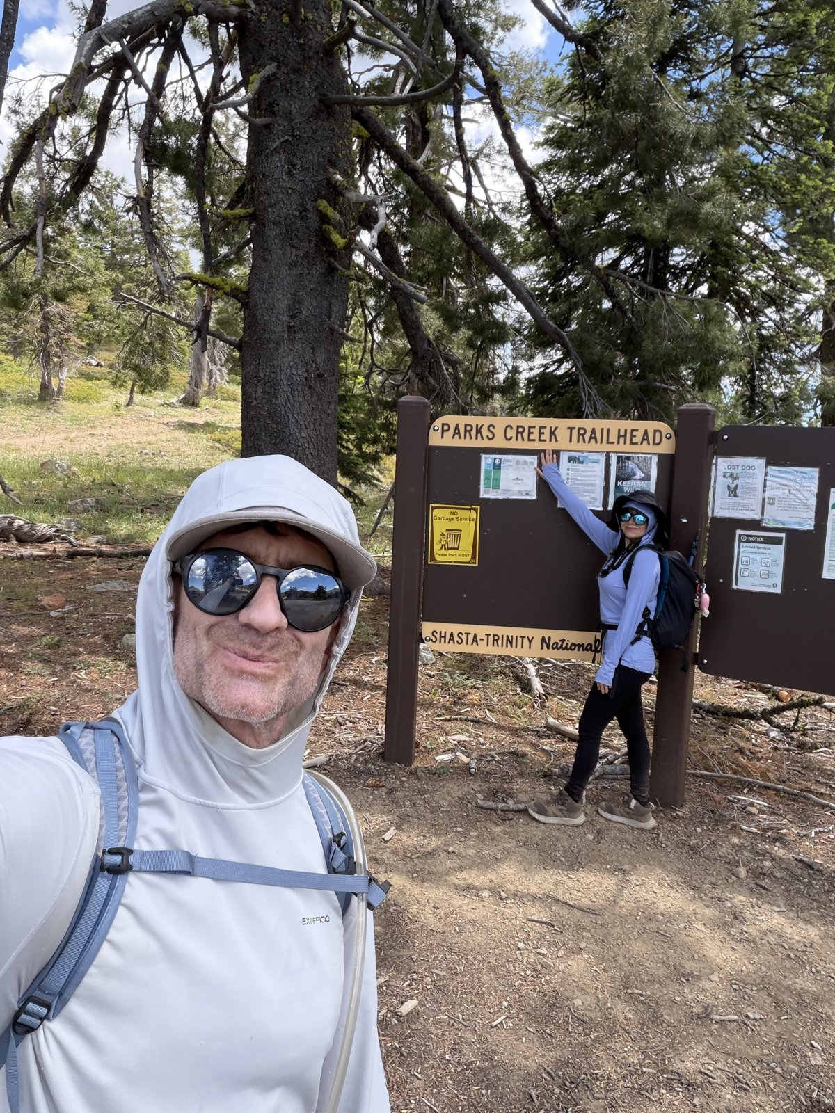
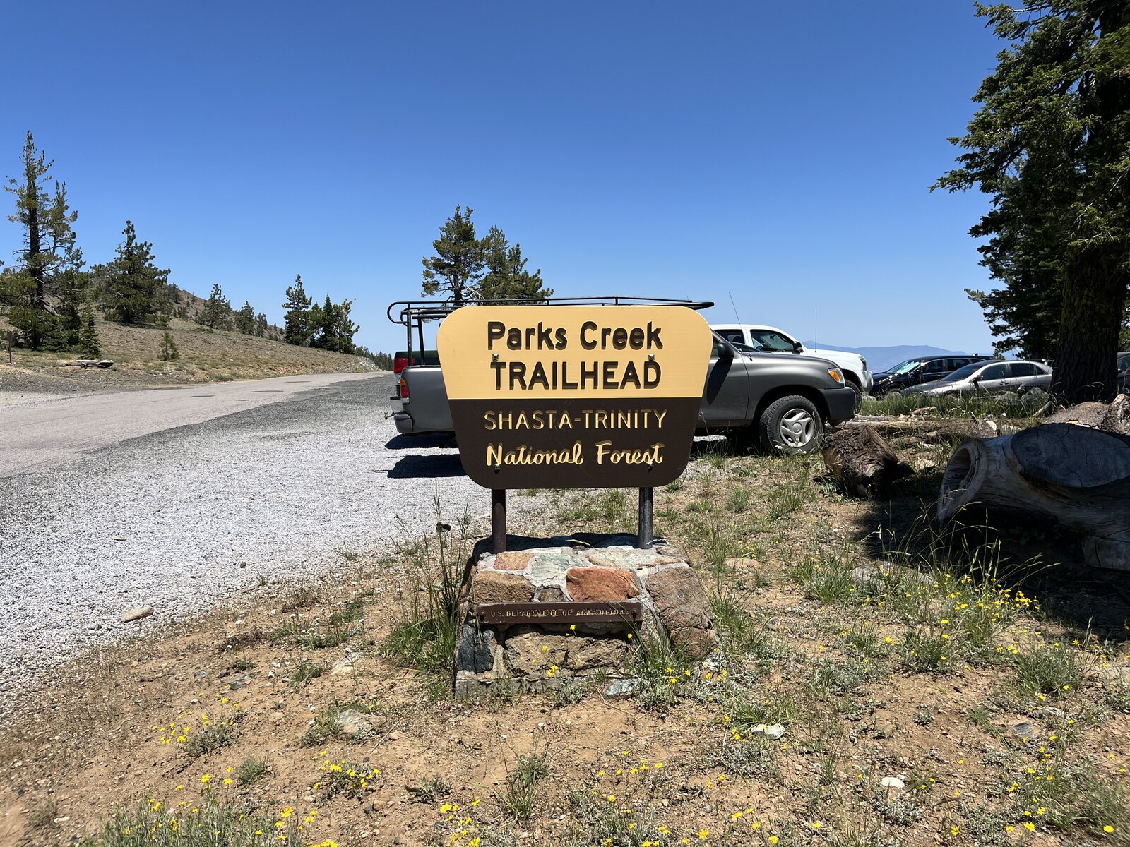
The way back down and out to Parks Creek stretched the day out well past what the shorter loop asks for, the trail winding through forest and open ridge in the long evening light before finally reaching the Parks Creek Trailhead sign as the day wound down. A genuinely different way to experience the same summit — longer, quieter, and just as rewarding as the first time up.
First Ascent — October 19, 2024
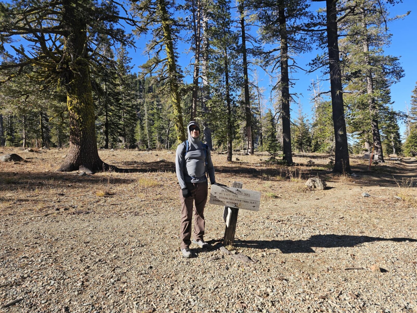
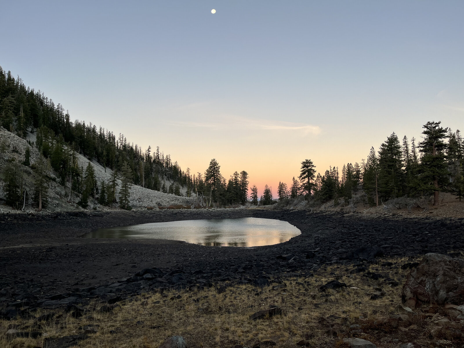
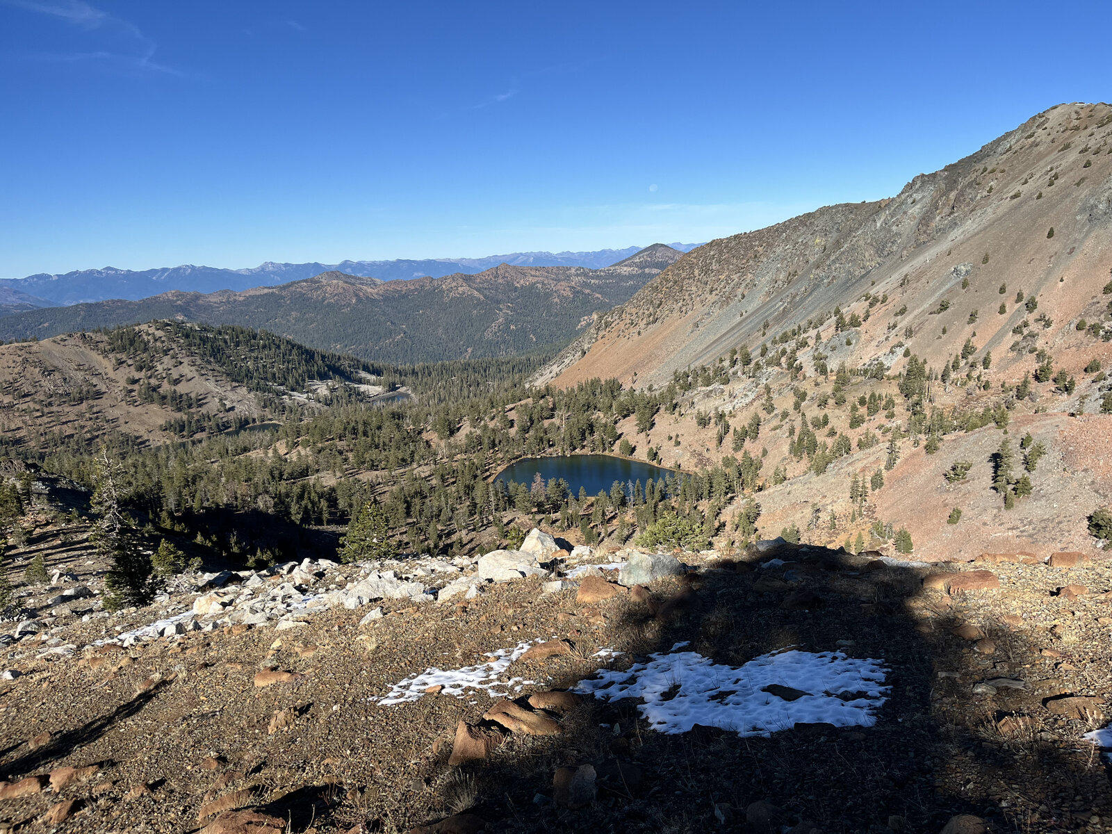
It was a beautiful morning hike through Deadfall Lakes up to the summit of Mount Eddy. The trail starts from the Deadfall Meadow Trailhead and eases in gently, following the Pacific Crest Trail through red and white fir before climbing past a chain of alpine lakes — Lower, Middle, and Upper Deadfall Lake — each one a still, clear pool set against the reddish, iron-stained rock of Eddy's western flank. Early enough in the morning, the moon was still hanging over one of the drying lakebeds, the sky just starting to color at the edges.
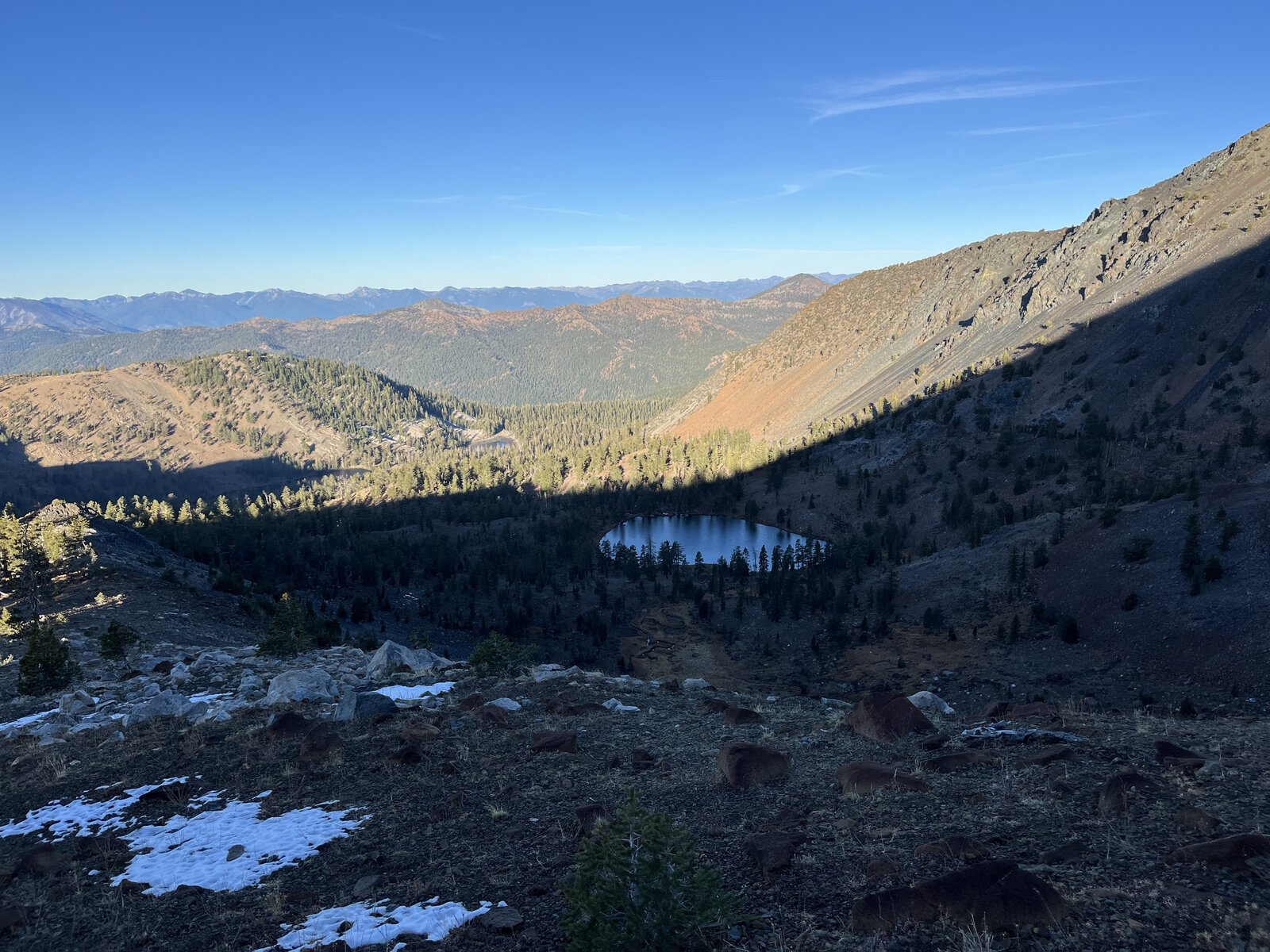
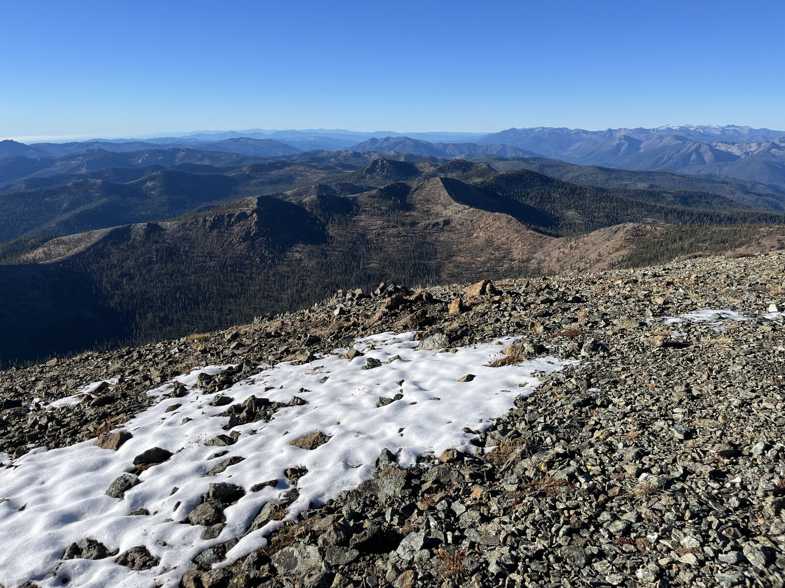
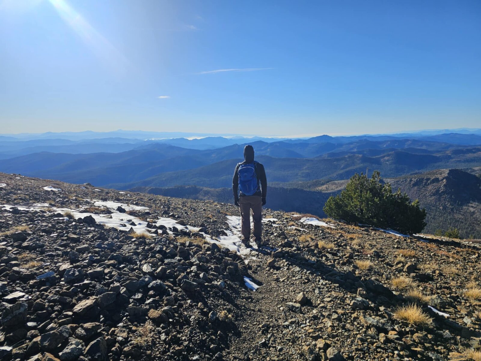
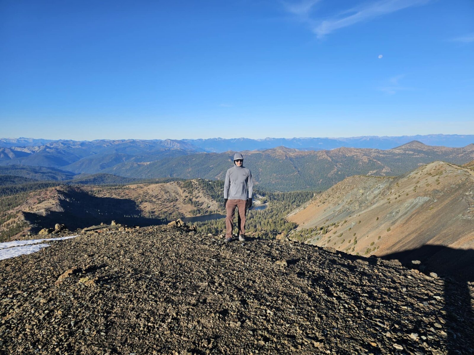
Above the lakes, the trail climbs out of the trees toward Deadfall Summit and picks up the Mount Eddy Trail proper for the final push — a straightforward but relentless set of switchbacks up loose, colorful metamorphic rock, with scattered patches of snow still holding on in shaded pockets despite the mild October day. Looking back down over the switchbacks, Middle Deadfall Lake was framed perfectly in the basin below, with the Trinity Alps rising on the horizon beyond it.
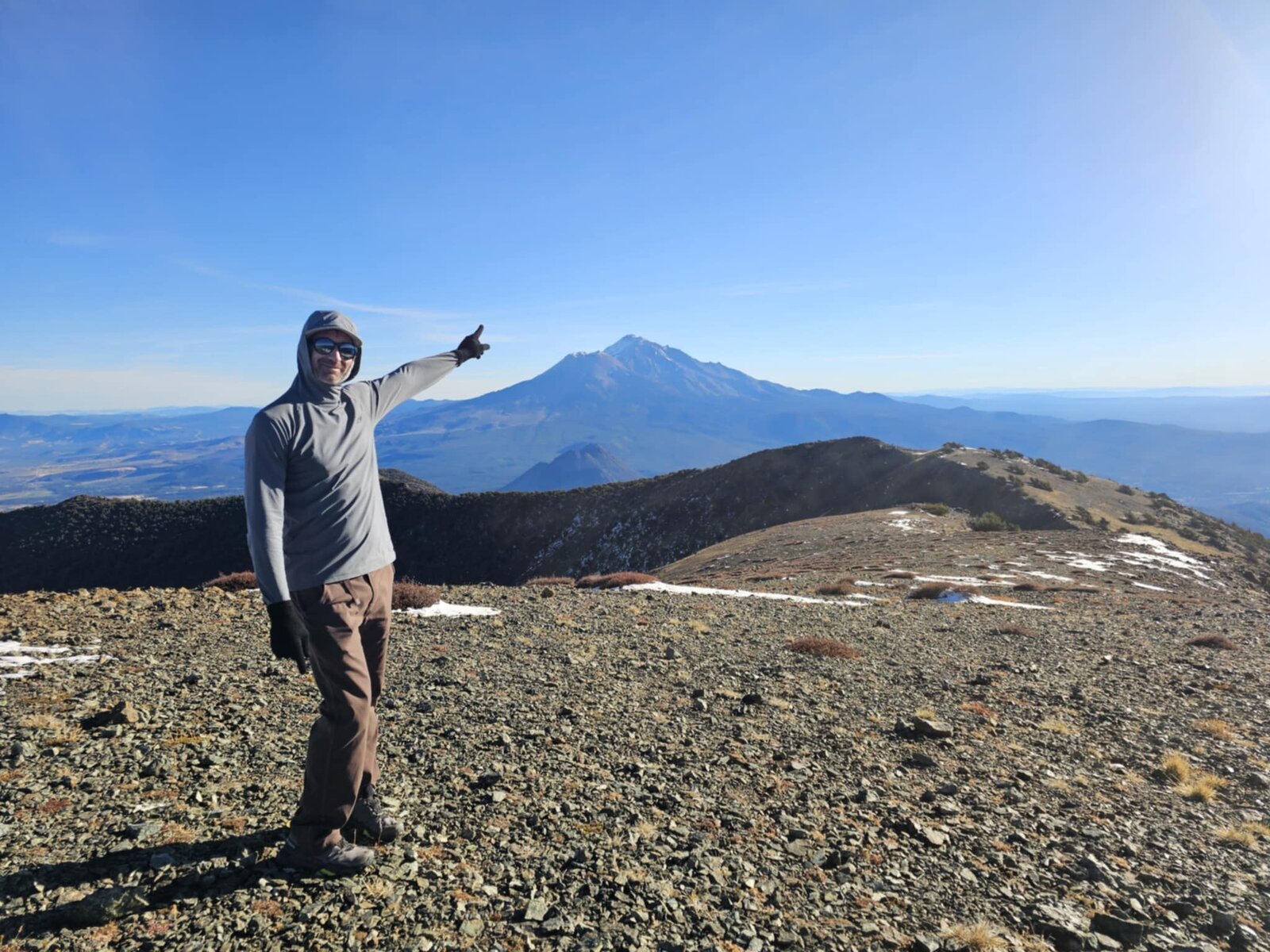
Mount Eddy is the highest peak in the Klamath Mountains and the highest point in the country west of Interstate 5, and the summit makes the case for itself immediately — Mount Shasta fills the entire eastern skyline from just a few miles away, close enough to feel its scale, with the Trinity Alps and the Sacramento Valley stretching out in every other direction. A quiet, uncrowded summit, especially compared to Shasta itself, with just enough snow underfoot to remind you it was mid-October.
A straightforward out-and-back by Northern California standards, but one of the best view-to-effort ratios of any hike around Shasta — alpine lakes on the way up, a genuine 360-degree panorama at the top, and a quiet, easy trail back down through Deadfall Meadows as the morning light kept changing over the lakes.
Comments