San Jacinto Peak
At a Glance
- Route
- Palm Springs Aerial Tramway to Round Valley, then the Wellman Divide Trail
- Trailhead
- Mountain Station (top of the Aerial Tramway)
- Permit
- Free wilderness permit required (self-issue at the tram station)
- Typical Season
- Year-round via the tram; summer and fall for the easiest trail conditions
Second Ascent — March 16, 2025 — Most Recent
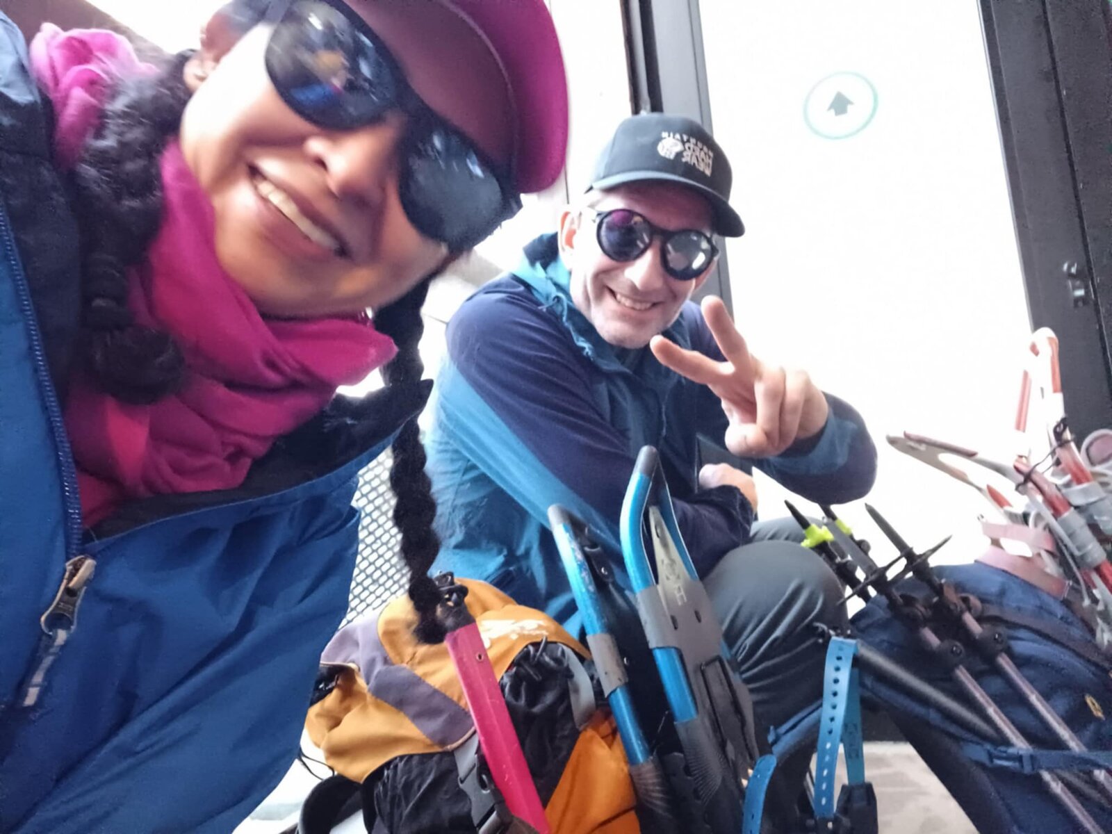
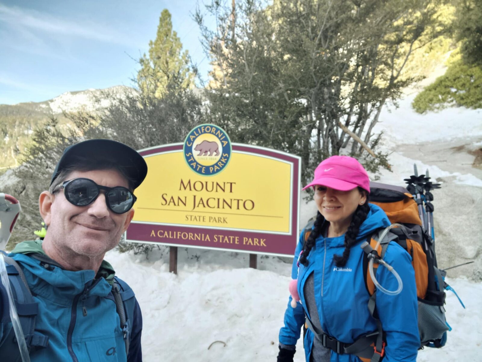
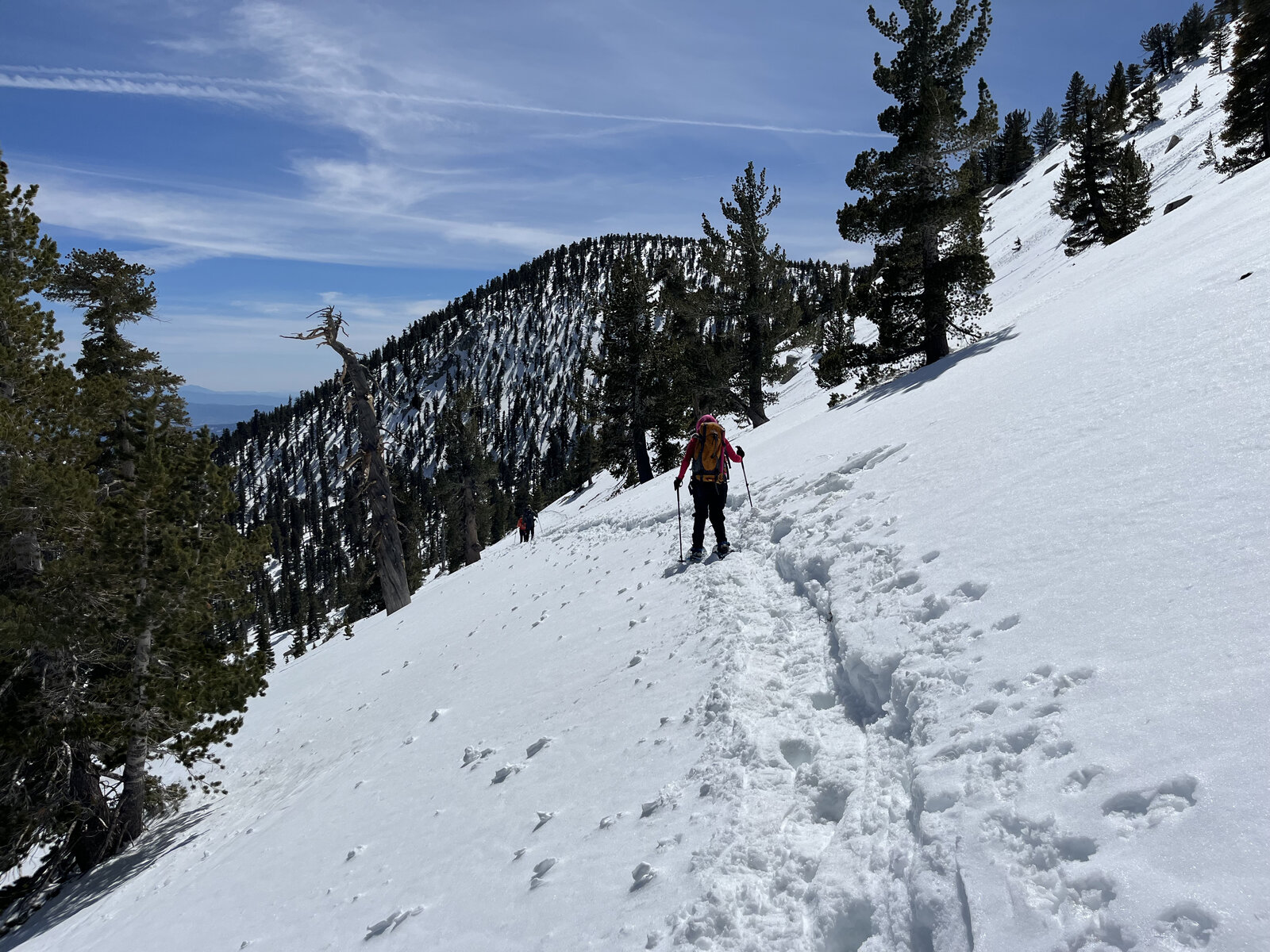
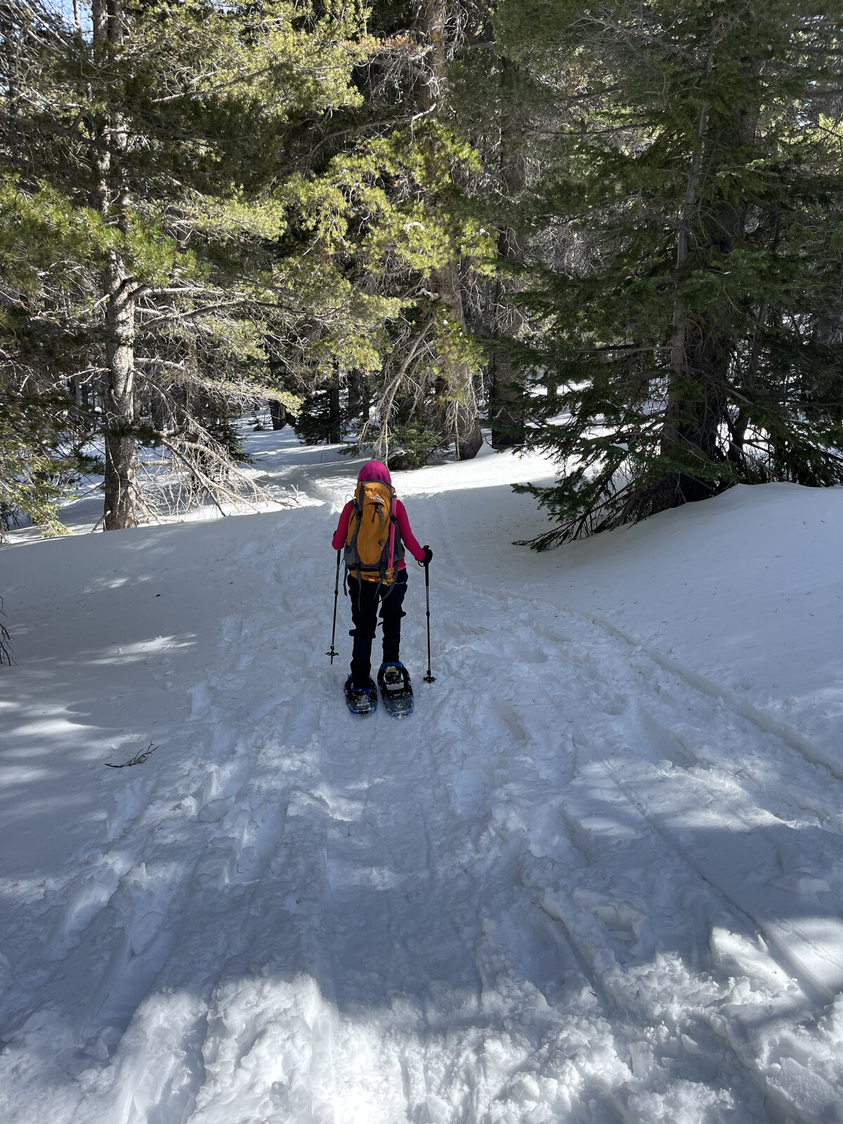
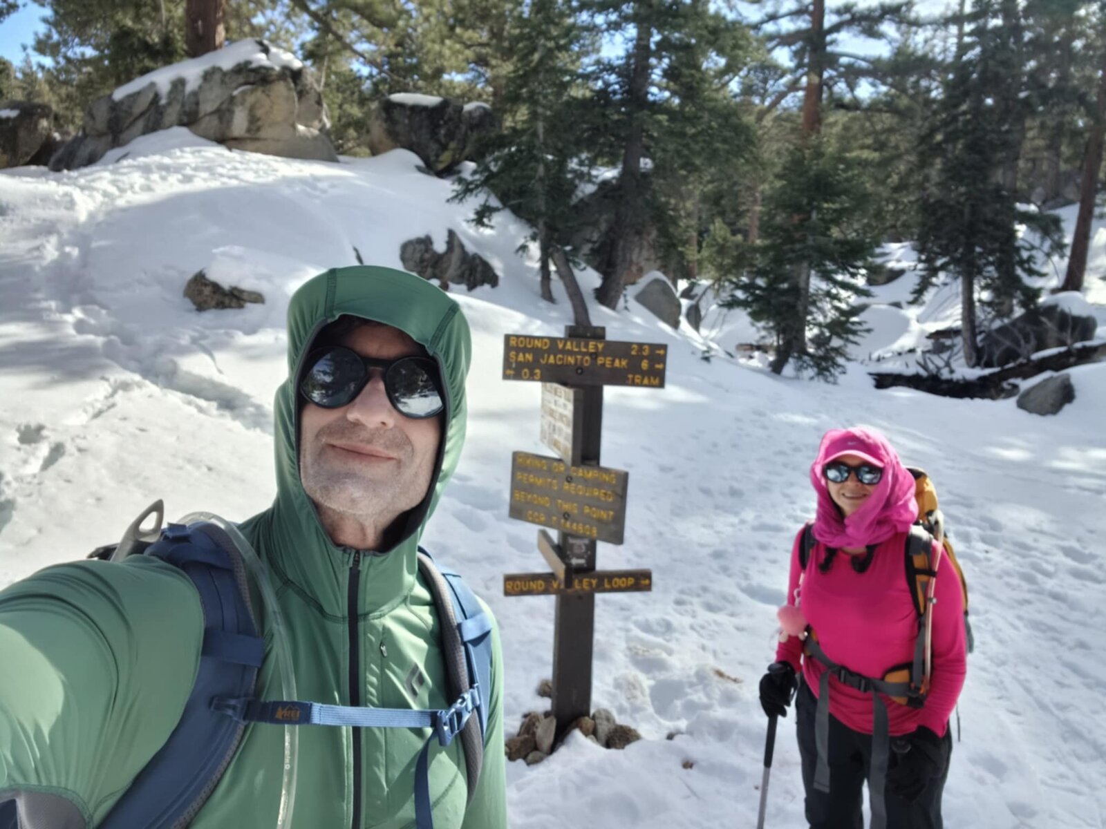
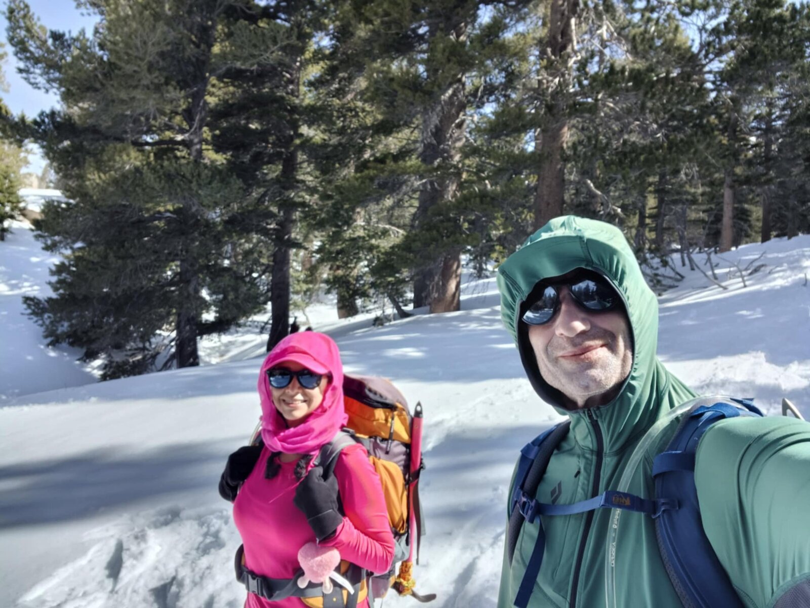
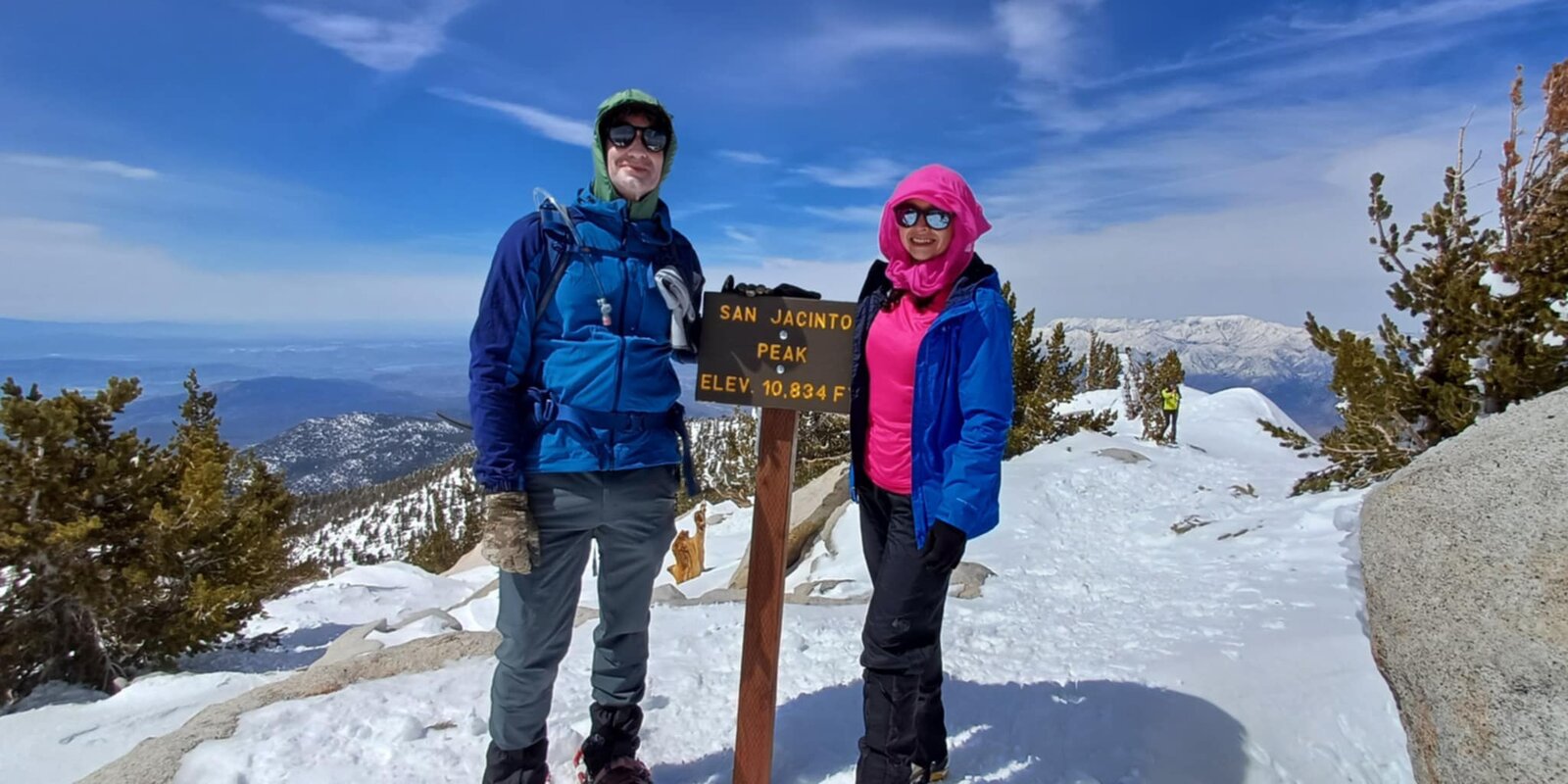
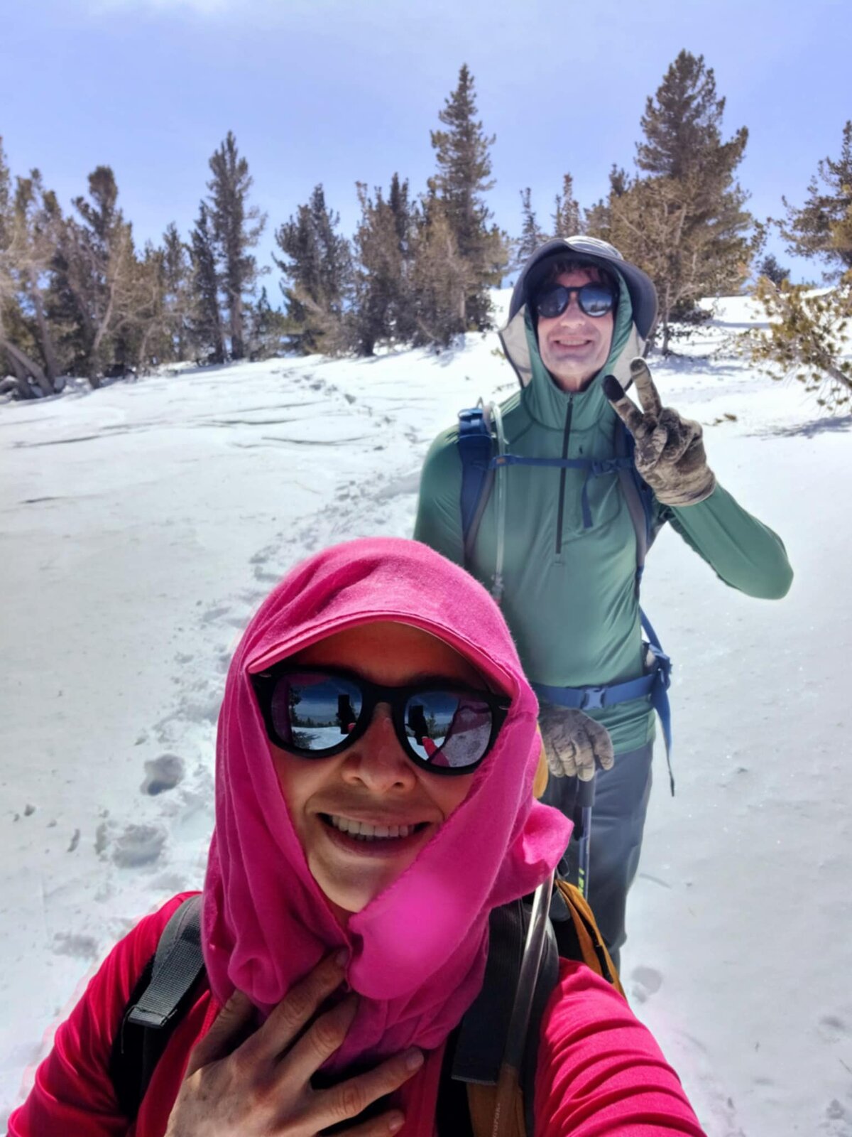
Back up San Jacinto Peak, this time in full winter conditions with a fresh, deep snowpack from Mountain Station all the way to the summit — snowshoes on almost immediately after stepping off the tram. Took a shorter variation of the usual route this time, working up through Round Valley without the full Wellman Divide traverse, which cut some mileage off the last trip while still delivering the same summit.
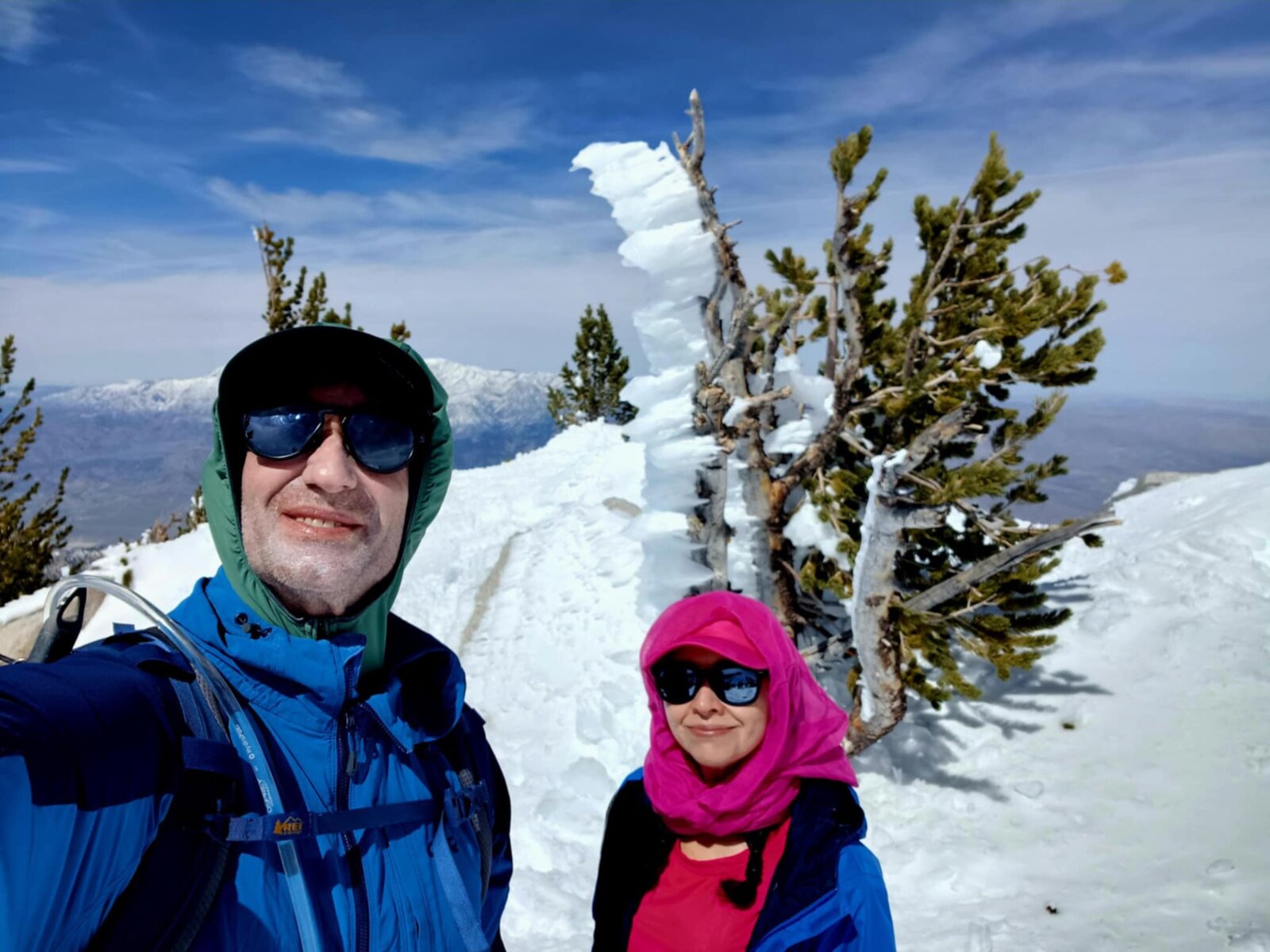
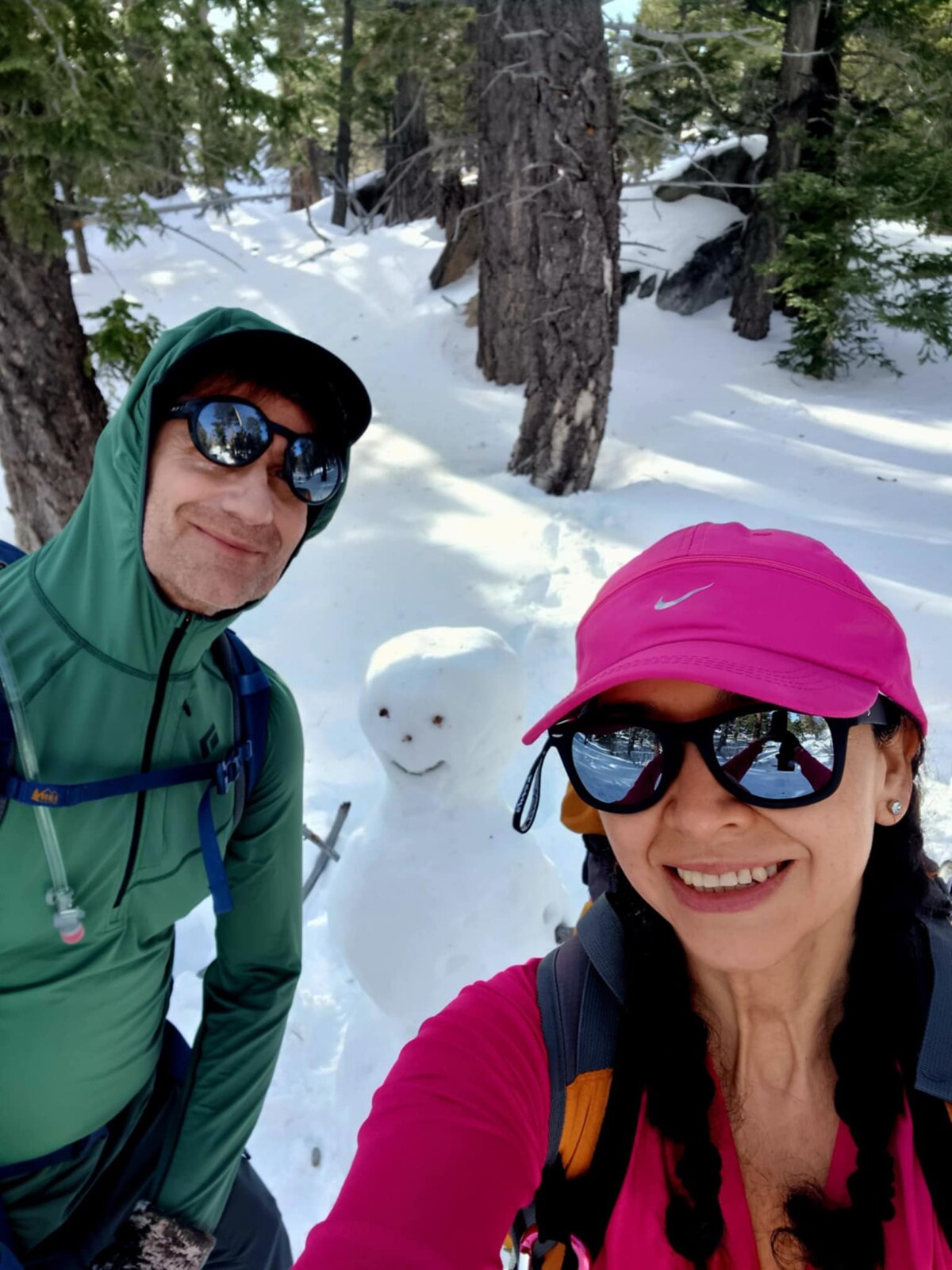
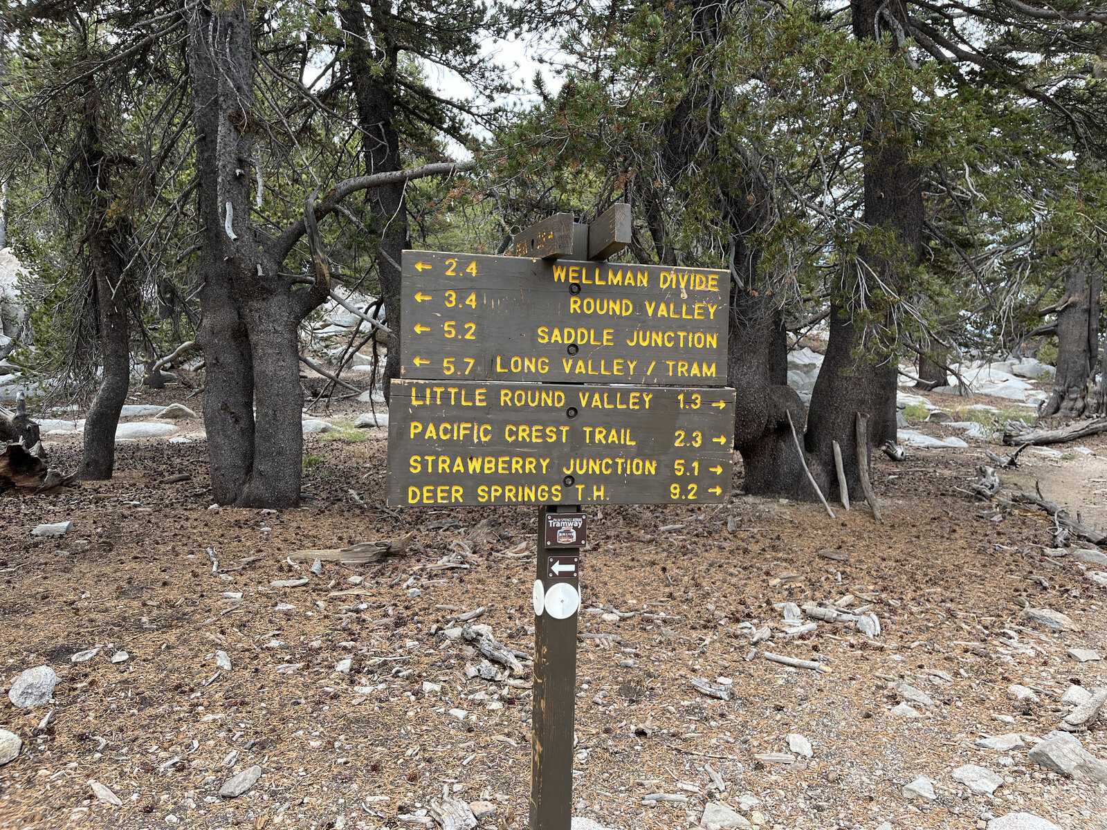
The snow made for a completely different mountain than the first visit — postholing replaced by snowshoe tracks, pine trees plastered in rime ice, and even a snowman built partway up as a break from the climbing. Trail junction signs poked up out of drifts instead of bare dirt, and the whole forest between Long Valley and Round Valley was hushed and white.
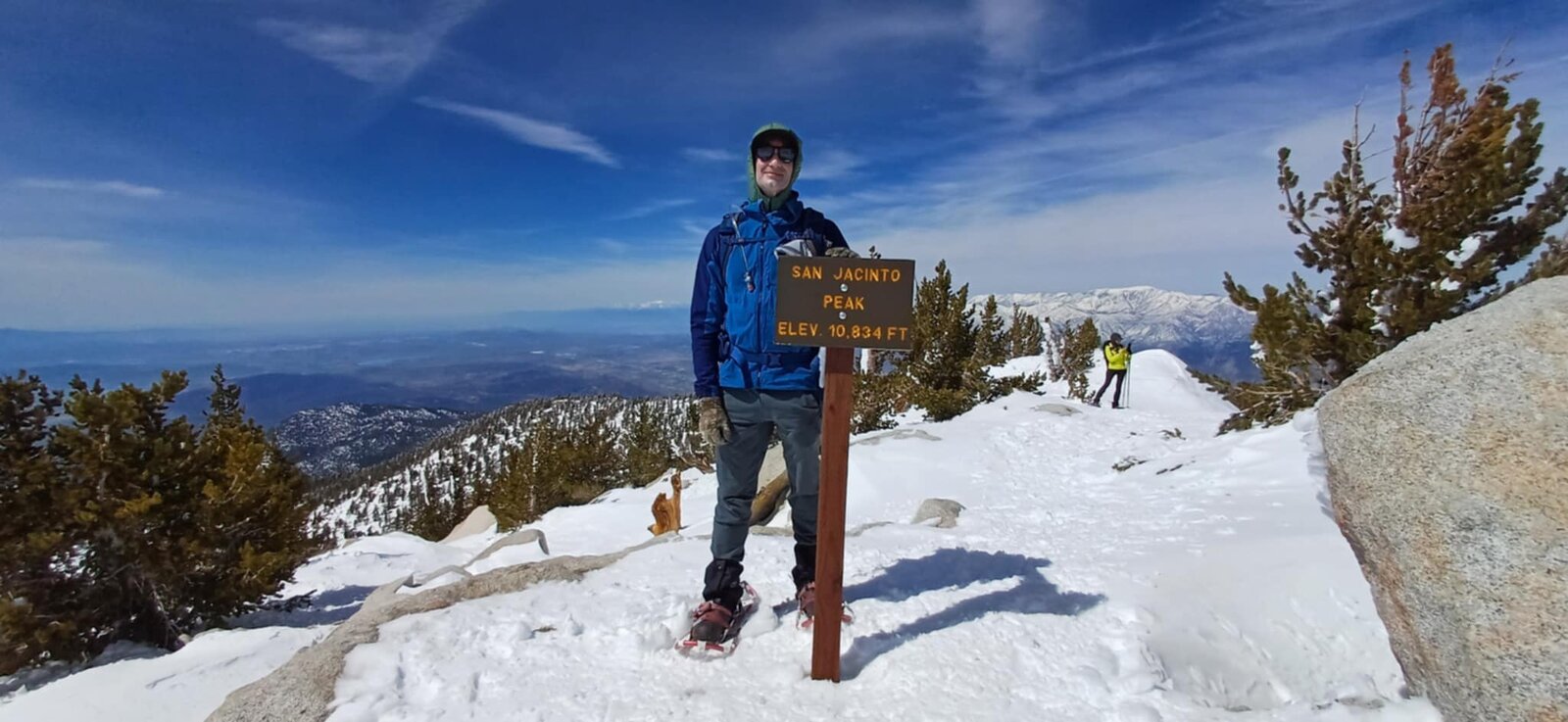
A genuinely beautiful day to be out there — clear skies, deep snow, and the same 10,834-foot summit sign at the top, just dressed very differently than the first time around. Every bit as good a reason to ride that tram as the original trip, maybe better.
First Ascent — October 27, 2024
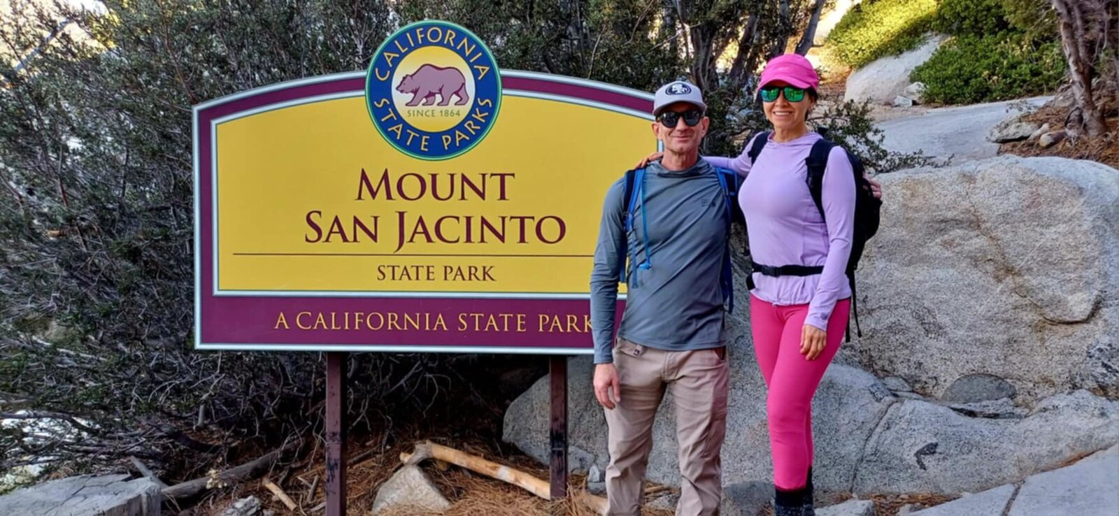
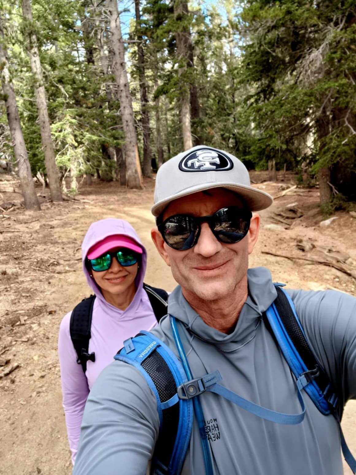
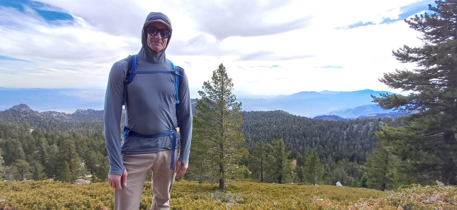
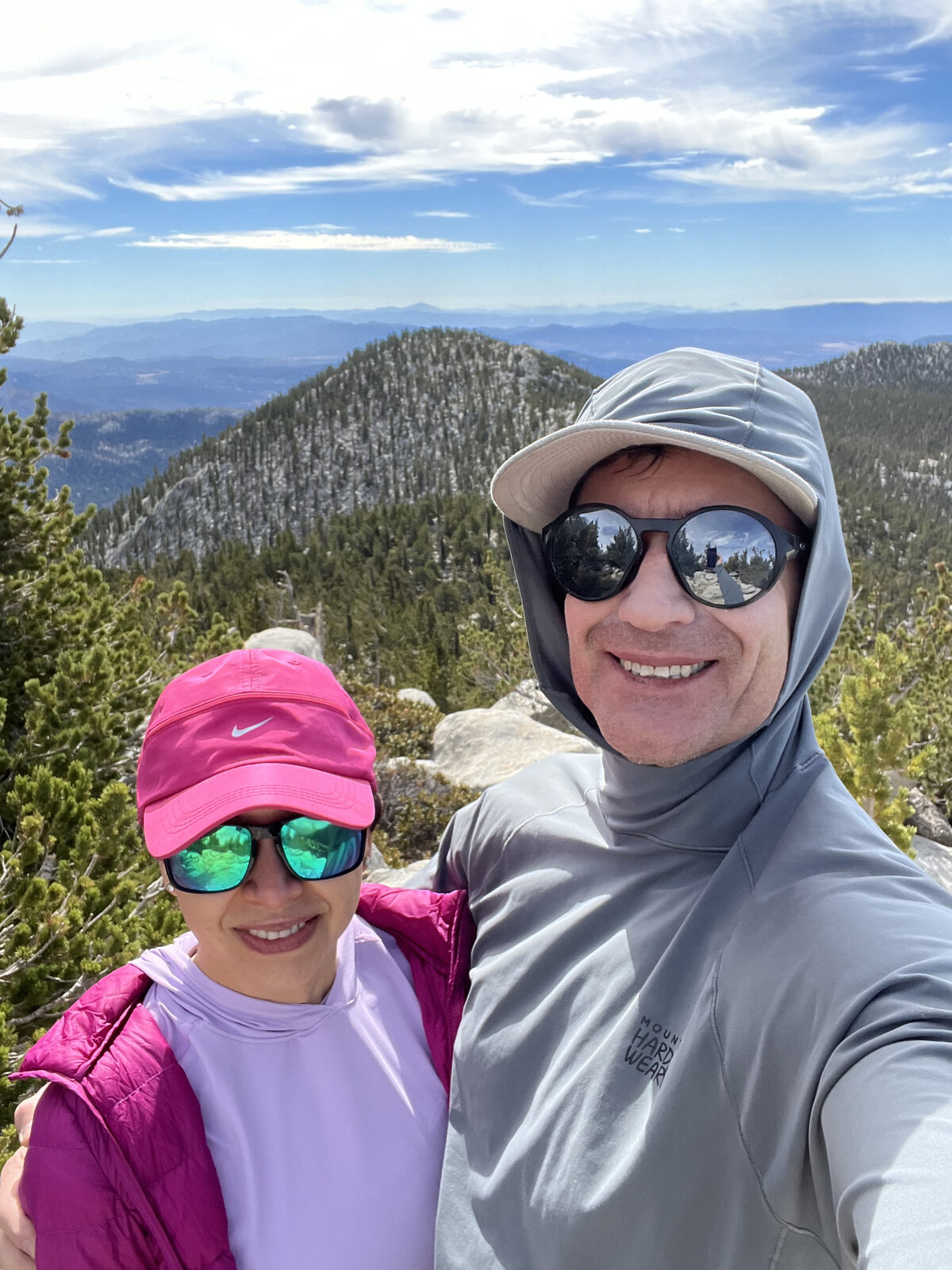
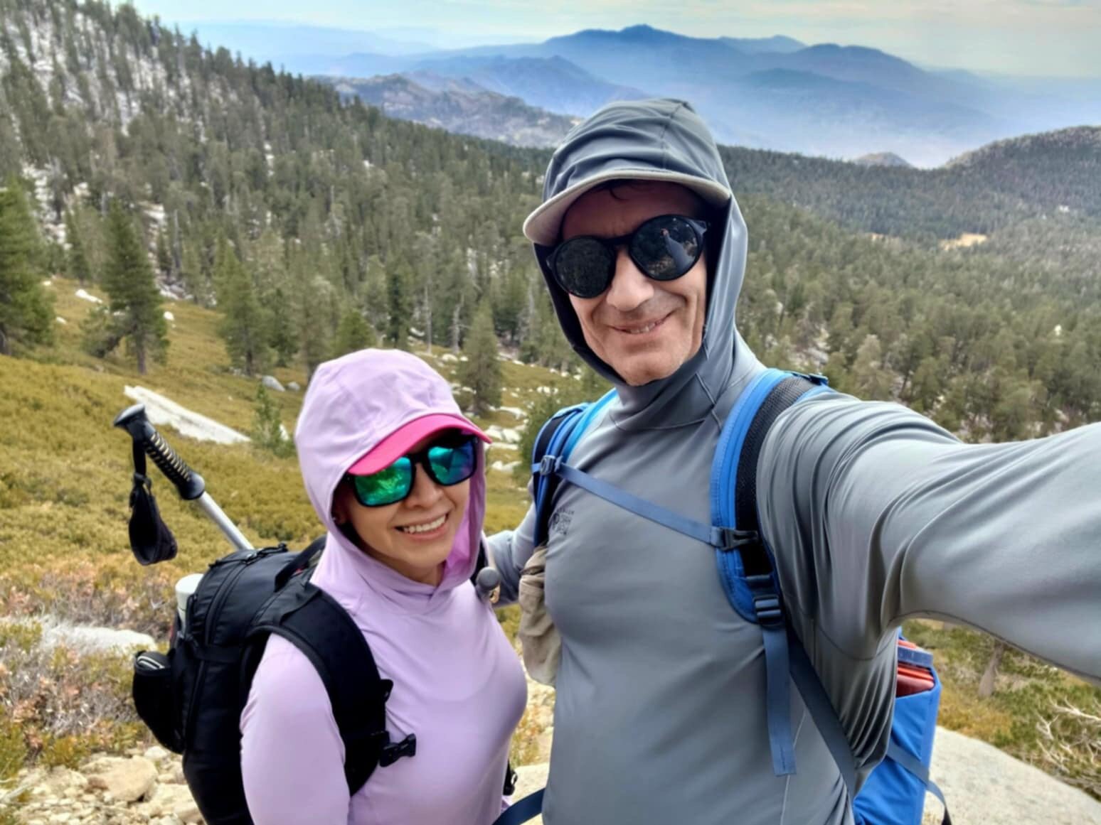
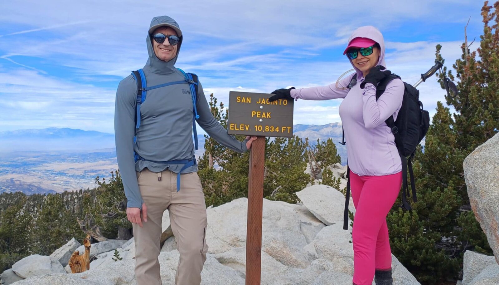
It was an awesome hike to the top of San Jacinto Peak. Thank you, Lupita, for a great day. The day starts with the Palm Springs Aerial Tramway itself, a rotating cable car that climbs nearly 6,000 feet out of the desert floor in about ten minutes, dropping hikers at Mountain Station at 8,516 feet — already deep in pine forest and a world away from Palm Springs shimmering in the heat below.
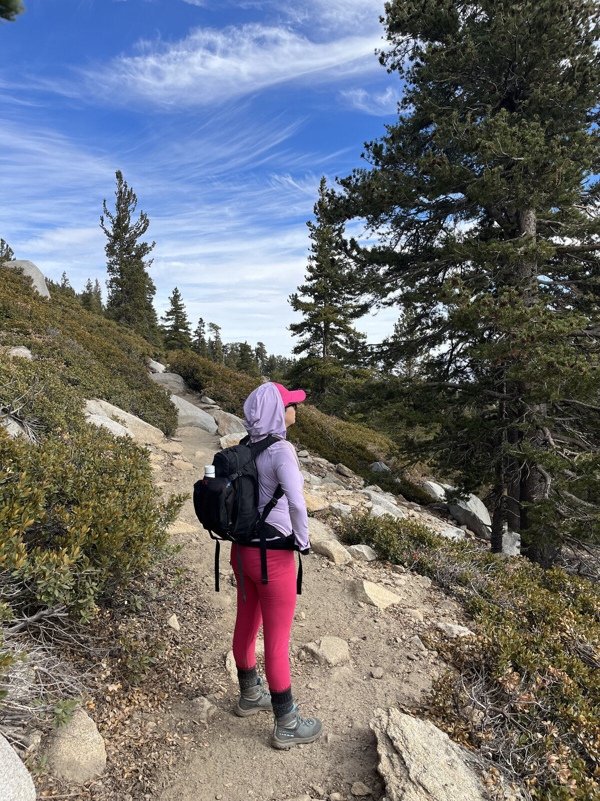
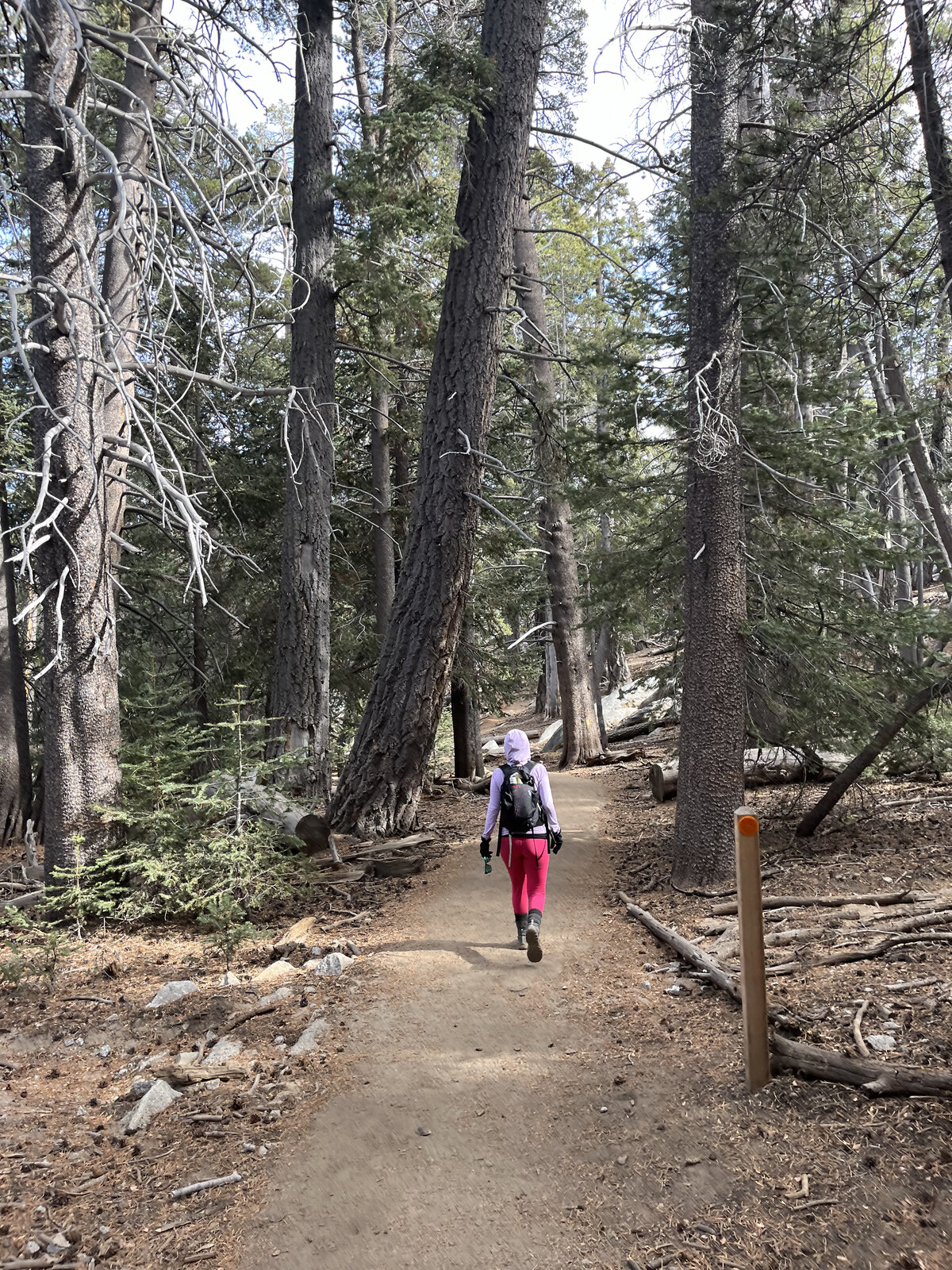
From there the trail eases through Long Valley and out into the open meadow of Round Valley before the real climbing starts: a steep mile up to Wellman Divide, where the view opens up south toward the Anza-Borrego desert and the Salton Sea. From the divide, the trail contours across the flank of Jean Peak with long, exposed stretches and near-constant views back over the tramway and the valley floor thousands of feet below.
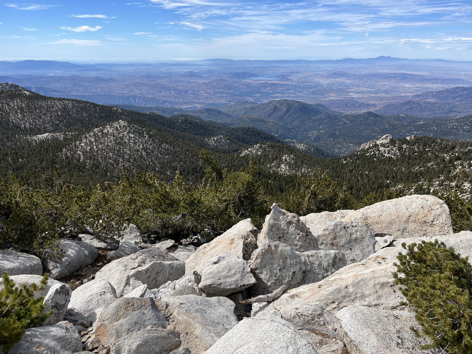
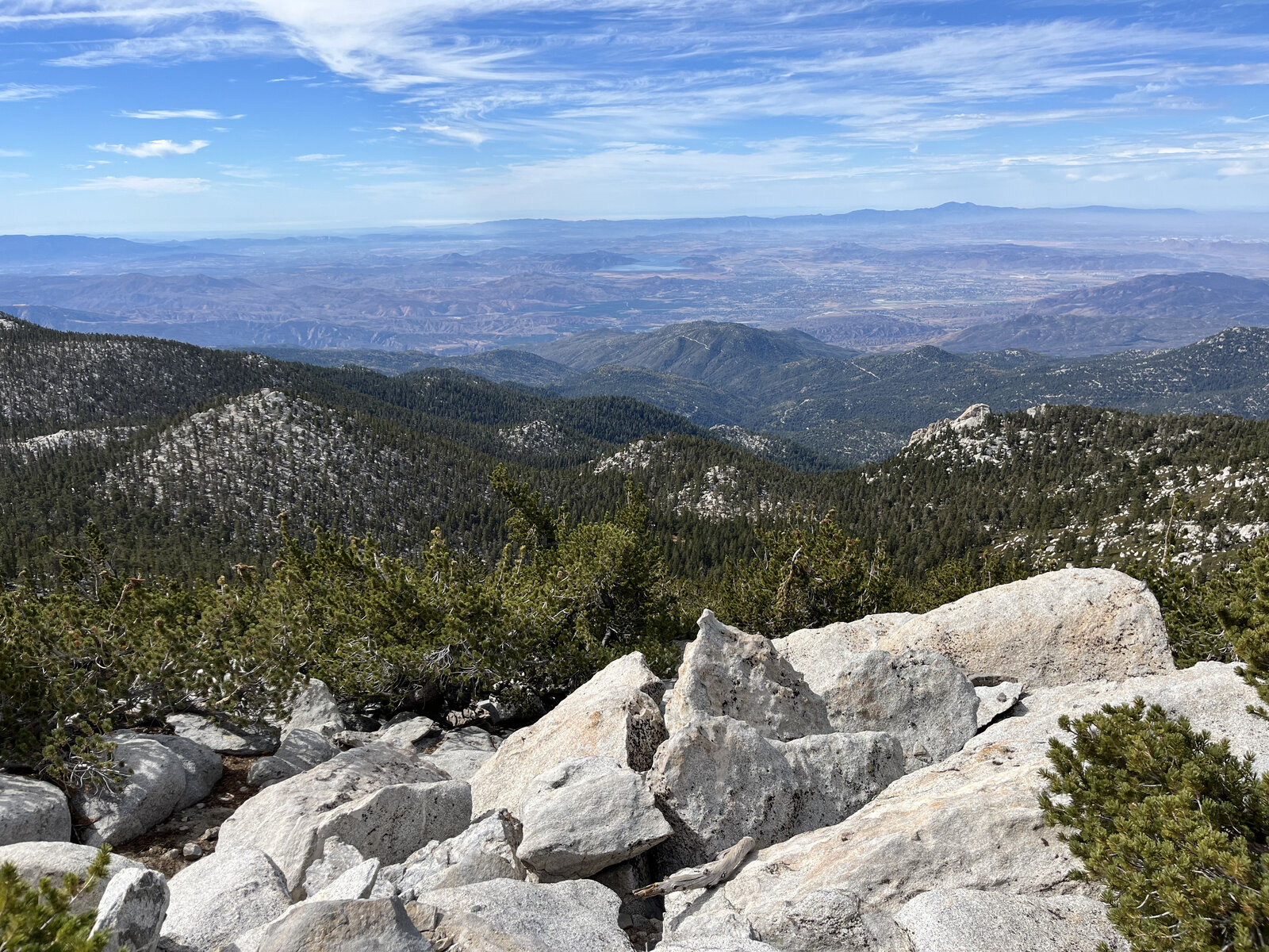
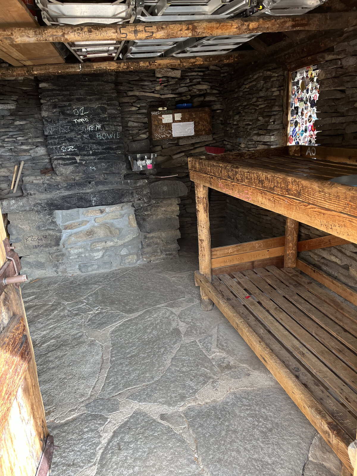
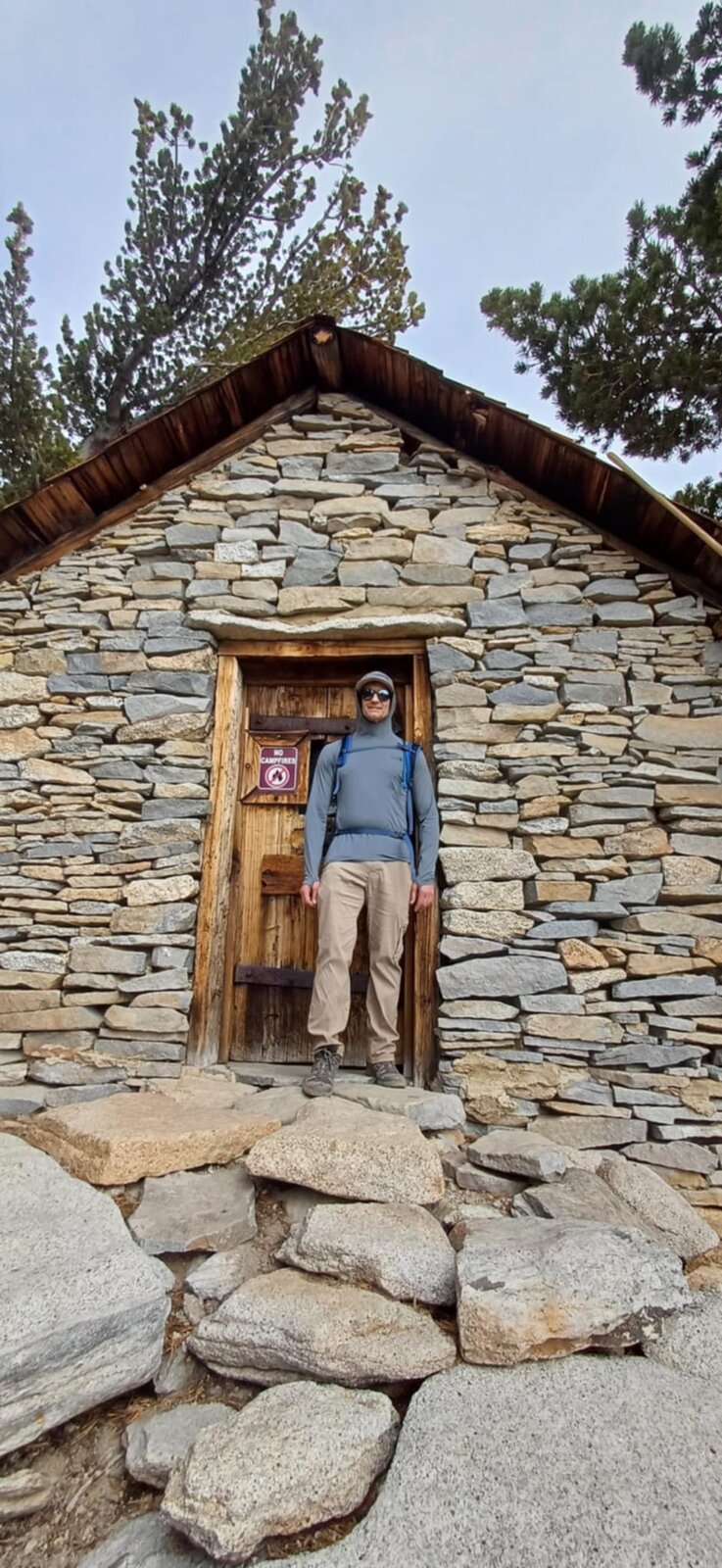
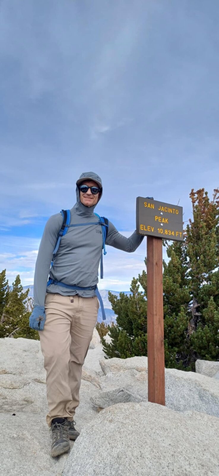
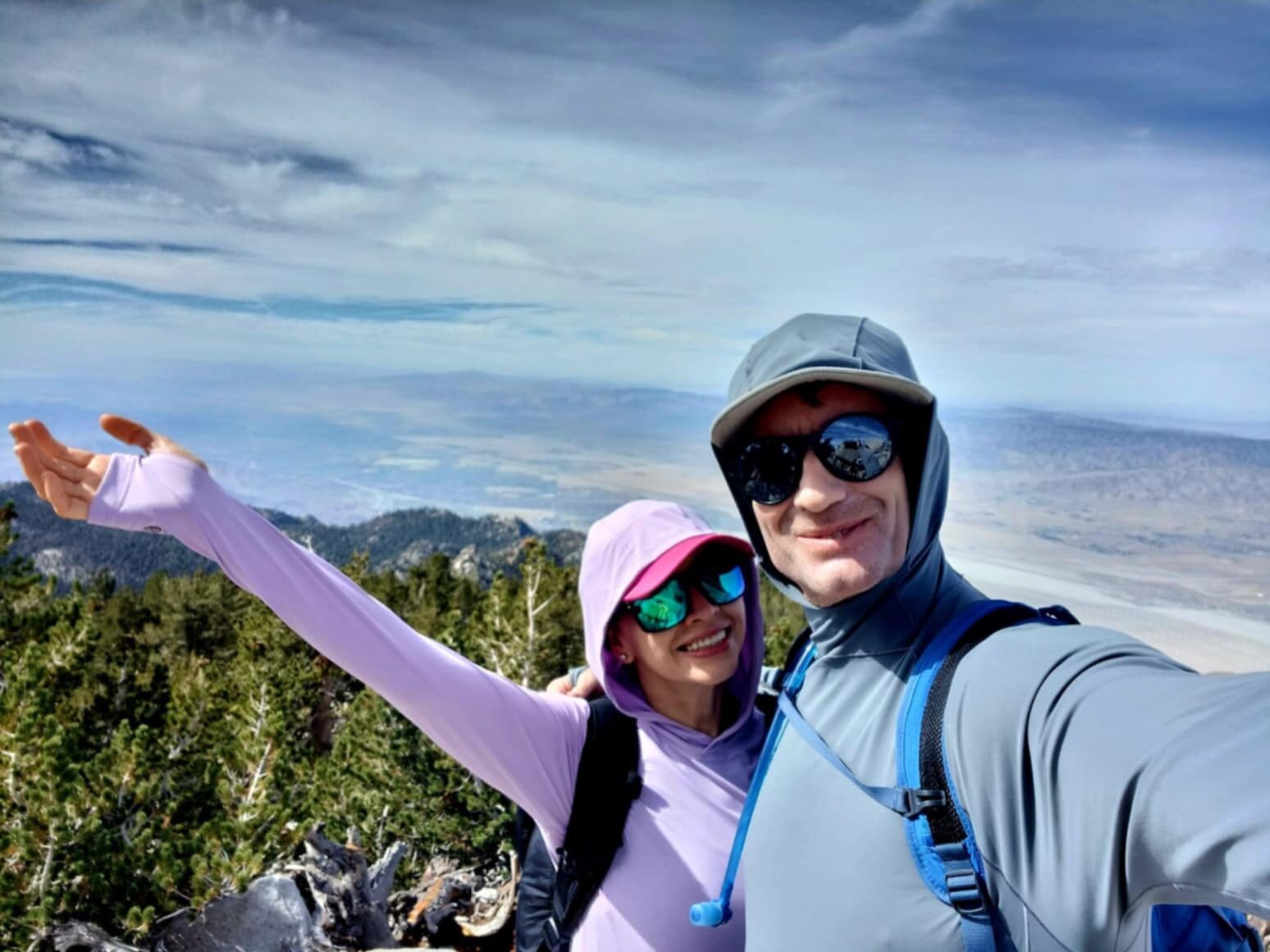
A junction near the top leads past the historic stone emergency hut, tucked into the rocks just below the summit block — a good landmark that the top is close. From there it's a short boulder scramble up to the true summit and the sign marking San Jacinto Peak at 10,834 feet, the second-highest point in Southern California and the high point of Riverside County. The 360-degree view from up there is the whole reason to make the climb: the Coachella Valley spread out to the east, the Trinity Alps'-scale wall of the San Bernardino and San Gorgonio massif to the north, and range after range of the Peninsular Ranges fading south toward Mexico.
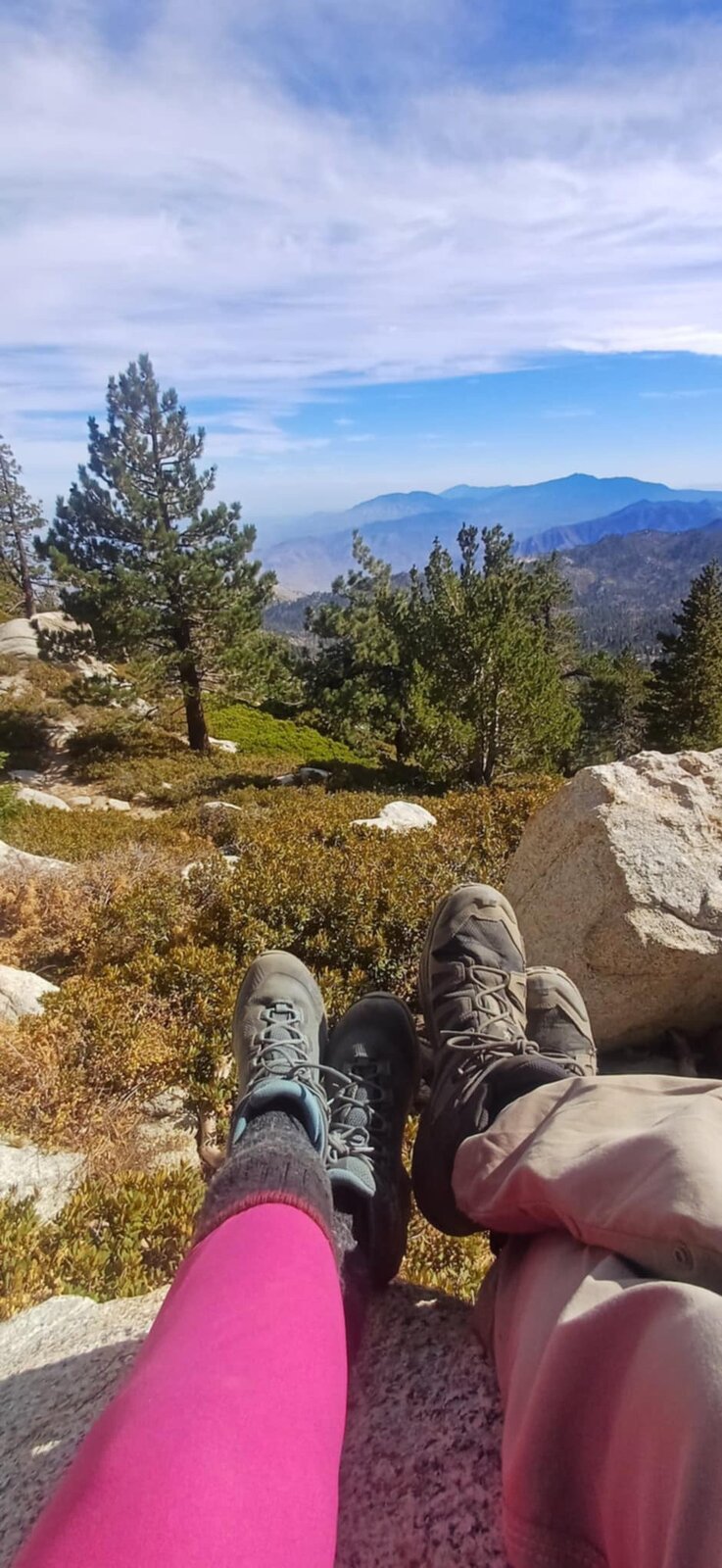
A long day above 8,500 feet the entire way, but one of the best big views in Southern California for the effort involved — especially with the tram doing most of the elevation work. Sat for a while up on the summit boulders taking it all in with Lupita before the long walk back down to catch the tram, a genuinely great day on the mountain.
Comments