Mount Baldy (California)
Third Ascent — June 14, 2024 — Most Recent
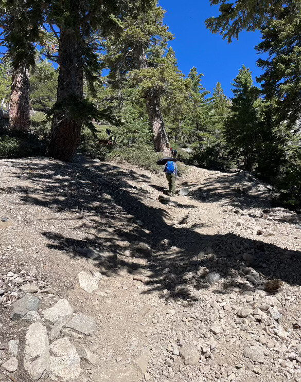
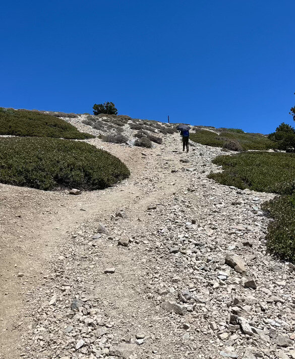
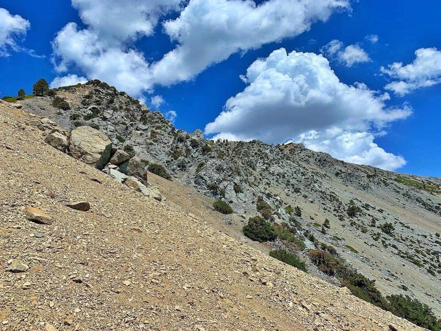
Third trip up Baldy, back to the direct Ski Hut Trail out of Manker Flats — steep and unrelenting as always through the forest before breaking out above treeline onto the open, rocky switchbacks for the final push.
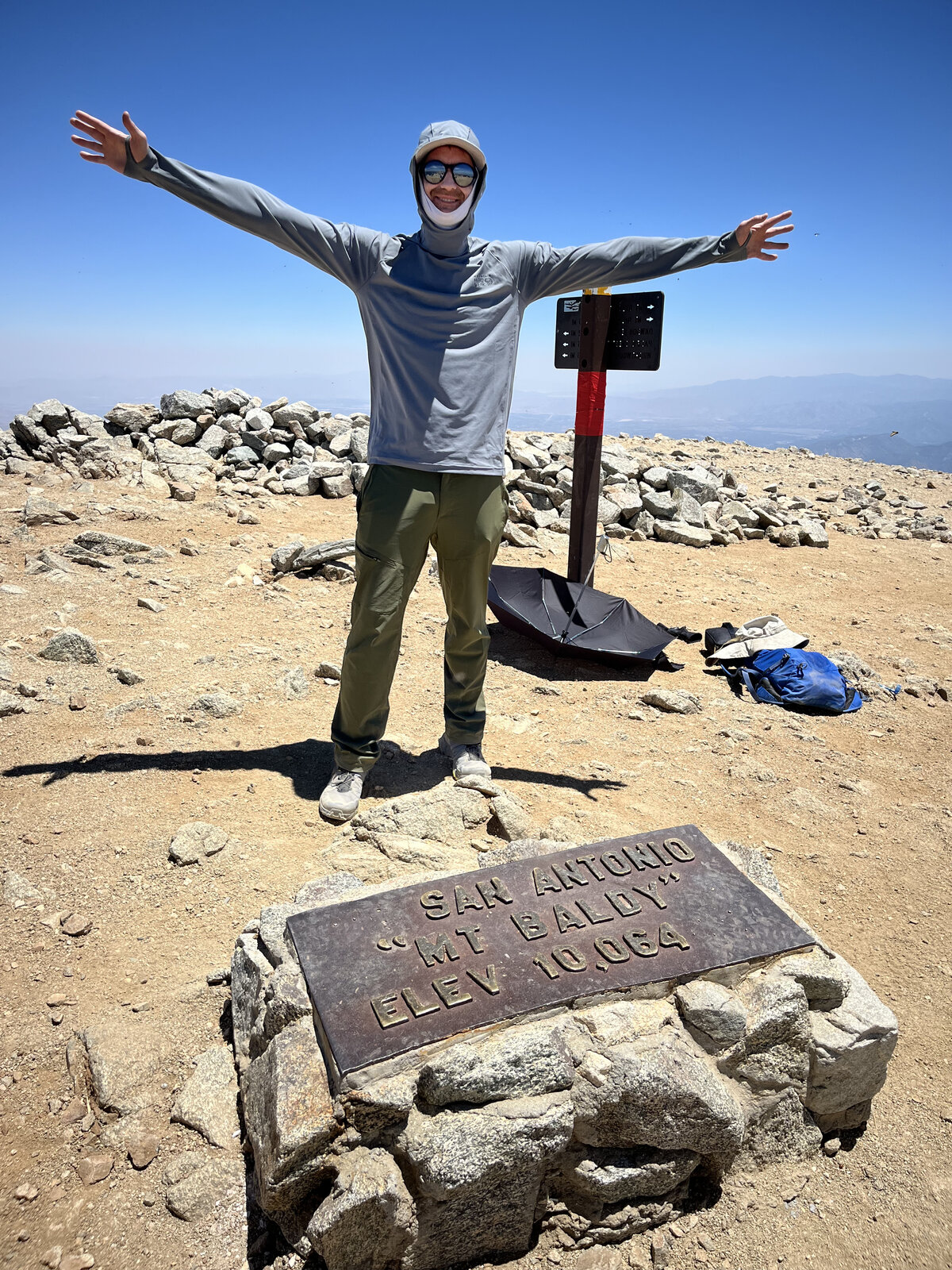
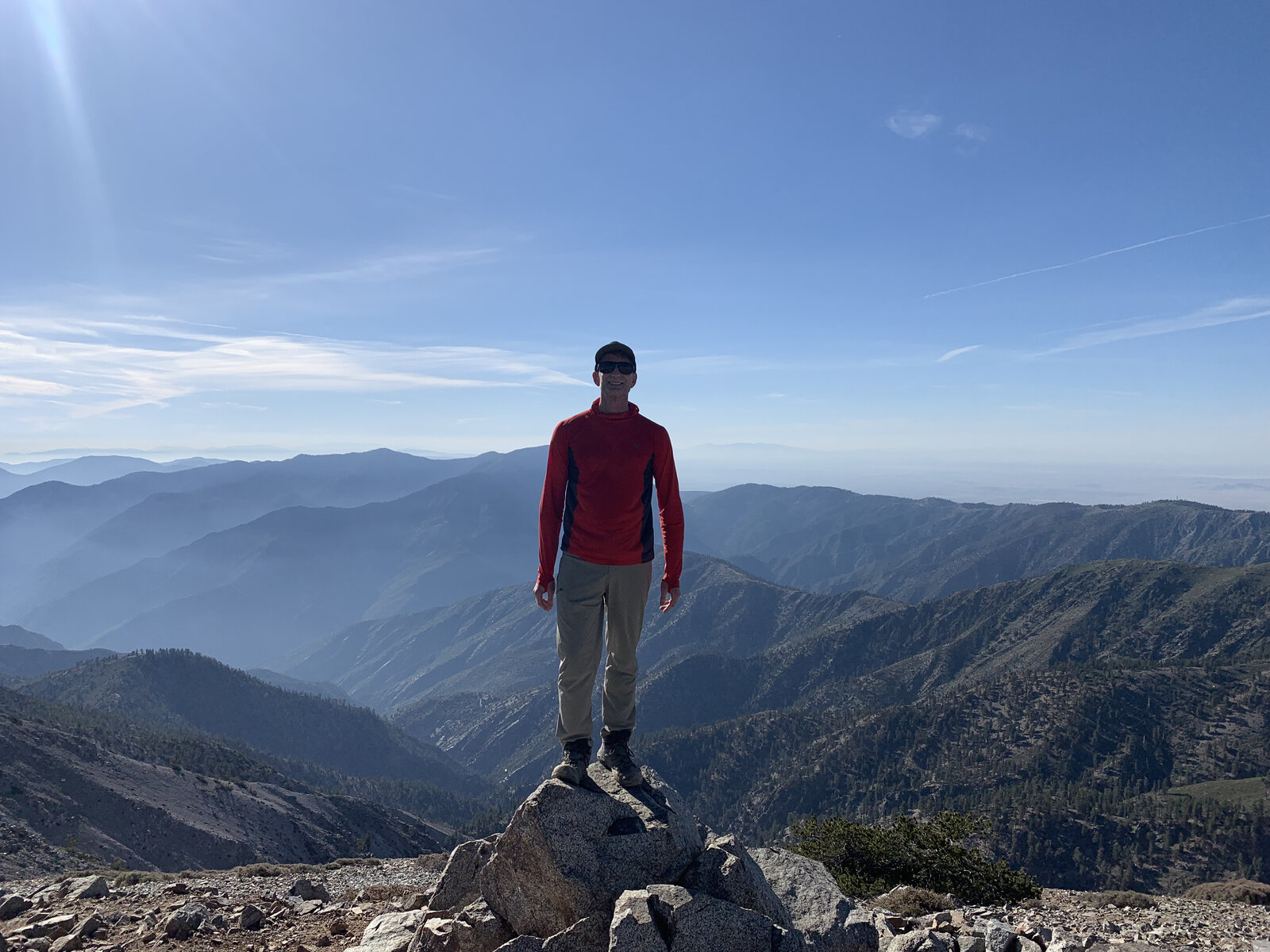
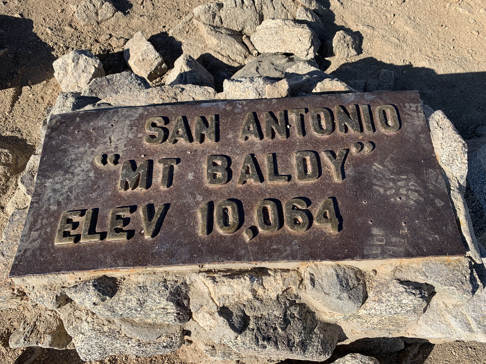
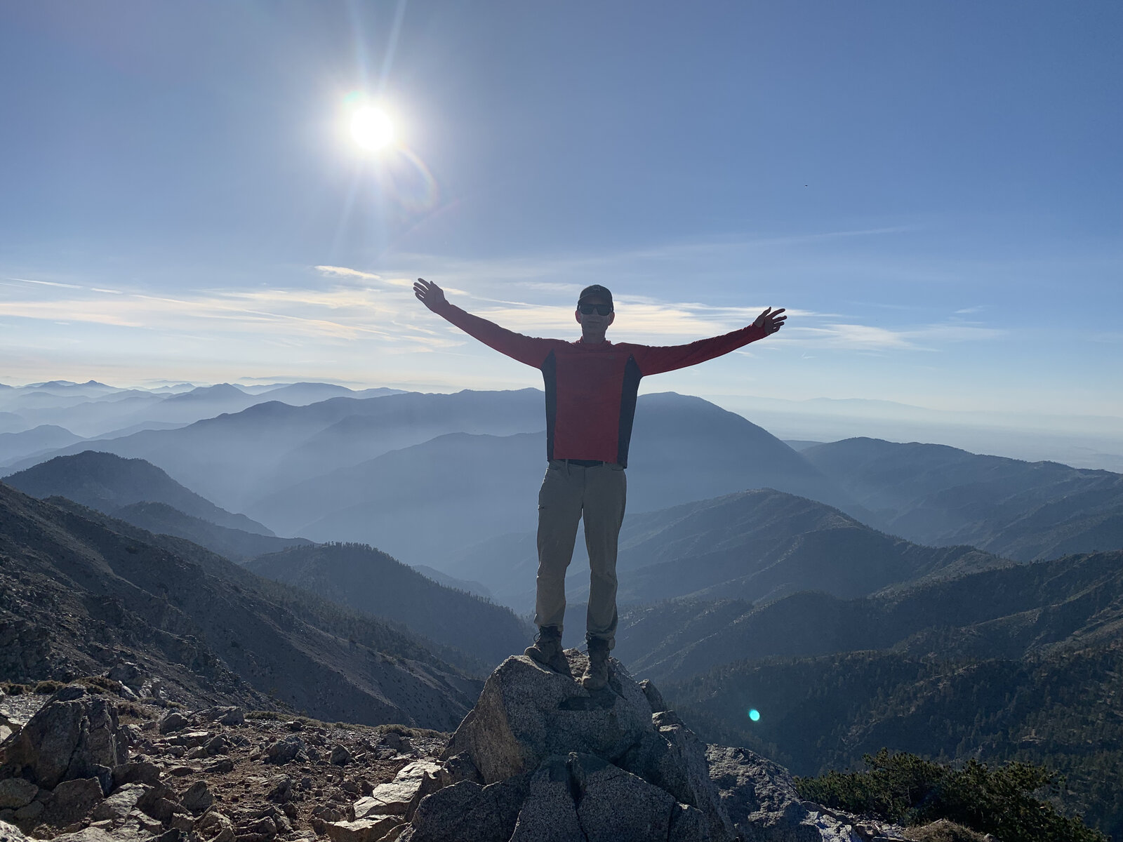
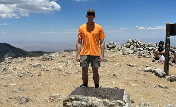
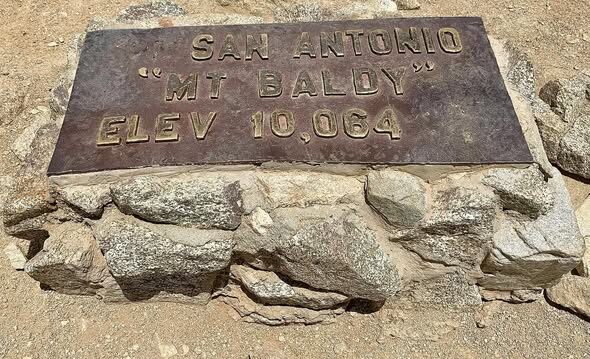
Reached the summit under a hot, hazy June sky, arms out at the San Antonio benchmark plaque for the obligatory summit photo — the same 10,064-foot high point, the same great views out over the Inland Empire, still just as satisfying the third time around.
A familiar mountain by now, but one that never gets old — the kind of hike close enough to home to do again and again without ever feeling routine.
Second Ascent — July 21, 2023
Second trip up Baldy, this time timed deliberately for sunset — a late-afternoon start up the Ski Hut Trail so the summit push landed right around golden hour instead of the usual morning rush. Same steep, direct grind up from Manker Flats past the Sierra Club Ski Hut, but with the light getting better and better with every switchback instead of flattening out into midday glare.
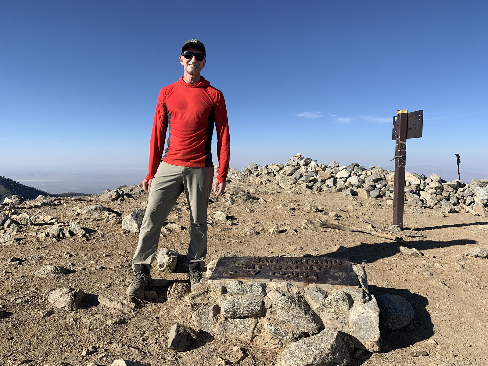
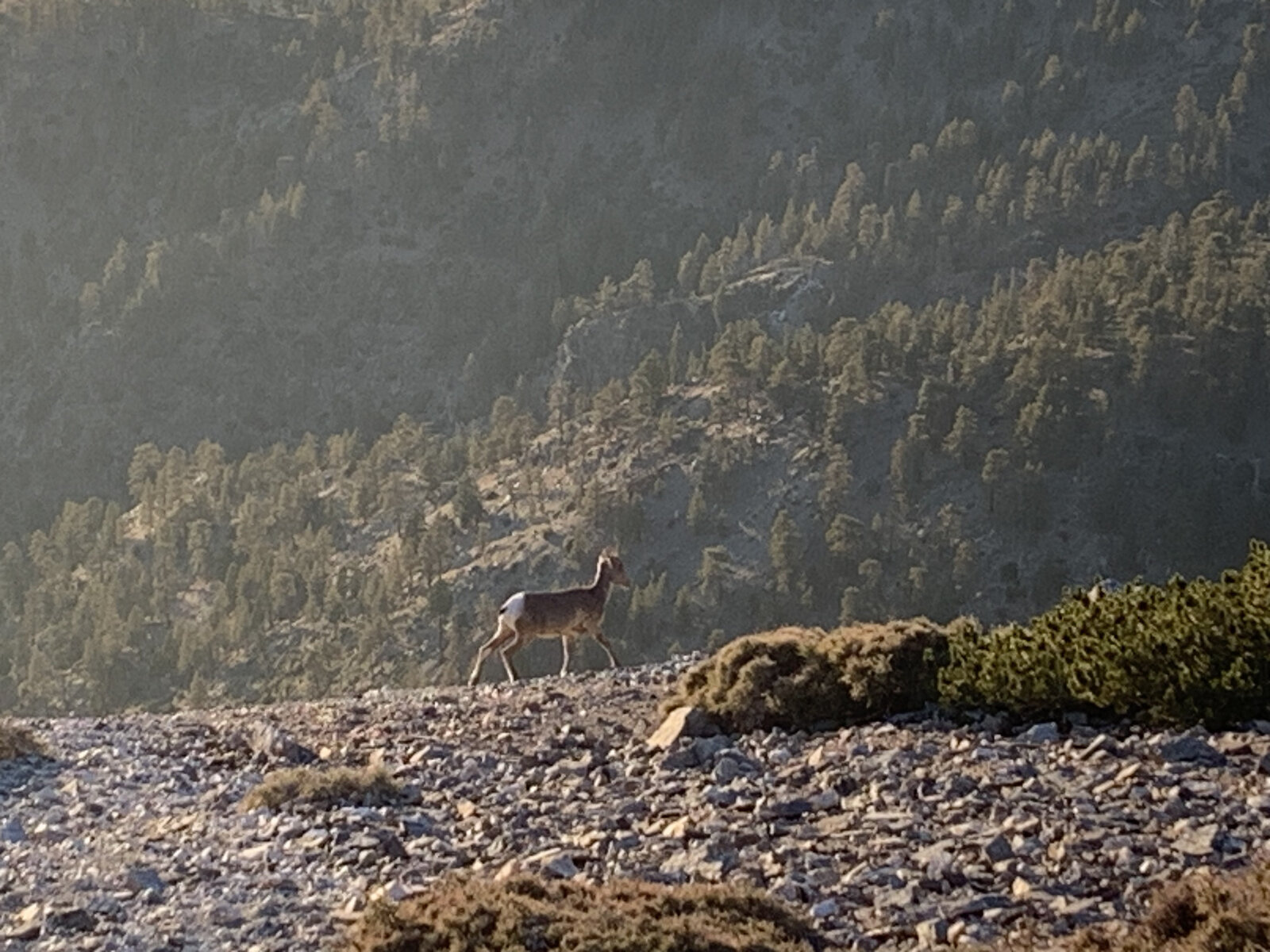
Topped out with plenty of daylight left to enjoy it — arms out on the summit rocks with the sun still well above the haze layer over the Inland Empire, and the San Antonio benchmark plaque marking the 10,064-foot high point right underfoot. A deer wandered along the slope just below the summit on the way down, completely unbothered, silhouetted against the forested ridge in the low evening light.
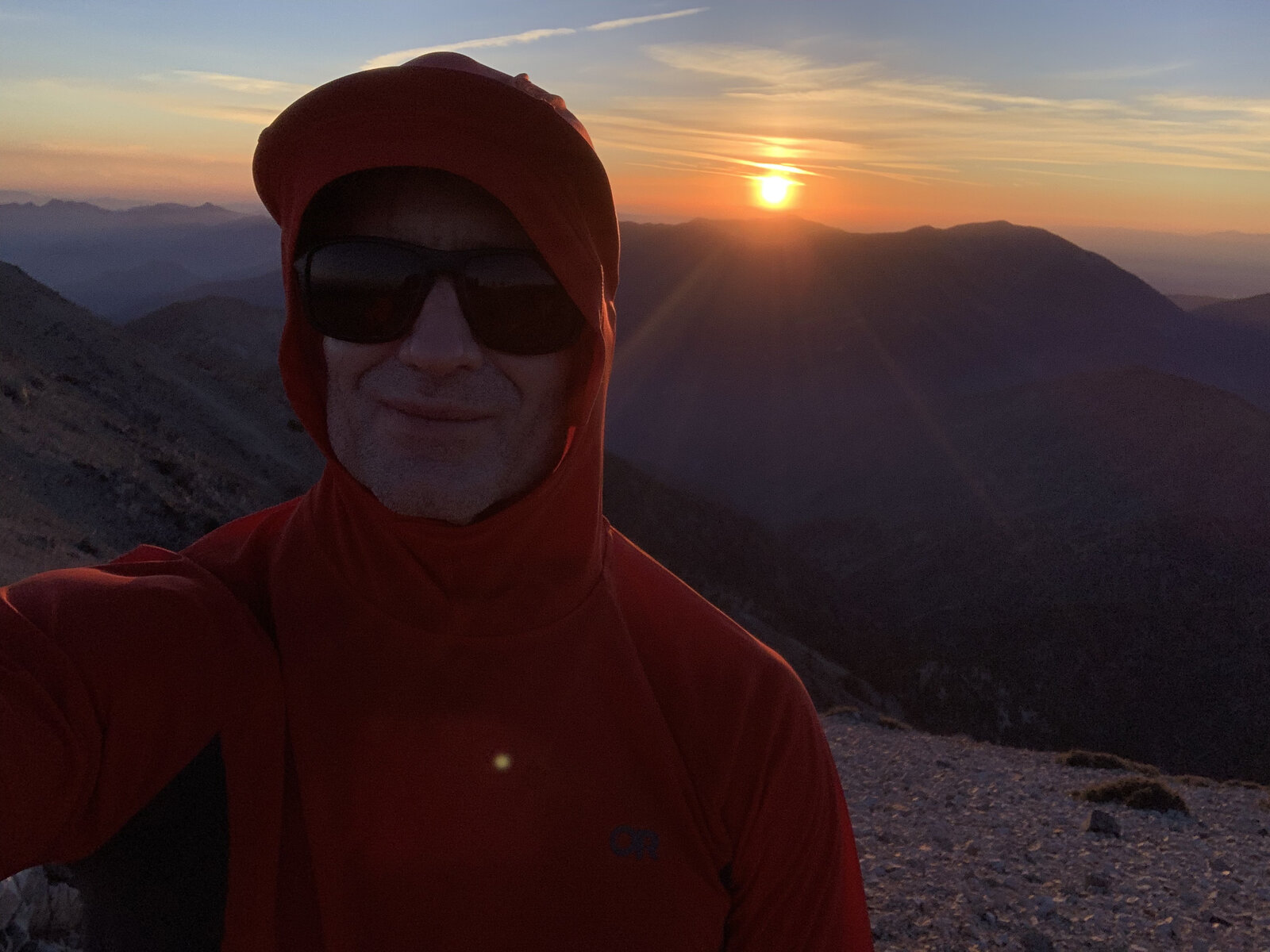
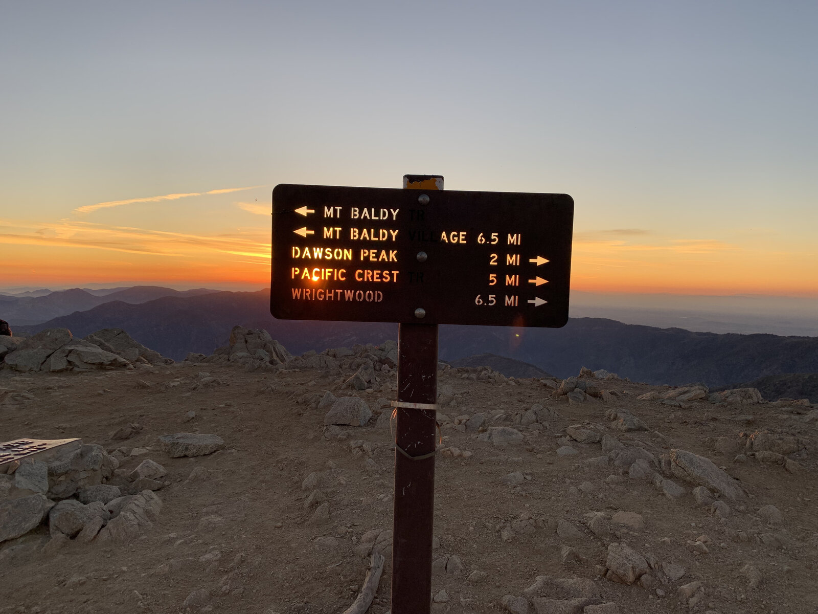
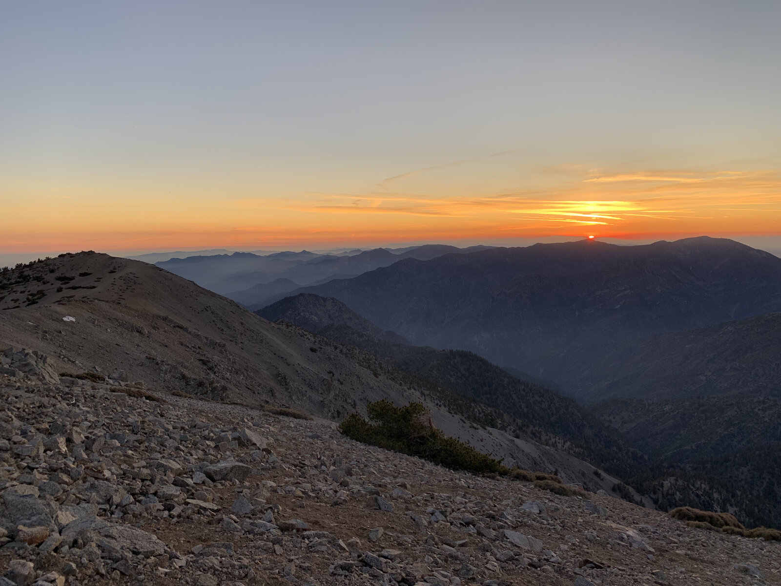
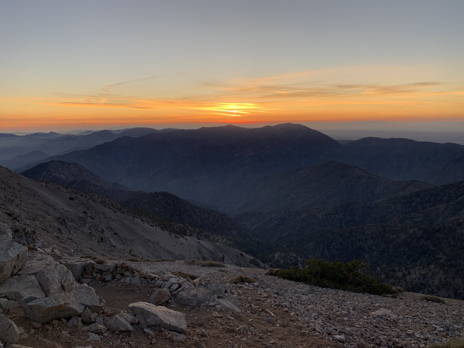
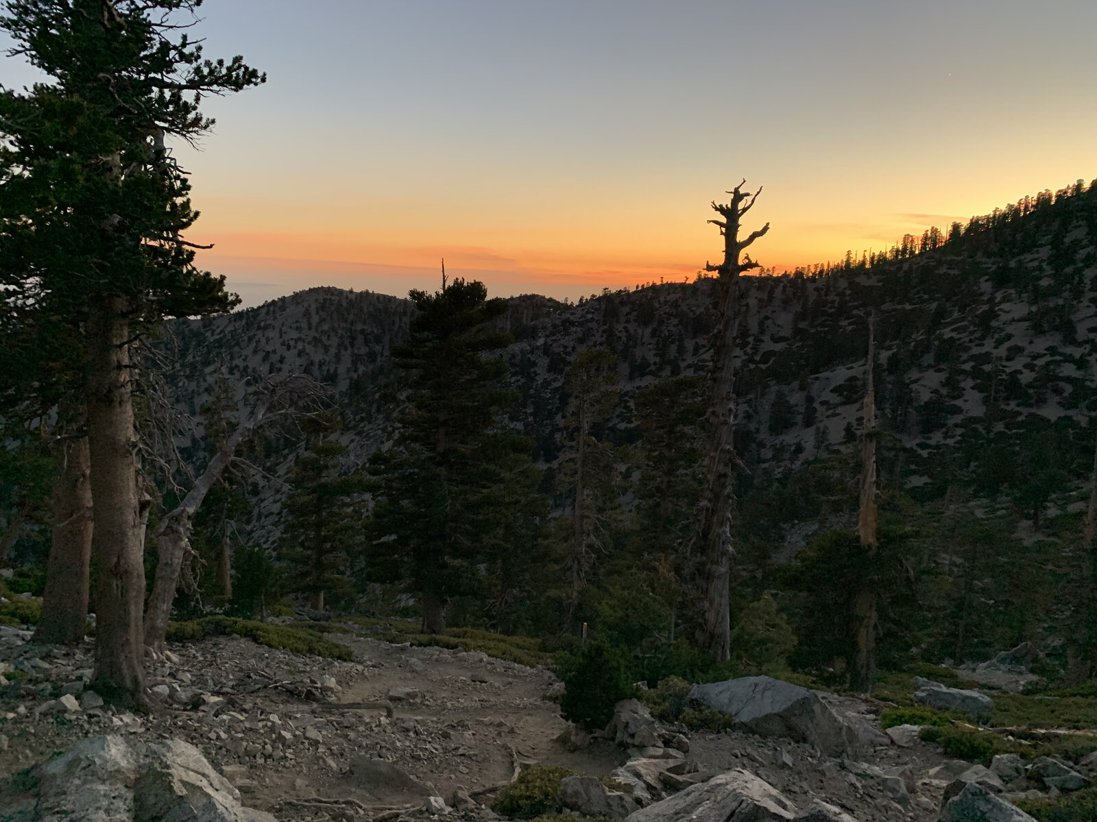
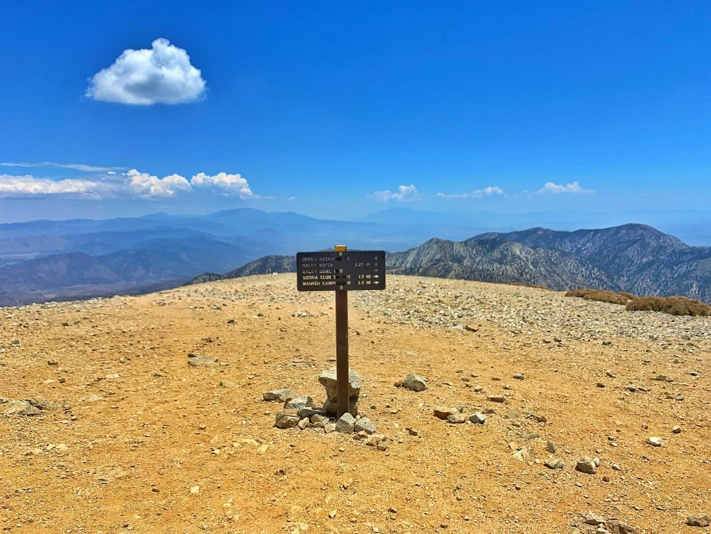
Stuck around at the top long enough to watch the sun actually drop below the ridgeline — genuinely one of the better sunsets I've caught from any summit, the whole basin below fading through orange and purple while the trail sign at the junction with the Pacific Crest Trail lit up in the last color of the day. That meant hiking the last few miles back down through the forest by headlamp, but it was an easy trade for that kind of light show.
A completely different experience from the first climb up here — same mountain, same trail, but doing it for sunset instead of sunrise turned a familiar peak into something worth doing all over again.
First Ascent — July 17, 2022
Mount Baldy — officially Mount San Antonio — is the highest point in the San Gabriel Mountains at 10,064 feet, and the classic way to do it is a loop: up the steep, direct Ski Hut Trail from Manker Flats, past the Sierra Club Ski Hut and across the boulder field at the bottom of Baldy Bowl, then a hard final push up the ridge to the summit. It was a hot day down in the canyon, but the air got noticeably cooler with every switchback higher up the bowl.
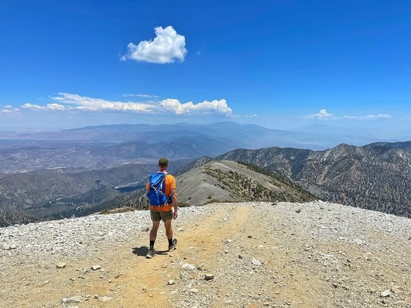
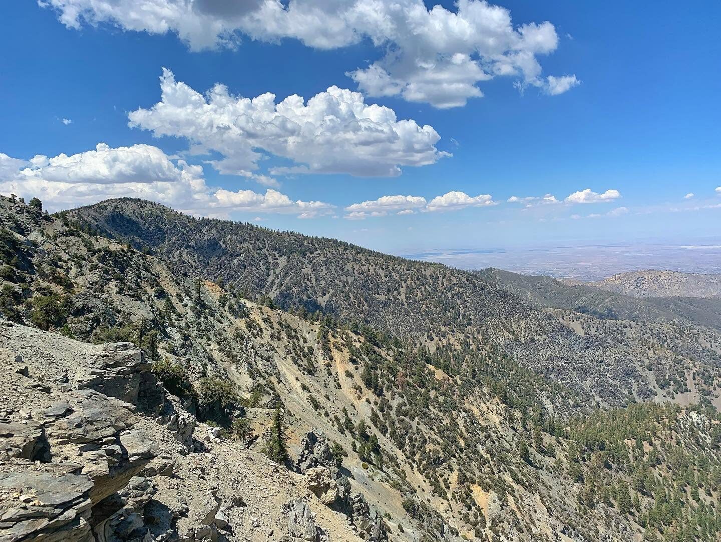
The way down was the real highlight — the Devil's Backbone Trail, a narrow, exposed ridge with steep drops on both sides connecting the summit to Baldy Notch, past Mount Harwood along the way. It's the kind of trail that gets your attention in all the right ways, wide open views the entire time with just enough exposure to keep things interesting.
At Baldy Notch, instead of walking the last few miles of fire road back down to the car, a cold beer at the restaurant was the perfect reward before hopping on the chairlift for an easy, scenic ride the rest of the way down — a nice way to end a hot, hard day on the highest peak in the range.
Comments