Rose Peak
Fourth Ascent — April 10, 2021 — Most Recent
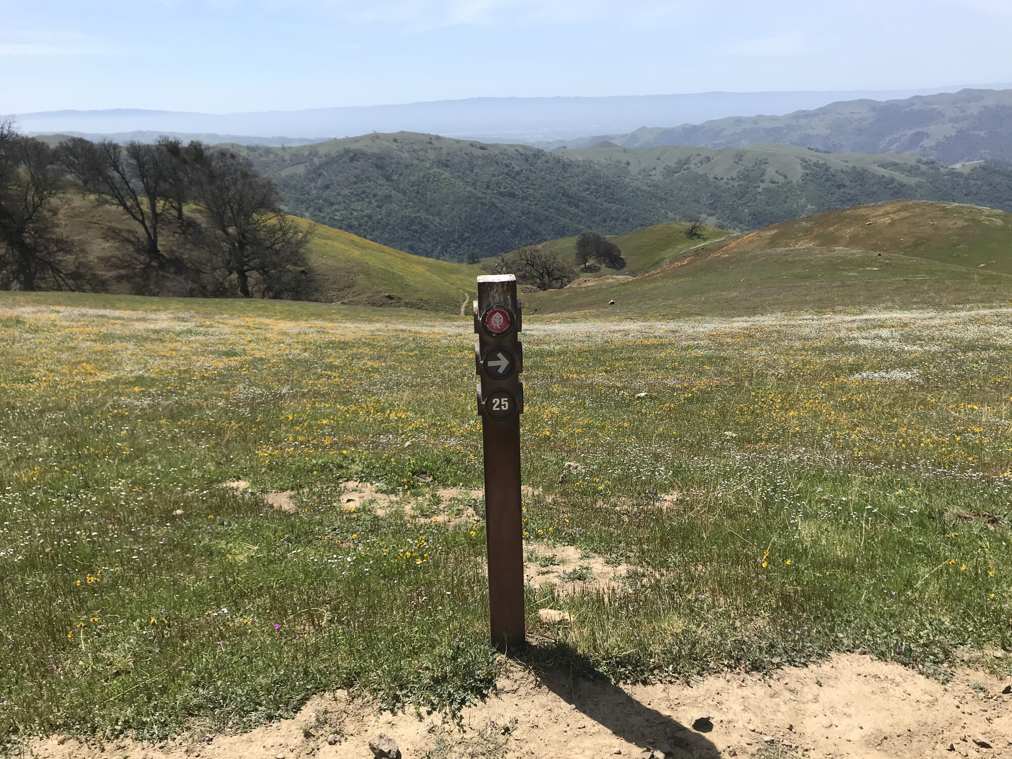
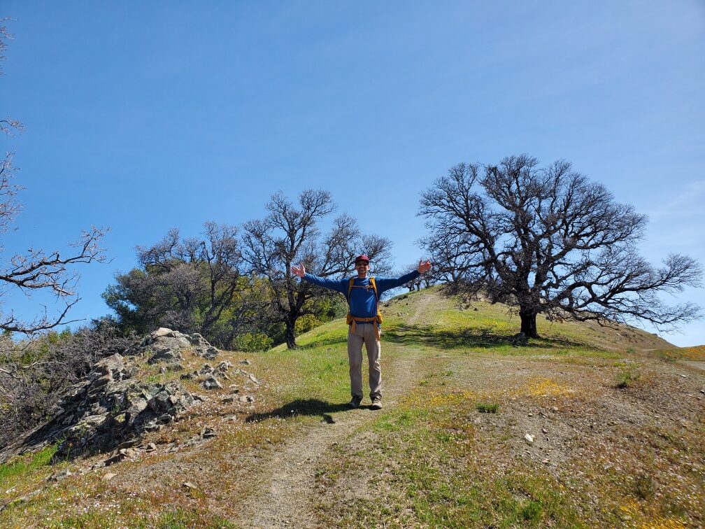
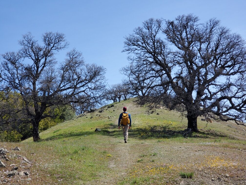
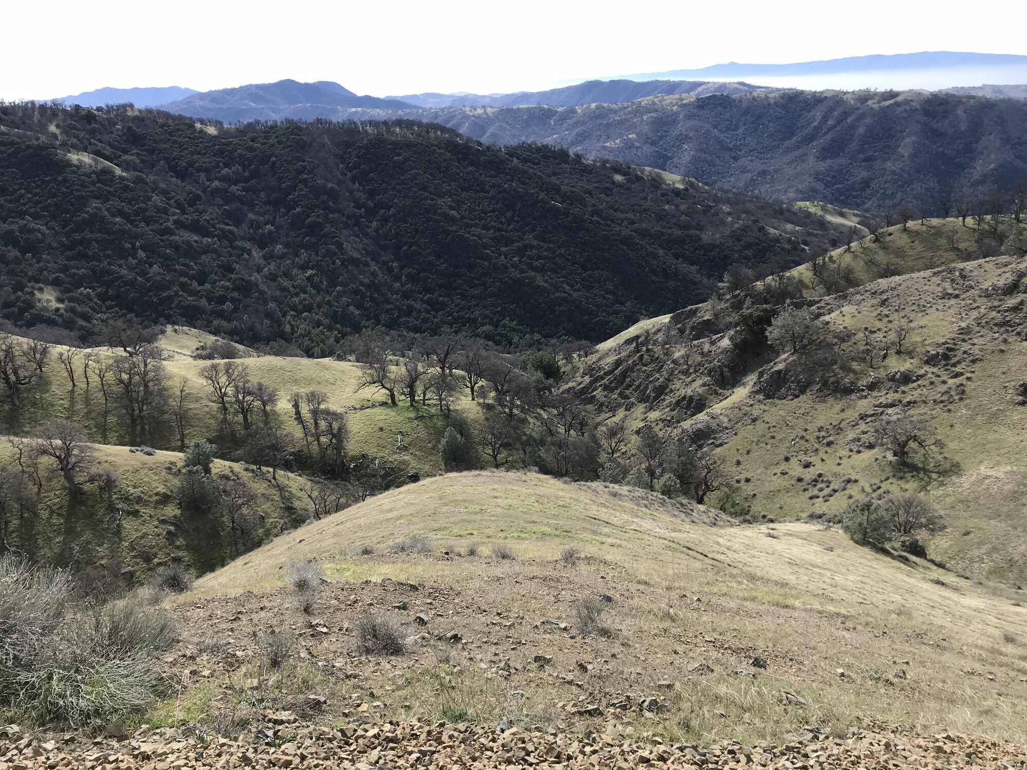
Rose Peak is the highest point in Alameda County that the public can actually reach, and getting there from the Sunol side means committing to a genuinely long day — nearly 19 miles round trip, climbing out of Sunol Regional Wilderness onto the Ohlone Wilderness Trail and following it deep into some of the most remote-feeling country left in the East Bay. The trail climbs out past Little Yosemite and the Sunol backpack camp before settling into a long, rolling ridge walk that just keeps going, mile after mile of grassy hills with barely another hiker in sight.
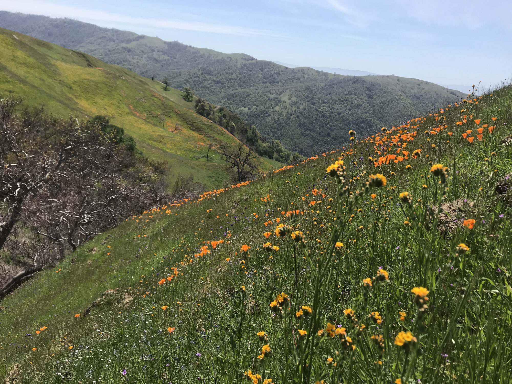
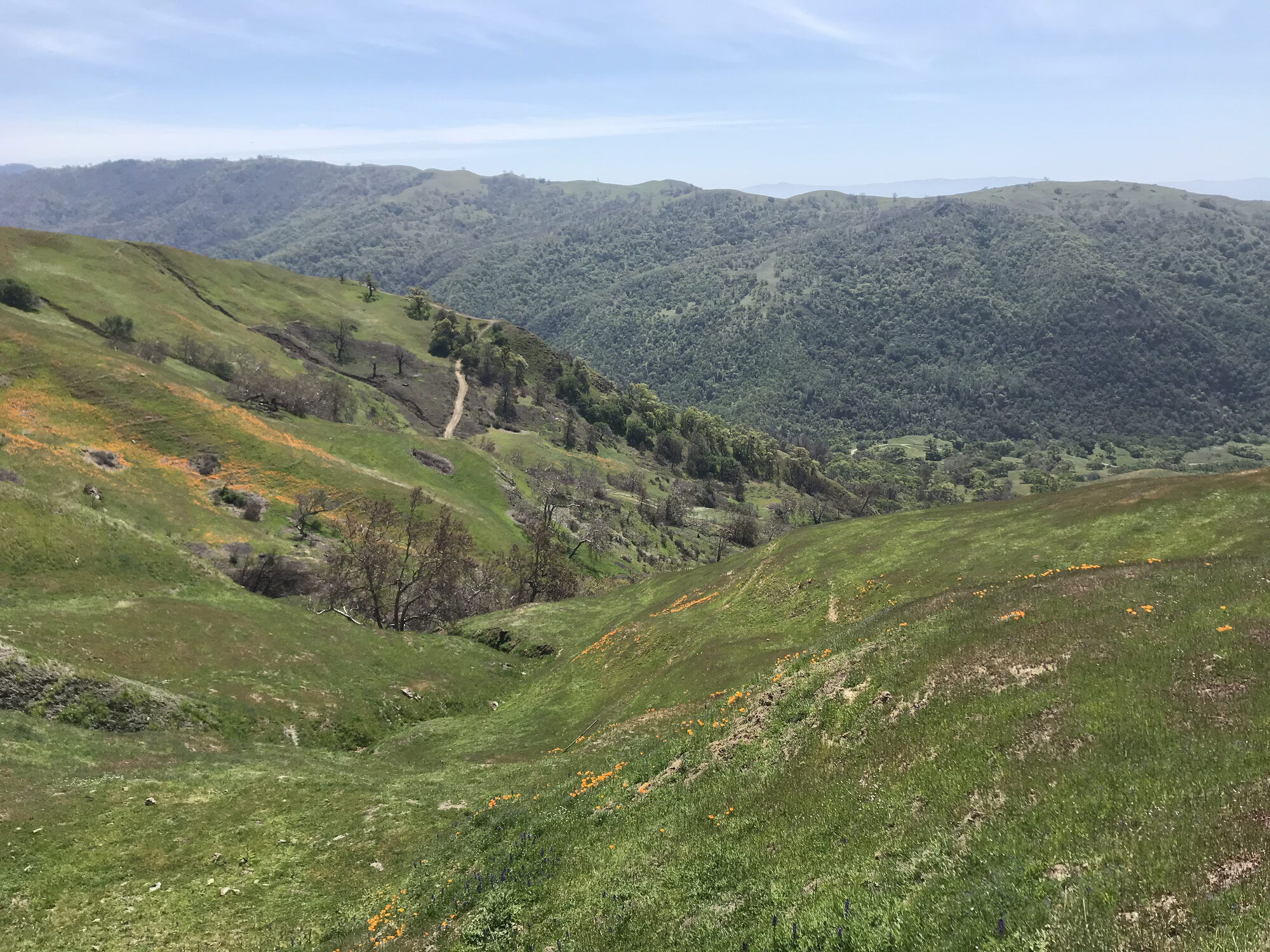
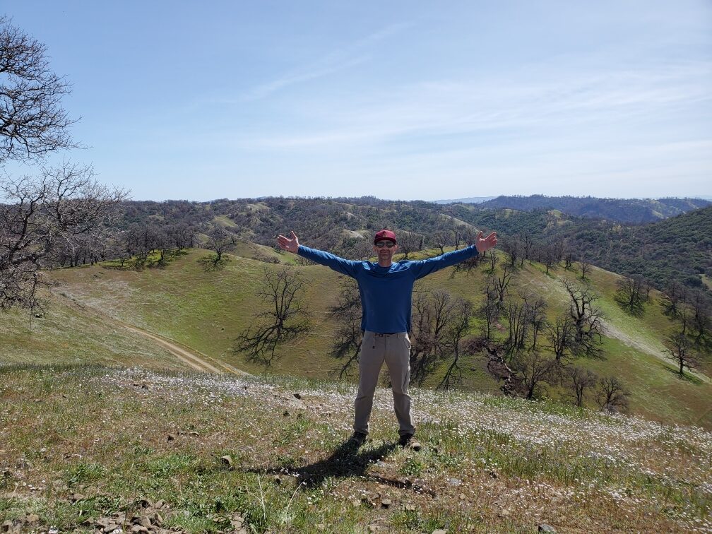
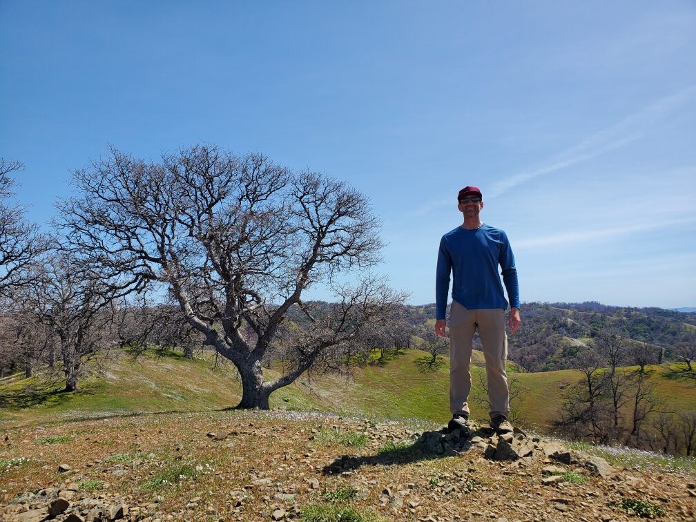
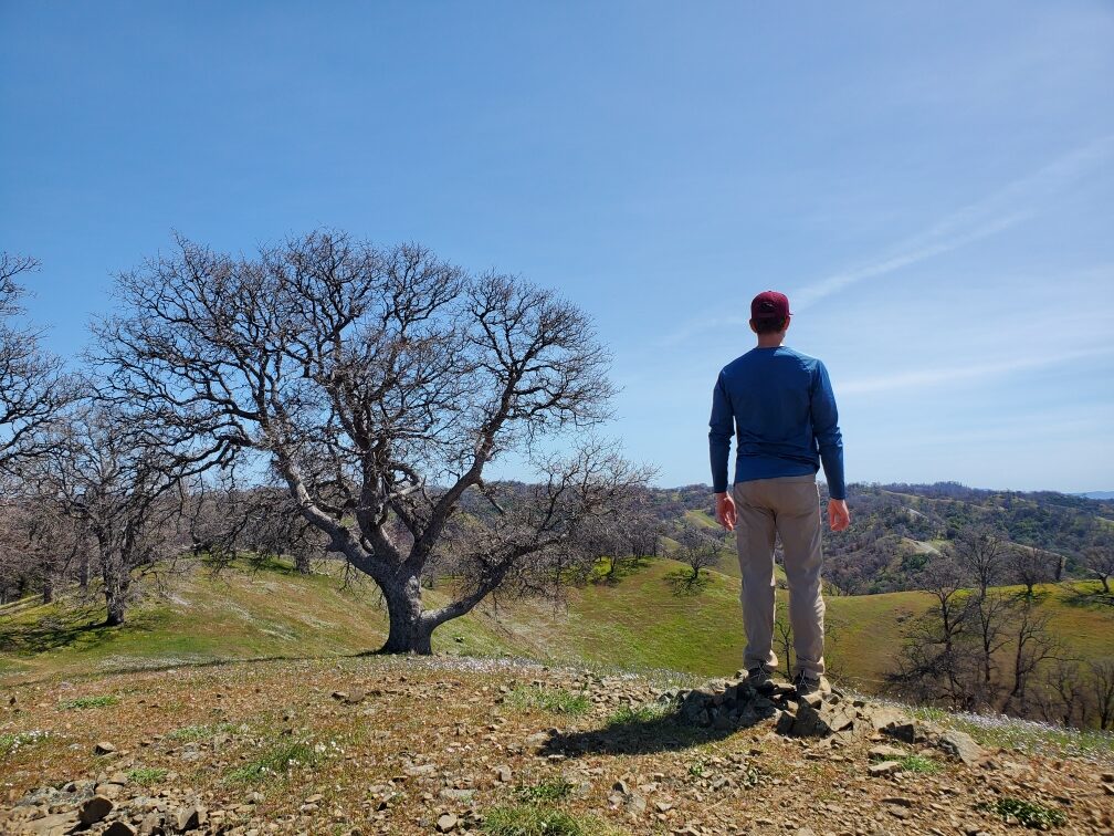
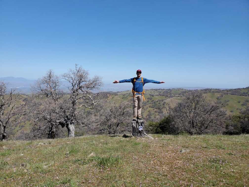
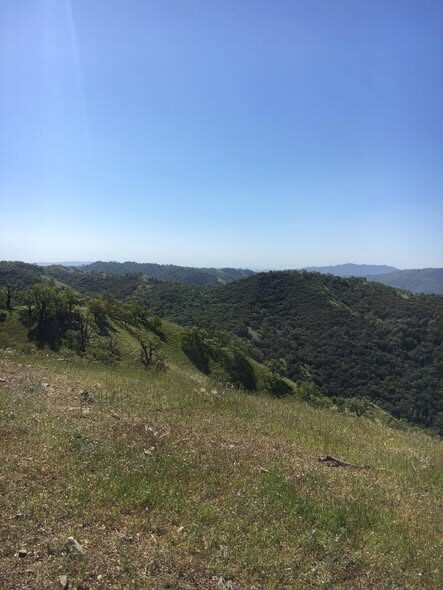
Early April meant the hills were still green and the wildflowers were out in force — whole hillsides streaked orange with California poppies, which made the relentless exposure a lot easier to forgive. There's almost no shade anywhere on this route, and the sense of isolation only grows the farther out you get; a few battered oak trees and old fence posts are about the only signs anyone's been through in a while, and the cattle grazing the hillsides outnumber the hikers by a wide margin.
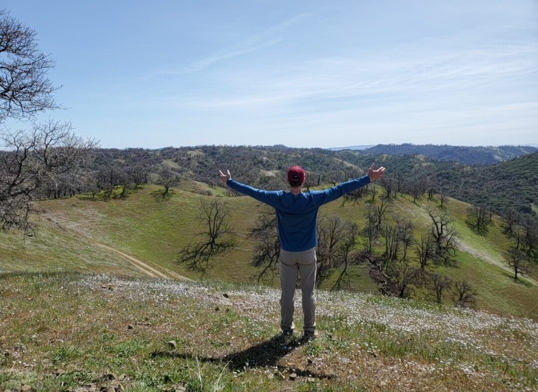
By the time the peak itself came into view, the light had gone long and gold, and the ridge that had felt endless in the early afternoon suddenly felt worth every mile — layers of hills fading into haze in every direction, with no roads, towns, or other real signs of the Bay Area anywhere in the frame. Two completely different approaches to the same summit within a month of each other: one foggy and frost-covered from Del Valle, one golden and wildflower-lined from Sunol.
Third Ascent — March 14, 2021
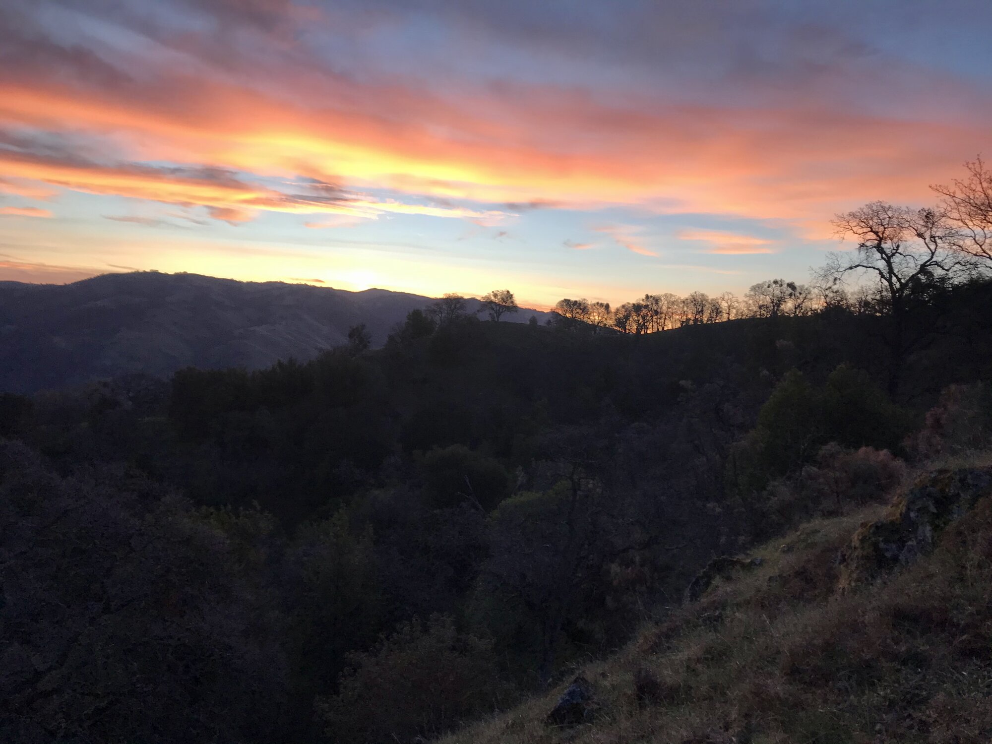
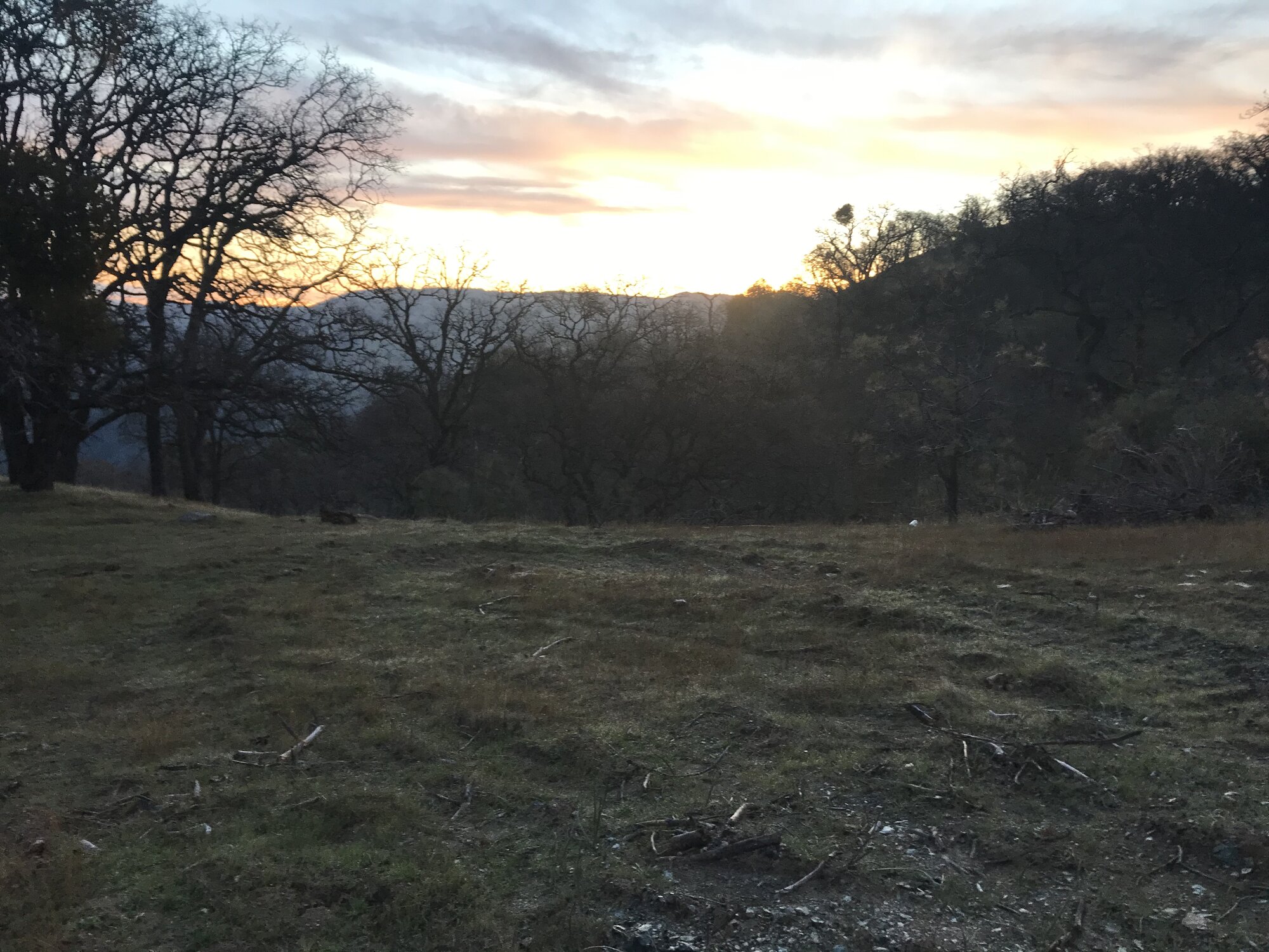
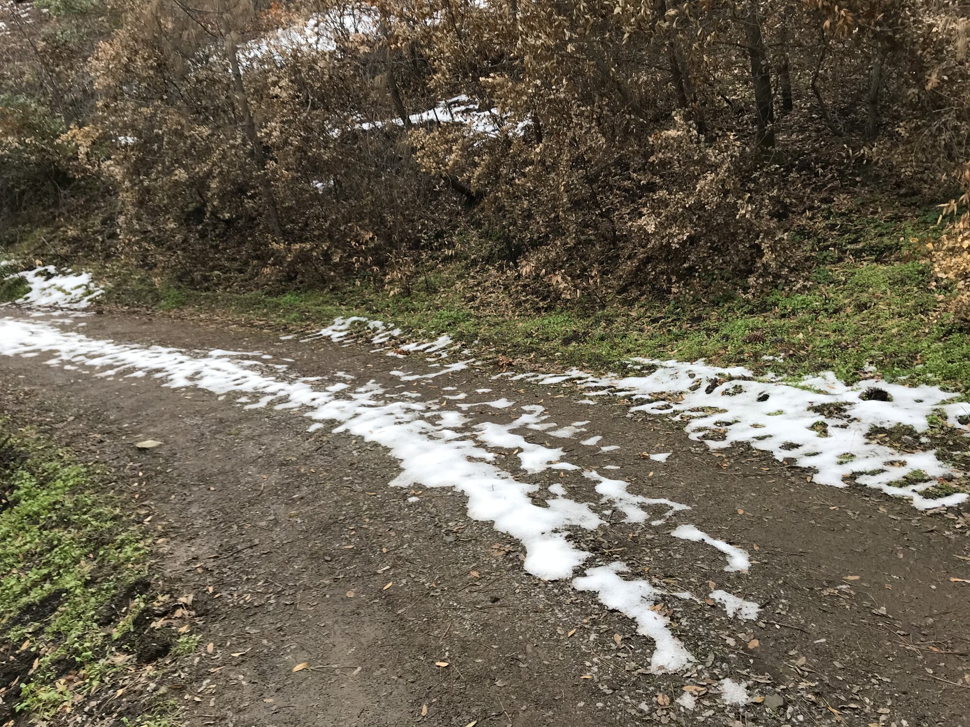
Back on the Livermore side for another round-trip out to Rose Peak, five years after the first. Doing the full round trip in a day again meant starting before the sun was up — the first stretch of trail happened in that strange pre-dawn light where the sky goes orange and pink before anything on the ground is properly visible. It was cold enough that the grass in the first open meadow was still crusted white with frost, which is not really what comes to mind when picturing a Bay Area hike in March.
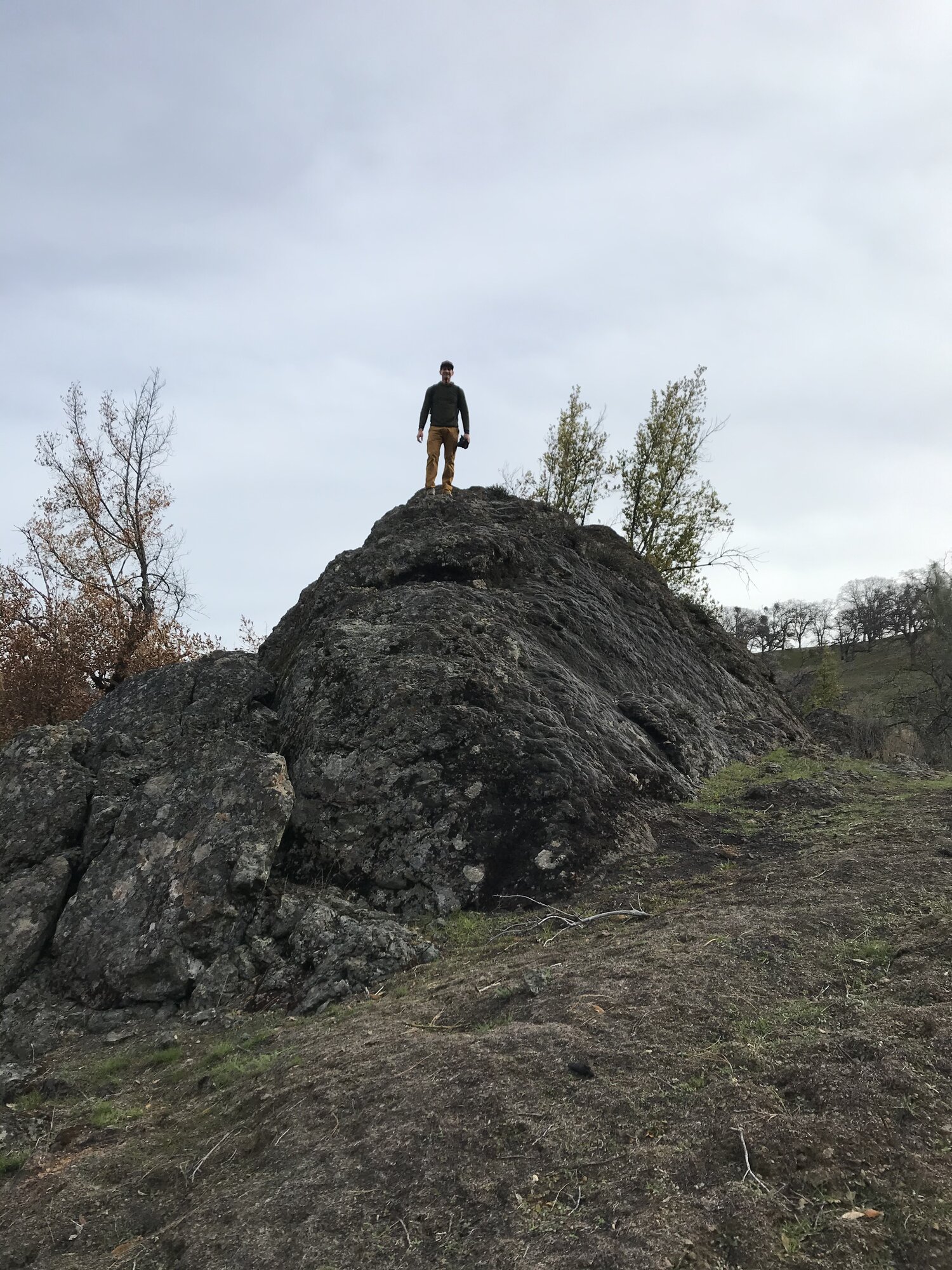
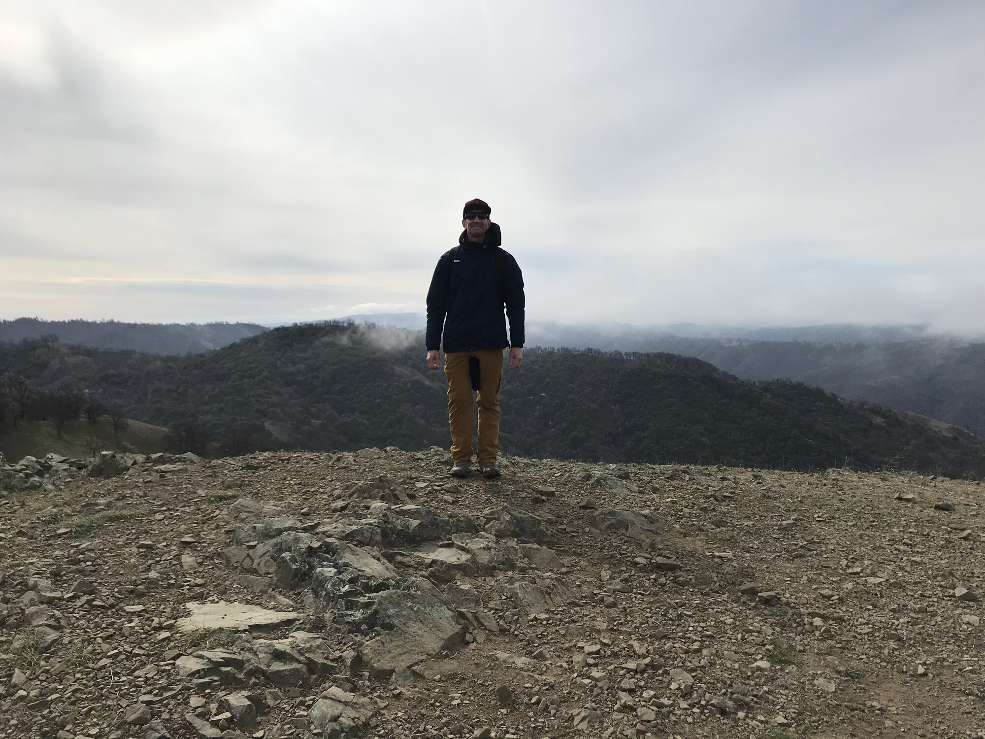
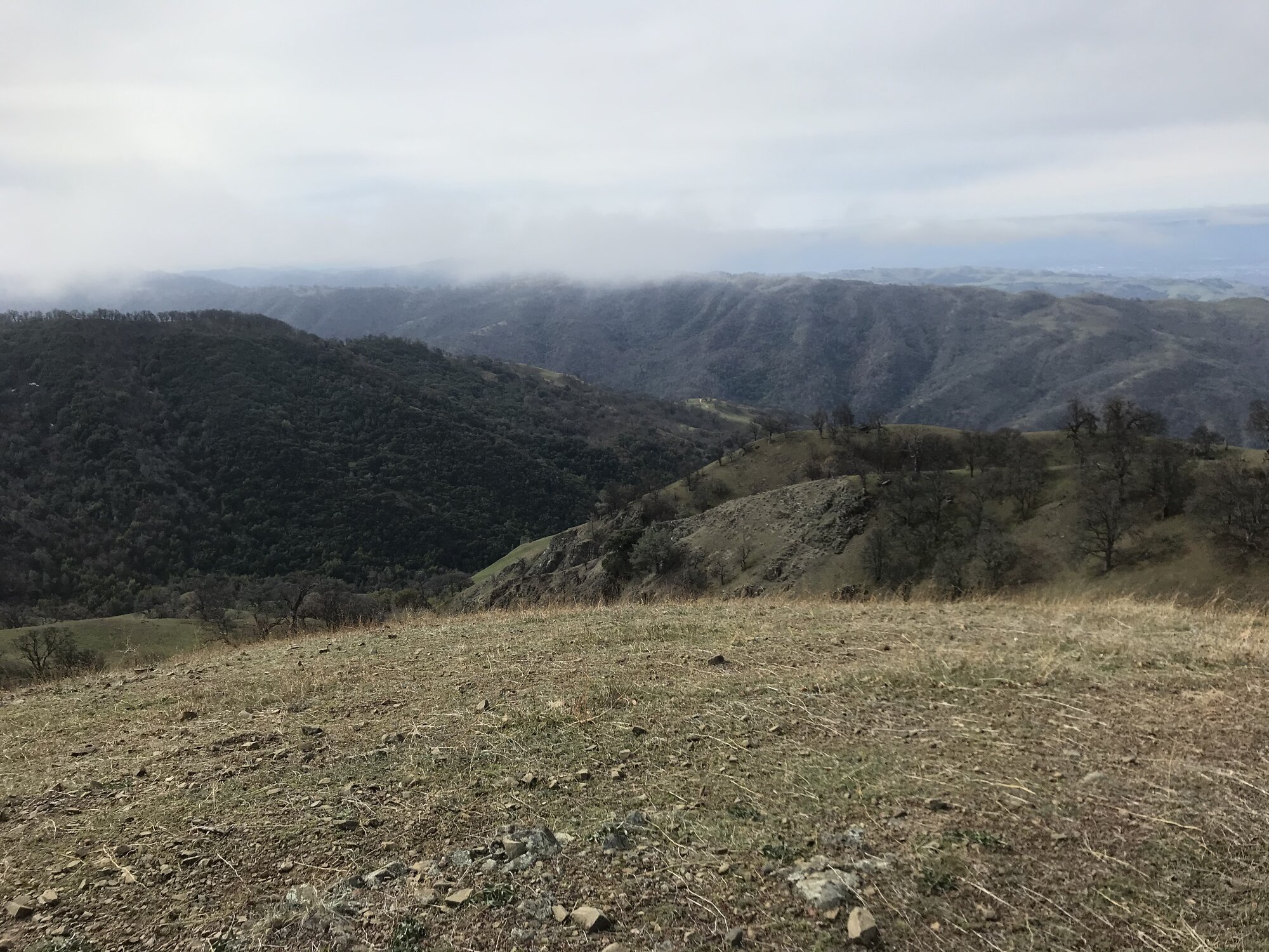
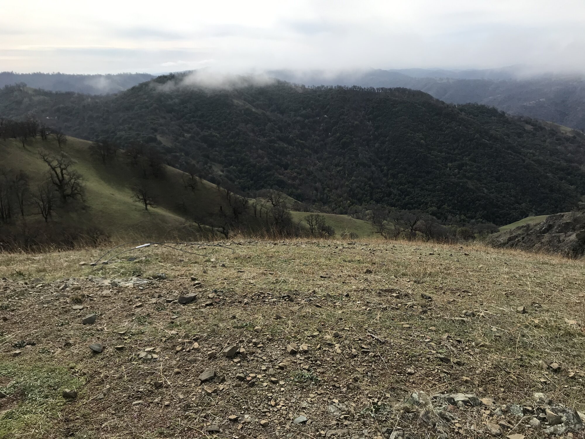
Low clouds and fog rolled through most of the day, drifting across the hillsides and swallowing the more distant ridgelines, which gave the whole hike a moodier, quieter feeling than the sunny wildflower version of this route most people picture. A massive lichen-covered boulder along the ridge made for an obvious place to stop and take in just how far from anything the trail had gone.
This would turn out to be the first of two very different ways up this same mountain that year.
Second Ascent — February 10, 2018
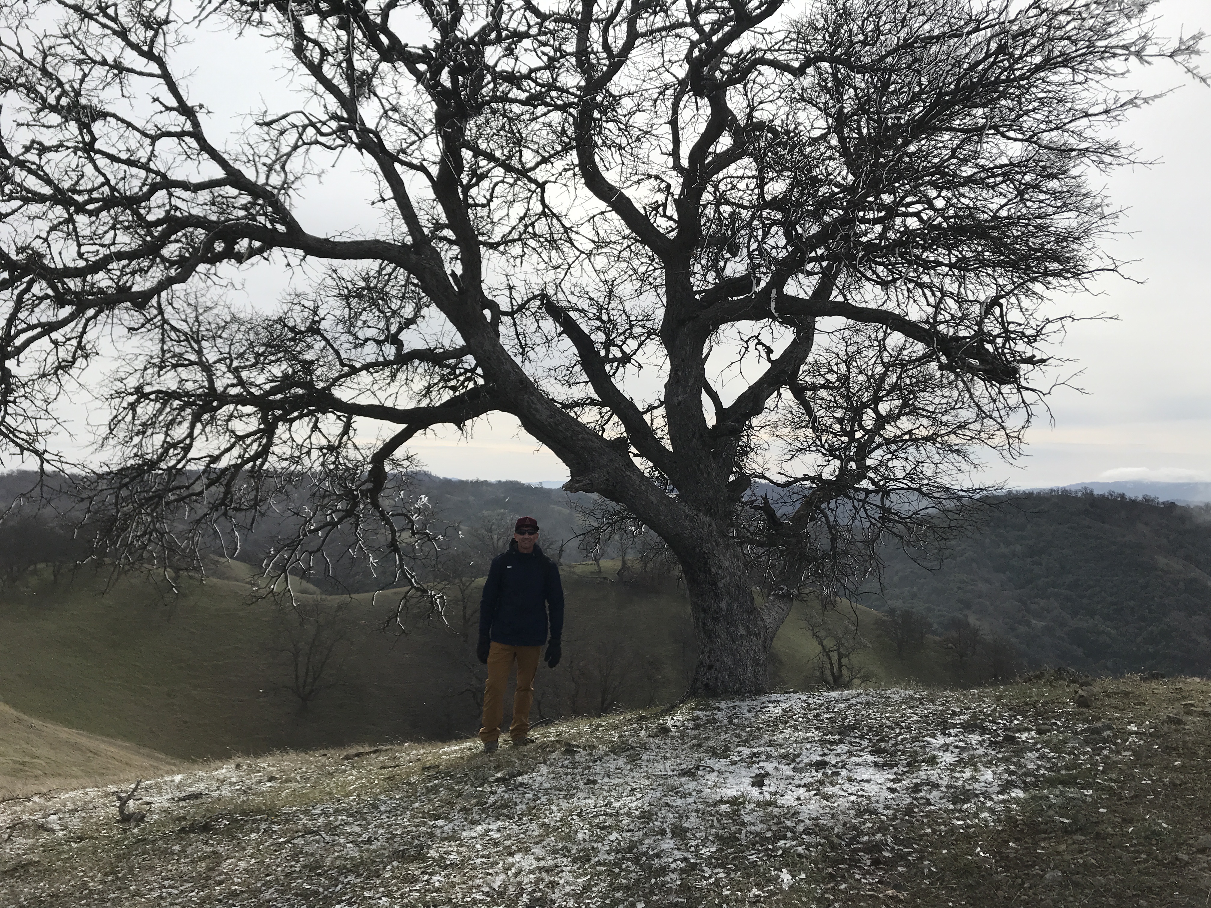
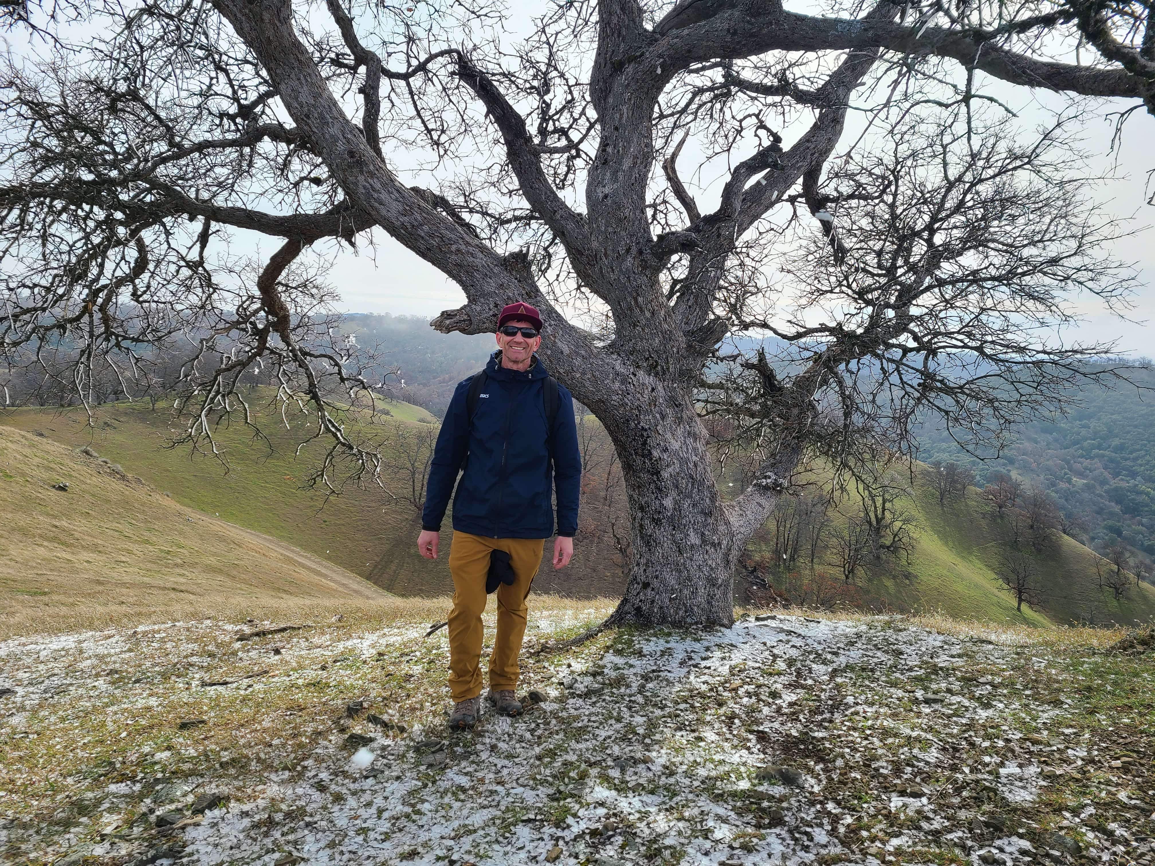
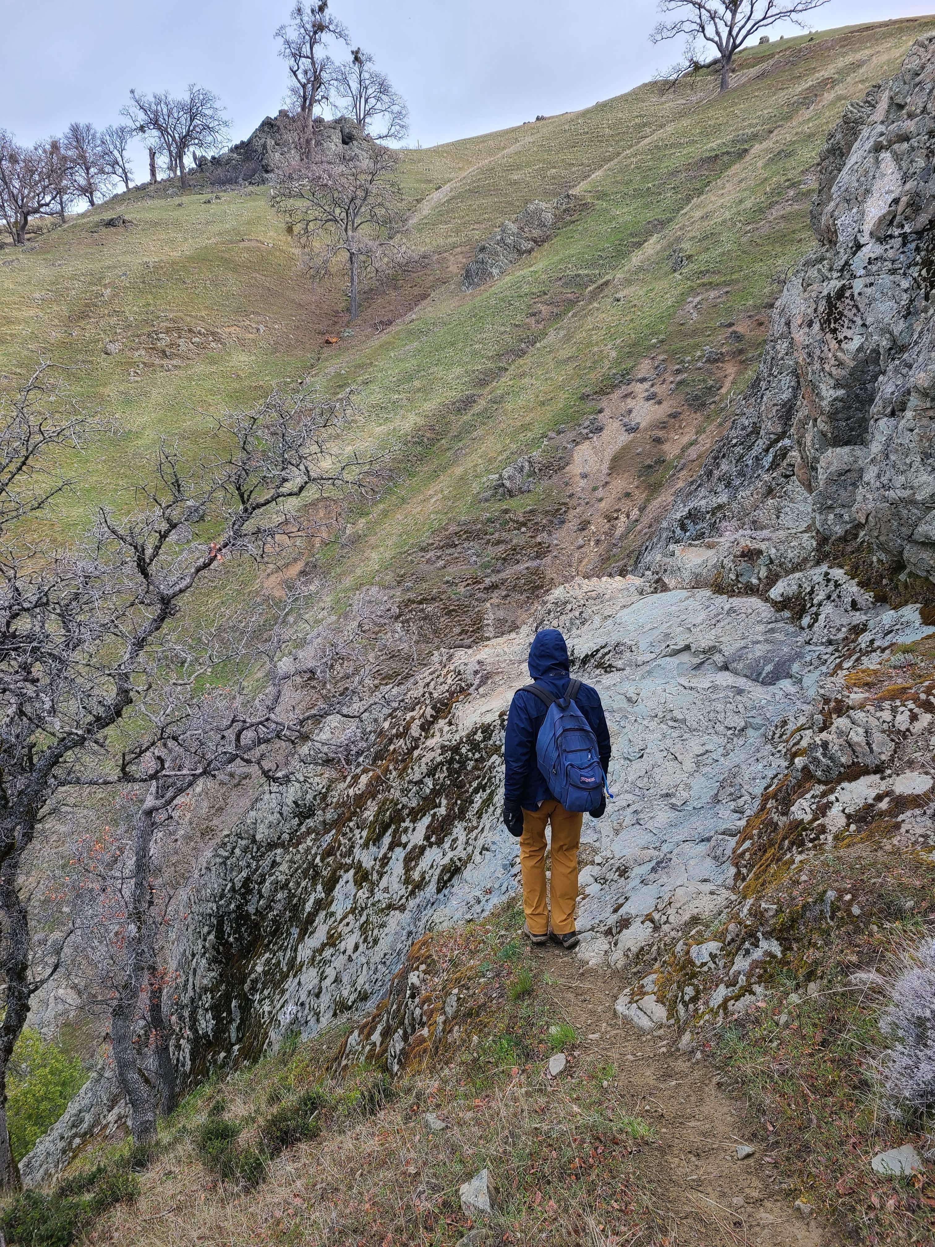
Back out to Rose Peak from the Sunol side, just under two years after the first trip out via Del Valle. Doing the full round trip in a day again meant an early start and a long one — nearly 20 miles round trip with nothing but ranch roads, single-track, and the occasional gnarled old oak standing alone on a ridge between the trailhead and the summit.
The Ohlone Wilderness Trail out of Sunol covers some seriously remote ground for how close it sits to the Bay Area's suburbs, and Rose Peak means earning every foot of the nearly 4,700 feet of elevation gain on this route — long sustained climbs and almost no one else out there all day.
A good reminder of why this remains one of the biggest single-day efforts in the East Bay hills, and worth coming back to.
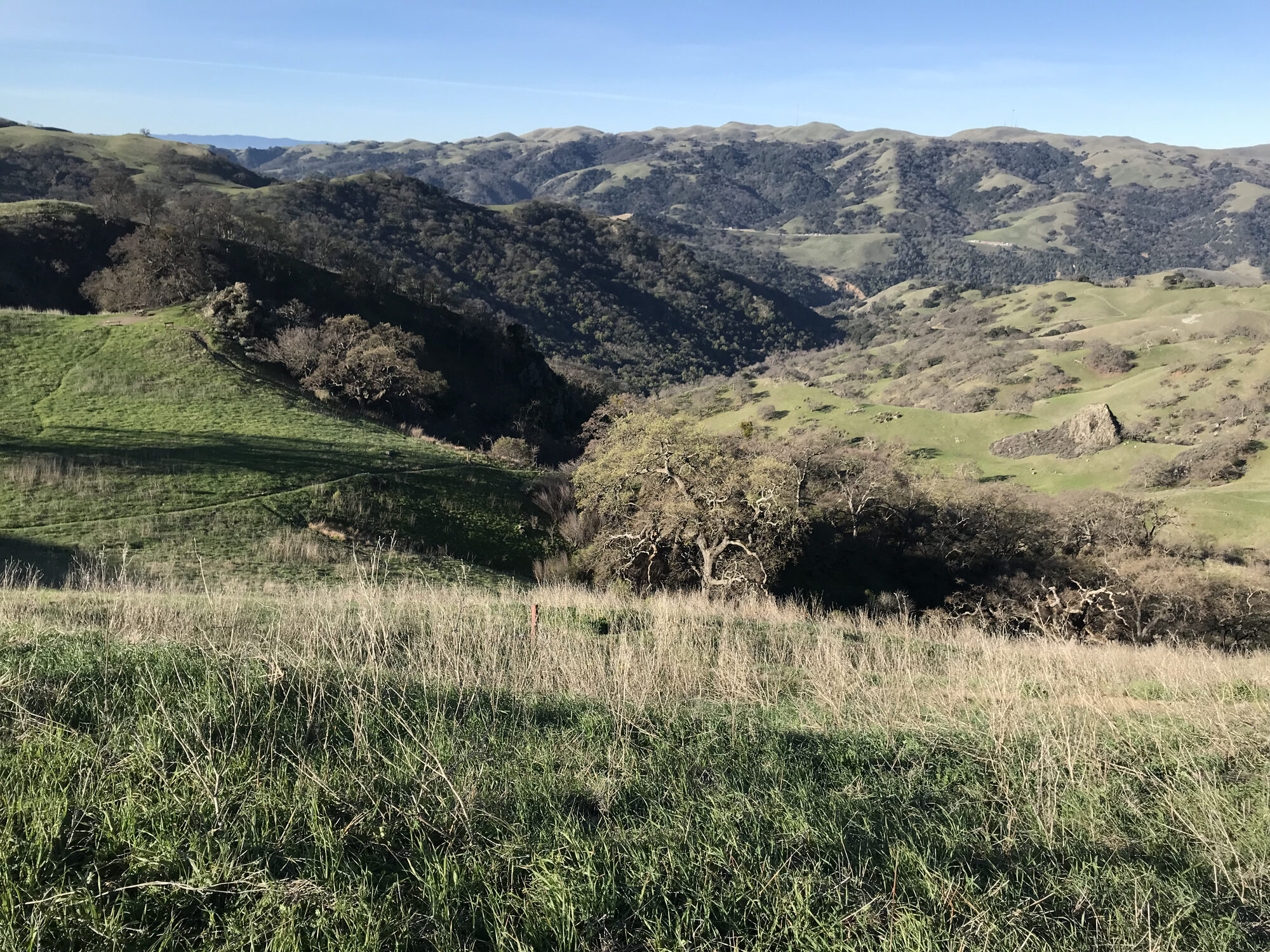
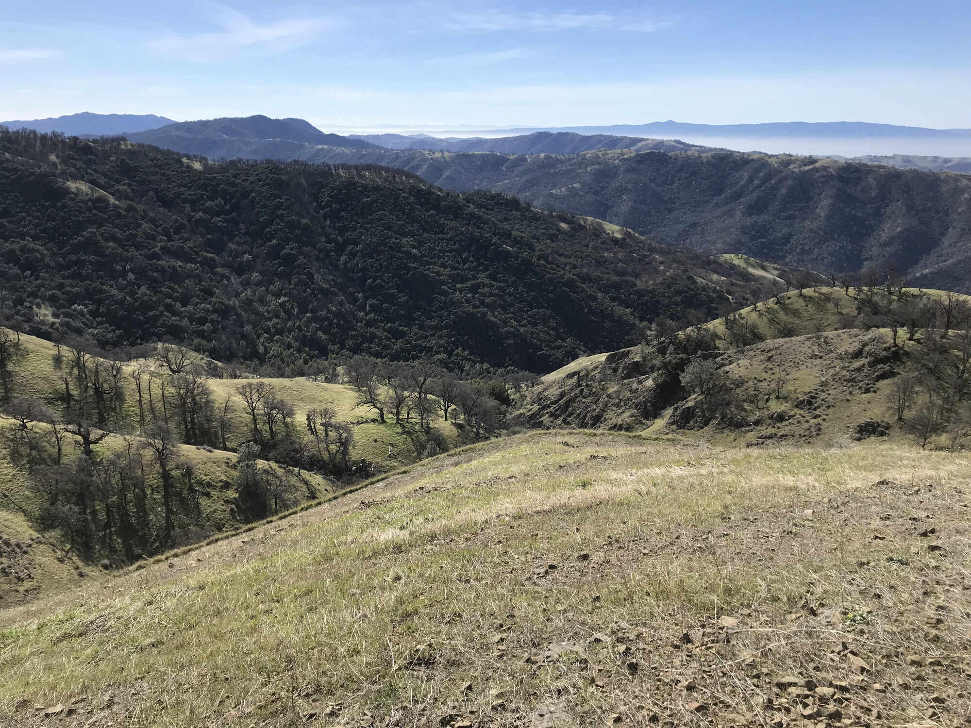
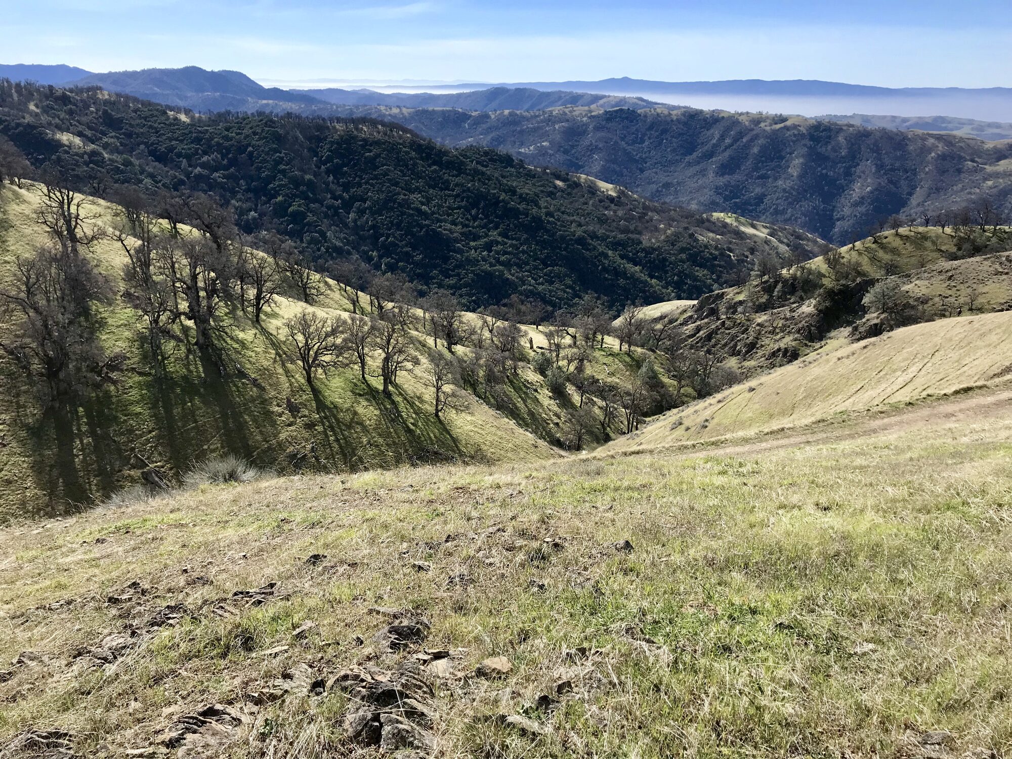
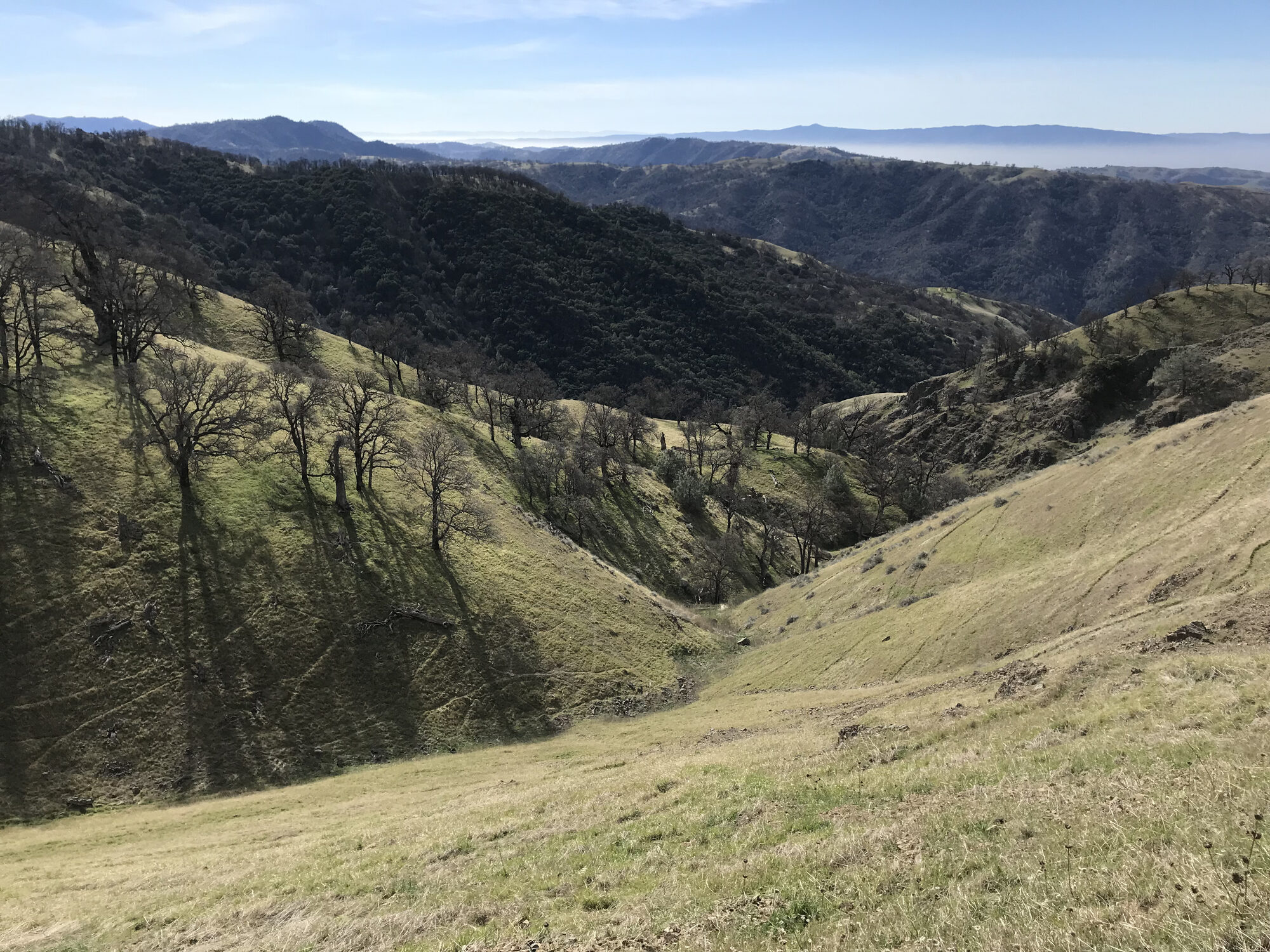
First Ascent — April 30, 2016
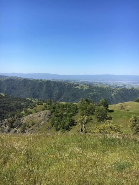
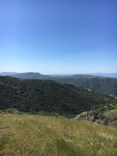
The Livermore approach to Rose Peak starts from Del Valle Regional Park, and doing the full round trip in a day means an early start and a long one — the Ohlone Wilderness Trail from Del Valle covers some seriously remote ground for how close it sits to the Bay Area's suburbs, rolling hills, grazing cattle, and long stretches where the only company is the wind.
Rose Peak itself, at 3,817 feet, is the highest point the public can actually reach in Alameda County, and getting there from Del Valle means earning every foot of climbing along the way — long sustained grades, ranch roads, single-track, and the occasional gnarled old oak standing alone on a ridge between the trailhead and the summit. My phone's step tracker had the day at well over 46,000 steps and close to 300 floors climbed by the time I was back at the car, which tells you everything about how big a day this was.
This was my first trip out to Rose Peak, and it set the tone for a mountain I'd keep coming back to — remote, quiet, and one of the biggest single-day efforts anywhere in the East Bay hills.
Comments