Mount Diablo Six Peaks + Waterfalls
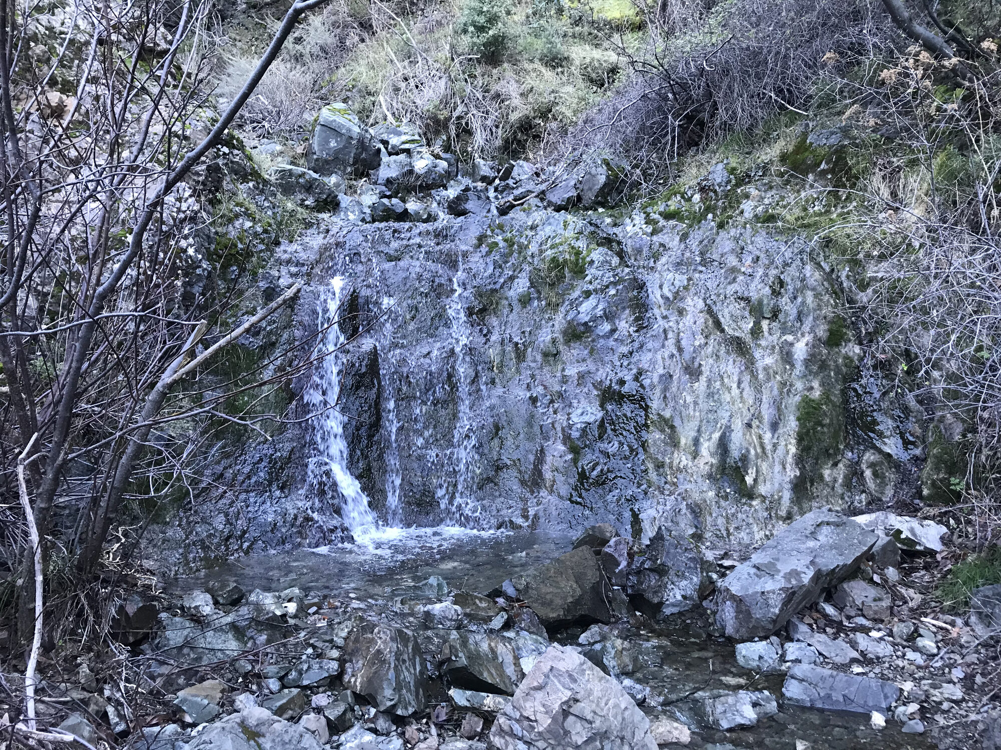
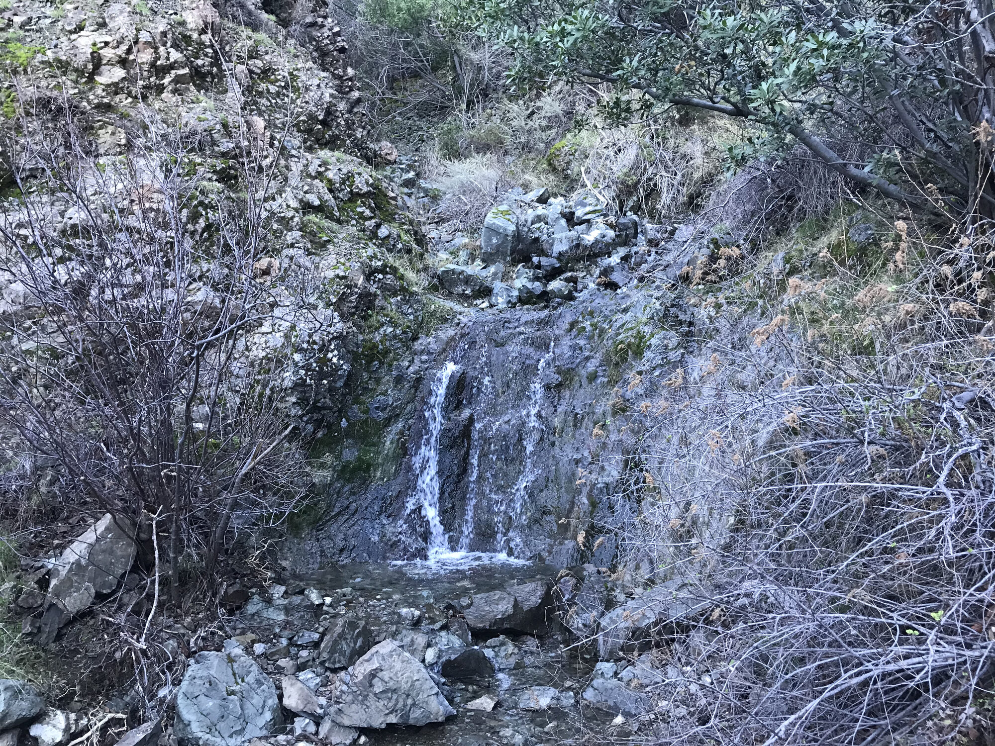
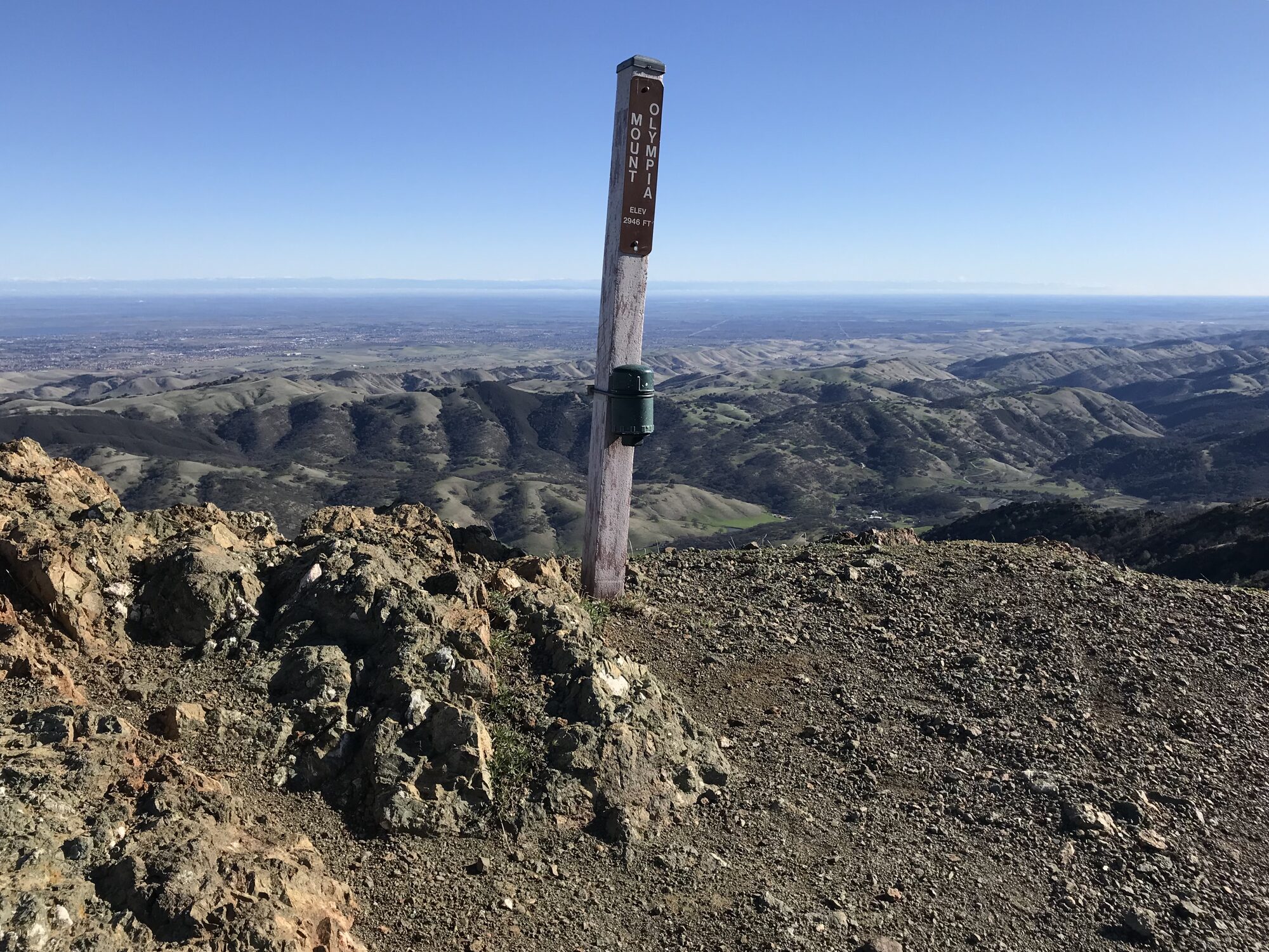
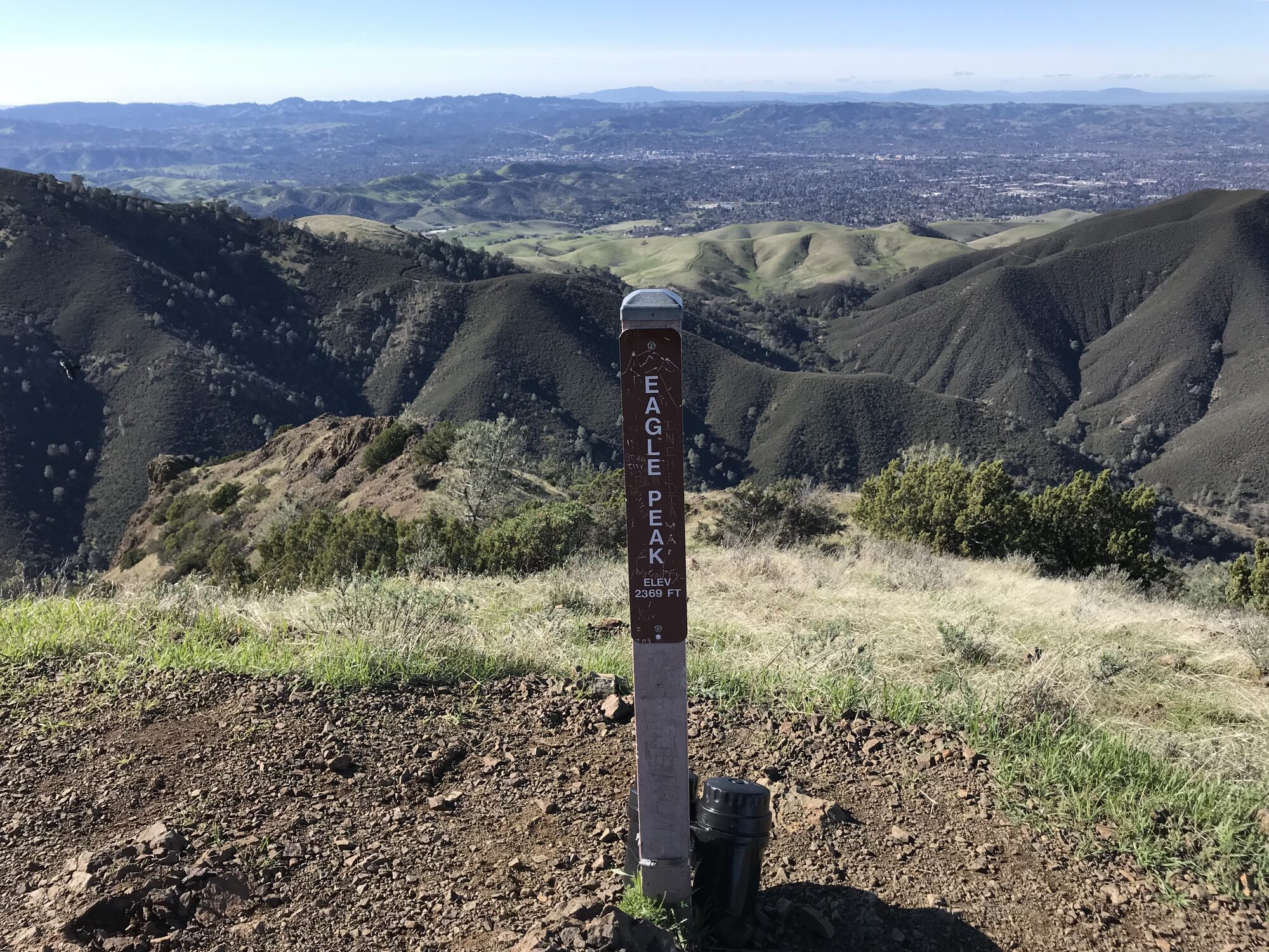
January meant one thing this route doesn't always offer: water. With recent rain in the forecast, this trip through Donner Canyon added a detour out onto the Falls Trail before continuing on to the standard Six Peaks circuit — Mount Olympia, North Peak, Mount Diablo, Eagle Peak, Twin Peaks, and Mitchell Rock, all strung together out of Mitchell Canyon.
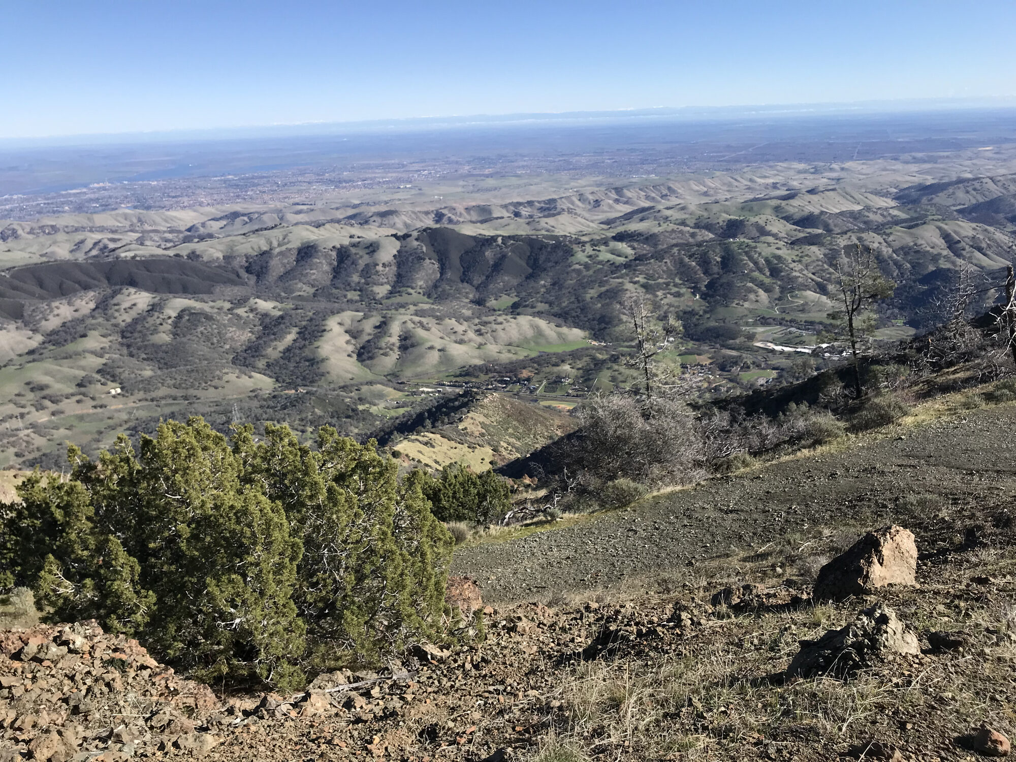
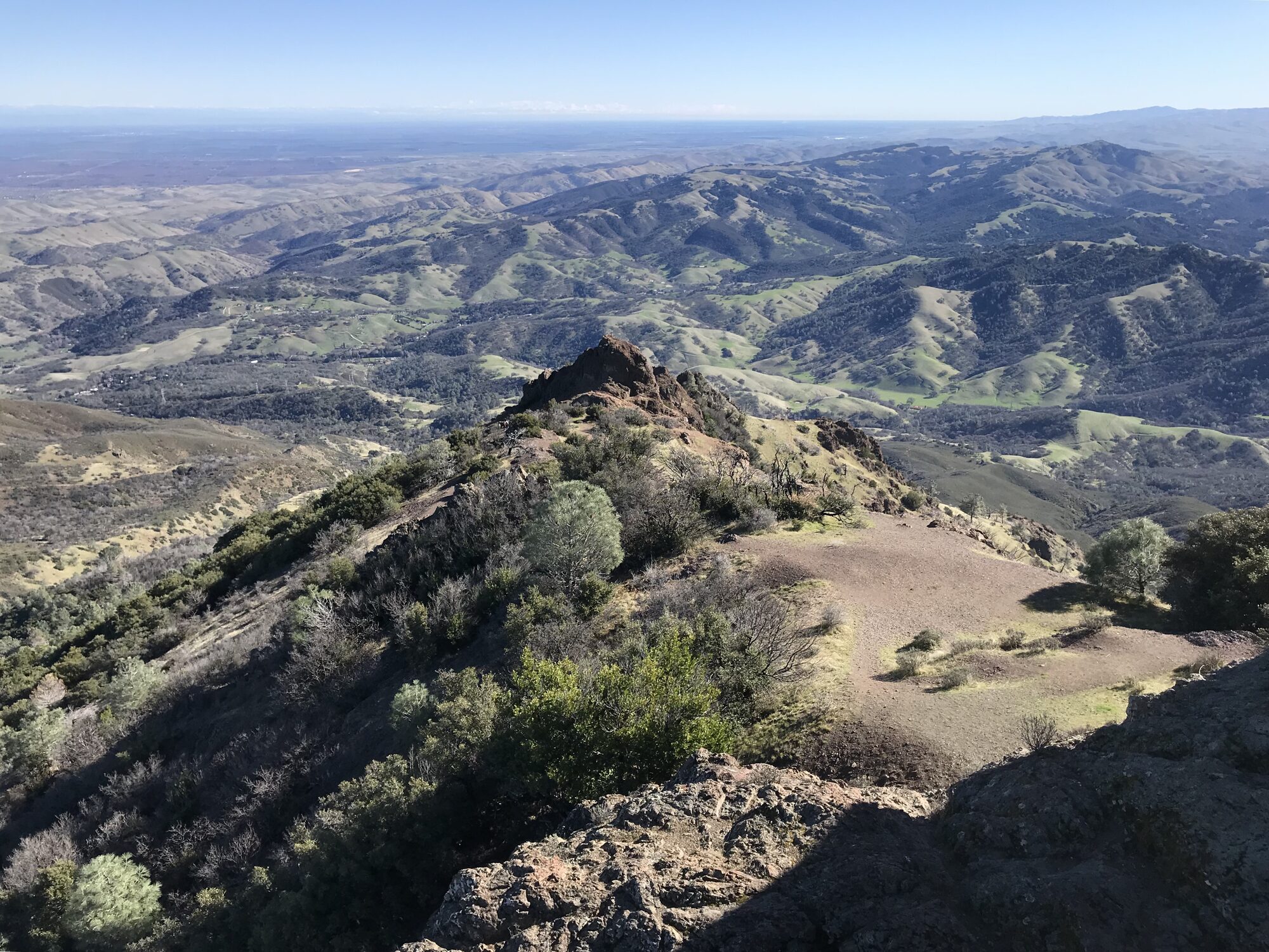
The seasonal waterfalls along the Falls Trail only run after real rain, and they turned what's normally a dry, exposed grind through the canyon into something genuinely scenic early in the day — worth the extra couple of miles before turning back toward the main event. From there it was business as usual: Olympia's brutally steep pitch, North Peak's quiet, road-less summit, Diablo's crowded high point with its visitor center and ice cream sandwiches, Eagle Peak's knife-edge ridge, and Mitchell Rock's rust-red pillow basalt closing out the loop.
Sixteen miles and about 4,700 feet of gain by the end of it — a bit longer than the standard loop thanks to the waterfall detour, but well worth it for catching this canyon at one of the only times of year it actually has water flowing through it.
Photos
Comments