Las Trampas Peak
Second Ascent — January 28, 2023 — Most Recent
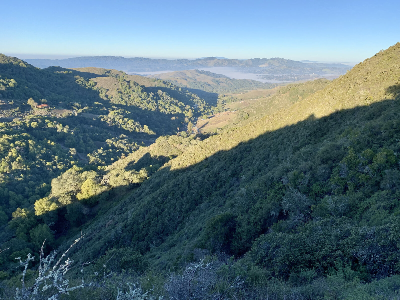
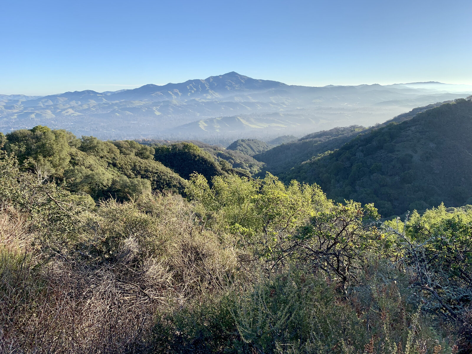
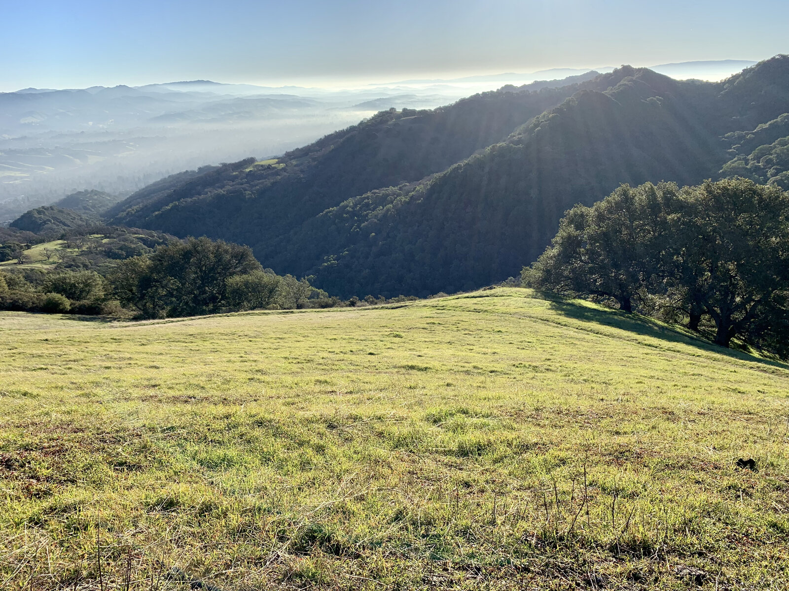
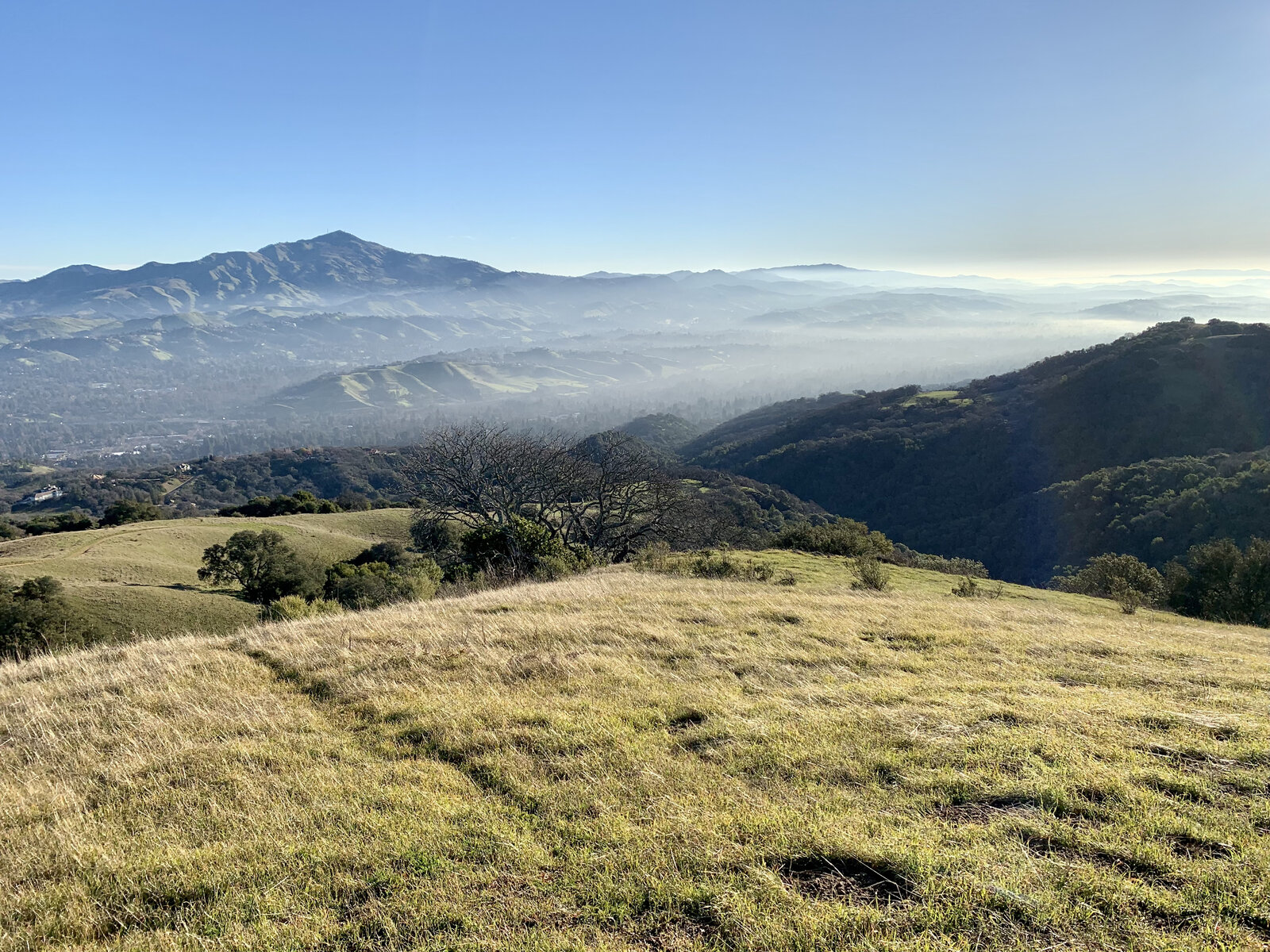
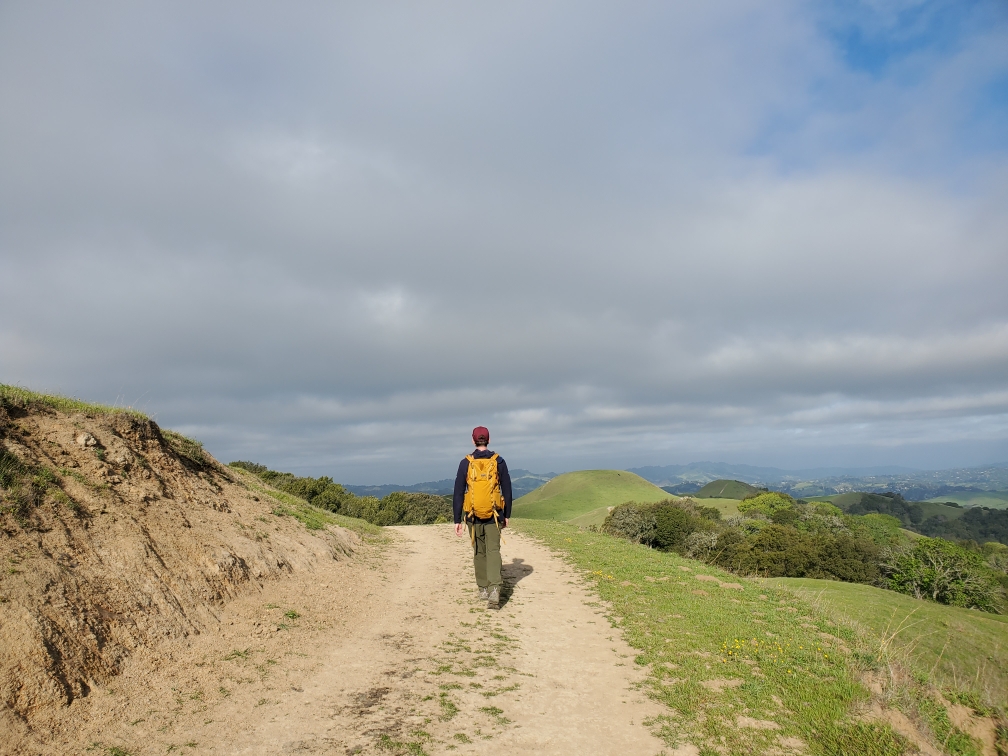
Back to Las Trampas for a longer version of the loop, and this time the whole park was a completely different color — weeks of winter rain had turned every hillside a deep, saturated green, the kind of shade these grassy East Bay ridges only hold for a few weeks a year before the heat fades it back to gold.
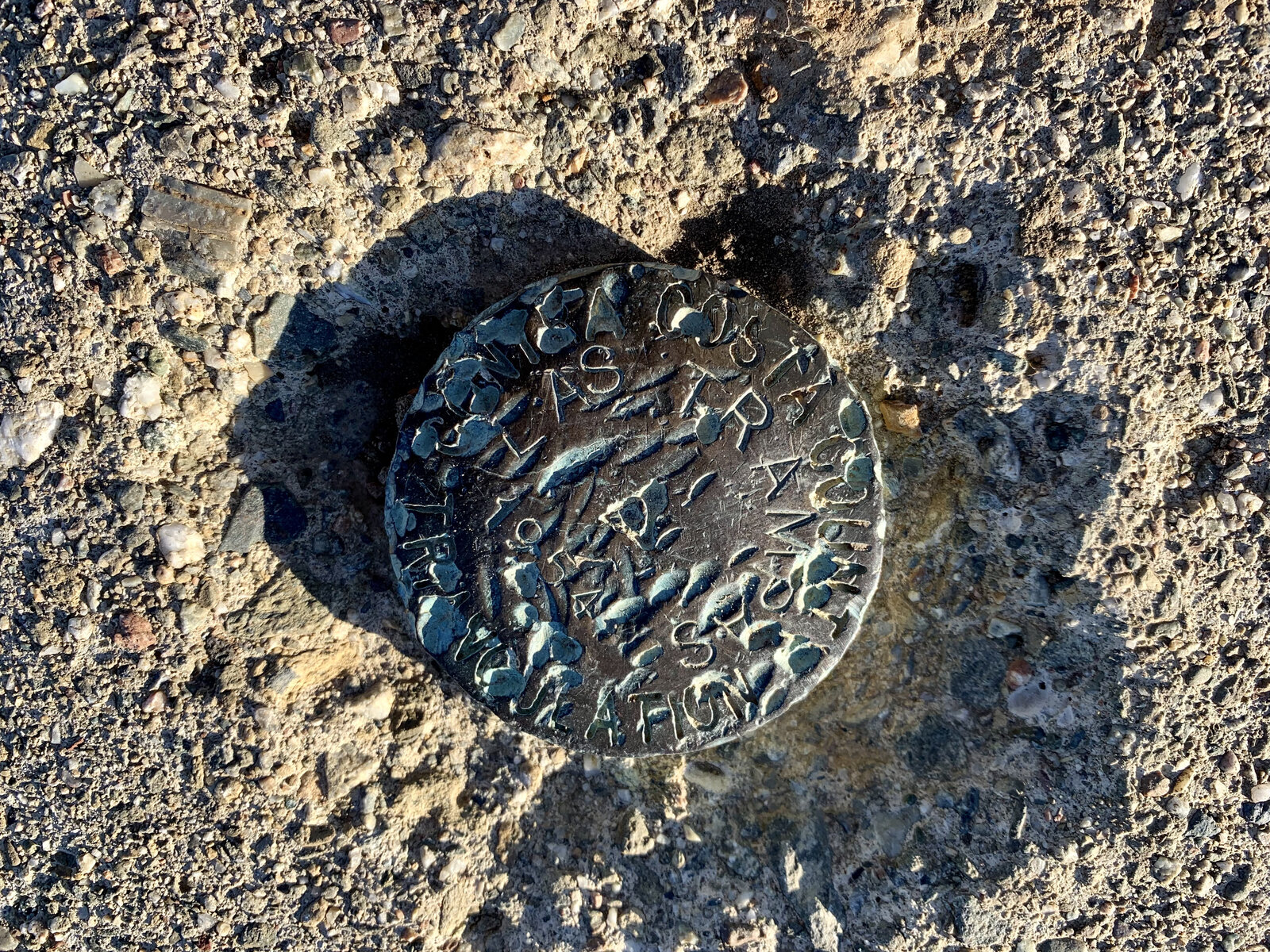
Ten and a half miles this time instead of the shorter 7.8-mile loop from the first trip, with long stretches of open ridge looking straight across at Mount Diablo through the haze. Right near the summit area, an old survey benchmark disk was set into the rock — heavily corroded and hard to read after decades in the weather, but a nice bit of history to stumble across on a peak that otherwise barely announces itself.
A genuinely beautiful day out there — green hills, clear views of Diablo, and a longer, more thorough exploration of a park that's easy to underestimate.
First Ascent — April 3, 2021
Las Trampas doesn't get talked about as much as Diablo or Mission Peak, but it's earned its local reputation as one of the tougher East Bay parks — the climb out of Bollinger Canyon gets steep fast, and once you're up on the ridge, the trail keeps rolling up and down over false summit after false summit instead of settling into a clean, predictable grade. It's the kind of park where the elevation gain numbers undersell how much actual climbing you end up doing.
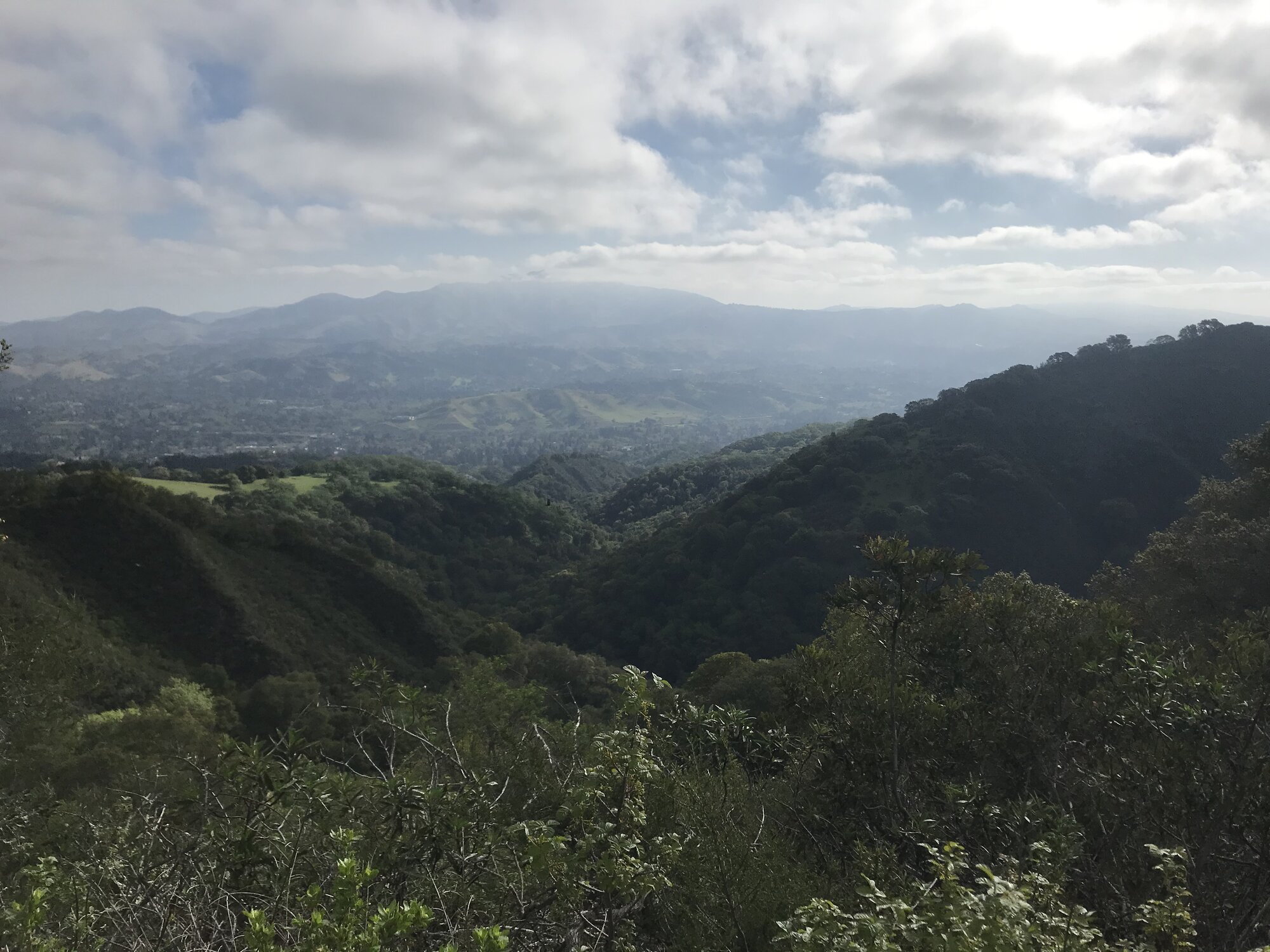
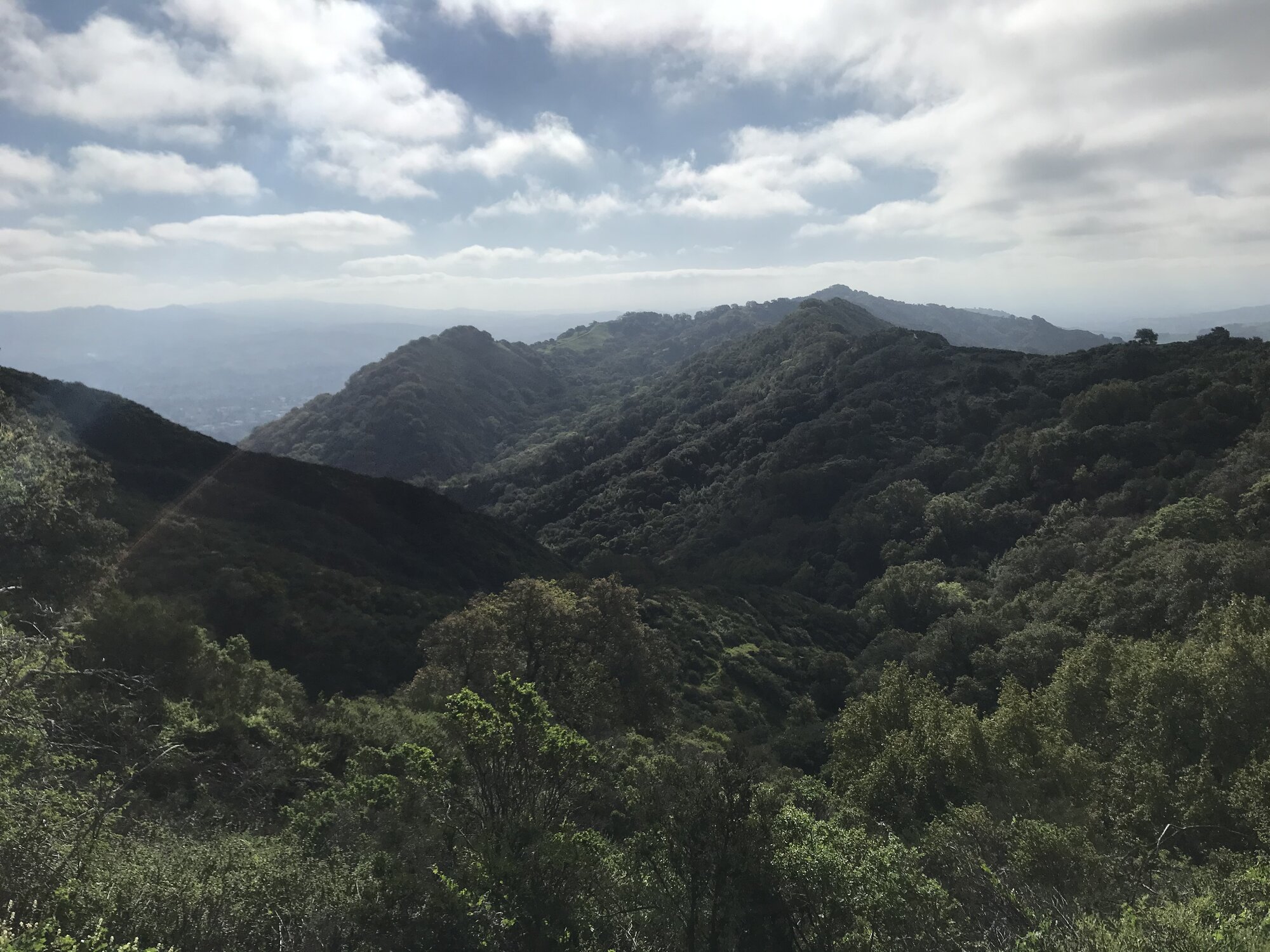
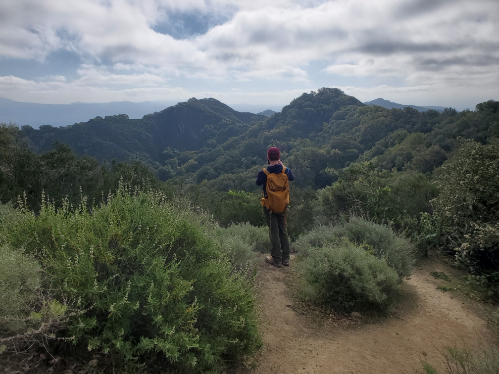
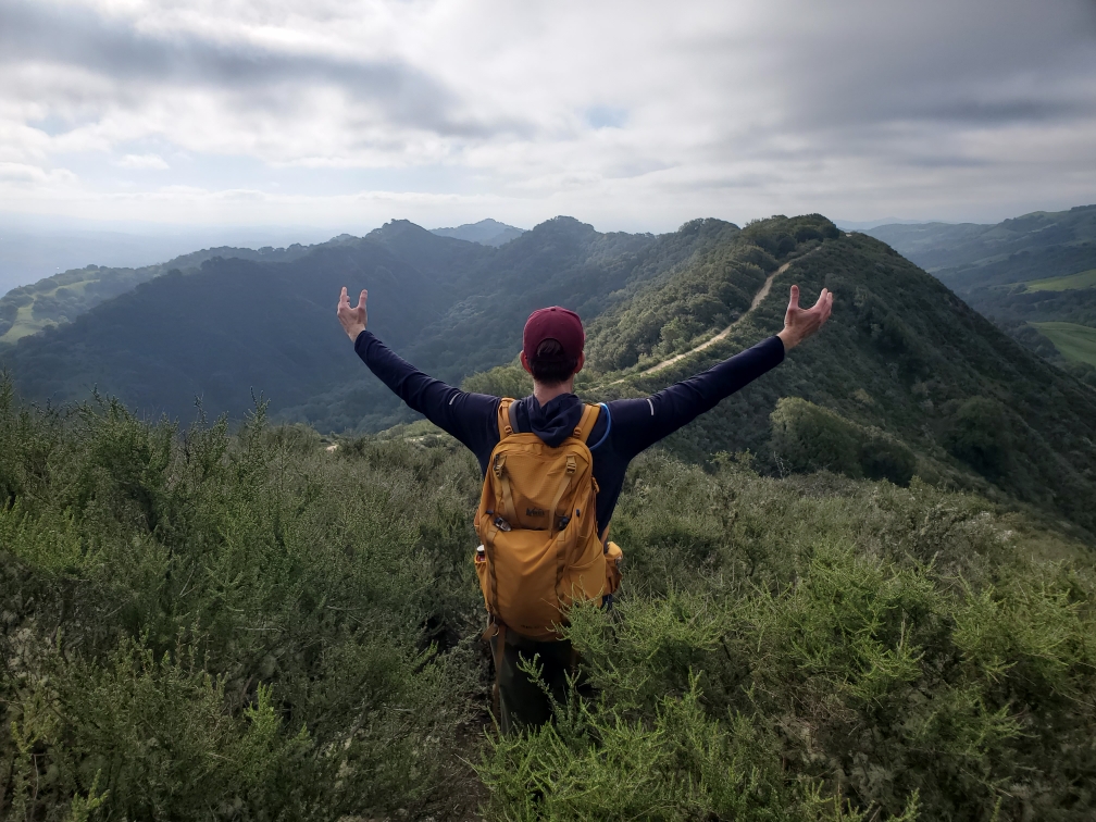
The ridge itself swings between shaded oak and bay forest and open, wind-scoured grassland, with the vegetation shifting to chamise and buck brush the higher you climb. Cattle graze large sections of the park, and the trail crosses through more than one gate strung across the ridge to keep them contained. Las Trampas Peak tops out at a modest 1,827 feet, marked by little more than a patch of open dirt next to an oak tree, but the view earns the climb — Mount Diablo rising to the east, the San Ramon Valley spread out below, and on a clear day the hills roll on toward the Bay in the other direction.
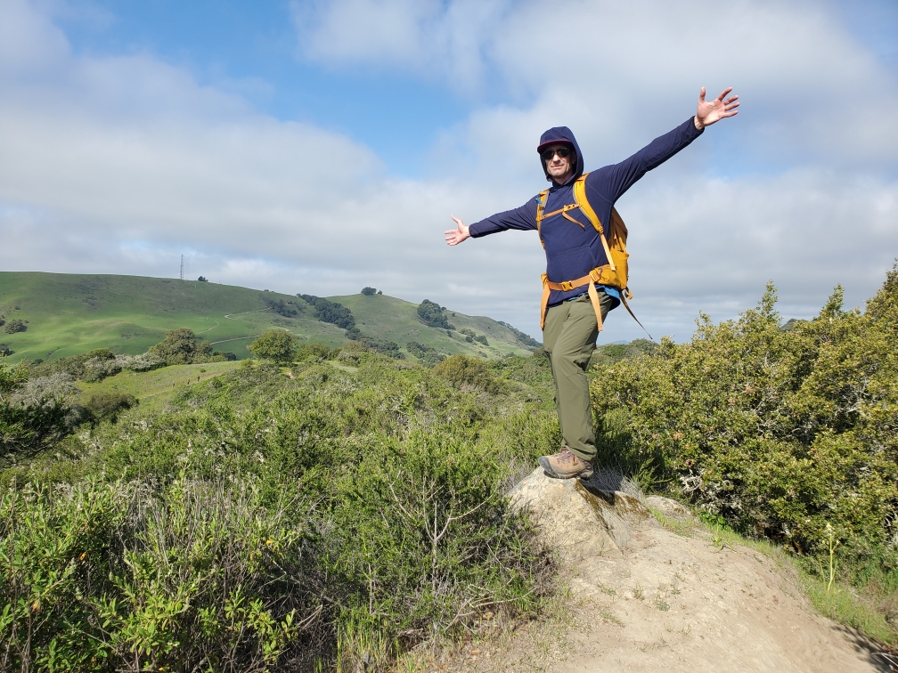
Low clouds moved through most of the day, catching on the ridgeline and softening the light without ever quite turning into real weather — the kind of moody, in-between sky that made the rolling green hills look more like something out of the UK than fifteen minutes from a Bay Area freeway. A good hike with a good friend, and proof that the smaller, less-famous parks in this range can still put up a real fight.
Comments