Mount Olympia & Mount Diablo
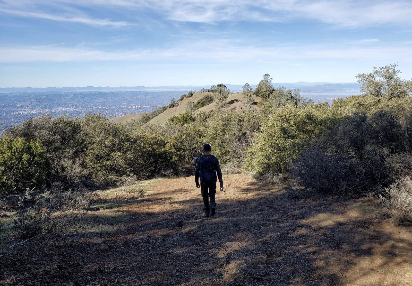
Starting from the Marsh Creek Road trailhead instead of the more popular Mitchell Canyon or Regency Drive sides puts Mount Olympia's famously steep trail right at the start of the day instead of buried in the middle of a longer loop. It's a short climb by mileage but a brutal one by grade, gaining elevation almost the entire way with barely a flat stretch to catch a breath.
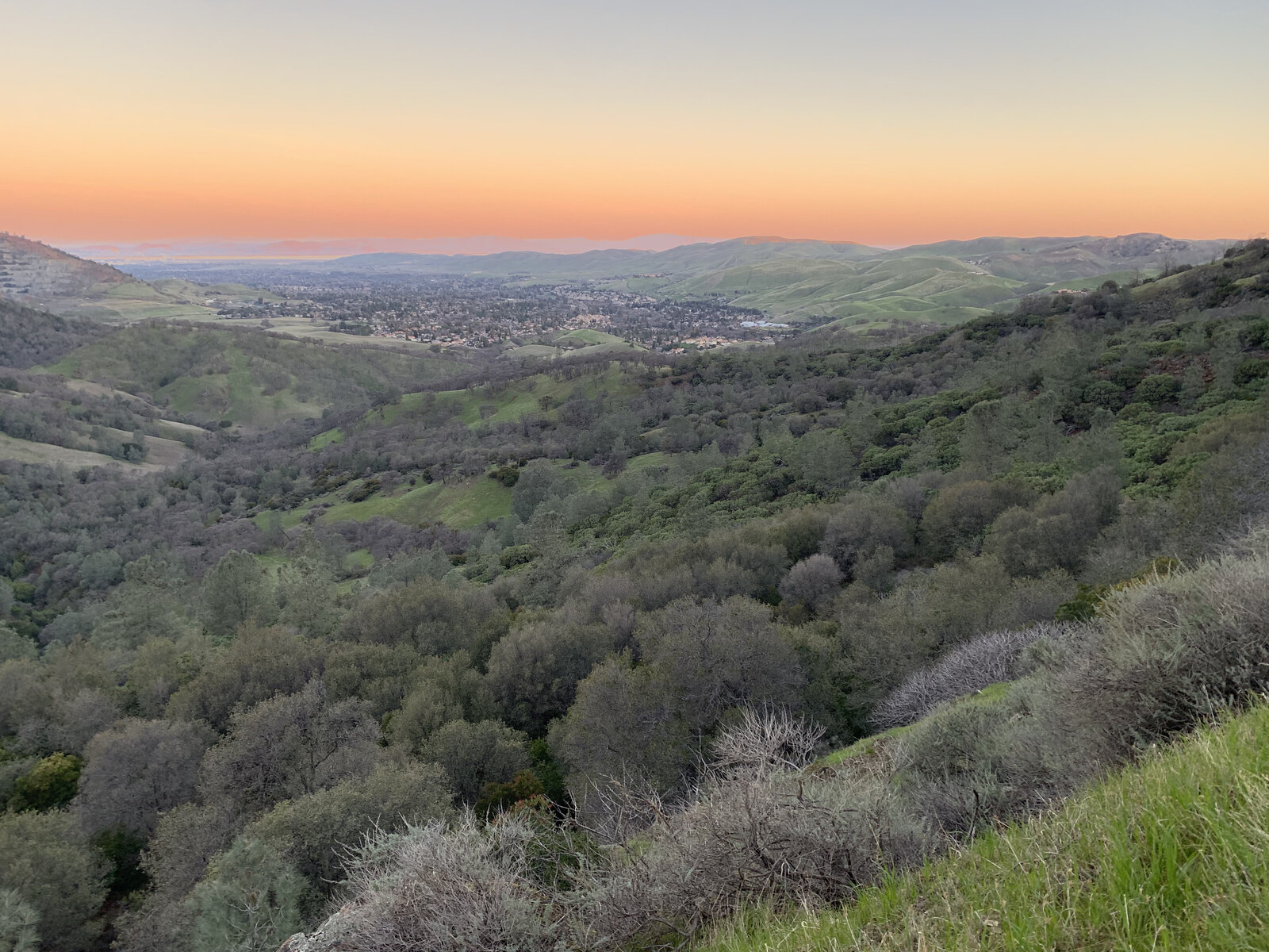
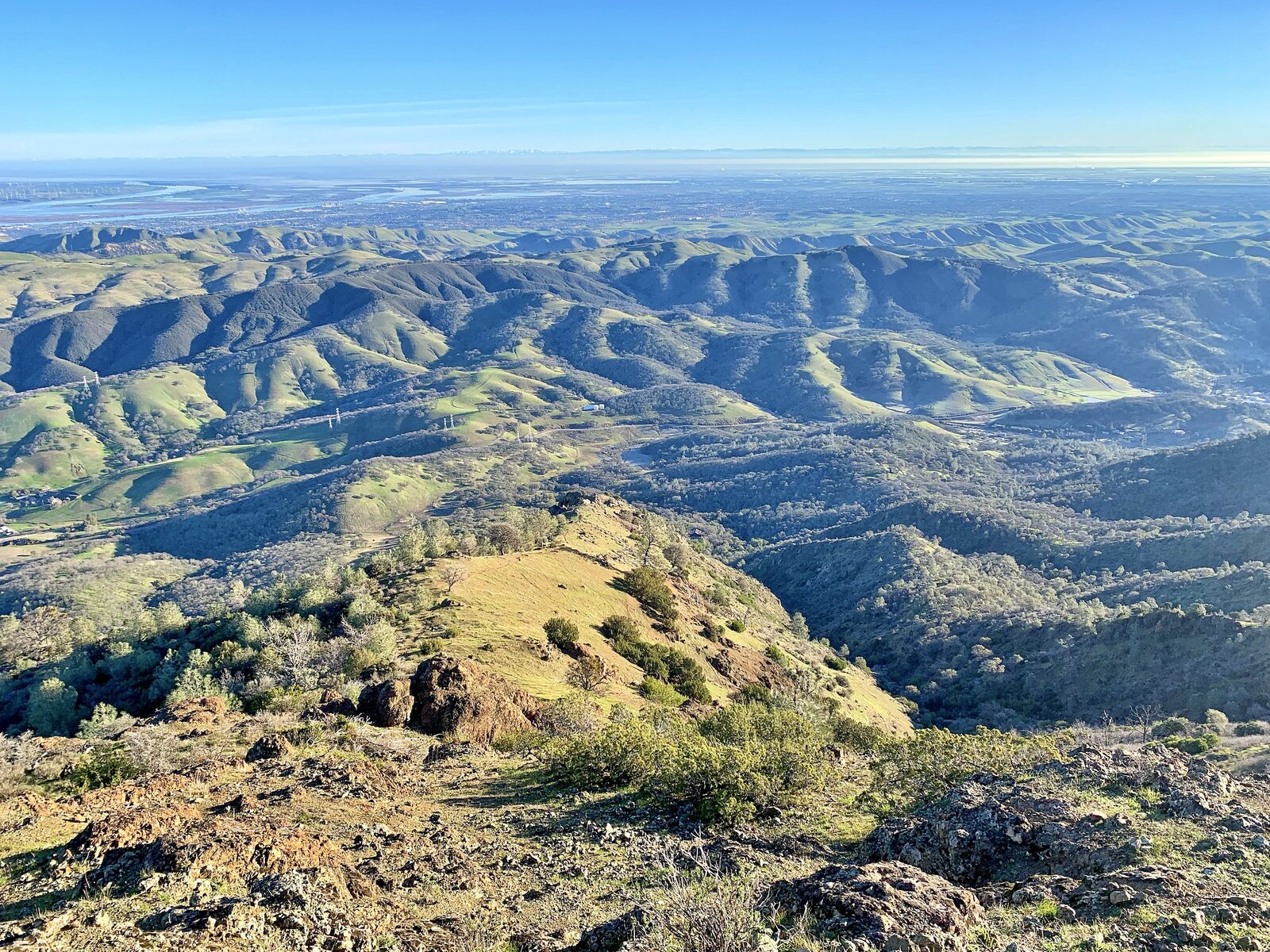
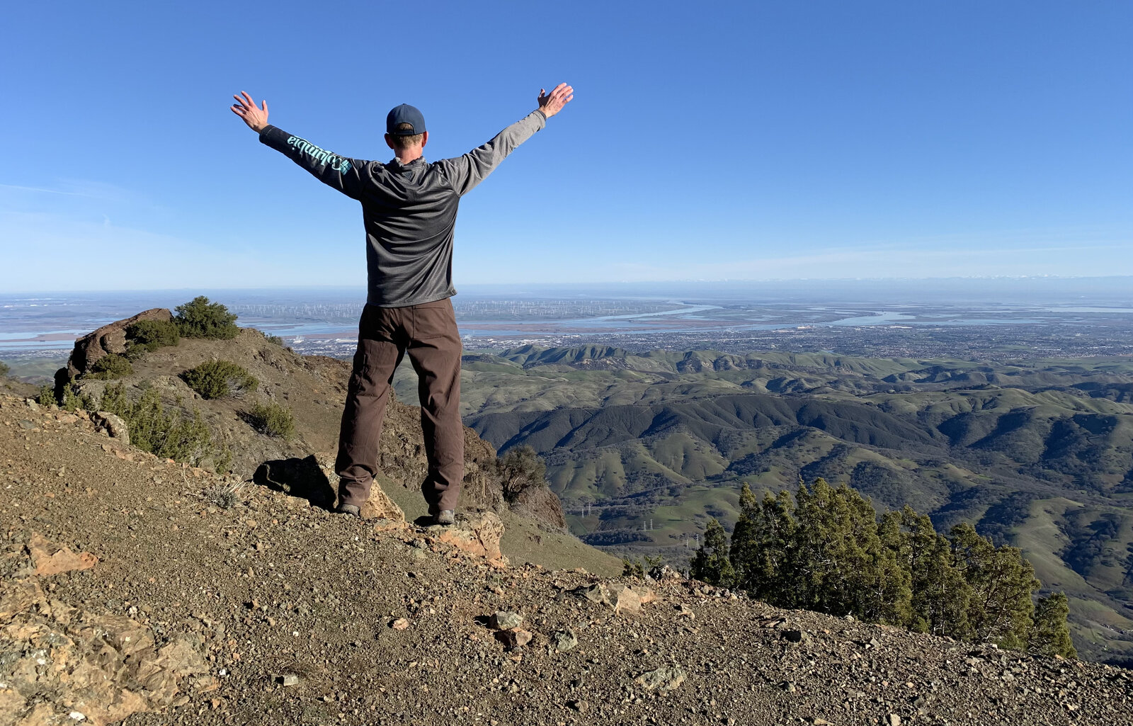
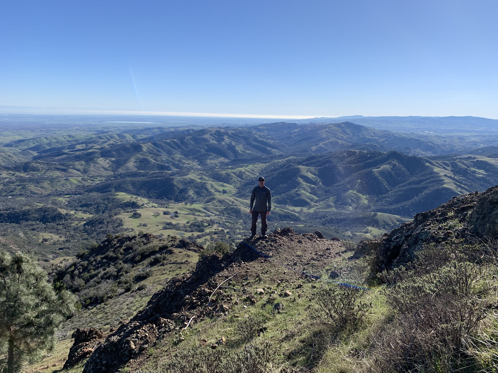
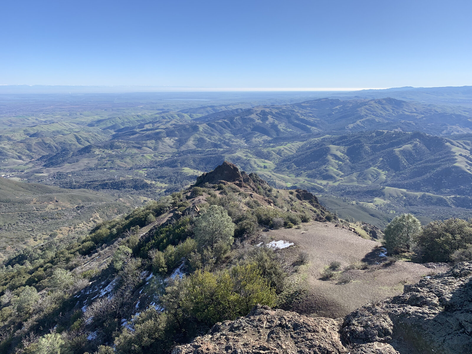
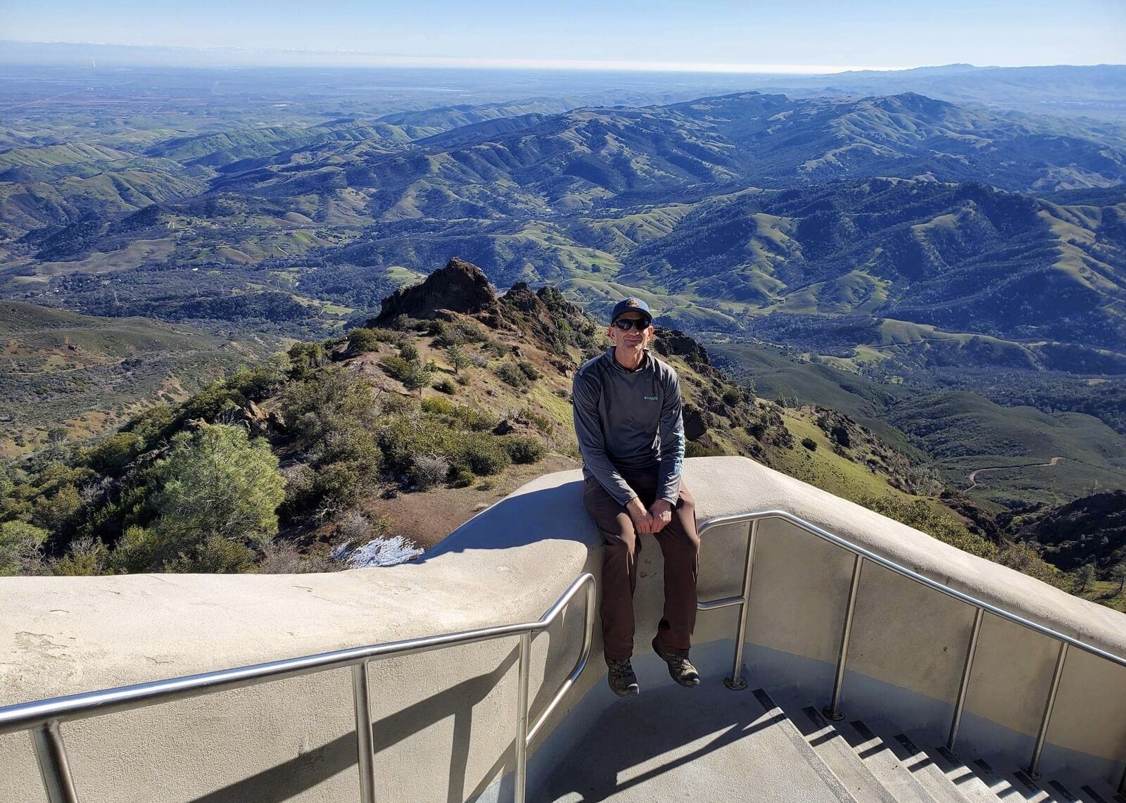
January rains had the hills a deep winter green, a nice contrast to the drier, golden version of this mountain I'd seen on past trips. From the upper slopes the views opened up across the Central Valley and the Delta on one side and the rest of the Diablo Range rolling out on the other, with just enough haze to soften the distance without hiding it.
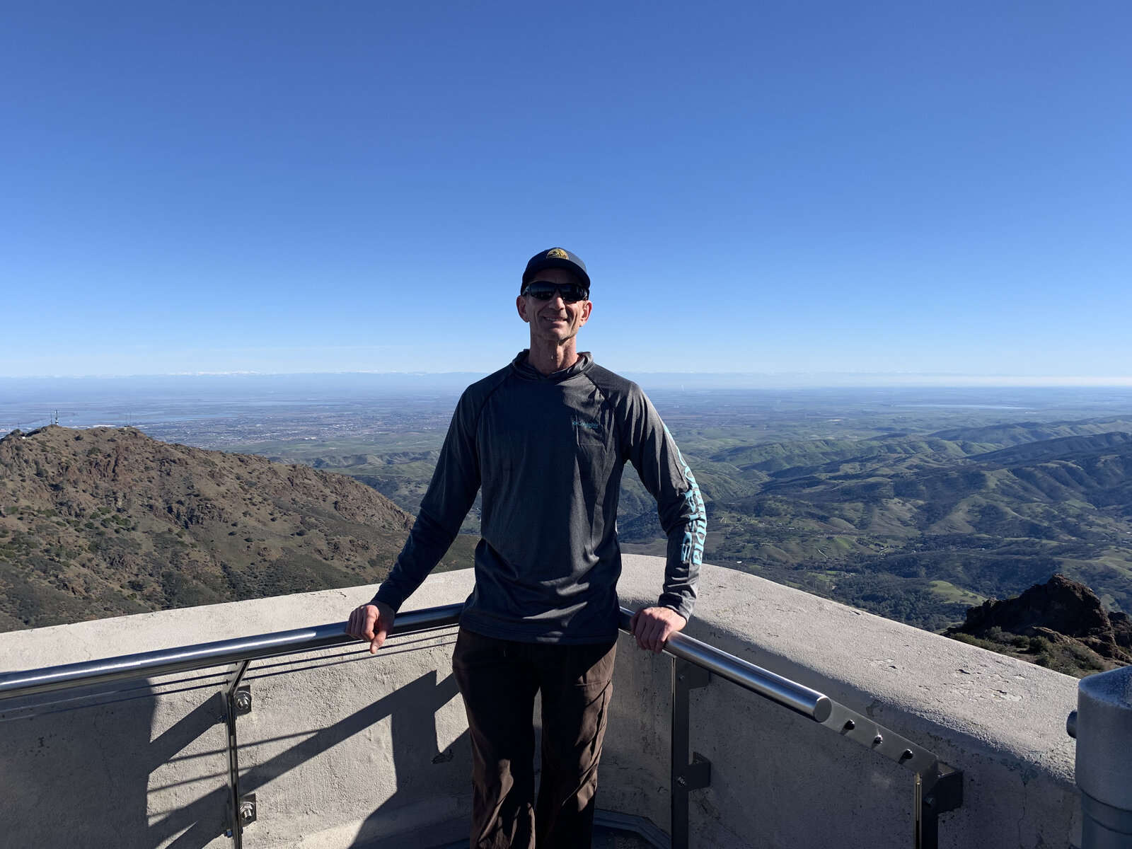
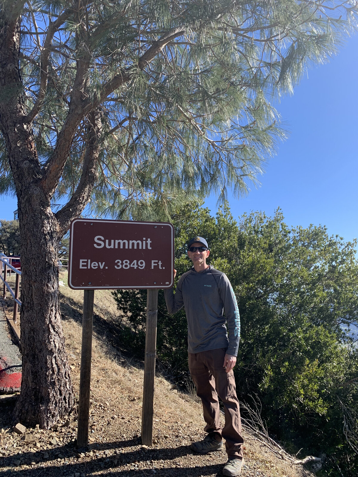
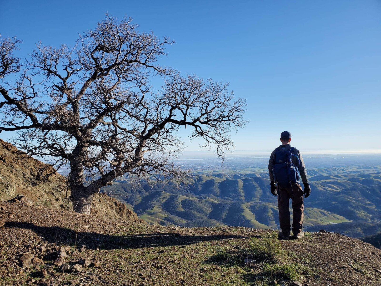
From Olympia the route continues on to Diablo's main summit, ending at the observation deck and the old "Summit Elev. 3849 Ft." sign near the visitor center — a familiar landmark, but one that never gets old no matter how many times I've stood next to it. A bare oak tree on the way back down, framed against the valley below, was a nice quiet moment to close out the day.
About 13 miles and 4,300 feet of gain for two summits, done the quieter way — proof that even a well-known mountain like Diablo still has less-traveled corners worth exploring.
Photos
Comments