Mount Saint Helena
Second Ascent — October 18, 2026 — Most Recent
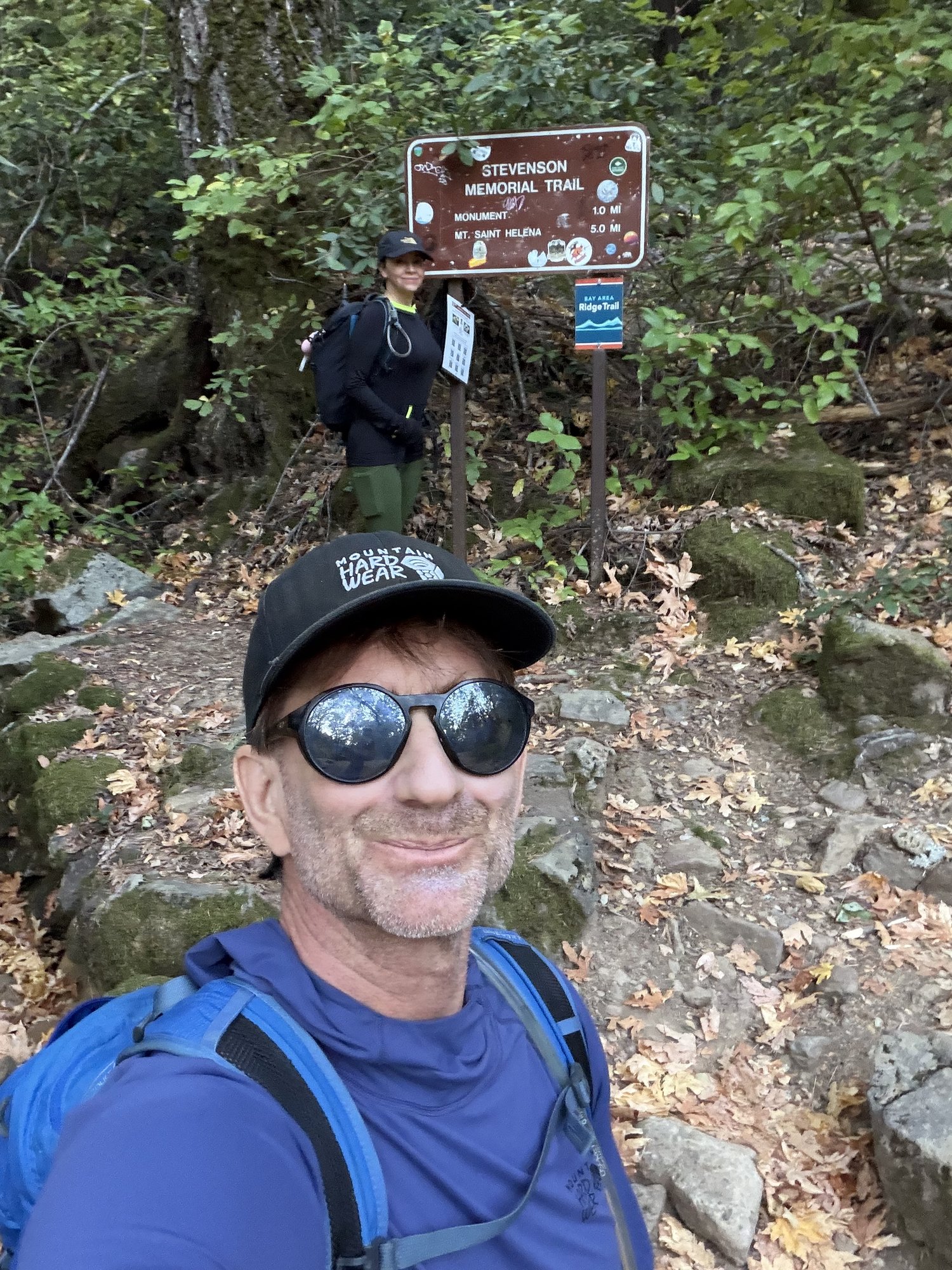
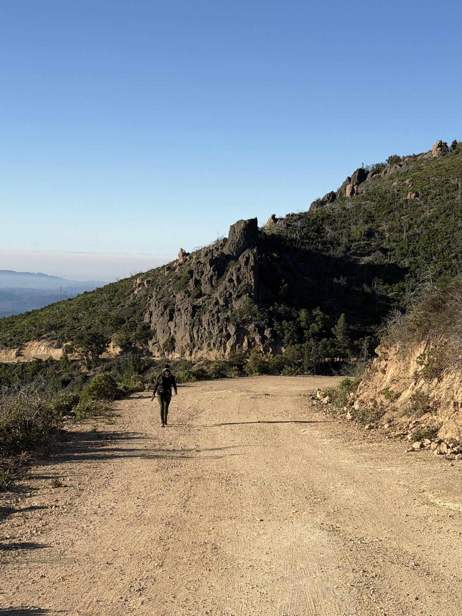
Second time up Mount Saint Helena, this time via the Stevenson Memorial Trail from the main trailhead — past the historic monument marker and up the long exposed ridge toward the summit.
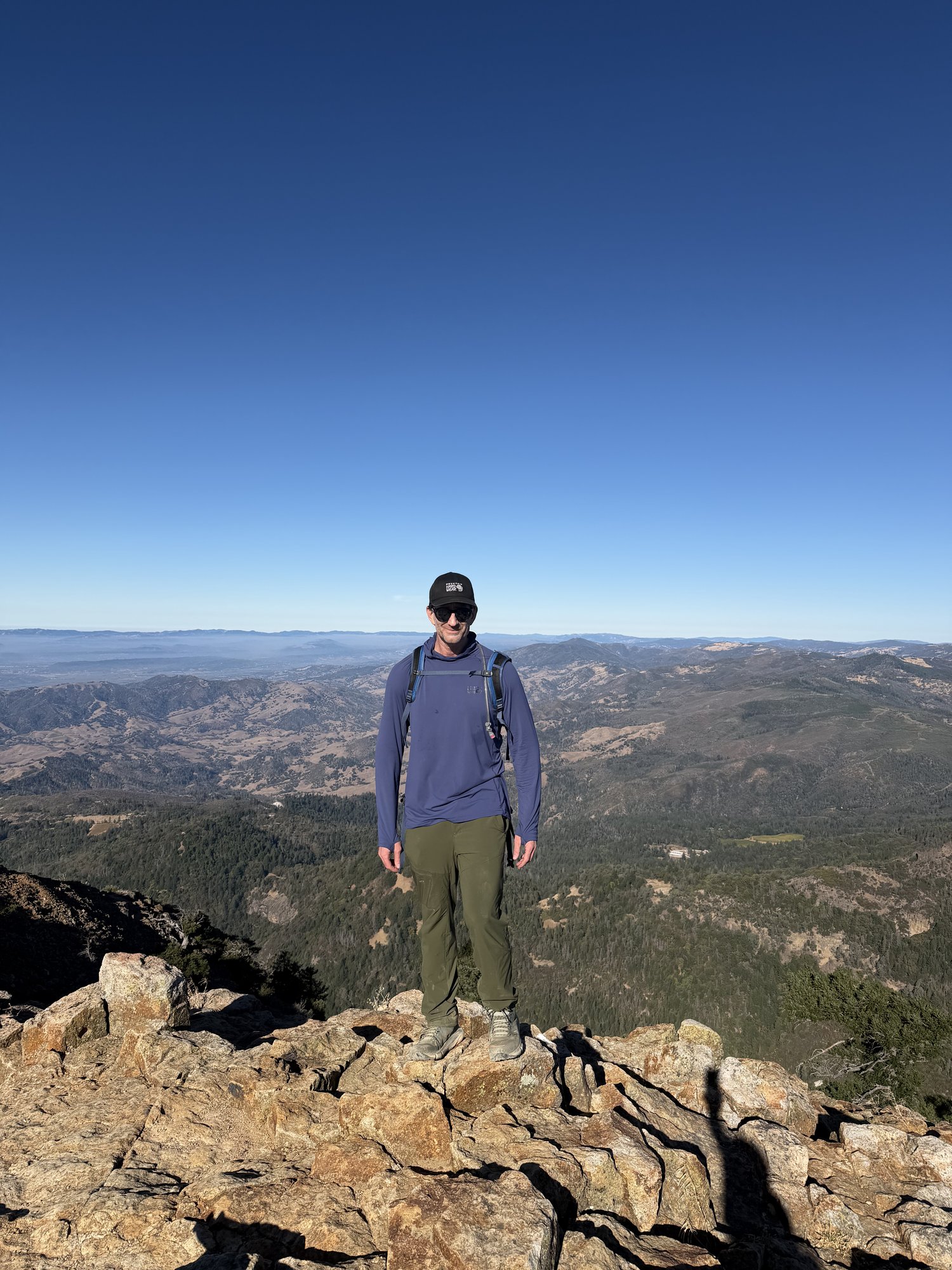
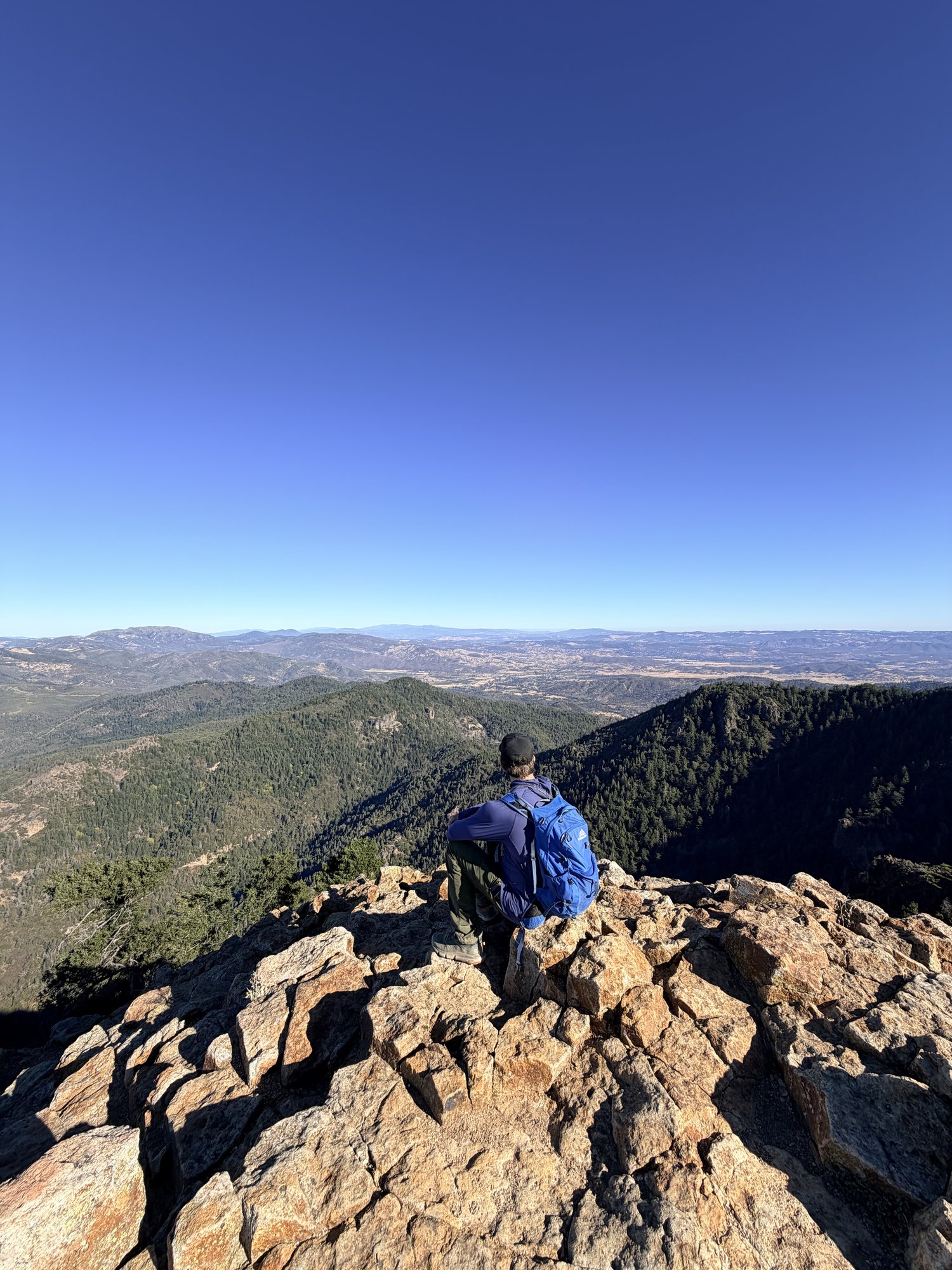
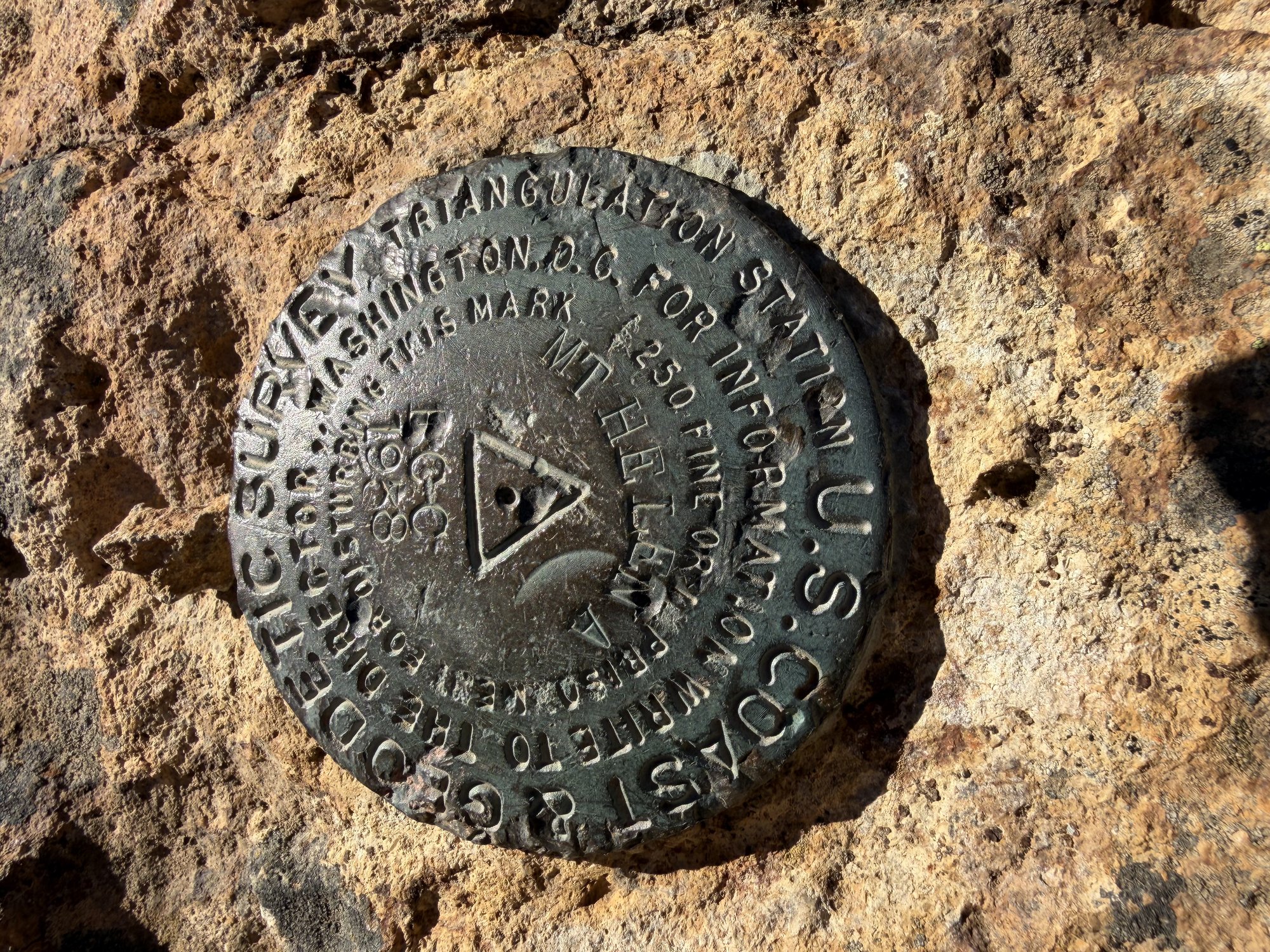
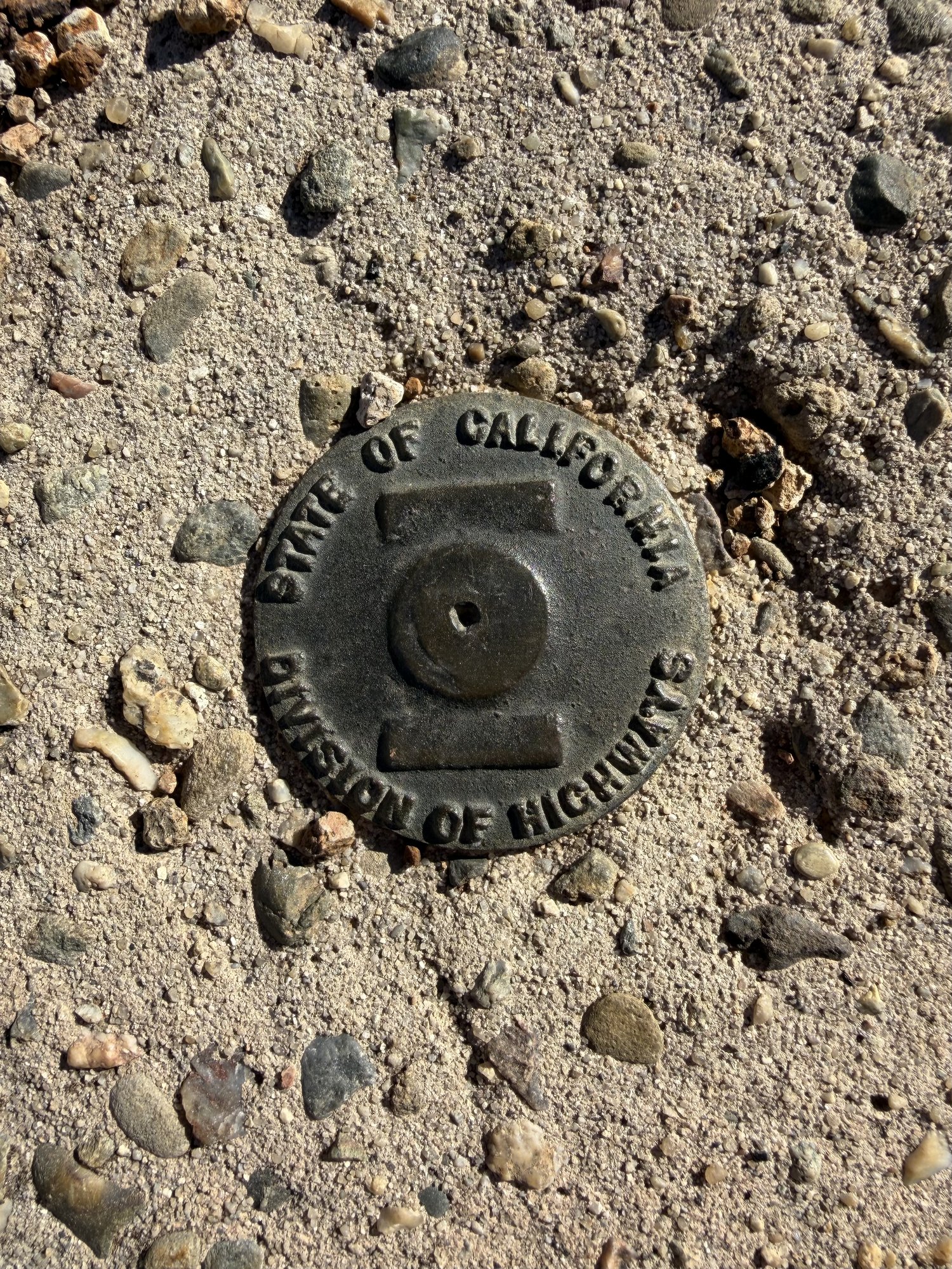
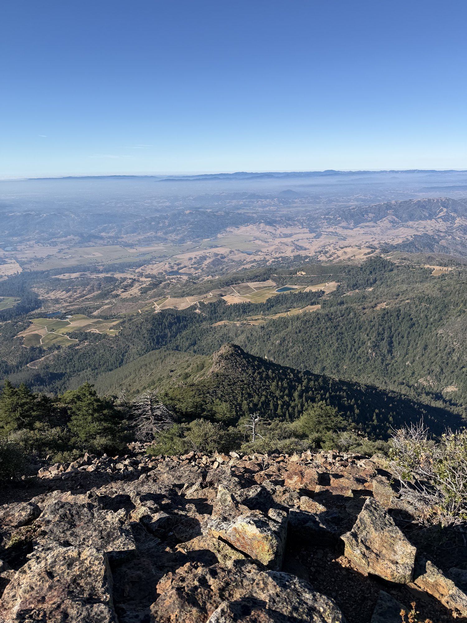
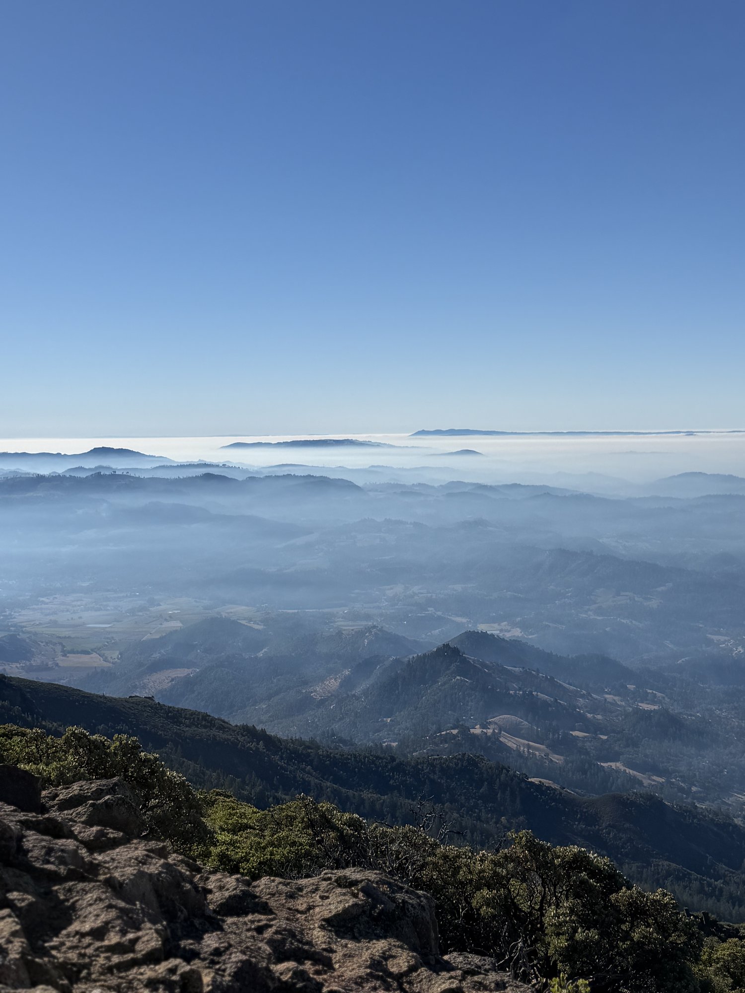
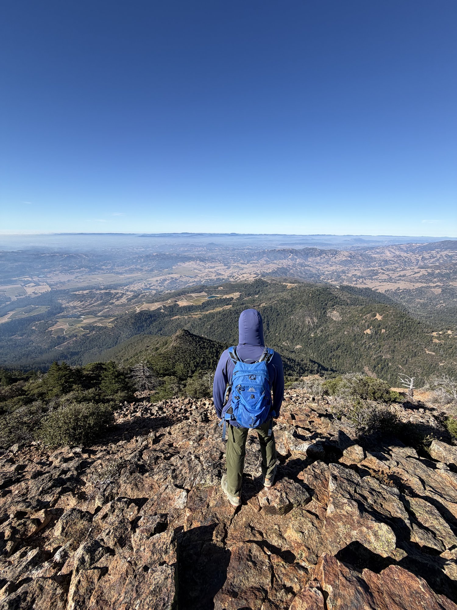
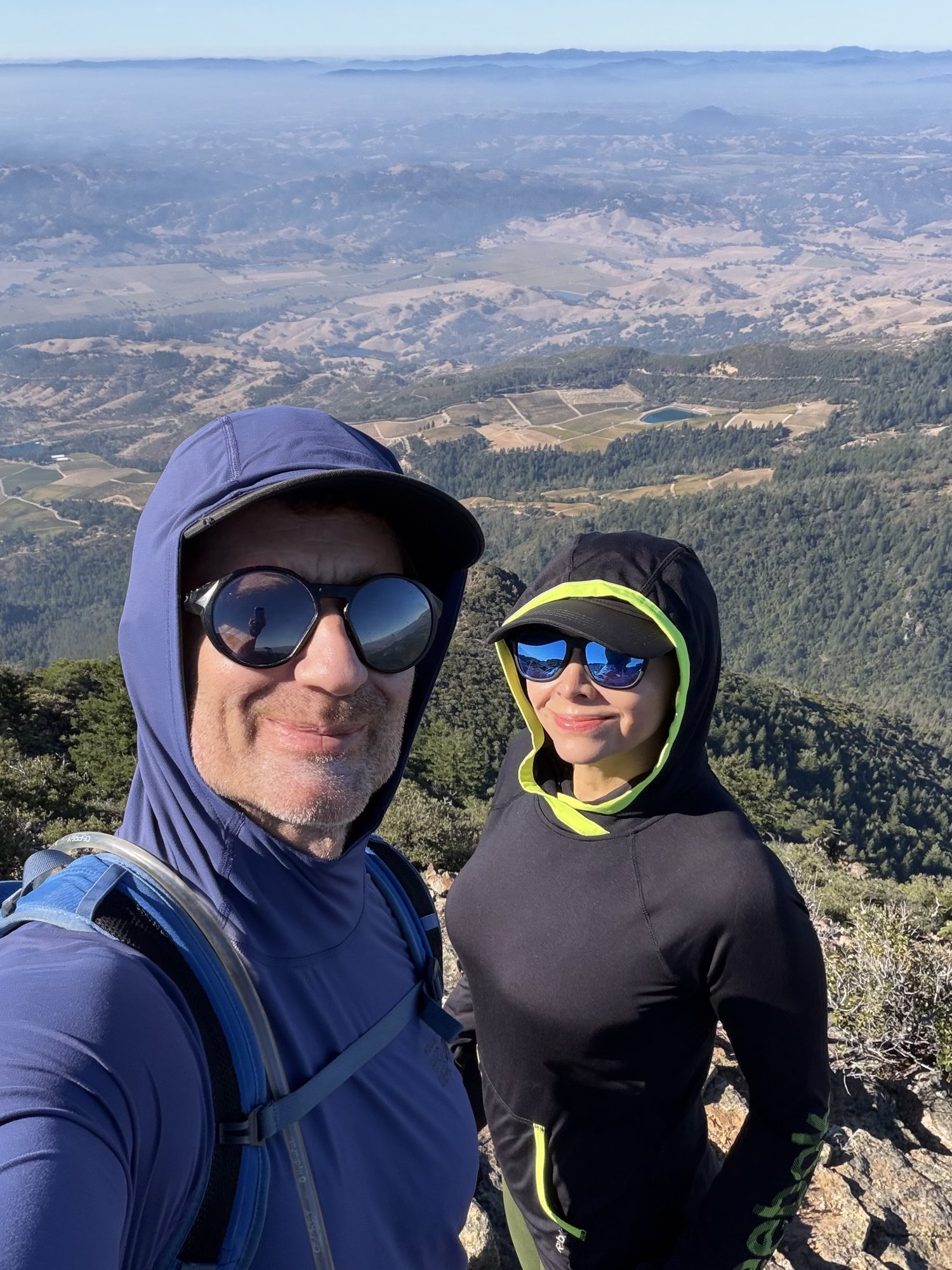
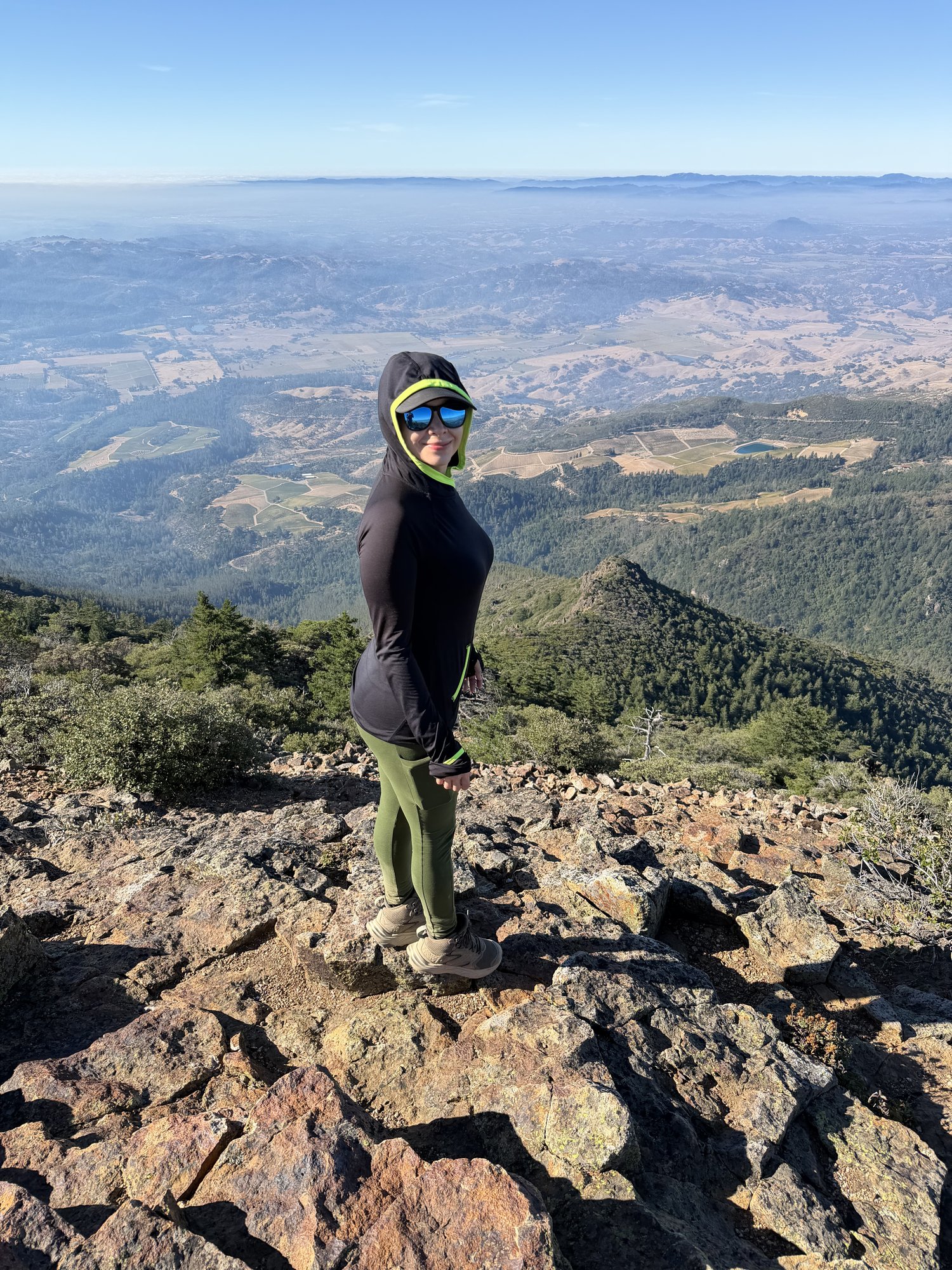
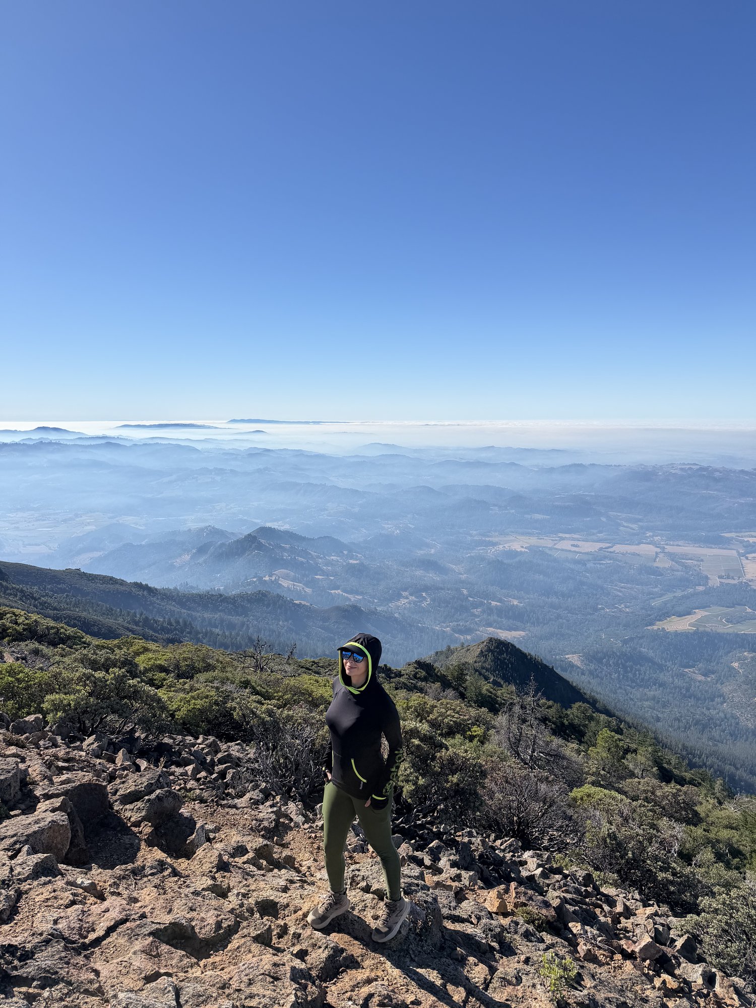
The upper mountain still carries its own old survey history — a Coast & Geodetic triangulation station marking the true summit, and a separate State of California Division of Highways marker found along the way. From the top, the views stretched out over Napa Valley's checkerboard of vineyards on one side, with a thick layer of fog pooling over the lower hills on the other.
Napa County's highest point never disappoints — a long, honest climb, with one of the best valley views anywhere in the Bay Area waiting at the top.
First Ascent — December 5, 2020
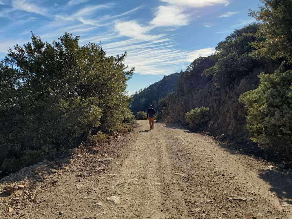
Mount Saint Helena sits right at the top of Wine Country, and it's easy to assume a hike here is basically a warm-up for an afternoon of tasting rooms. It is not. The route starts near the old Robert Louis Stevenson honeymoon cabin site — he and his wife spent a summer up here in 1880, which is a nicer story than mine, since my version involved a fire road, a full water bottle, and about 2,100 feet of unbroken climbing. The first mile winds through oak and Douglas fir switchbacks, and then the trail turns into a fire road for the rest of the way up, mile after mile of steady, exposed grade with almost no shade to hide in.
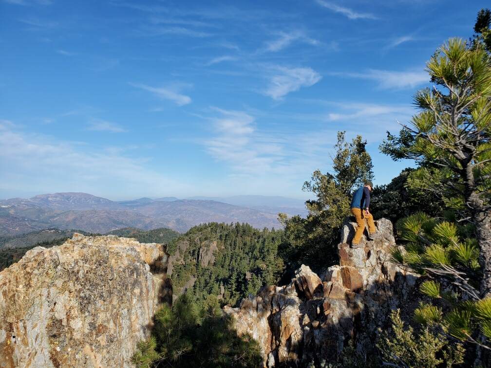
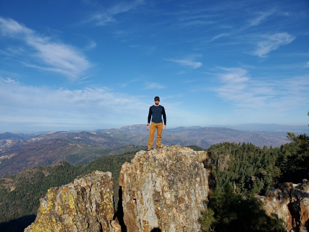
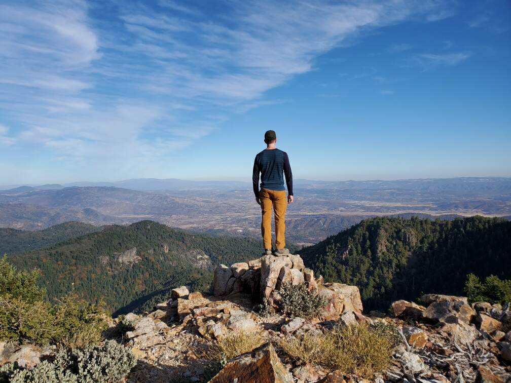
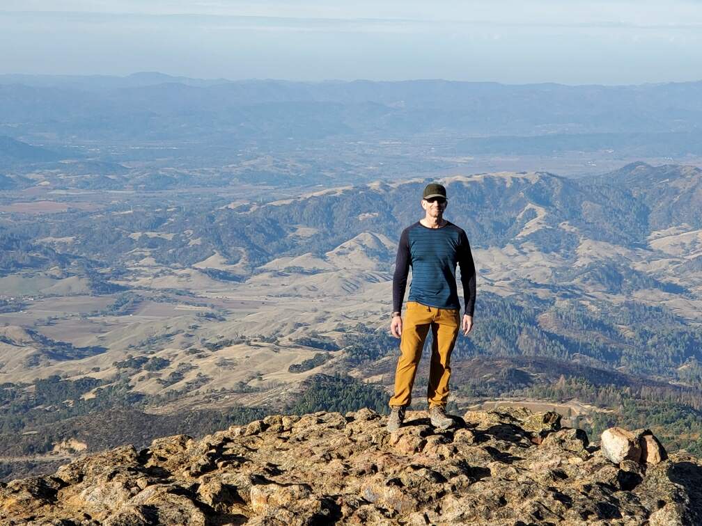
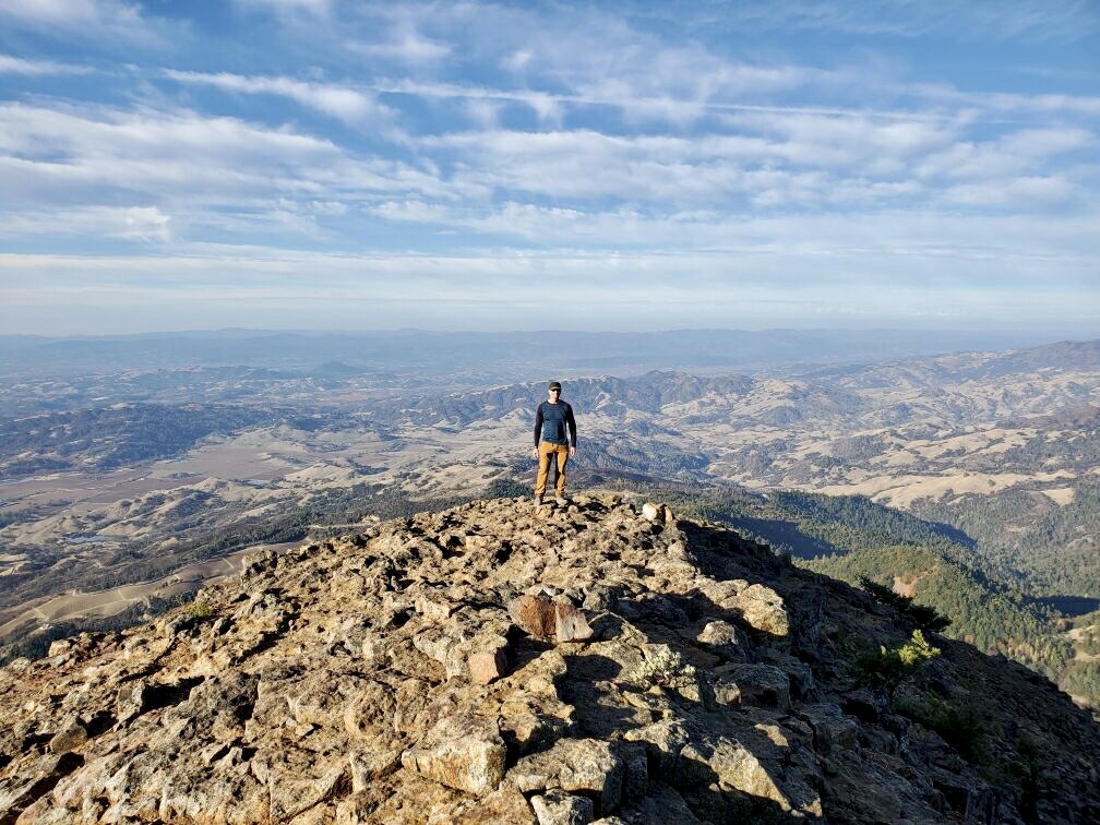
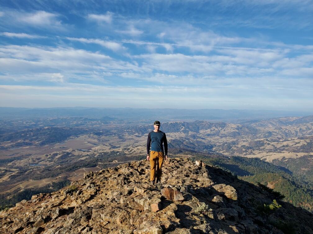
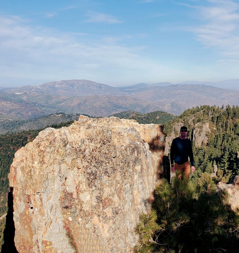
What the fire road lacks in drama, the rock outcrops along the ridge more than make up for. A handful of jagged volcanic knobs jut out along the way, each one demanding a stop to walk out to the edge and look down at Napa Valley unrolling in every direction — vineyards shrinking into a green-and-gold patchwork, the valley floor hazy in the afternoon light, ridgelines stacking up toward Sonoma and beyond. It's the kind of view that makes you forget you're technically standing on a pile of 3-million-year-old volcanic breccia and not an actual volcano, despite how much the whole mountain looks like one.
By the time I got back to the car, I'd earned a glass of something local more than on any other hike on this list — and, true to form, I didn't have one. Somehow the one mountain in the middle of California's most famous wine region is the one where I showed up in hiking boots, left in hiking boots, and never once saw the inside of a tasting room. Worth it for the view alone; the wine will still be there next time.
Comments