Briones Peak
Second Ascent — July 6, 2025 — Most Recent
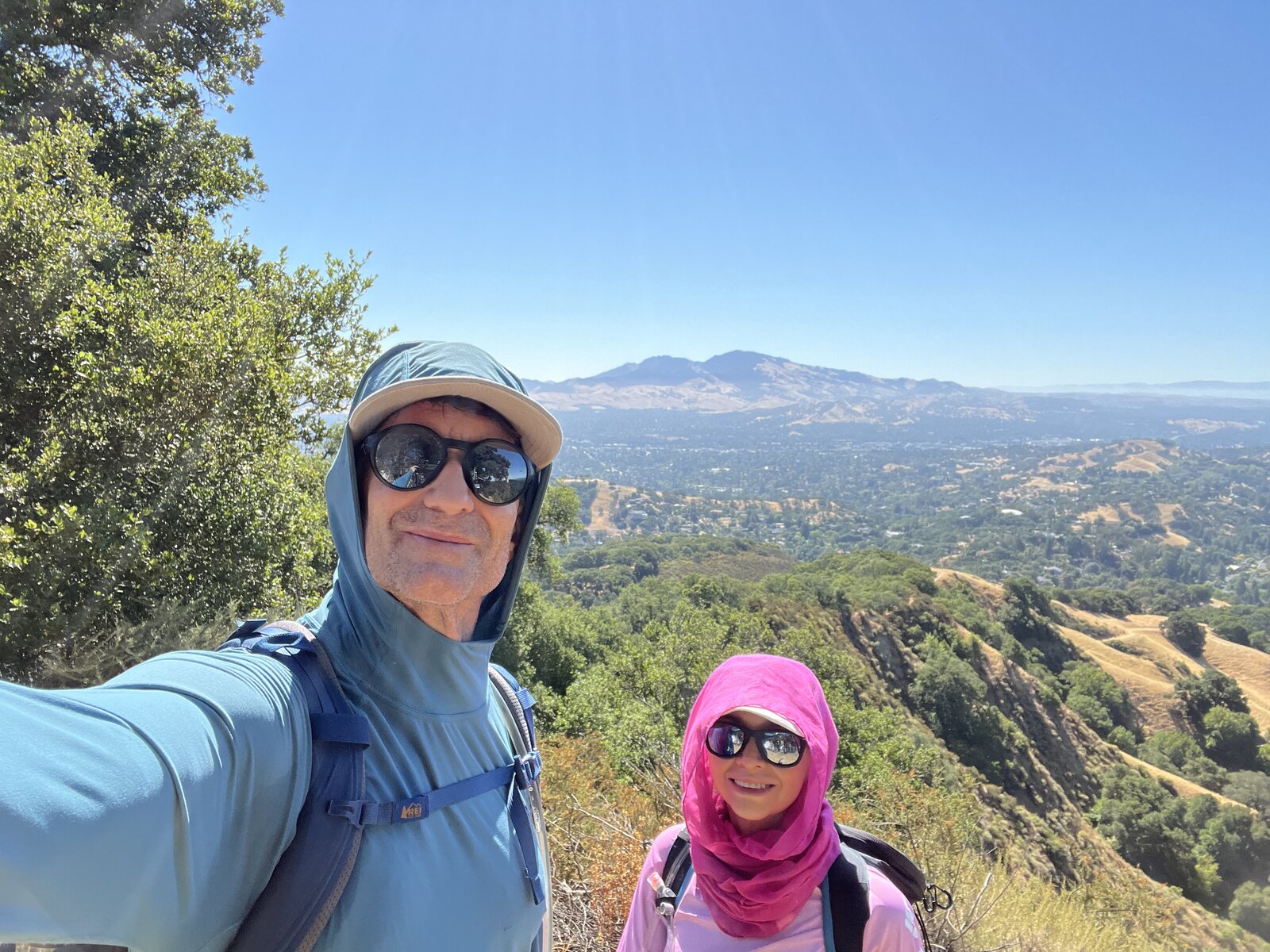
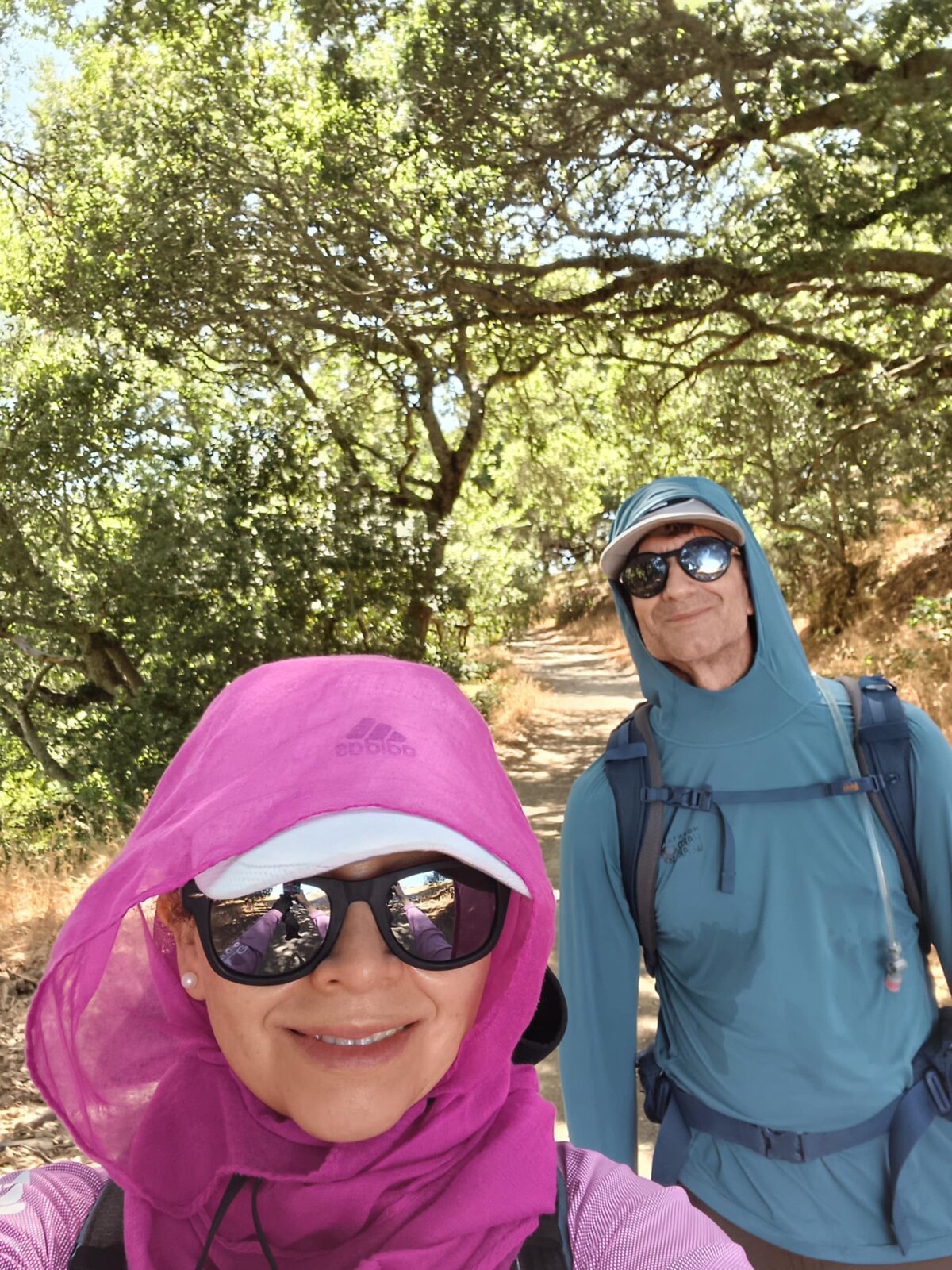
Back to Briones again, this time from the Lafayette side instead of the original Blue Oak approach — a longer loop stitching together Springhill, Lafayette Ridge, Briones Crest, and Sunrise for 8.9 miles and about 1,900 feet of gain, roughly three times the distance of the first visit. Same golden summer hills as always, just a completely different way of seeing them.
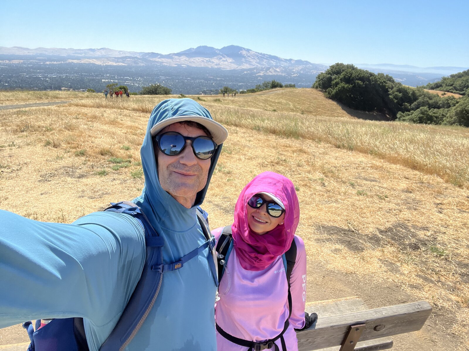
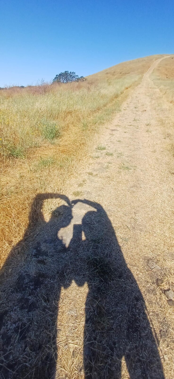
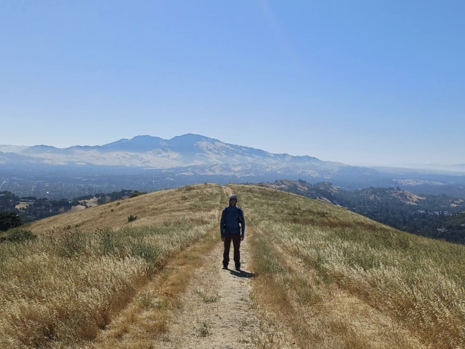
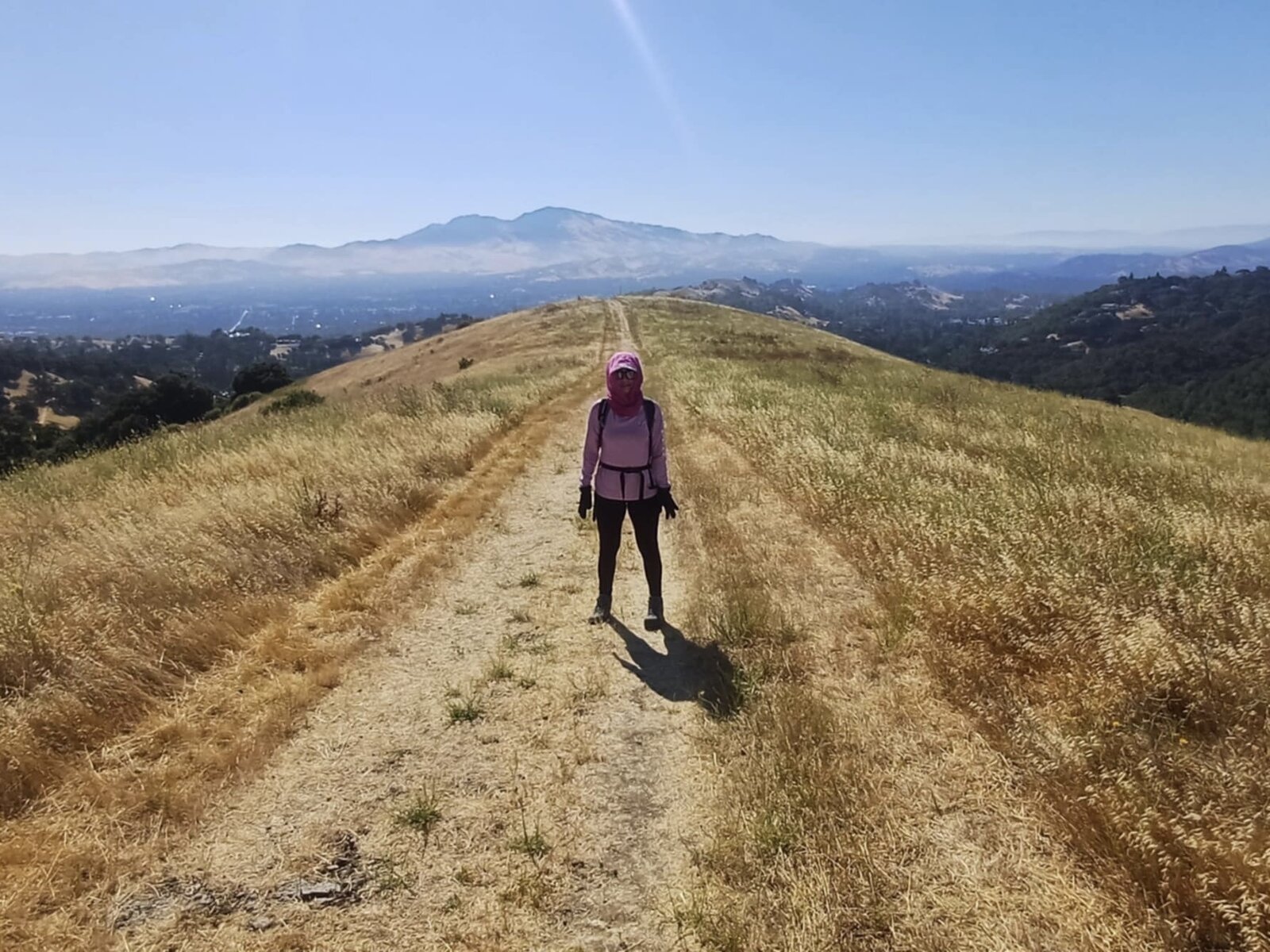
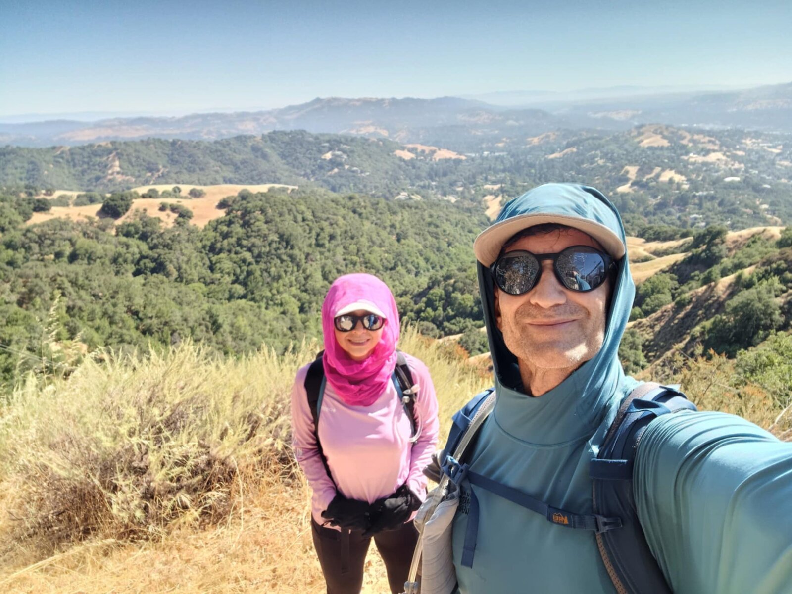
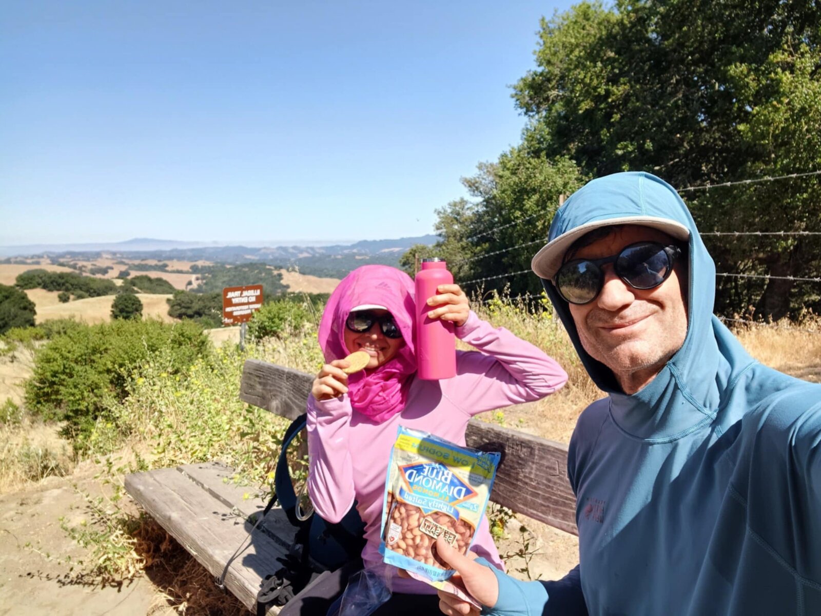
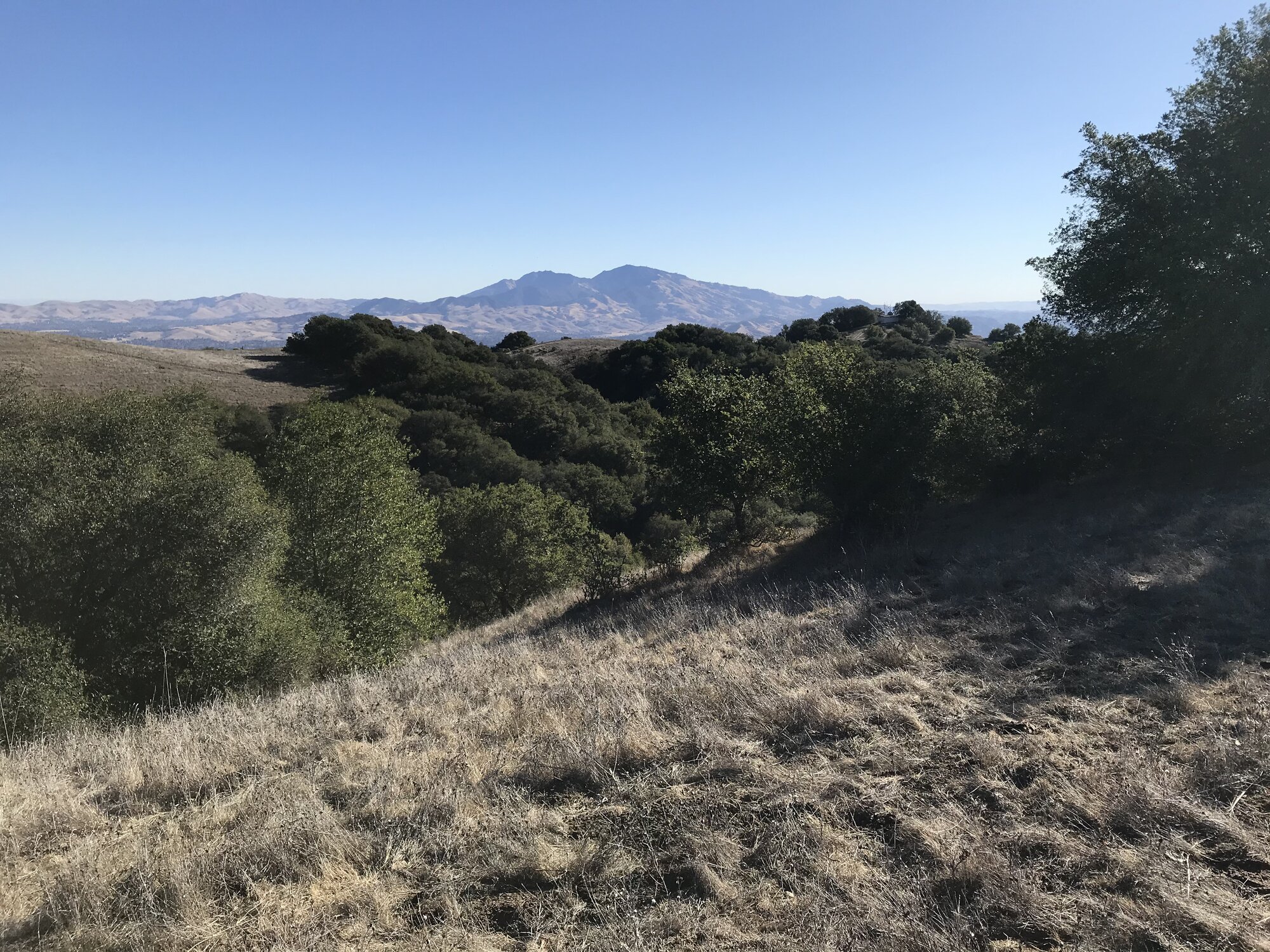
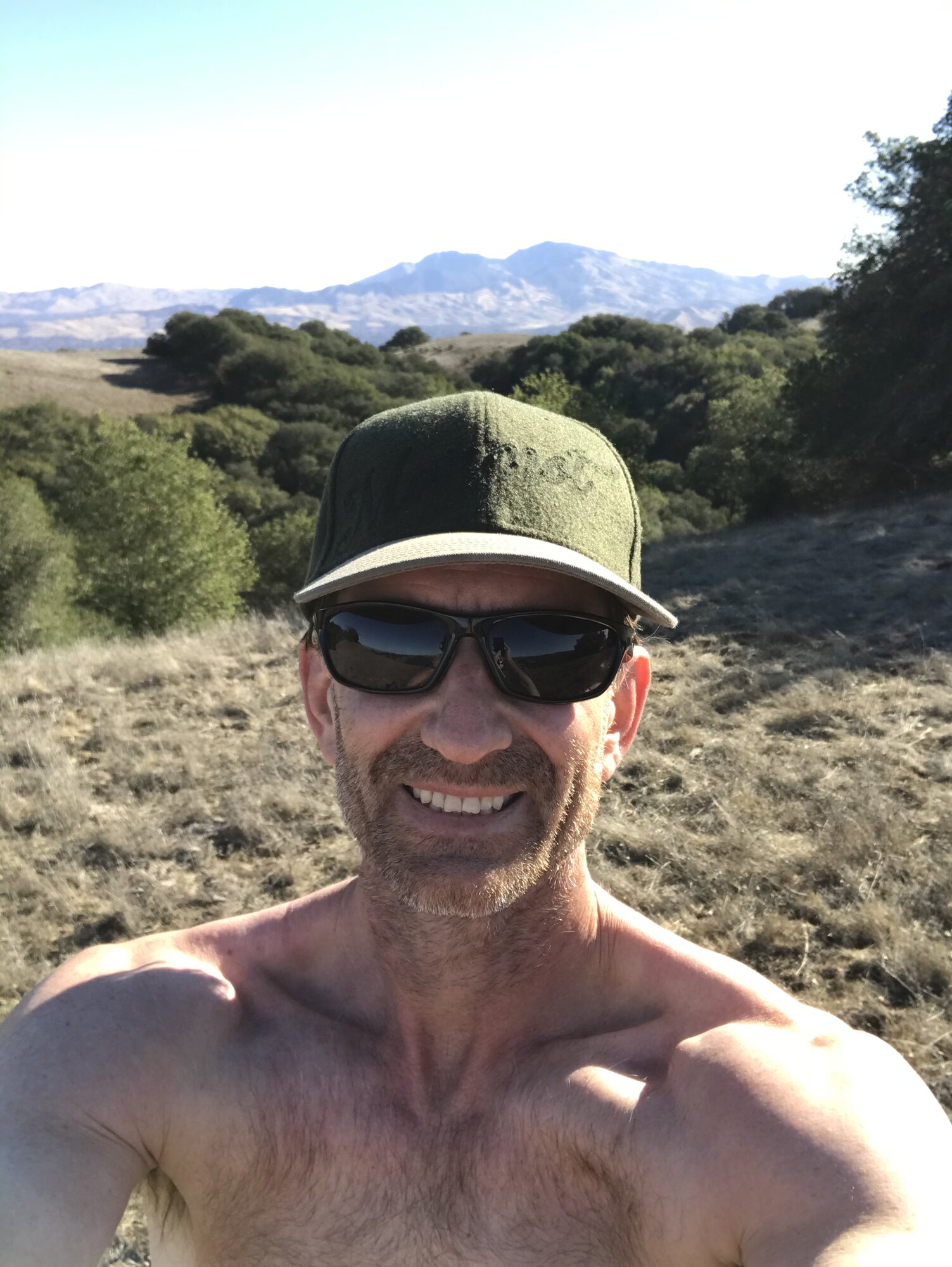
The ridge stretches delivered the views this route is built around, Mount Diablo standing clear and blue across the valley for almost the entire crest section, the dry grass hills rolling out in every direction under a wide-open summer sky. A shadow-selfie moment on the trail and a snack break on a bench along Briones Crest made for good excuses to slow down and take it all in.
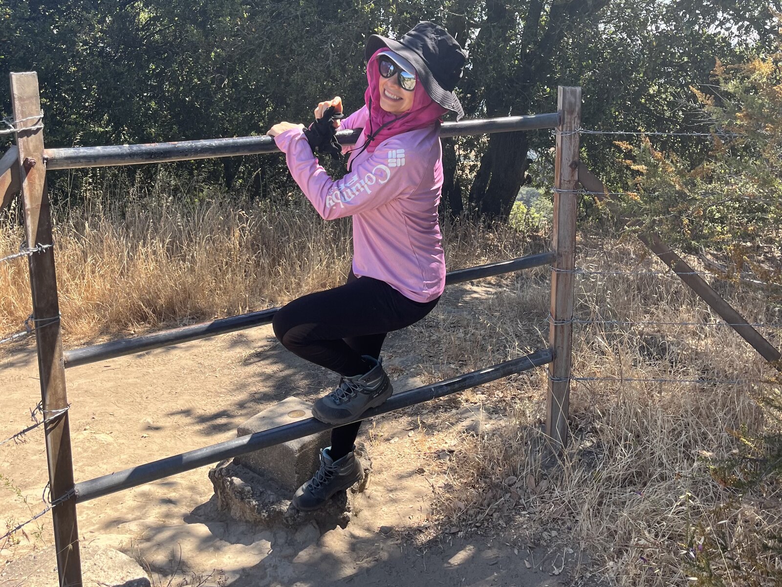
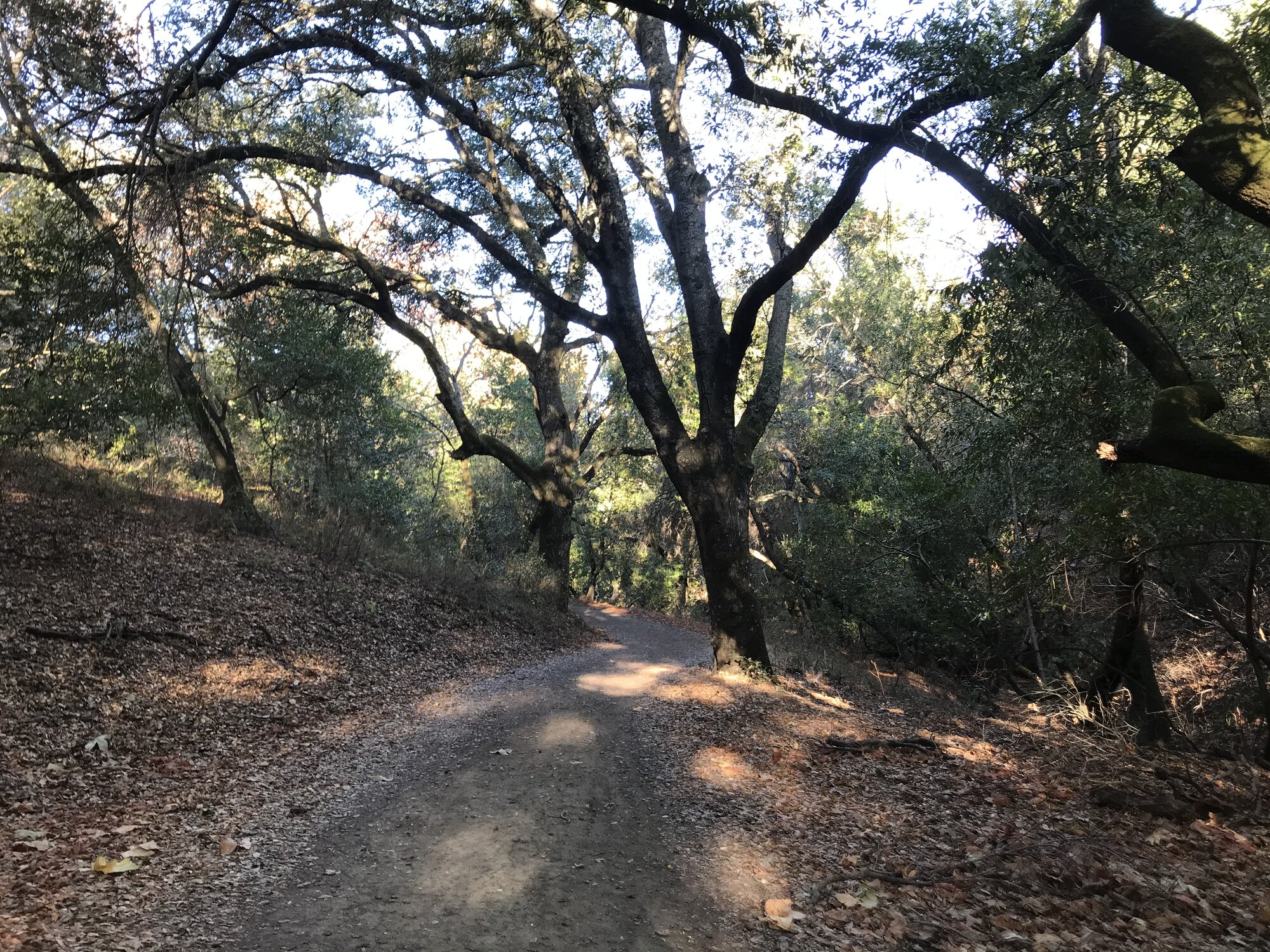
The route dipped into shaded oak canyon on the way back, a welcome break from the sun-exposed ridge above, before finishing out the loop in just under four hours. Our legs were feeling every one of those 1,900 feet by the end, but a longer, quieter way to revisit a peak that already proved itself worth a second look.
First Ascent — November 26, 2020
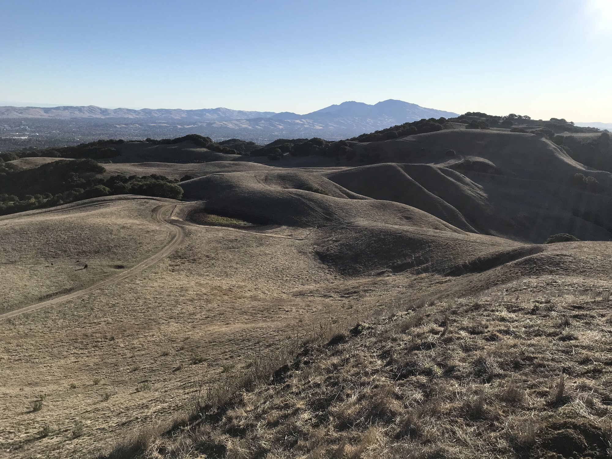
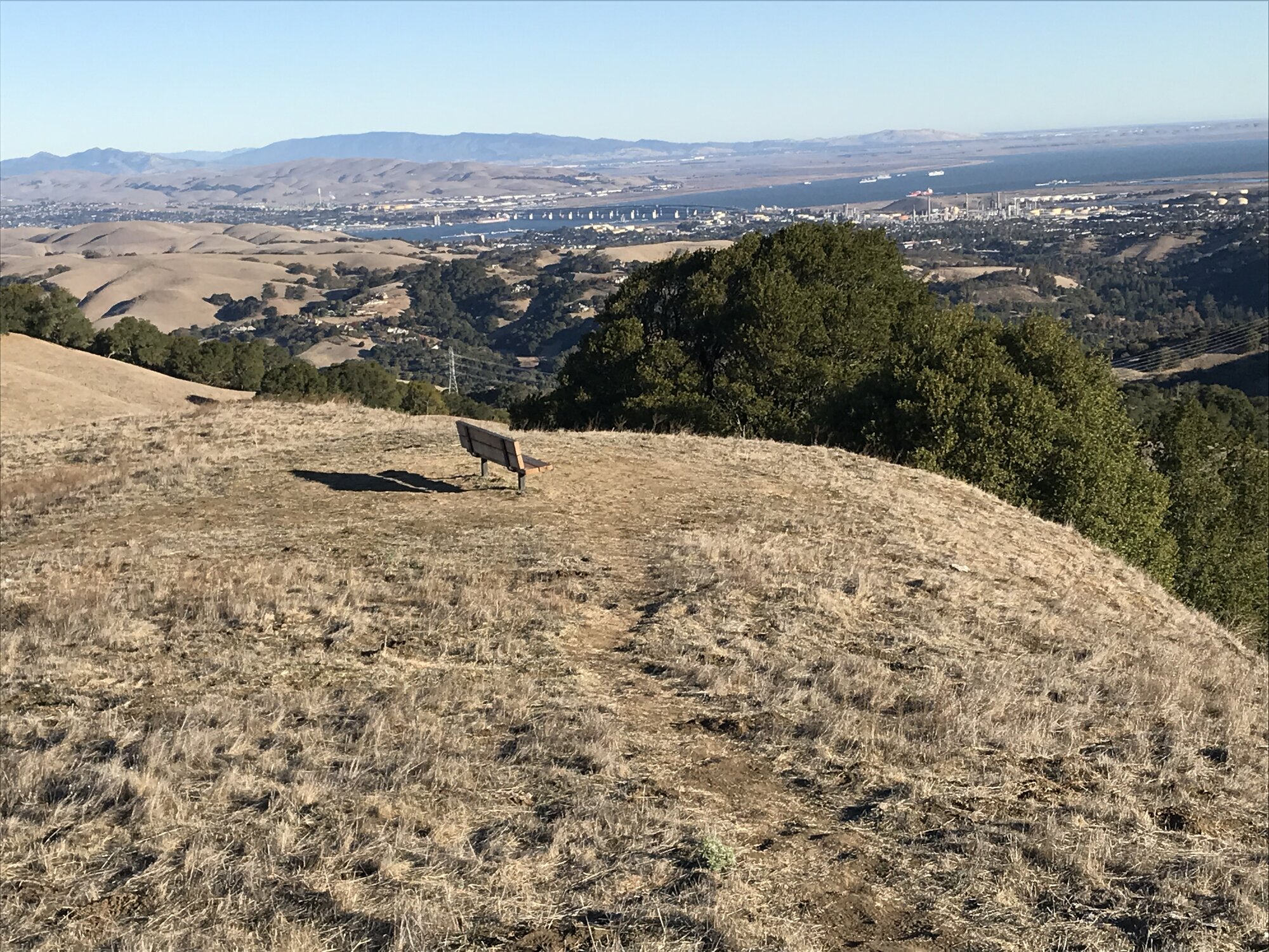
Briones doesn't look like much on paper next to the Sierra peaks — 1,483 feet is barely a warm-up climb by comparison — but it's a genuinely good hike, and an easy one to underestimate. I started up the Blue Oak Trail on a Thanksgiving-afternoon walk, and the hills were exactly what East Bay hills look like in late November: dry, tawny, and rolling in every direction like something out of a Wallace Stegner novel, with dark clusters of live oak filling the low folds between ridgelines. A short spur trail leads to a plain wooden bench marking the true summit, and even at under 1,500 feet, the view earns its spot — Mount Diablo rising blue and hazy to the east, the Carquinez Strait and the edge of the Bay glinting off to the northwest.
The return route dropped through a shaded canyon on the Spengler Trail, oaks arching completely over the trail in a way that felt like a different park entirely from the sunbaked ridge above — the kind of contrast that makes Briones more interesting than its modest elevation suggests. I lingered long enough that the light turned by the time I climbed back out of the canyon, catching Diablo again in that flat, golden pre-sunset color that only shows up for about ten minutes this time of year.
Comments