Mount Tamalpais
At a Glance
- Route
- Sea-to-summit via Steep Ravine to East Peak
- Trailhead
- Stinson Beach
- Permit
- None required
- Typical Season
- Year-round
Third Ascent — December 28, 2025 — Most Recent
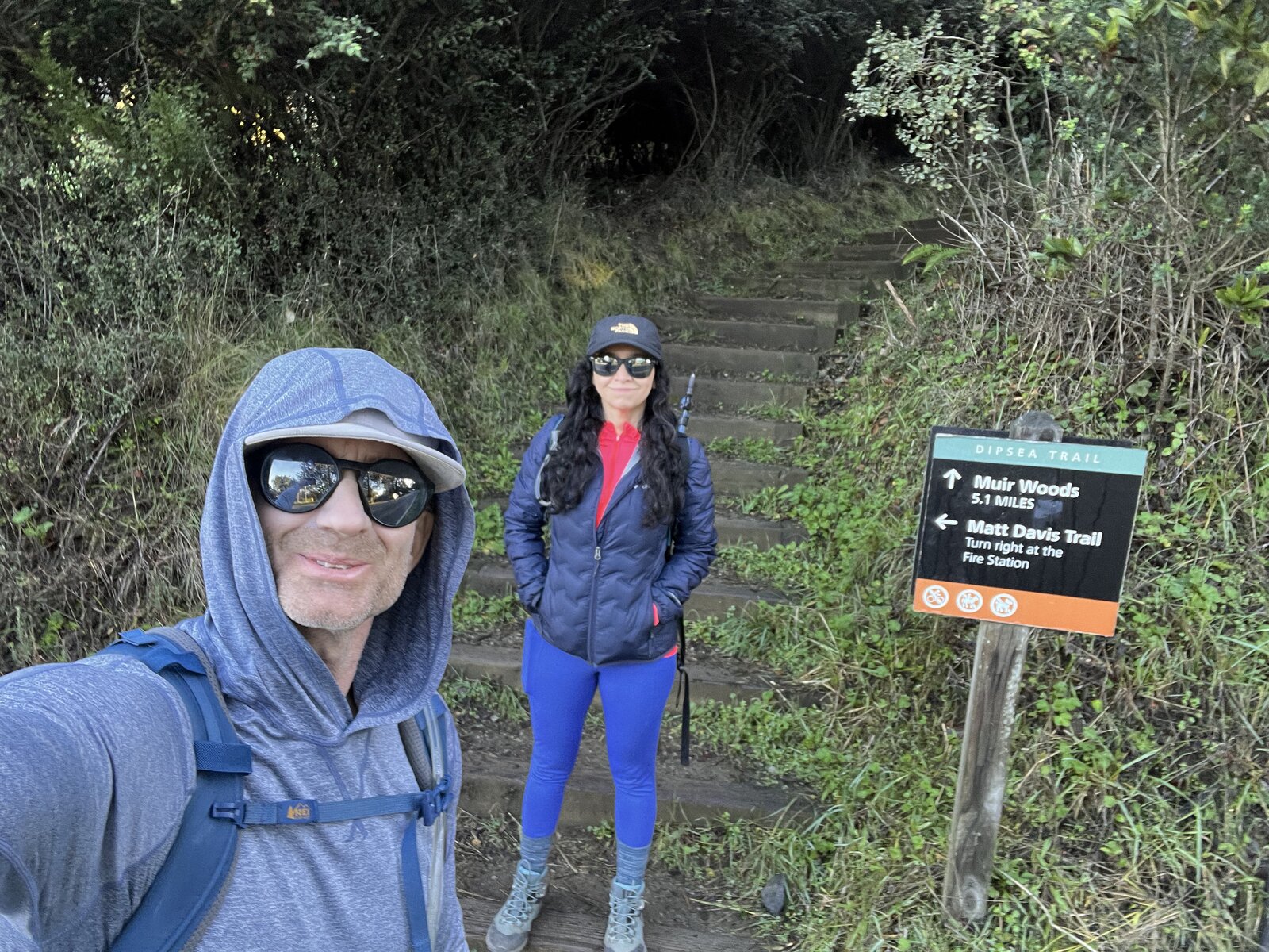
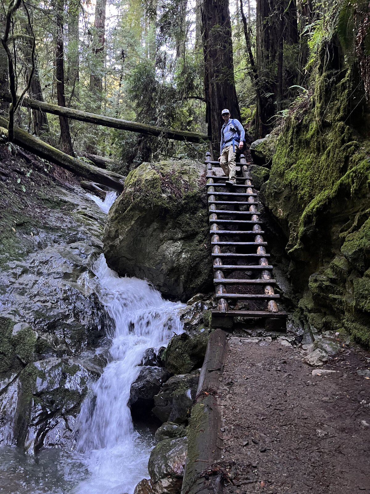
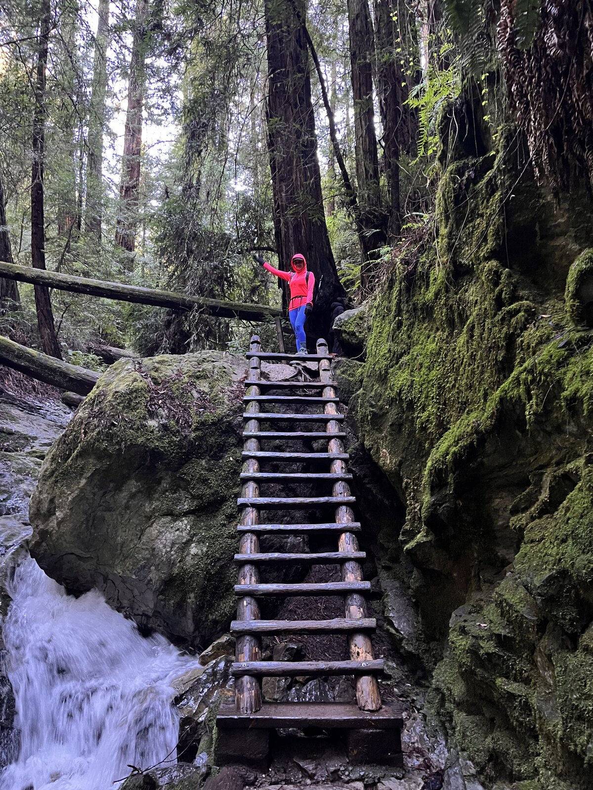
Back to the sea-to-summit route more than six years after the first trip, starting again at Stinson Beach and climbing the full way up to East Peak — 17.5 miles round trip this time, legs tired and soul full by the end. The route out of Stinson wound up through Steep Ravine, the old wooden ladder next to its little waterfall just as fun a surprise the second time through, moss-covered rock and redwoods towering overhead blocking out most of the sky.
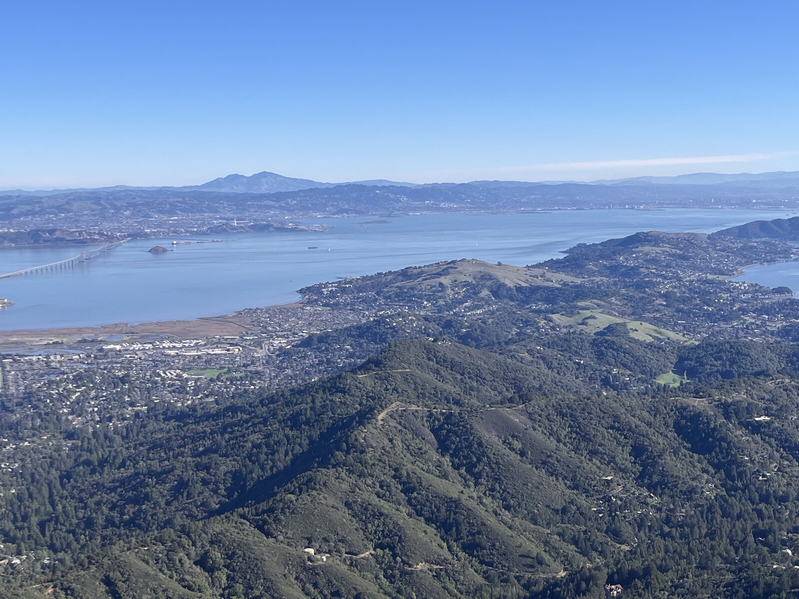
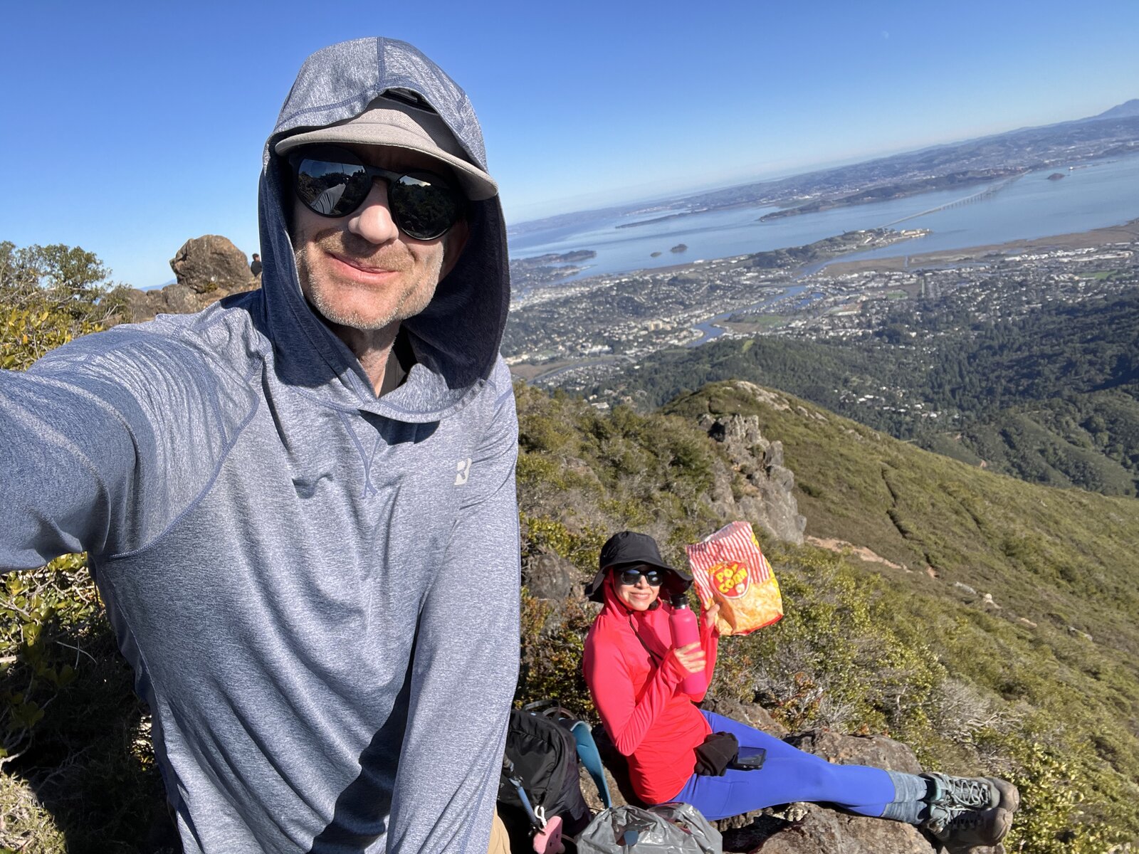
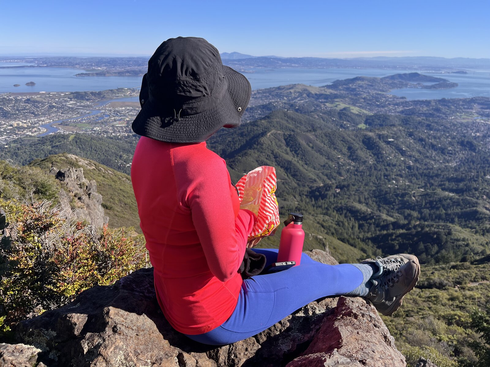
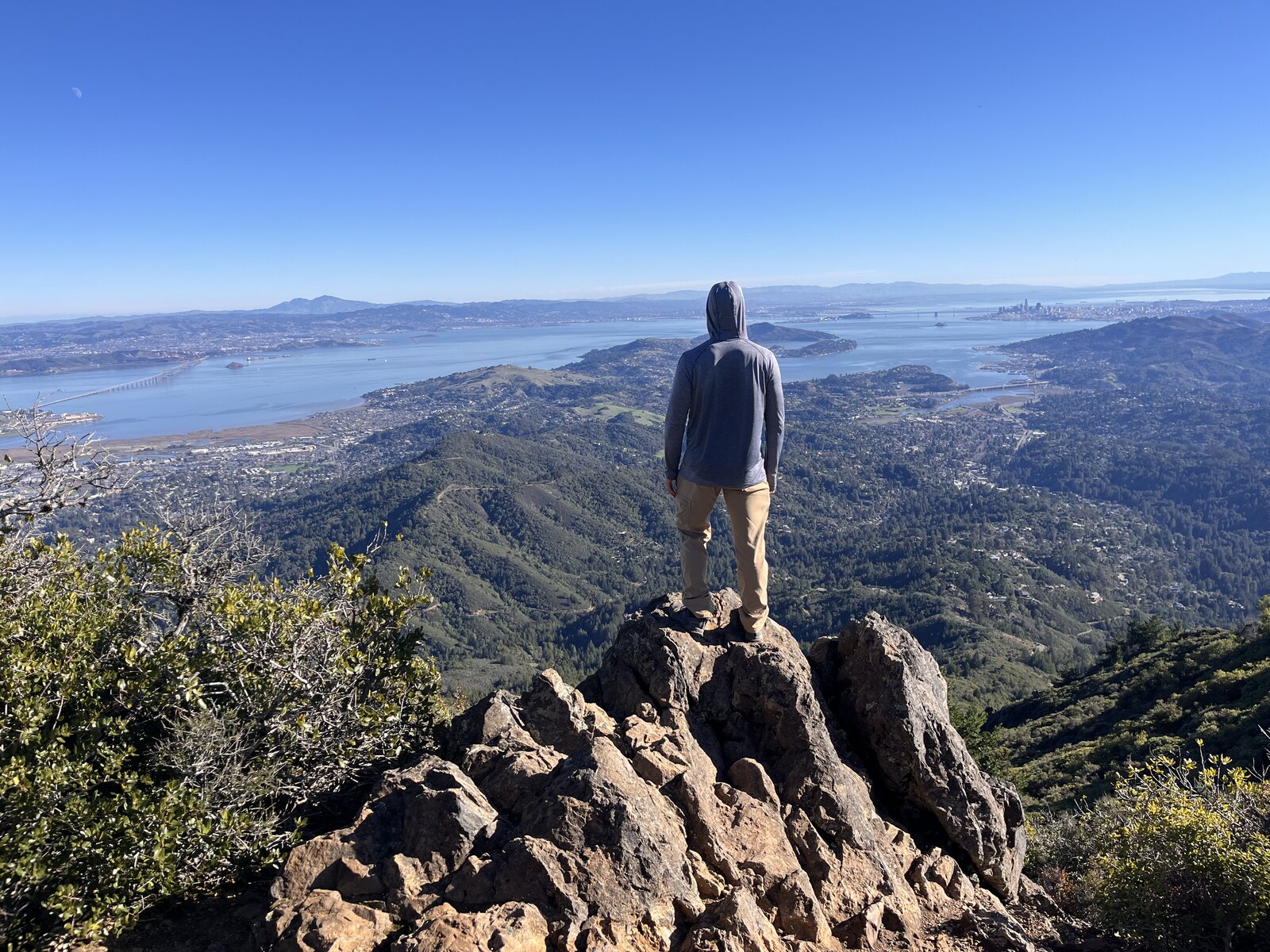
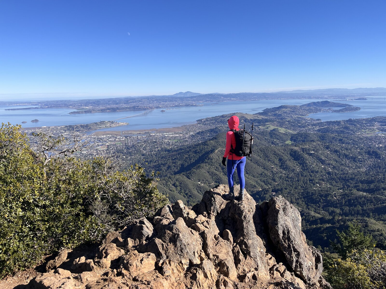
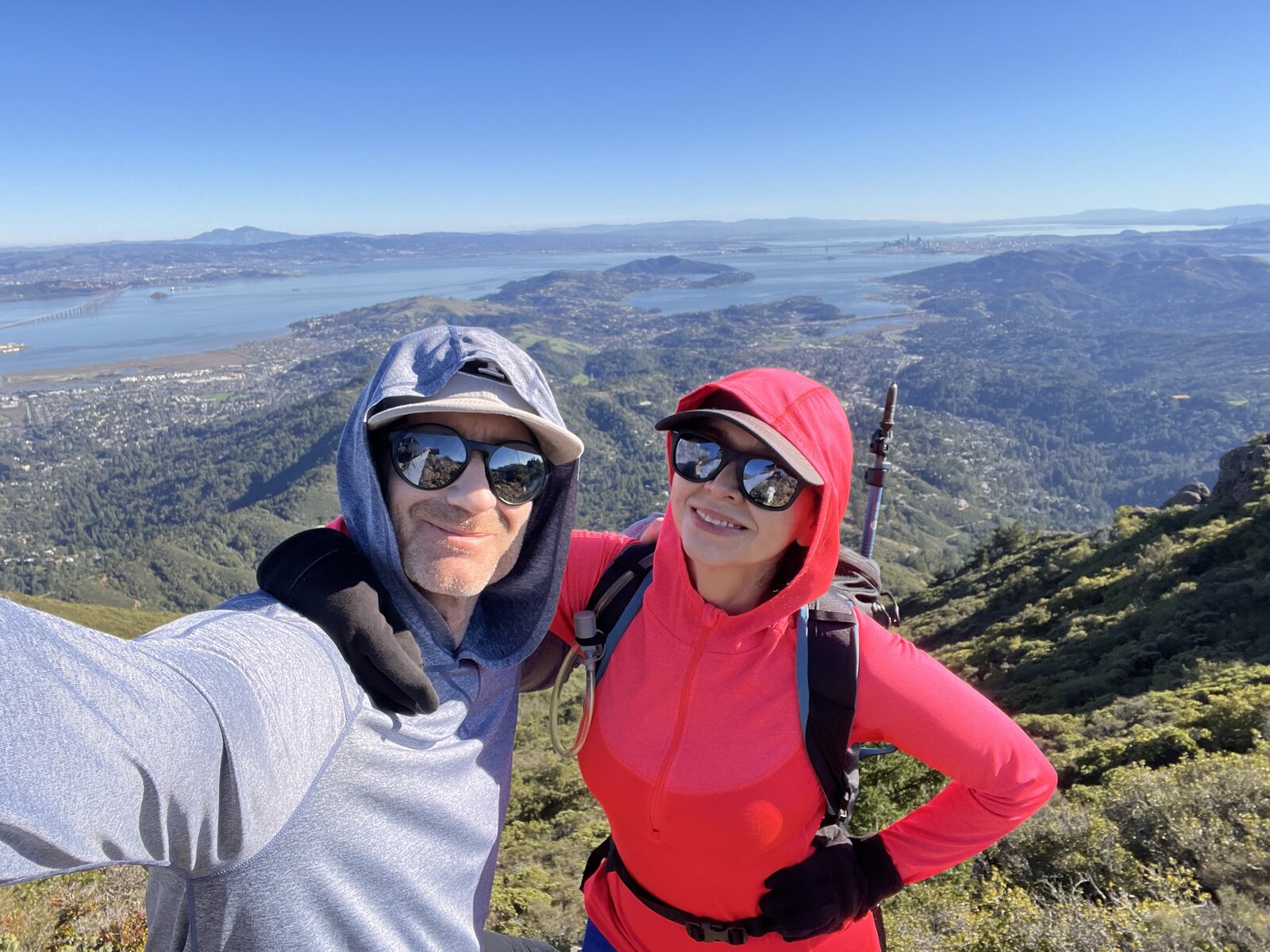
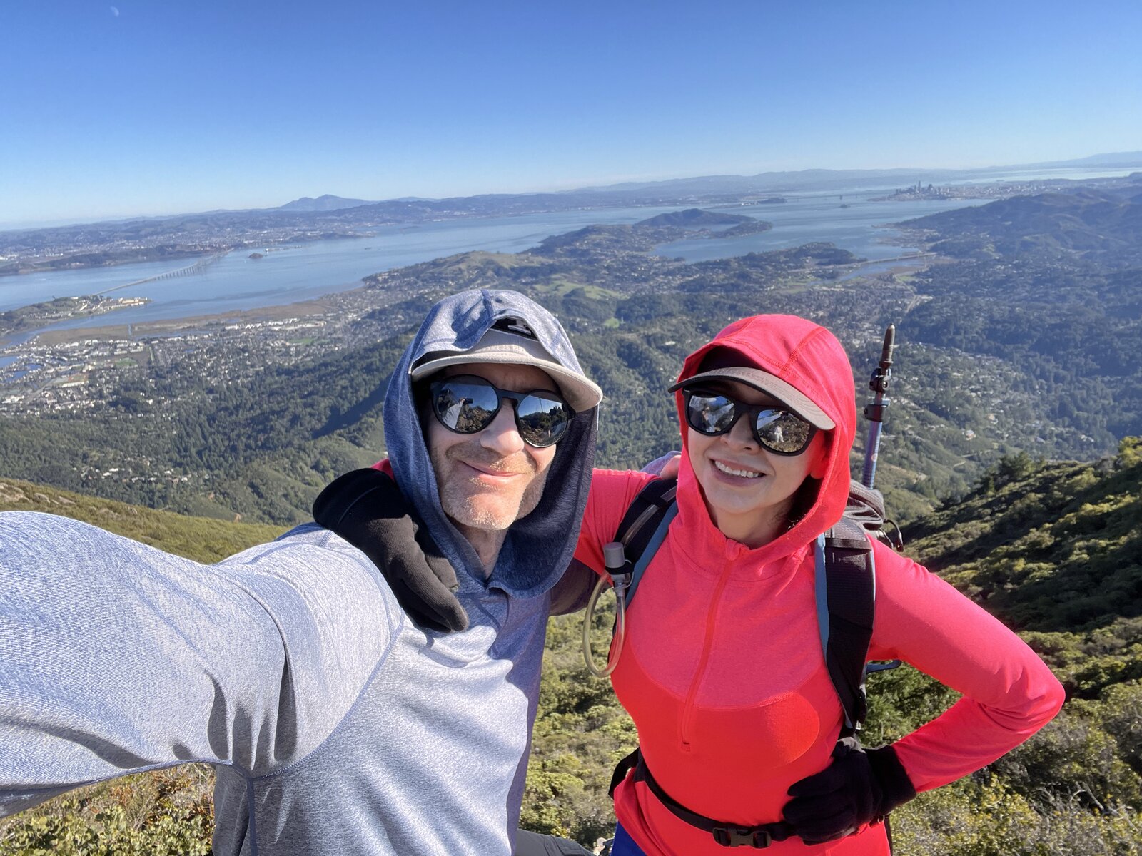
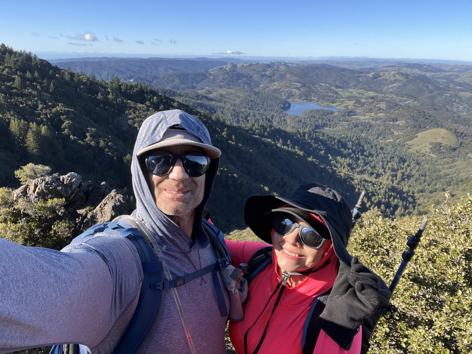
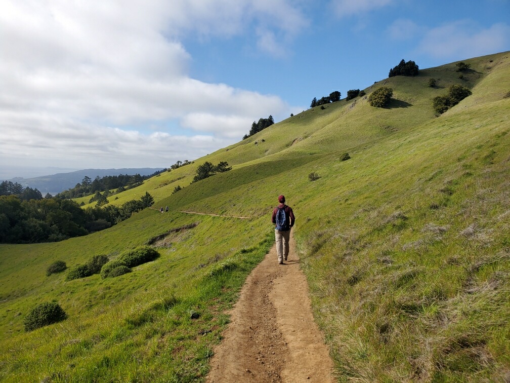
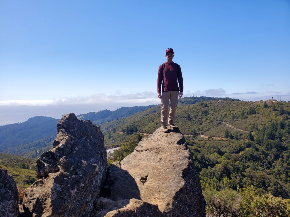
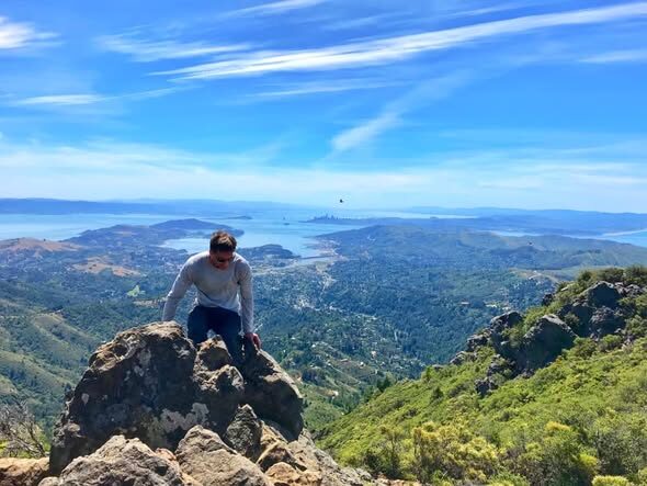
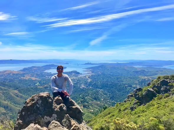
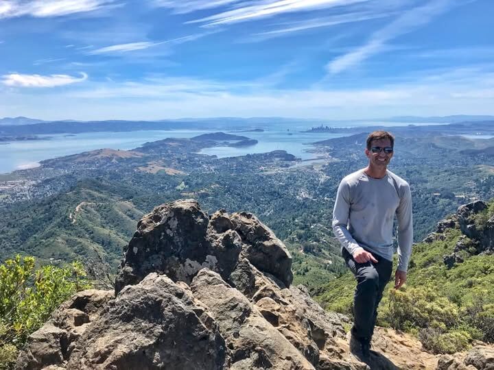
The open ridgelines above delivered the same sweeping payoff as the first trip — Richardson Bay and the whole Marin shoreline spreading out below, clear enough to pick out landmarks for miles in every direction. A snack break on the rocks just below the summit made for a good excuse to sit and take it all in before the final push to East Peak's old fire lookout.
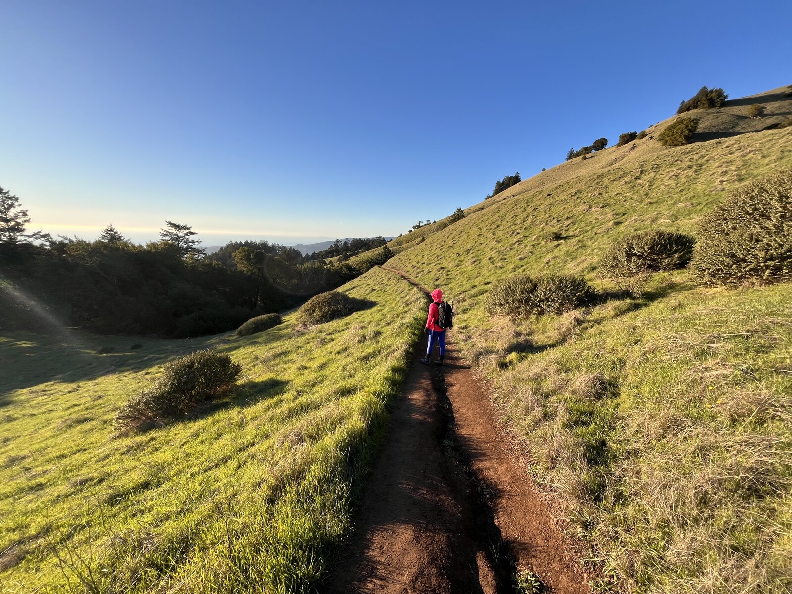
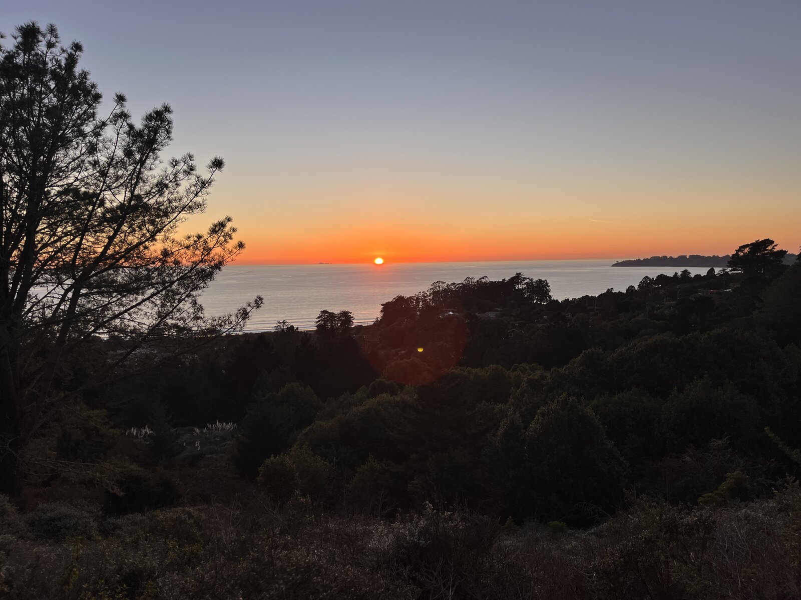
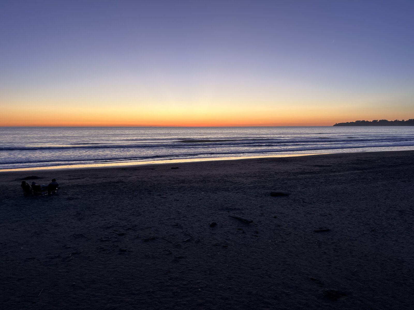
The descent brought its own reward — grassy ridgeline trail catching the last of the afternoon light, then a proper sunset materializing through the trees on the way back down toward the coast. By the time the trail spit back out onto Stinson Beach, the sun was dropping into the ocean, a perfect bookend to a day that started at the same stretch of sand that morning.
There's nothing quite like doing Mount Tam the hard way — sea level to summit and back, redwoods to open ridge to the Pacific again, legs thoroughly worked and completely worth it.
Second Ascent — March 13, 2021
Back on Mount Tam nearly two years after the first trip, this time with a much shorter loop starting from up on the mountain itself rather than sea level at Stinson Beach — Matt Davis, Old Railroad Grade, and Steep Ravine strung together into a 7.5-mile circuit. Mid-March had the hillsides doing their brief, brilliant green thing before the state's usual summer gold takes back over.
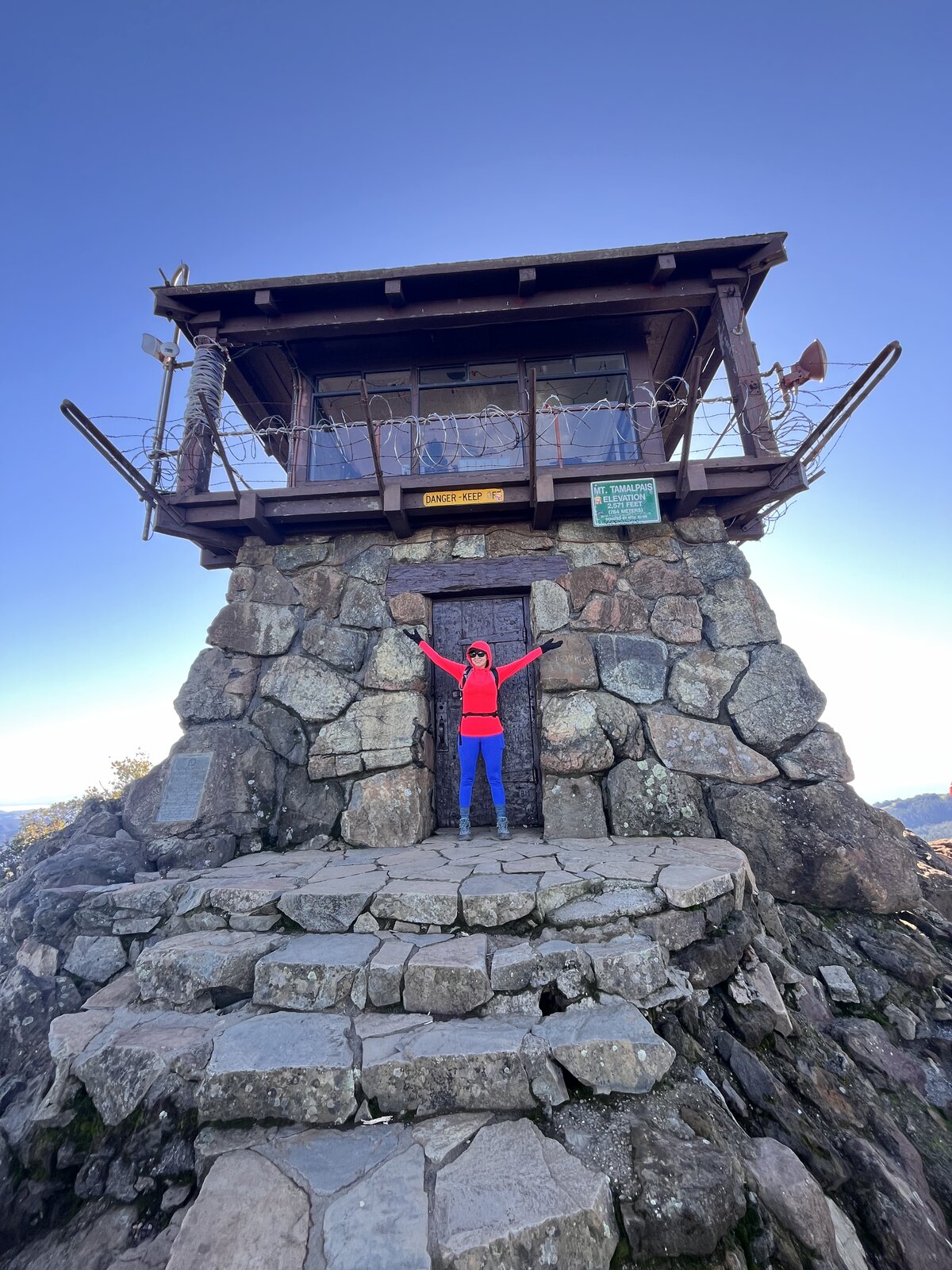
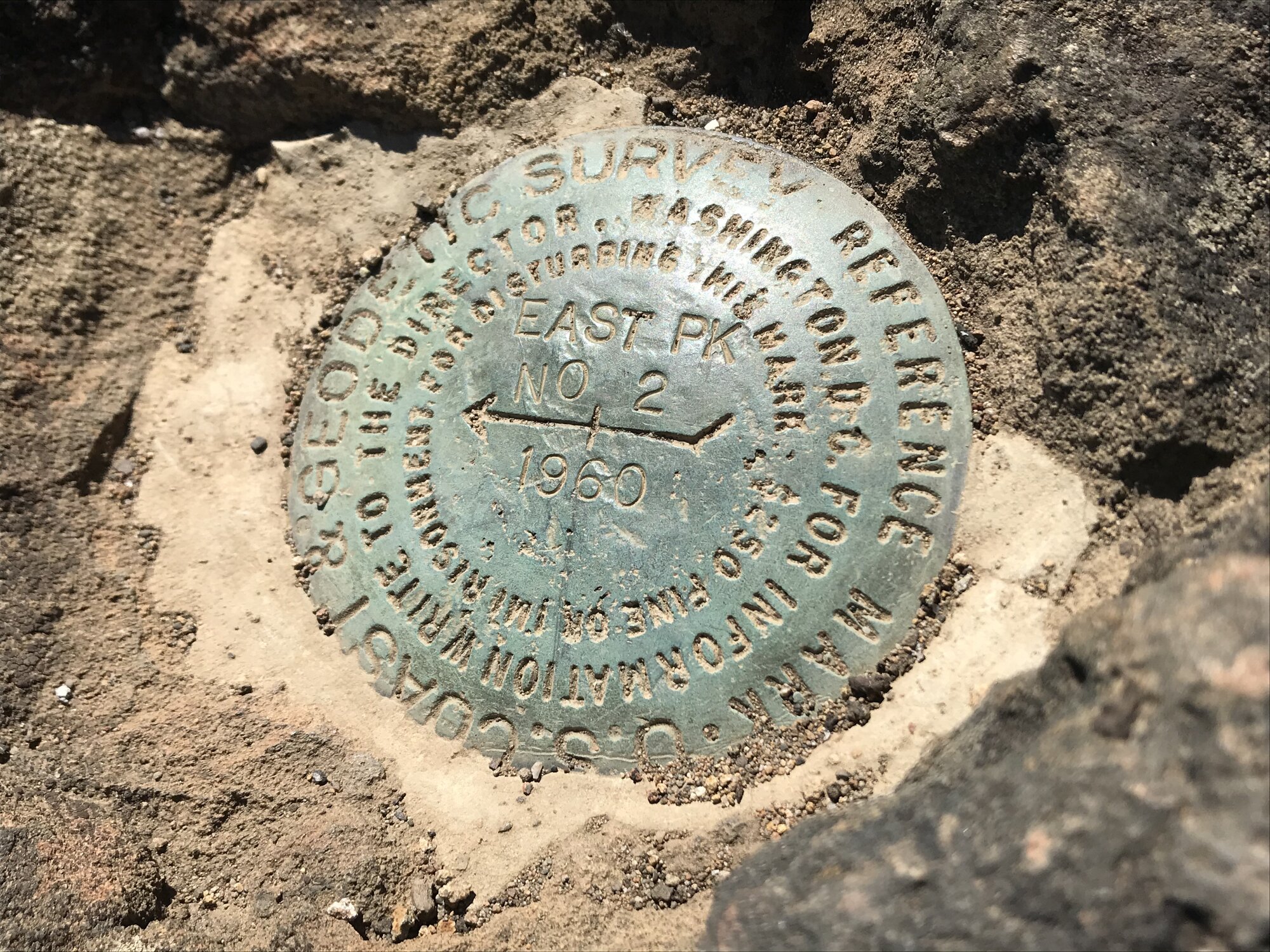
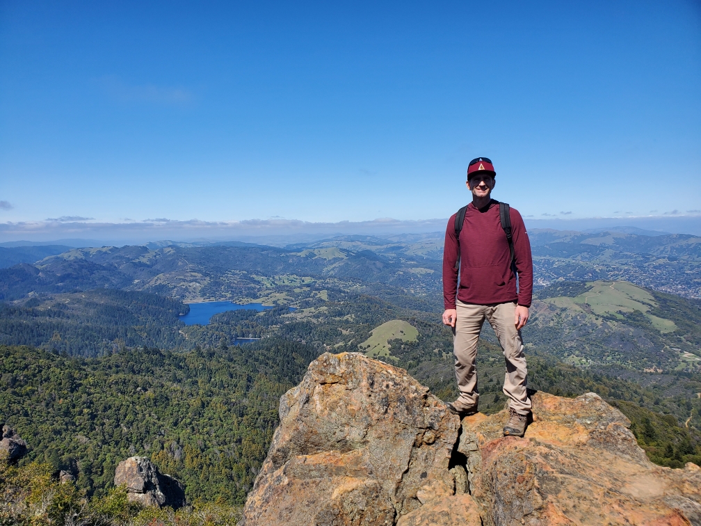
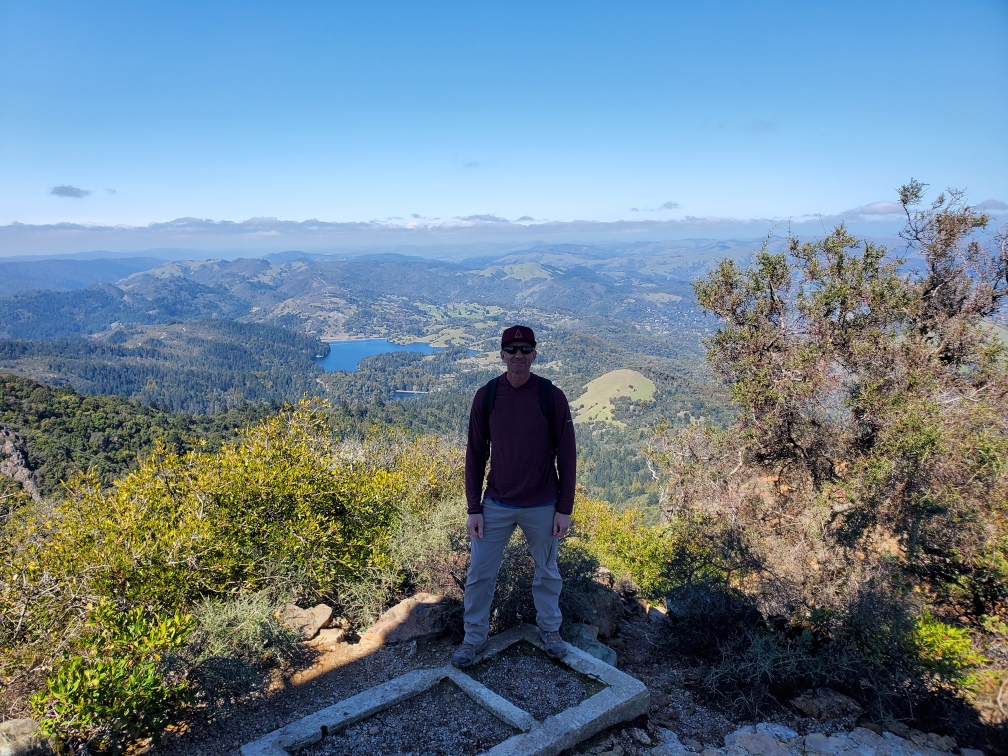
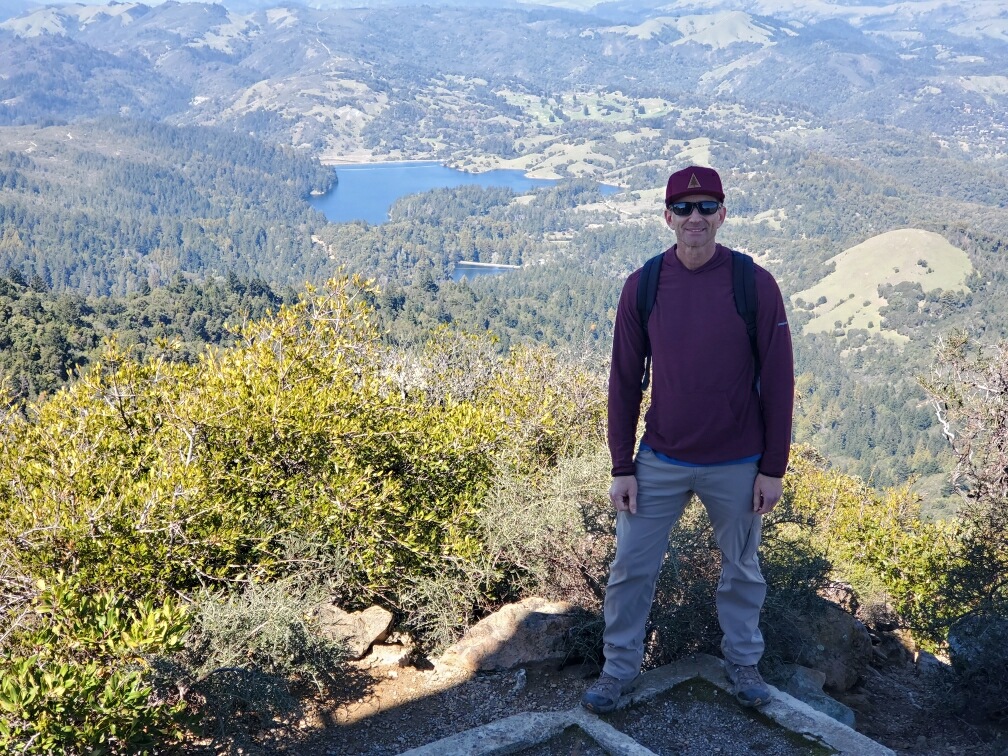
The actual high point is East Peak, marked by a small bronze survey disk bolted into the summit rock and capped by a fire lookout that's still staffed during fire season. From the rocky outcrops just below it, the view opens up in every direction — reservoirs tucked into the folds of the watershed below, Mill Valley and the Bay spreading out to the east, and on a clear day the Farallon Islands out past the coastline to the west.
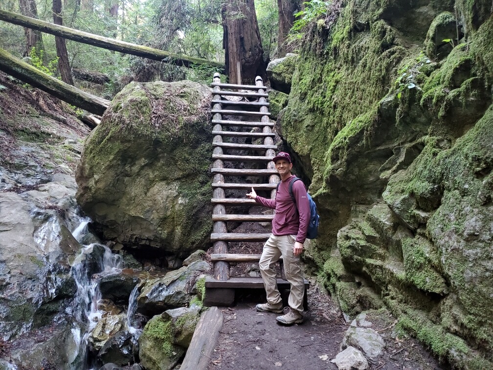
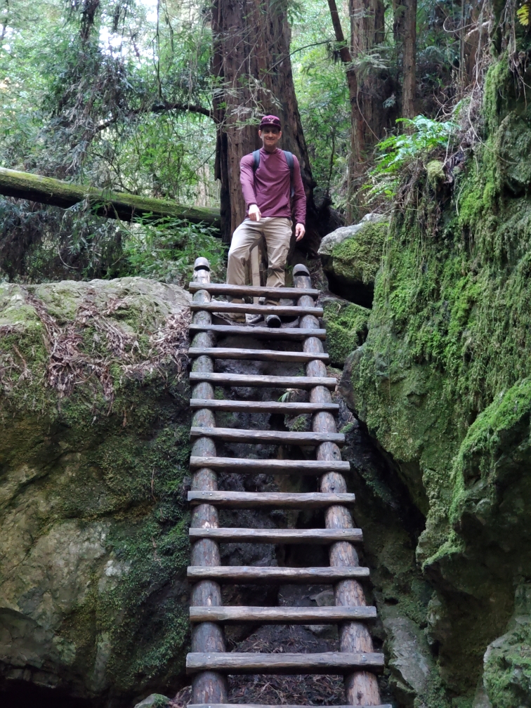
The best part of this particular loop, though, was Steep Ravine on the way back down — the trail drops into a redwood canyon along Webb Creek, and partway through, a wooden ladder bolted into the rock next to a small waterfall is the only way through a narrow gap in the boulders. A strange, fun little obstacle to find in the middle of a hike, moss-covered and damp, with redwoods towering overhead blocking out most of the sky.
First Ascent — June 9, 2019
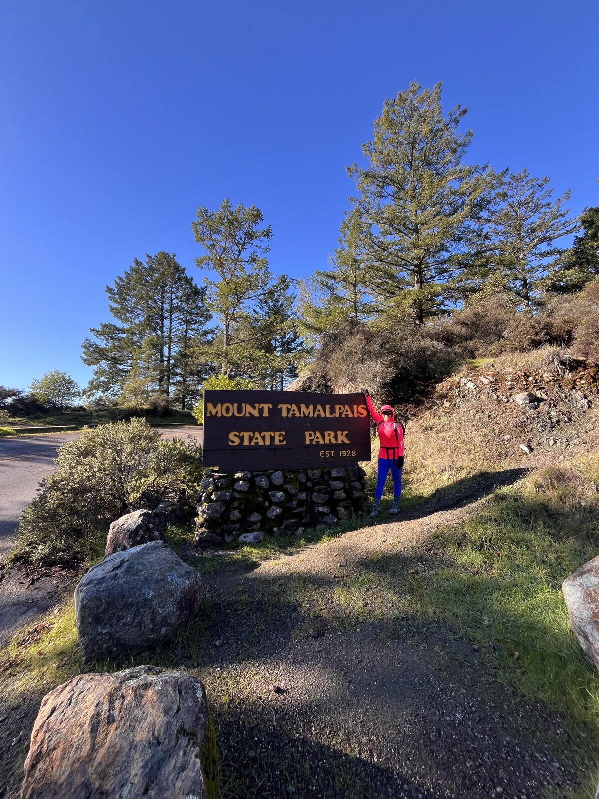
Mount Tamalpais is a mountain you can drive almost to the top of, but doing it the hard way — starting at sea level on Stinson Beach — makes for a completely different, much more earned experience. The route climbs out of Stinson through the lush, fern-lined Steep Ravine Trail, threading past redwoods and creek crossings before breaking out onto the open, grassy ridgelines that lead up toward the summit.
At 2,571 feet, East Peak is the highest point on Mount Tam, and the payoff from the rocky summit blocks is one of the best views anywhere in the Bay Area — Angel Island, Richardson Bay, and the San Francisco skyline all laid out across the water on a clear day. 16.7 miles round trip and around 3,300 feet of gain made for a full day out, with plenty of time to enjoy the summit rocks before heading back down.
A true sea-to-summit hike, and a good reminder that the classic drive-up mountains can still deliver a serious day out if you're willing to start at the bottom instead.
Comments