Eagle Peak & Mount Diablo
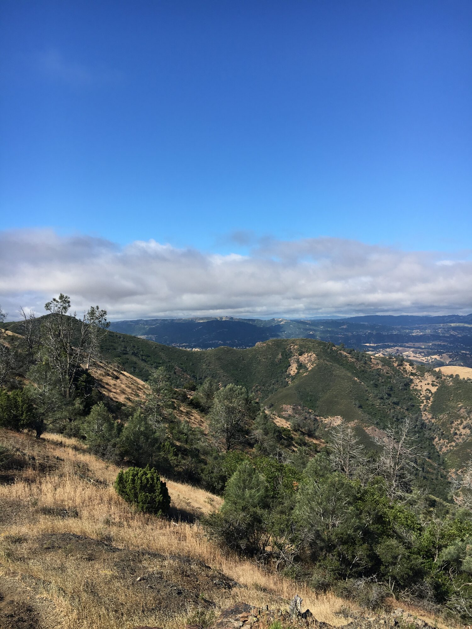
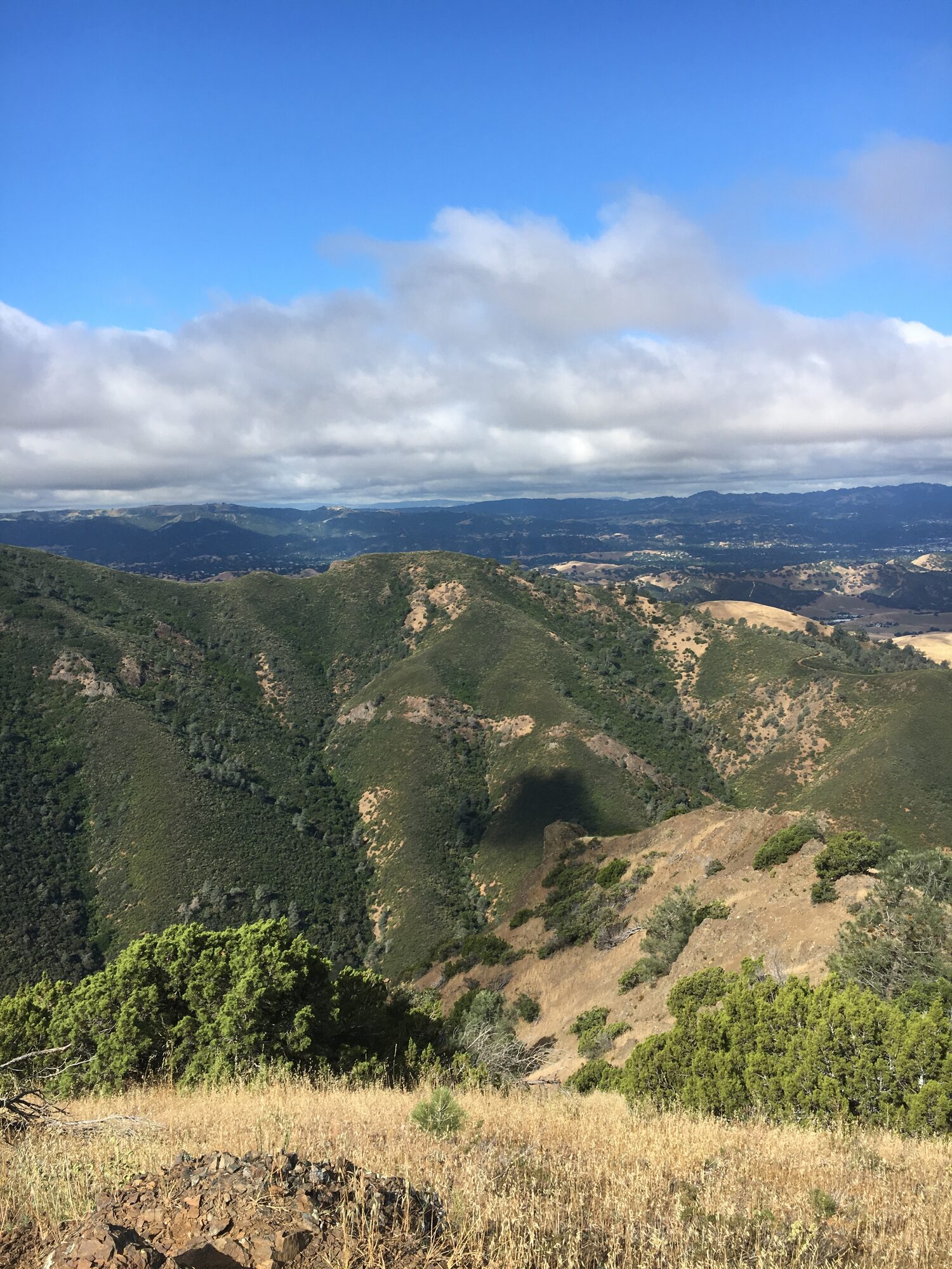
Before there were six-peak days and seven-peak days on this mountain, there was this one: Eagle Peak first, then straight up to Mount Diablo's summit, out of the Mitchell Canyon Staging Area. Mitchell Canyon Road climbs steadily through oak woodland before breaking out onto more exposed chaparral slopes, with Eagle Peak's rocky summit ridge coming into view well before the trail actually gets there.
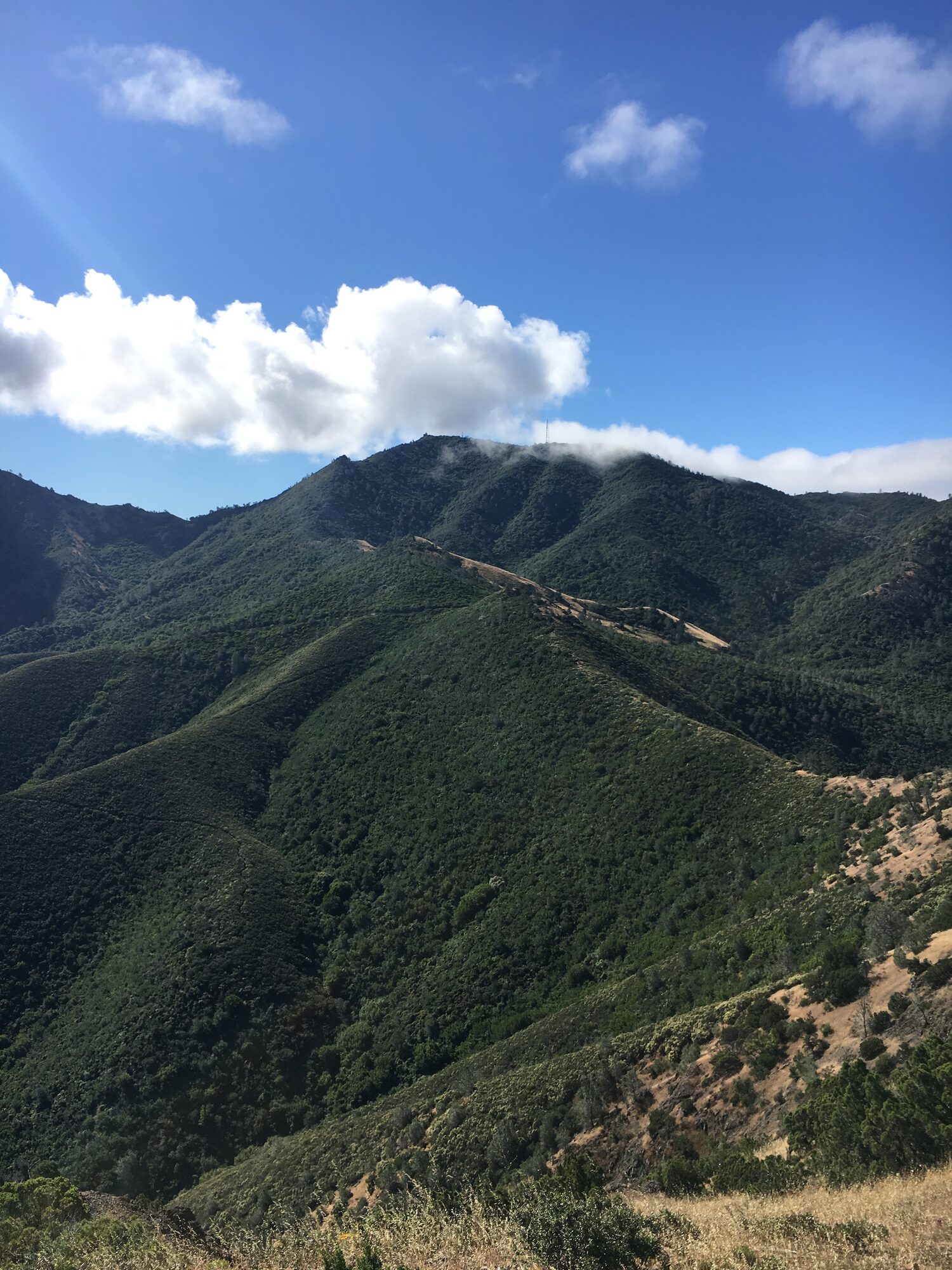
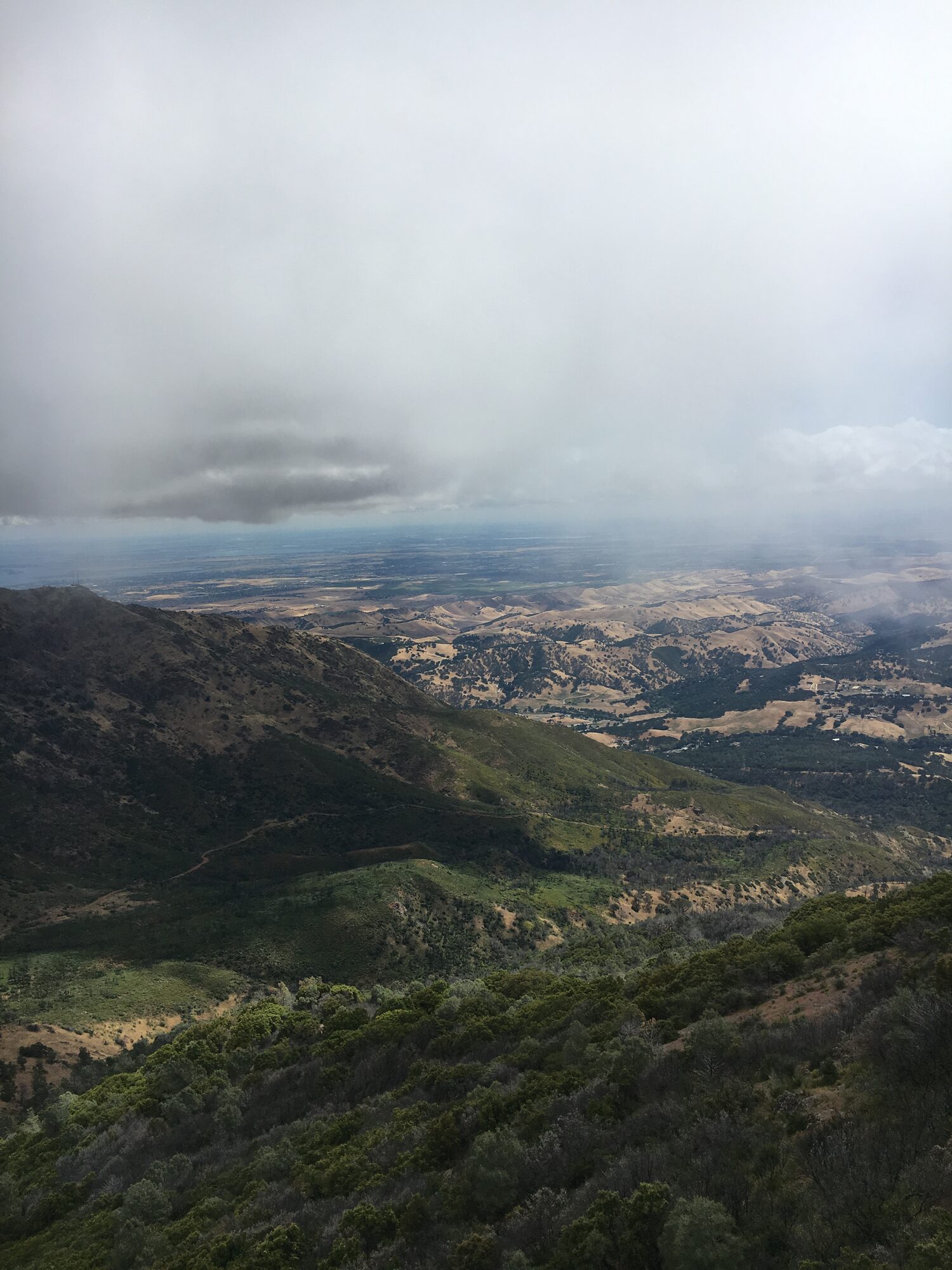
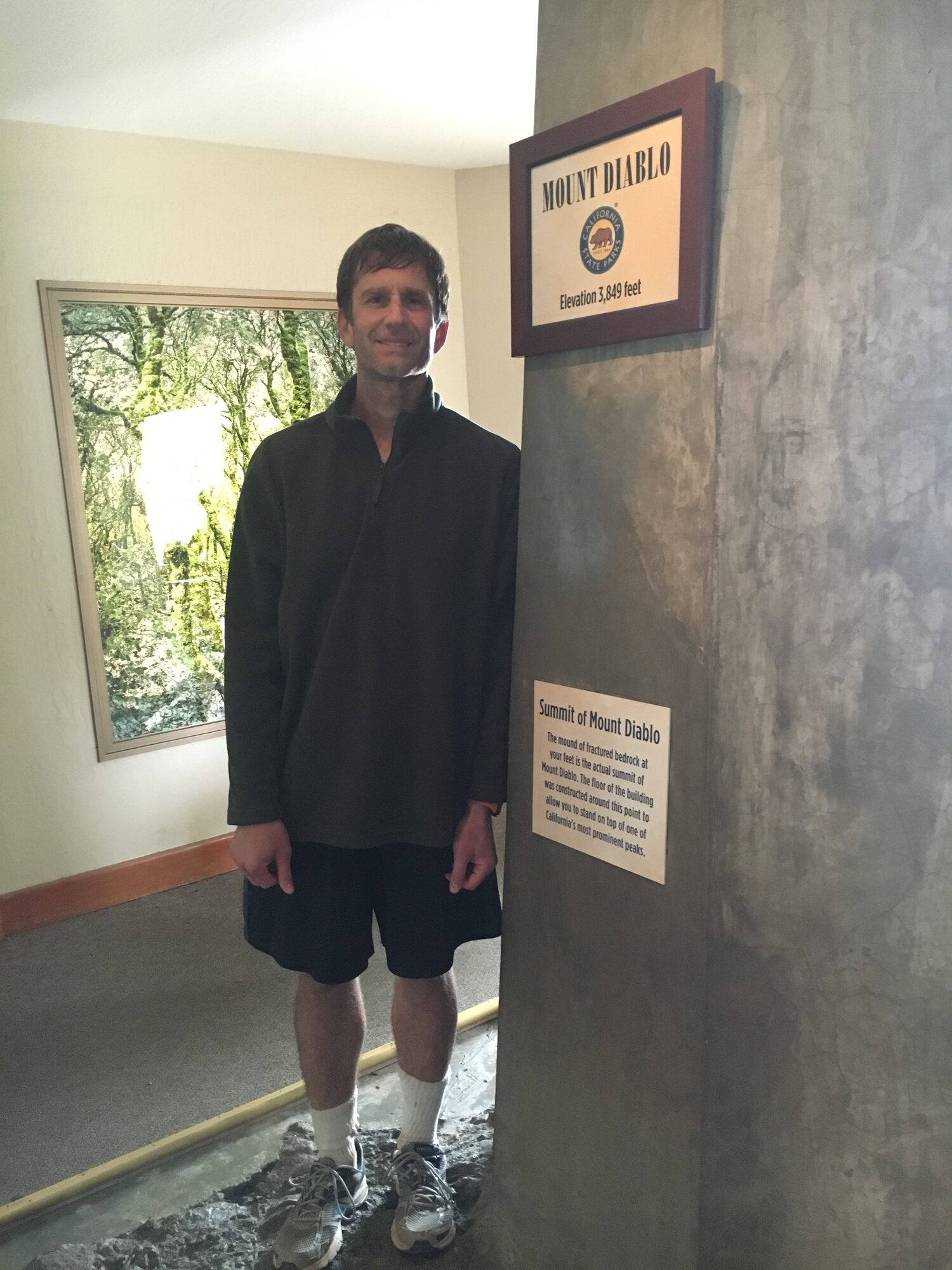
Eagle Peak's summit is a narrow, knife-edge rock ridge at 2,369 feet with barely enough flat ground to stand on, and it's a completely different feeling from the main event still to come. From there the route continues on toward Mount Diablo's true summit at 3,849 feet, dropping into a saddle and climbing back out again before the final push up to the observation deck, the visitor center, and the small marker showing the exact high point.
Thirteen miles and about 3,350 feet of gain, two summits, and a first real look at what this mountain had to offer — this was the hike that got me coming back to Diablo again and again in the years since.
Photos

Comments