Mount Whitney
At a Glance
- Route
- Mount Whitney Trail (Main Trail); also climbed via the Mountaineer's Route
- Trailhead
- Whitney Portal
- Permit
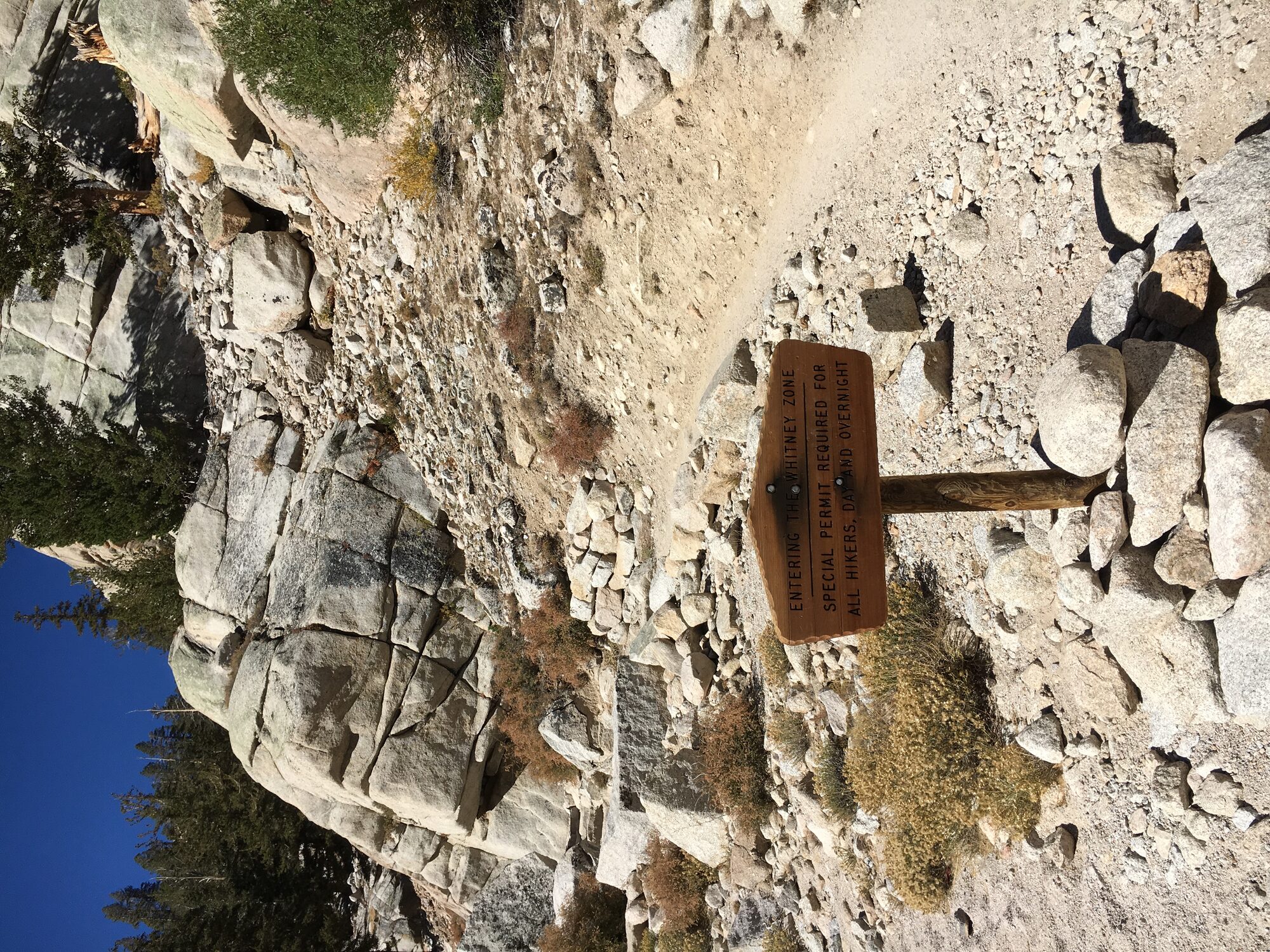
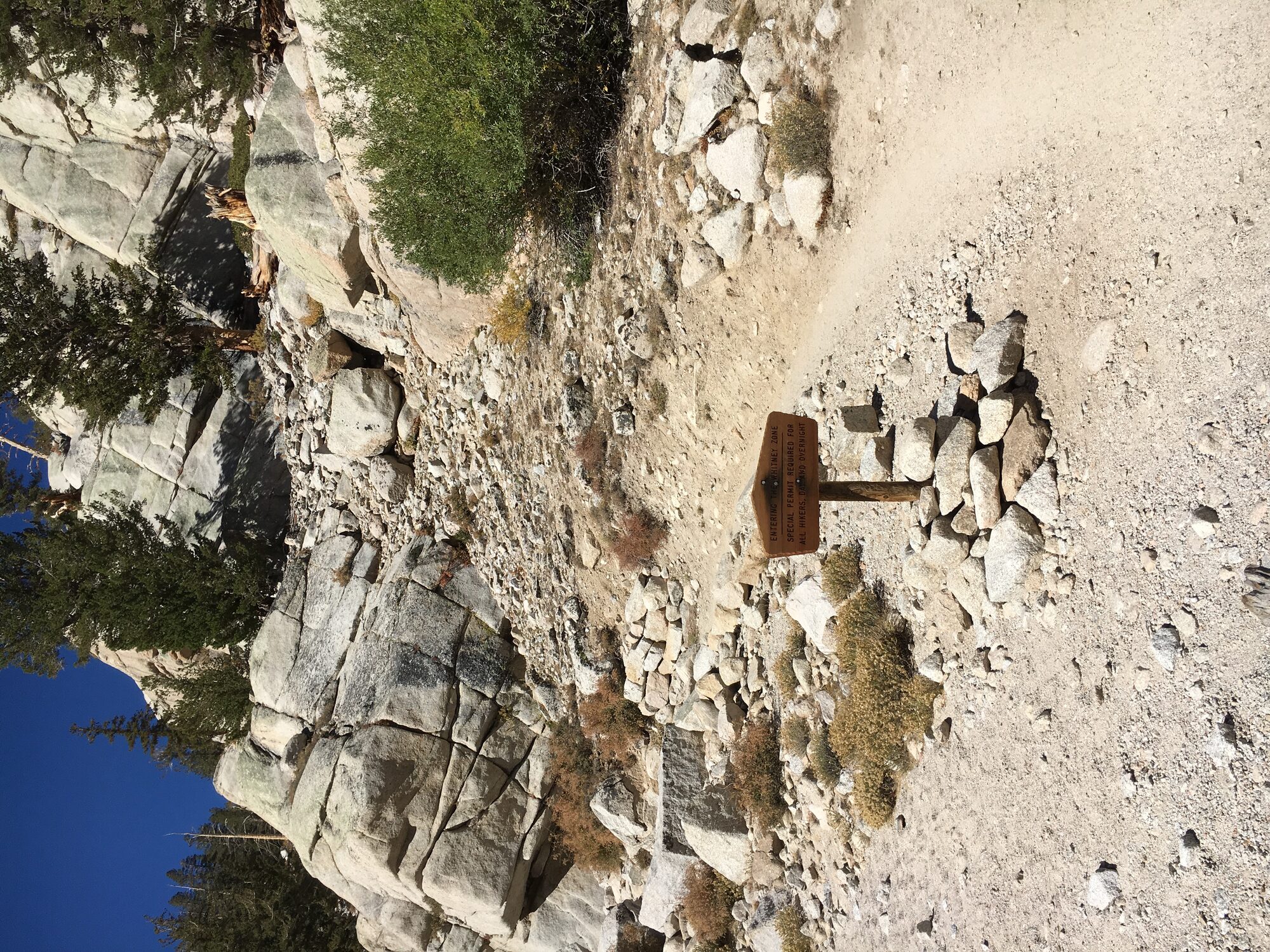
- Required year-round beyond Lone Pine Lake (quota season May 1–Nov 1, lottery via recreation.gov)
- Typical Season
- May through October; July–September for the most reliably snow-free trail
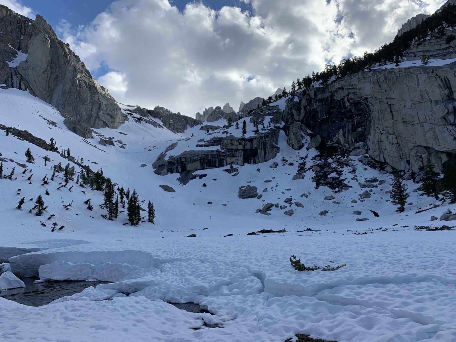
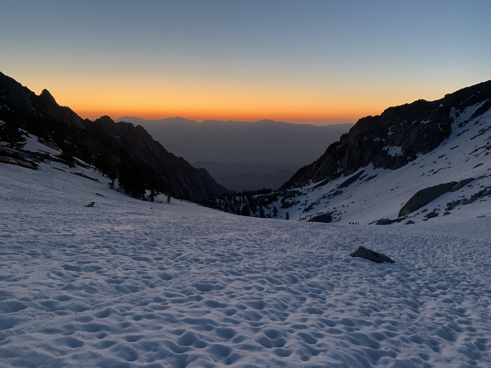
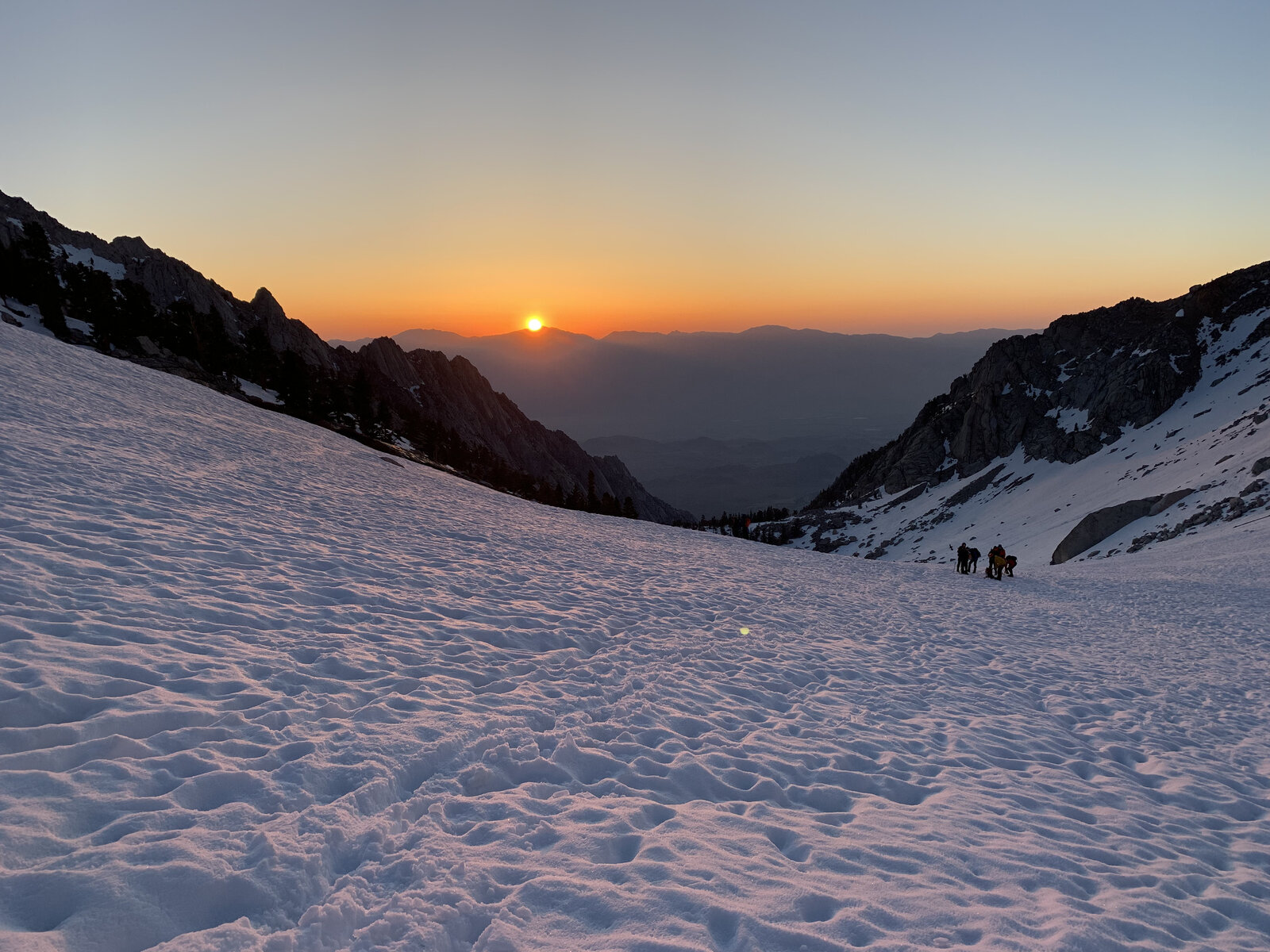
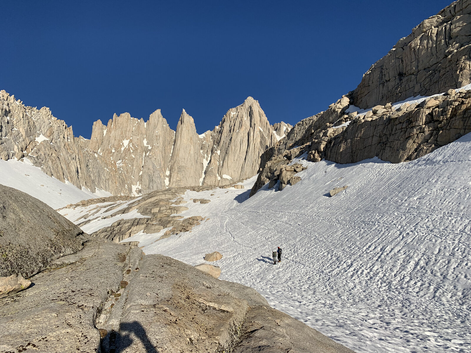
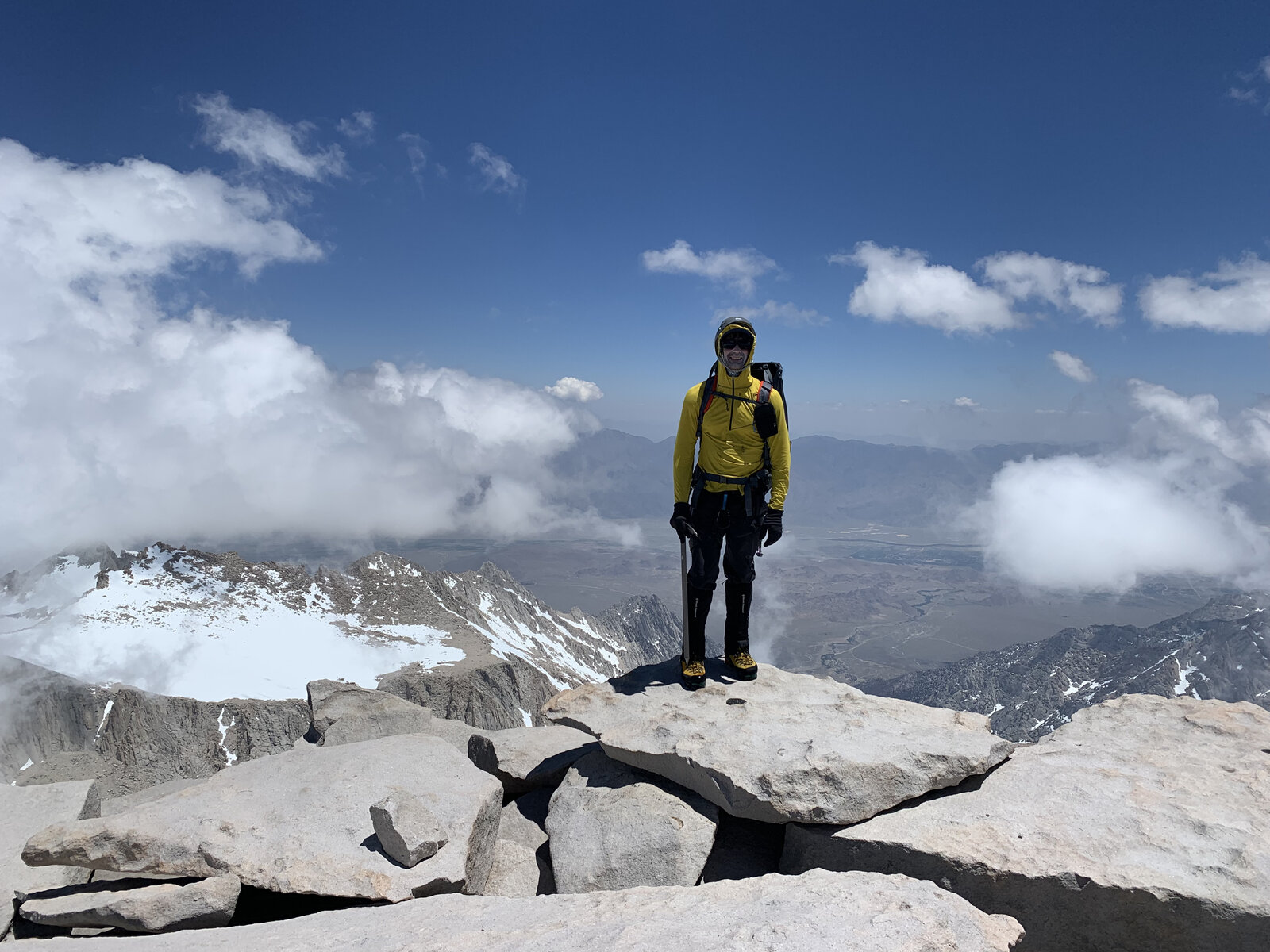
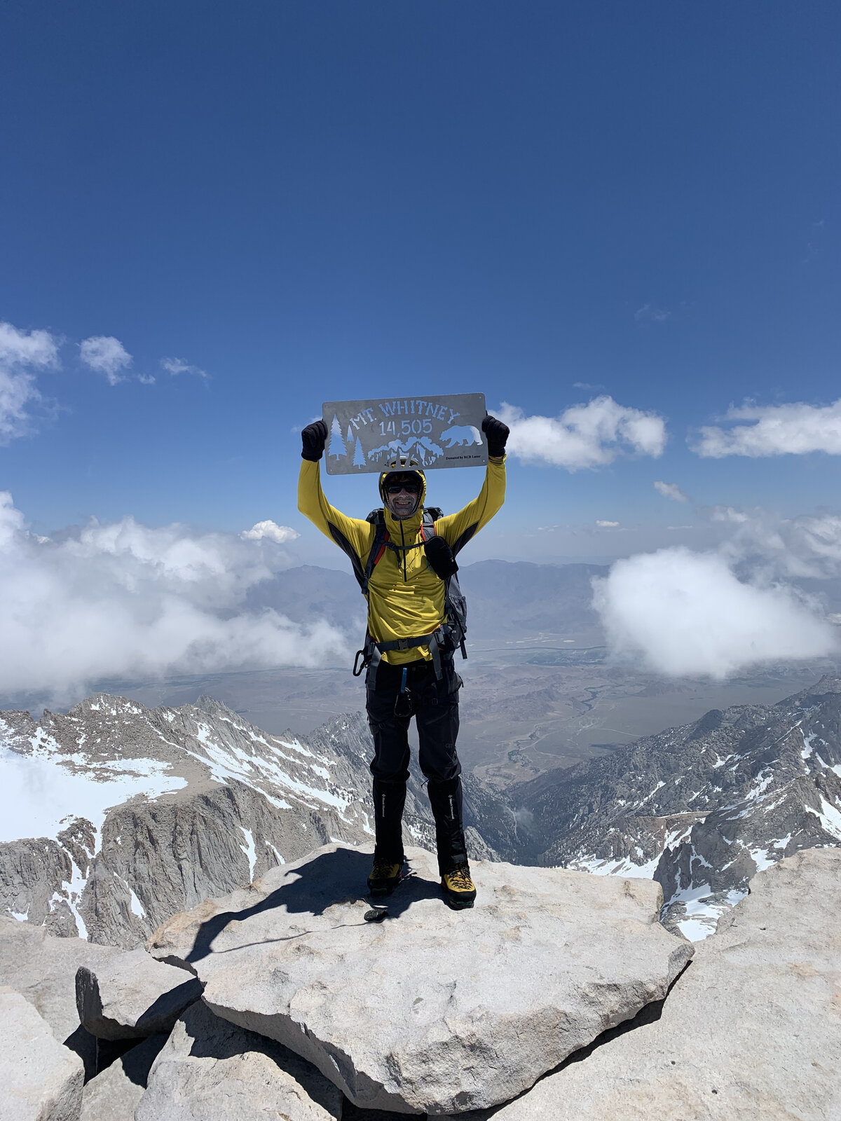
Third Ascent — Mountaineer's Route — May 28, 2023 — Most Recent
Two ascents of Whitney by the Main Trail weren't enough — this time I went after the Mountaineer's Route, the steeper, more direct line up the mountain's east side, and brought on a guide to do it right. With the amount of snow still on the mountain over Memorial Day weekend 2023, this wasn't optional; the final push required ropes and real climbing equipment both going up and coming back down, and I couldn't have done that stretch without an expert alongside me. Cole, our guide, was knowledgeable on every part of the trip and made the whole thing feel approachable even when the terrain didn't.
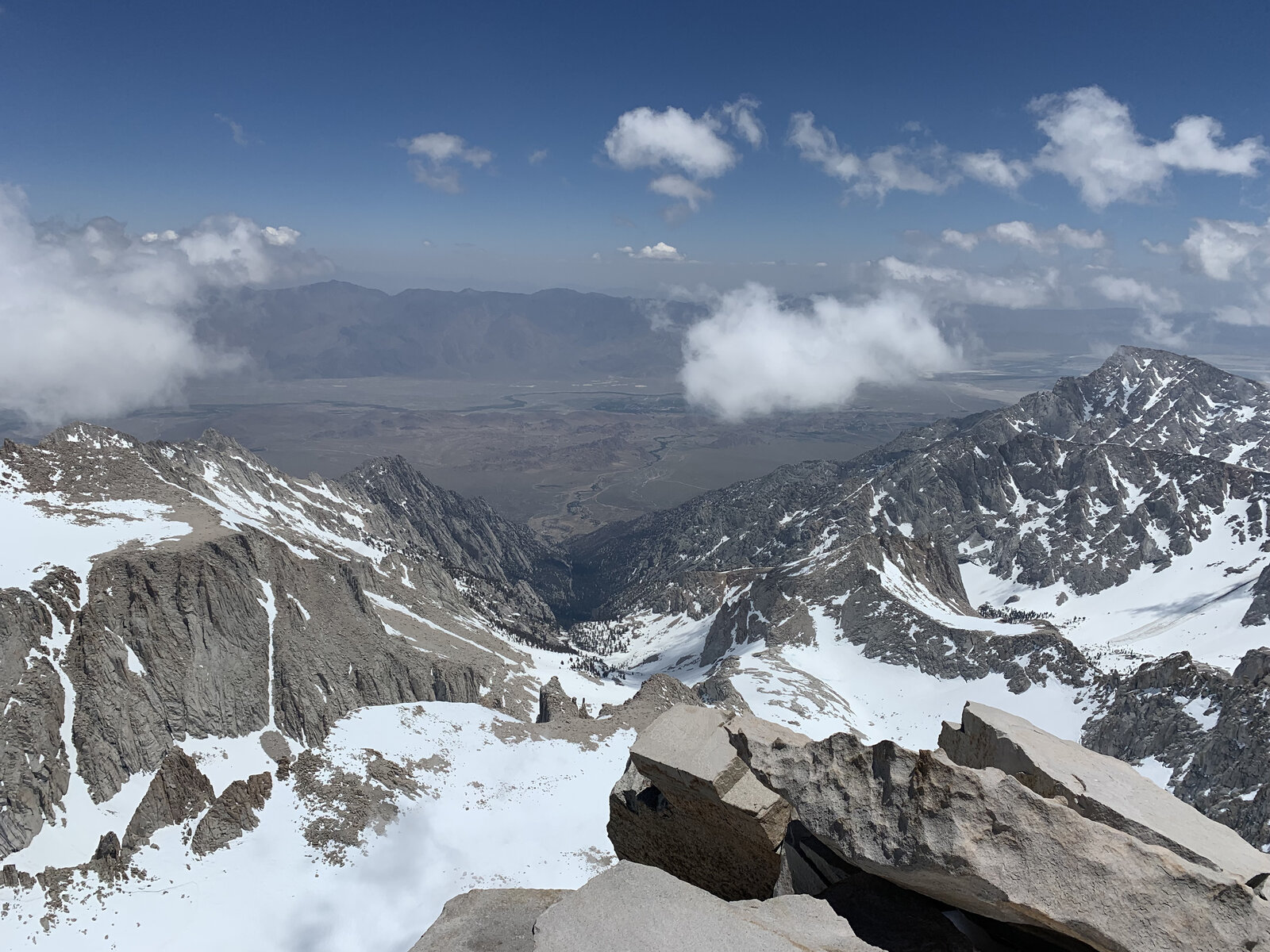
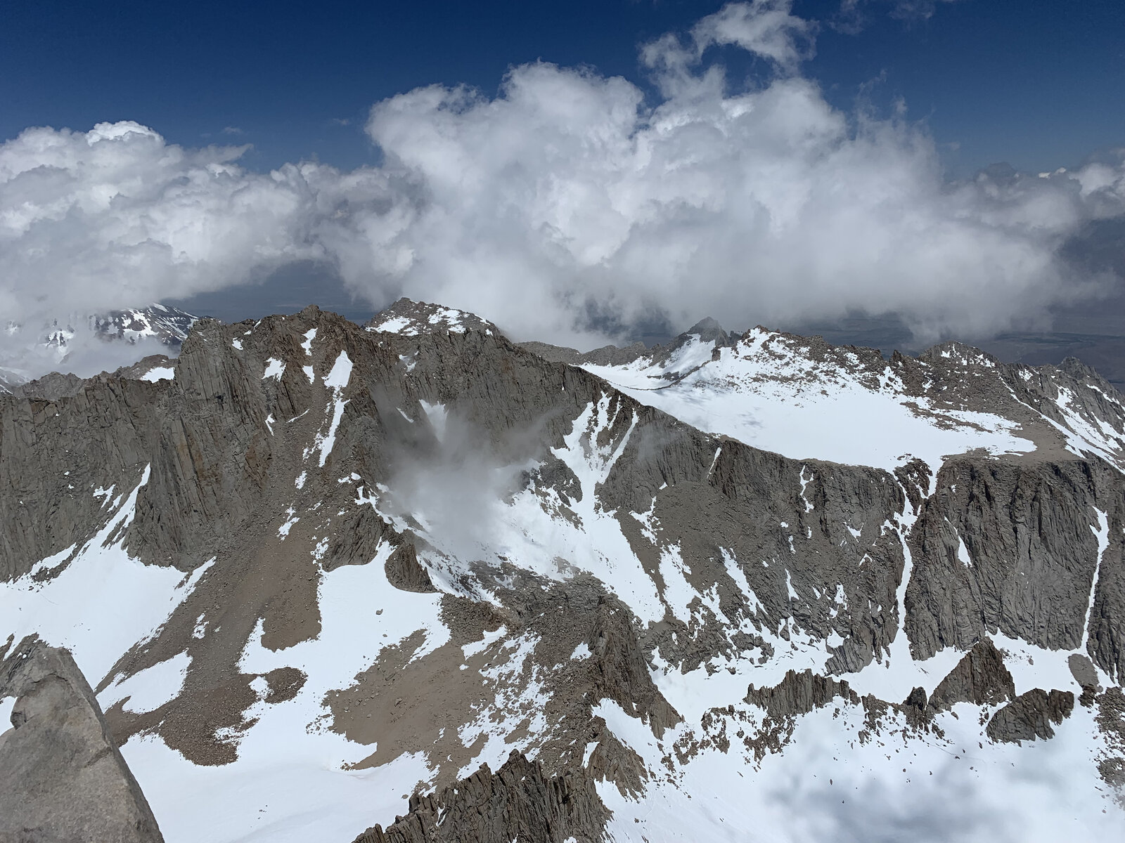
Day one was a backpack in to Lower Boy Scout Lake to make camp, hauling overnight gear up through the North Fork drainage instead of a single day push. We were up at 3:00 AM the next morning to start the real climb. Most of the route up to The Notch called for crampons, an ice axe, and a helmet — steep, sustained snow travel that was hard at times but genuinely doable with the right gear and technique.
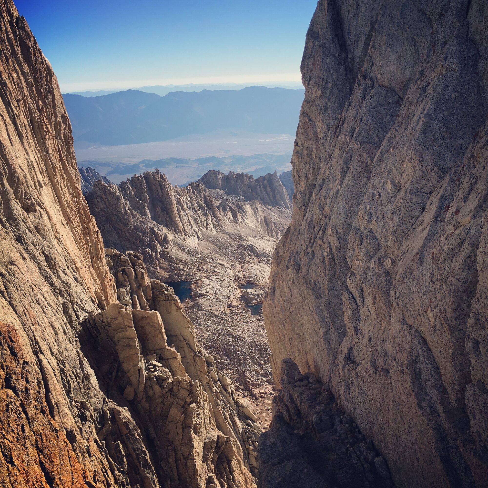
The Notch itself is where the day changed character completely. From there, the final push to the summit was steep enough, and exposed enough with the snow conditions, that we roped up and climbed it properly, both on the way up and on the way back down. It's a short stretch by distance but by far the most demanding climbing I'd done to that point — the kind of terrain where having an expert on the rope with you isn't a luxury, it's the whole reason you make it up and back safely.
We got back down through The Notch, retraced our steps to camp, and rolled in around 7:00 PM — a long day, with some sinking into soft afternoon snow on the way down that we had to work through, but everyone in the group came through it in good shape. Standing on Whitney's summit a third time, by a route that actually required technical skill to get there, felt like a real step forward. I've still got a long way to go to call myself competent in mountaineering, but days like this are how you get there.
Second Ascent — Backpacking Trip — September 24-25, 2022
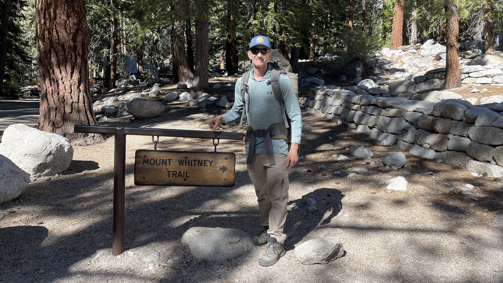
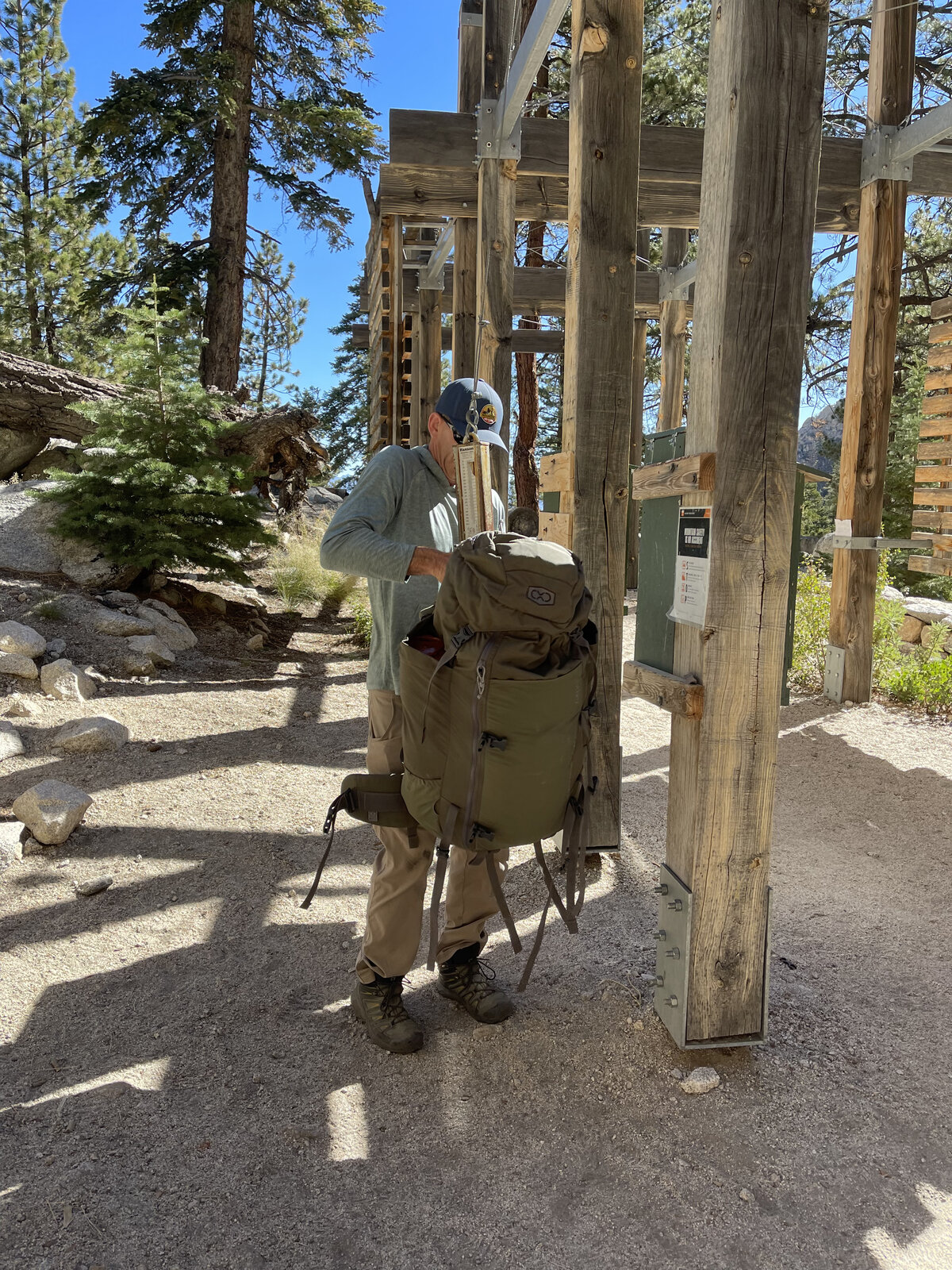
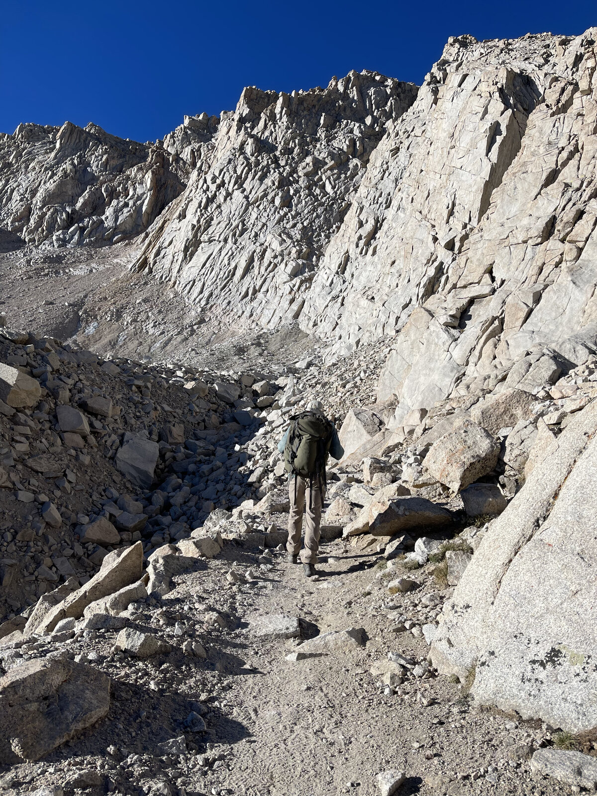
Six years after the first trip up Whitney in a single overnight push, I came back and did it properly as a two-day backpacking trip instead — starting from the same trailhead in the afternoon, loading up at the bear boxes, and taking the Main Trail up at a much more reasonable pace toward Trail Camp instead of grinding straight through the night.
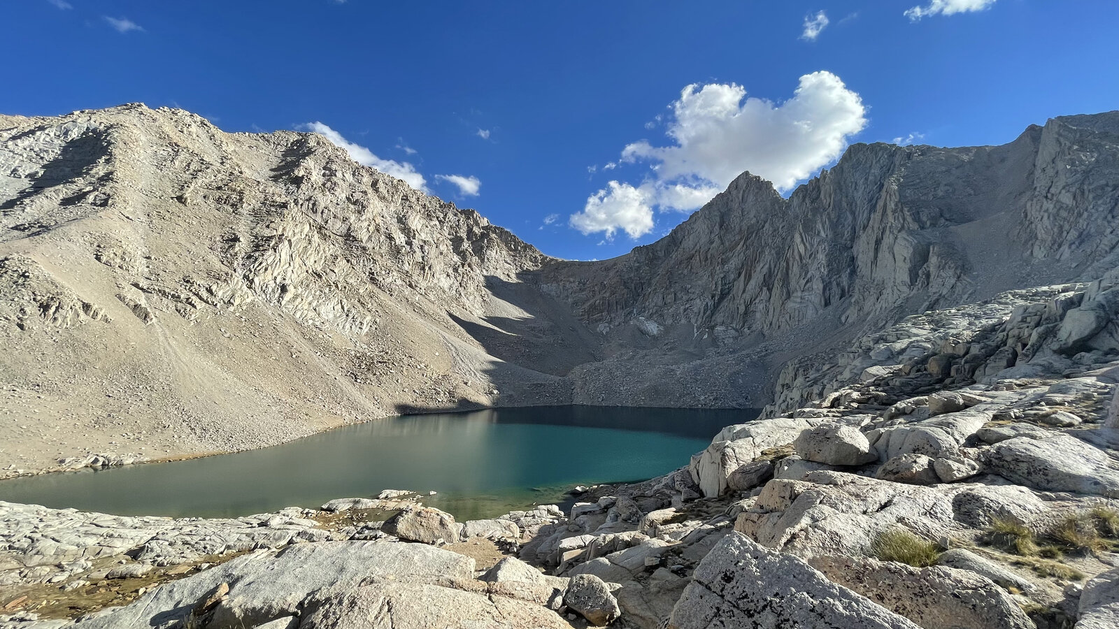
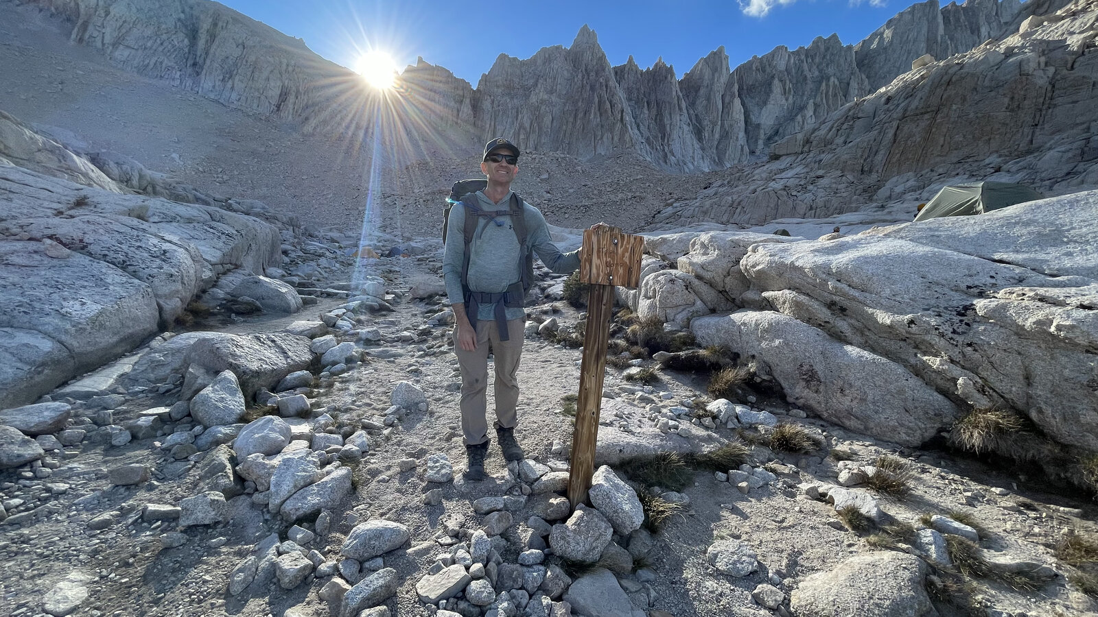
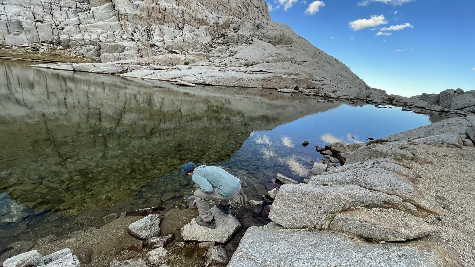
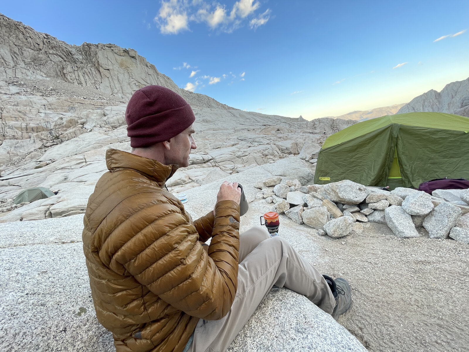
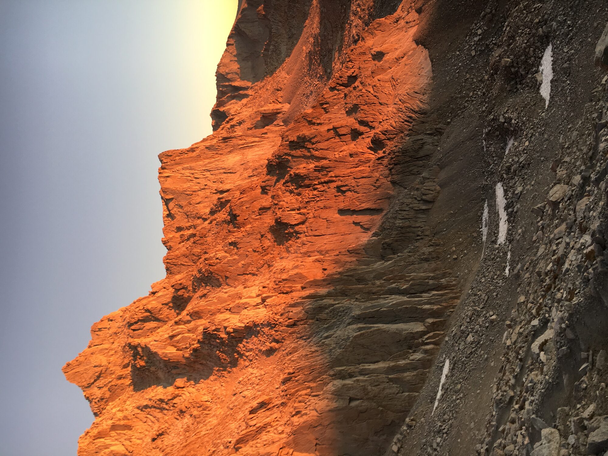
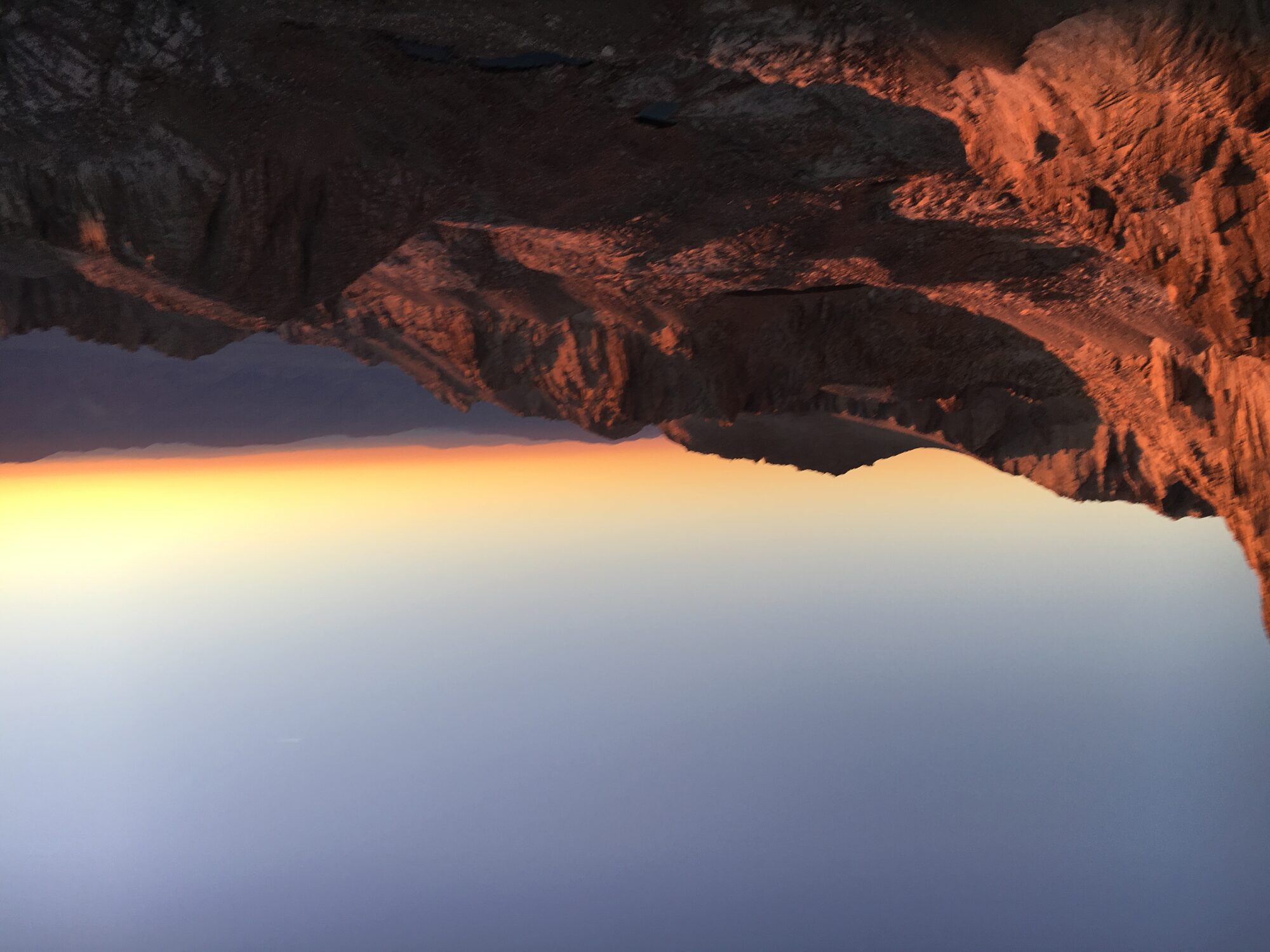
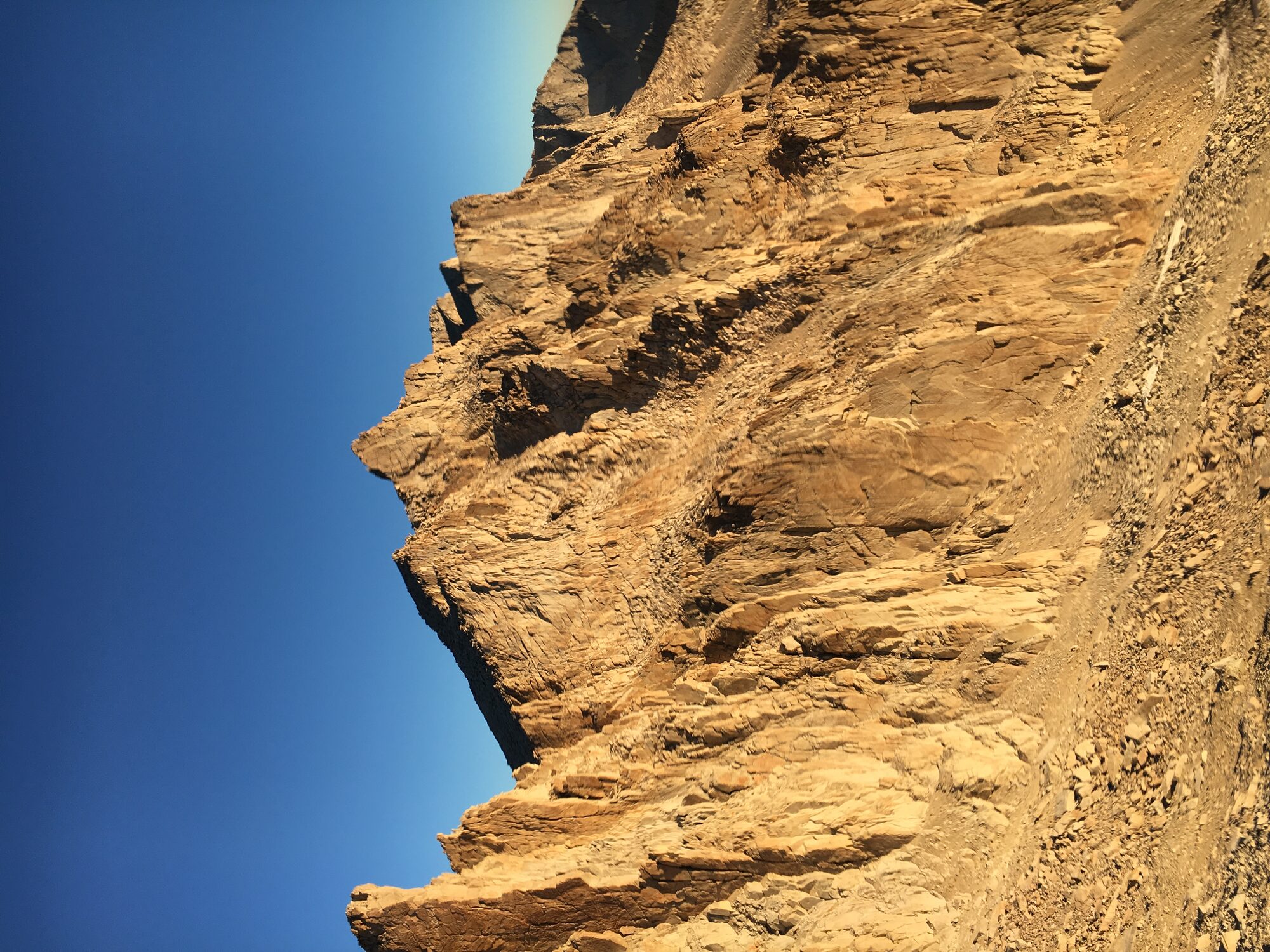
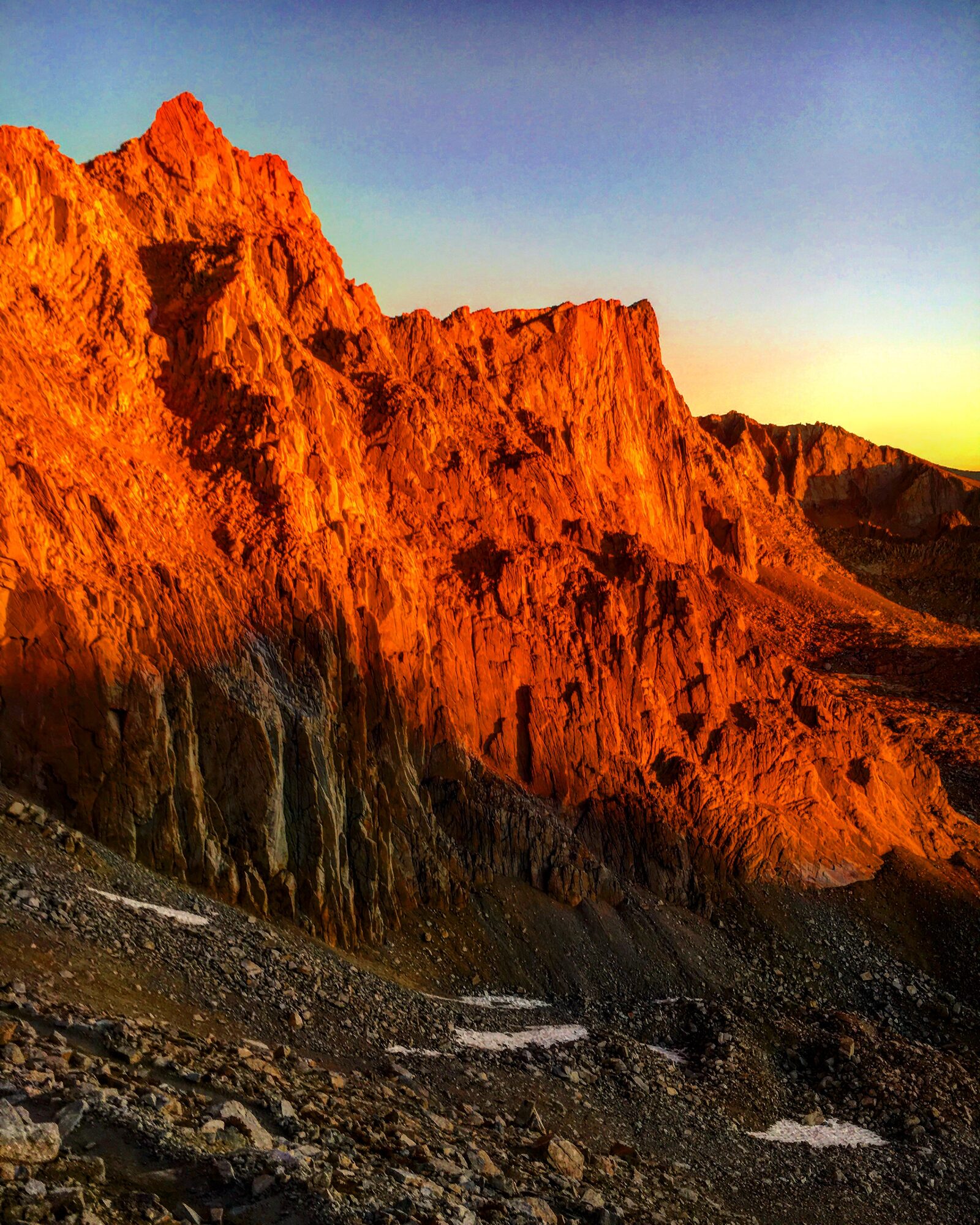
Trail Camp sits right below the infamous 99 switchbacks, with Whitney's jagged eastern crest lit up gold in the evening light and a small alpine tarn to filter water from. Camp life up there was its own reward — filtering water at the edge of the lake, watching the light fade over the tent with a warm drink in hand, none of the sleep-deprived tunnel vision from the first trip six years earlier.
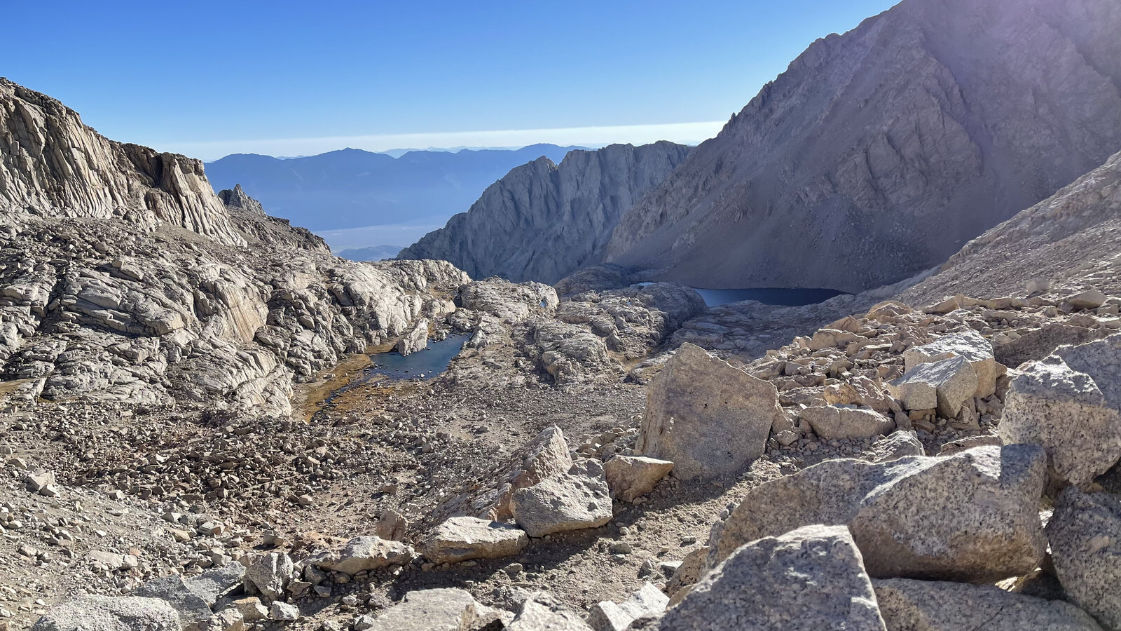
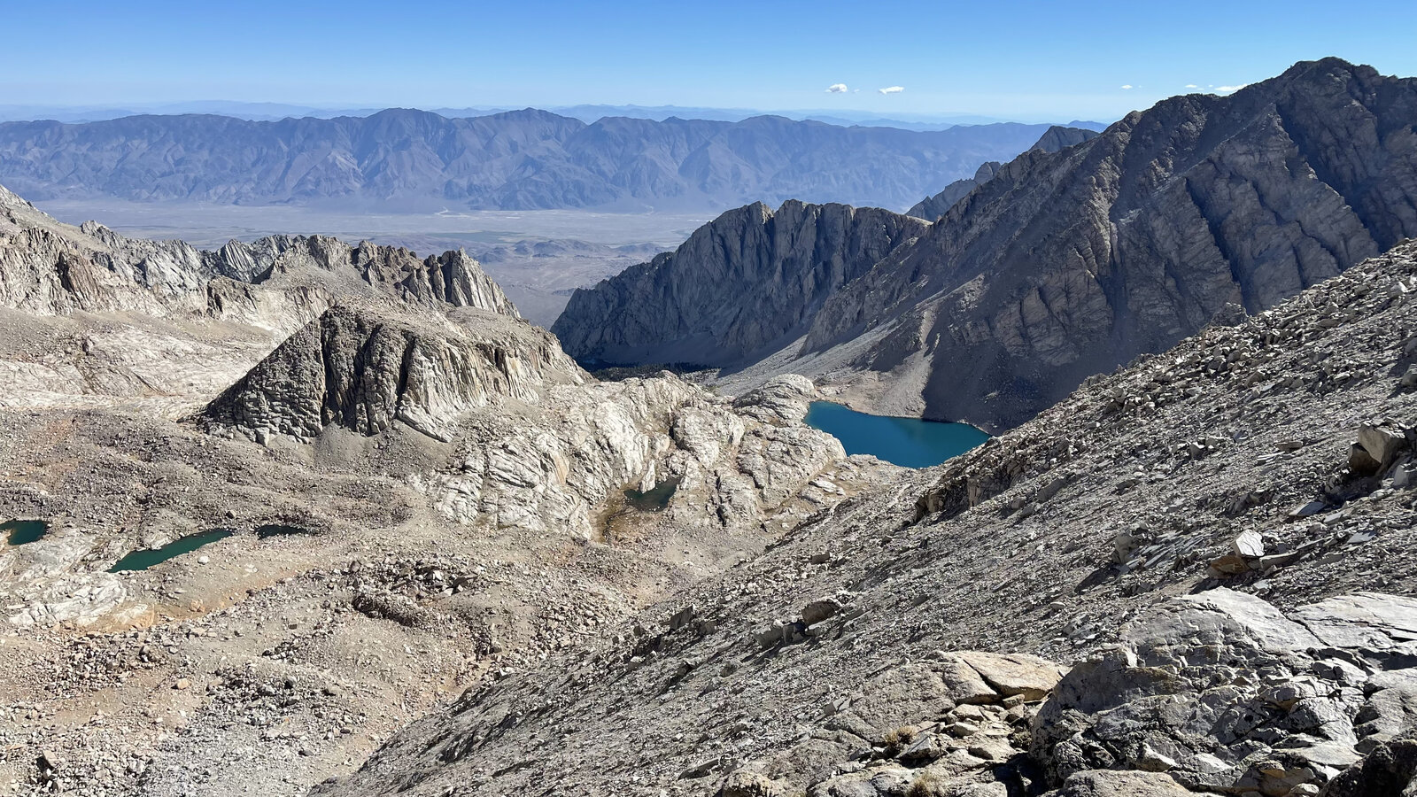
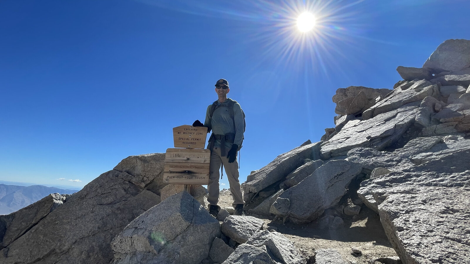
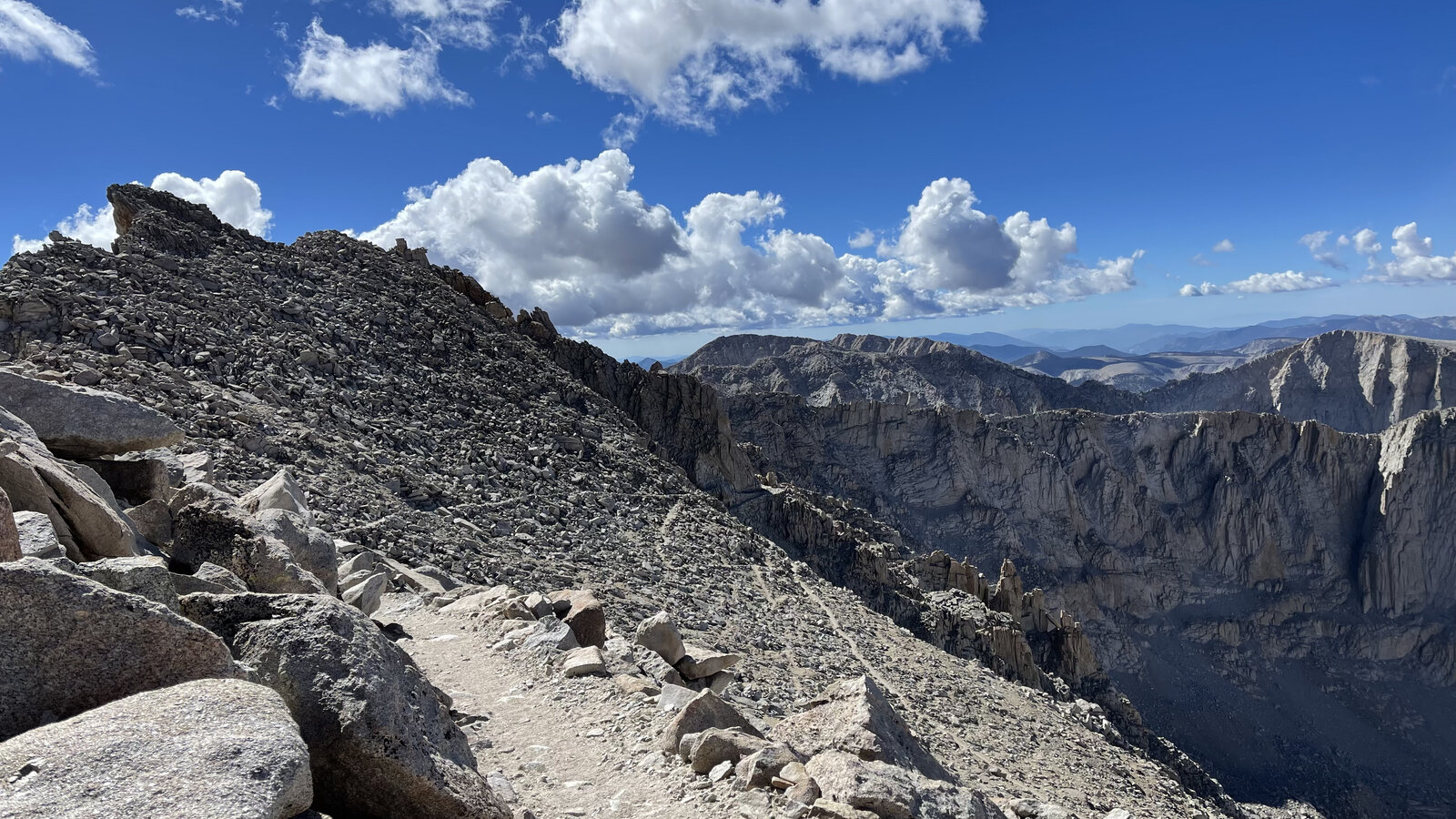
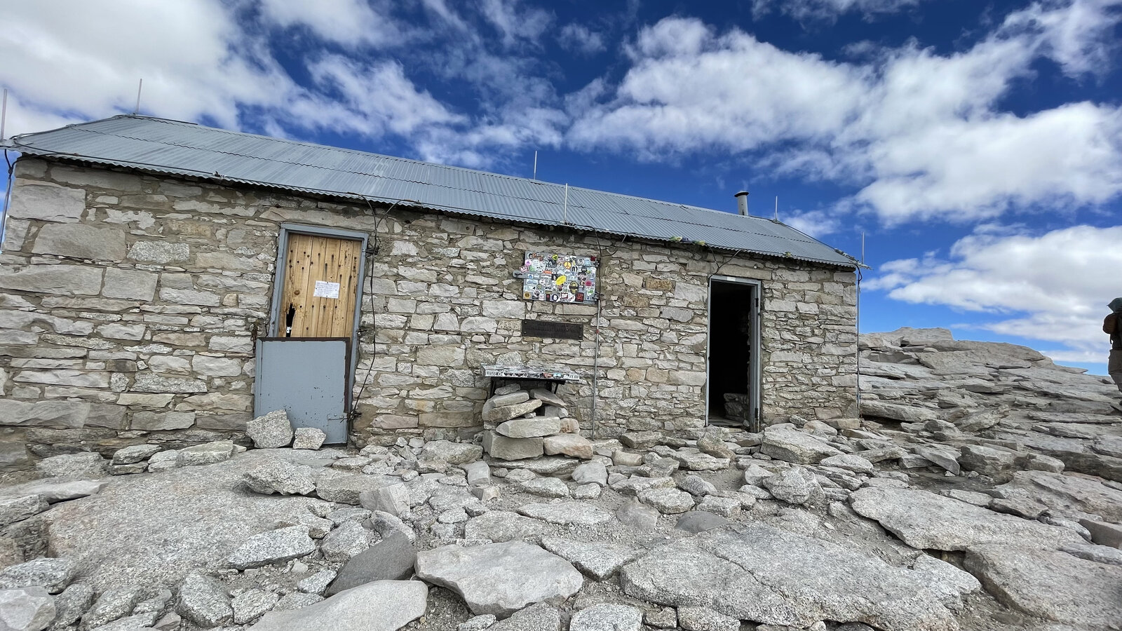
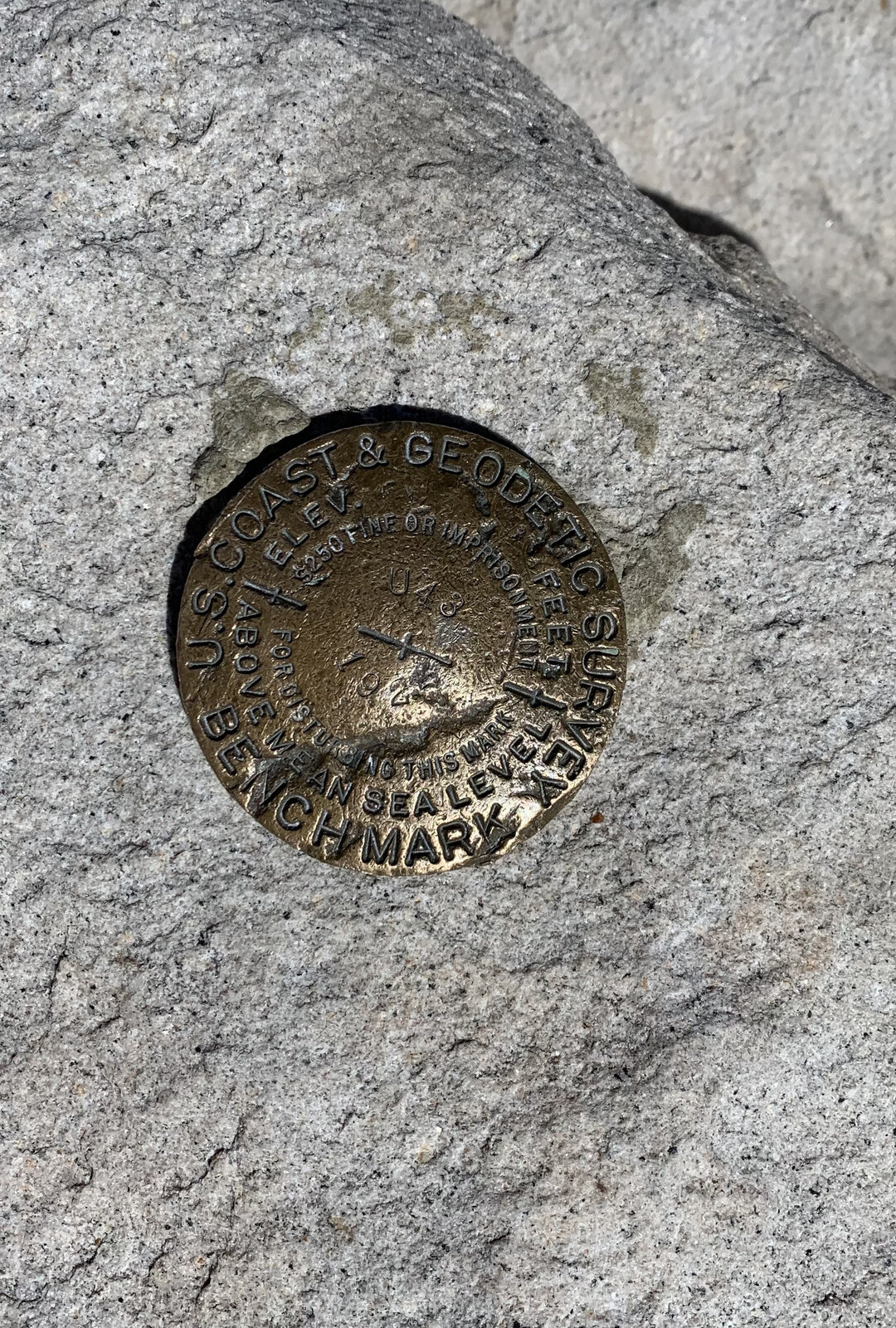
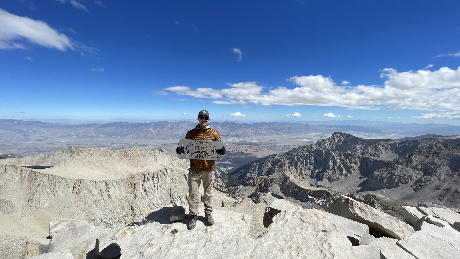
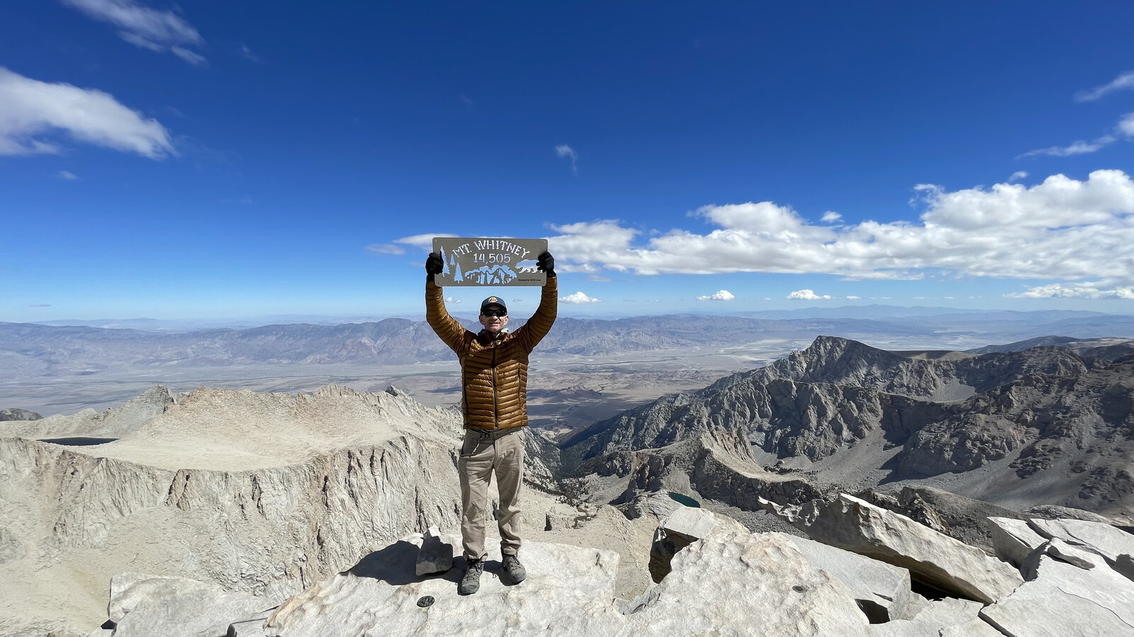
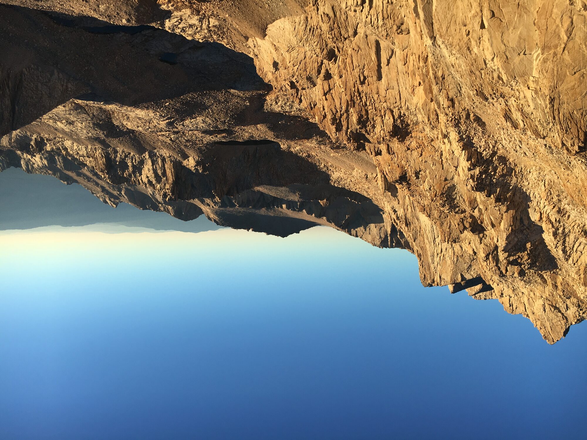
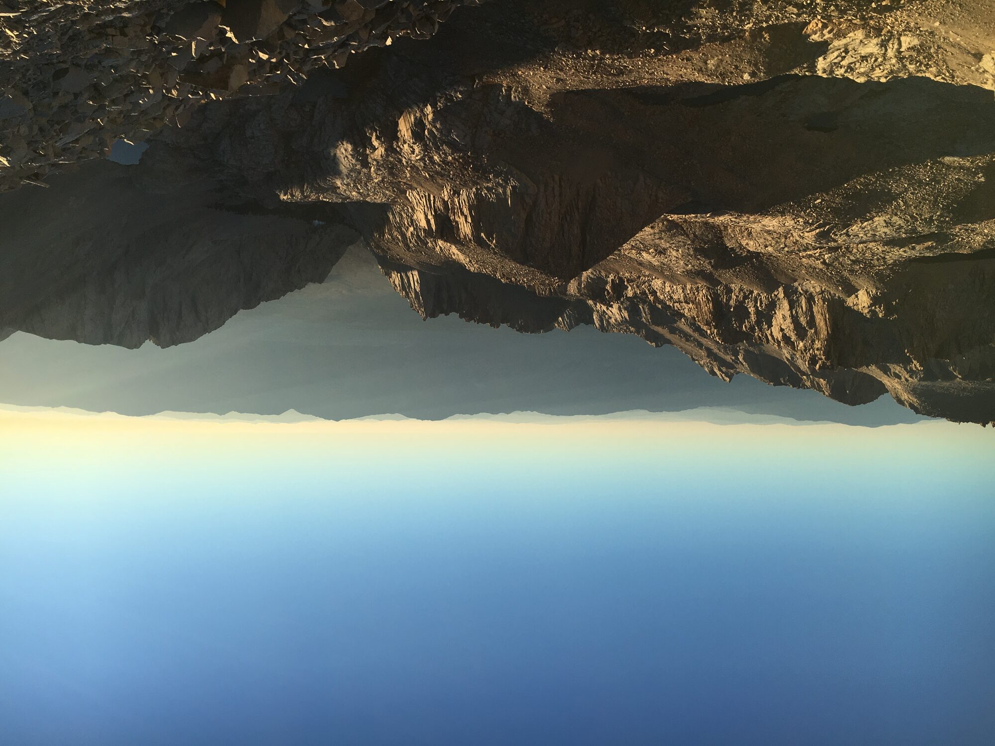
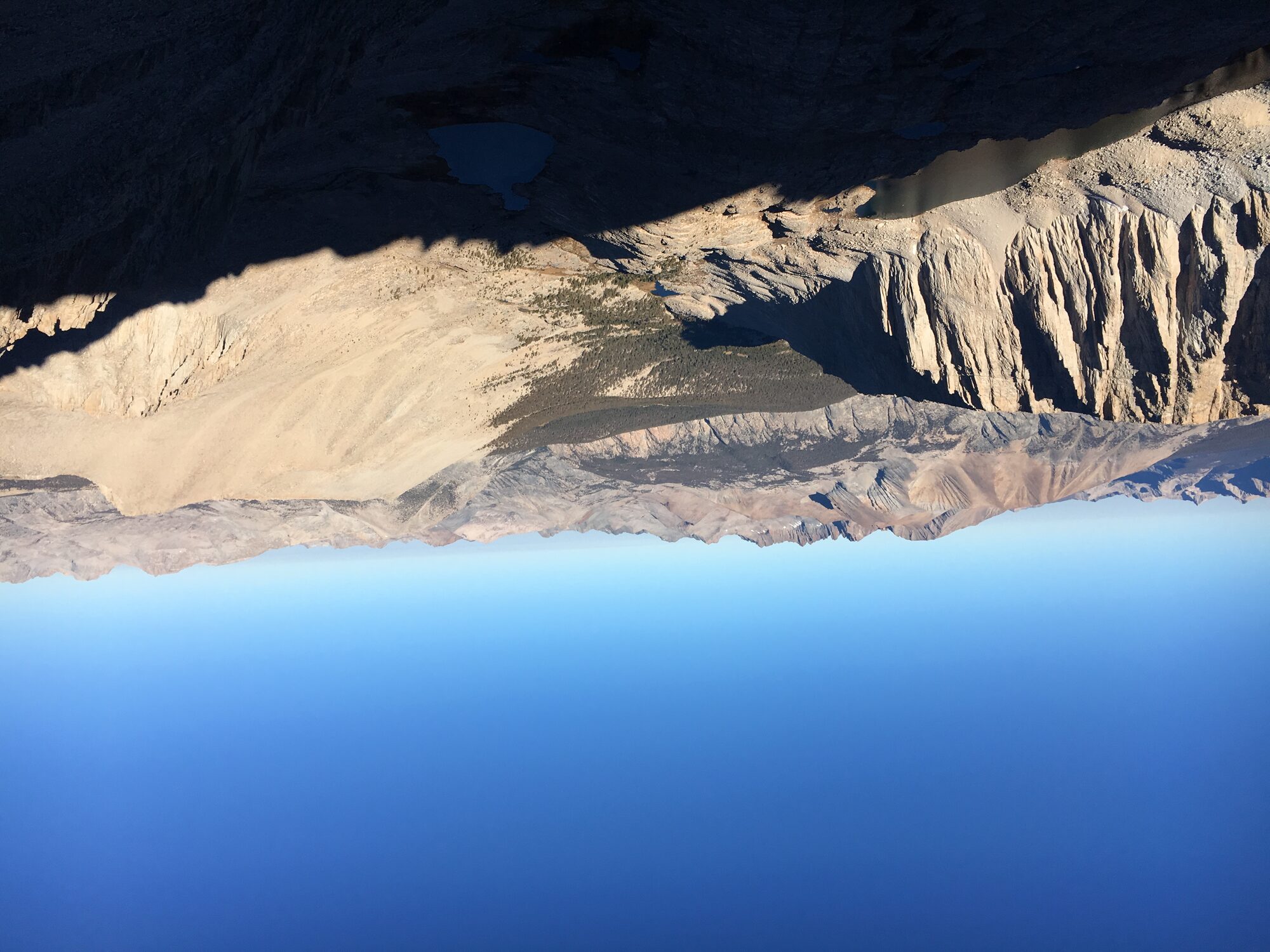
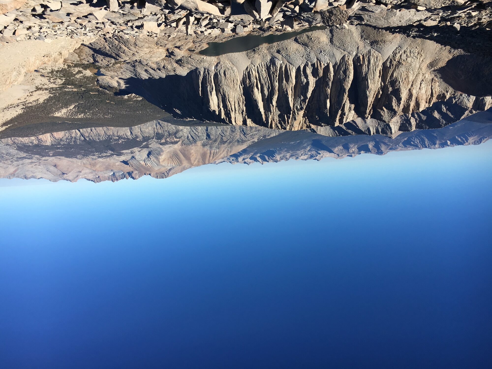
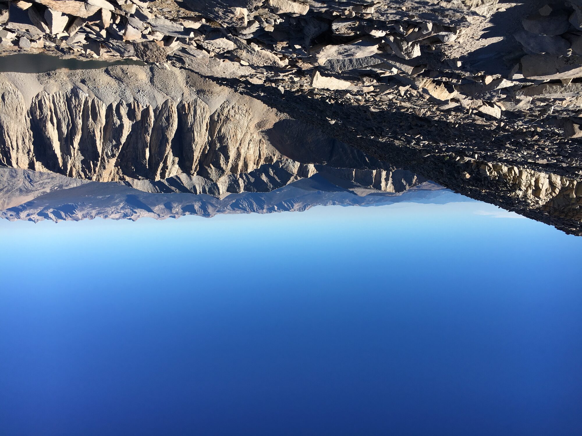
Summit day started fresh from camp instead of from the car, up the switchbacks and along the exposed ridge past Trail Crest, with sweeping views back down toward the string of alpine lakes and the Owens Valley floor thousands of feet below. The summit itself hadn't changed — the old stone Smithsonian hut, the battered benchmark disk, the same sign to hold up for a photo — but reaching it well-rested after a full night's sleep at Trail Camp made for a completely different, far more enjoyable version of the same mountain.
Doing Whitney as an overnight instead of a single push turned out to be the better call by a wide margin — same trail, same 6,100 feet of gain, but a much more relaxed and genuinely enjoyable couple of days on the mountain instead of a sixteen-hour grind through the night.
First Ascent — September 27, 2016
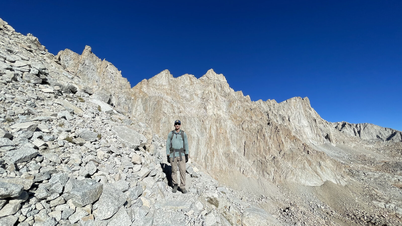
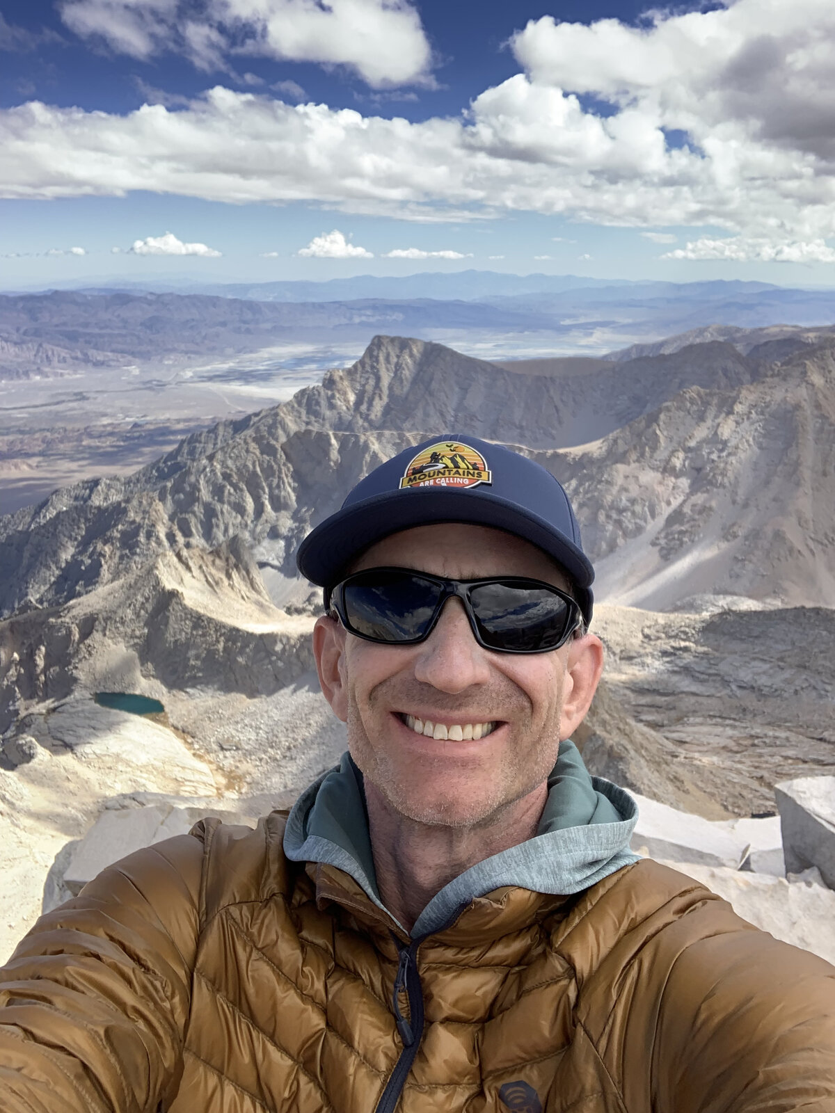
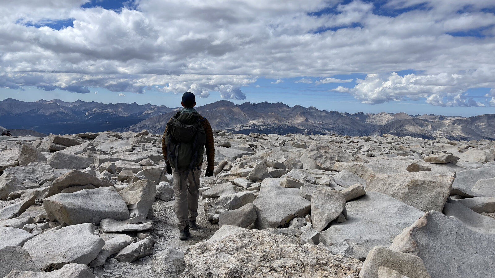
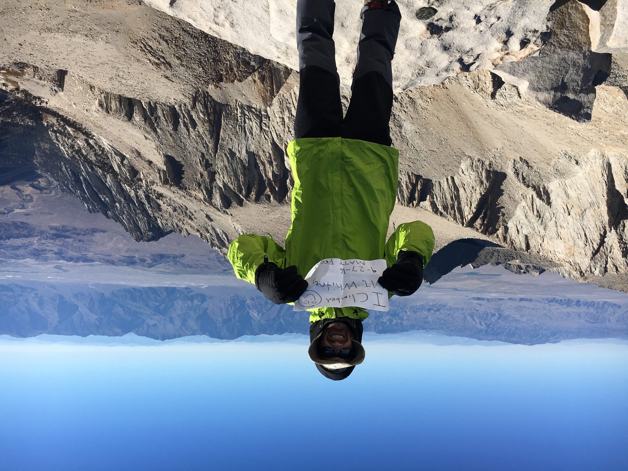
I was new to hiking when I decided to take on Mount Whitney in a day, and I knew it would be hard — I just didn't know how hard. I'd done some training beforehand and felt good going in, but summit day humbled me fast. I started from the trailhead at 11:00 PM, hiking through the night by headlamp on my own, and didn't get back to the car until 3:30 the next afternoon — about sixteen and a half hours on the trail.
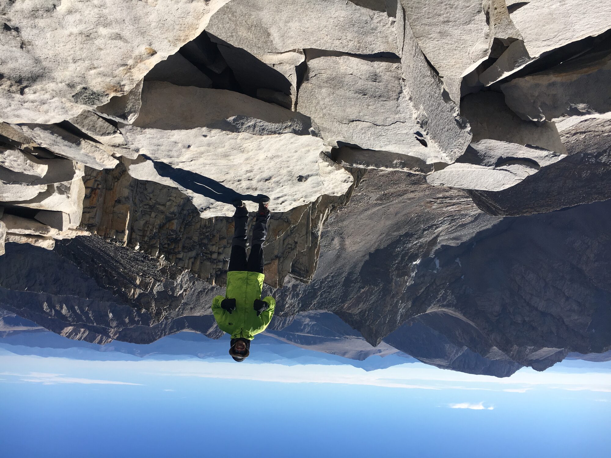
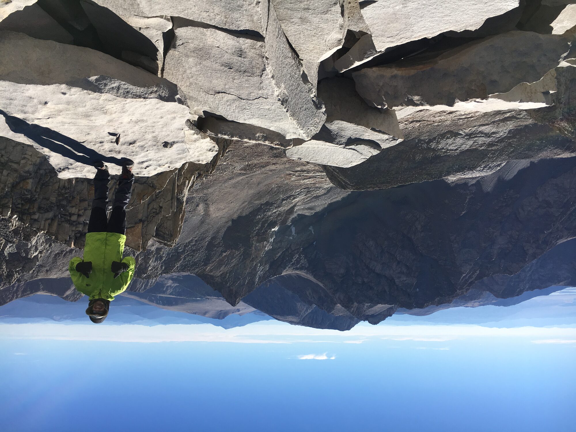
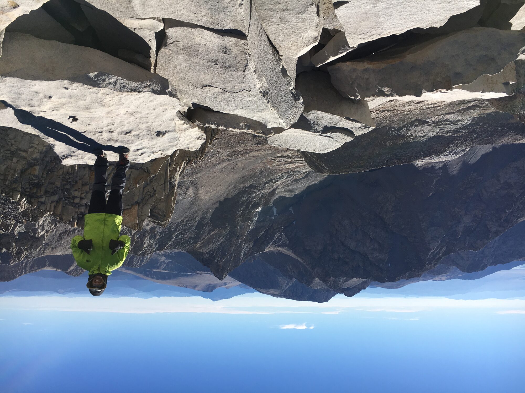
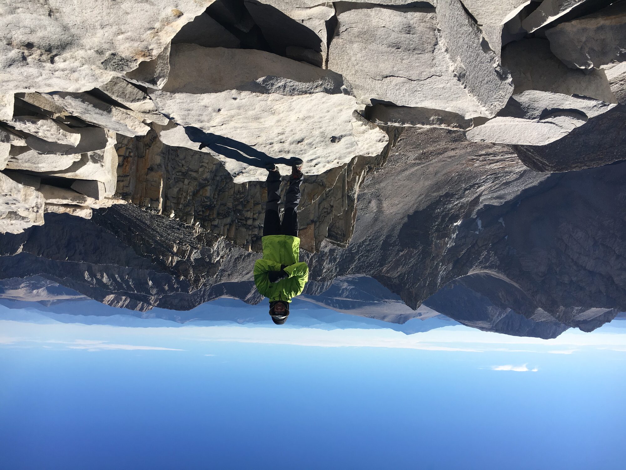
The famous 99 switchbacks above Trail Camp weren't as bad as I'd been warned — steady, but manageable. It was the ridge after Trail Crest that actually broke me down; I had to stop and catch my breath more times than I could count before finally reaching the summit. When I got there, the exhaustion didn't matter. I was just excited I'd made it.
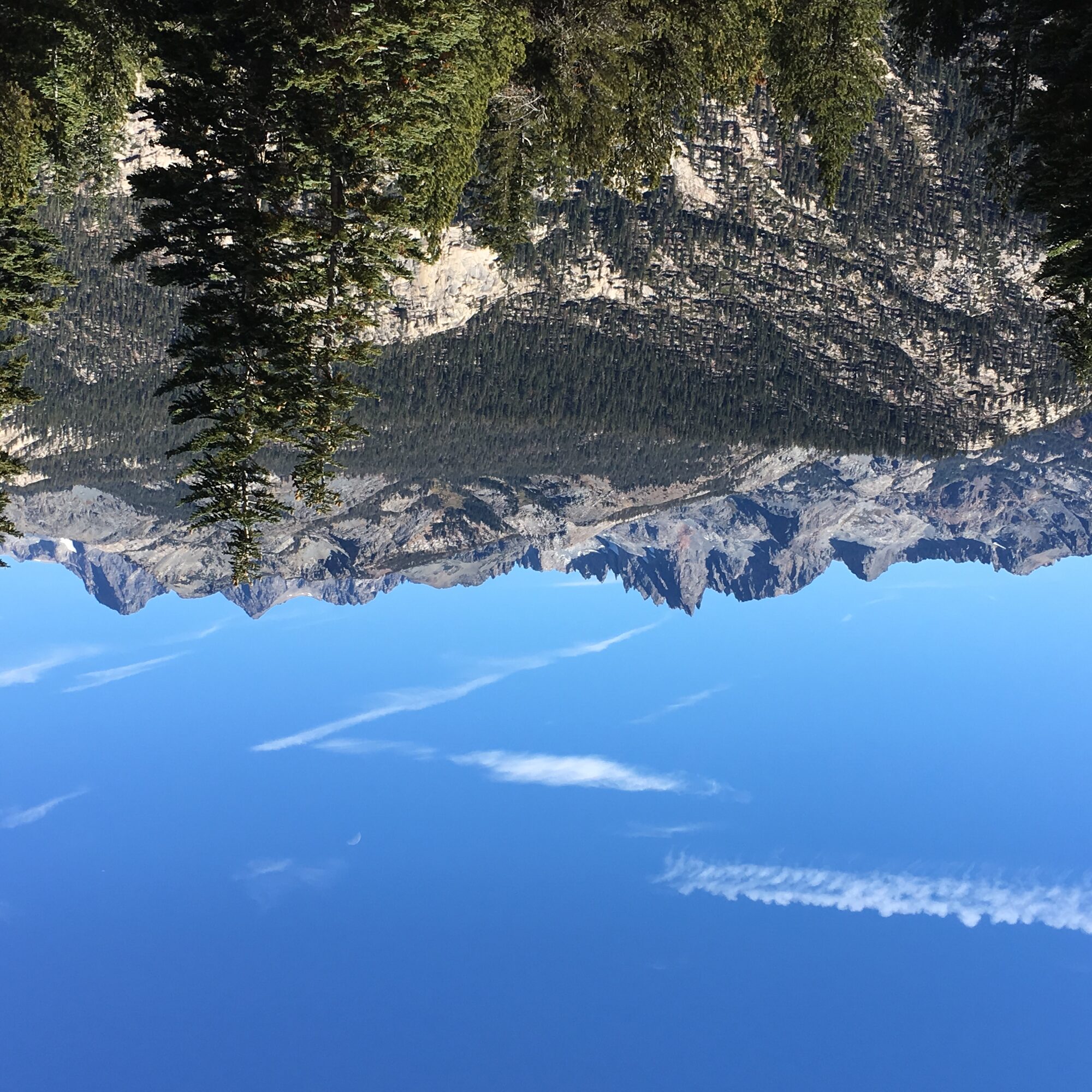
The Minarets
September 23, 2016 — acclimatization hike, not summit day
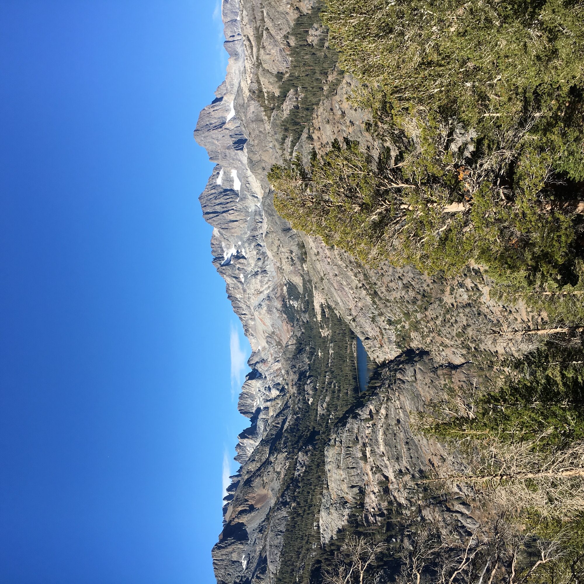
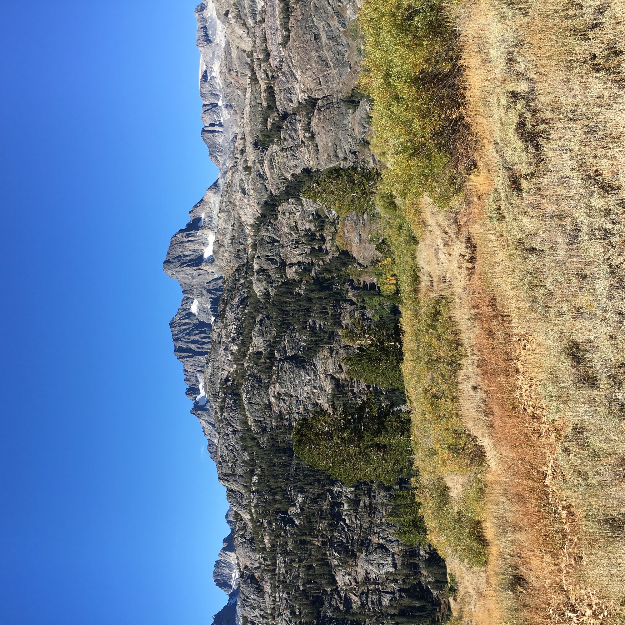
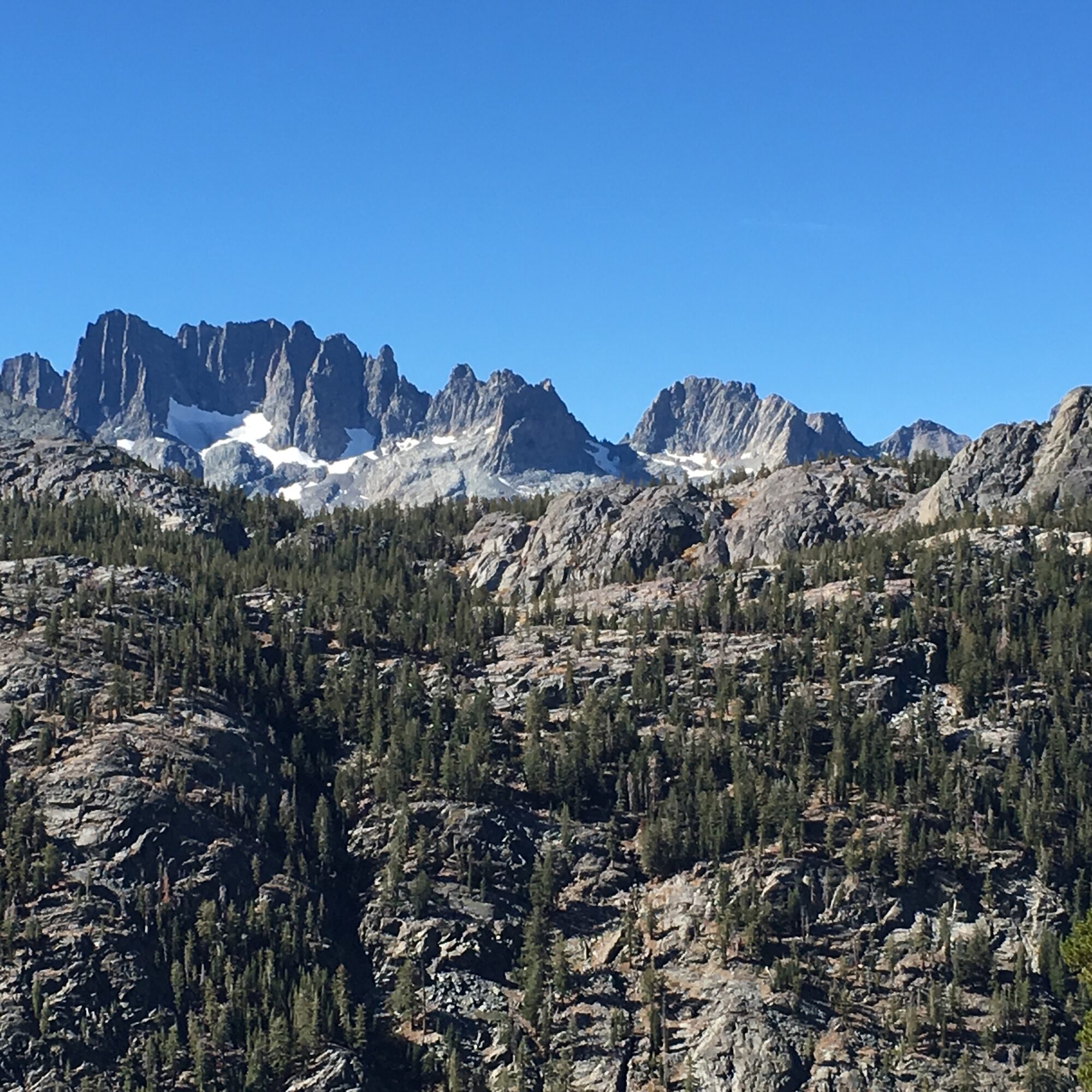
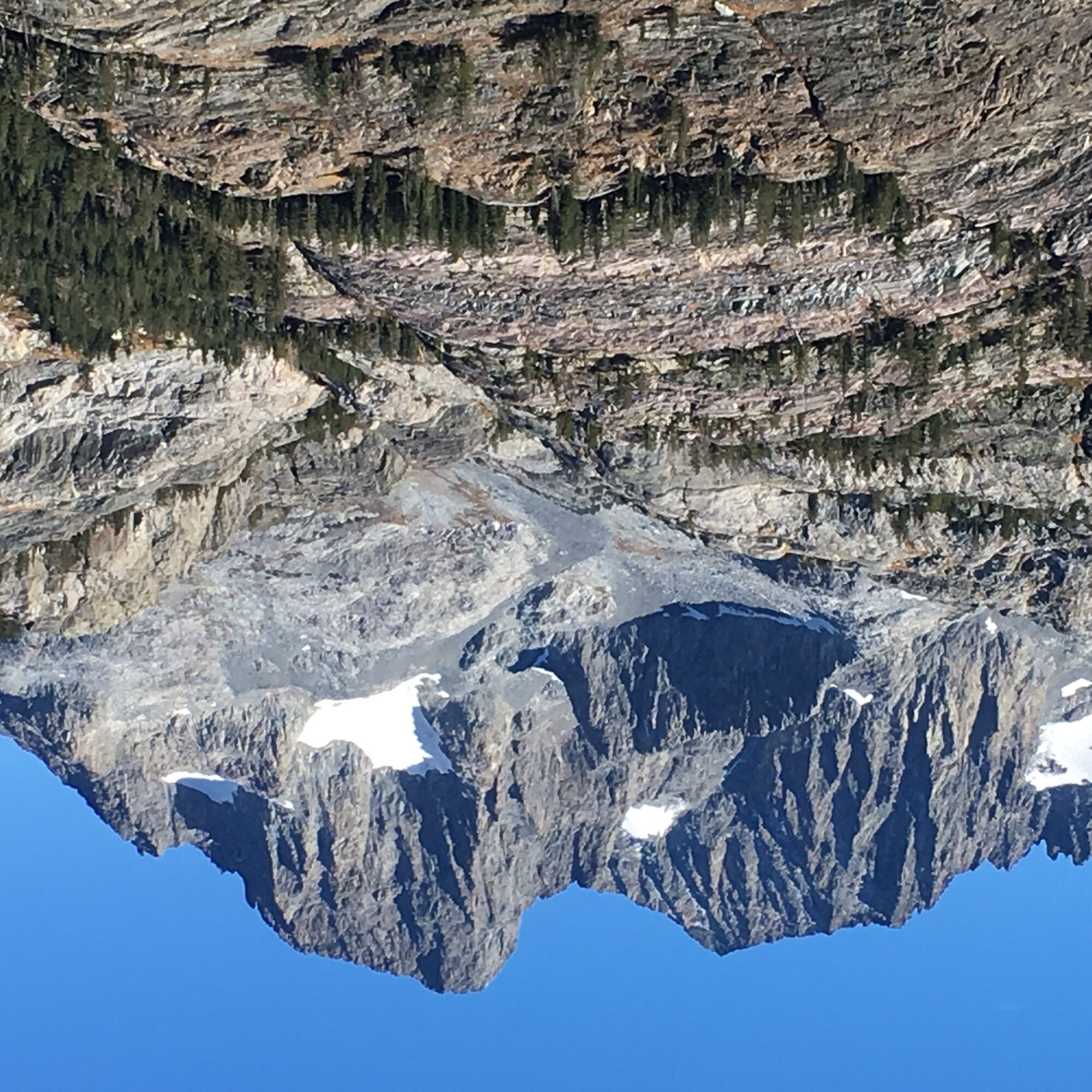
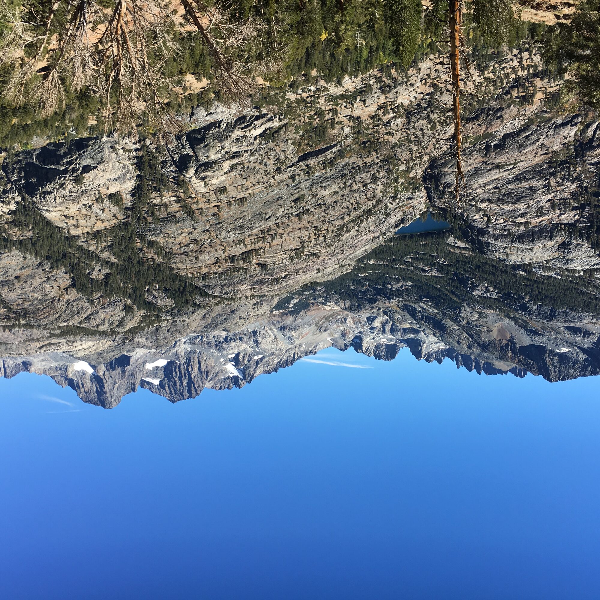
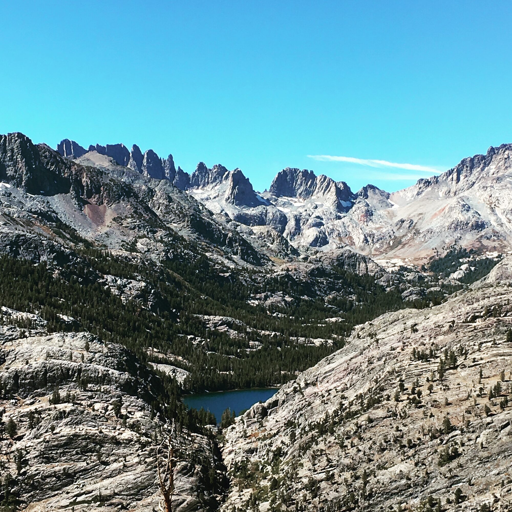
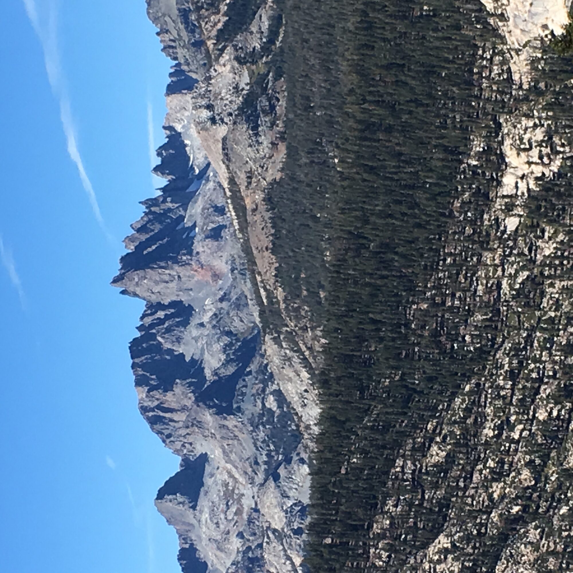
Two days before Whitney, I drove up toward Mammoth Lakes for an acclimatization hike with a view worth the trip on its own — the Minarets. It's hard to describe that ridgeline without sounding like you're exaggerating: a wall of jagged granite spires lined up like teeth, with Mount Ritter and Banner Peak's permanent snowfield sitting just beside them.
Aspens were turning gold lower on the trail, which made the contrast with the bare granite above even sharper. A good, easy day, and a nice reminder of why I keep coming back to the Eastern Sierra.
Toms Place — Little Lakes Valley
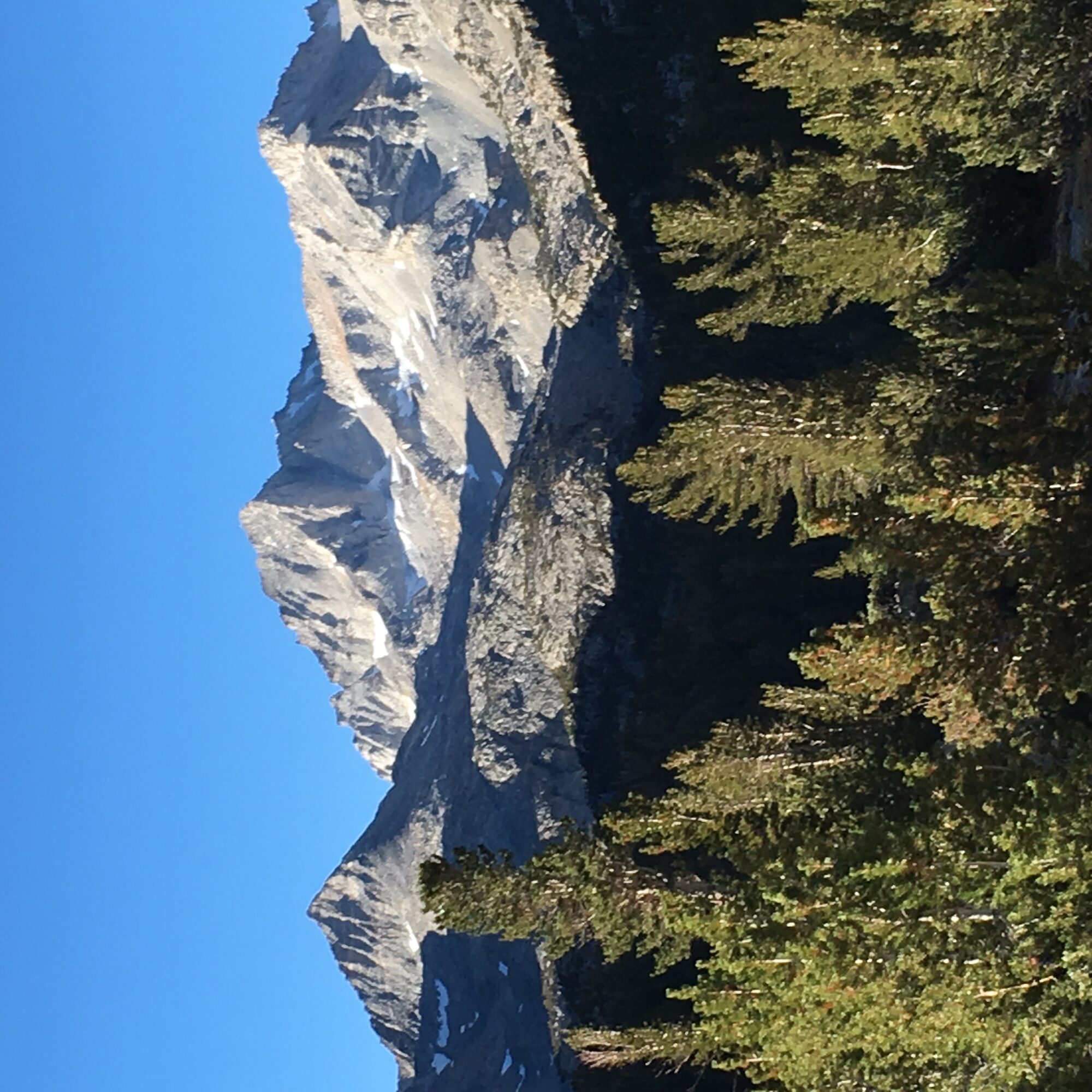
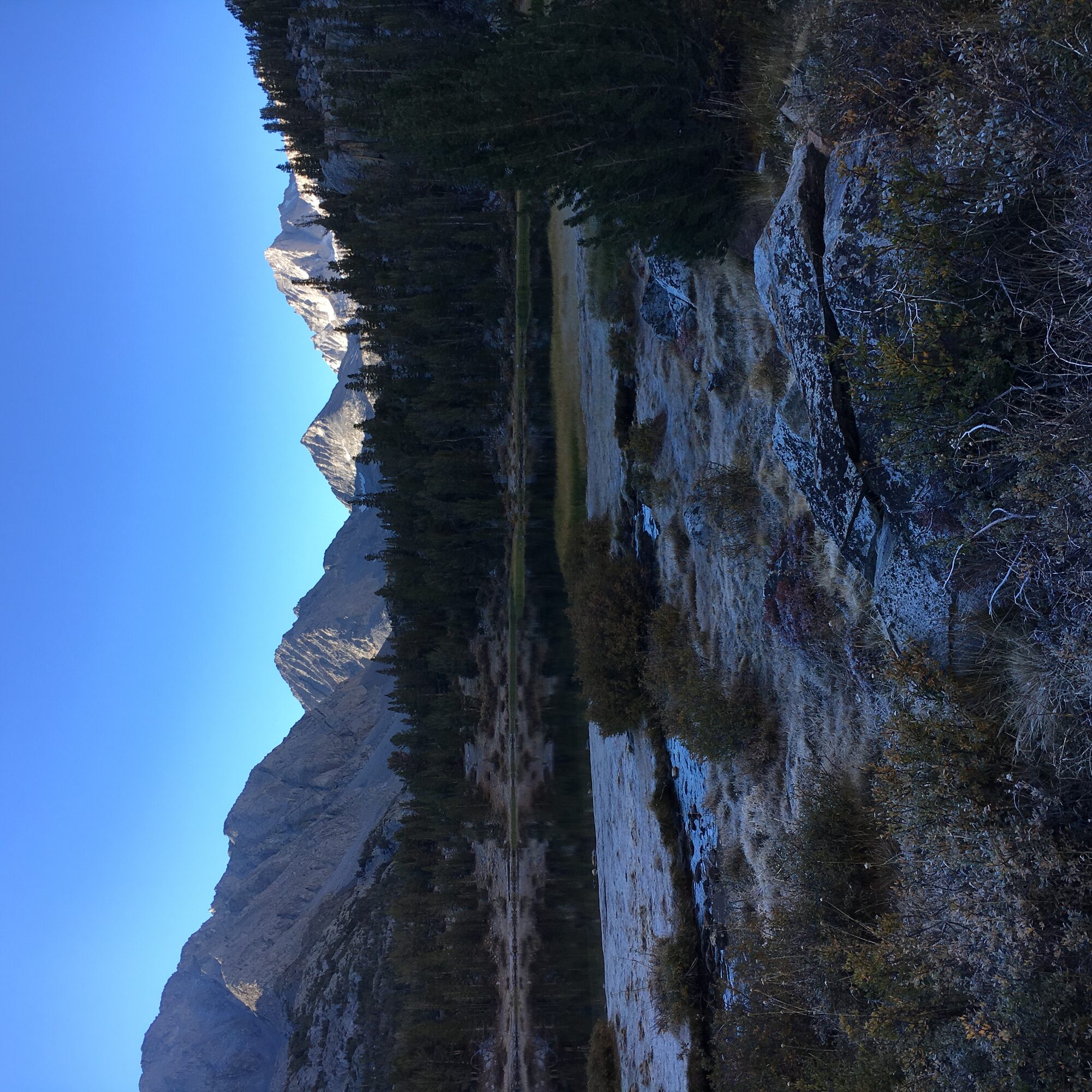
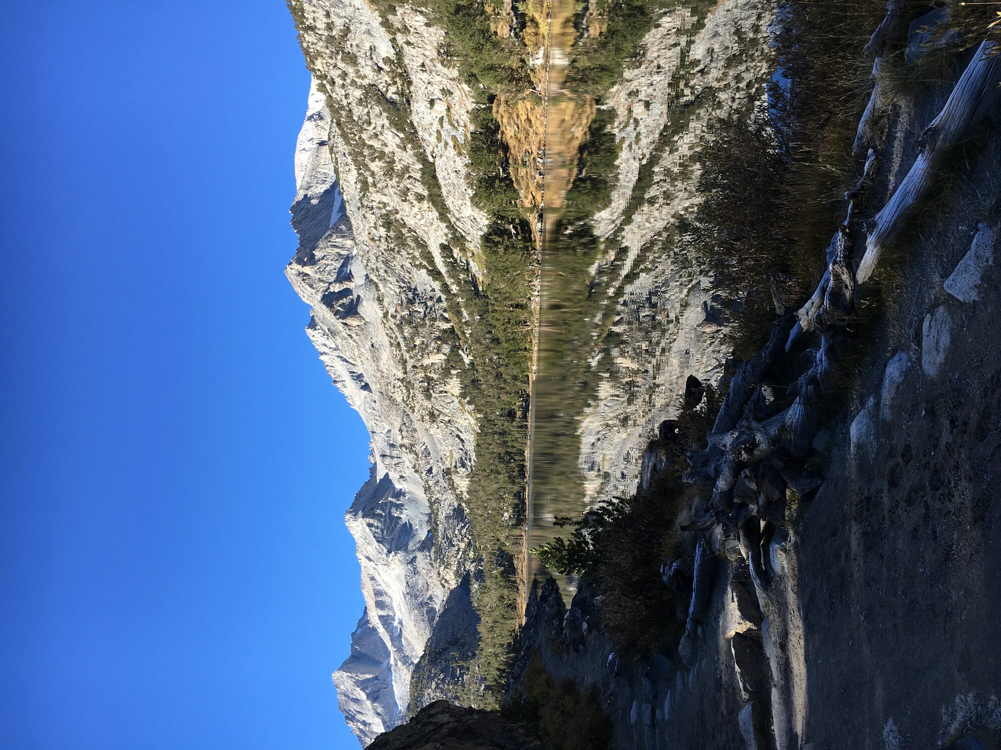
September 24, 2016 — acclimatization hike, not summit day
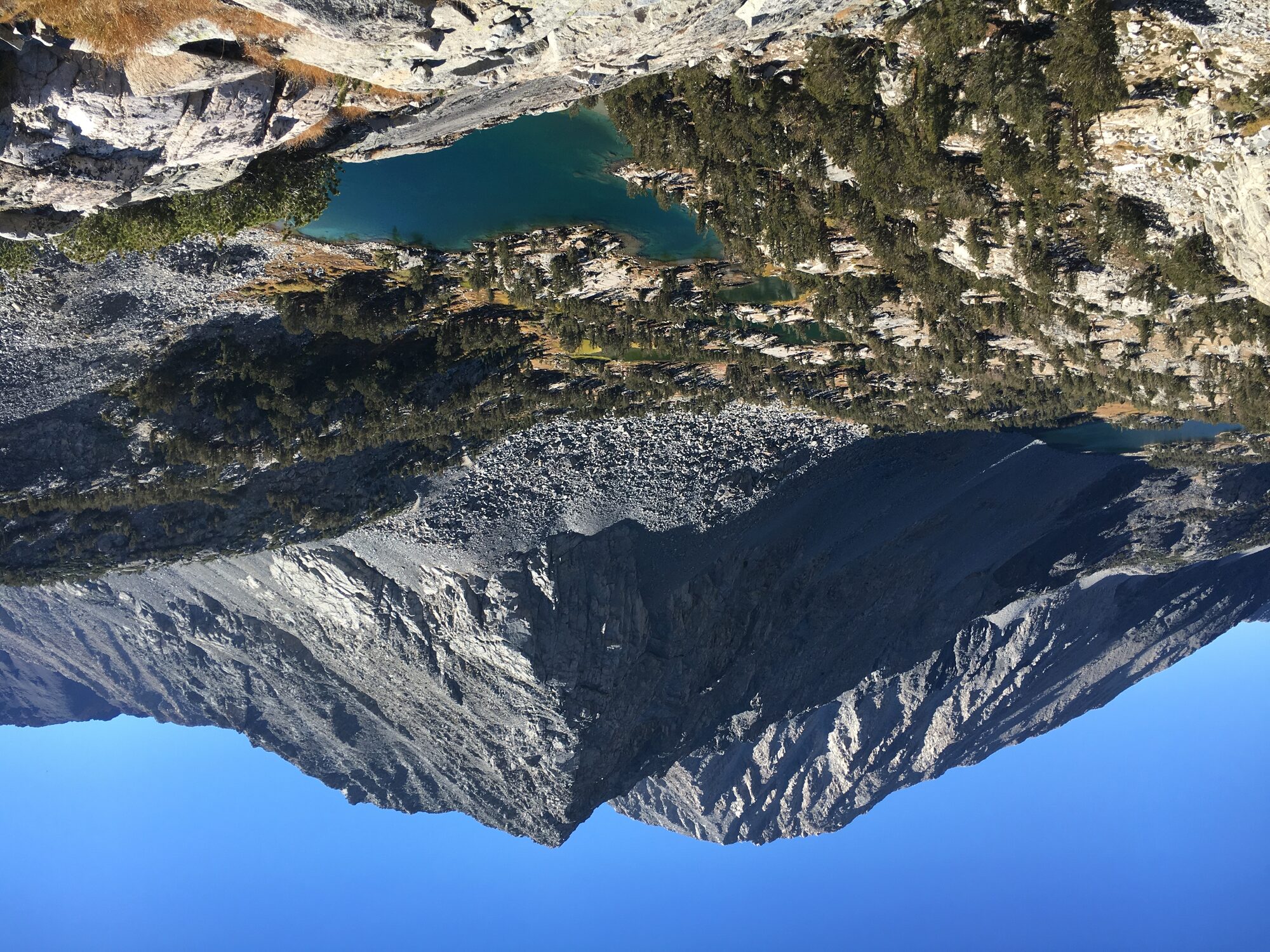
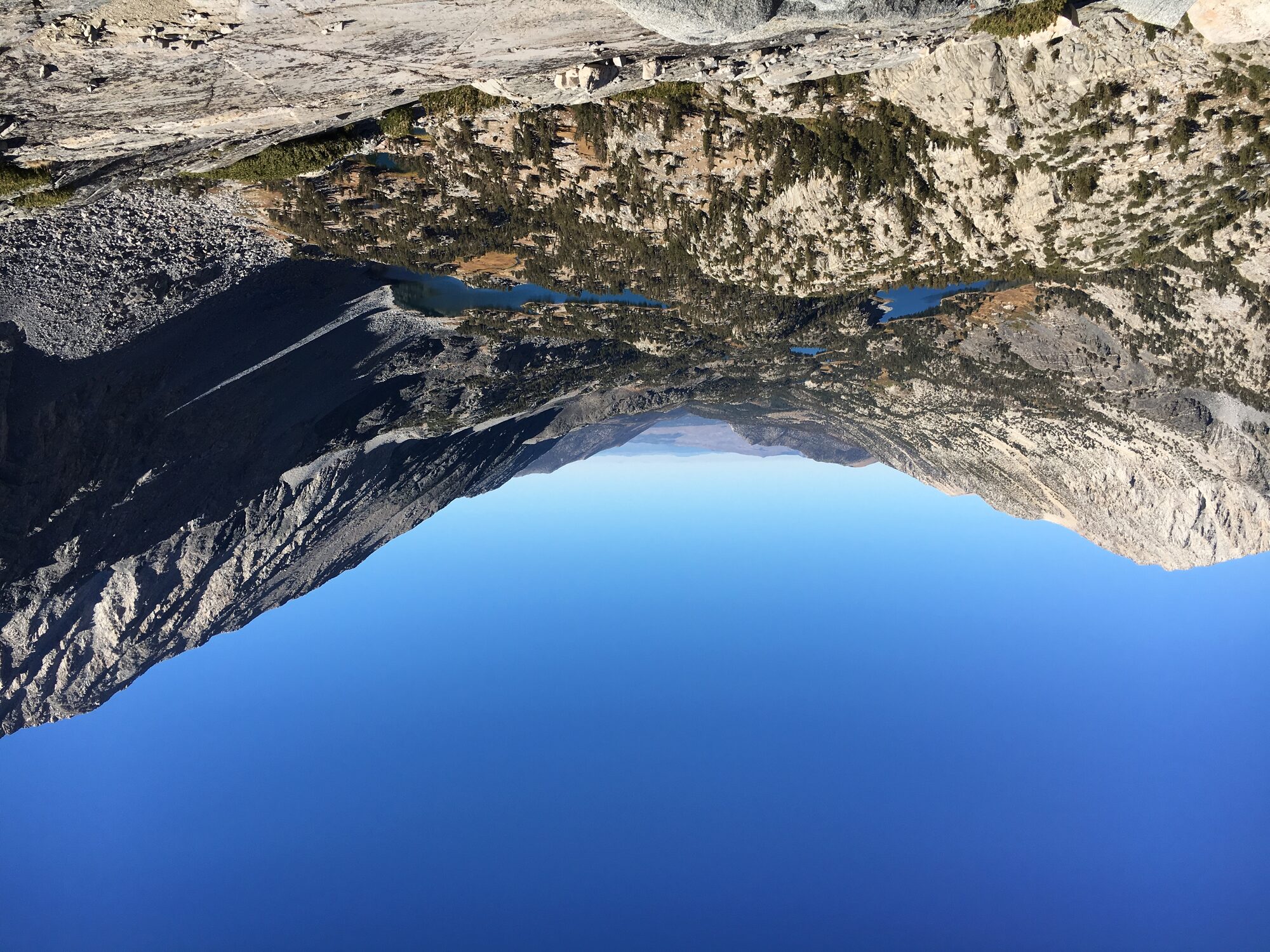
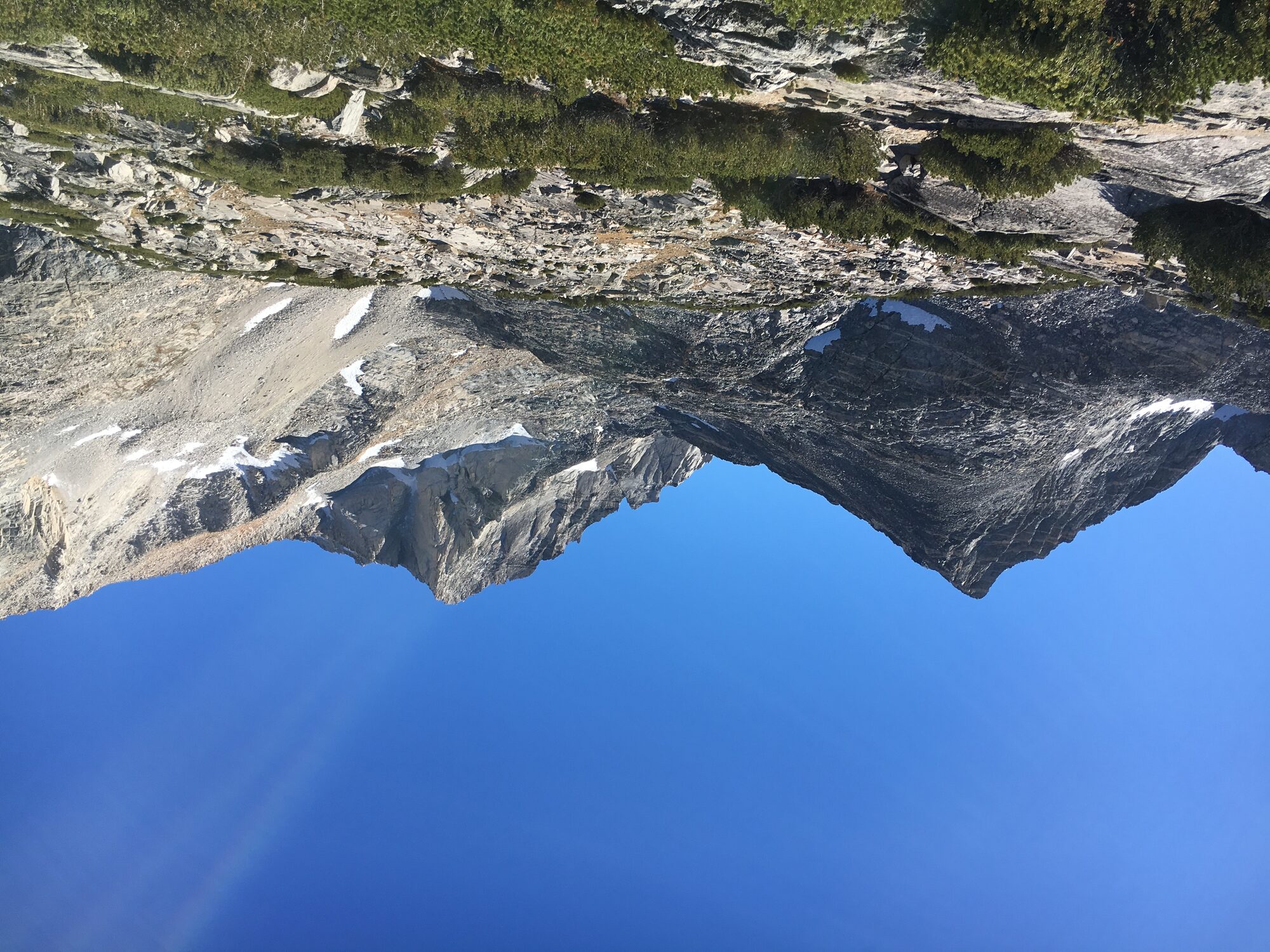
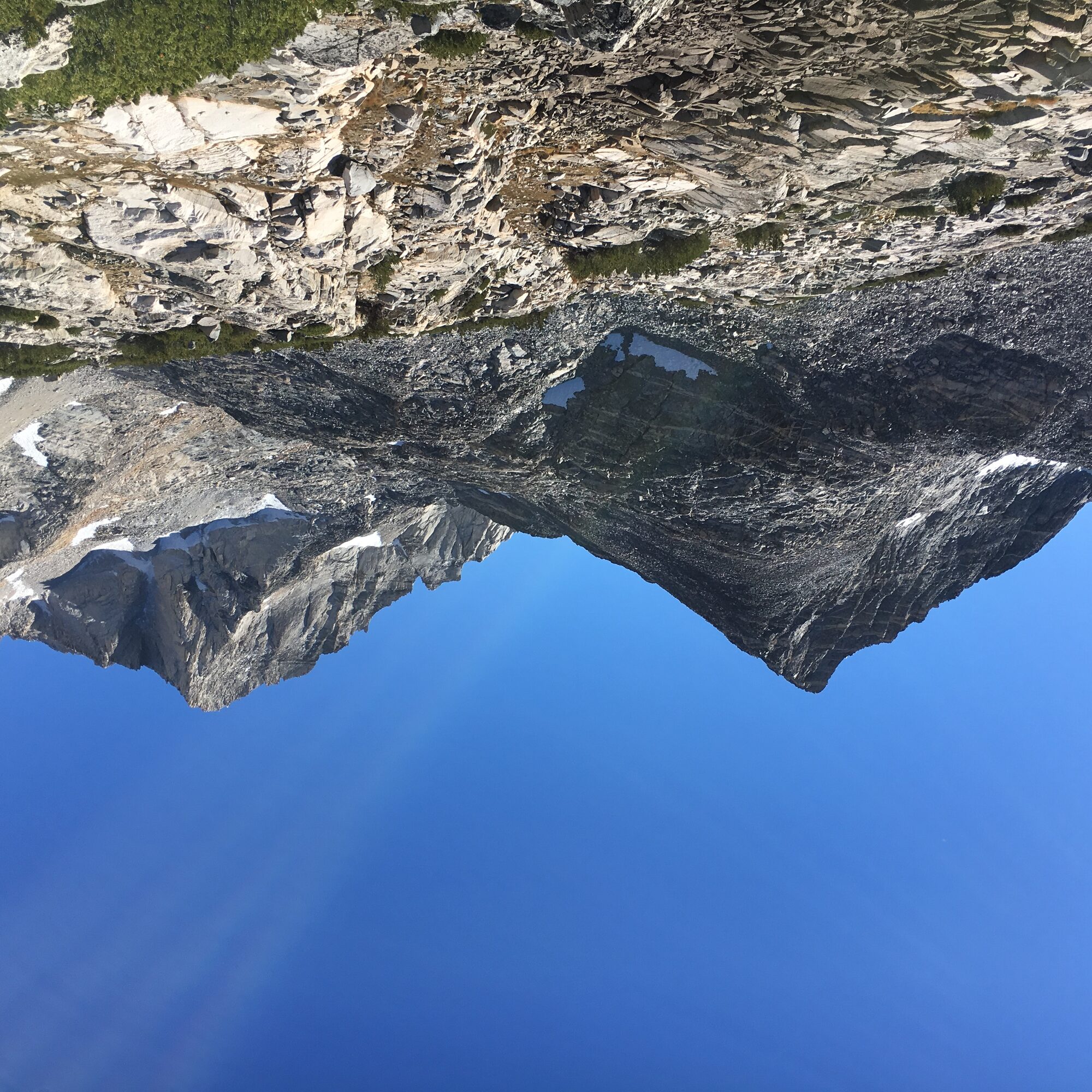
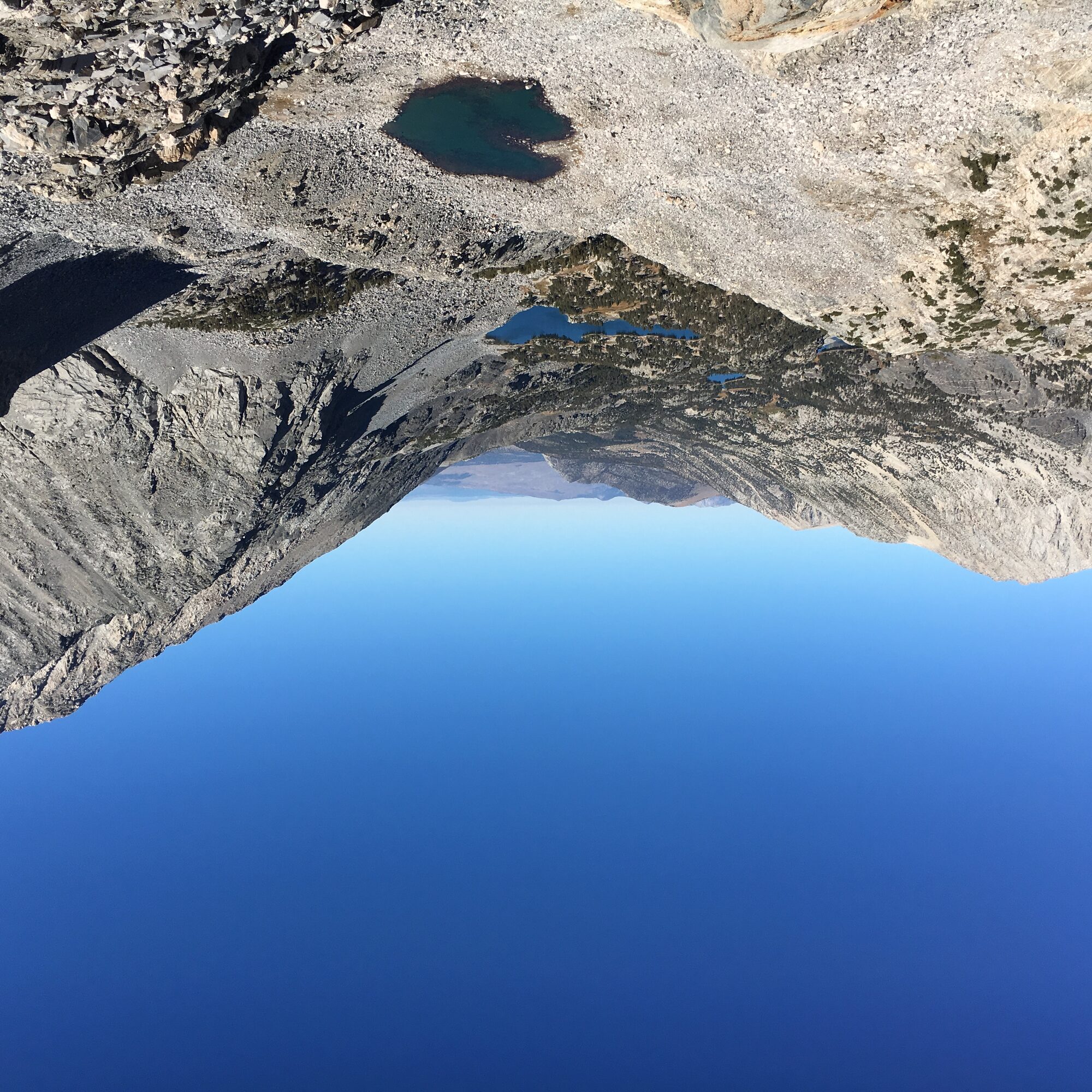
The next day I drove down to Rock Creek Canyon and hiked out of Mosquito Flat into Little Lakes Valley — one of the most scenic stretches of trail I'd been on. The trail passes Long Lake, glass-still and reflecting Bear Creek Spire, then climbs to an overlook above the Gem Lakes, an almost unreal turquoise tucked beneath Mt. Dade and Mt. Abbot.
Another good acclimatization day, and in hindsight, one more set of miles on legs that were about to get a lot more work three days later.
The Day Before
September 26, 2016 — a walk to Lone Pine Lake, not summit day
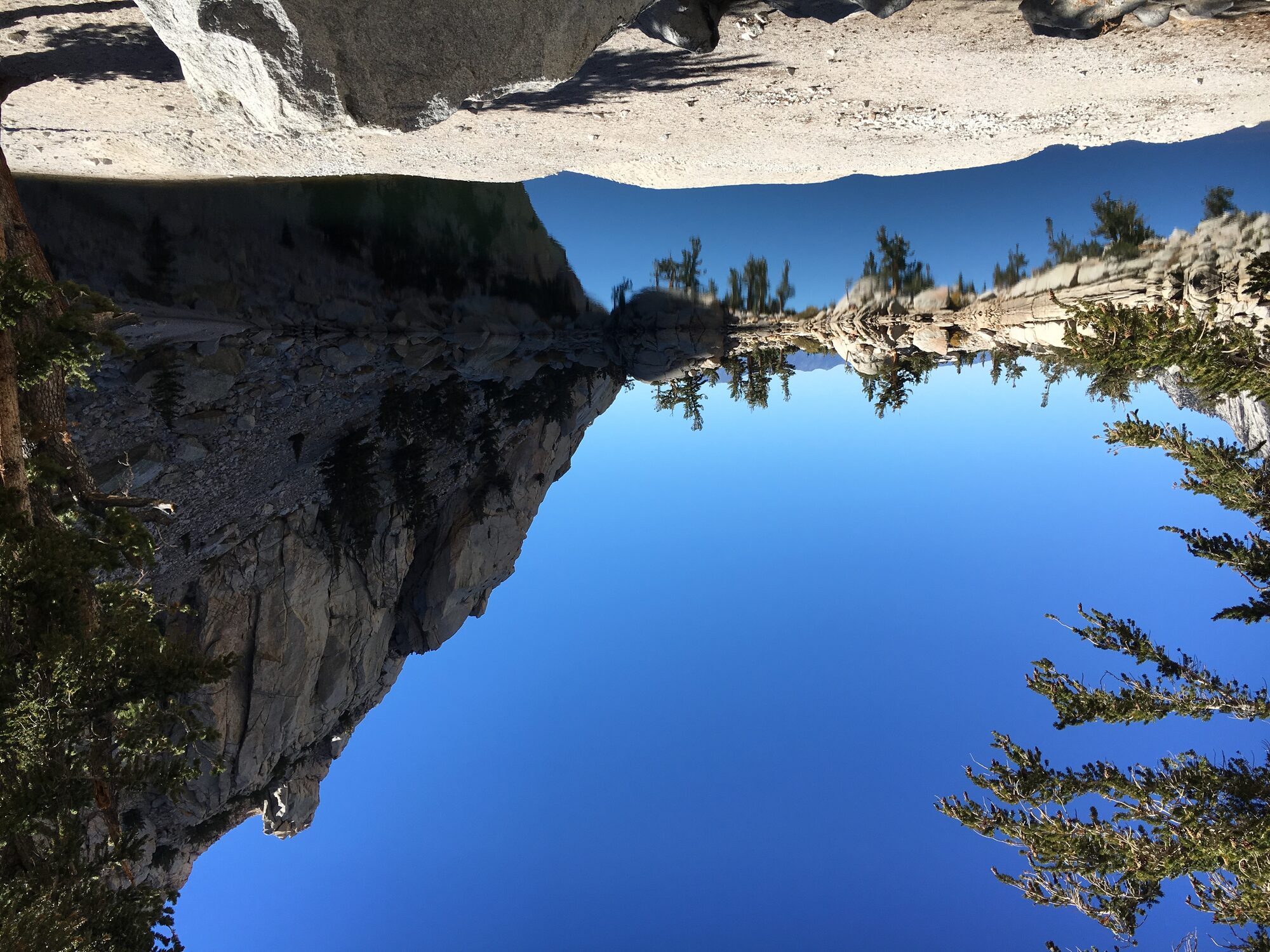
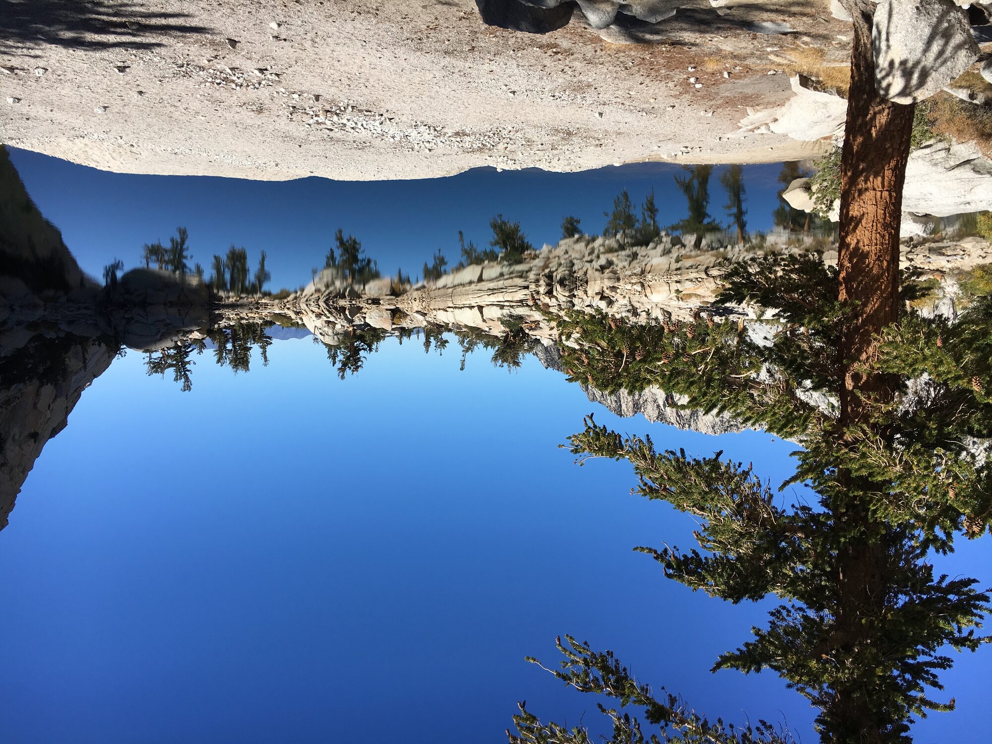
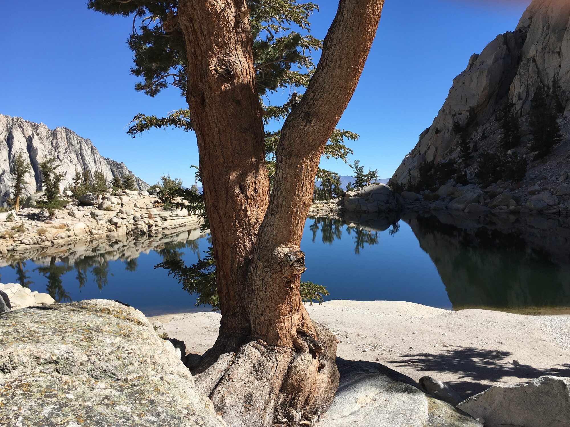
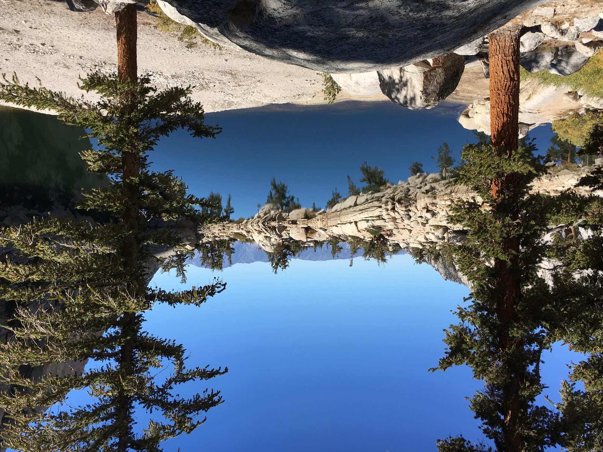
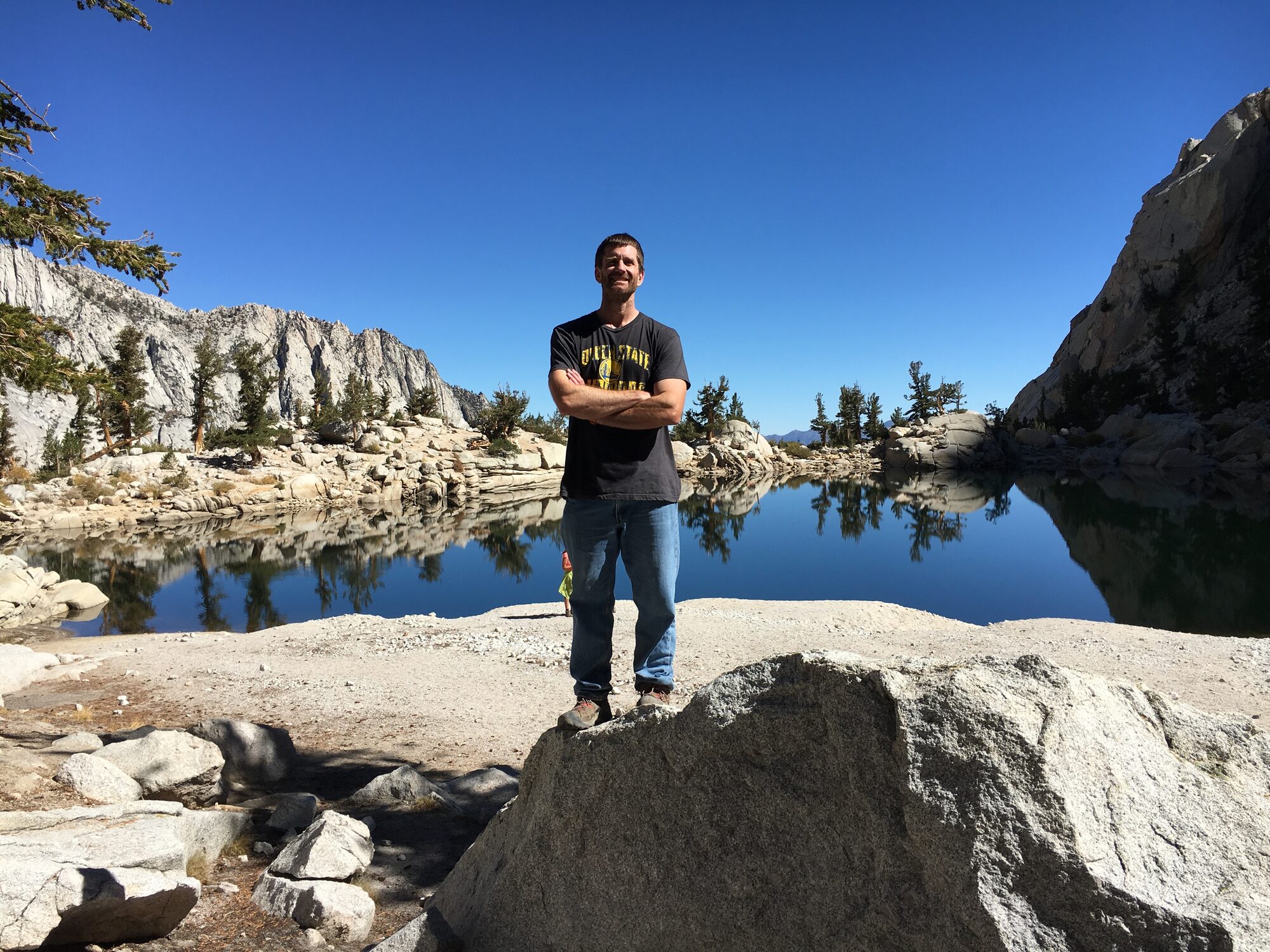
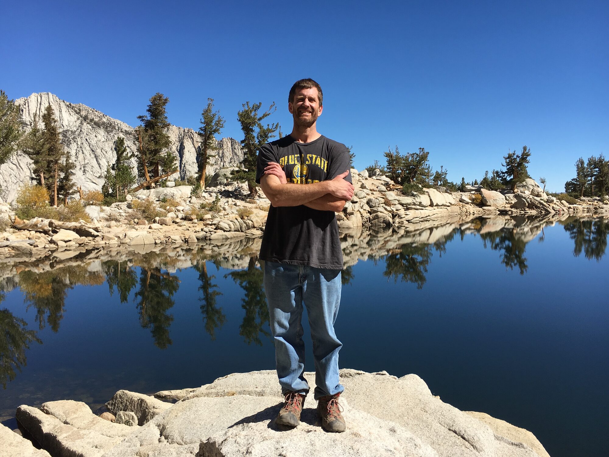
The day before the actual climb, I hiked in partway on the trail to stretch my legs and get a feel for the terrain — out to Lone Pine Lake, water like glass, with granite peaks stacked up behind it. It was an easy, beautiful few hours and exactly the kind of scenery that makes the Eastern Sierra worth the drive.
Looking back, it was more hiking than I should have done less than a day before attempting 22 miles and 6,100 feet of gain. I don't regret it — the lake alone was worth seeing — but if I did it again, I'd rest my legs the day before instead of putting more miles on them.
Comments