Leavitt Peak
Leavitt Peak is the highest point in the Emigrant Wilderness and the northernmost 11,000-footer in the entire Sierra Nevada, and the trailhead couldn't be more convenient — it starts right at Sonora Pass on Highway 108, where the PCT crosses the road. From there the route just follows the PCT south, so there's no real navigation for most of the day, just a long, steady tour through a landscape that looks nothing like the granite Sierra most people picture.
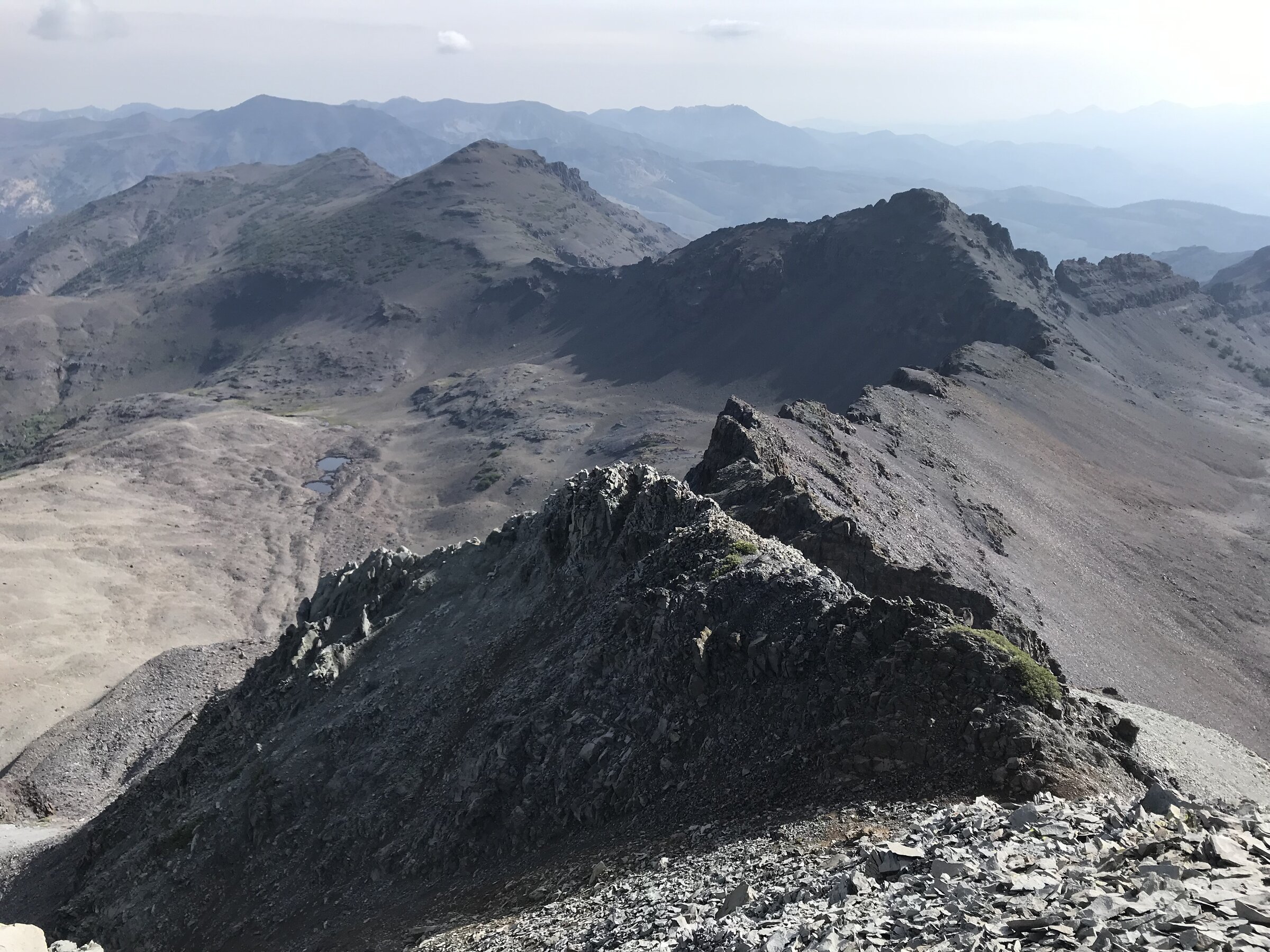
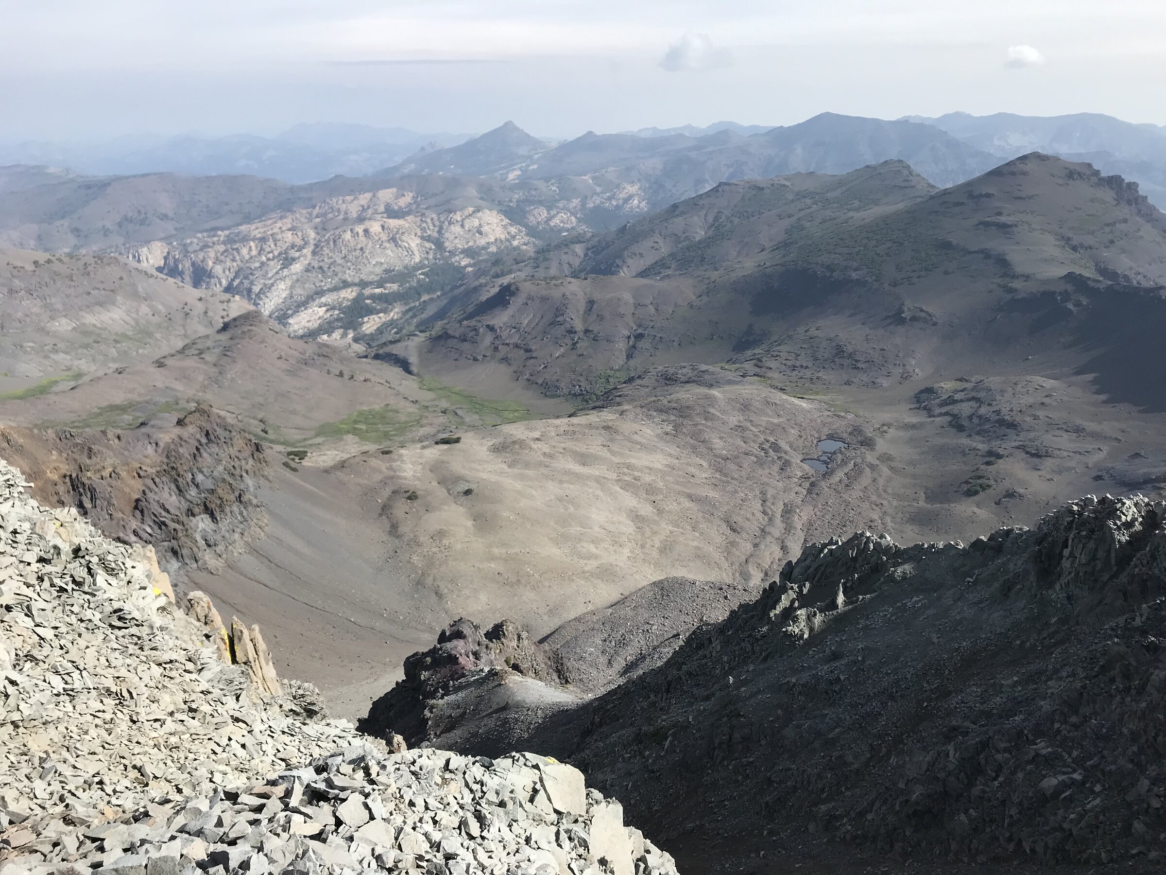
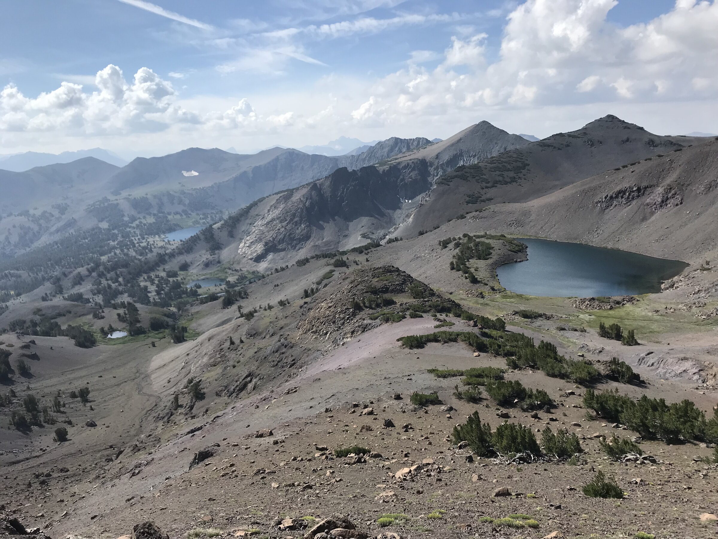
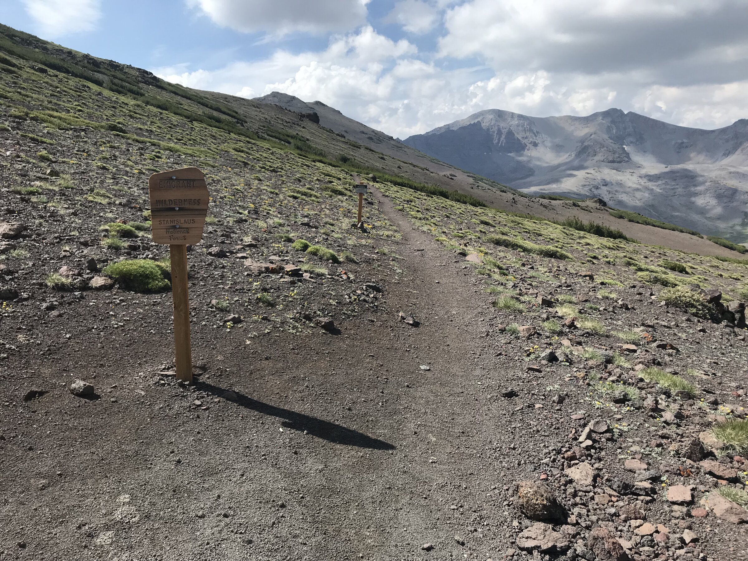
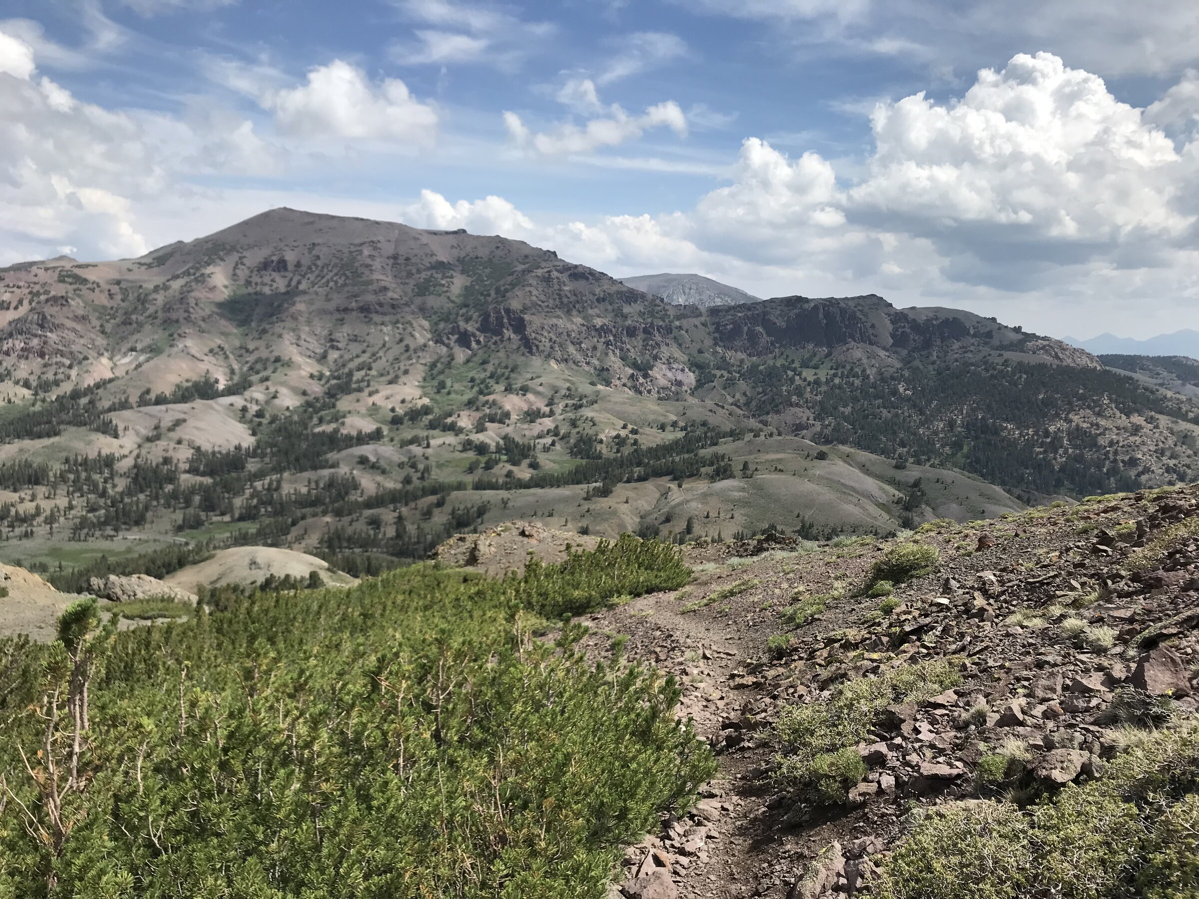
This whole stretch is volcanic rather than granite, and it shows — dark, broken rock, rounded reddish-brown slopes, and none of the sharp white domes you'd see further south. The trail dips in and out of the wilderness boundary, passes a junction marked with an old wooden Emigrant Wilderness sign, and threads past a string of alpine lakes tucked into the folds below the ridge — Latopie Lake, Koenig Lake, and Leavitt Lake all visible at different points along the way, deep blue against all that gray and brown volcanic rock.
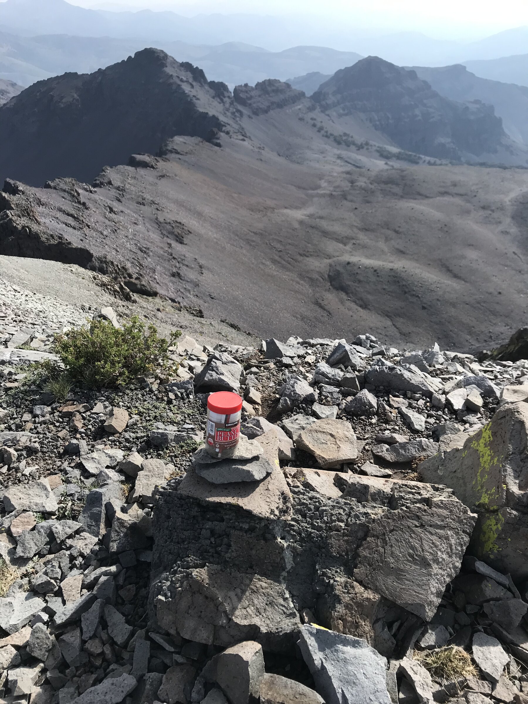
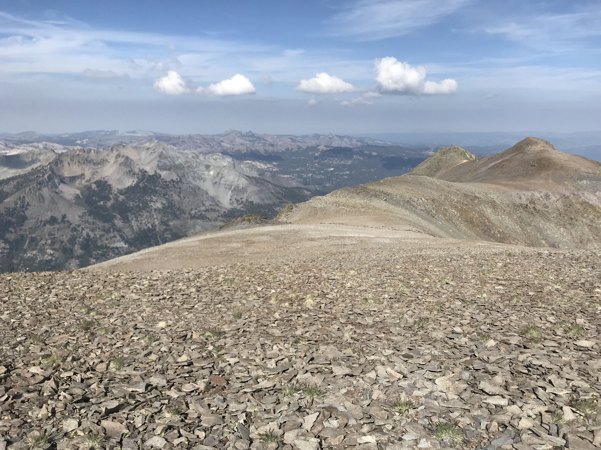
The PCT itself never actually reaches the true summit — you have to leave the trail on a faint use-path that climbs steeply up a dry drainage for the final push. It's not technical, just a straightforward grind up loose talus, and the alpine plants up there are fragile enough that it's worth staying right on the boot-worn line other hikers have used. The summit itself is broad and almost flat, enough that it's genuinely hard to tell exactly where the true high point is, but there's a small summit register wedged into the rocks — in this case, an old plastic peanut butter jar doing the job — to mark the spot.
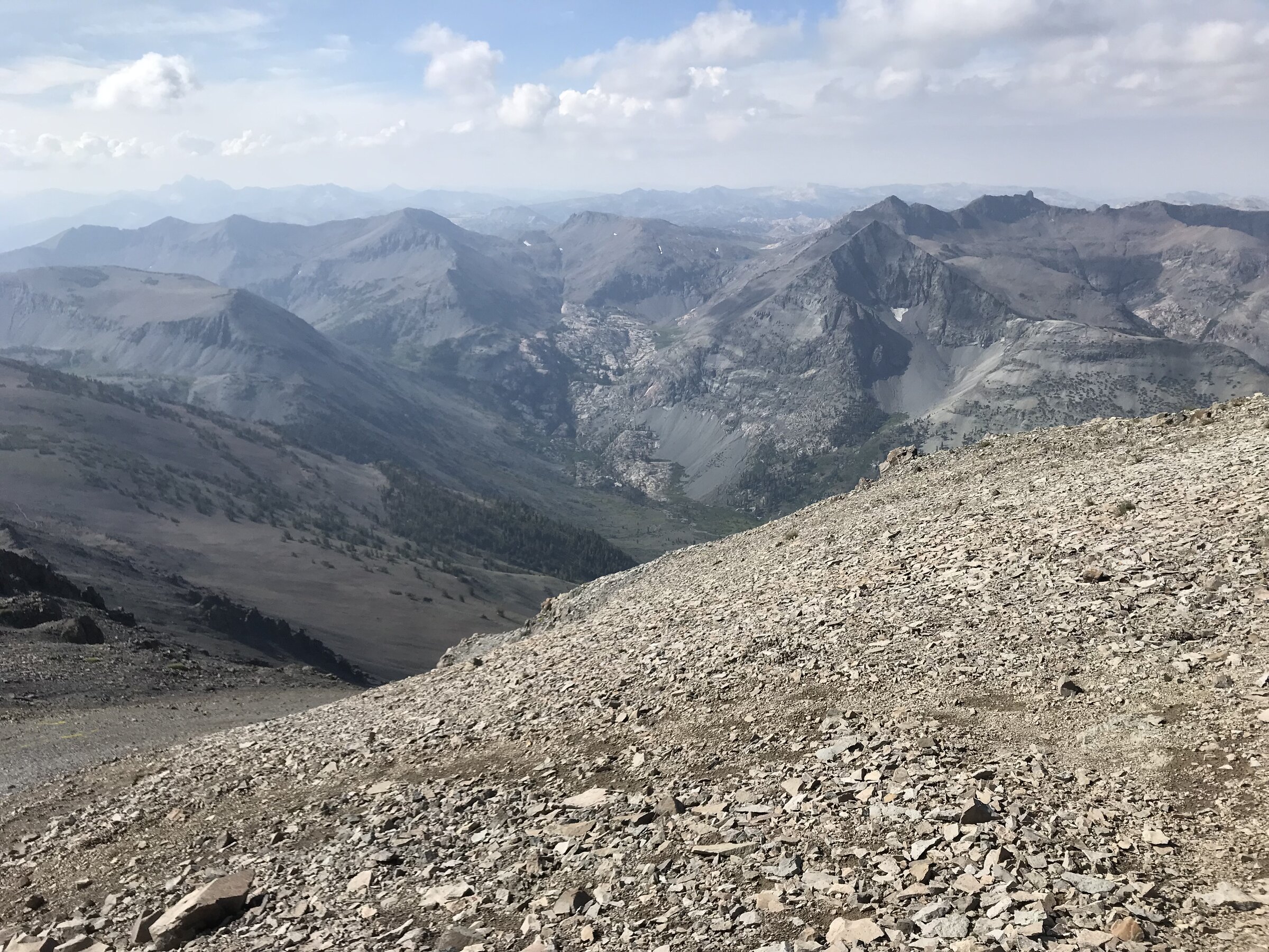
The payoff at the top is a huge, largely unobstructed view in both directions: Yosemite's high country to the south, the South Lake Tahoe region off to the north, and an endless stack of jagged volcanic ridgelines in between. It's a long day by mileage, but almost all of it is easy walking on a well-graded trail, which makes the whole thing feel more like a big scenic tour than a fight to the top.
Photos
Comments