Mount Rose (Nevada)
Different state, different mountain, and easy to mix up with Rose Peak back in the East Bay, but Mount Rose earns its name honestly — it's a genuine Nevada giant, the third-tallest peak ringing the Tahoe Basin and an extinct volcano towering over both Reno and the north shore of the lake. The trailhead sits right at Mount Rose Summit on Highway 431, already at nearly 8,900 feet, which meant a good chunk of the elevation was handled before I even started walking.
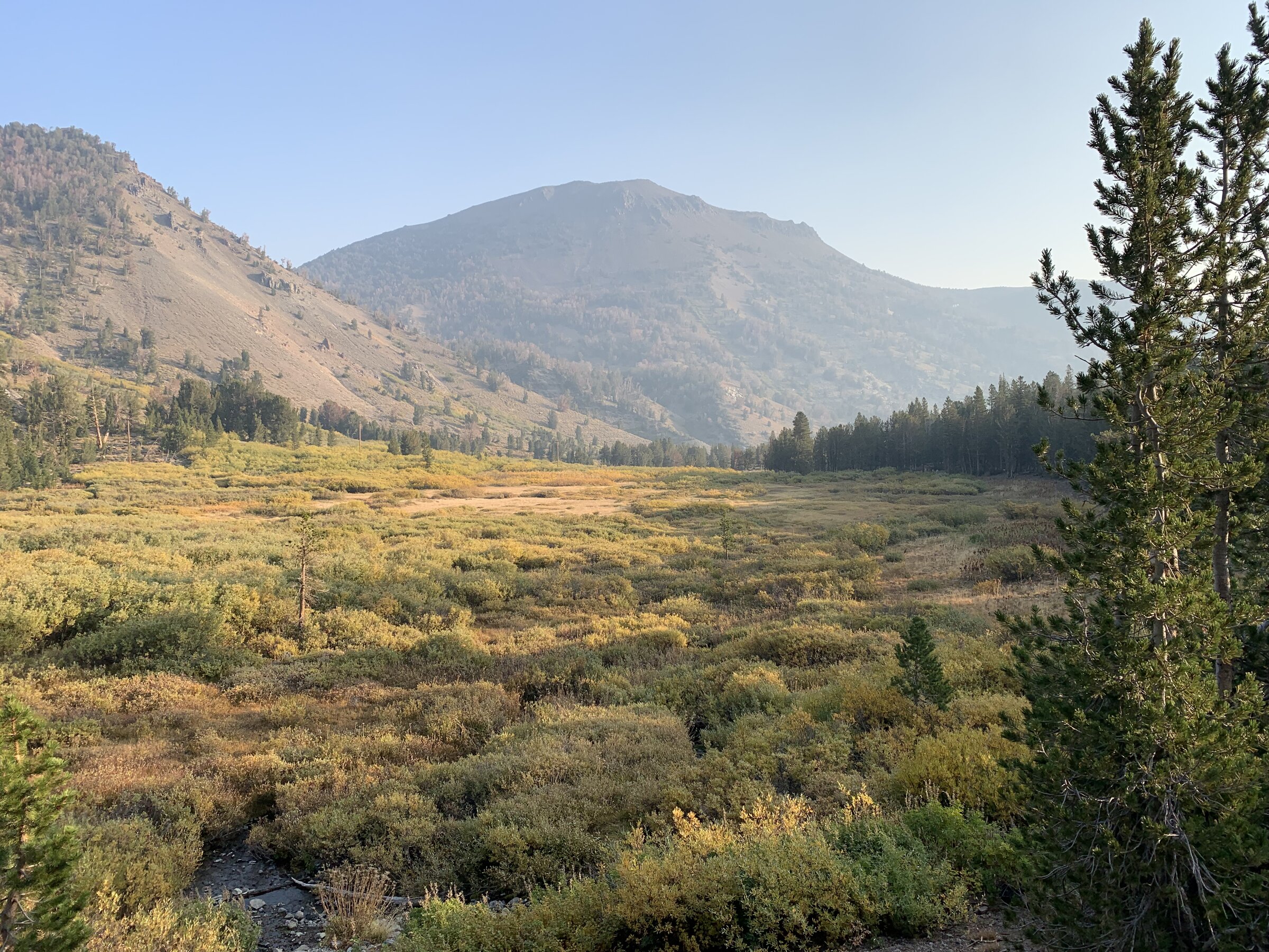
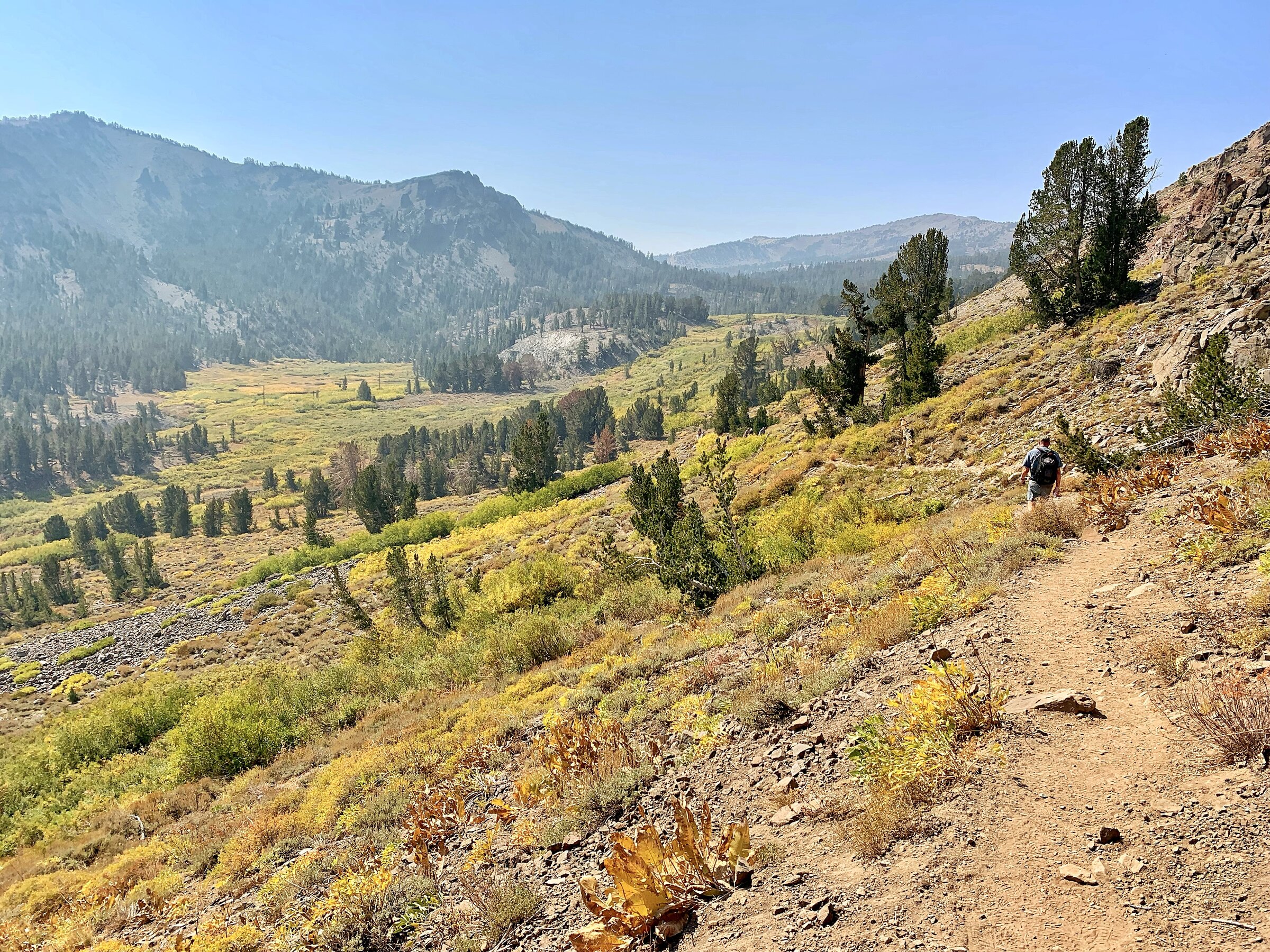
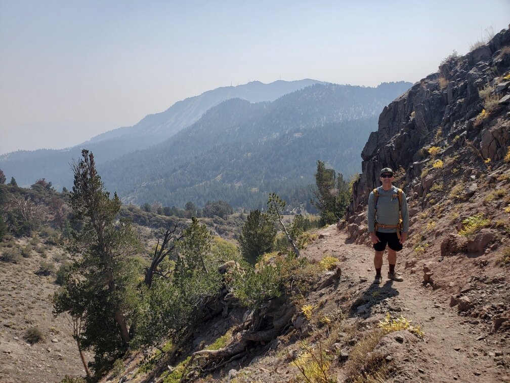
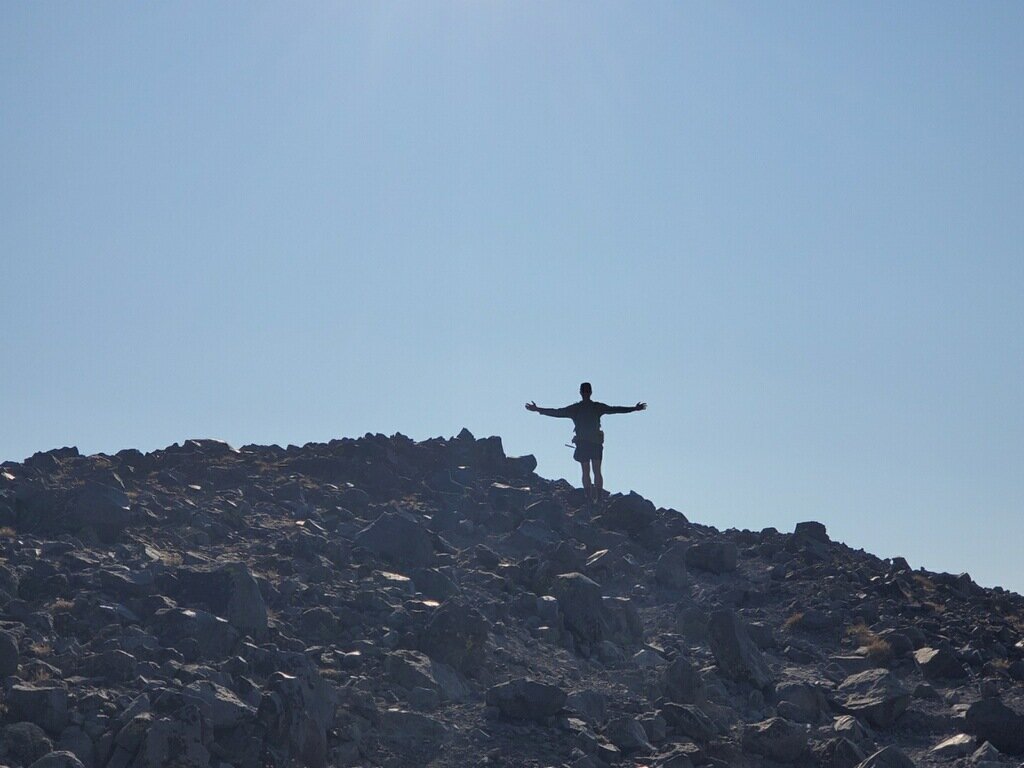
The trail eases in through pine forest and open meadow, passing Galena Falls a couple of miles in — a nice built-in turnaround for anyone just after the waterfall, but the peak was still a long way off from there. After the falls the grade tips up in earnest, climbing thirteen hundred-some feet through switchbacks before breaking out above treeline for the final push. That last stretch is completely exposed, loose underfoot, and windy even on a calm day, but it's also where the views really open up.
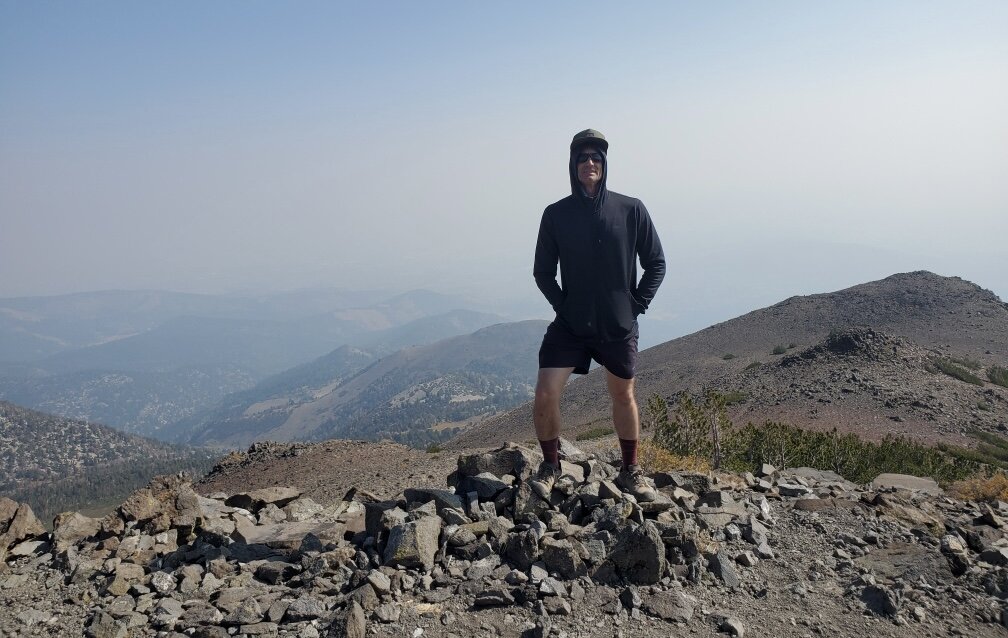
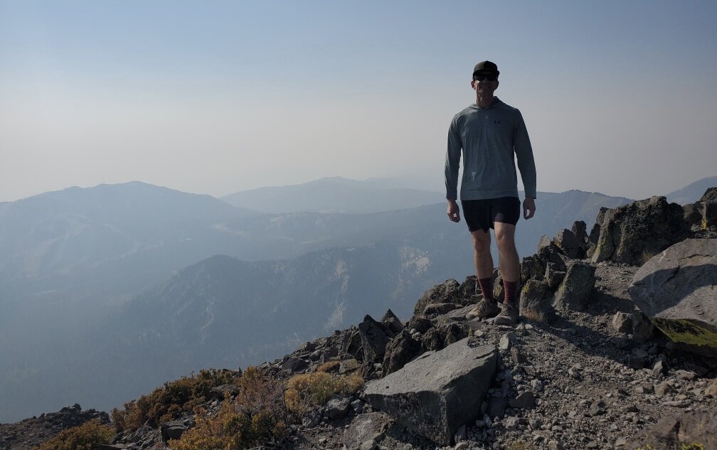
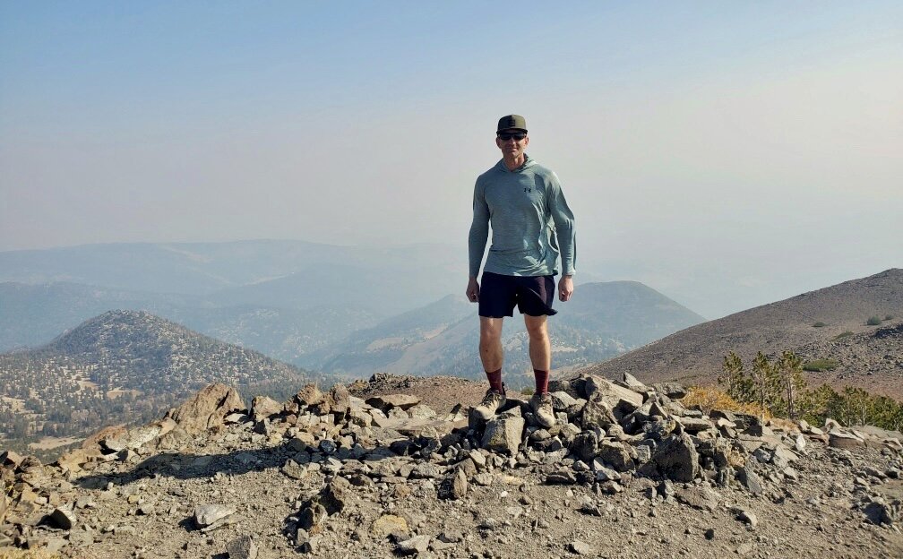
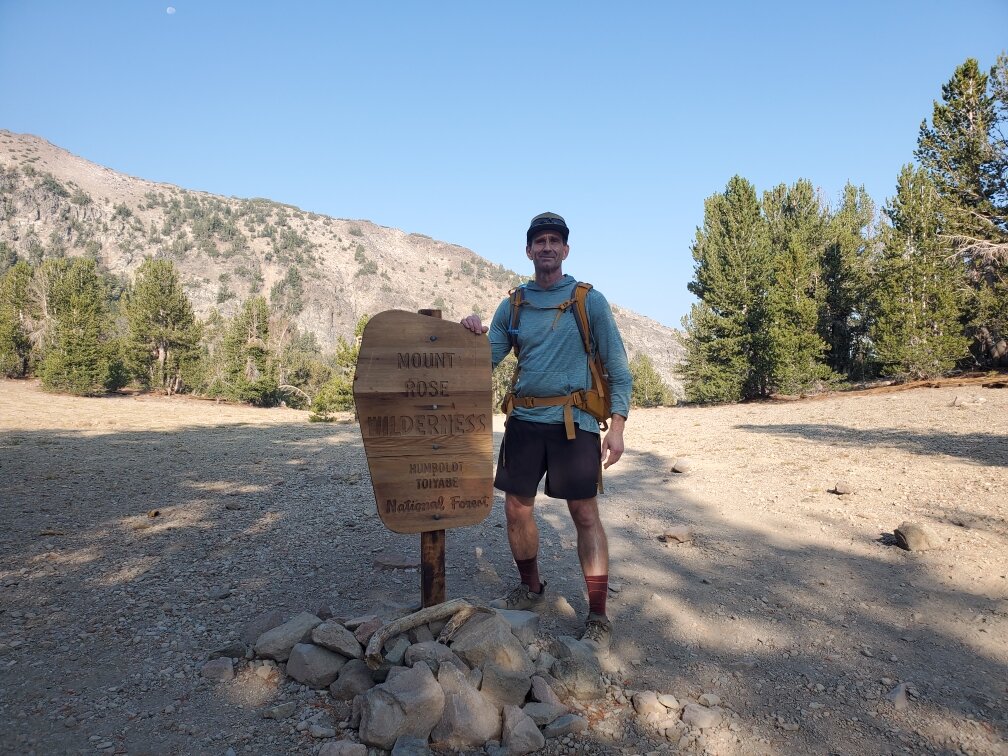
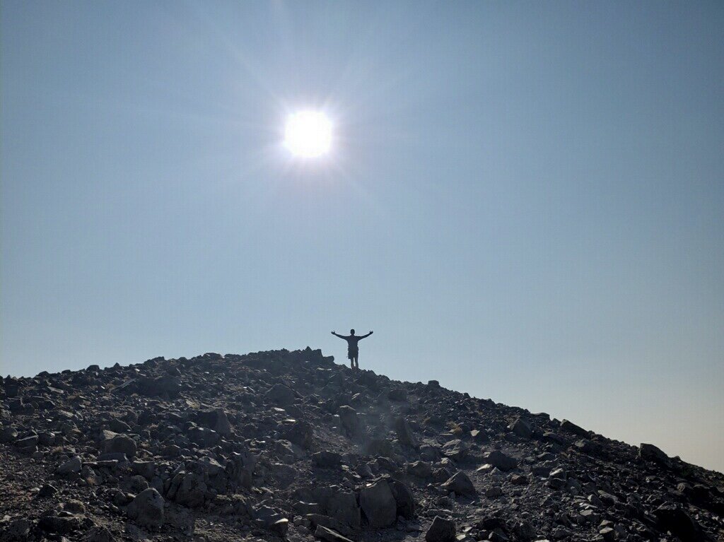
From the 10,776-foot summit, Lake Tahoe spreads out to the southwest like something poured into the mountains, with the Reno-Sparks valley visible in the opposite direction and the Sweetwater Mountains and Sierra crest stretching out beyond that. There was still a haze of wildfire smoke softening the horizon in every direction, but it didn't take much away from standing on top of one of the most recognizable peaks on the Nevada side of the lake. A wilderness sign near the meadow below the summit made it official — you're a long way from the Ohlone hills on this one.
Photos
Comments