Ralston Peak
Second Ascent — September 24, 2023 — Most Recent
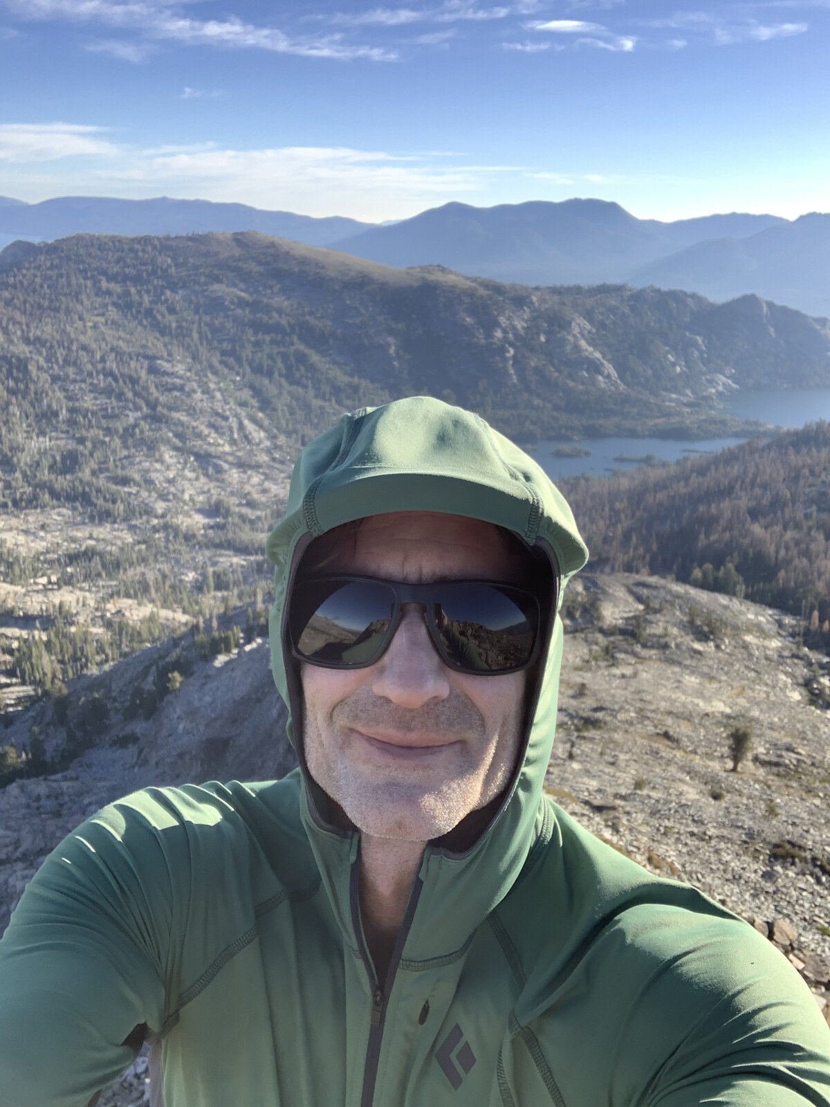
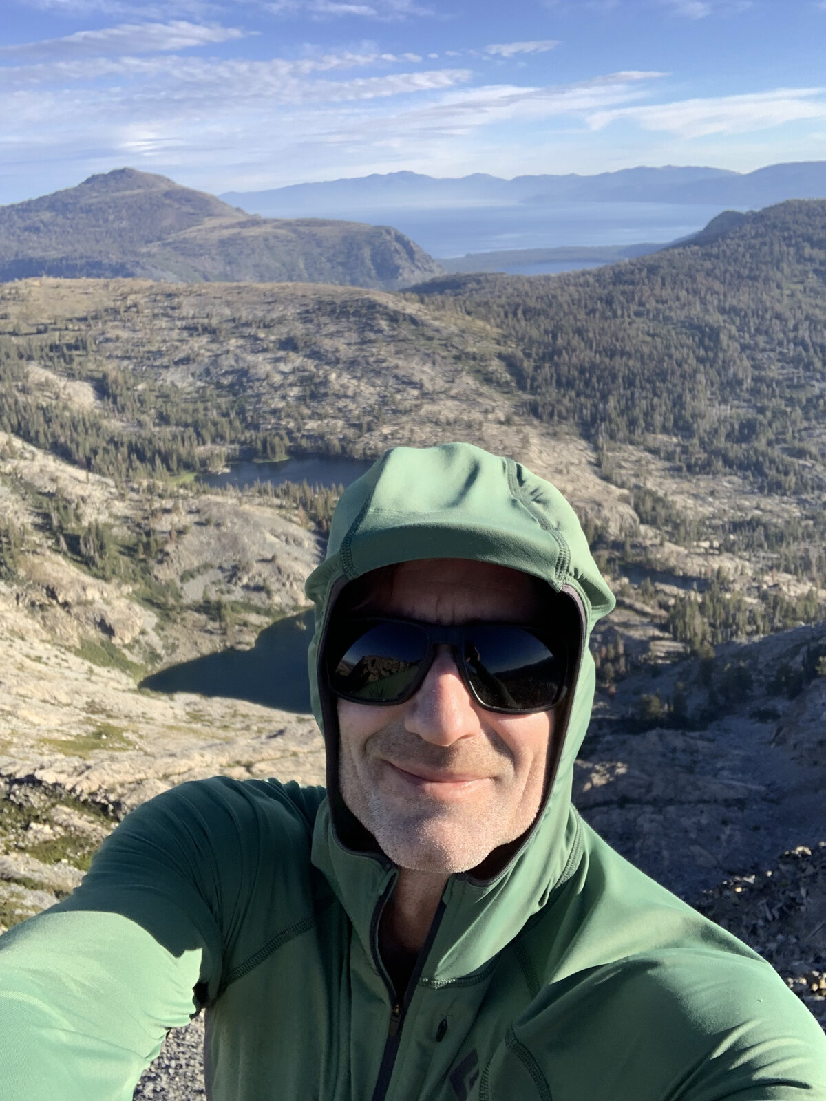
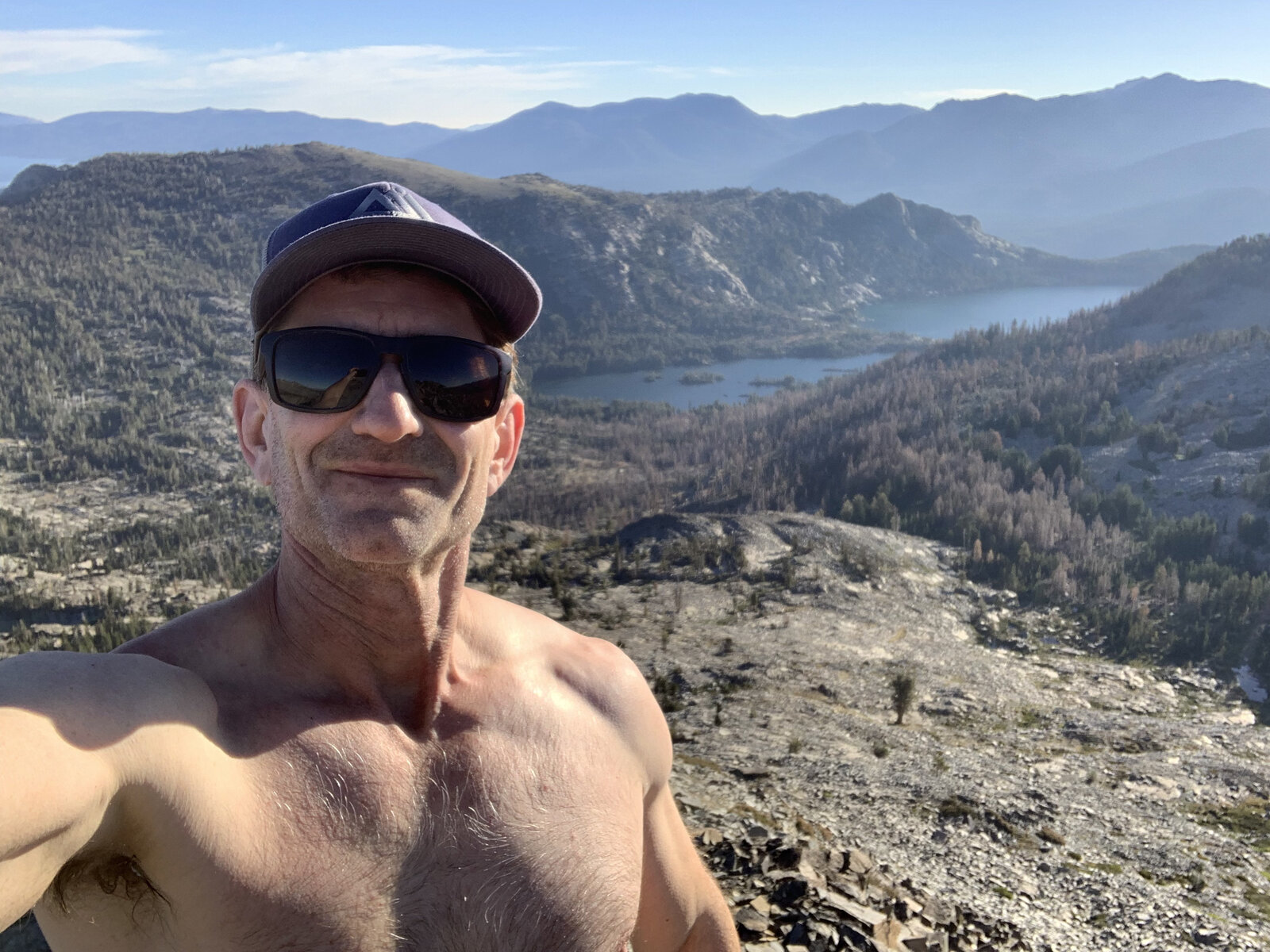
After a long absence from hiking, it was nice to get back out for a solo trip up Ralston Peak today. I'd had a very rewarding mountaineering season this year, but it left me with a hurt knee, and the knee has needed real time to rest since. It's doing better now, and this felt like the right peak to ease back in on.
The silver lining to not hiking much lately has been getting to the gym more, and it's been good to feel my strength climbing back up toward where it was before mountaineering season really got going. For me, when I'm out hiking a lot, gym time always suffers — it's just the way it works out, one or the other gets the hours. Nice, this time, to have both sides of that balance worth mentioning.
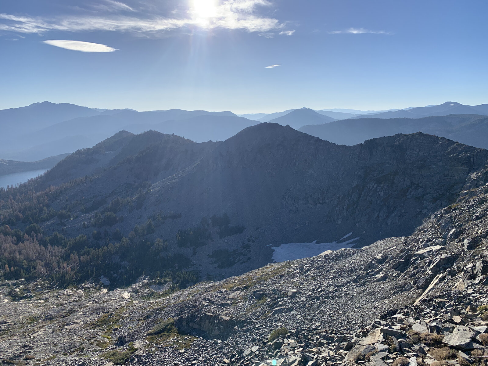
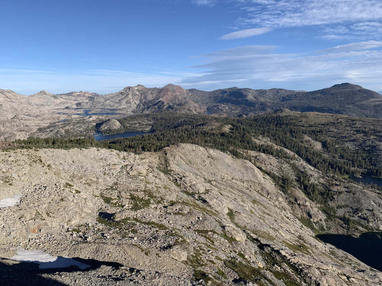
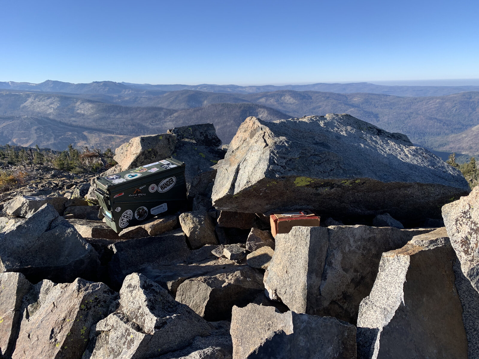
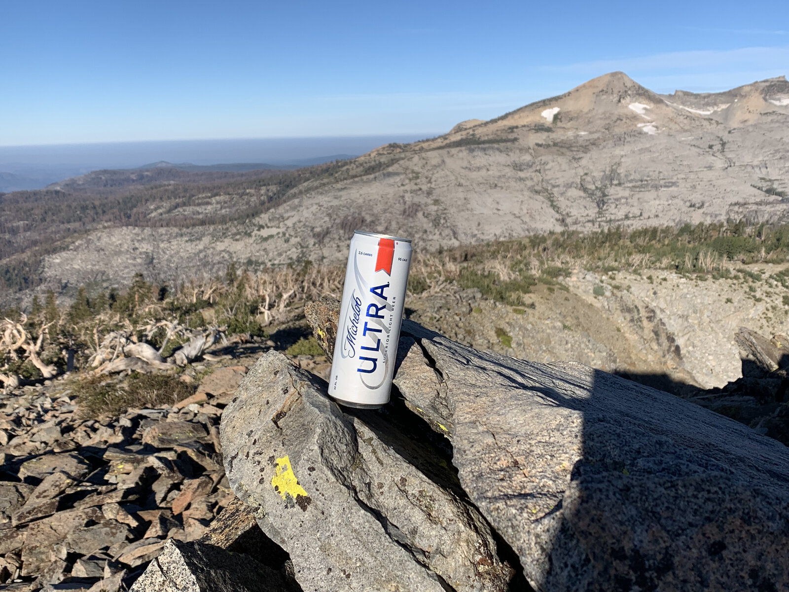
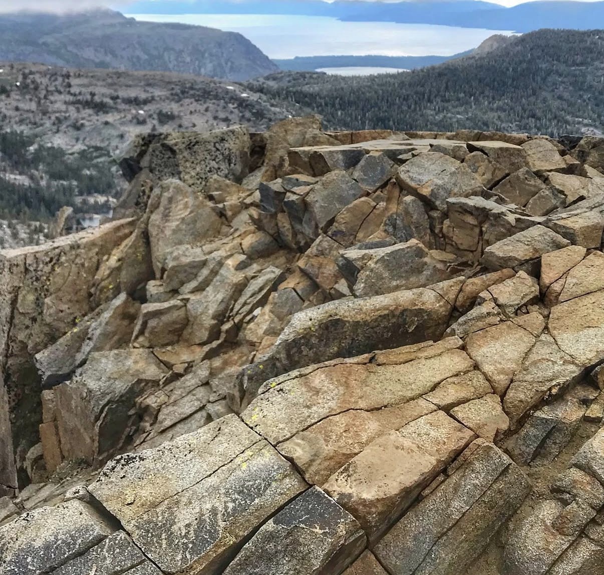
Same switchbacks up through the forest and out onto open granite above Highway 50, with Lake Aloha and the Crystal Range spread out below just like the first visit, though late September traded the early-June snow for dry, dusty trail and hazier late-summer light. Sat up on the rock for a while just taking in the sun and relaxing, no particular hurry to get back down.
A quiet, solo day on a peak I already knew was worth the effort — and a good reminder that I always look forward to the next mountain, knee and all.
First Ascent — June 3, 2020
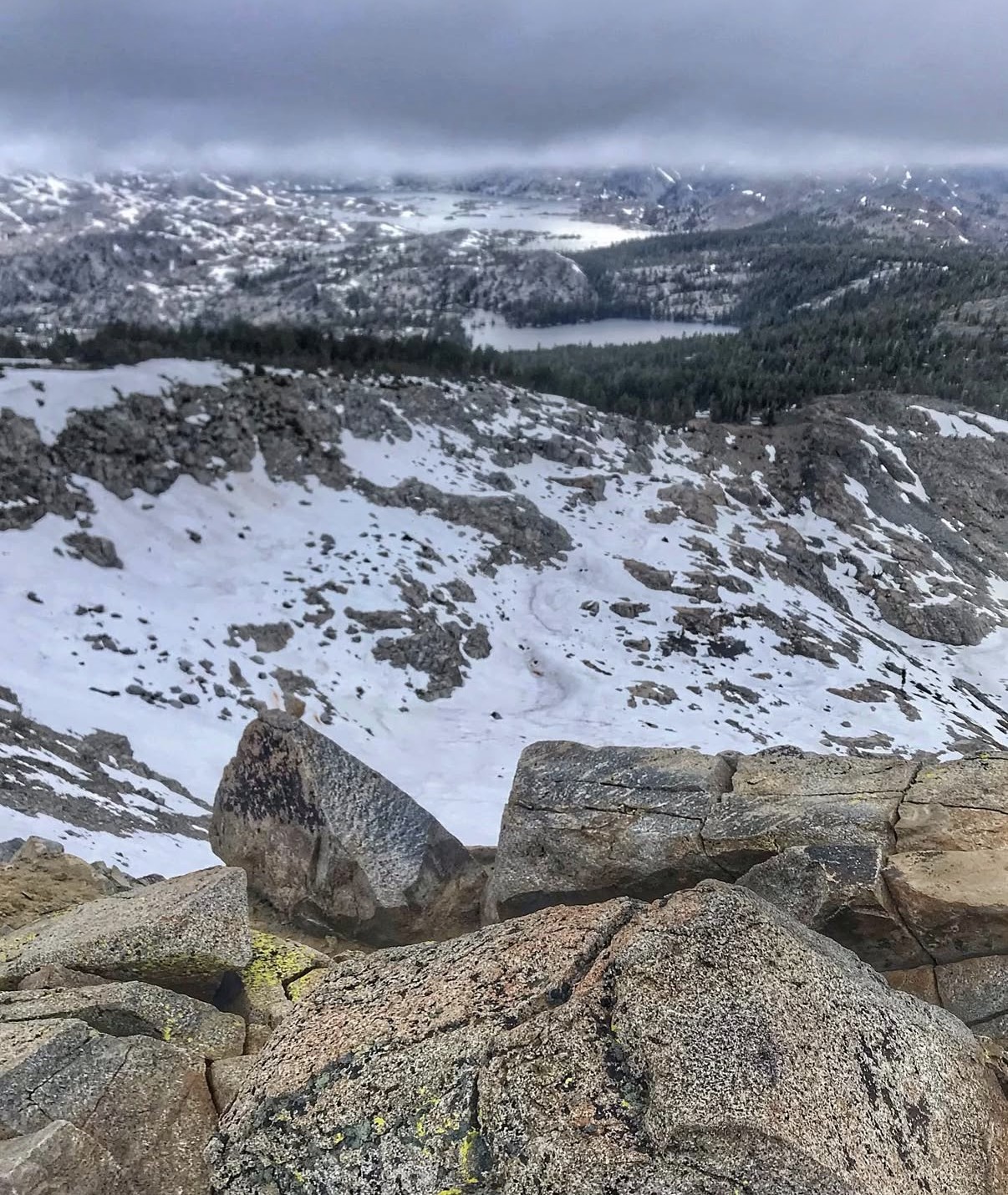
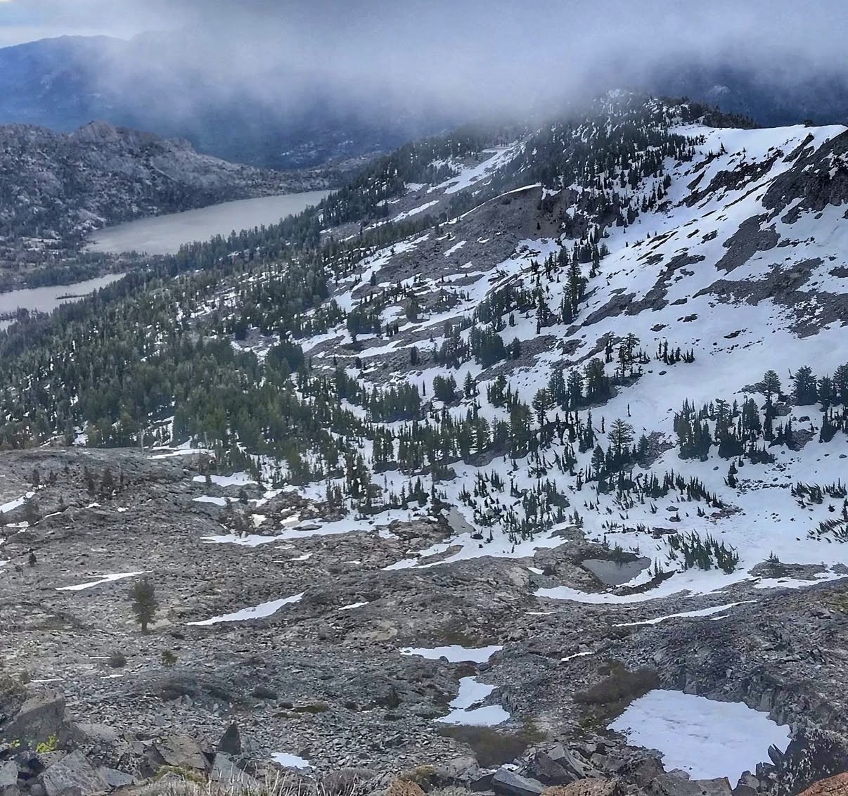
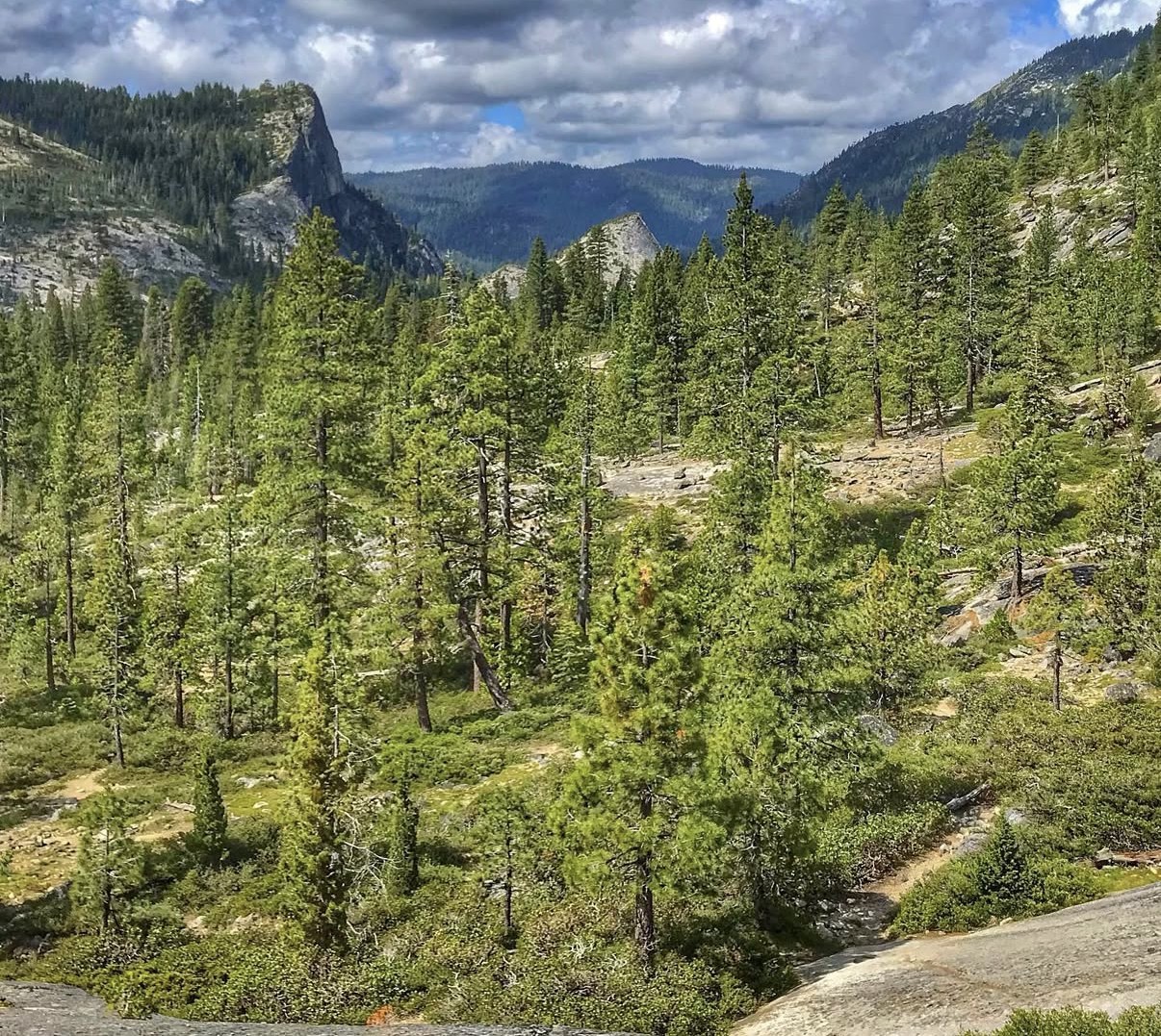
Ralston Peak sits above Highway 50 near Twin Bridges, and the trail up earns its views fast — switchbacks climbing through forest before breaking out onto open granite with the Crystal Range and Lake Aloha spreading out below. Early June still had real snow lingering in the basins and gullies on the way up, patchy at first and then covering entire slopes the higher I got.
The summit views are the whole reason to do this hike: a huge, layered panorama over Lake Aloha, Pyramid Peak, and the jagged granite of the Crystal Range, with low clouds rolling through the basin below and occasionally swallowing whole ridgelines before revealing them again a few minutes later. Standing on the rock at the top, looking straight down into that snow-and-granite bowl, is one of the best views I've gotten for this little elevation gain.
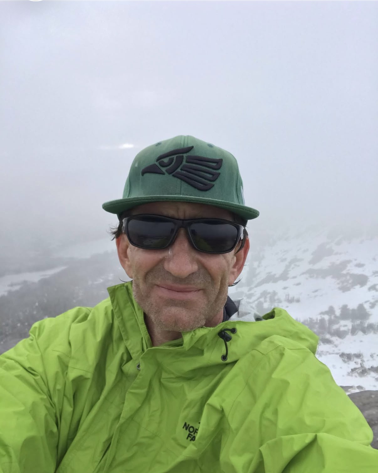
The one problem with the summit was the cold. Clouds and wind had rolled in right as I topped out, and it was cold enough that a piece of ice actually fell off the clouds and hit me in the face while I was up there. I only lasted about five minutes at the true summit before the wind chill won and I started heading back down — a short stay for a view that good, but sometimes the mountain makes that decision for you.
Comments