Mount Umunhum
Mount Umunhum was a nice change of pace from the usual Diablo grind — the standard route out of the Bald Mountain parking area in the Sierra Azul Open Space Preserve, a well-graded, mostly shaded trail that climbs gradually through oak and bay woodland rather than beating you up the way some of the steeper East Bay peaks do. Easy hike, but a genuinely good one.
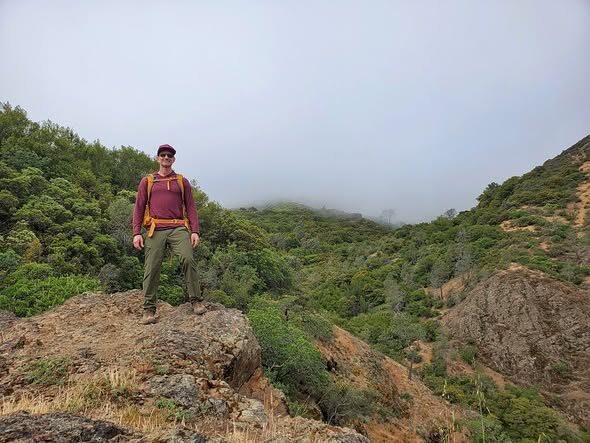
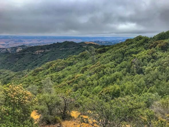
A marine layer was rolling in and out over the ridgelines for most of the day, fog pouring through the canyons below one minute and clearing enough for long views out over the South Bay the next. The summit itself is impossible to miss from almost anywhere in the region — it's topped by "the Cube," the old Air Force radar station tower left over from the Cold War, now preserved as part of the mountain's history rather than torn down.
About 8 miles round trip and roughly 1,200 feet of gain — nothing epic, just a solid, scenic, easy day with a great view of the whole area from a summit most people only ever see from a distance.
Photos
Comments