Crater Peak & Magee Peak
Second Ascent — July 25, 2026 — Most Recent
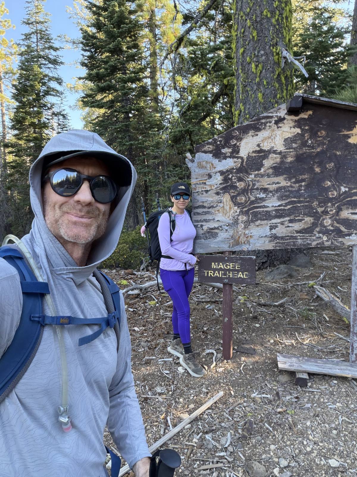
Back for a second round on Crater and Magee, and the drive alone is a commitment — 12 miles of forest road to the trailhead, 10 of it gravel and the last 2 switching to dirt. None of it is bad, just slow going the whole way.
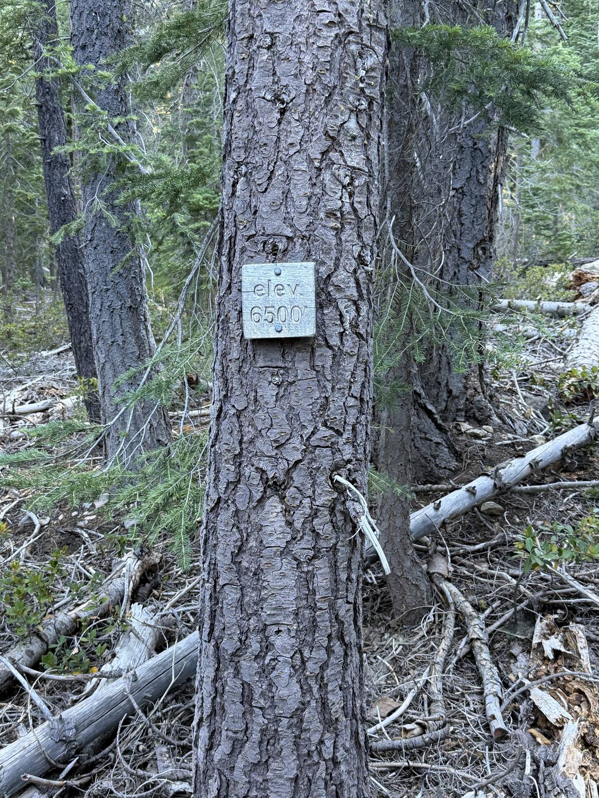
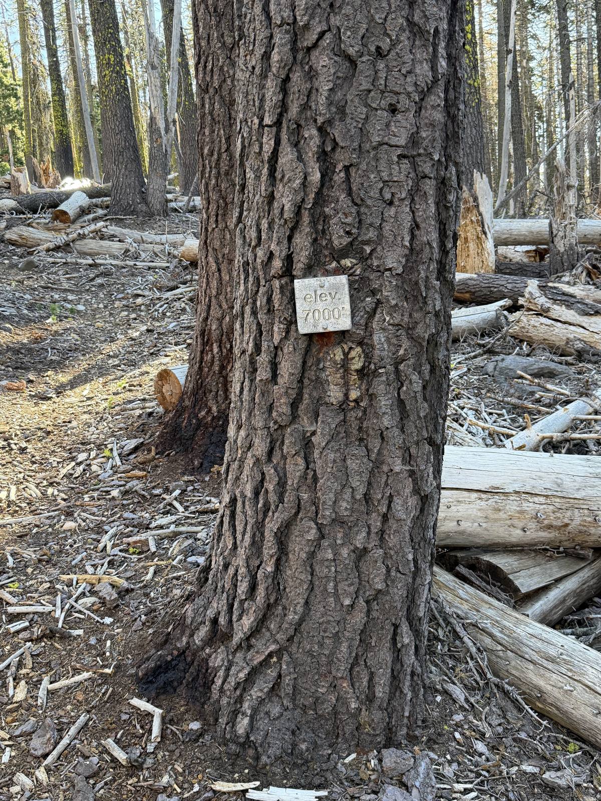
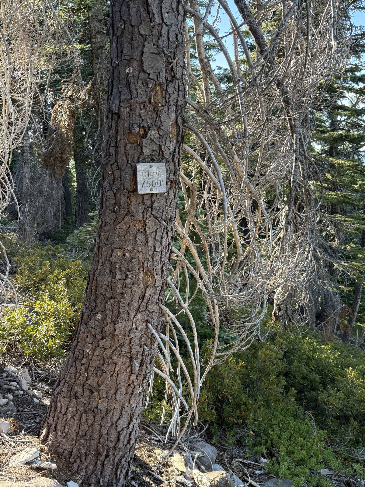
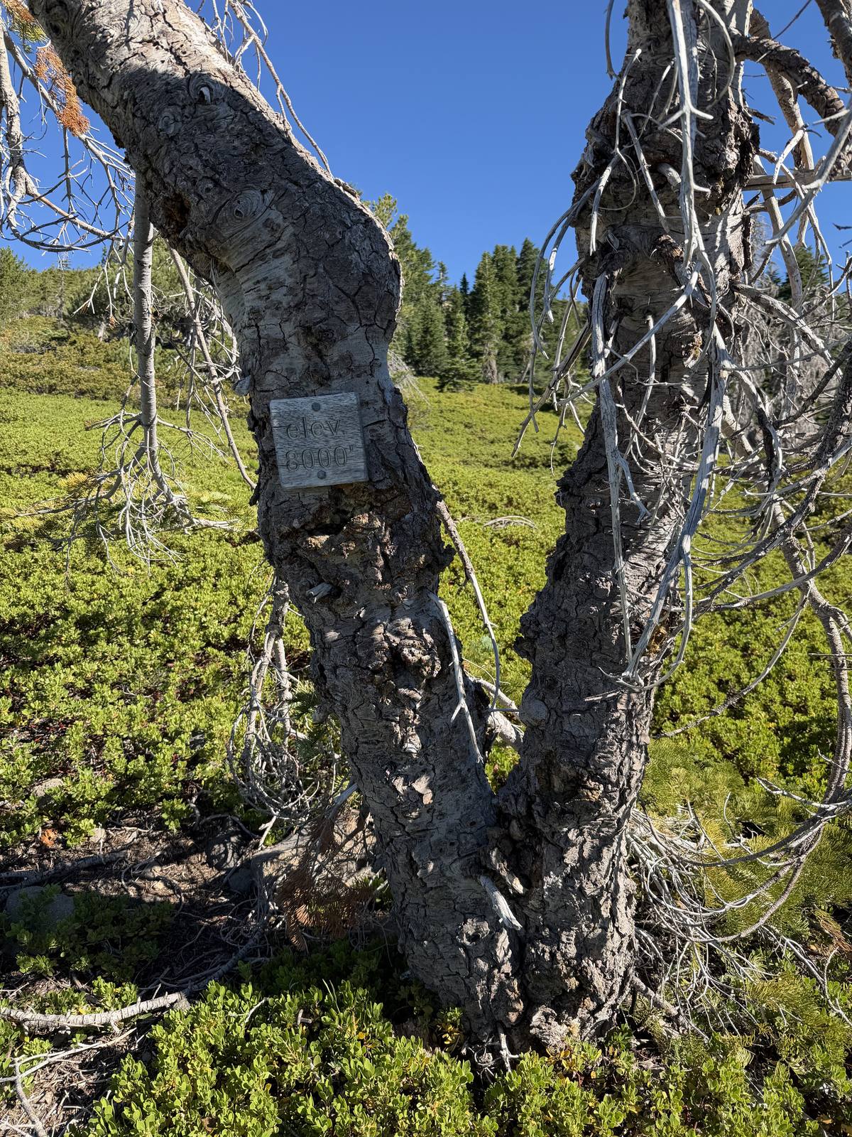
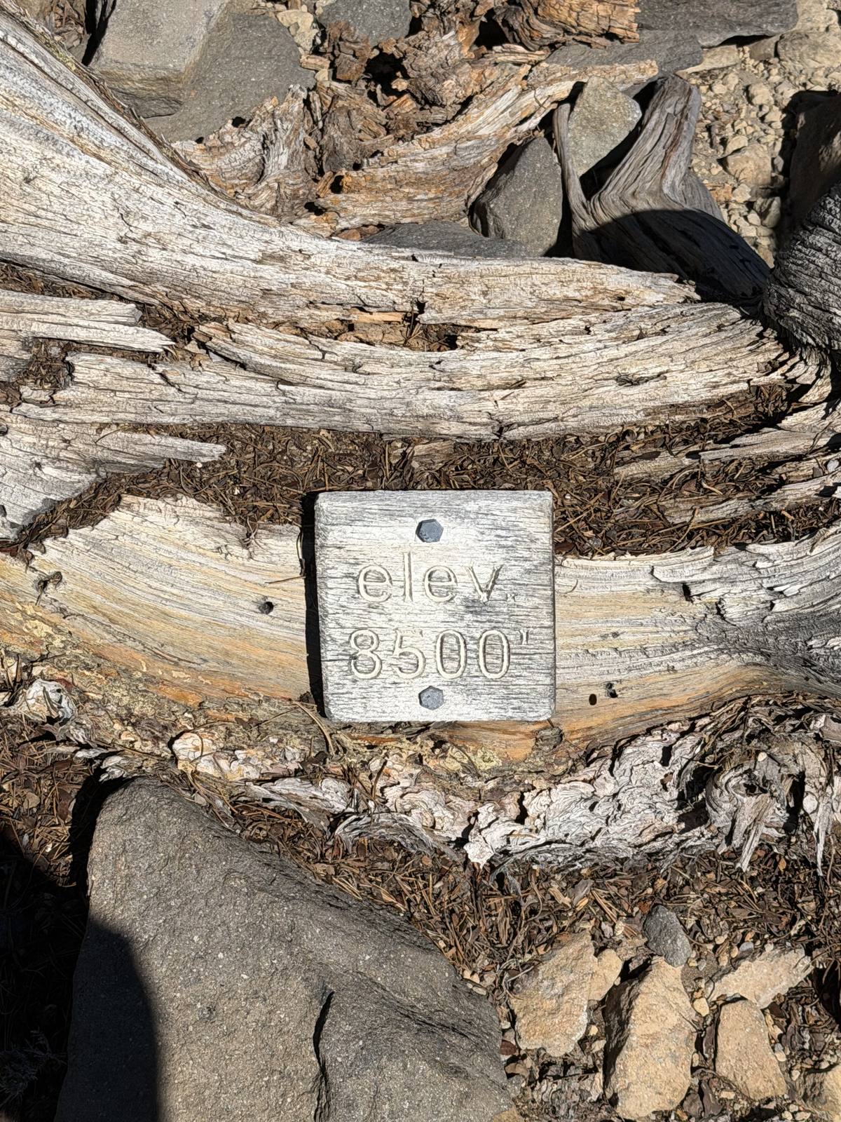
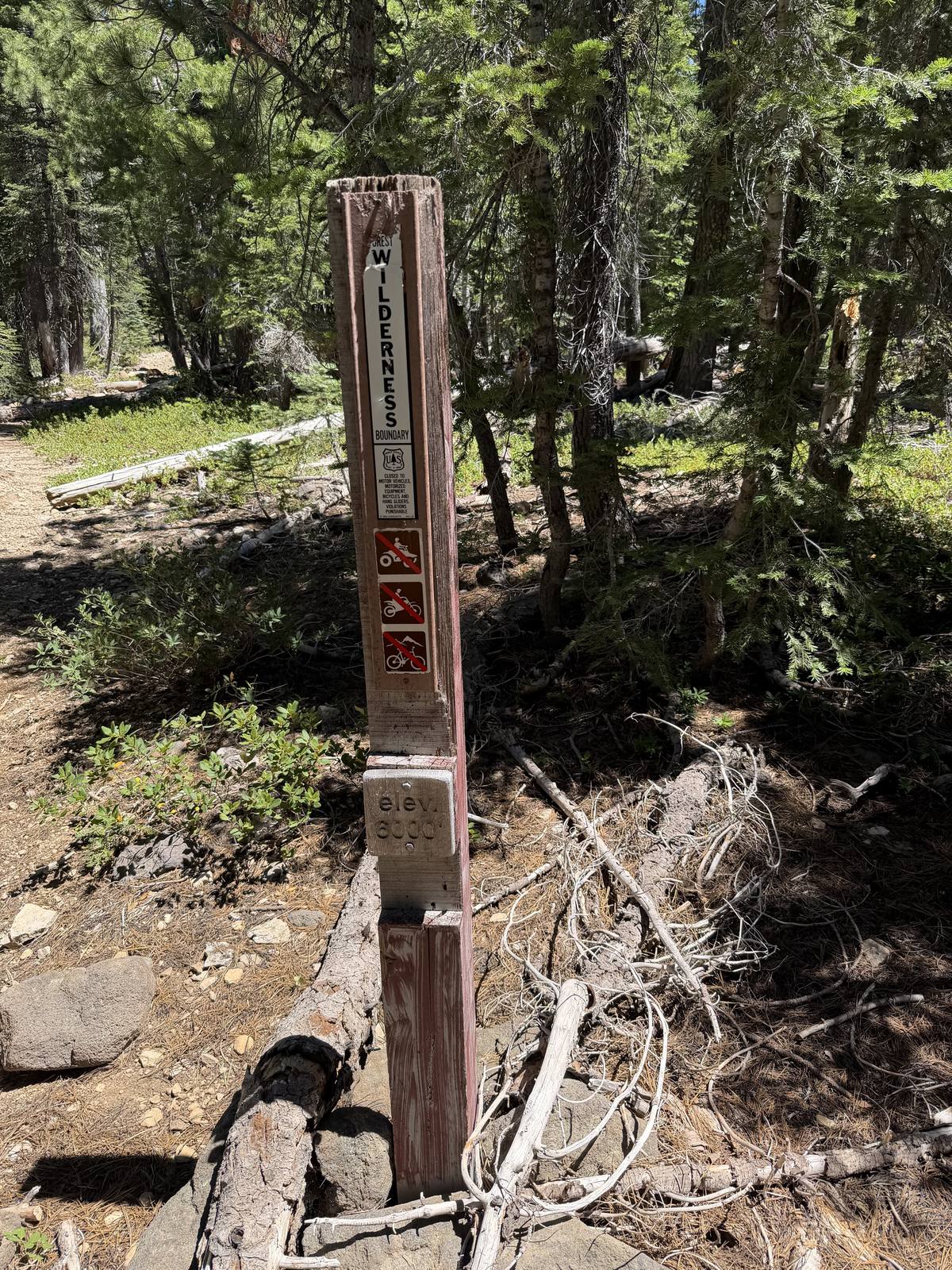
The trail has a nice touch I hadn't noticed the first time: signs posted at intervals along the way calling out your current elevation, an easy way to track progress without pulling out a phone. A handful of downed trees crossed the path here and there, nothing serious, just the occasional step-over or a quick detour around. Butterflies were out in force today too, more than I can remember seeing on any other hike.
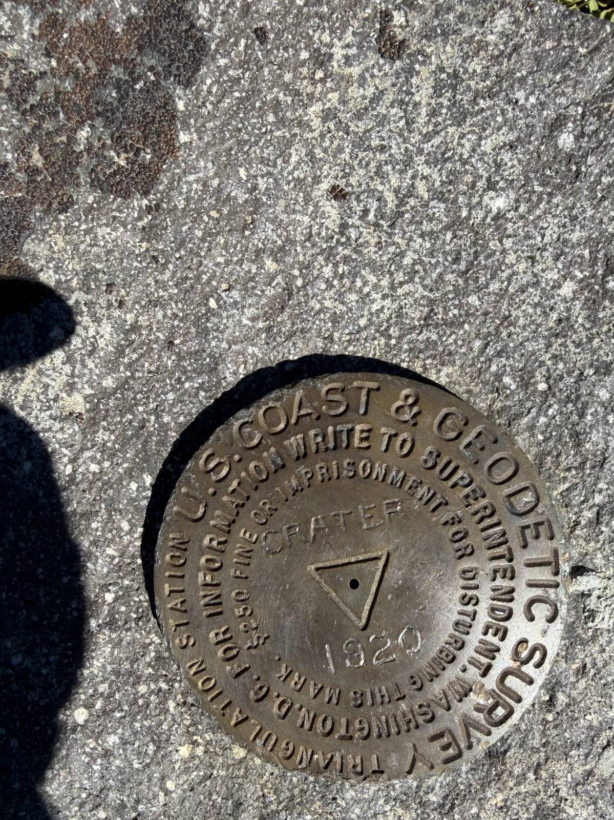
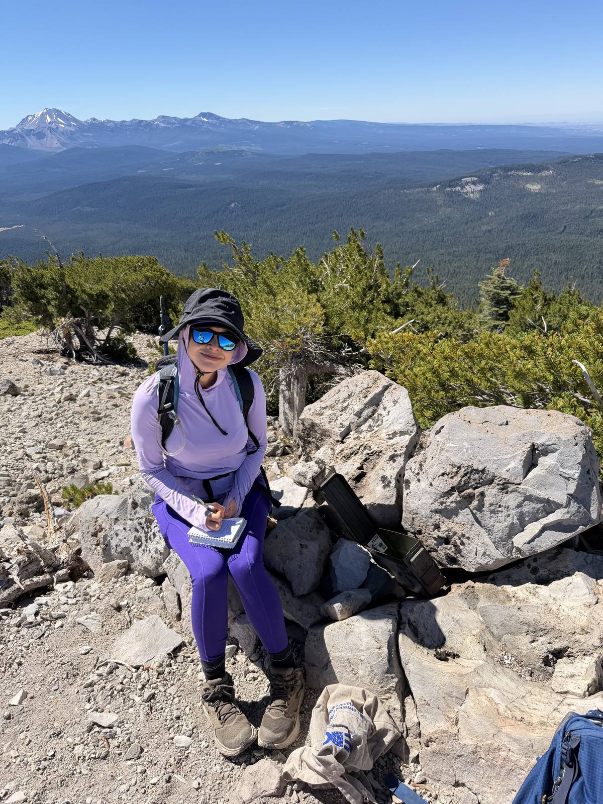
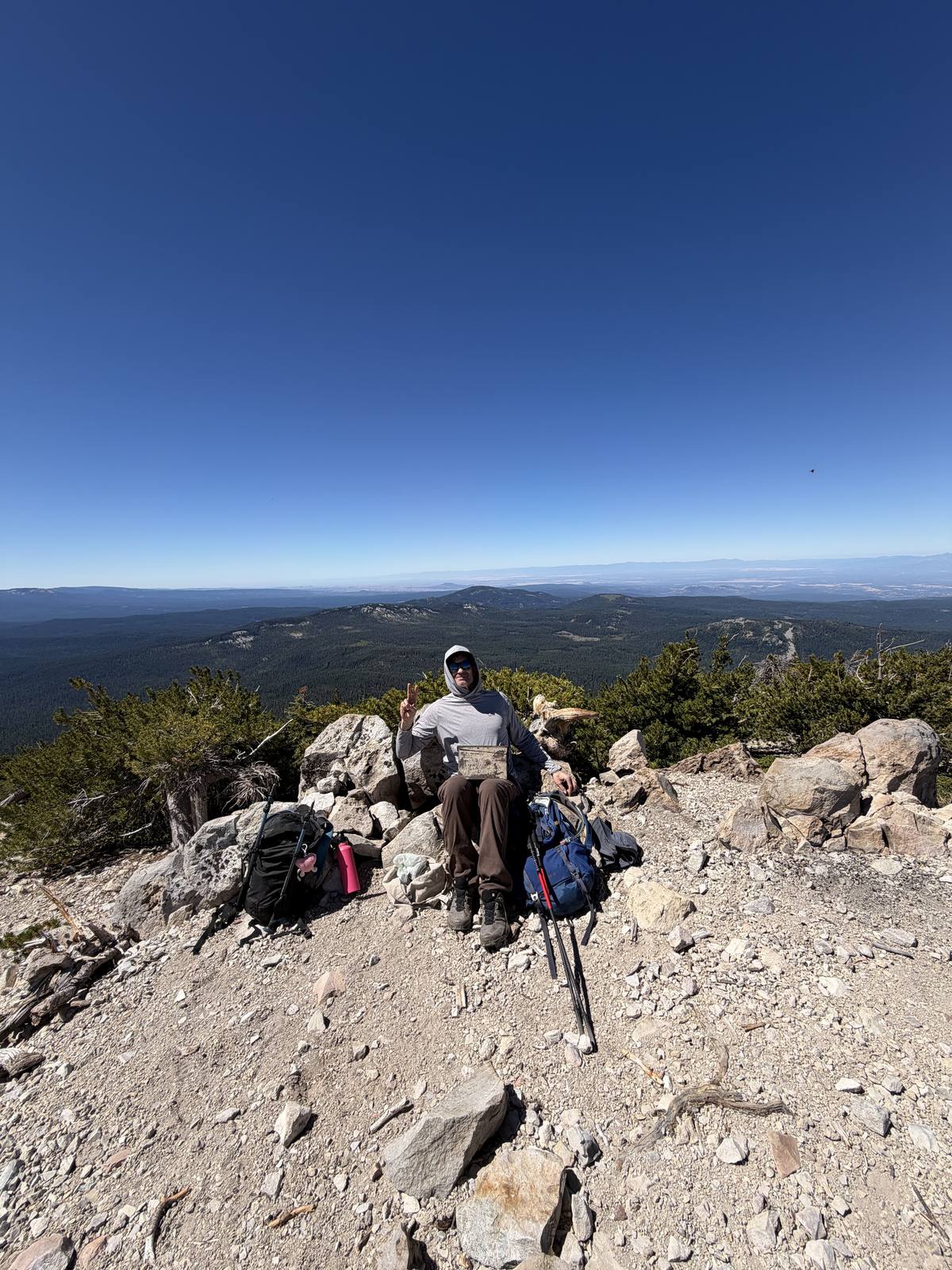
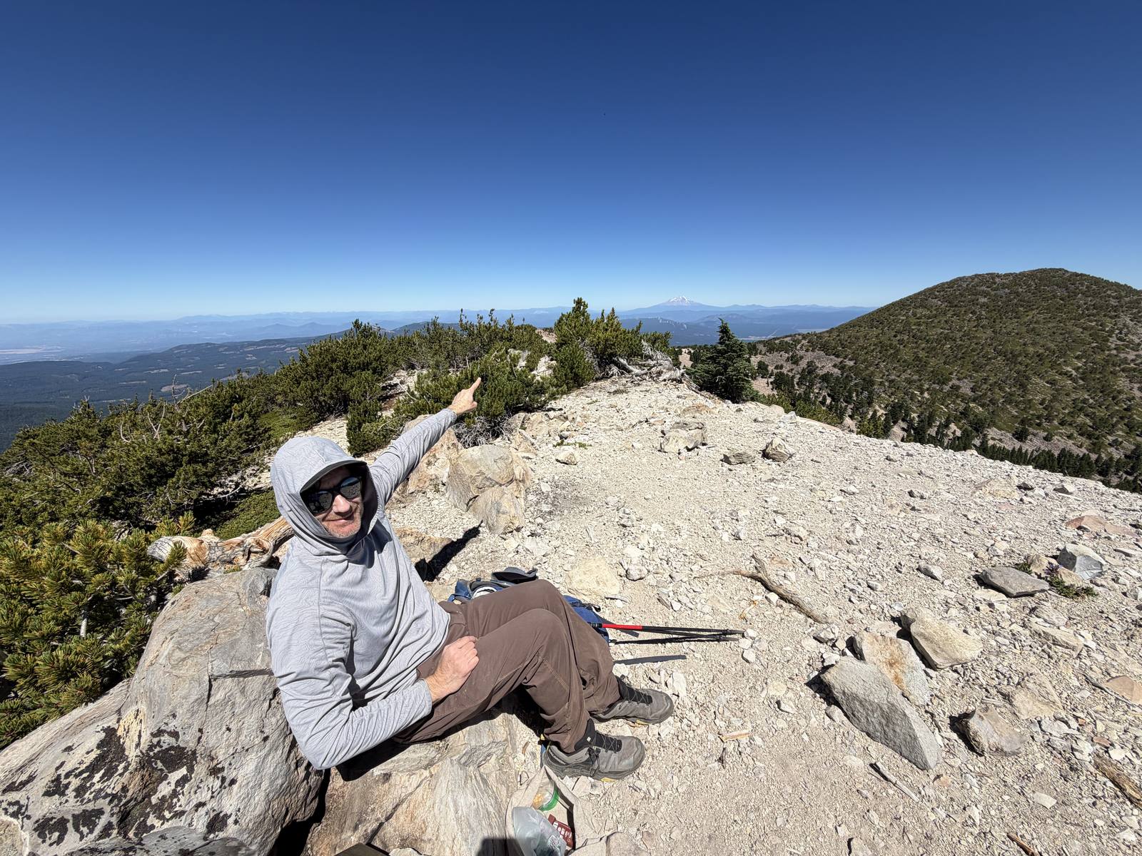
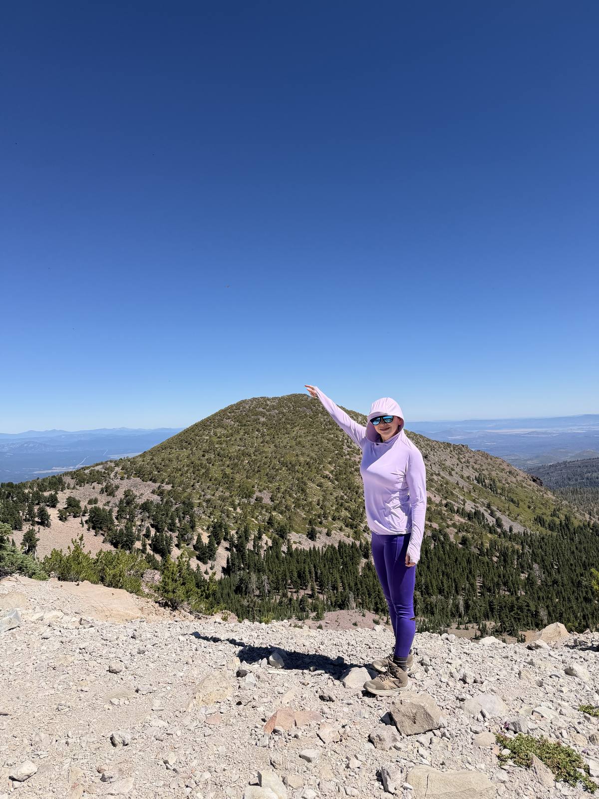
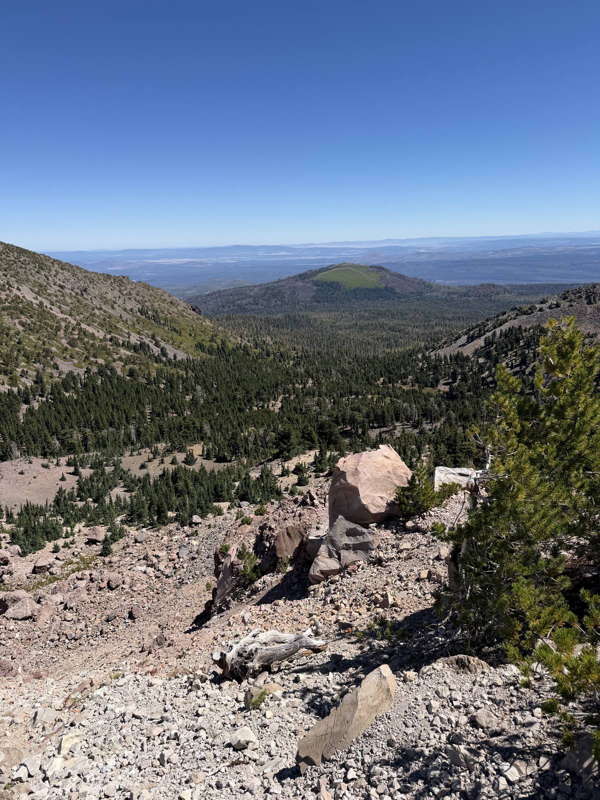
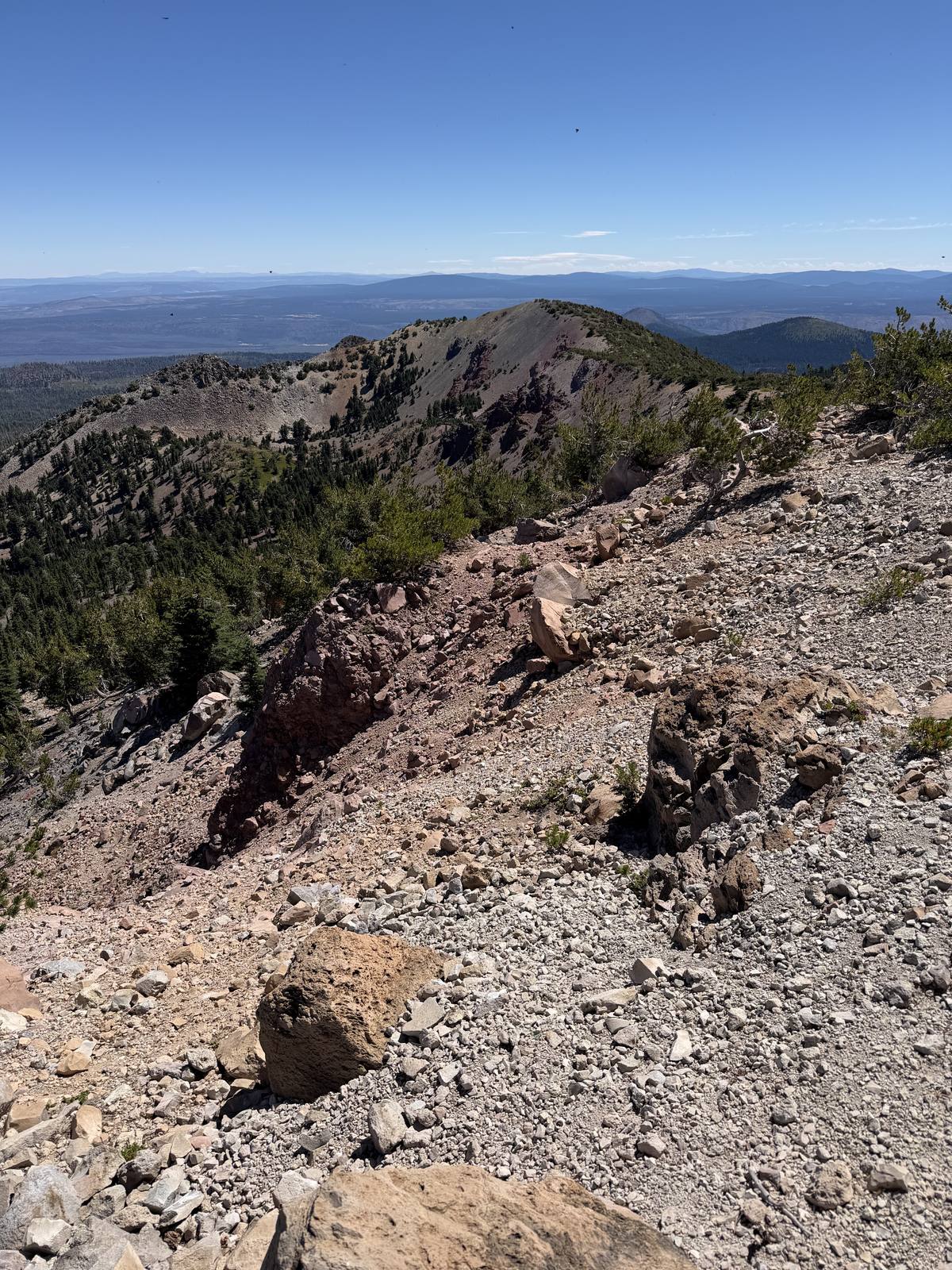
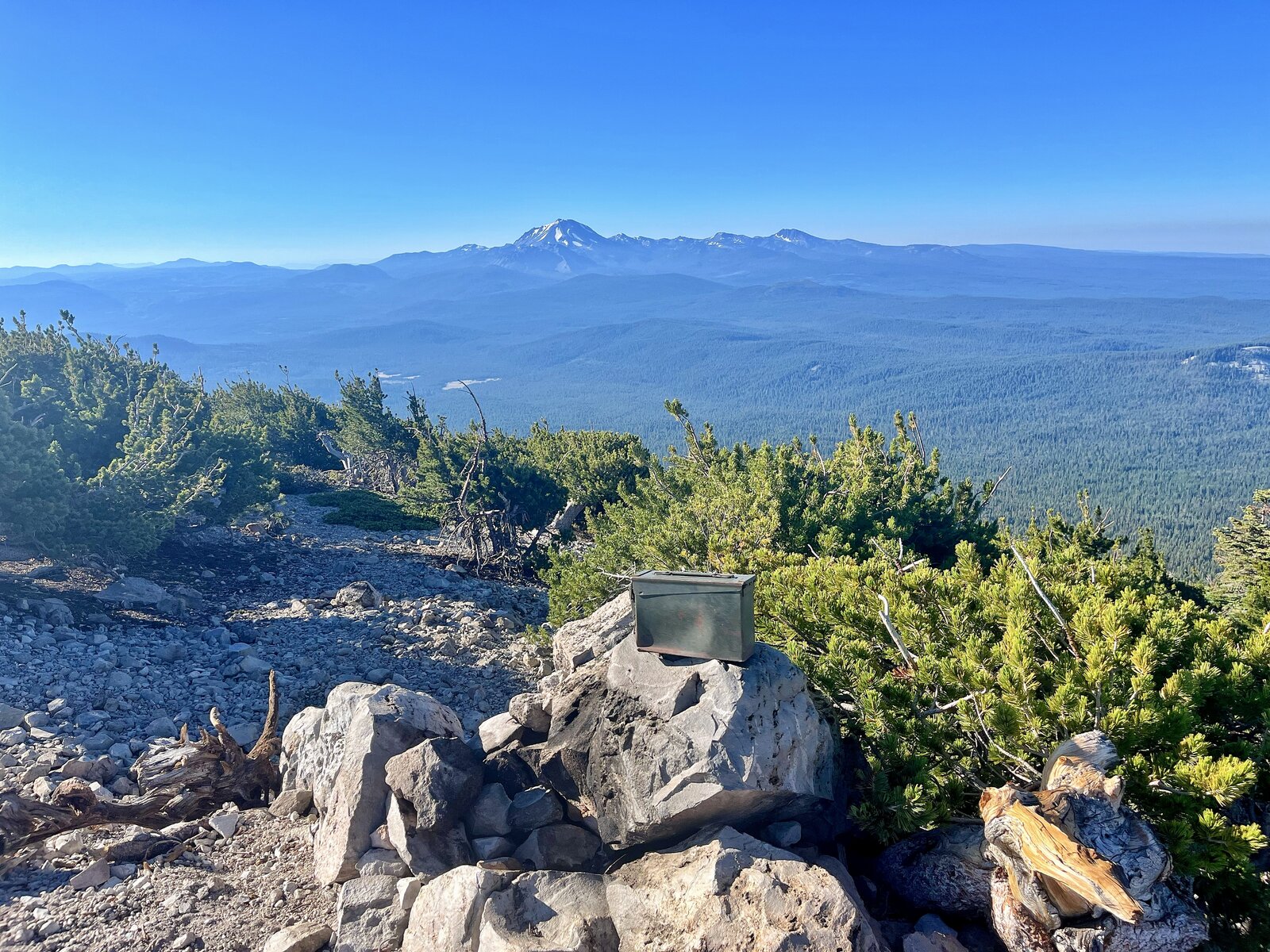
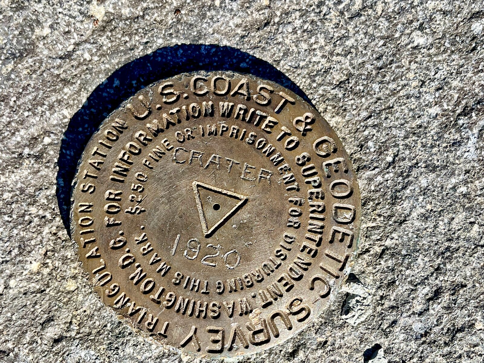
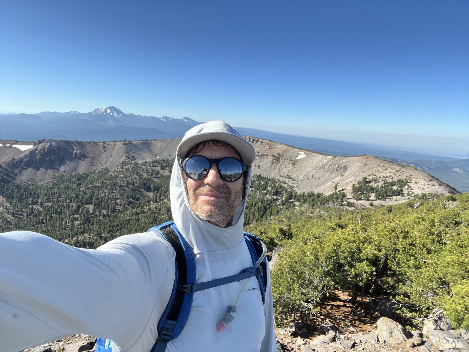
Crater came first this time around, and the wind up there made the decision easy — it was blowing hard enough that we didn't stick around, grabbed what we needed and got moving again. Both summits have a logbook register, but only Crater carries an actual survey marker, and reaching its true high point means leaving the trail for a short off-trail scramble at the very top. Magee, on the way back, was a completely different story — nowhere near the wind Crater had, and we actually sat and enjoyed it this time. 8 miles round trip and 3,000 feet of gain, with a much calmer second half of the day than the first.
First Ascent — August 2, 2025
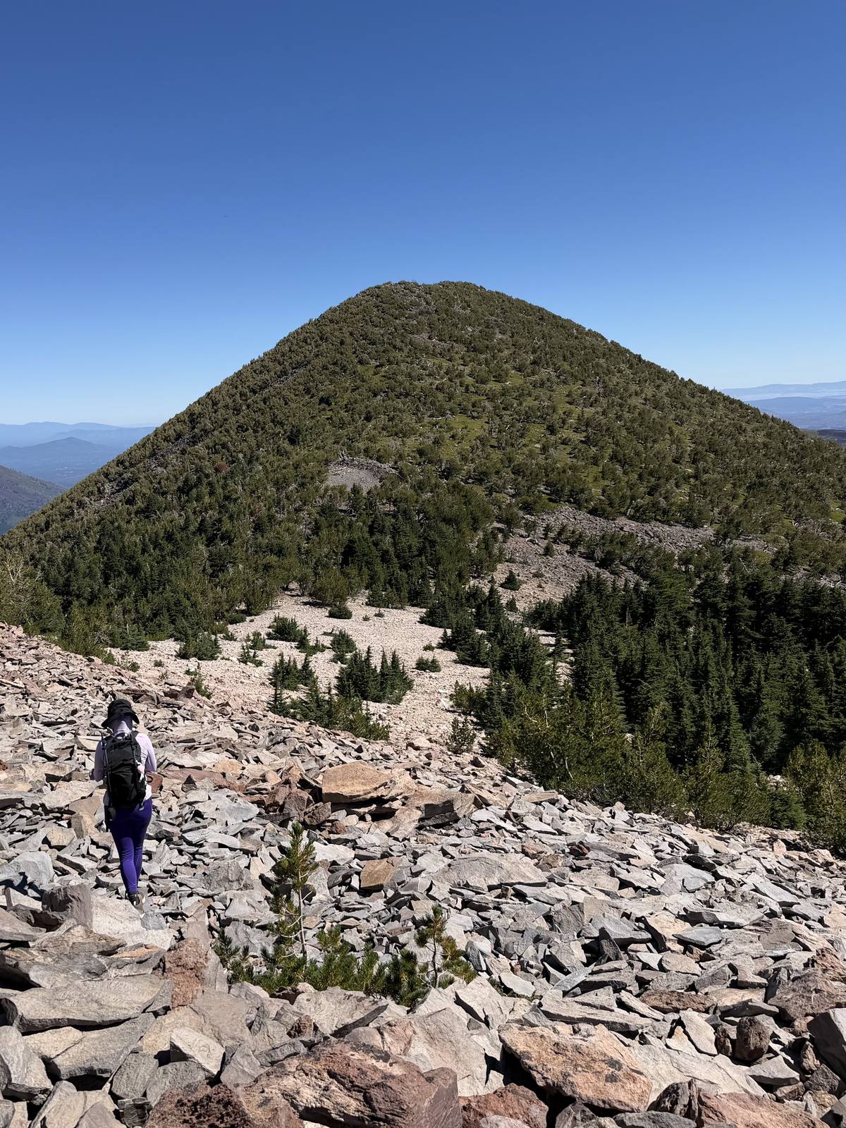
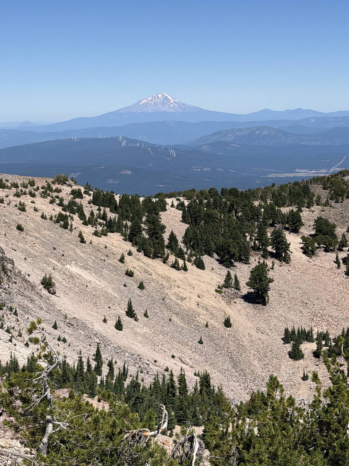
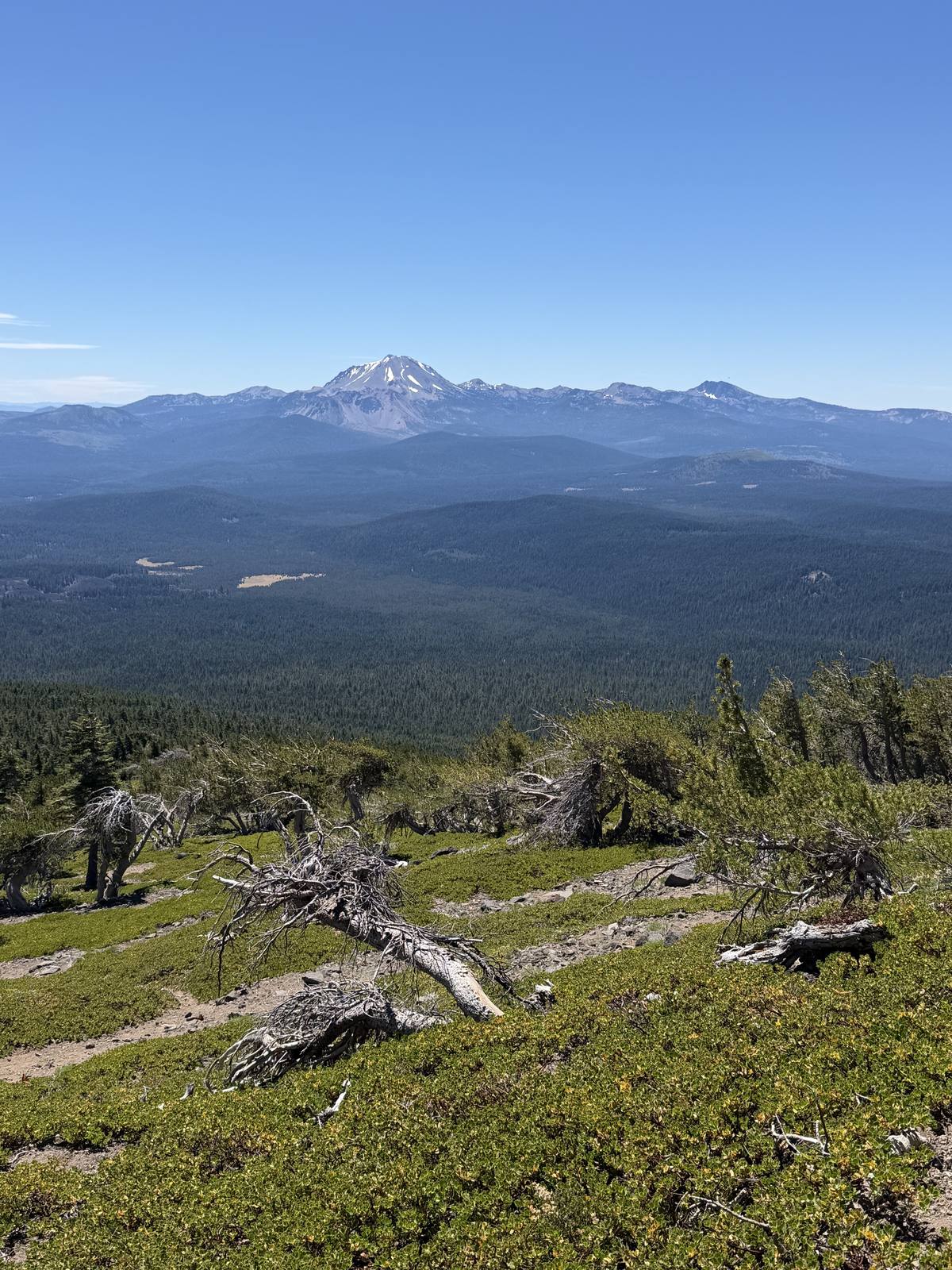
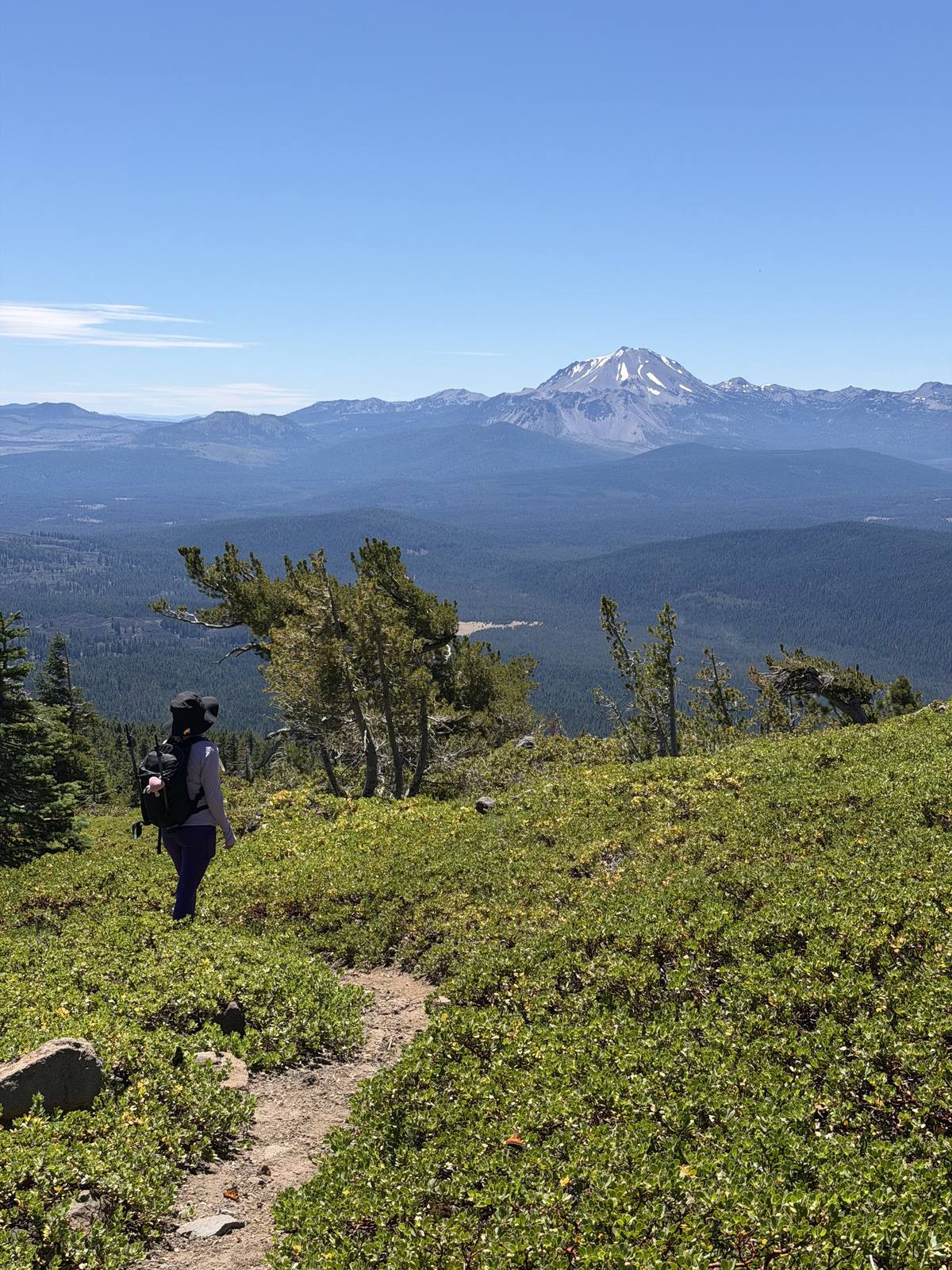
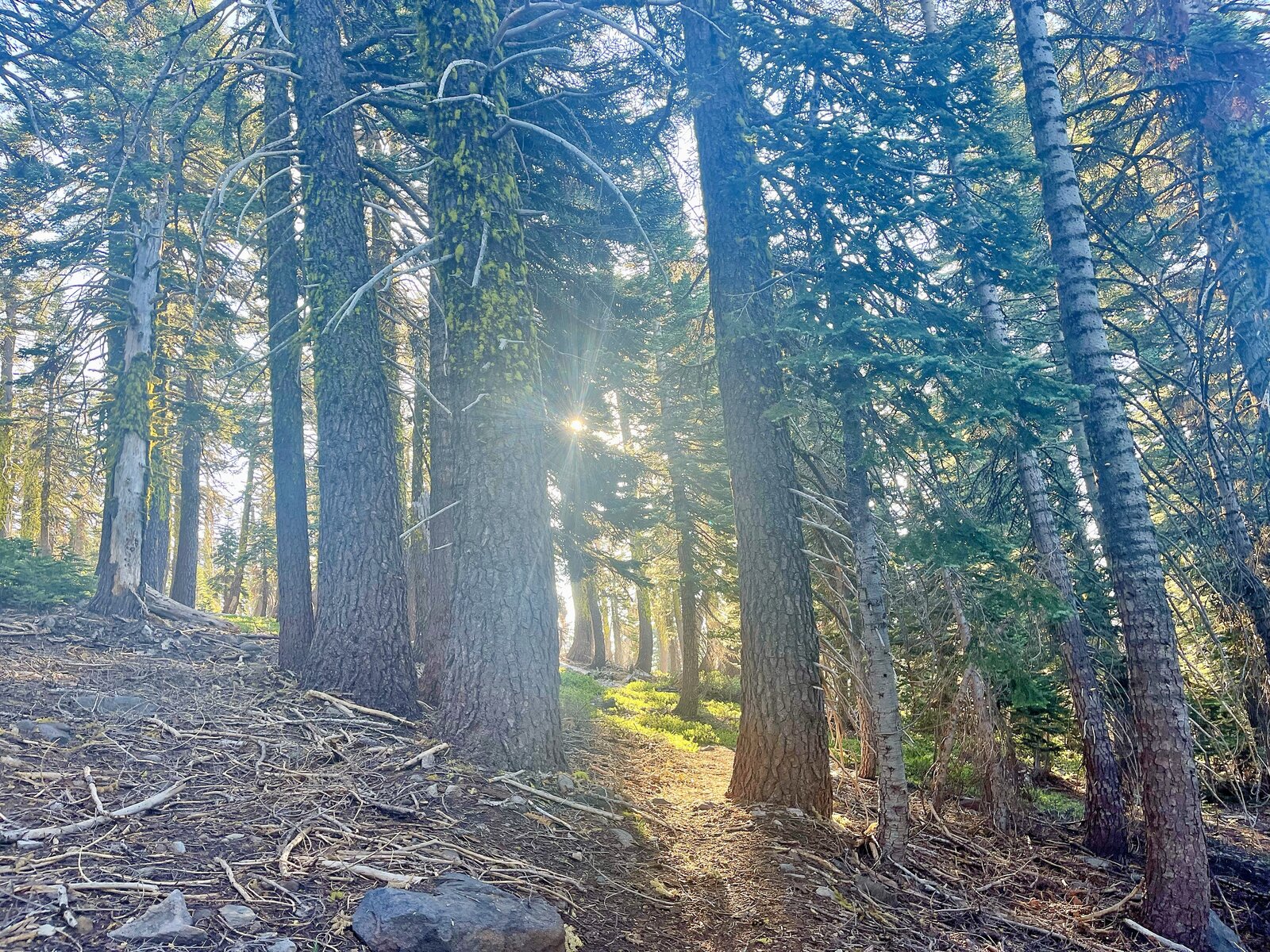
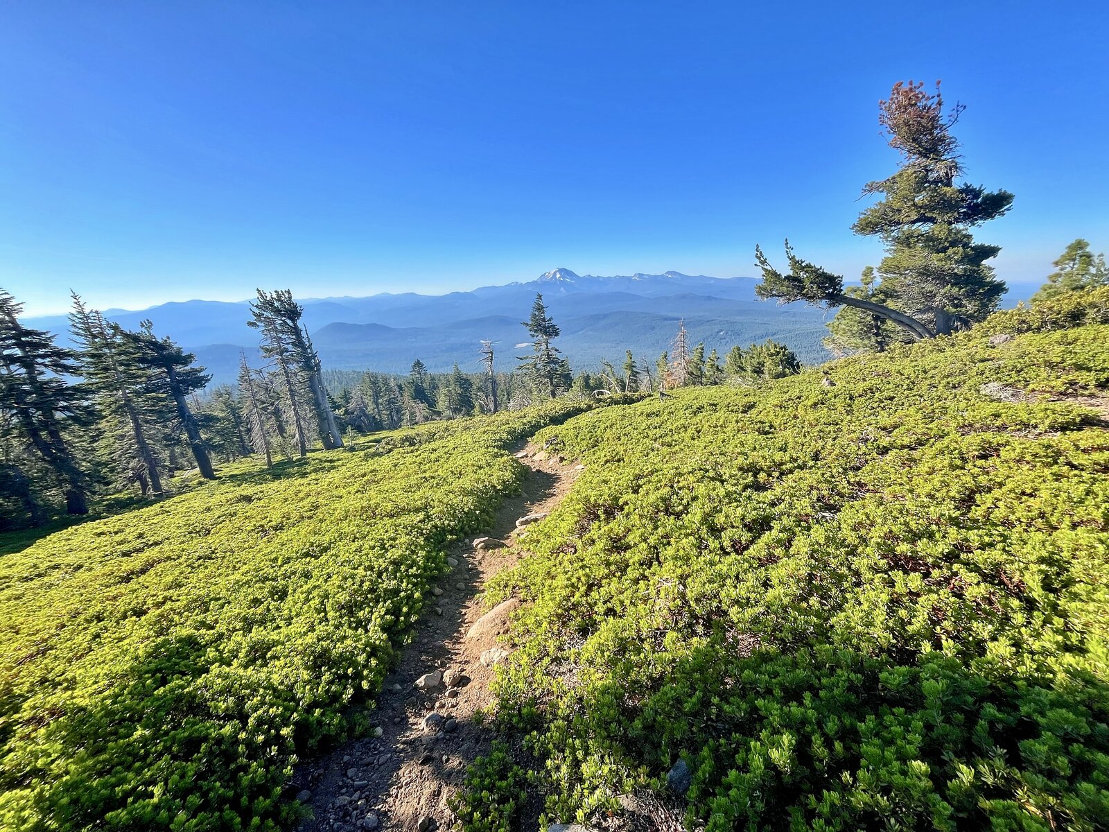
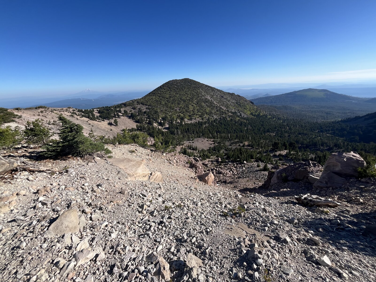
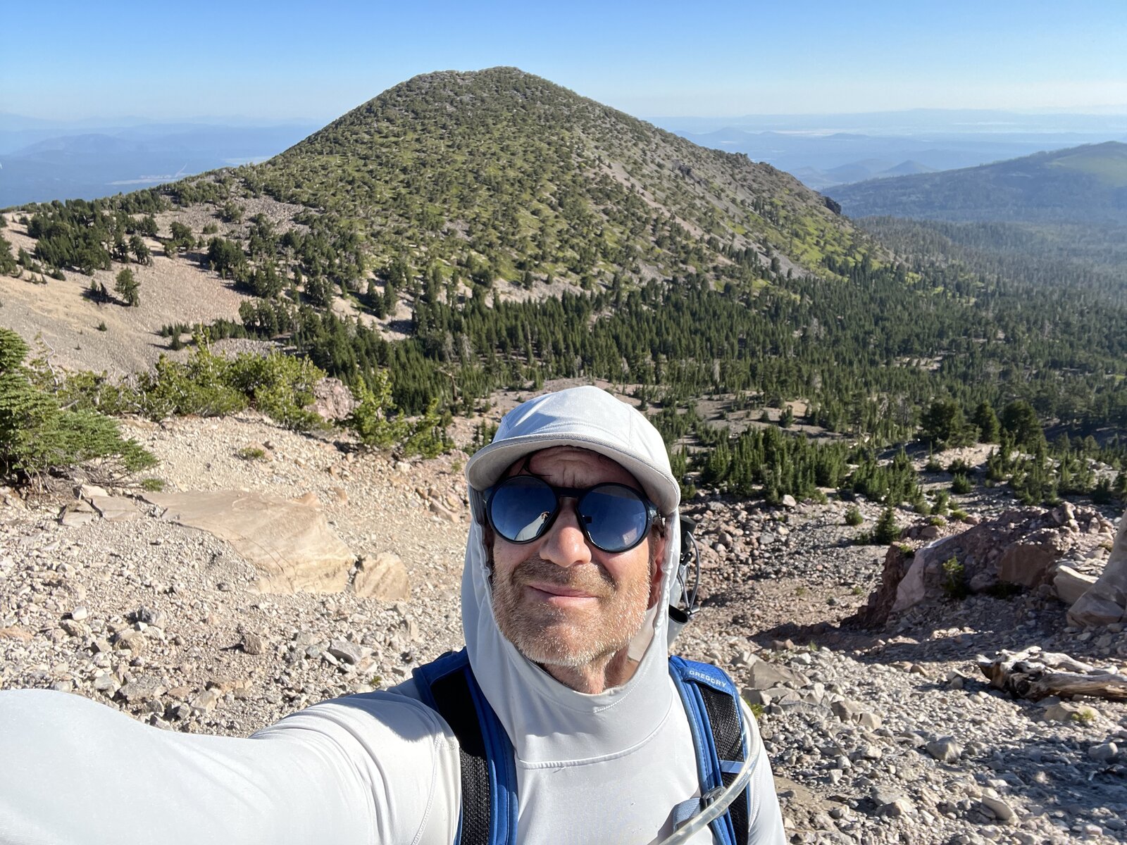
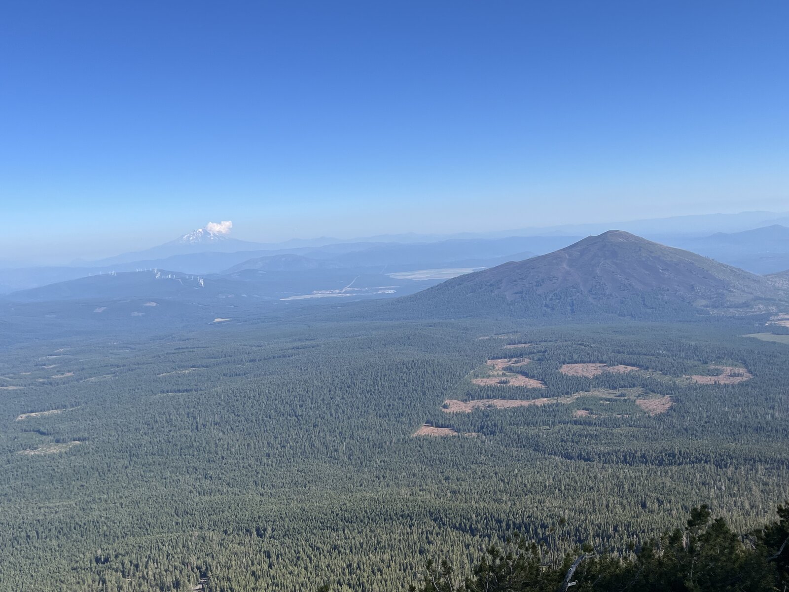
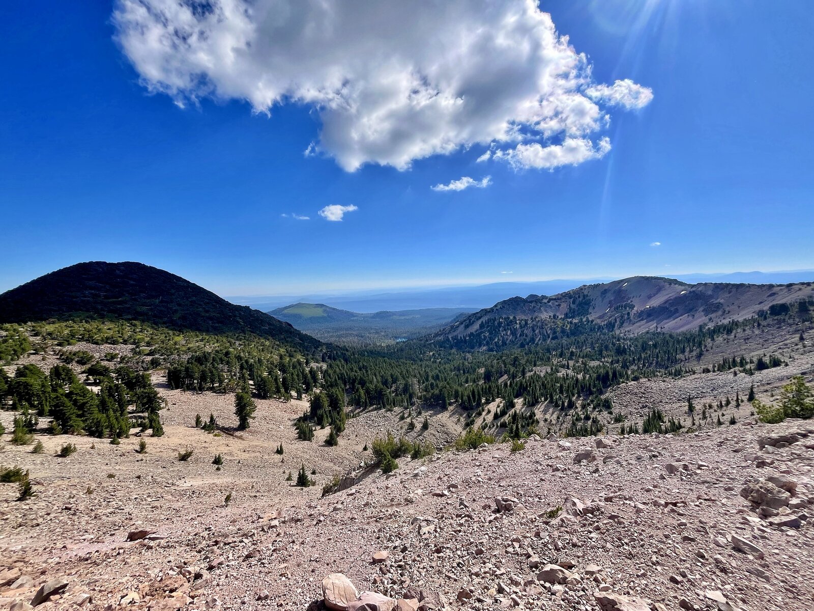
A morning scenic hike to two peaks at once, starting from the Cypress Trailhead and climbing steadily through a shaded forest of red and white fir before breaking out onto open, brushy slopes with the first real views back toward Mount Shasta. The trail climbs the flank of an old cinder cone that stands out sharply from the surrounding Thousand Lakes Wilderness, gaining the ridge between the two summits with almost no flat ground along the way.
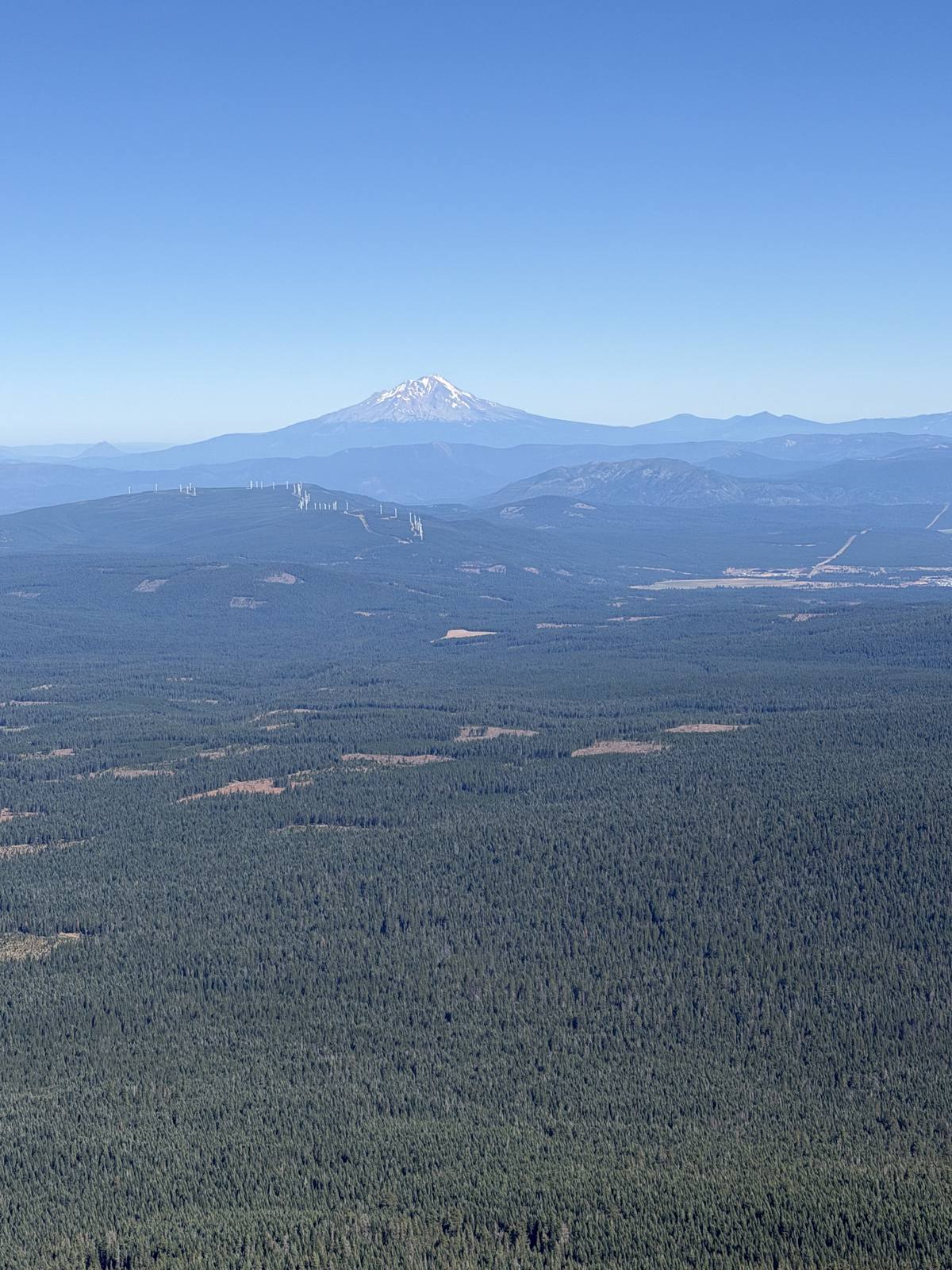
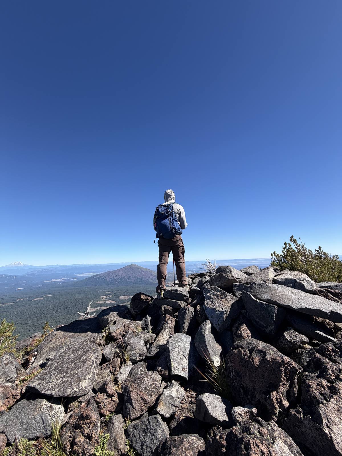
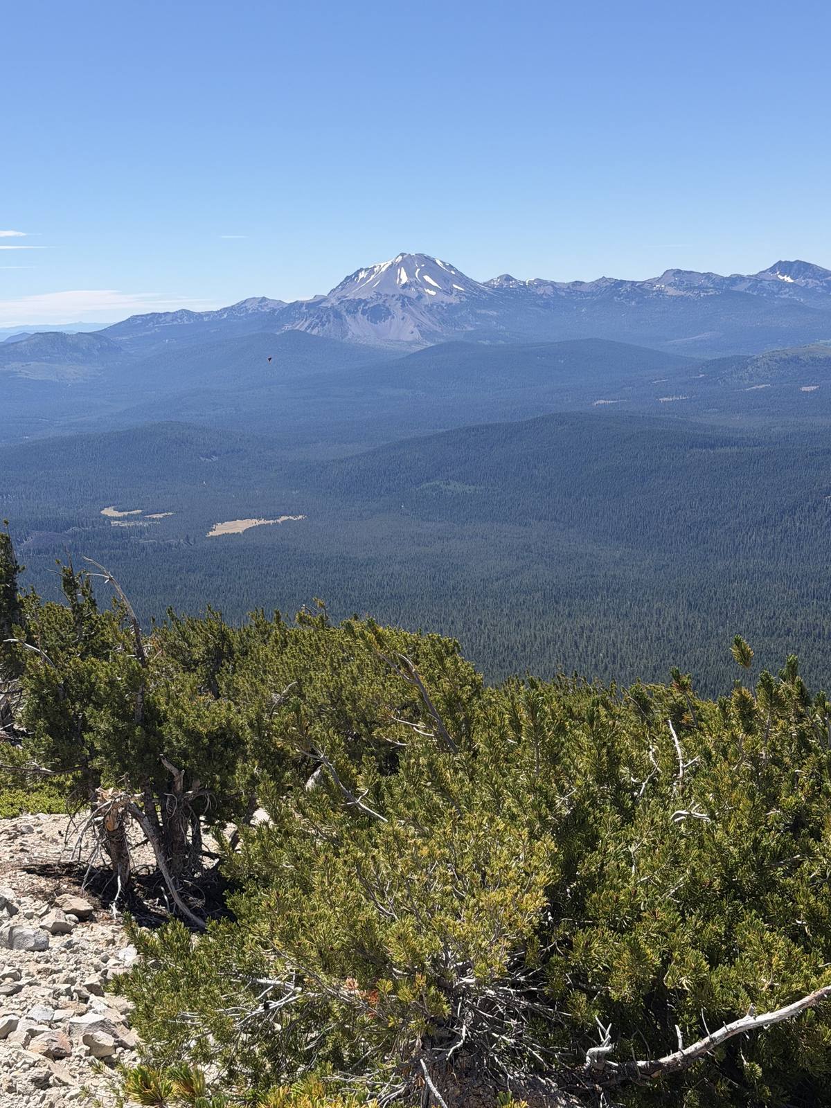
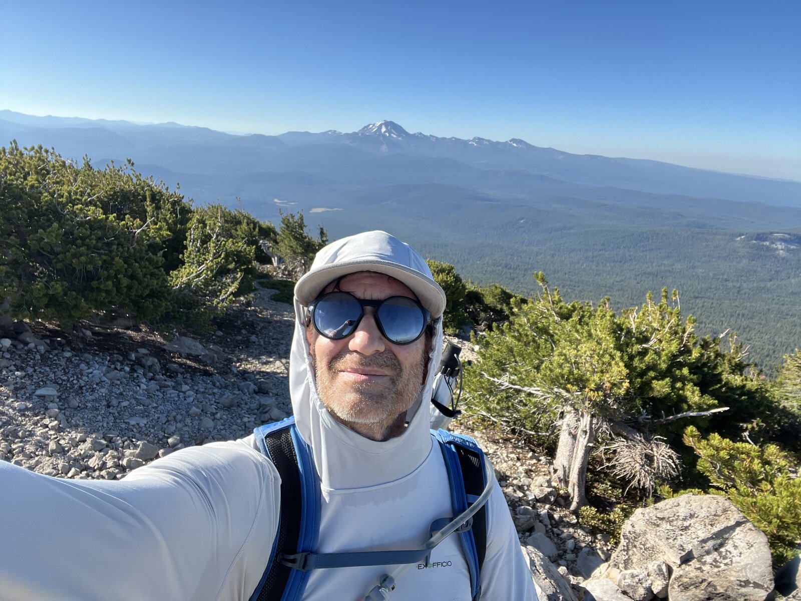
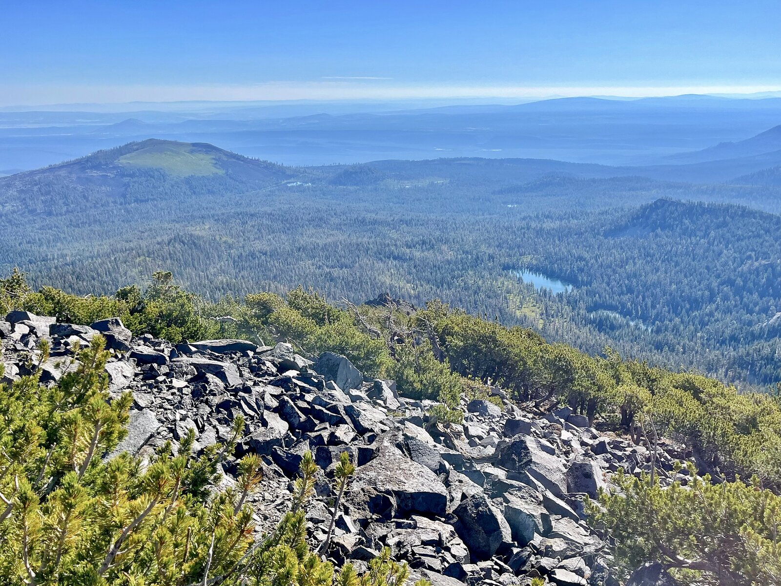
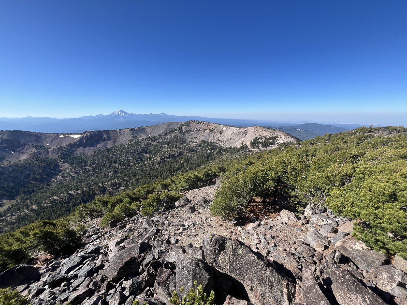
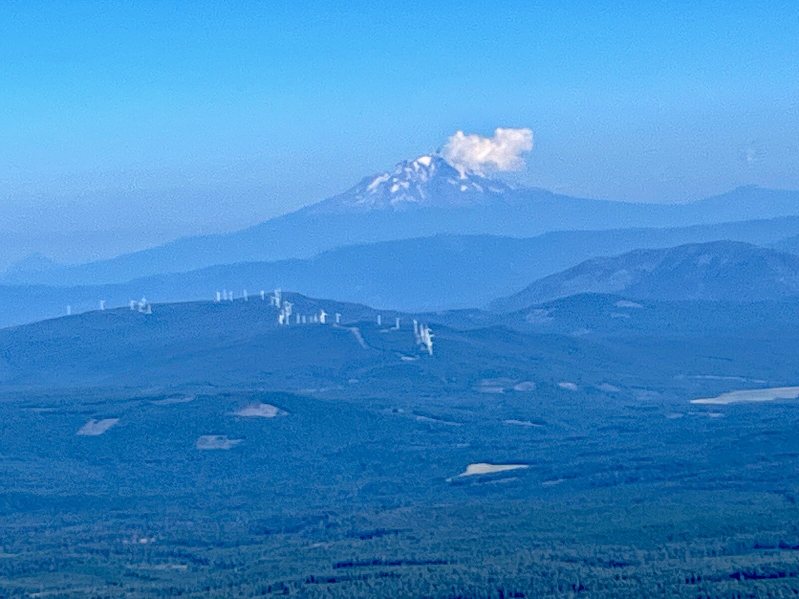
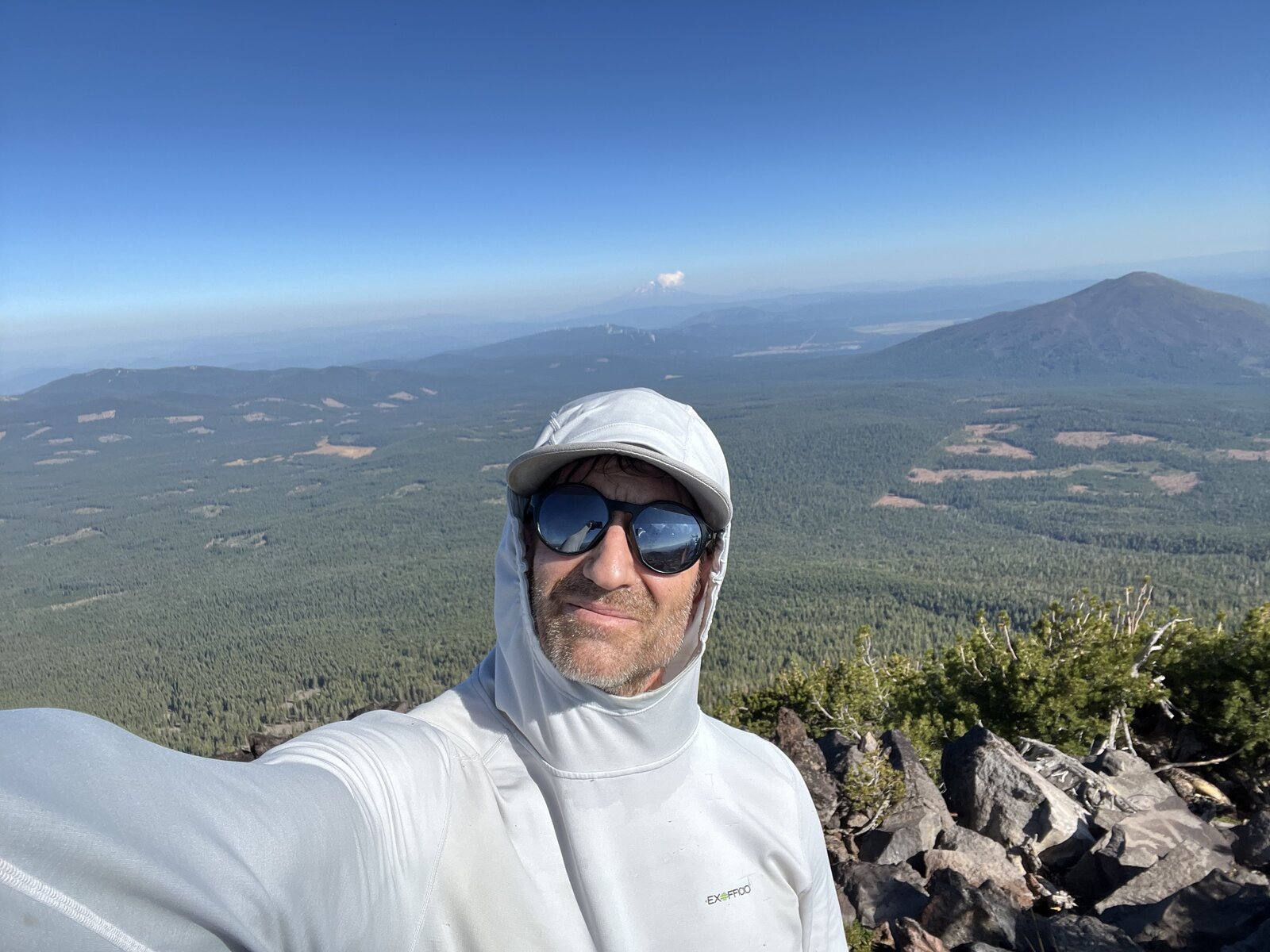
Magee Peak came first, its 8,549-foot summit giving a wide-open view back over the wilderness and a first glimpse of the Thousand Lakes area spread out below. From there the ridge walk over to Crater Peak was short but exposed, skirting the rim of the old crater with the terrain dropping away on both sides. Crater Peak's 8,683-foot summit is marked with a USC&GS benchmark disk, and the views from up there stretched out in every direction — forested wilderness, a scattering of lakes, and Mount Shasta rising clearly on the horizon despite the distance.
8.22 miles and 3,012 feet of gain made for a genuinely rewarding morning, two summits logged in a single push with barely any crowds out on this stretch of the Lassen backcountry. The descent wound back down through the same brush and timber, Shasta staying visible for long stretches before the trail finally dropped back into the trees for good.
Comments