Black Butte
Third Ascent — August 15, 2026 — Most Recent
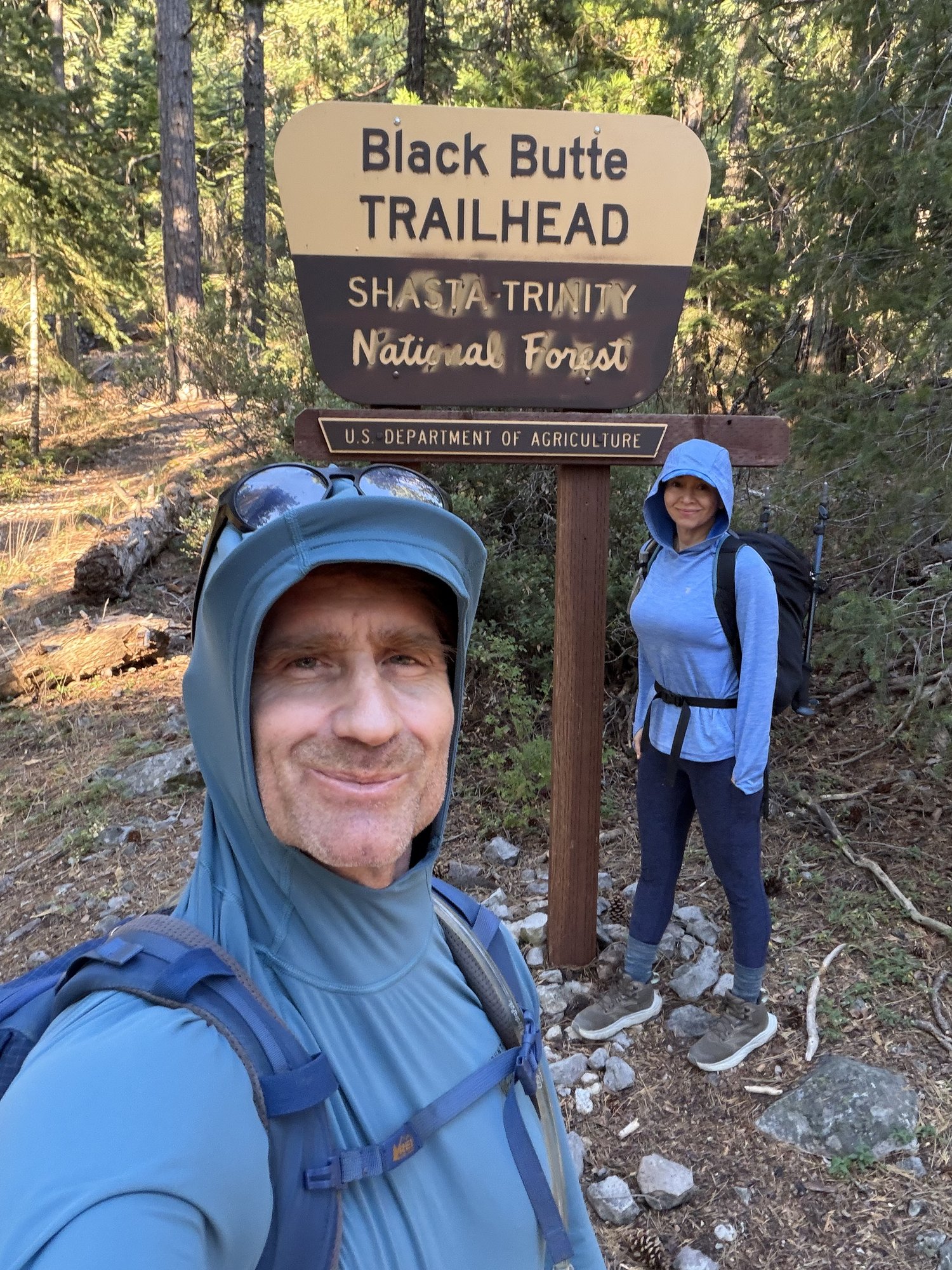
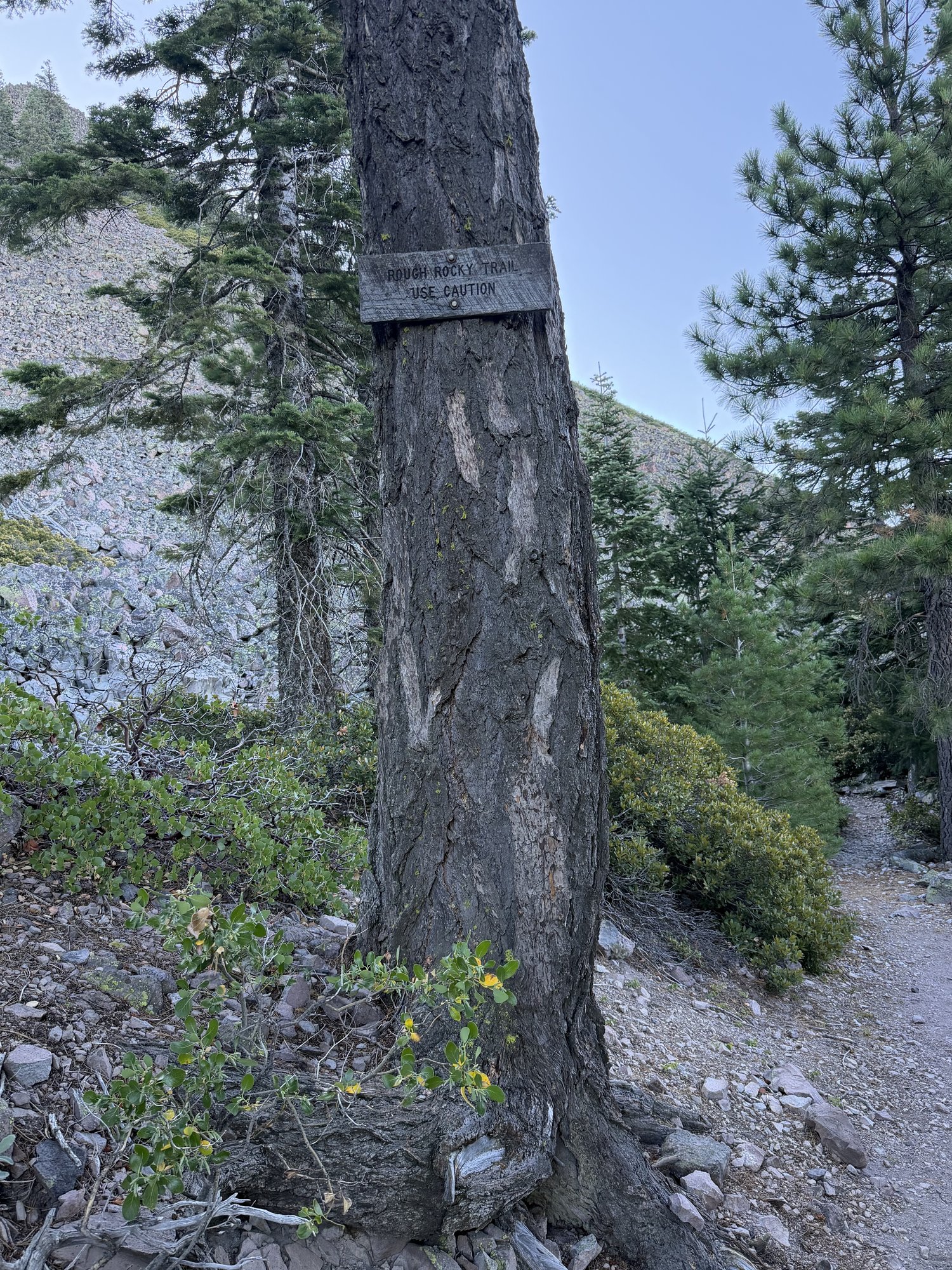
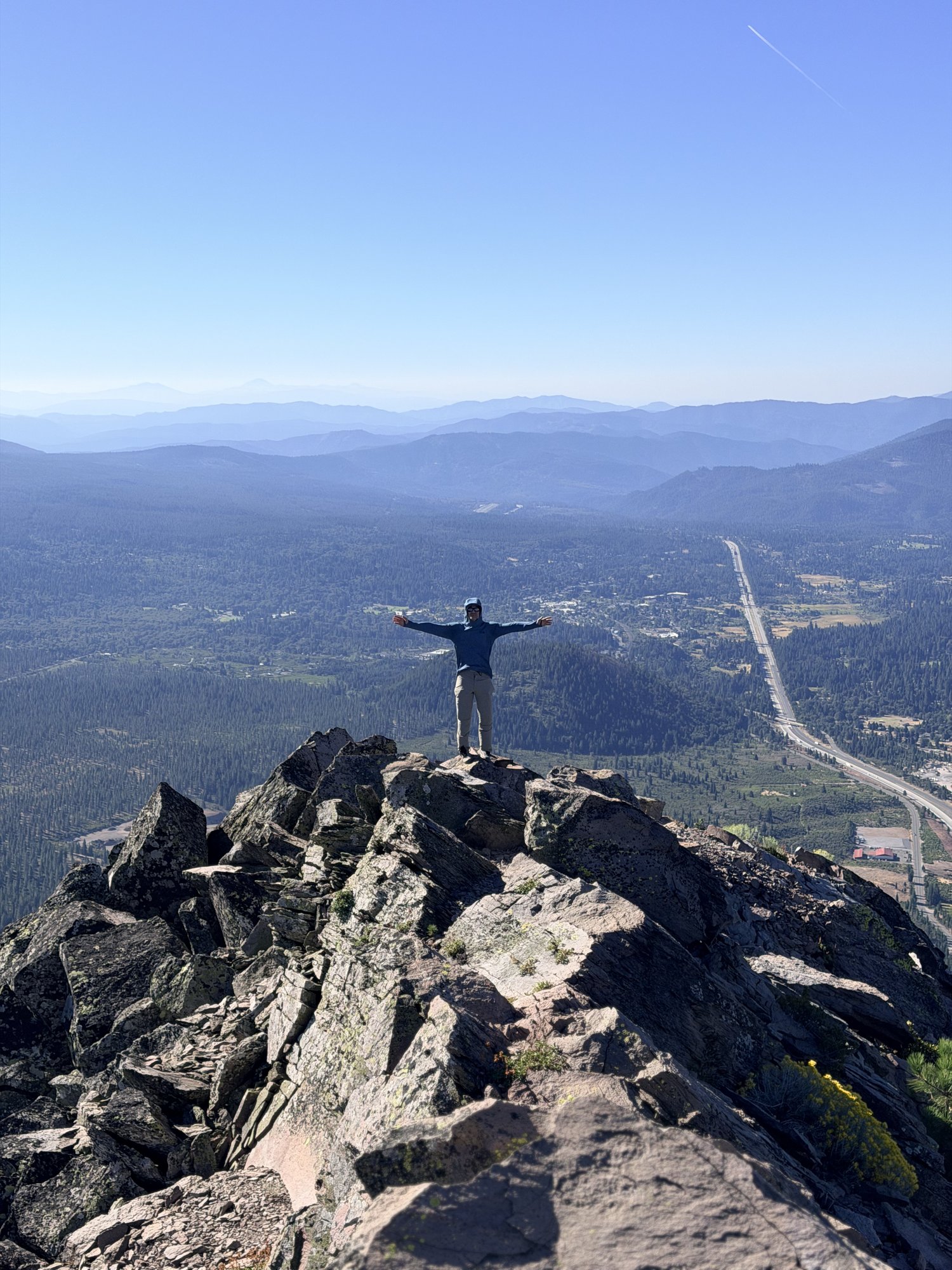
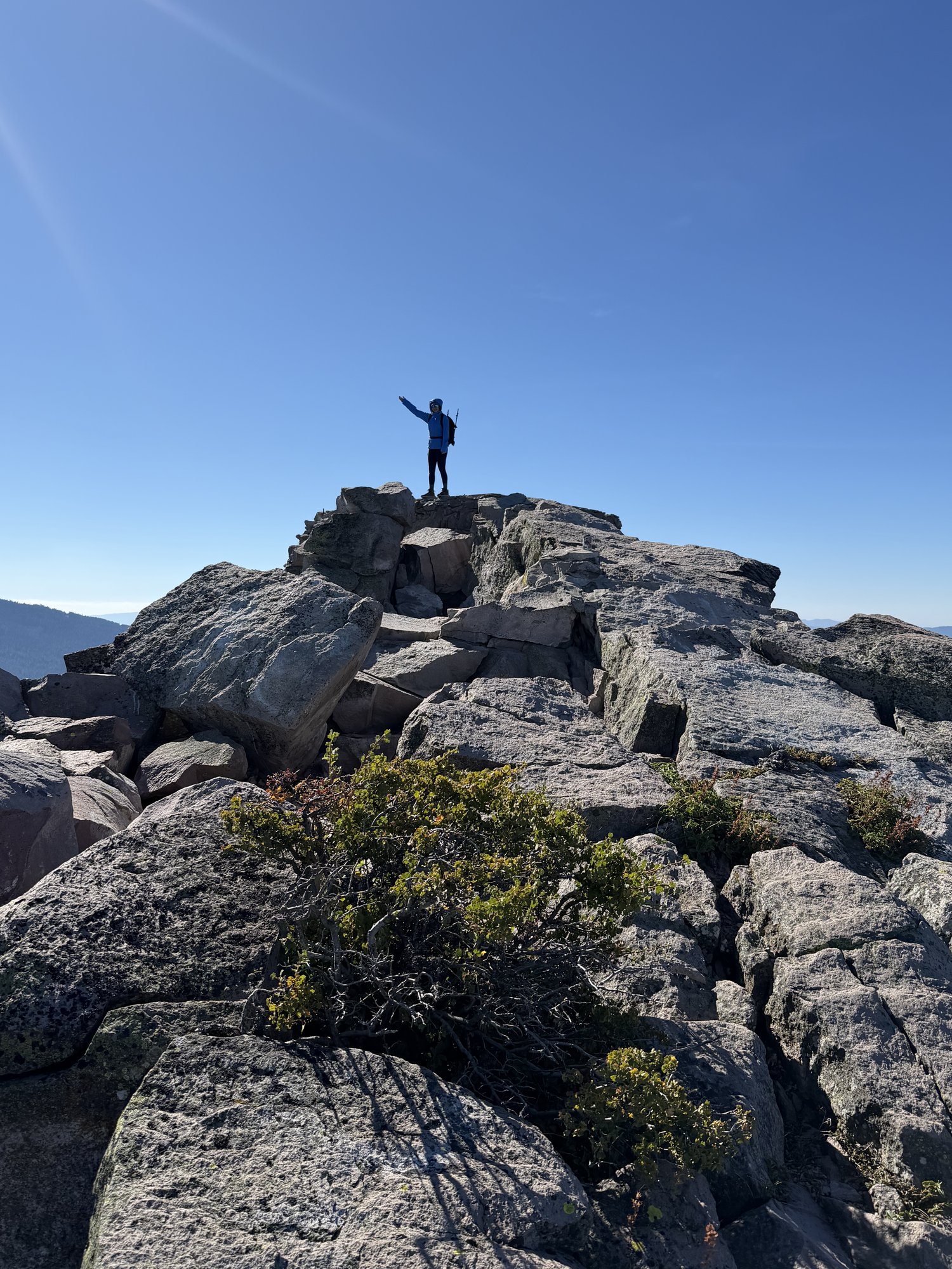
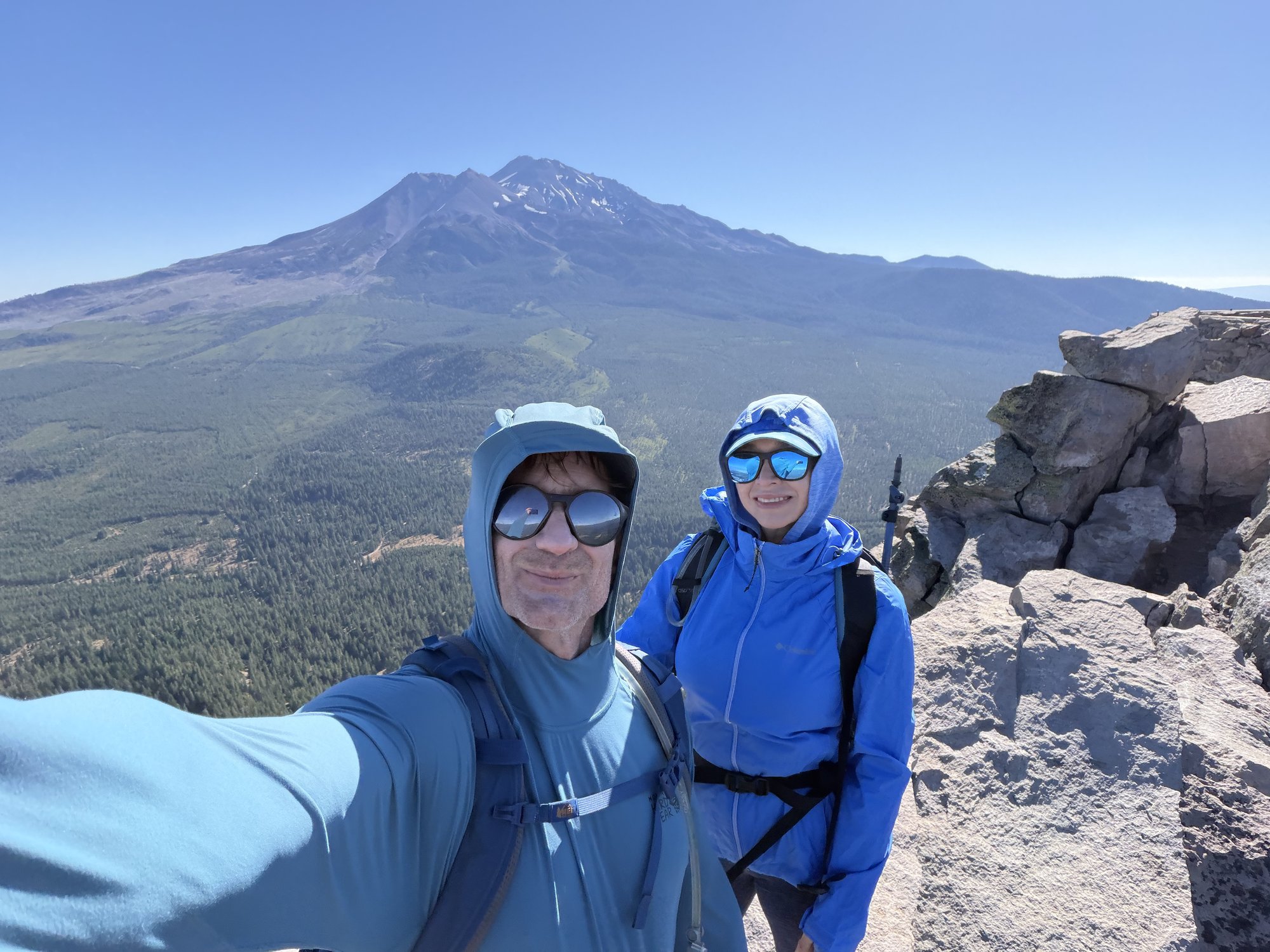
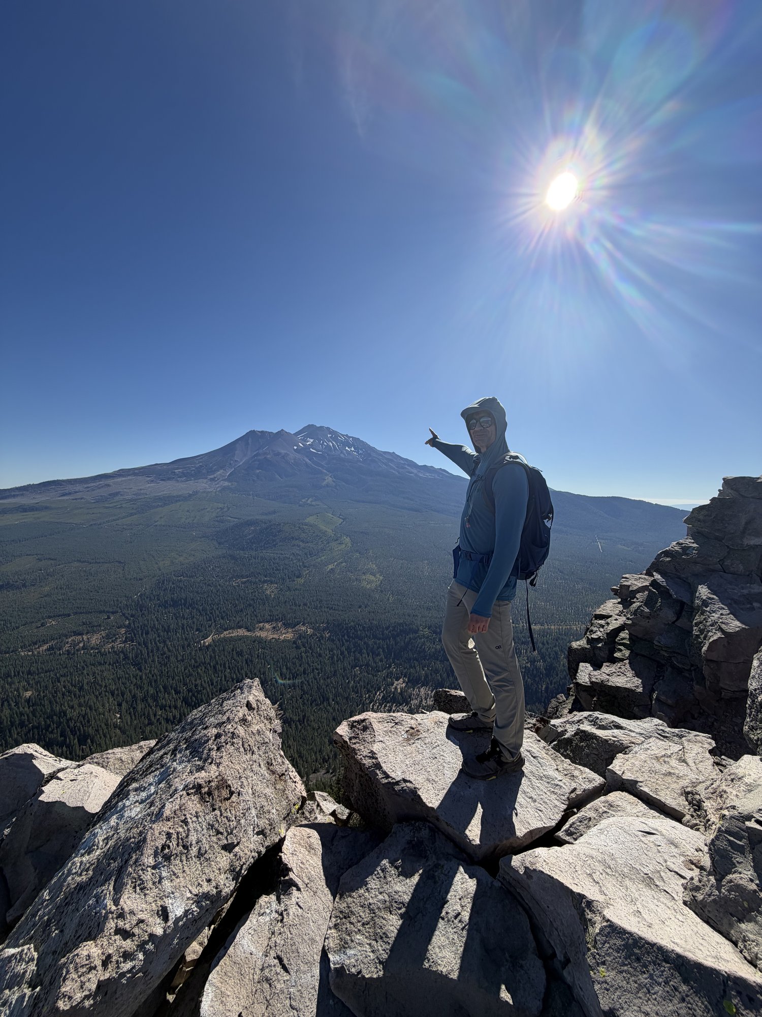
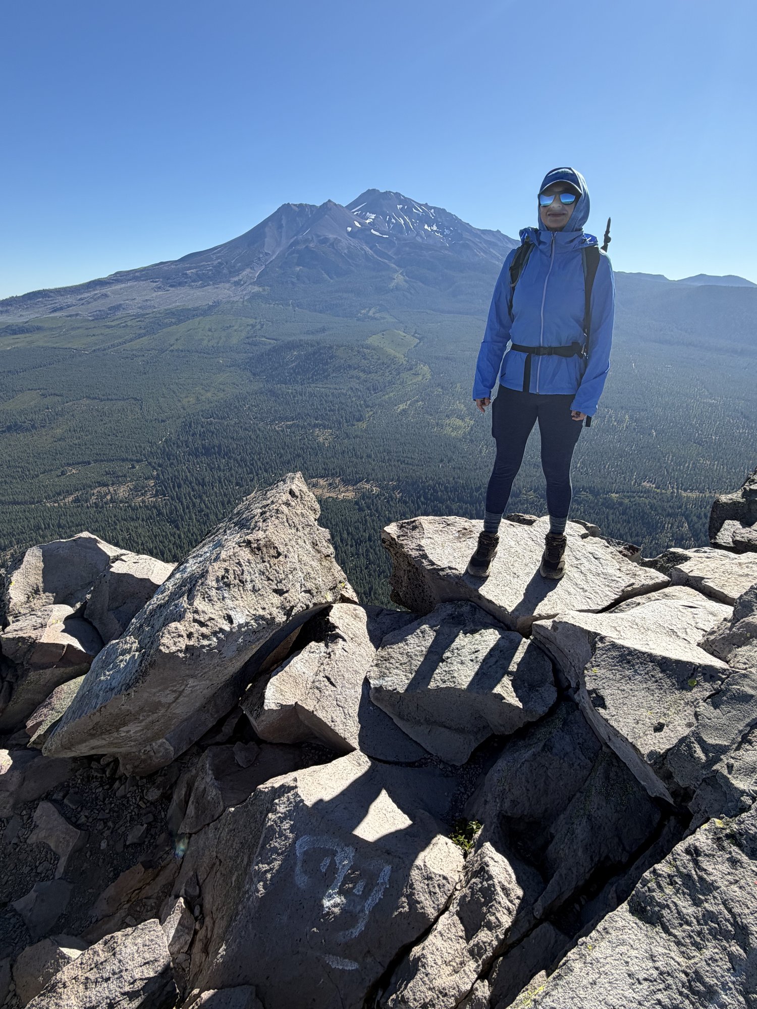
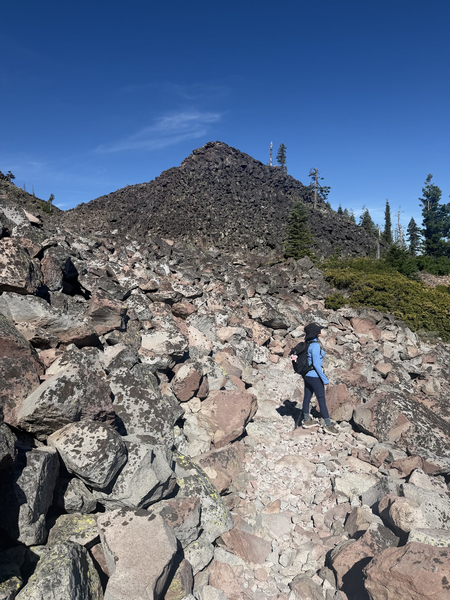
Back up Black Butte on a windy August day — gusts strong enough on the summit rocks to make just standing still for photos a genuine effort, a real change from the usual hazy, still summer air over the valley. The trail lived up to its own warning sign partway up: a hand-lettered "ROUGH ROCKY TRAIL — USE CAUTION" placard nailed right to a tree, which undersold it a little.
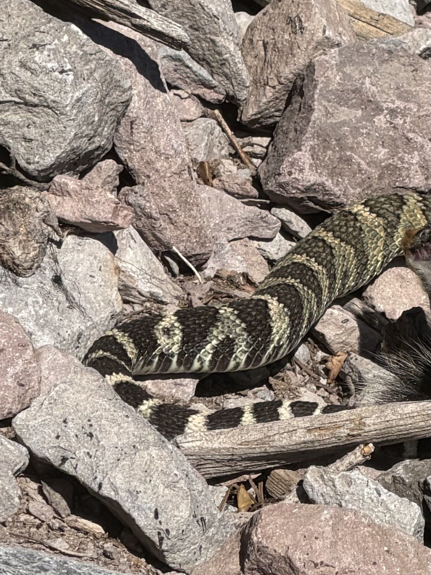
A close call on the switchbacks lower down — a rattlesnake stretched across the rocky trail, banded tail and all, close enough to earn a wide, careful step around rather than a photo taken lightly. A good reminder that a south-facing volcanic talus slope in August is still very much rattlesnake country.
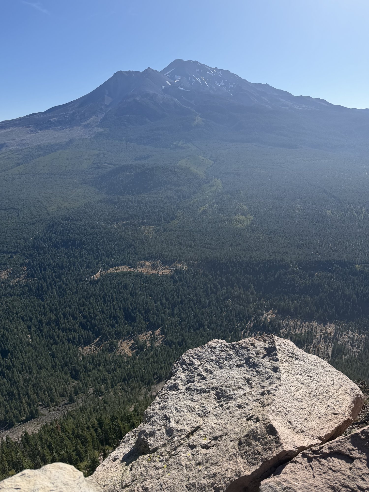
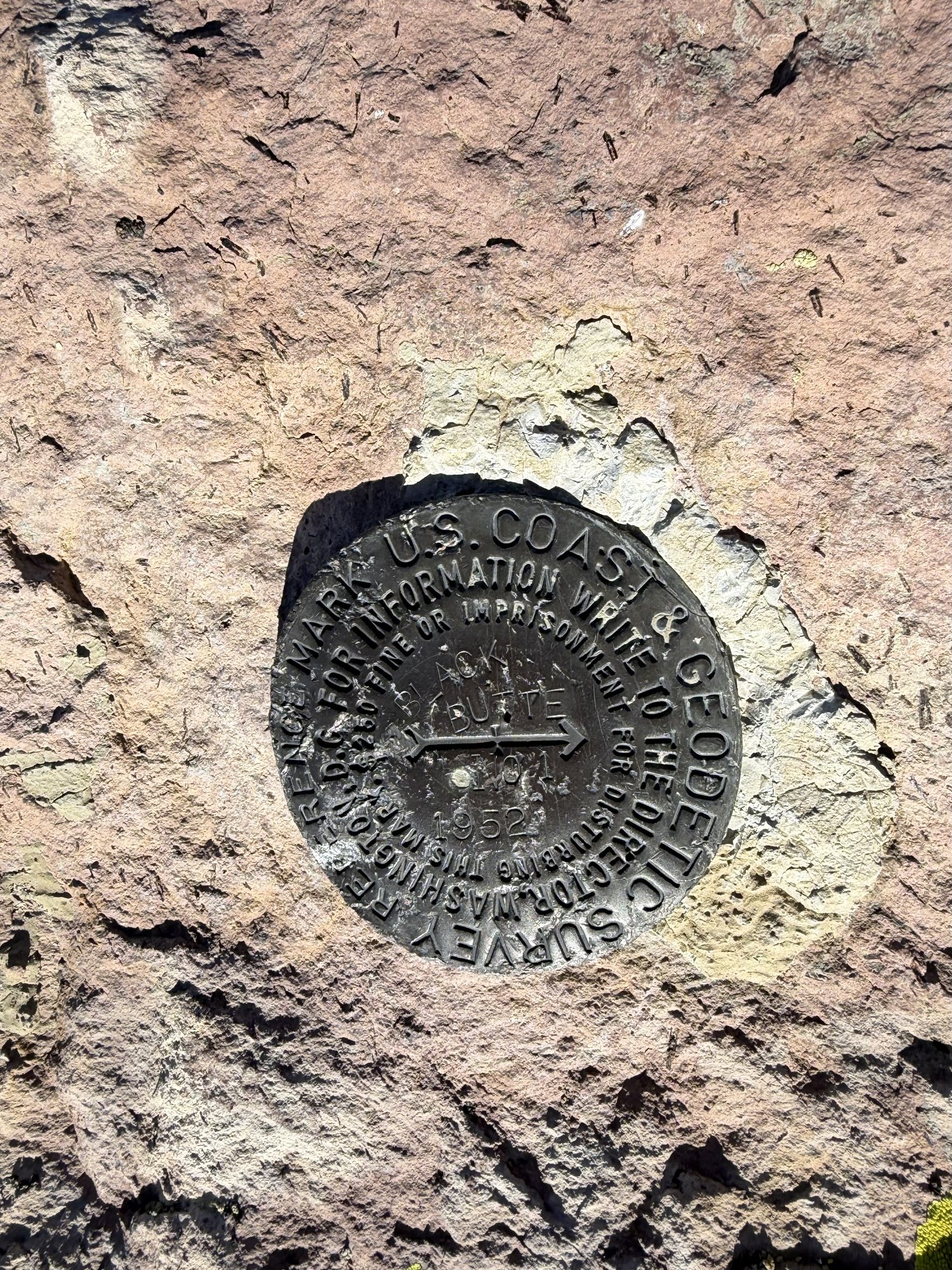
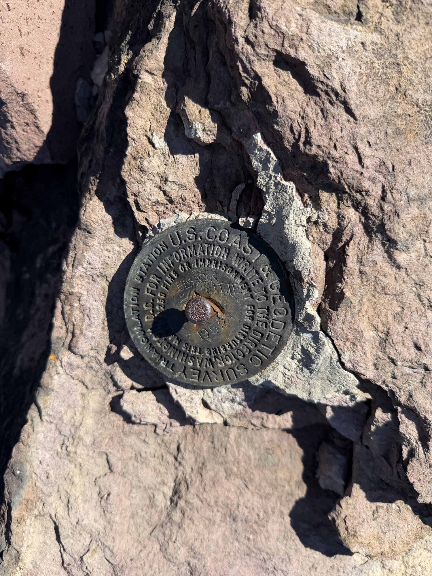
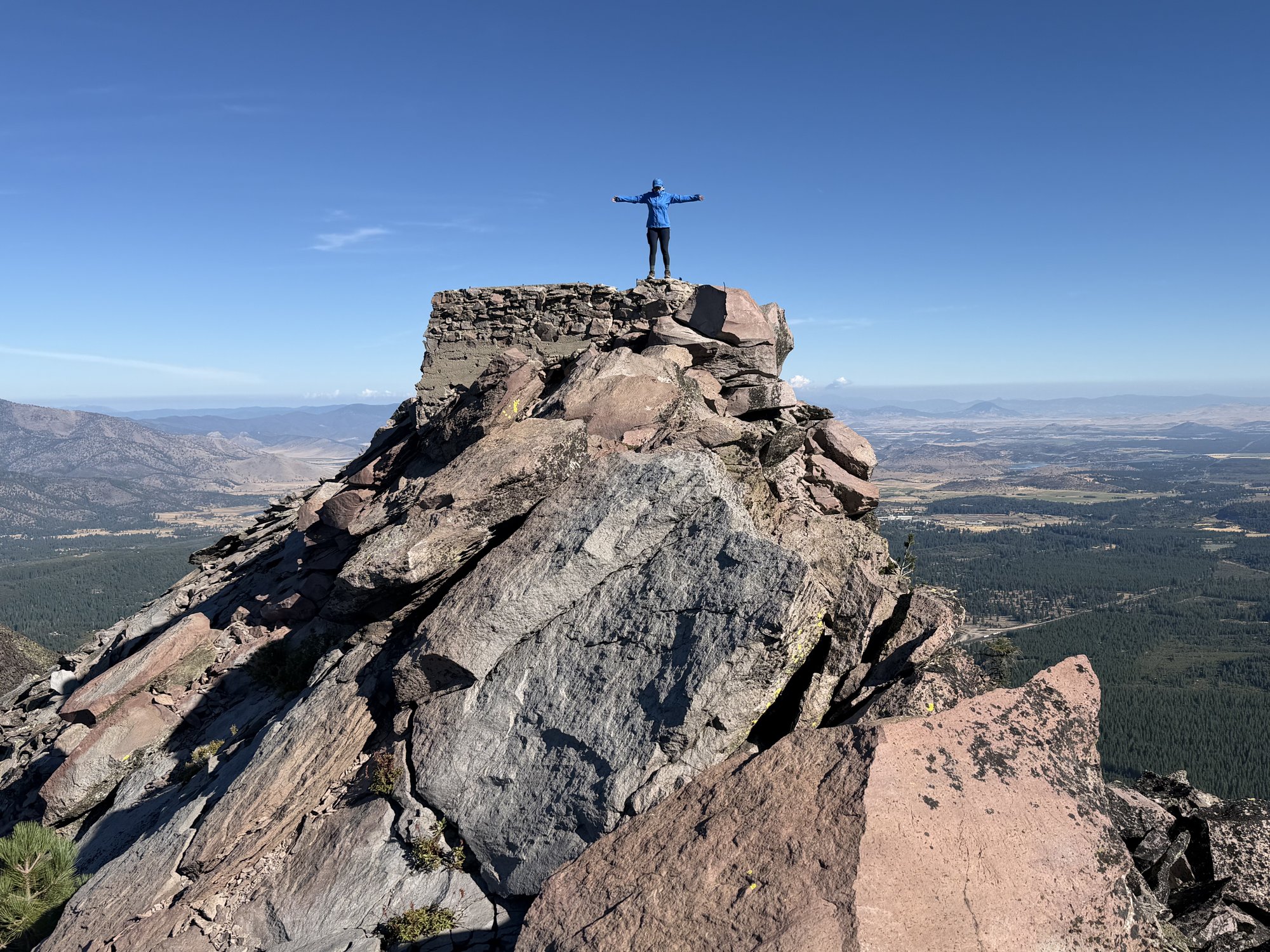
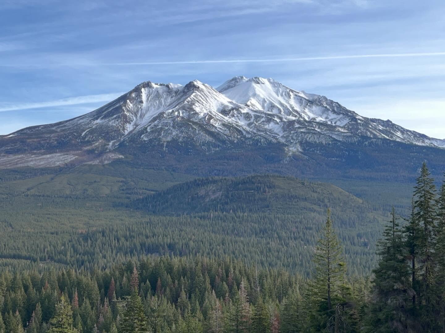
The summit paid off the wind and the snake with two different survey markers bolted into the rock up top — a 1952 U.S. Coast & Geodetic Survey reference mark and a separate triangulation station disk a few feet away, both easy to miss if you're not looking down at the rock instead of out at the view. Mount Shasta filled the eastern skyline as close and clear as ever, a bit of snow still holding on near its own summit.
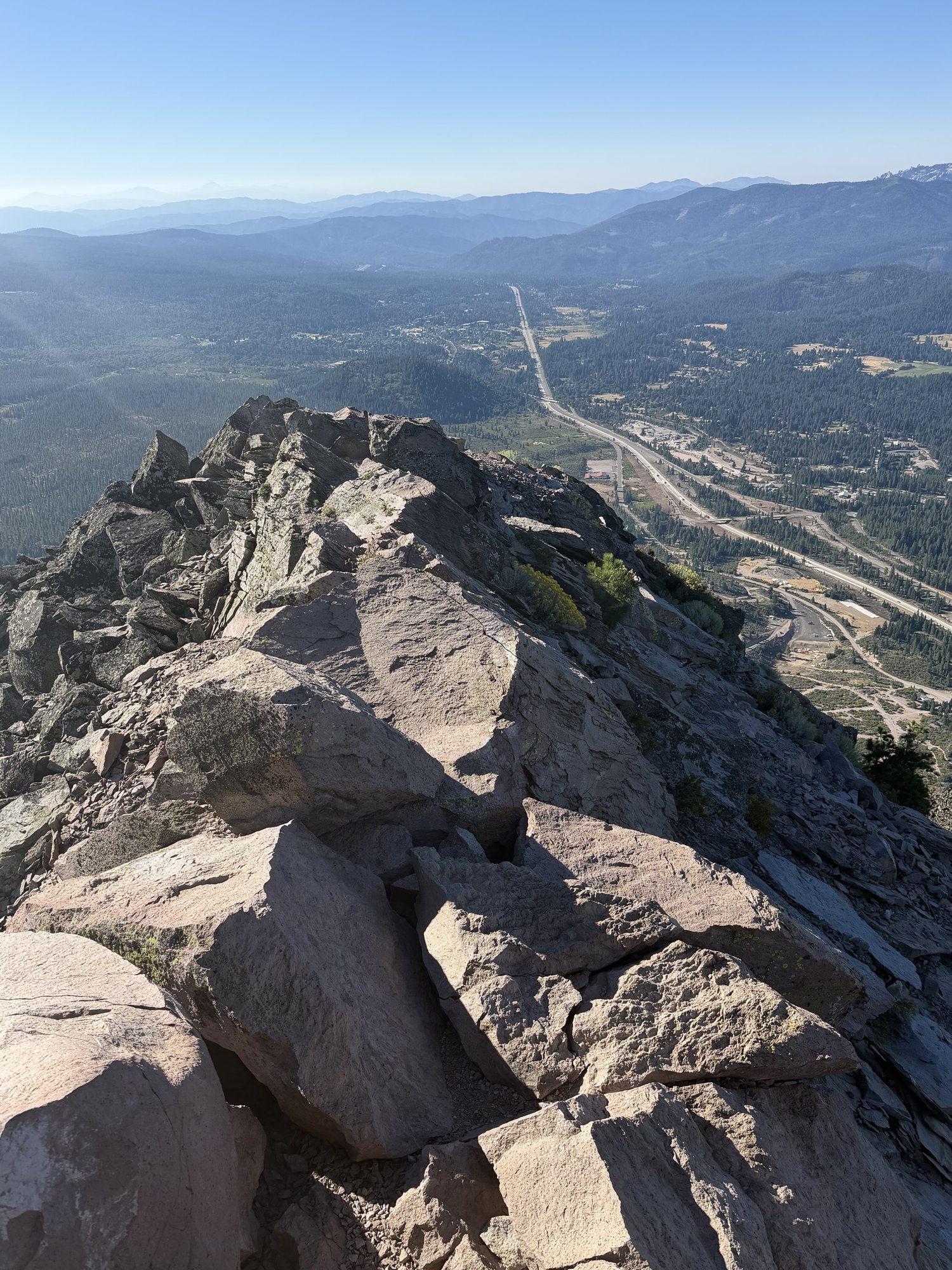
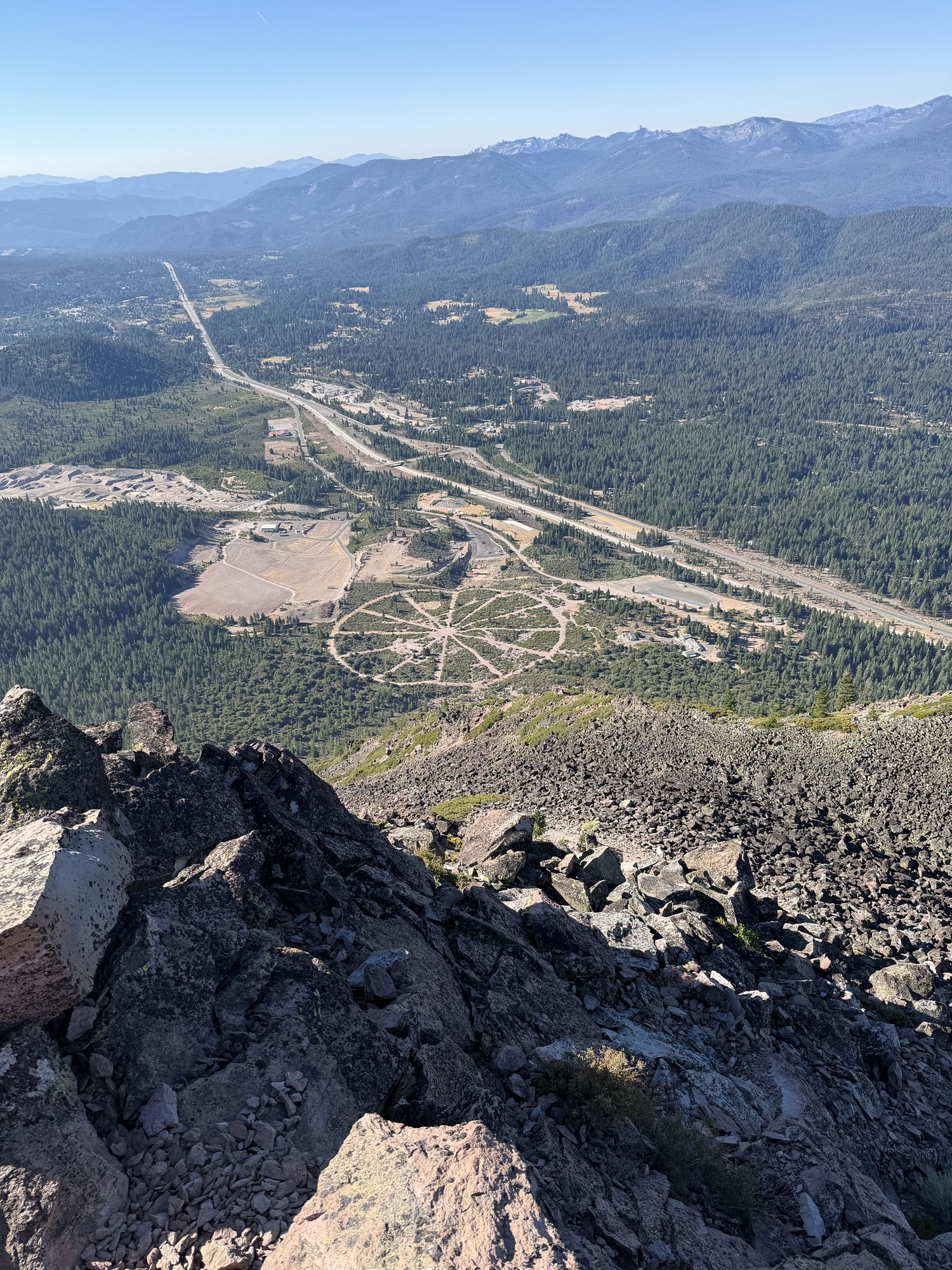
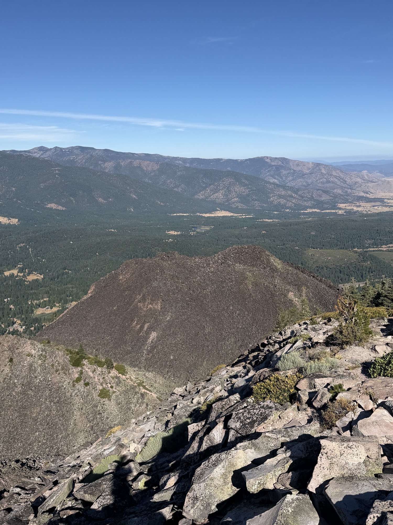
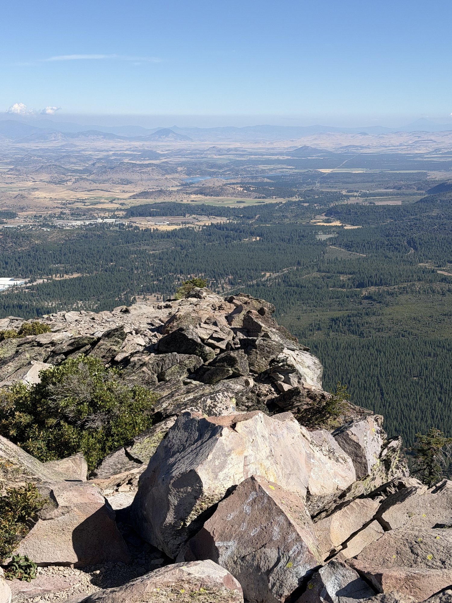
The strangest thing of the day was looking down from the summit into the valley near the freeway and spotting a genuinely odd circular pattern cut into a clearing — spokes radiating out from a center point like a wheel. No idea what it actually is, but it was the first thing brought up on the hike back down.
Windy, rocky, rattlesnake included — but still one of the most reliable short summits around Redding, and Shasta never gets old from up there.
Second Ascent — October 19, 2024
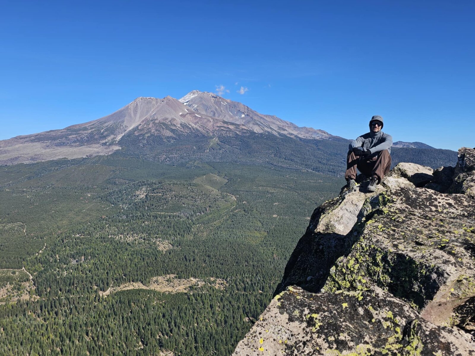
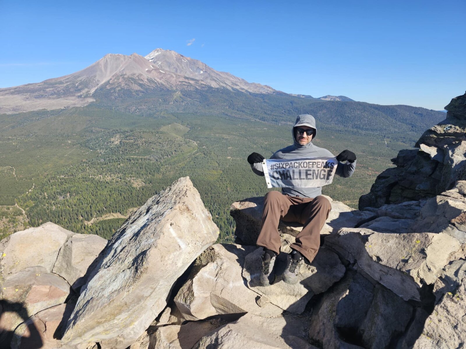
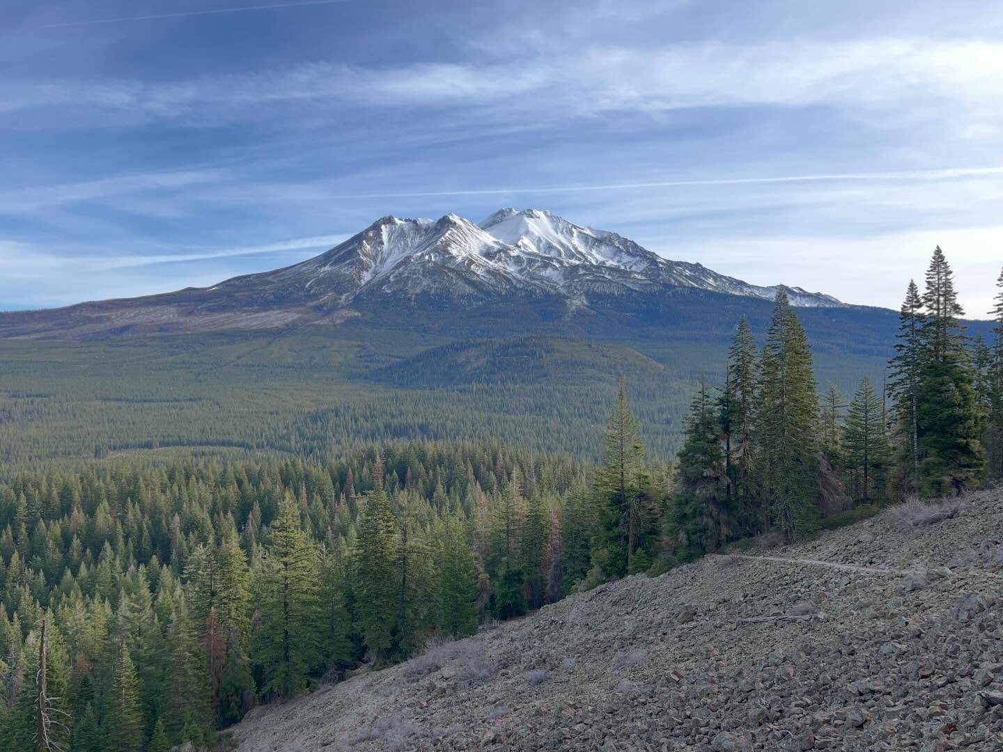
Back up Black Butte, this time as one of the six peaks in the Northern California Six-Pack of Peaks Challenge — a good excuse to climb it again with a banner in hand for the summit photo. Same well-graded switchbacks up through scattered timber and out onto the open talus, but a completely different feel from the first winter ascent: clear, mild fall weather instead of cold and low winter light.
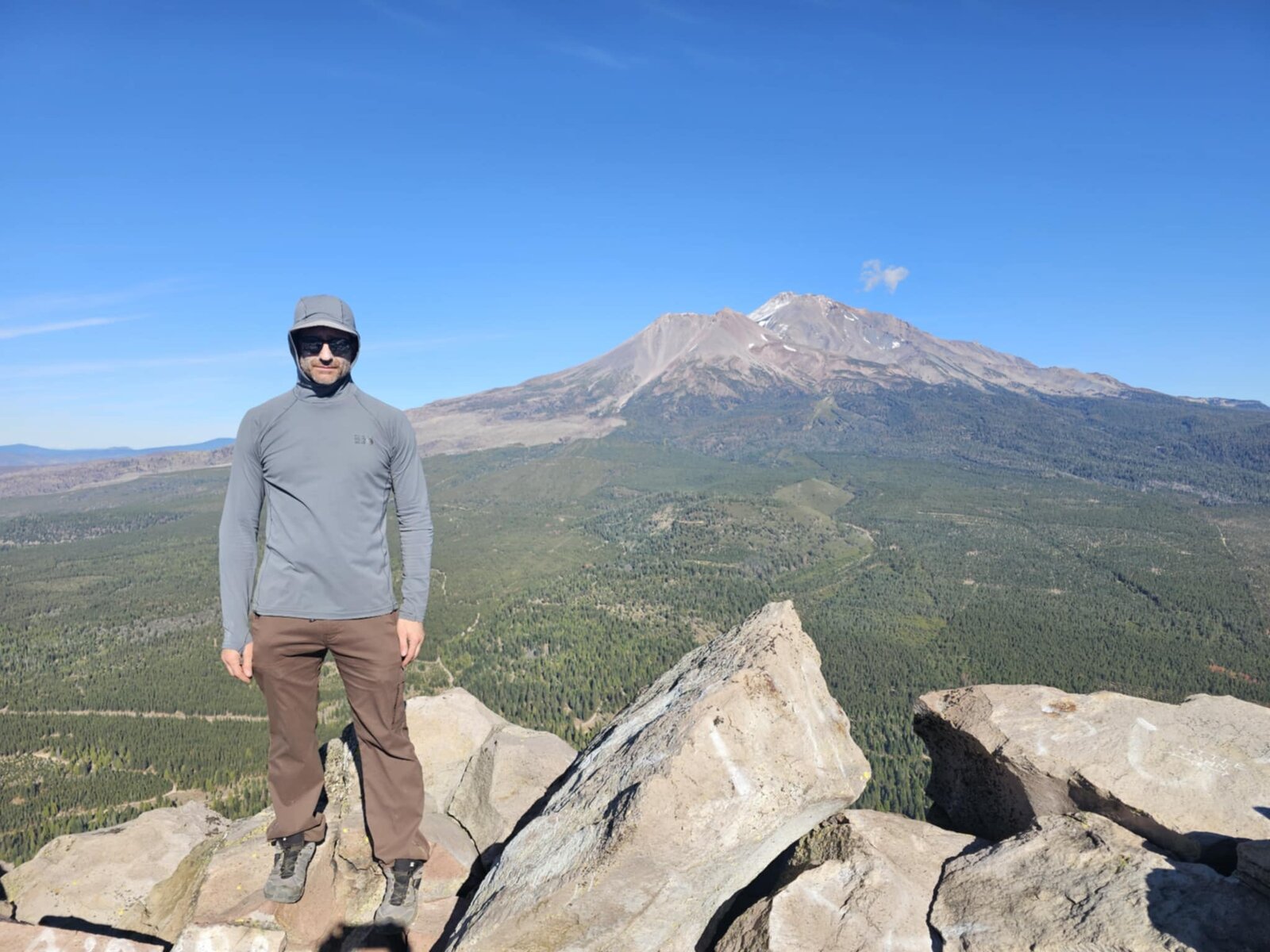
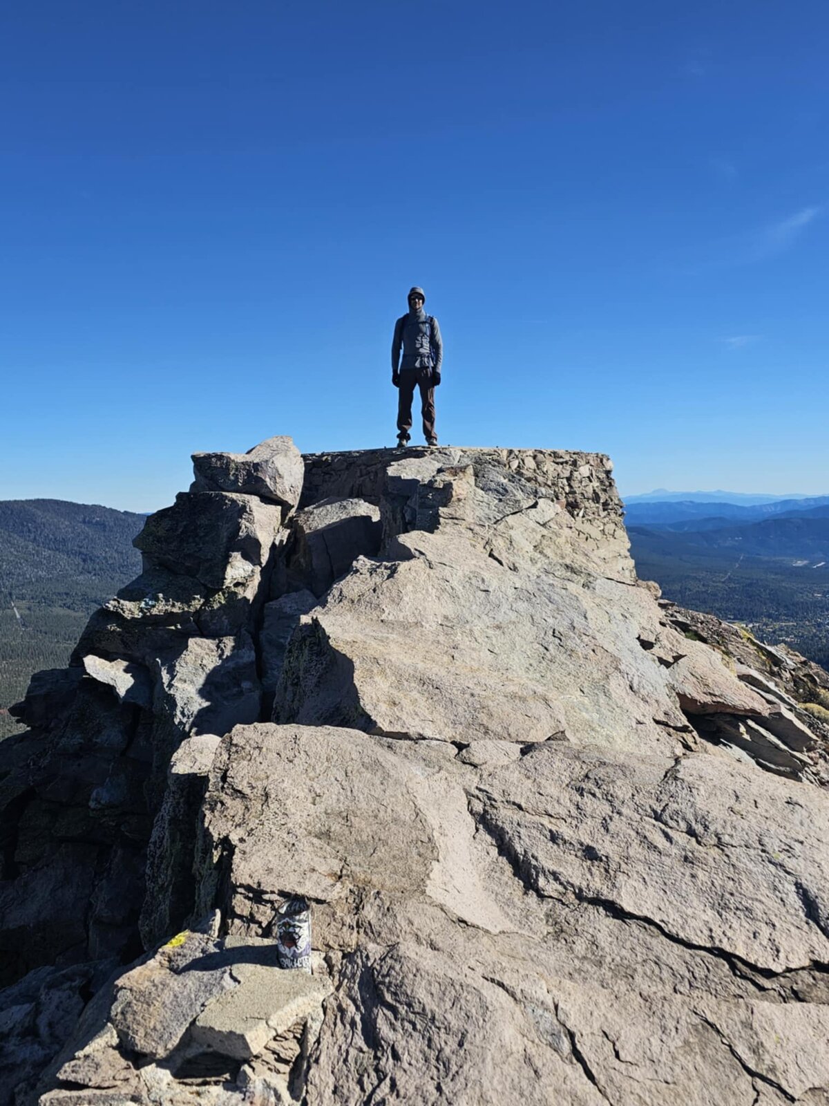
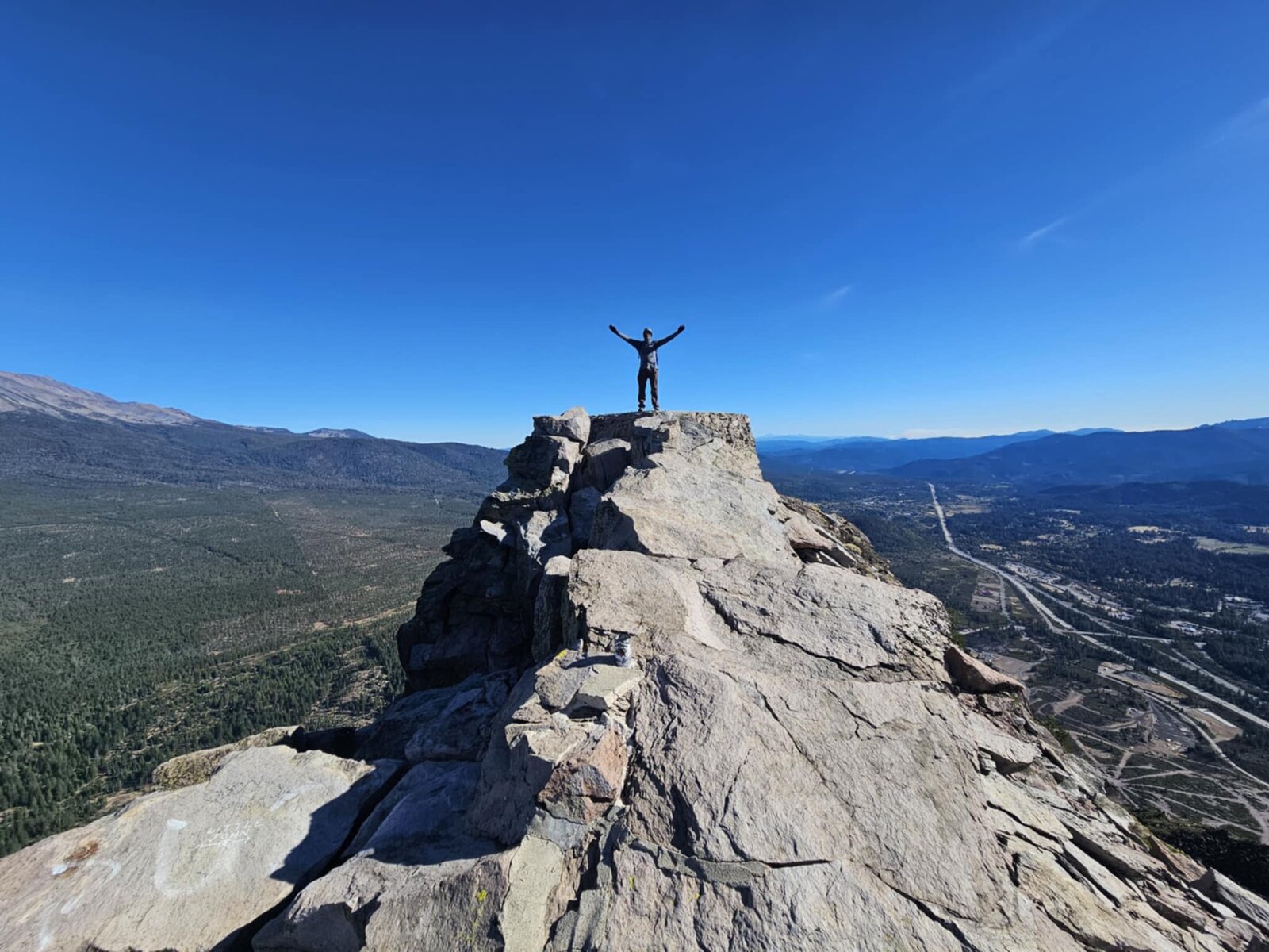
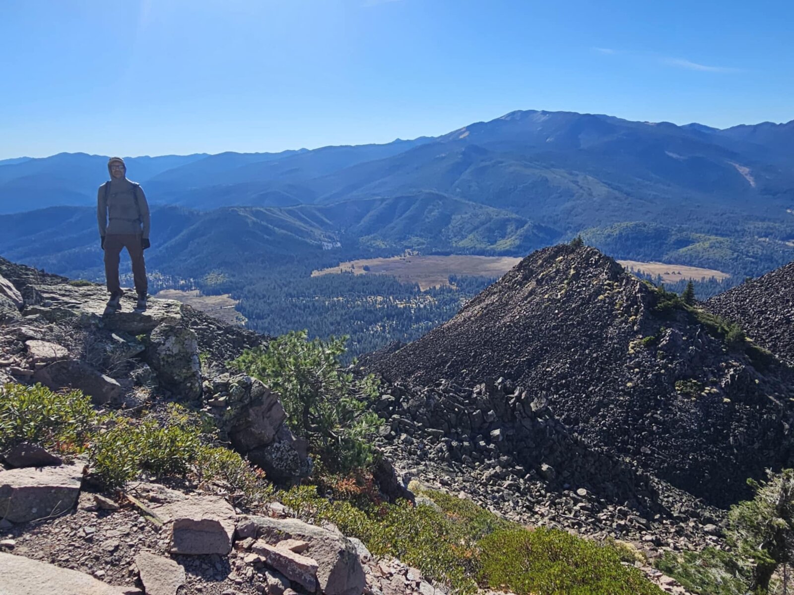
The true summit is a small cluster of rock outcrops just big enough for one person at a time, with Mount Shasta filling the entire eastern skyline close enough to feel its scale. Sat right on the highest block for the six-pack banner photo, then worked around the summit rocks for a few different angles — the town of Mount Shasta and I-5 laid out below to the south, and Mount Eddy and the Trinity Divide rolling away to the west in the other direction.
The register box marking the true high point was tucked right into the rocks at the very top, a nice detail easy to miss on a first visit. A short, steep little mountain, but a genuinely different experience the second time around — better light, better views, and one more box checked toward the six-pack finish.
First Ascent — December 15, 2023
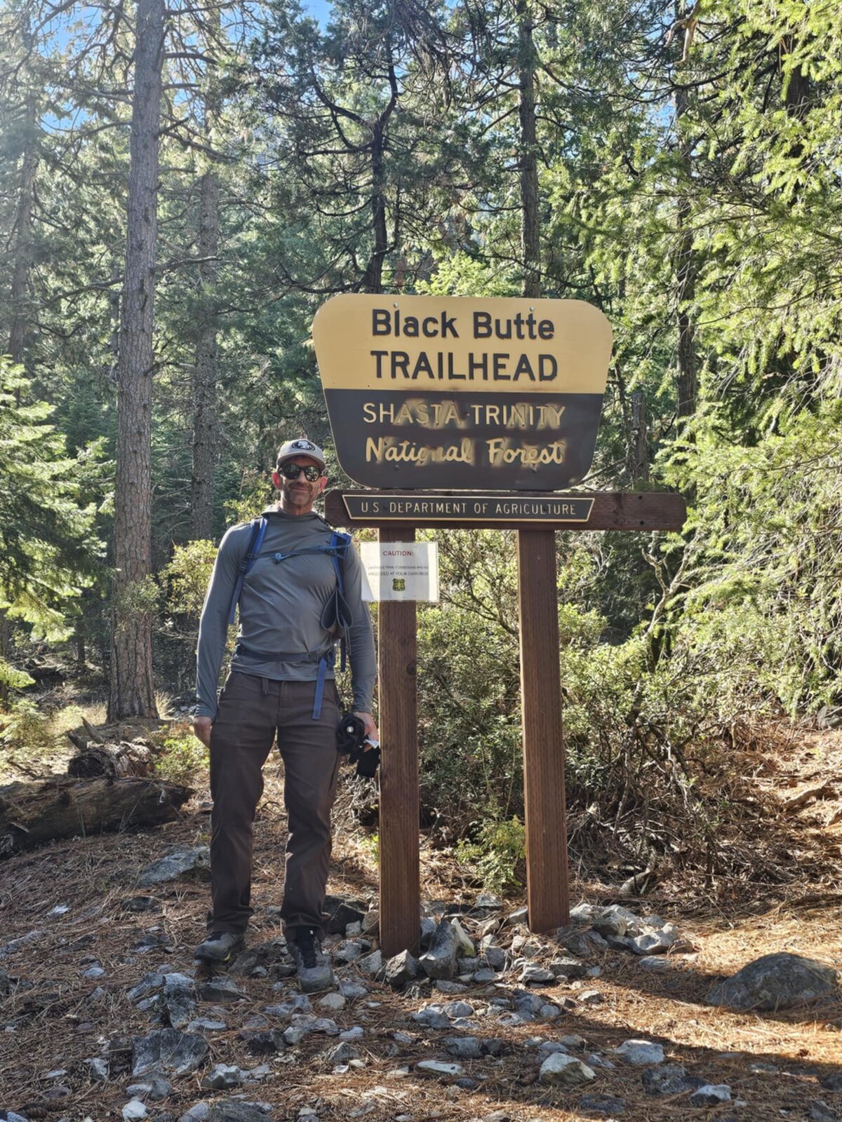
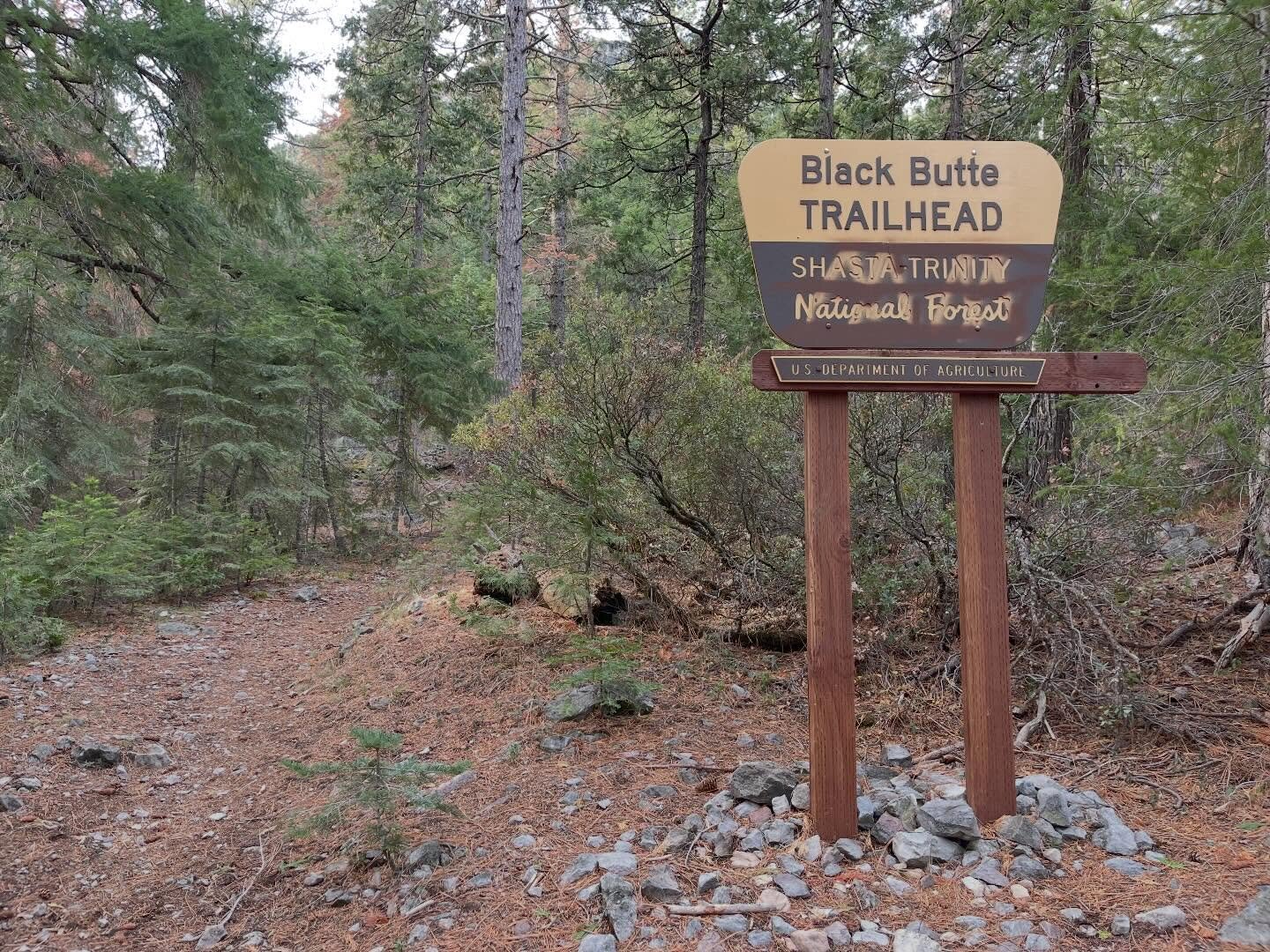
Black Butte looms right over I-5 just west of Mount Shasta City, a cluster of dacite lava domes that formed as a satellite vent to Shasta itself roughly 10,000 years ago. It looks like nothing more than a steep, impossibly loose pile of rock from the freeway, so it was a surprise to find a well-graded trail switchbacking up the north side the whole way to the top.
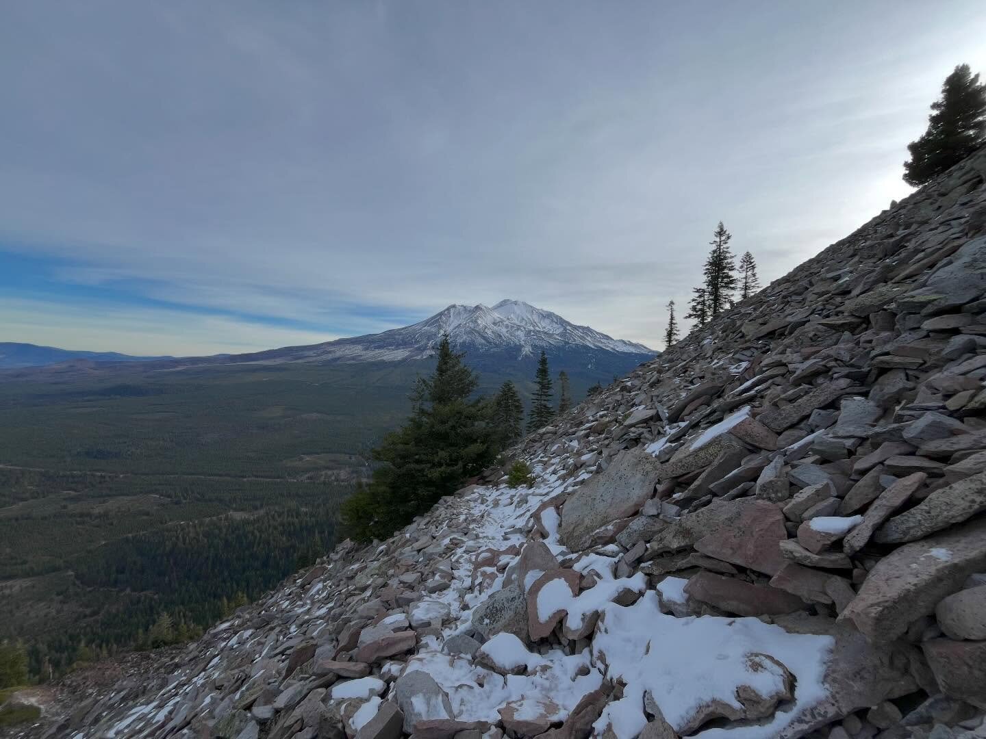
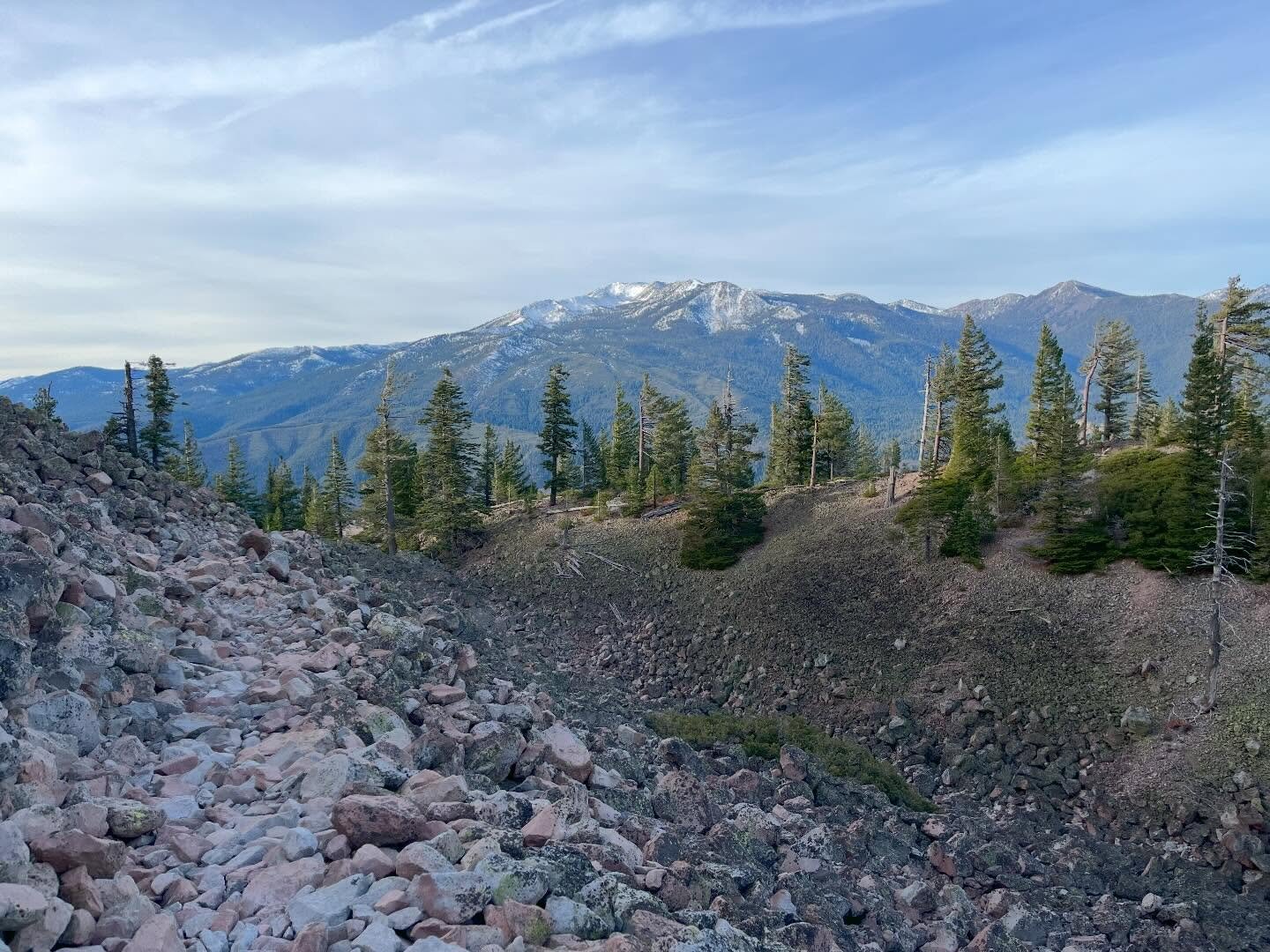
The route climbs through scattered timber before breaking out onto open talus slopes, with Mount Shasta filling more and more of the sky to the east with every switchback. December meant cold air and a low winter sun the whole way up, but clear skies and no snow on the trail itself made for easy travel over the loose volcanic rock.
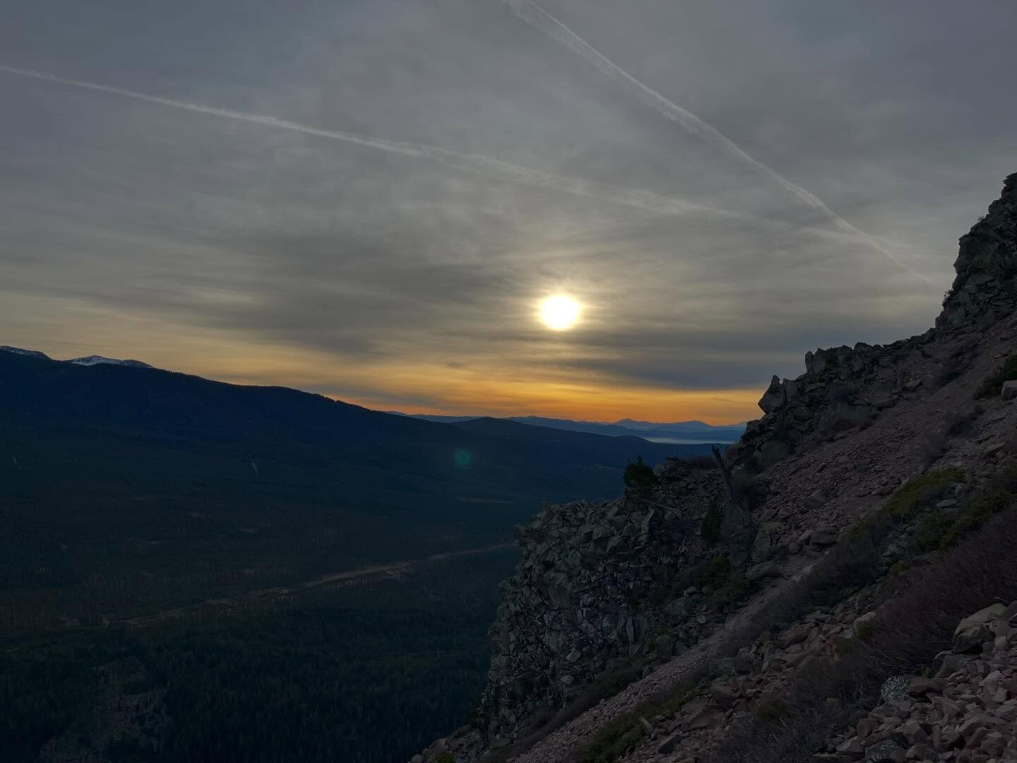
The summit delivers a genuine 360-degree panorama: Mount Shasta dominating the view to the east, Mount Eddy and the Klamath Mountains to the west, and the city of Mount Shasta laid out below to the south with the Sacramento River canyon and I-5 running through it. Timed to be up there as the sun dropped low, the light went gold and then faded to blue within a matter of minutes, the whole valley sinking into shadow while Shasta itself stayed lit a while longer.
A short, steep little mountain that's easy to write off from the freeway, but standing on top with Shasta looming that close and the valley below fading into dusk made it one of the better quick winter summits on this list.
Comments